
Maps & PrintsBartele Gallery · Langweer
Home / Antique Maps / Europe / Western Europe / United Kingdom & Ireland

United Kingdom & Ireland

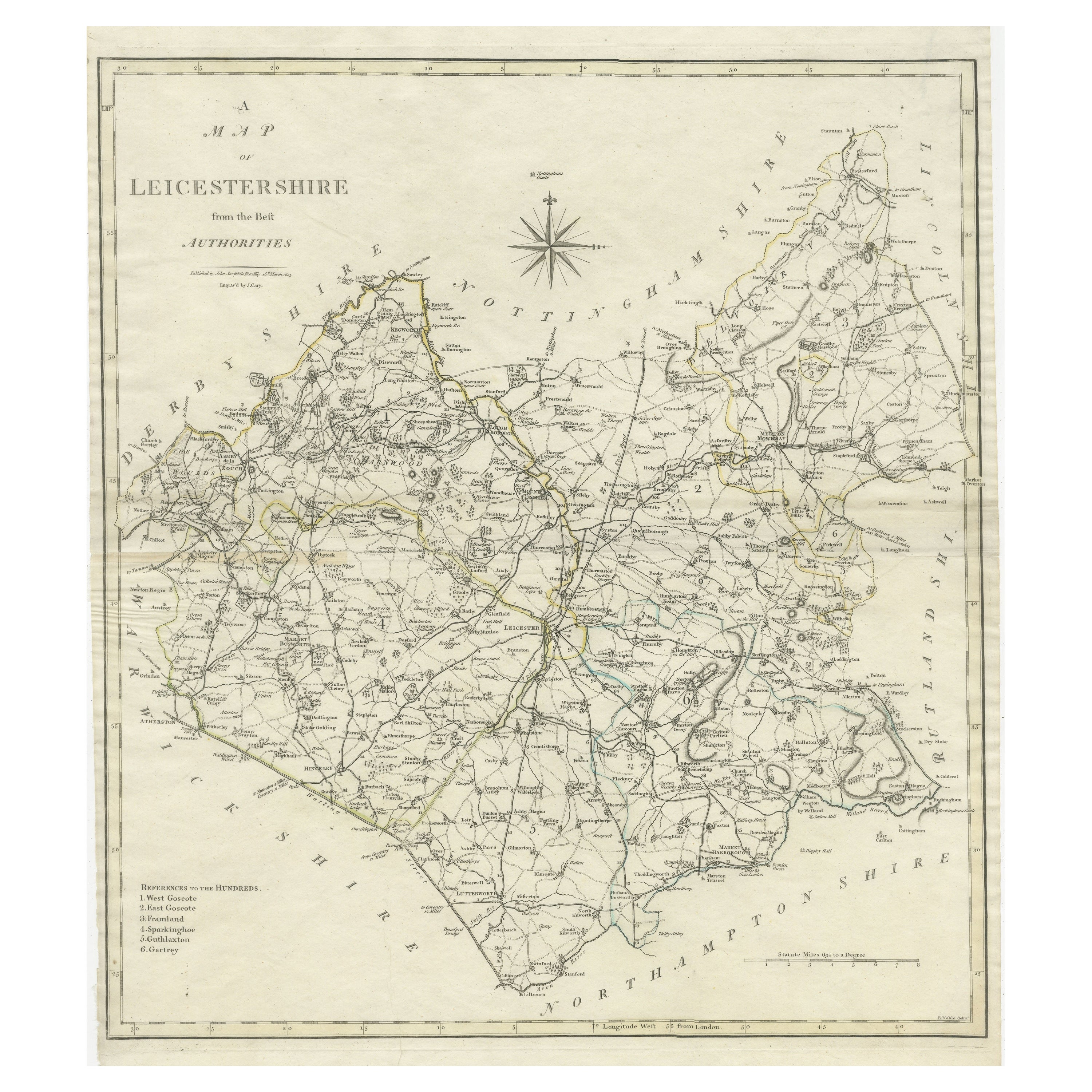

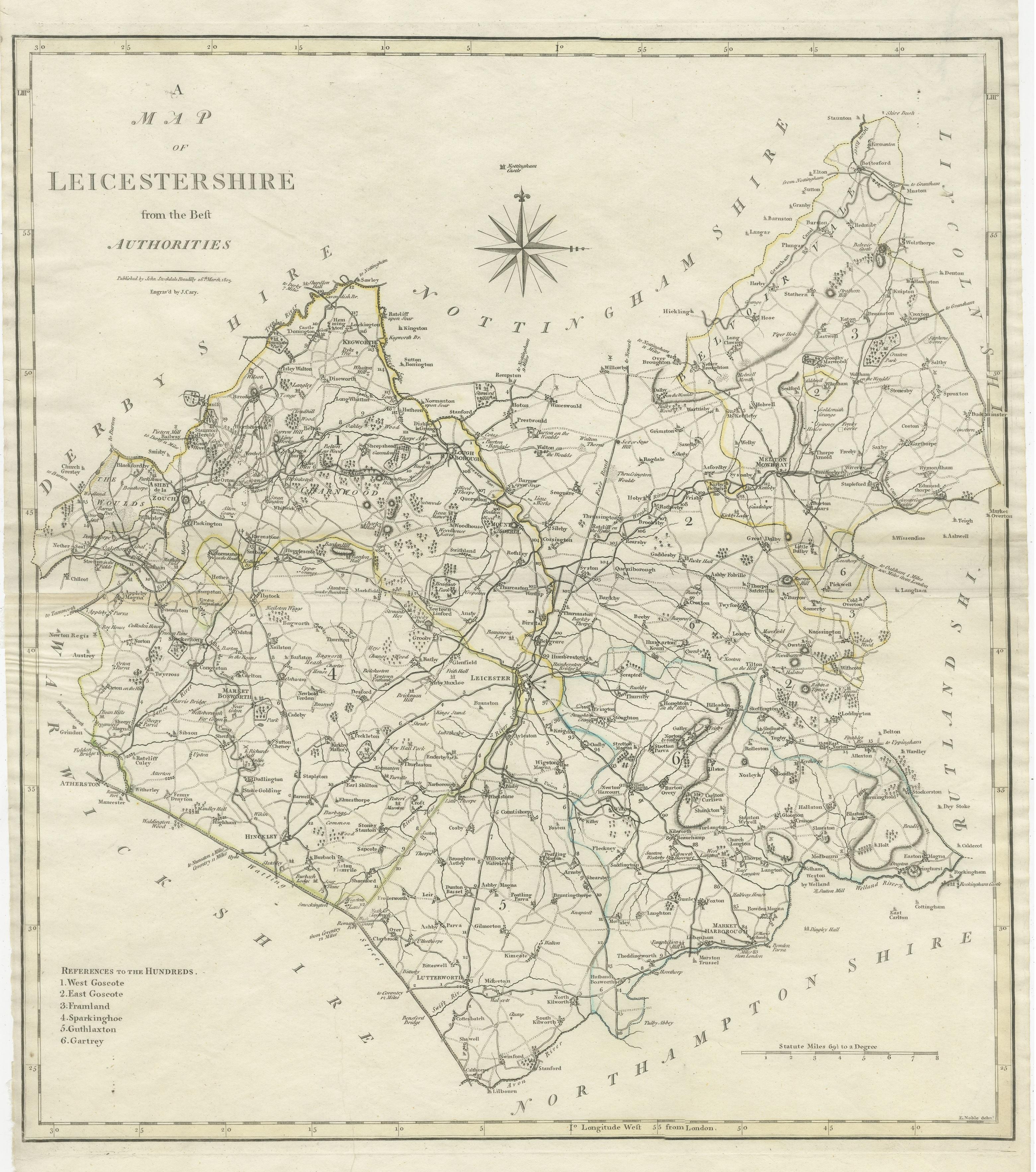
Large Antique County Map of Leicestershire, England, with Outline Coloring

€ 170

One of a kind: this is the sheet in the photographs. Ships from Langweer, the Netherlands.

Sheet size
56.4 × 43.7 cm (22.2 × 17.2 in)
Condition
Fair
Reference
BG-13394-11

Condition

General age-related toning. Few defects, sl. affecting image. Original folding lines. Shows wear and soiling, narrow margins. Please study image carefully.
About this sheet

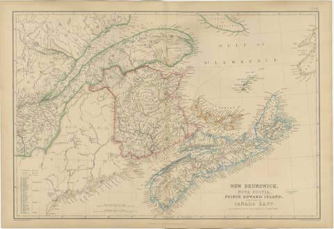
Antique map titled 'A Map of Leicestershire from the best Authorities'. Original old county map of Leicestershire, England. Engraved by John Cary. Originates from 'New British Atlas' by John Stockdale, published 1805.

John Cary (1755-1835) was a British cartographer and publisher best known for his clean engraving and distinct style which influenced the entire map industry.

More from United Kingdom & Ireland

Ask about this sheet

Large Antique County Map of Leicestershire, England, with Outline Coloring
Ref. BG-13394-11 · € 170
We reply by email, usually within one working day.