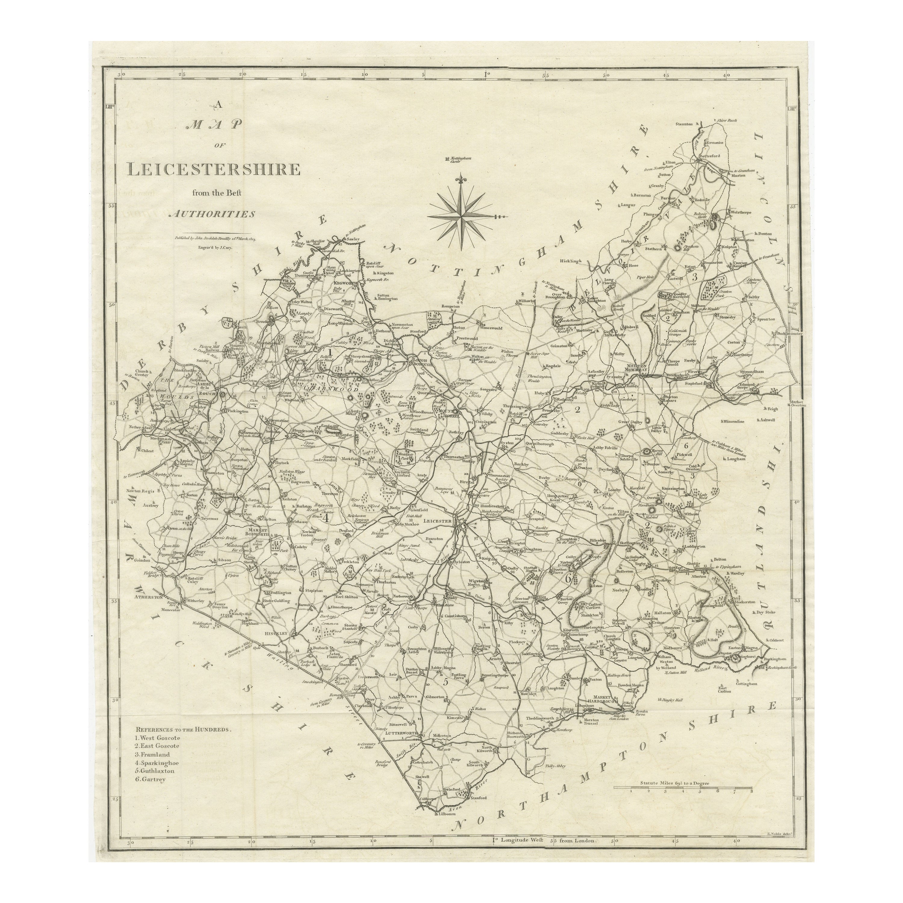
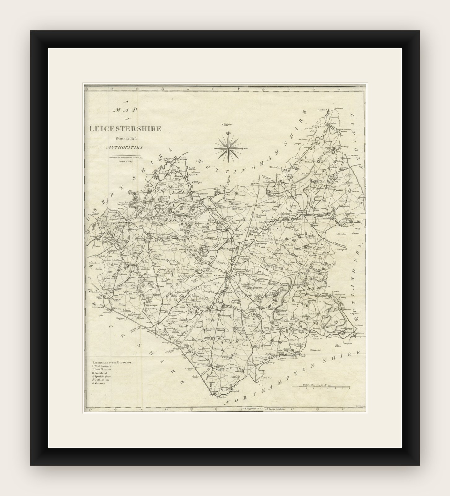
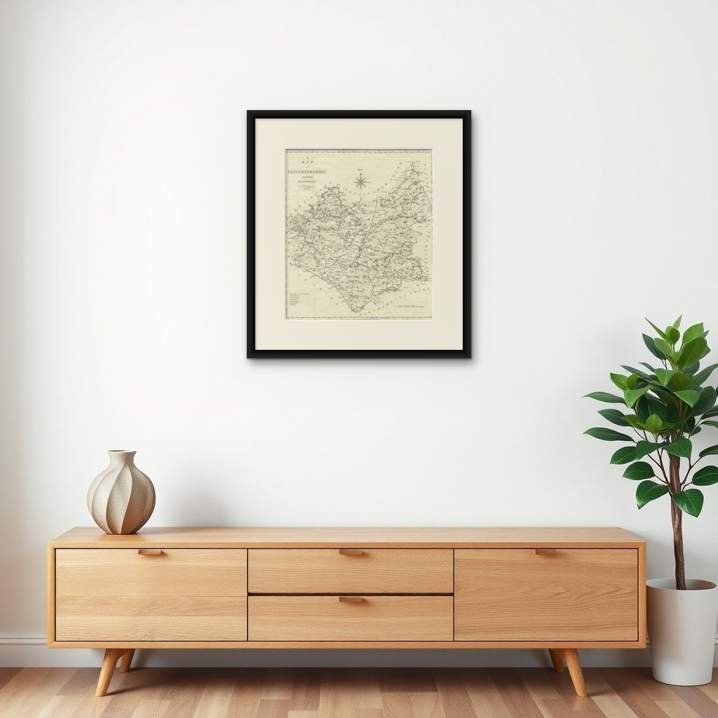
Large Antique County Map of Leicestershire, England, 1805
€ 230
Original antique · The actual sheet photographed · Certificate of authenticity on request · Sold unframed · Worldwide shipping from € 15 (rates)
Date
1805
Sheet size
51.7 × 44 cm (20.4 × 17.3 in)
Condition
Good
Reference
BG-13394-10
What the condition grades mean
Excellent
Bright and clean, with no faults worth mentioning.
Very good
Only light signs of age, such as faint toning.
Good
Normal signs of age for a sheet of this period: toning, some foxing, small marks or neat old repairs.
Fair
Clear faults such as staining, tears or repairs, priced to match.
Every fault we see is written in the condition note, and the whole sheet is shown uncropped in the photos.
Condition
General age-related toning. Original folding lines. Minor wear and soiling, narrow margins. Please review the images for further condition details.
About this sheet
Explore Leicestershire's Past: Antique Map by John Cary
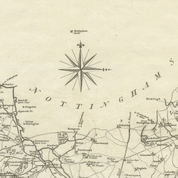
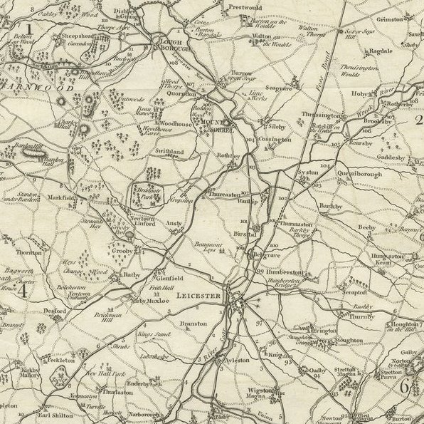
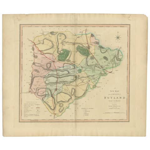
Step into the history of Leicestershire, England, with this original old county map engraved by the renowned cartographer John Cary. Titled 'A Map of Leicestershire from the best Authorities,' this intricate map showcases the region's geography, boundaries, and landmarks, capturing the essence of the area during Cary's era.
Derived from the 'New British Atlas' by John Stockdale and published in 1805, this map represents Cary's distinct cartographic style and meticulous engraving techniques. Cary, a prominent British cartographer and publisher from 1755 to 1835, revolutionized the map industry with his refined artistry and precision.
Known for his influence on mapmaking, Cary's work set high standards for clarity and detail, shaping the entire cartographic landscape. His dedication to accuracy and distinct style is evident in this Leicestershire map, making it not only a historical document but also a testament to Cary's enduring legacy in the world of cartography.
Collectors, historians, and map enthusiasts alike treasure Cary's maps for their historical significance and aesthetic appeal. This antique map serves as a timeless representation of Leicestershire's geography, offering a glimpse into the past while celebrating Cary's enduring impact on the art of mapmaking.