
Maps & PrintsBartele Gallery · Langweer
Home / Antique Maps / Europe / Western Europe / United Kingdom & Ireland

United Kingdom & Ireland

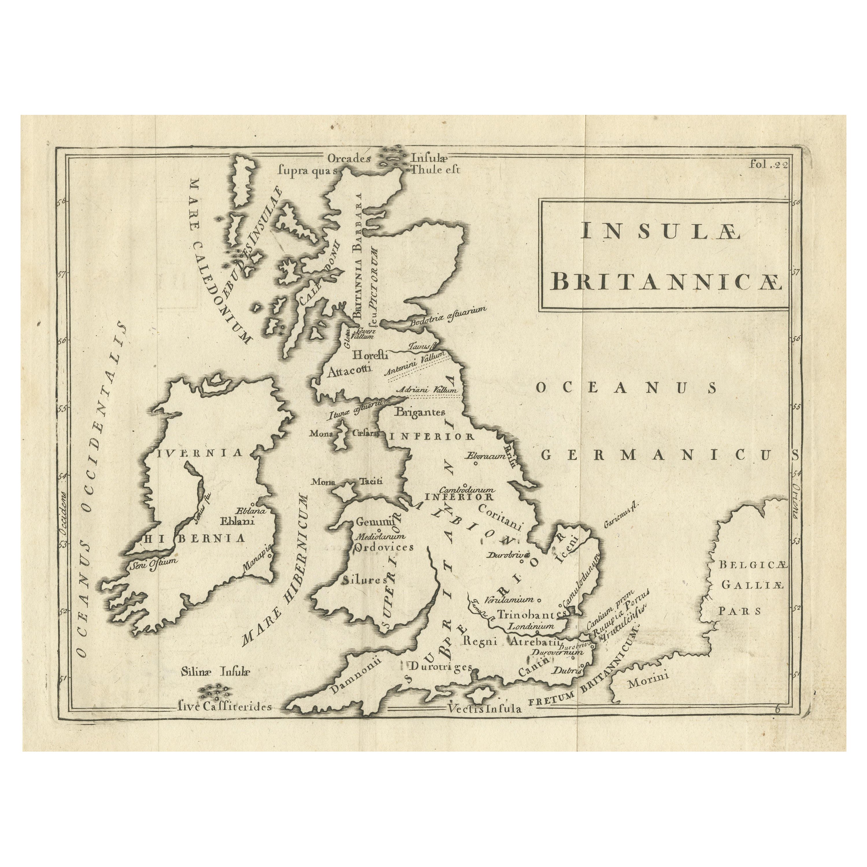
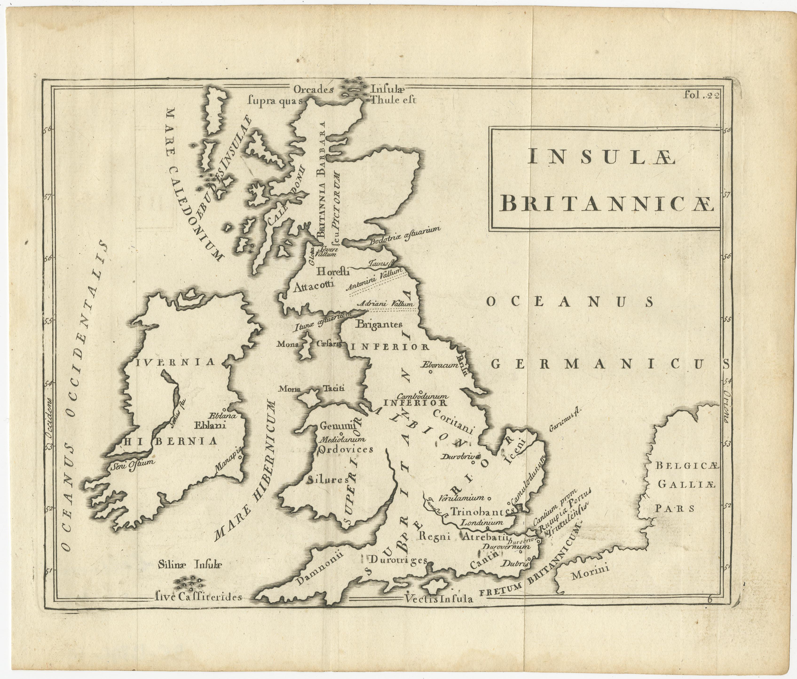
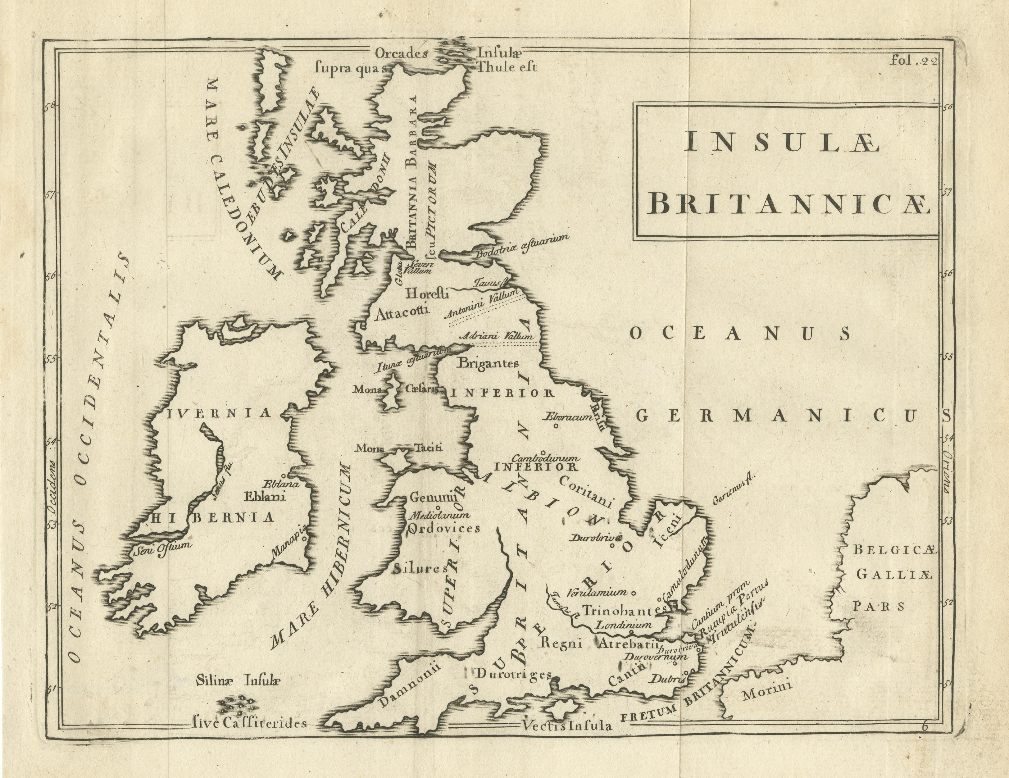
Antique Map of the British Isles with Walls, Settlements and Other Features

€ 220

One of a kind: this is the sheet in the photographs. Ships from Langweer, the Netherlands.

Sheet size
20 × 23.5 cm (7.9 × 9.3 in)
Condition
Good
Reference
BG-13396-10

Condition

Age-related toning. Original folding lines. Shows some wear and soiling. Light staining in margins and two very tiny holes in upper margin. Please study image carefully.
About this sheet

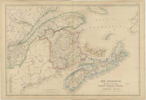
Antique map titled 'Insulae Britannicae'. Interesting map of Britain, Scotland, and Ireland. It shows a rudimentary outline of the islands according to the geography of the Roman Empire, after Caesar’s legions subjugated the numerous local tribes in the south. Several such groups are labeled in Latin across the image. Walls, major settlements (including Londinium) and prominent geographic features are also named. Published circa 1780.

More from United Kingdom & Ireland

Ask about this sheet

Antique Map of the British Isles with Walls, Settlements and Other Features
Ref. BG-13396-10 · € 220
We reply by email, usually within one working day.