Original antique · The actual sheet photographed · Certificate of authenticity on request · Sold unframed · Worldwide shipping from € 15 (rates)
Sheet size
21 × 27 cm (8.3 × 10.6 in)
Condition
Good
Reference
BG-13321-3
What the condition grades mean
Excellent
Bright and clean, with no faults worth mentioning.
Very good
Only light signs of age, such as faint toning.
Good
Normal signs of age for a sheet of this period: toning, some foxing, small marks or neat old repairs.
Fair
Clear faults such as staining, tears or repairs, priced to match.
Every fault we see is written in the condition note, and the whole sheet is shown uncropped in the photos.
Condition
Wear consistent with age and use. General age-related toning, minor wear. Blank verso. Please review the images for further condition details.
About this sheet
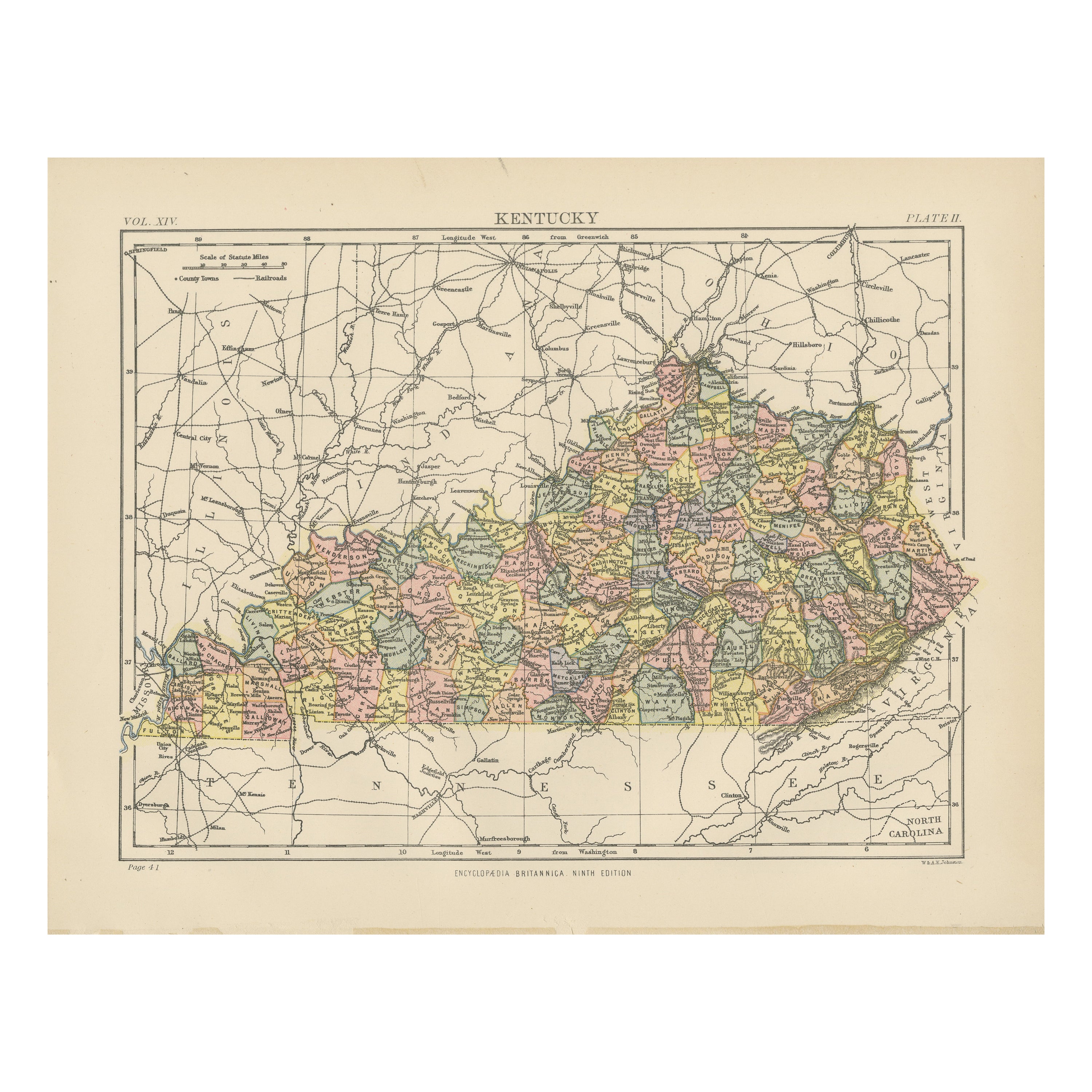
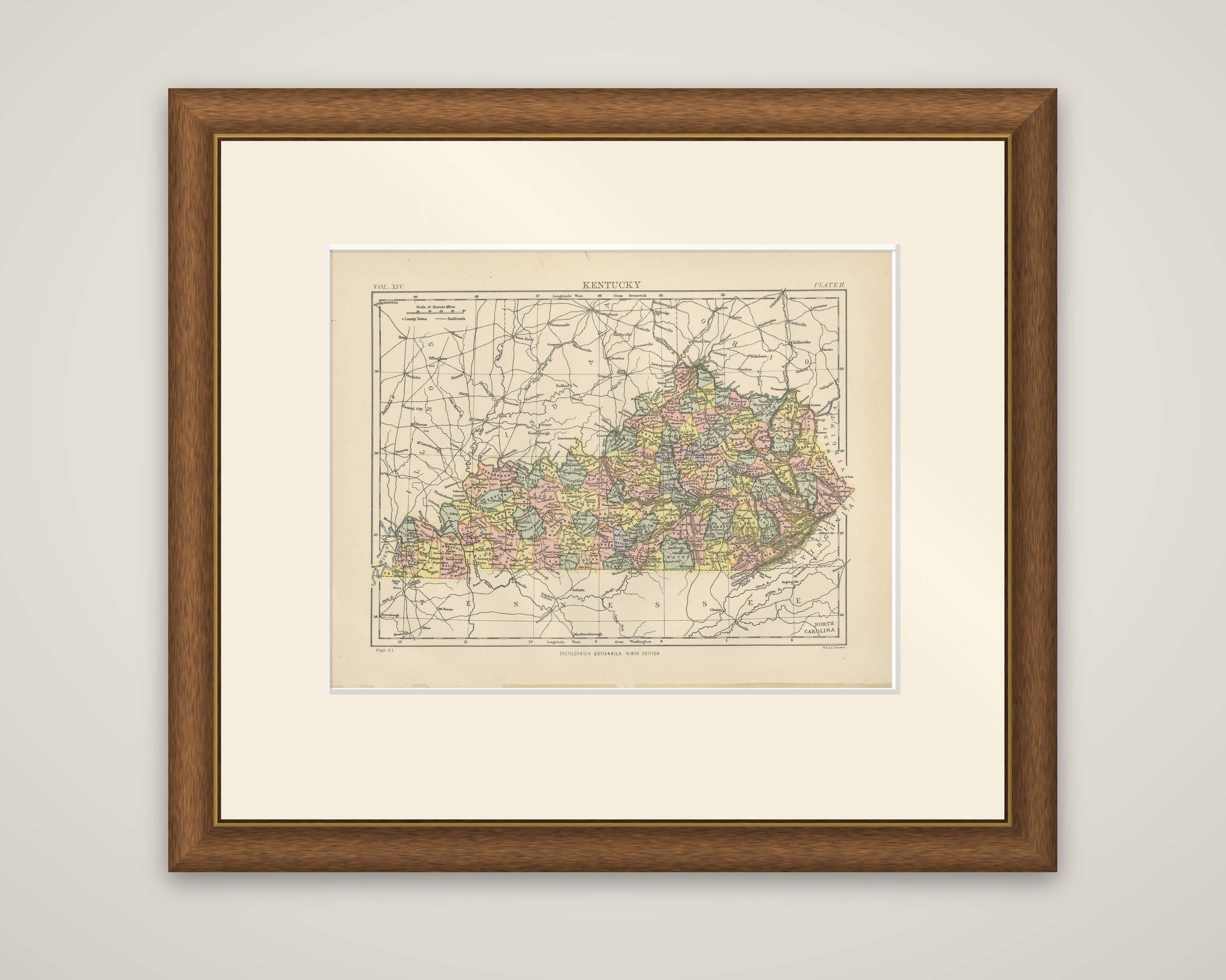
Kentucky in a color-printed county map titled "Kentucky", from the Ninth Edition of the Encyclopaedia Britannica, published in 1882. The sheet is engraved and printed in color, with the many small counties tinted in pink, yellow, green and gray.
The state is drawn with the Ohio River following its long northern boundary against Ohio, Indiana and Illinois, and the Mississippi forming the far western tip. Tennessee lies along the southern edge, Virginia and West Virginia on the east, and North Carolina is named at the lower right. County names and county seats are lettered through the interior, and railroads are drawn as fine lines across the state and into the neighboring states. A scale of statute miles and a key to county towns and railroads are given in the upper left corner. The volume and plate numbers are printed at the top, and the imprint appears at the lower right.
The map shows Kentucky with its unusually large number of counties, which are packed especially closely in the east, in the years of the railroad expansion that followed the Civil War.