About this sheet
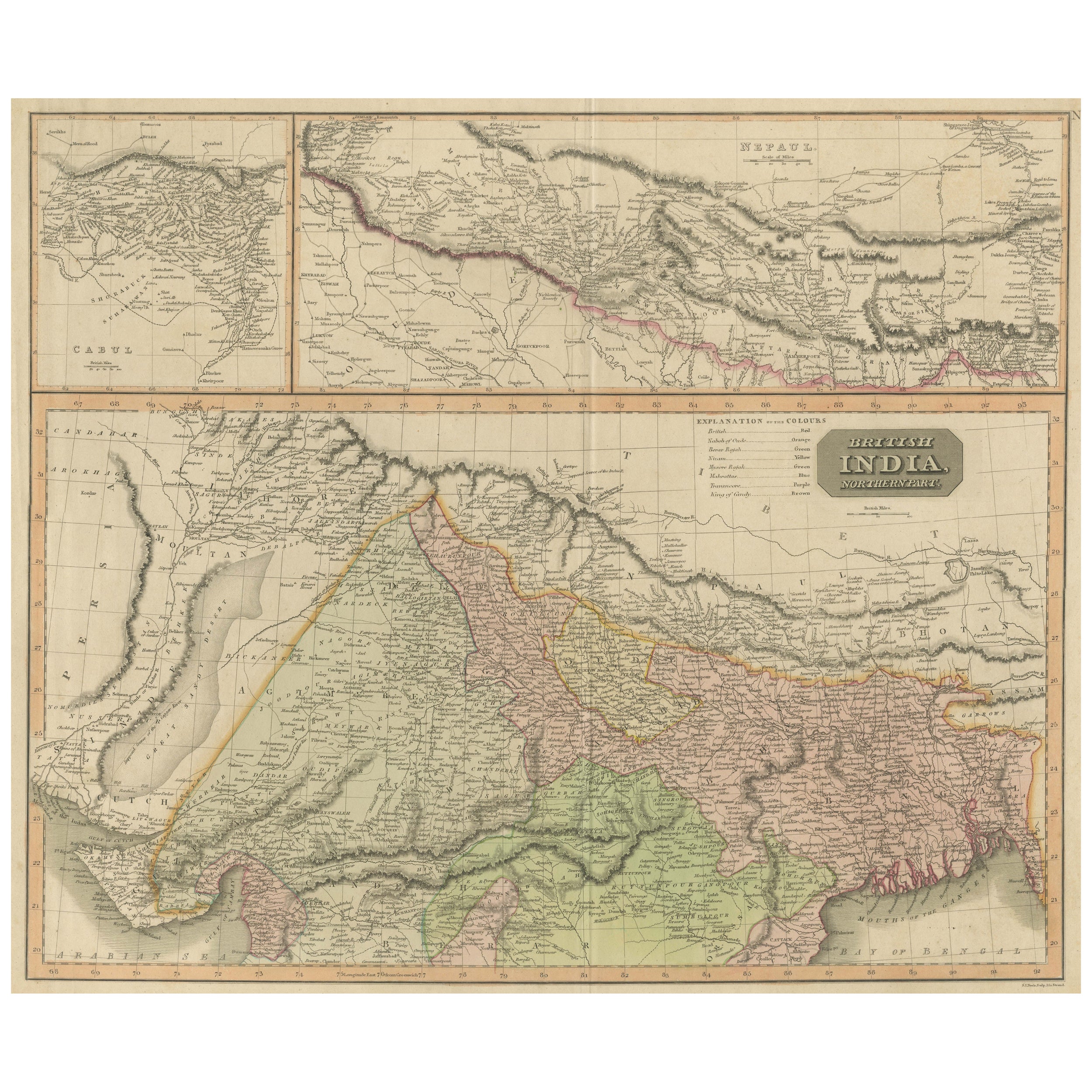

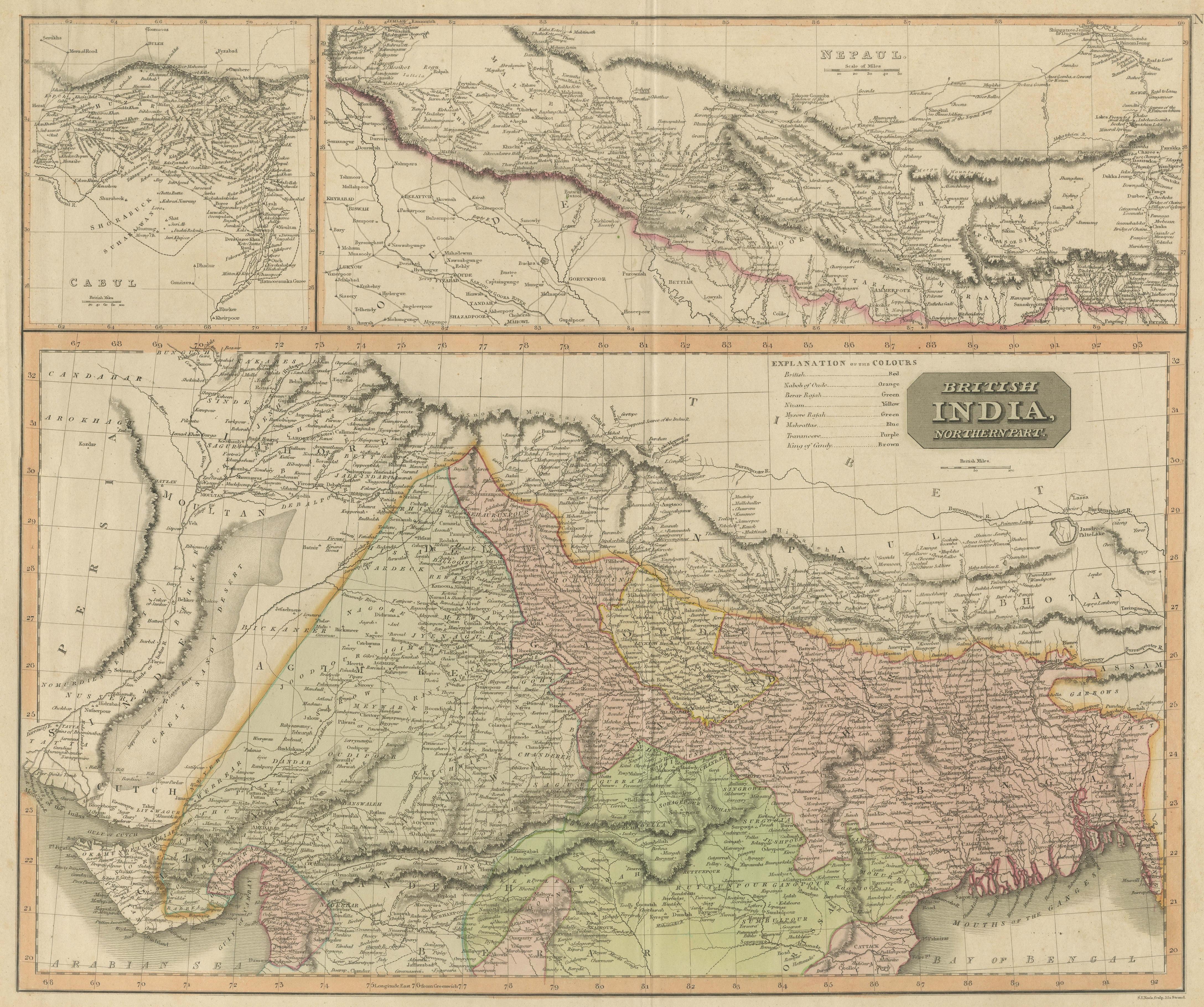
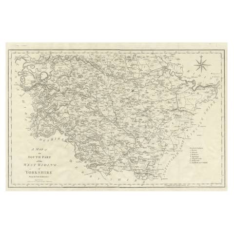
Antique map titled 'British India, northern part'. Large format map of the northern area of the Indian subcontinent. The map is engraved in the minimalist English style pioneered in the early part of the 19th century, a style which reduced maps’ decorative elements to a minimum. Relief is shown by hachure with towns, cities, and major topographical features identified. A large inset above the main map depicts Nepal in great detail, and to its left a smaller inset depicts the environs of Kabul, Afghanistan.
Drawn and engraved for Thomson's 'New General Atlas', 1817. John Thomson (1777 - 1841) was a Scottish cartographer, publisher, and bookbinder active in Edinburgh during the early part of the 19th century. Thomson apprenticed under Edinburgh bookbinder Robert Alison. Thomson was one of the leading publishers in the Edinburgh school of cartography, which flourished in the early decades of the 19th century. Thomson and his contemporaries (Pinkerton and Cary) redefined European cartography by abandoning typical 18th century decorative elements such as elaborate title cartouches and fantastic beasts in favor of detail and accuracy.