About this sheet
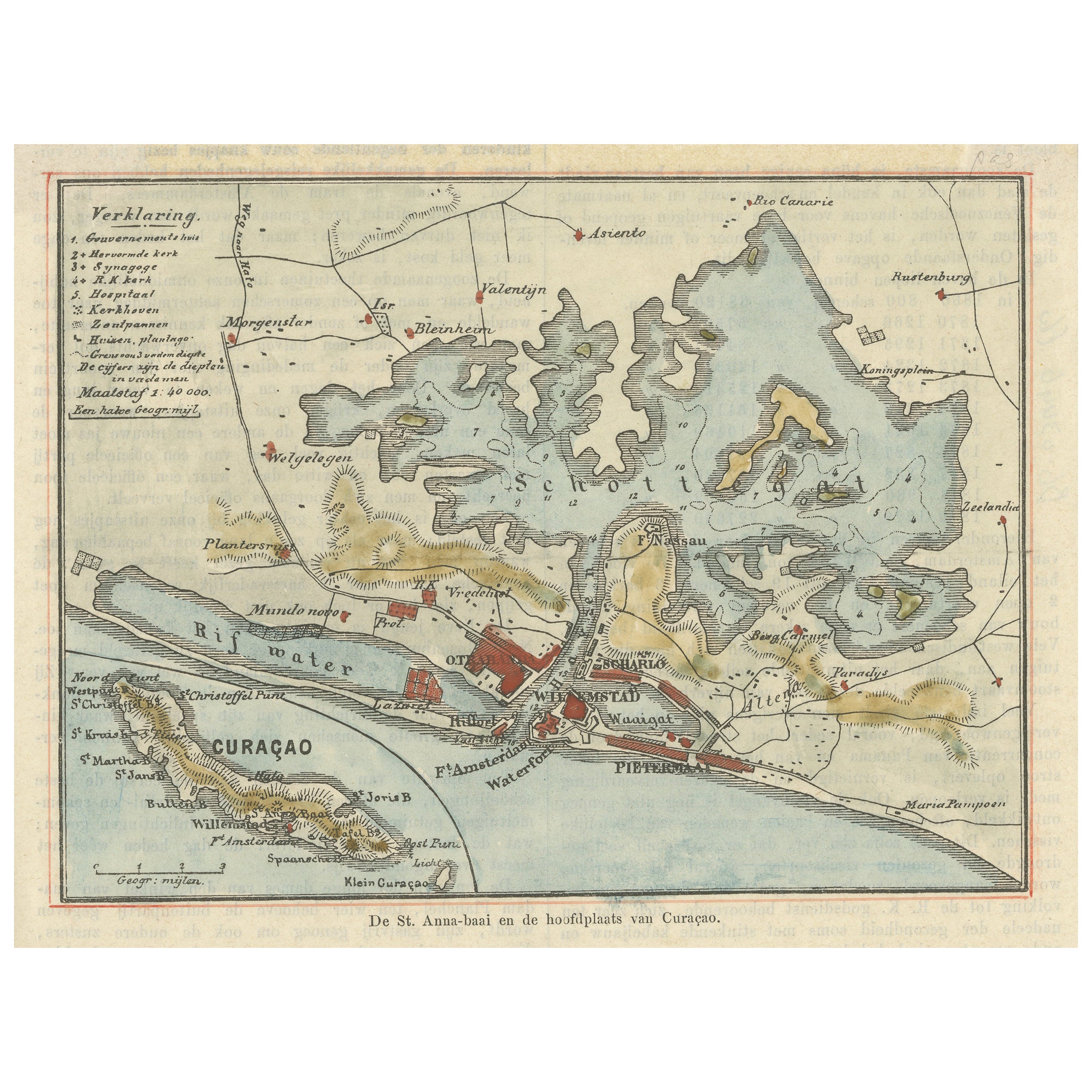
Map of St. Anna Bay and Willemstad, Curaçao – Dutch Colonial View, c. 1880
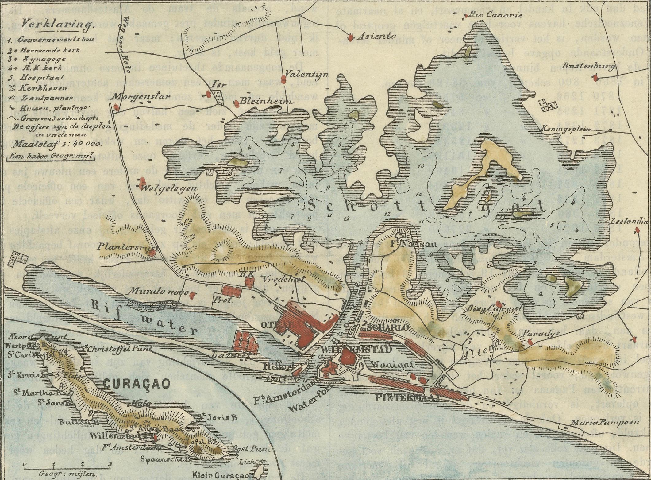
This attractive late 19th-century map titled “De St. Anna-baai en de hoofdstad van Curaçao” offers a detailed topographic and urban depiction of the island of Curaçao and its capital, Willemstad, centered around the vital waterway of St. Anna Bay. This lithographed map, printed circa 1880 in the Netherlands, is hand-colored and was likely intended for a Dutch school atlas or geographic publication.
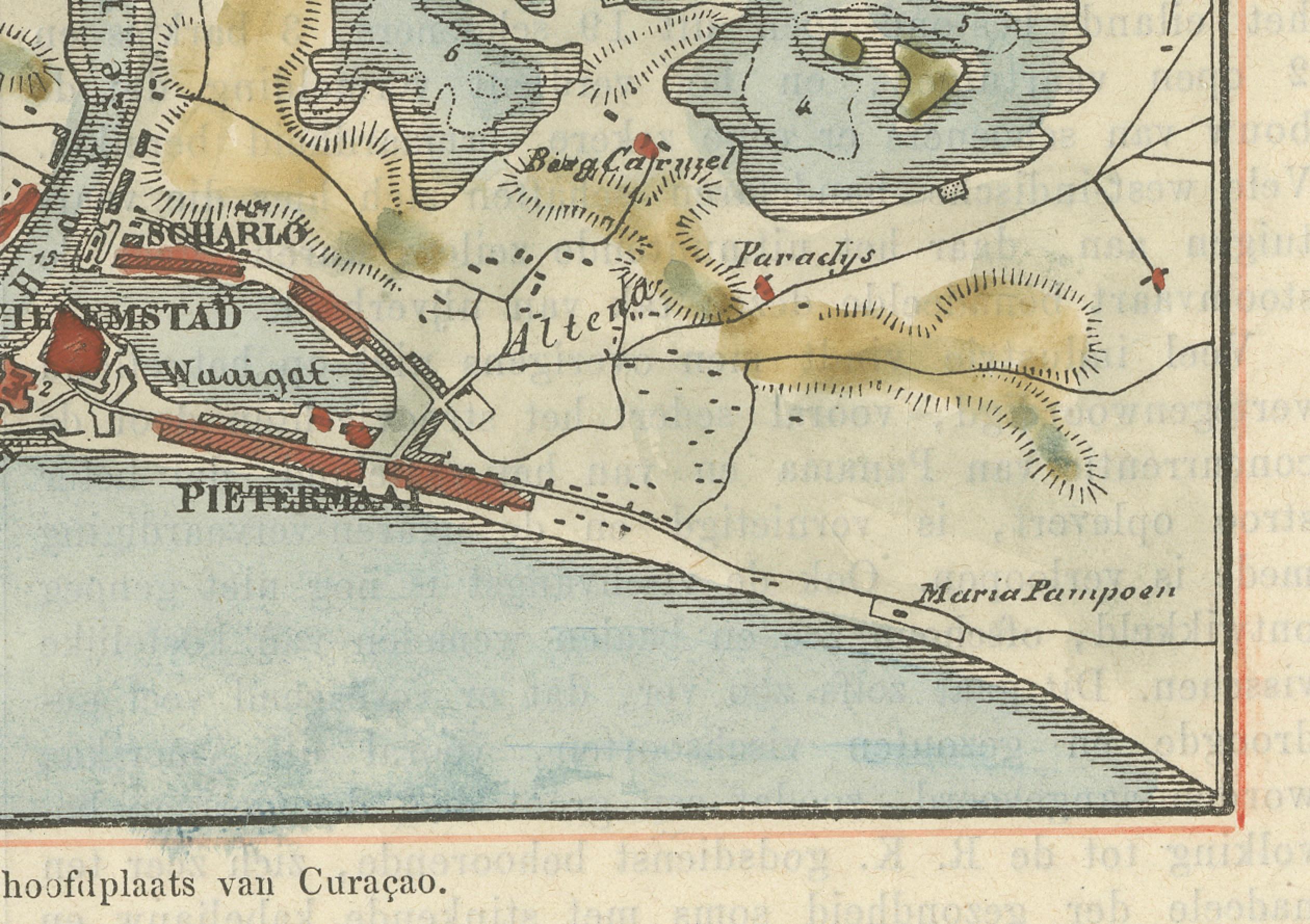
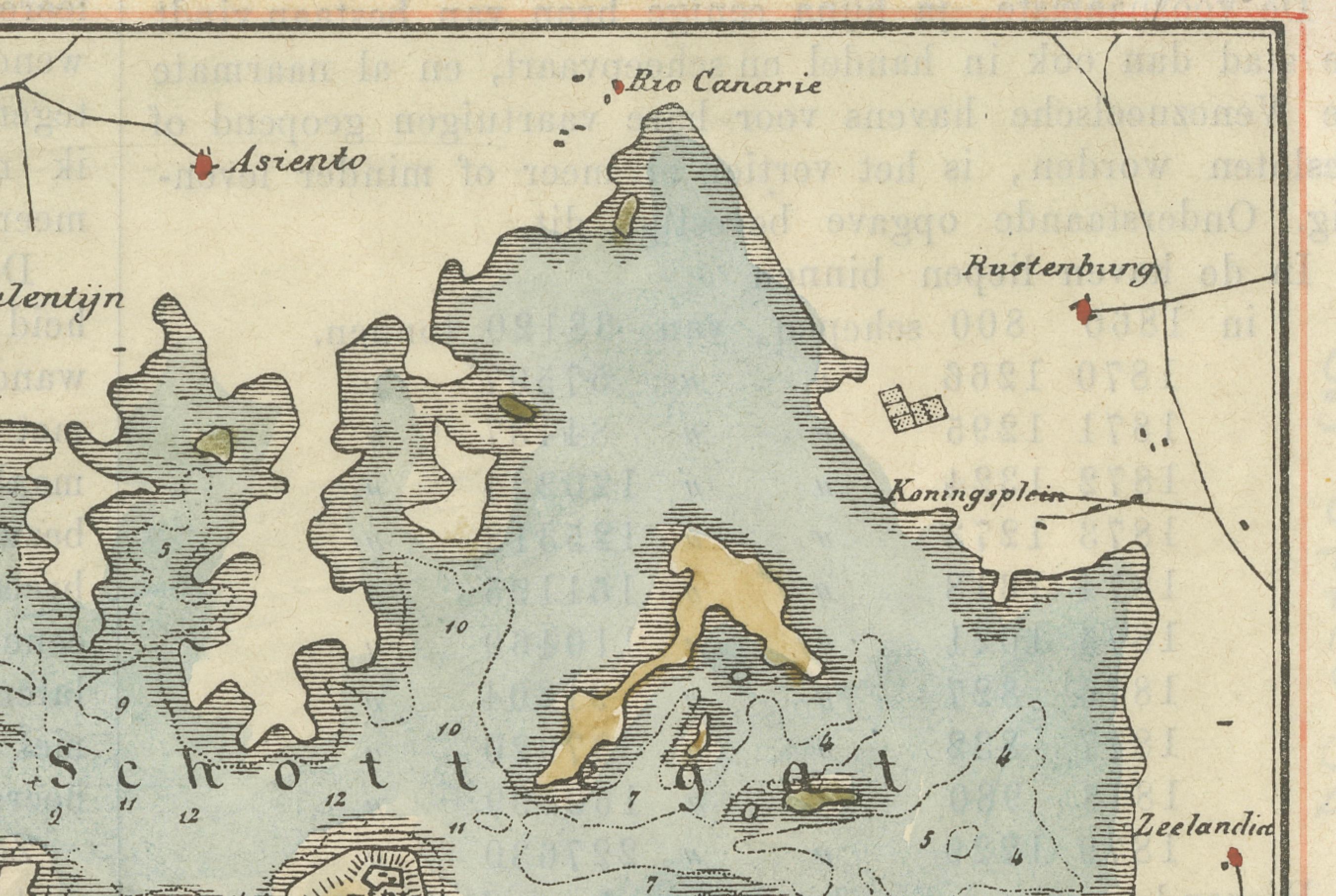
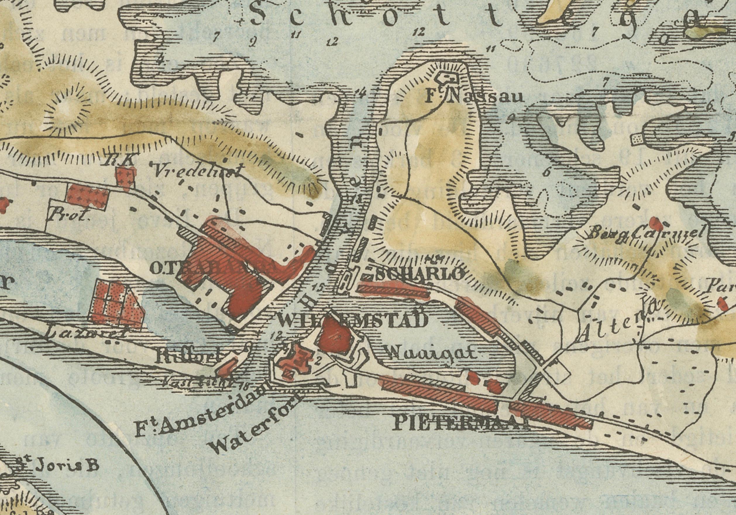
The map covers both the densely developed southern shore of the bay—home to the capital—and the surrounding inland plantation lands, neighborhoods, and military installations. Notable locations like Pietermaai, Otrabanda, Scharloo, Punda, and Riffort are clearly marked, along with prominent estates such as Welgelegen, Zeelandia, and Rustenburg.
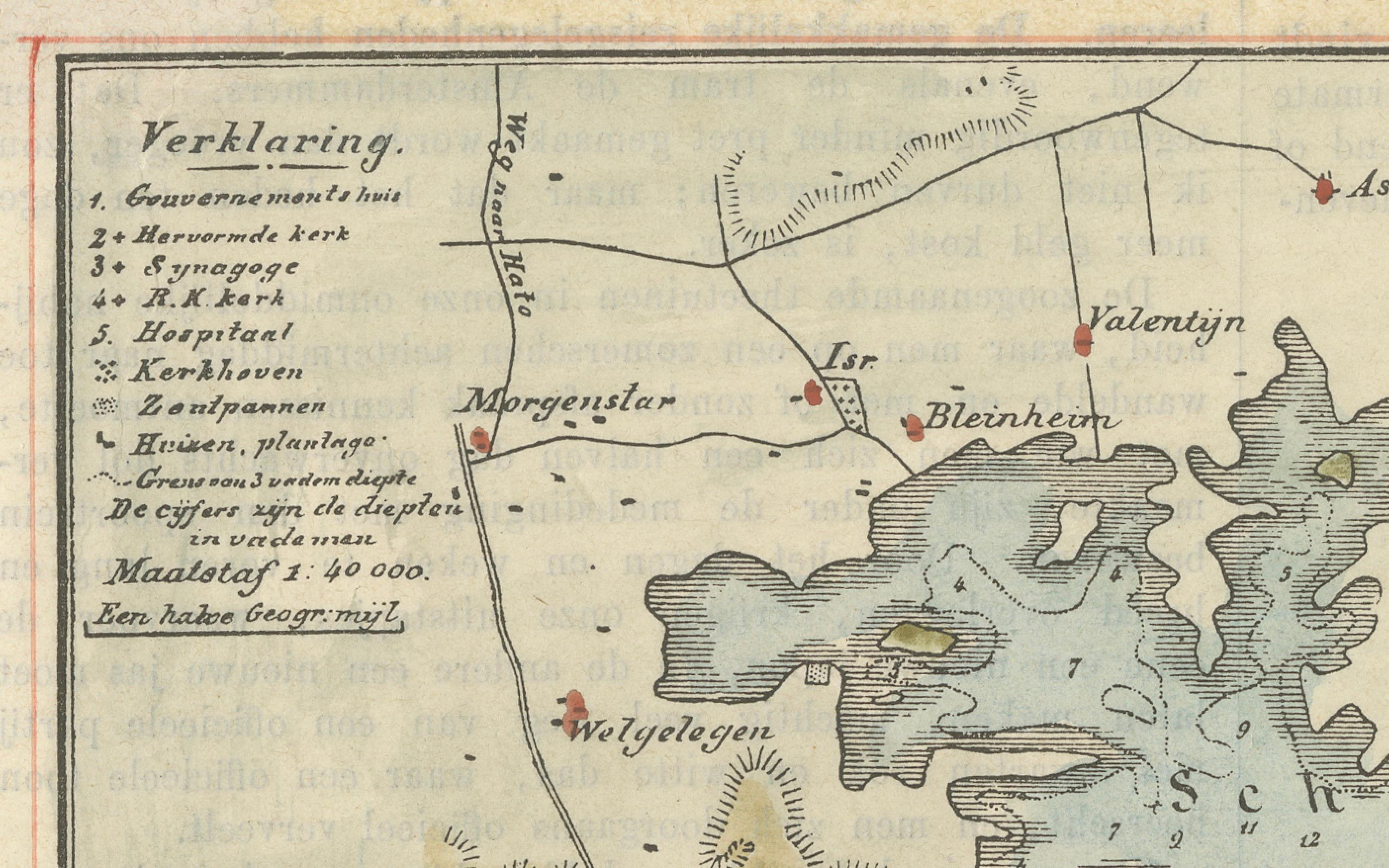
A legend at the upper left lists numbered locations, including:
1. Government House
2. Reformed Church
3. Synagogue
4. Roman Catholic Church
5. Hospital
6. Cemeteries
7. Forts
8. Plantations
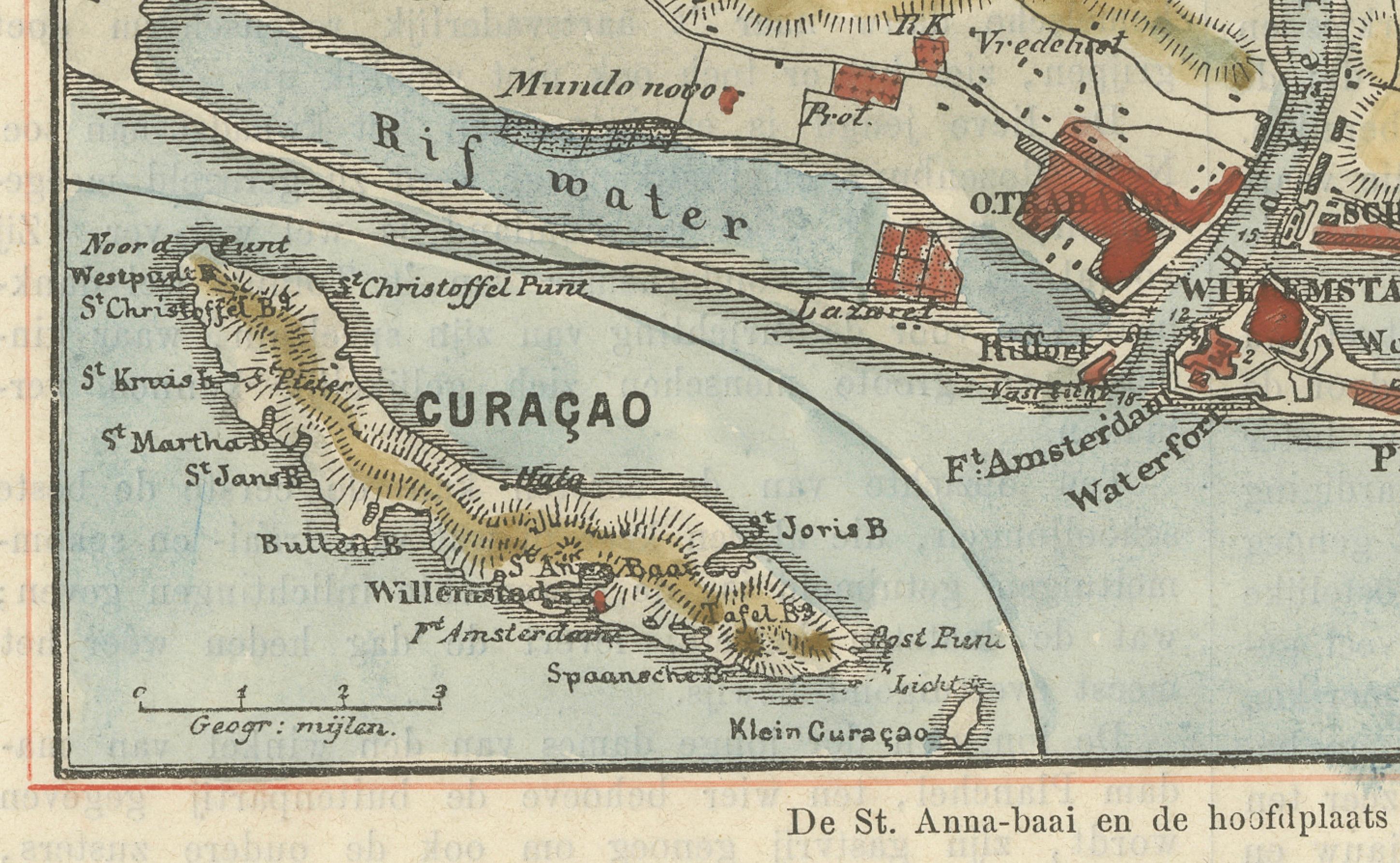
The town’s structure is shown in fine detail with red-tinted buildings, road networks, and shaded elevation, while the blue-toned bay and Rifwater channel emphasize the harbor’s strategic and economic importance. On the bottom left, the entire island of Curaçao is inset for broader context, complete with place names such as Willemstad, St. Kruis, Bullenbaai, and Klein Curaçao.
This map is a valuable visual artifact from the Dutch colonial era, offering insight into the layout, administration, and function of Curaçao as a Caribbean port and naval station under Dutch rule. The contrast between the fortified city, its churches and synagogues, and the surrounding plantation economy is clearly visible.
Condition report:
Good condition. Light age toning. Original hand coloring remains vibrant. No tears. Light text bleed-through from verso, typical for the period. Ample margins for framing.
Framing suggestion:
A modern archival mat in soft ivory with a thin black or colonial-style wood frame complements the cartographic detail and period charm. Consider UV-protective glass to preserve the delicate hand-coloring.