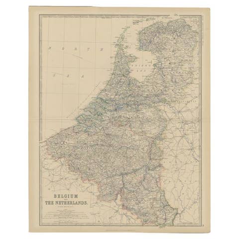
1882 Map of Belgium and The Netherlands Highlighting Geographical Details
€ 220
Original antique · The actual sheet photographed · Certificate of authenticity on request · Sold unframed · Worldwide shipping from € 15 (rates)
Date
1882
Sheet size
38 × 28 cm (15.0 × 11.0 in)
Condition
Good
Reference
BG-13601-2-22
What the condition grades mean
Excellent
Bright and clean, with no faults worth mentioning.
Very good
Only light signs of age, such as faint toning.
Good
Normal signs of age for a sheet of this period: toning, some foxing, small marks or neat old repairs.
Fair
Clear faults such as staining, tears or repairs, priced to match.
Every fault we see is written in the condition note, and the whole sheet is shown uncropped in the photos.
Condition
Condition report: The map is in good condition with minimal edge wear. Slight toning and occasional spotting are present, consistent with its age. The engraving remains sharp, and the colors are well-preserved. Fold line in middle, as issued.
About this sheet
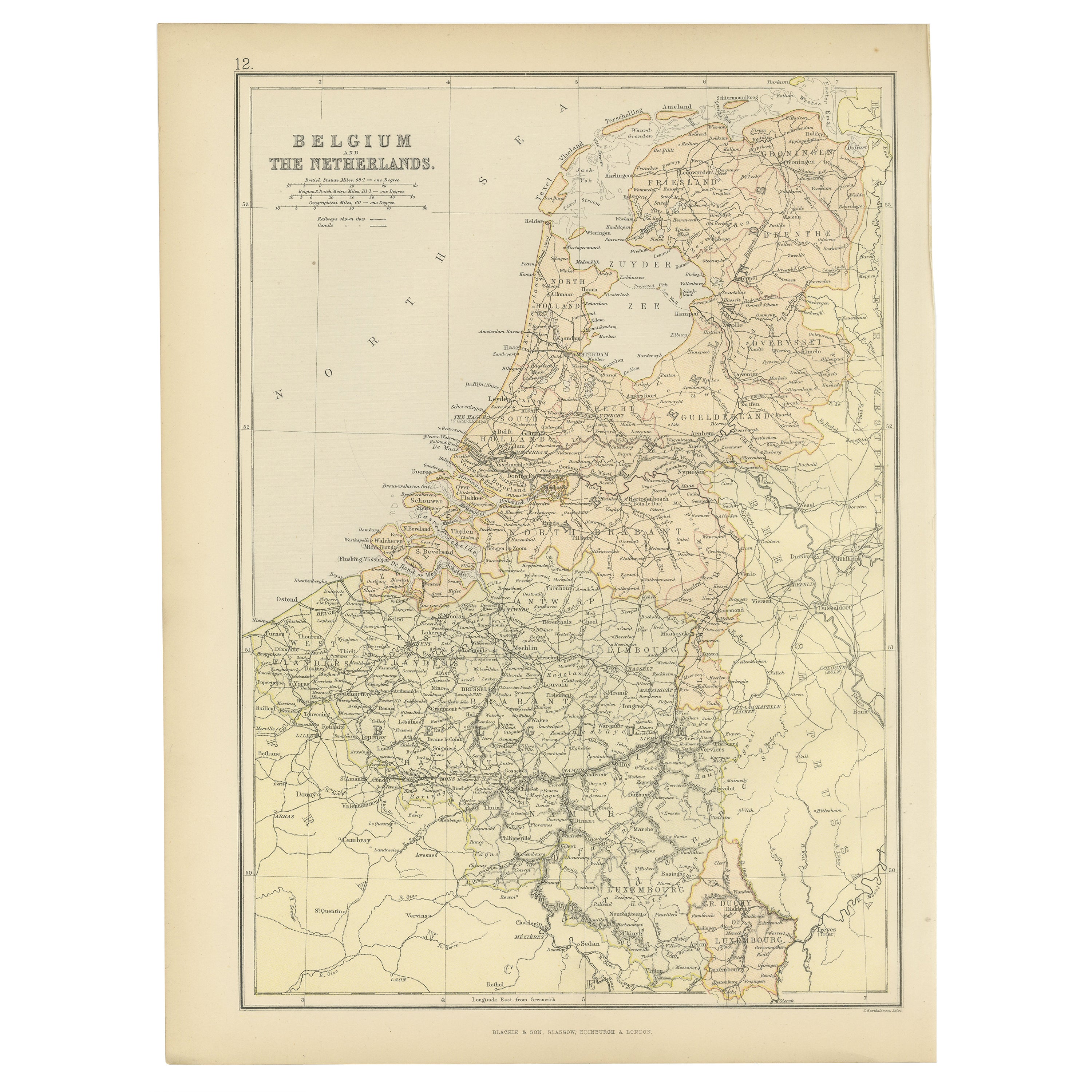
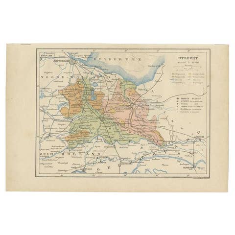
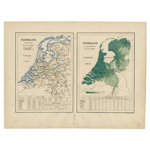
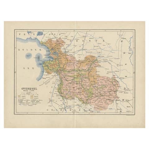
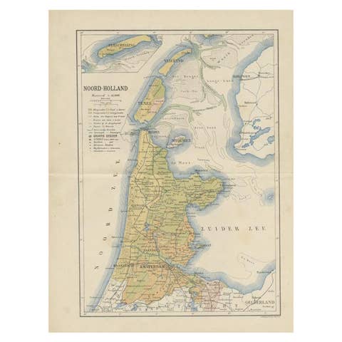
1882 Map of Belgium and The Netherlands Highlighting Geographical Details
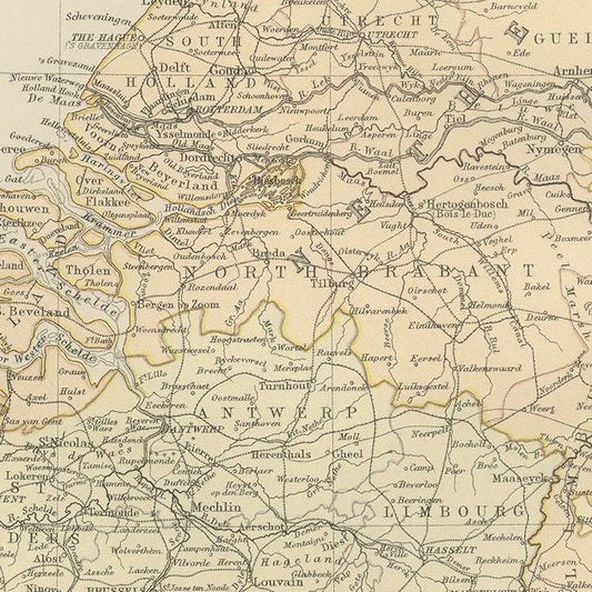
This 1882 map of Belgium and The Netherlands, published by Blackie and Son as part of the 'Comprehensive Atlas and Geography of the World,' offers a detailed representation of the two neighboring countries. It highlights their political boundaries, major cities, towns, and transportation networks, reflecting the infrastructure of the time. The map provides a clear view of key cities such as Amsterdam, Rotterdam, Brussels, and Antwerp, showcasing their roles as significant urban centers.
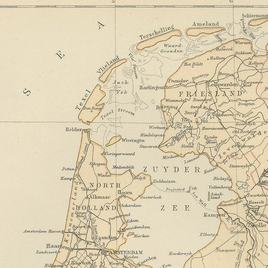
Topographical features, including rivers such as the Rhine, Meuse, and Scheldt, are prominently displayed, emphasizing the importance of waterways in the region's economy and transport. The map also captures the flat landscapes of The Netherlands, including the Zuiderzee (now largely reclaimed as the IJsselmeer) and the intricate network of canals. In Belgium, the rolling hills and urban density of Flanders and Wallonia are well-depicted. Subtle pastel shading is used to differentiate regions, adding a visual charm to the cartography.
Condition report: The map is in good condition with light toning and occasional spotting consistent with its age. The engraving remains sharp, and the colors are vibrant. There are no visible tears or repairs, and the margins are intact.
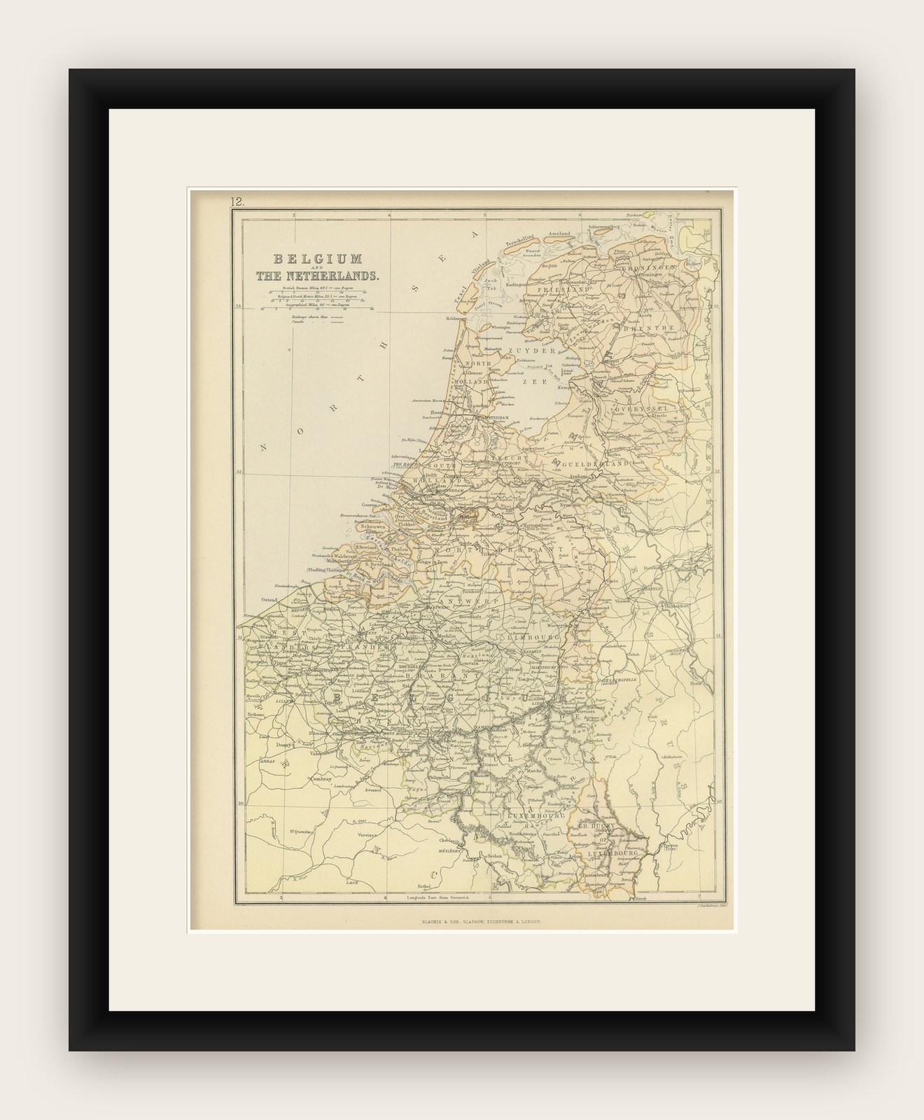
Framing tips: Use a classic wooden frame in walnut or dark oak to complement the map’s vintage character. A double mat with a cream or off-white inner mat and a soft green or light beige outer mat enhances the delicate pastel tones. UV-protective glass is recommended to prevent fading and preserve the map for long-term display.