About this sheet
Sabang Bay & Pulau Weh – Antique Dutch Colonial Map of Sumatra, Indonesia
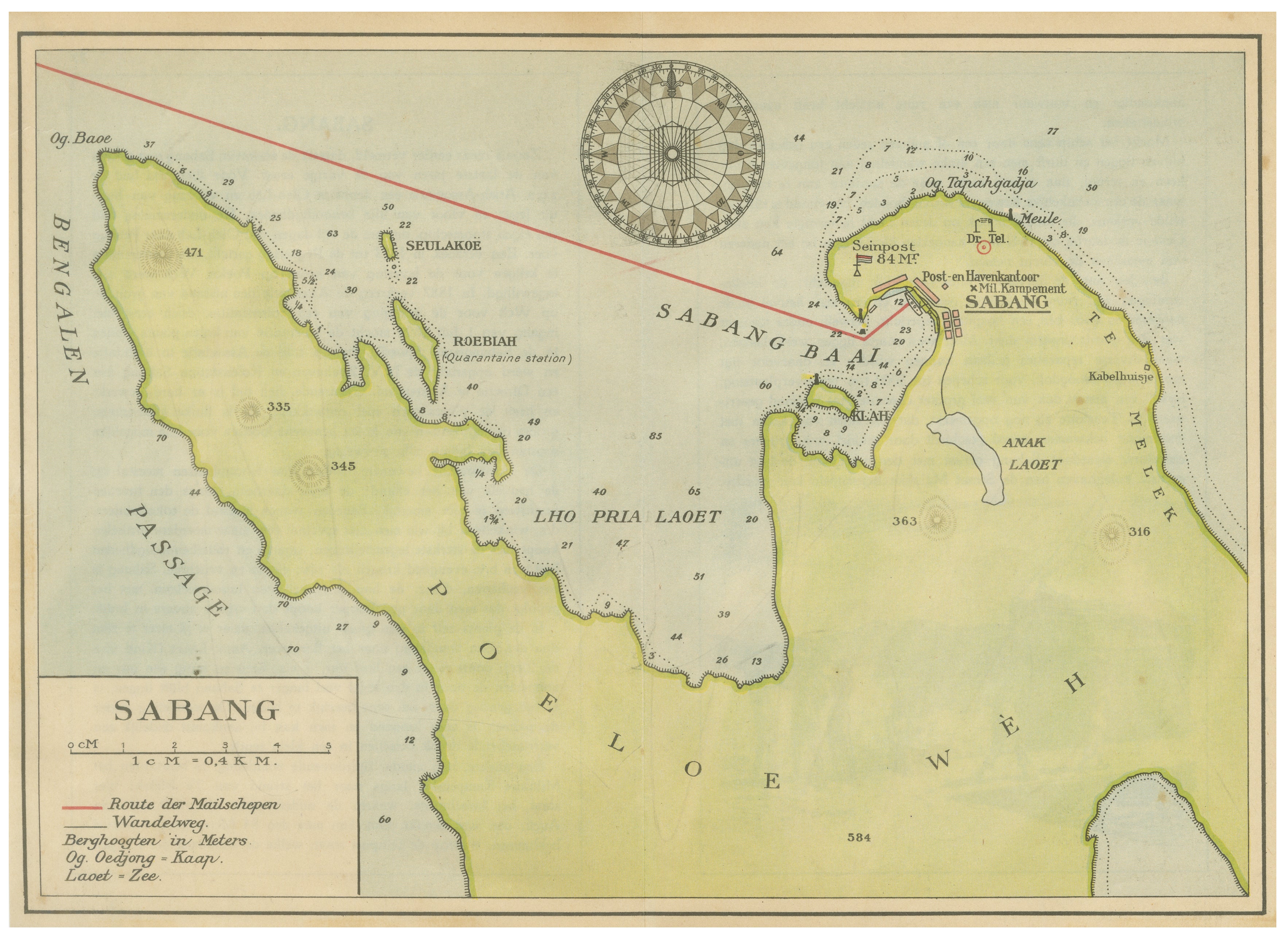
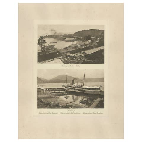
This finely detailed antique Dutch map depicts the island of Poeloe Weh (Pulau Weh) and the strategically important harbor of Sabang, located off the northern tip of Sumatra in present-day Indonesia. Produced during the Dutch colonial period in the Netherlands East Indies, the map reflects the growing maritime and administrative importance of Sabang as a coaling station, naval harbor, and communication hub along the vital shipping routes through the Strait of Malacca.
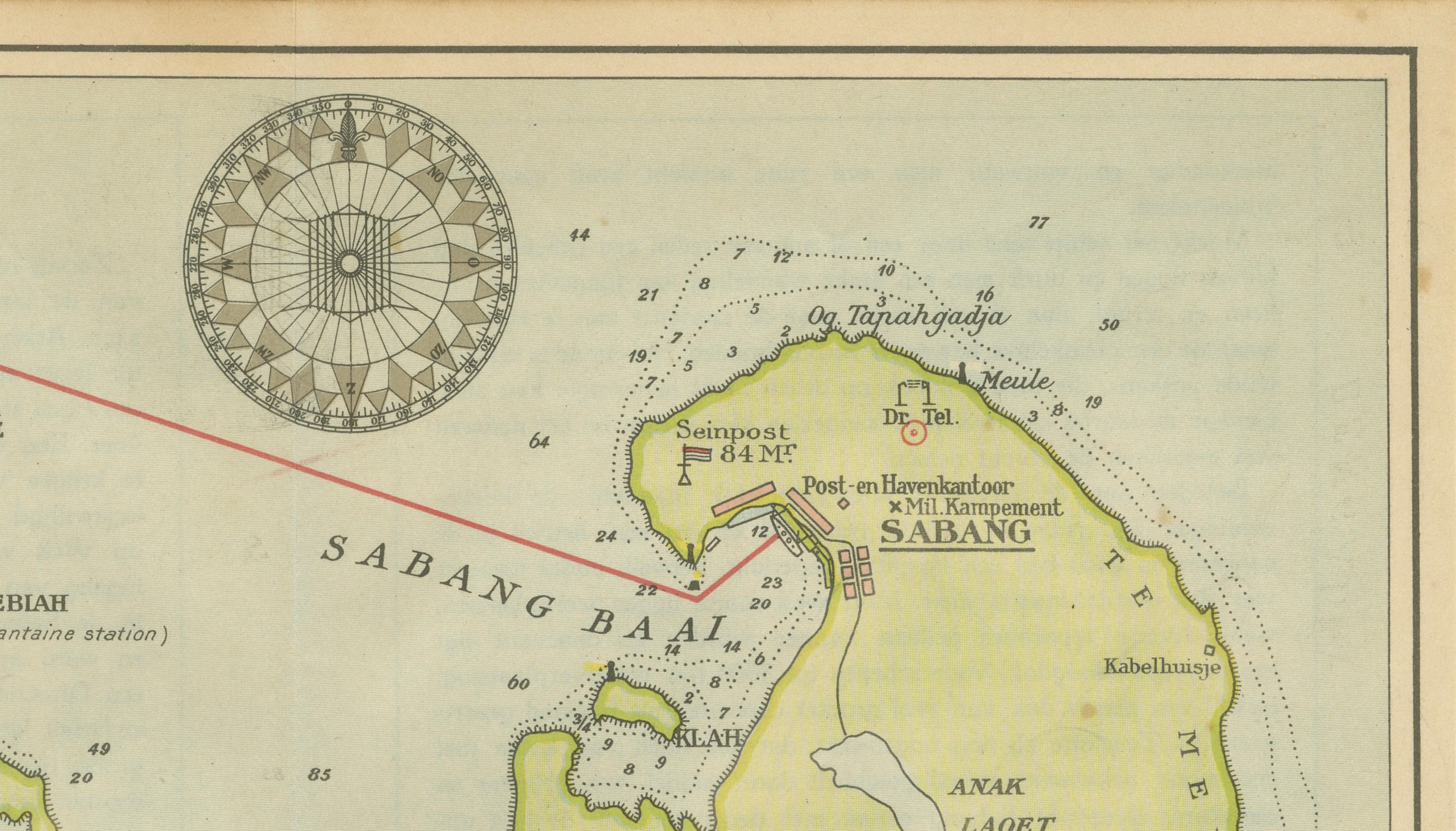
The map centers on Sabang Baai and carefully records harbors, coastal contours, anchorages, roads, and colonial infrastructure. Numerous details are identified, including the quarantine station at Roebiah, postal and harbor offices, signal posts, military encampments, and the “Route der Mailschepen” — the mail ship route linking the Dutch East Indies with international maritime networks.
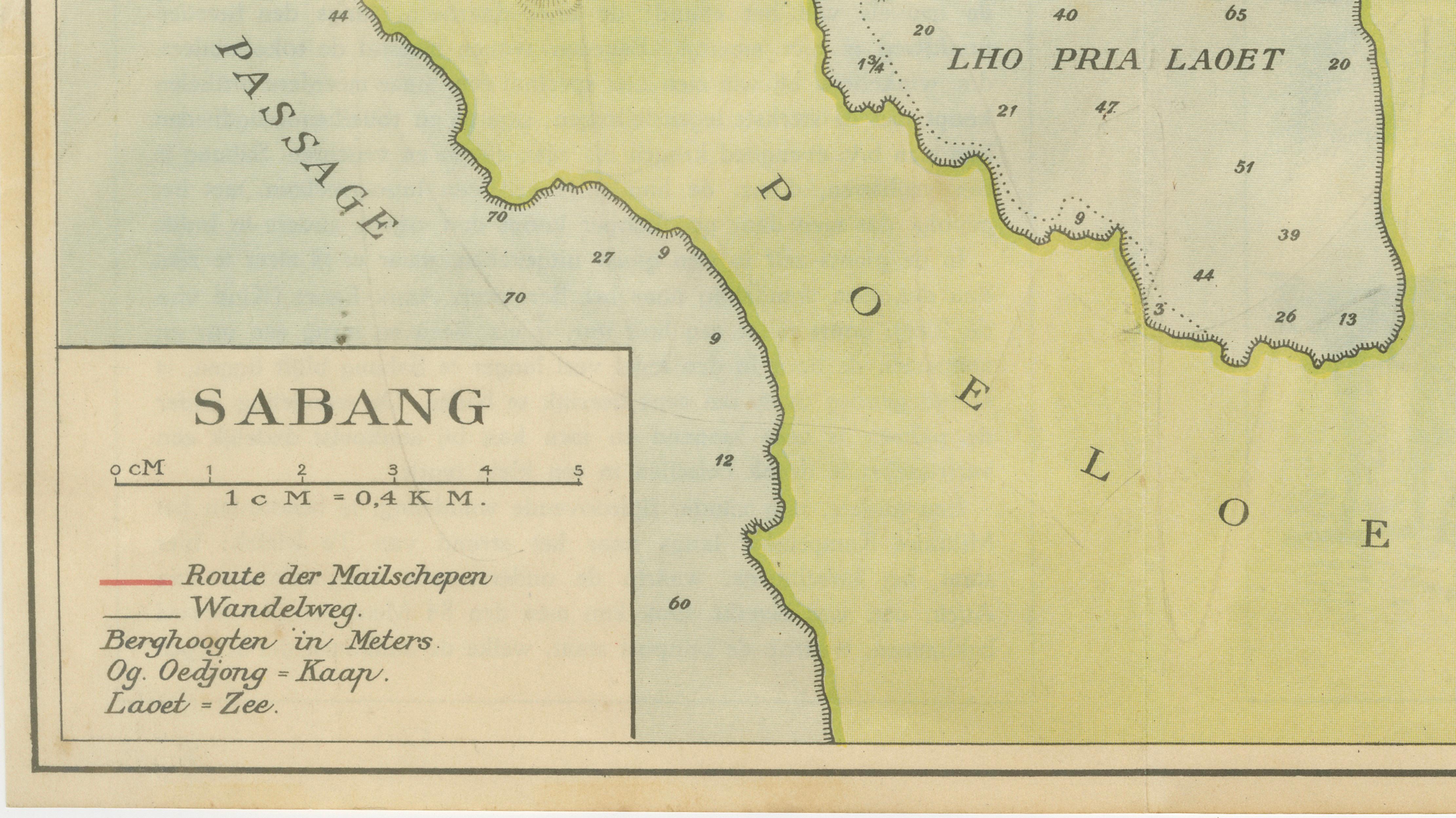
Executed in a clean and elegant Dutch cartographic style, the map combines navigational utility with decorative appeal. Soundings and coastal markings indicate its practical maritime purpose, while the restrained pastel coloring and balanced composition make it highly attractive as a display piece today.
Sabang held exceptional strategic value during the late 19th and early 20th centuries, particularly after the opening of the Suez Canal, when shipping traffic between Europe and Asia increased dramatically. The harbor became one of the Dutch East Indies’ most important coaling and communication stations and played a key role in colonial naval logistics.
The map is especially desirable for collectors of Indonesian colonial history, Southeast Asian cartography, maritime navigation, and Dutch East Indies material. It also holds strong regional appeal for collectors connected to Aceh, Sumatra, and Indonesian maritime heritage.
Special note: This is an original antique map, not a reproduction. All items we offer are authentic period works of art over 100 years old. The map is sold unframed; any framed images are shown for presentation and interior inspiration only and may not always be to scale with the original.
Condition report: Overall in good antique condition with light age-related toning and minor handling wear consistent with colonial-era maps. Fold line as issued. The printed image remains clean and attractive with pleasing original color. Please study the image carefully.
Framing tips: This map displays beautifully in dark walnut, teak, black lacquer, or brass-accented frames paired with warm ivory mats. Its maritime subject and restrained palette make it especially suitable for studies, libraries, coastal interiors, or collections focused on Southeast Asia and colonial navigation.
Technique: Lithographic map with original color
Maker: Dutch colonial cartographic school, Netherlands East Indies, early 20th century