Original Antique Map of the Duchy of Luxembourg by De Wit, Amsterdam circa 1680
€ 1 700
One of a kind: this is the sheet in the photographs. Ships from Langweer, the Netherlands.
Date
1680
Sheet size
52.5 × 60.3 cm (20.7 × 23.7 in)
Condition
Good
Reference
BG-14092-1
Condition
Overall in very good condition with strong hand-coloring. One small tear on a green border from oxidation, otherwise clean with full margins and sharp detail. A fine and rare map of 17th-century Luxembourg.
About this sheet
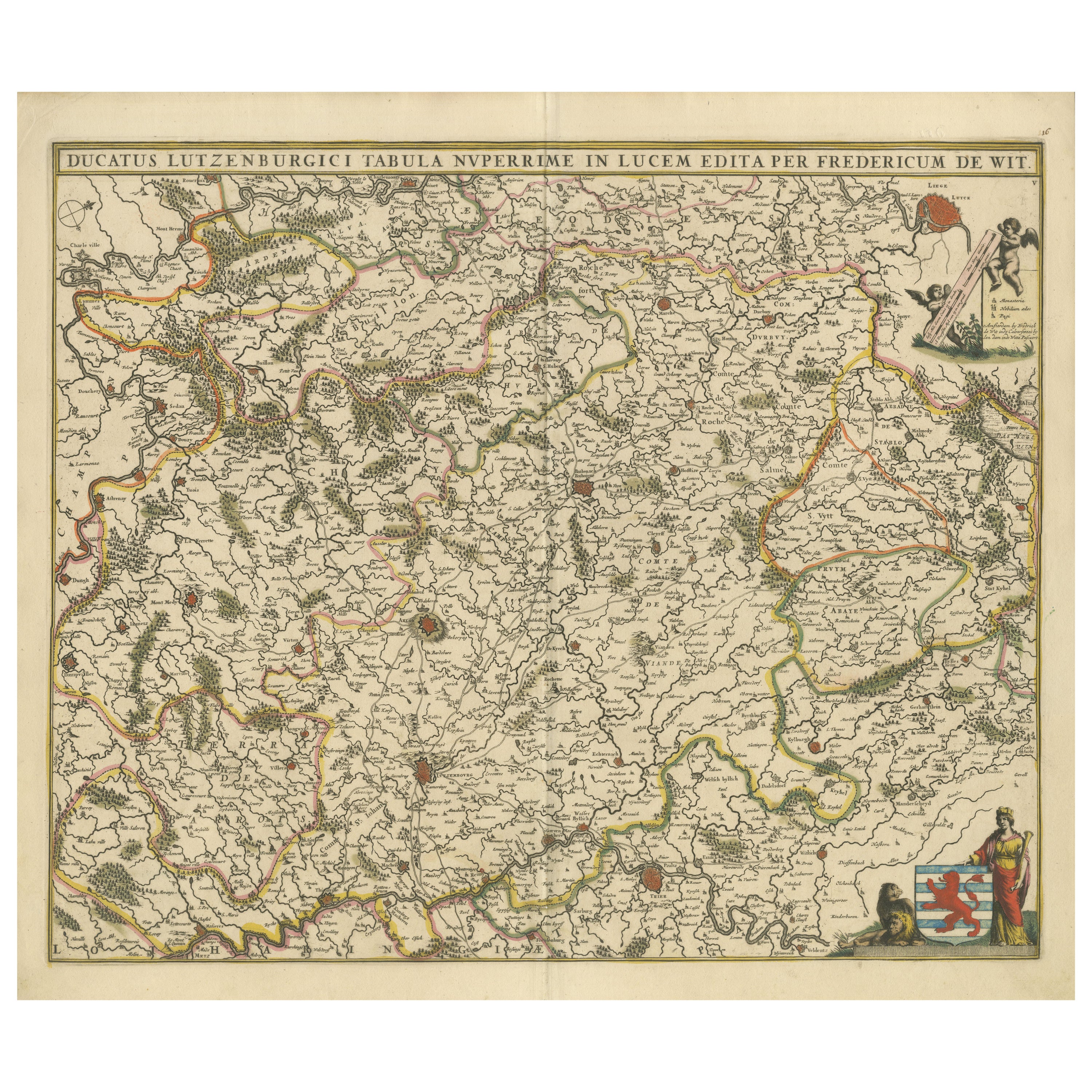
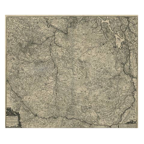
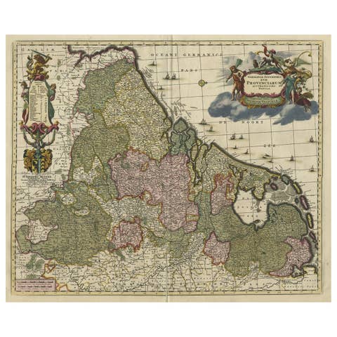
Map of the Duchy of Luxembourg by De Wit, Amsterdam circa 1680
Rare original antique map of the Duchy of Luxembourg by Frederick de Wit, published in Amsterdam circa 1680. A highly decorative 17th-century collectible.
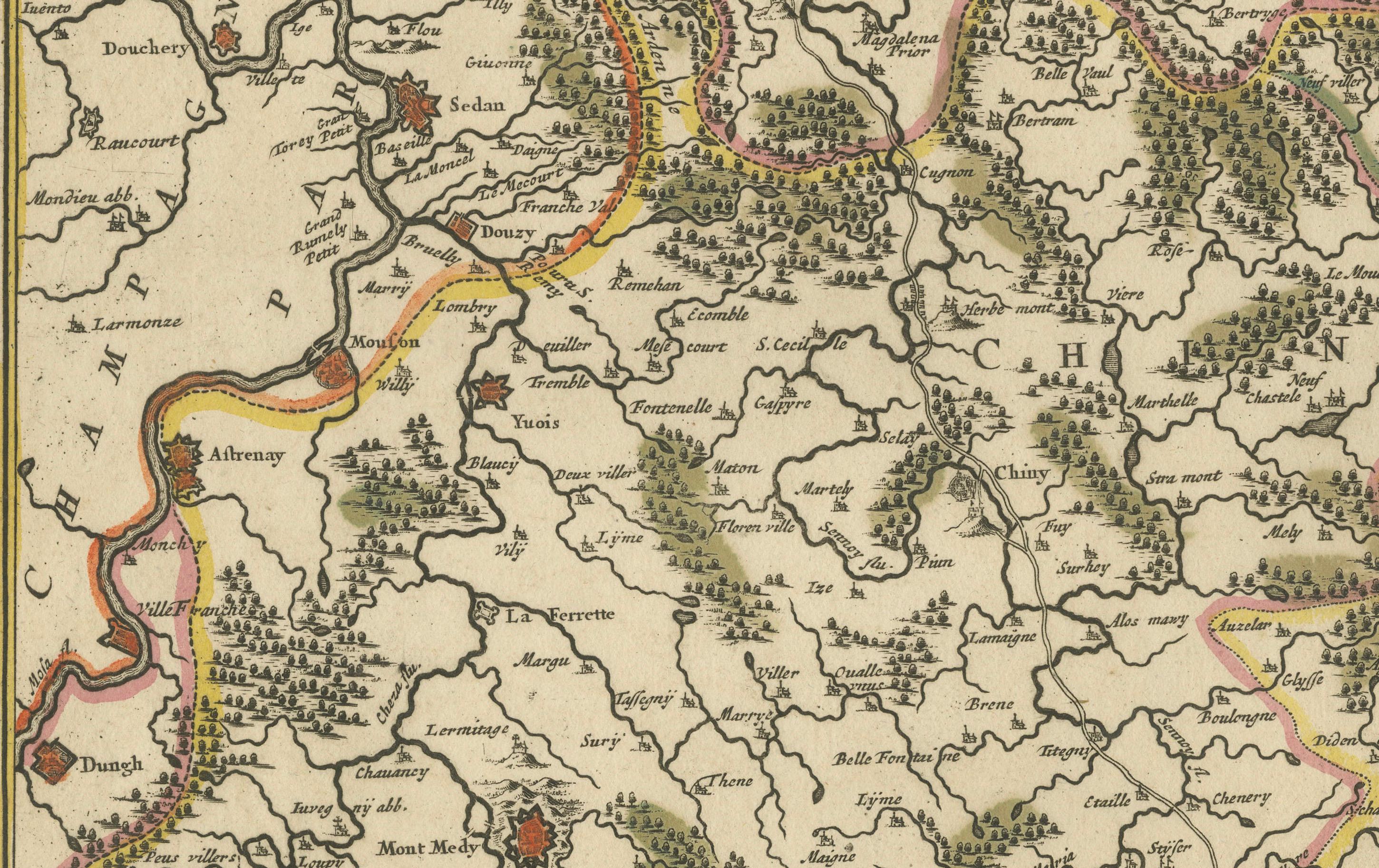
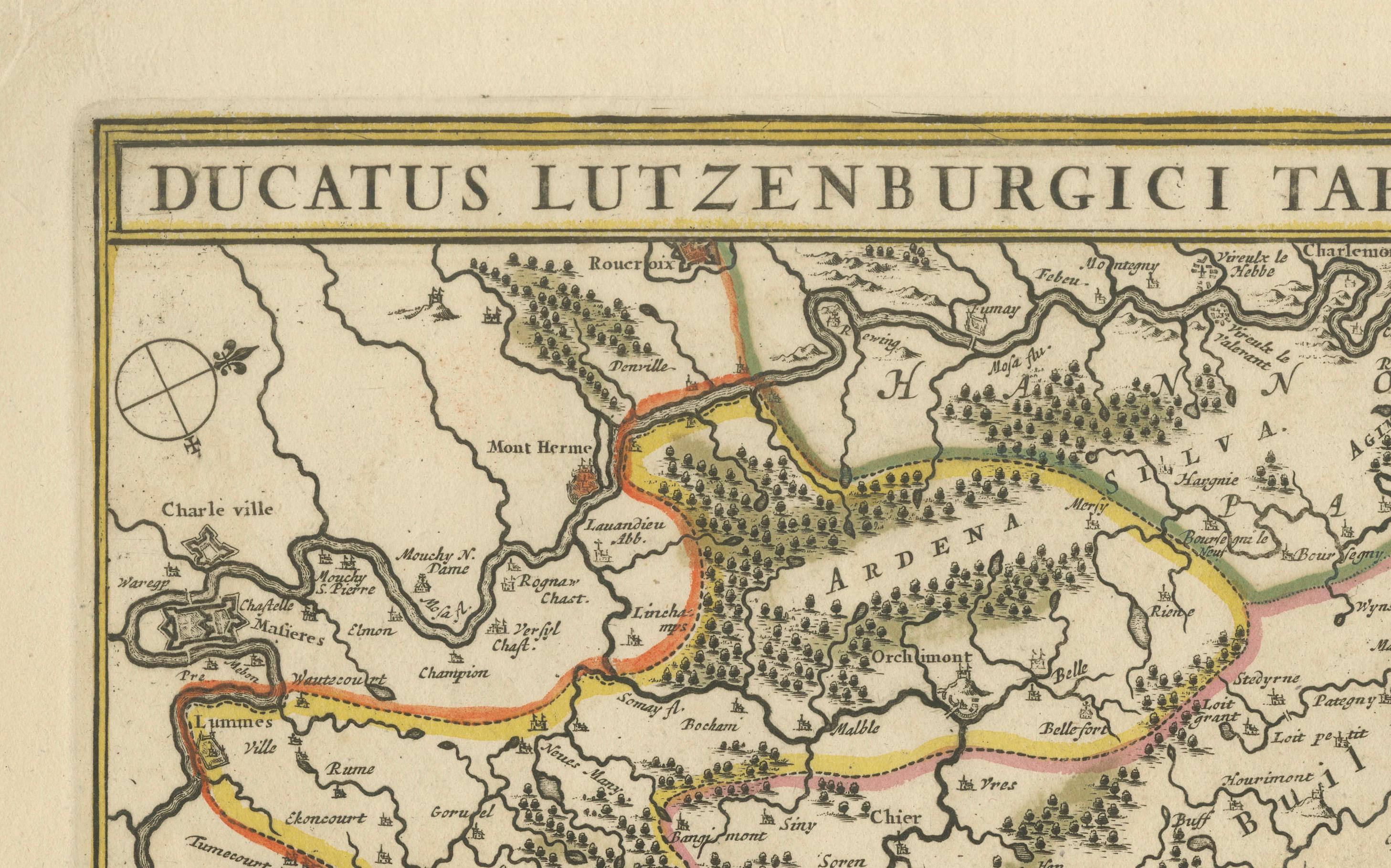
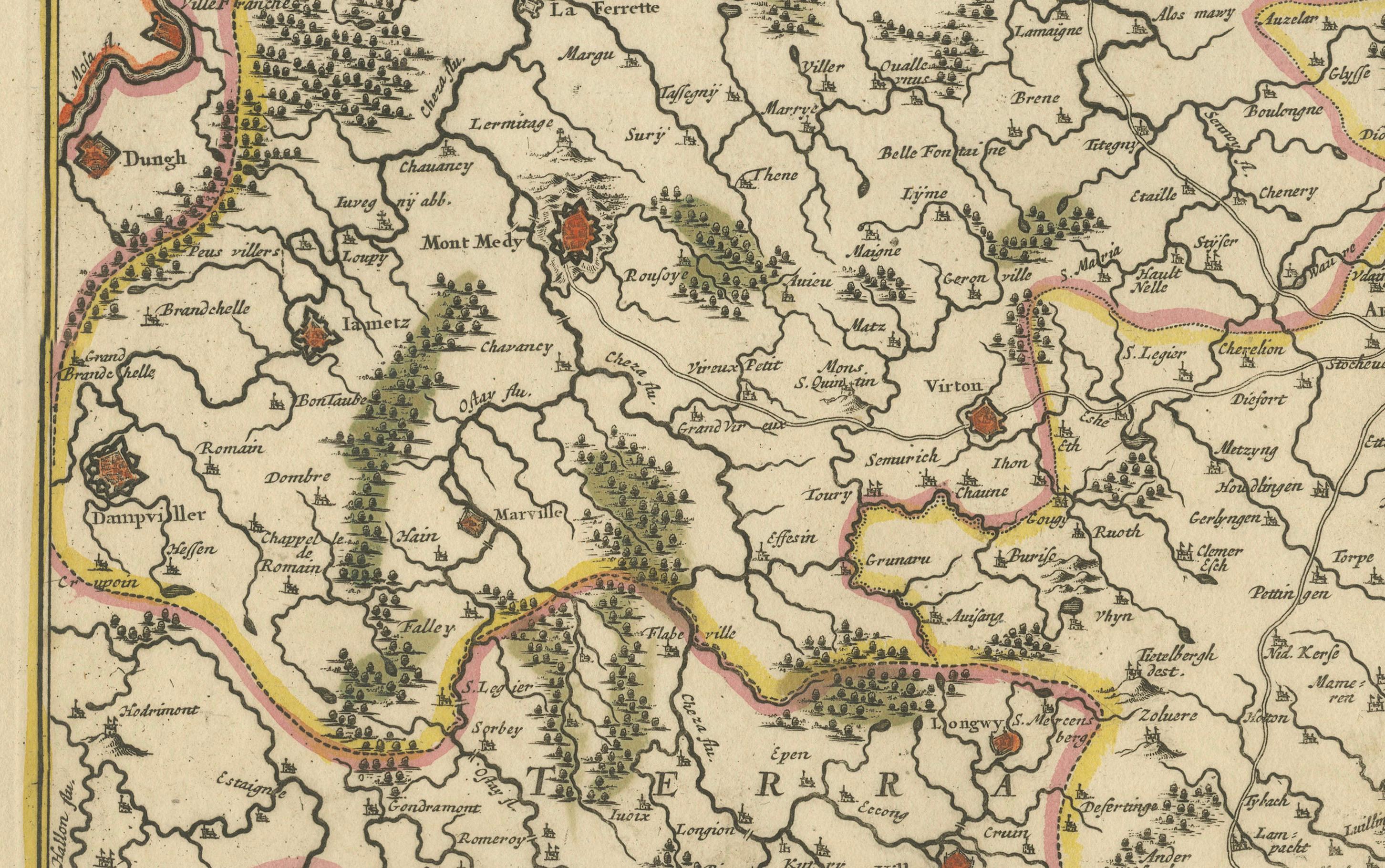
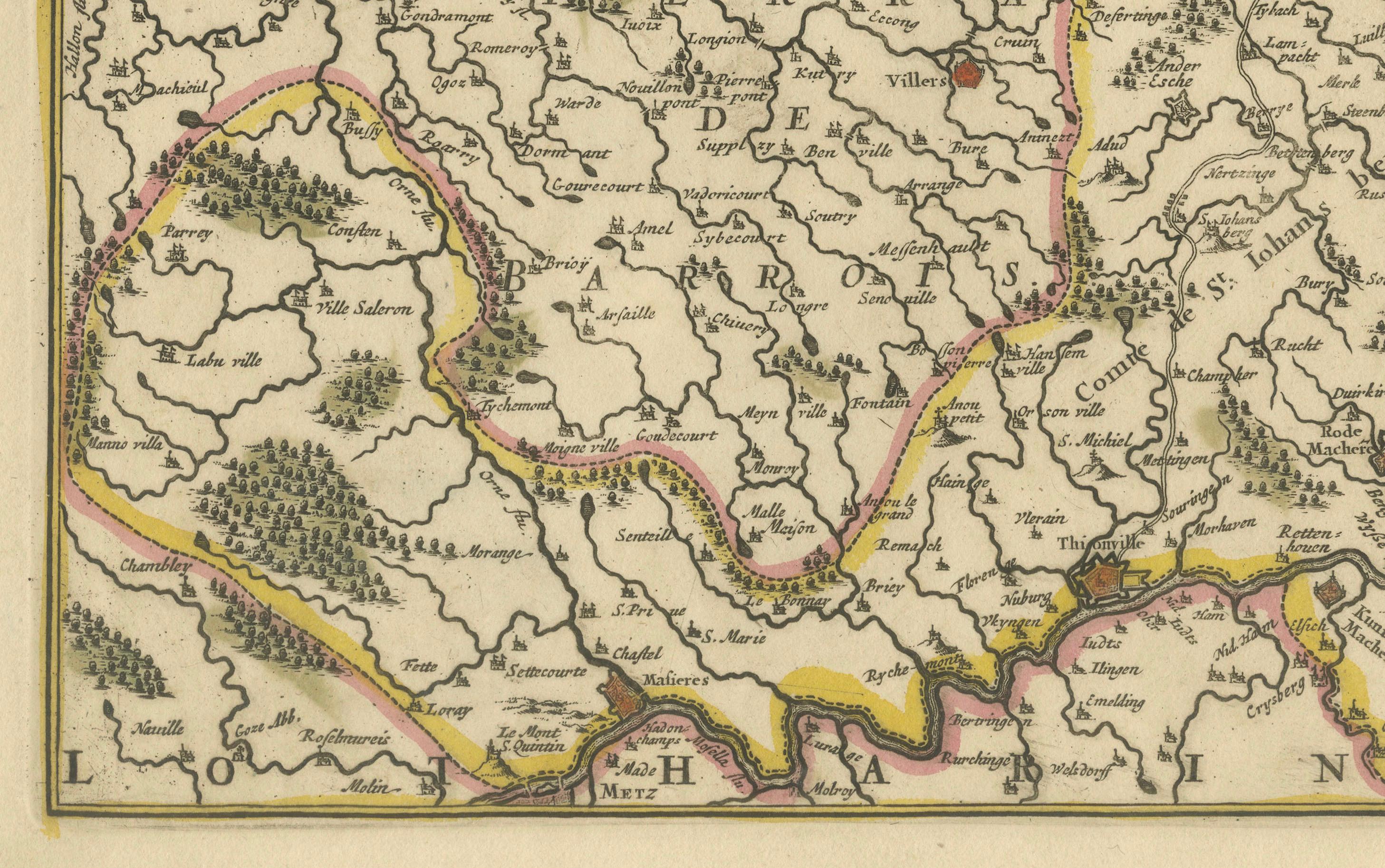
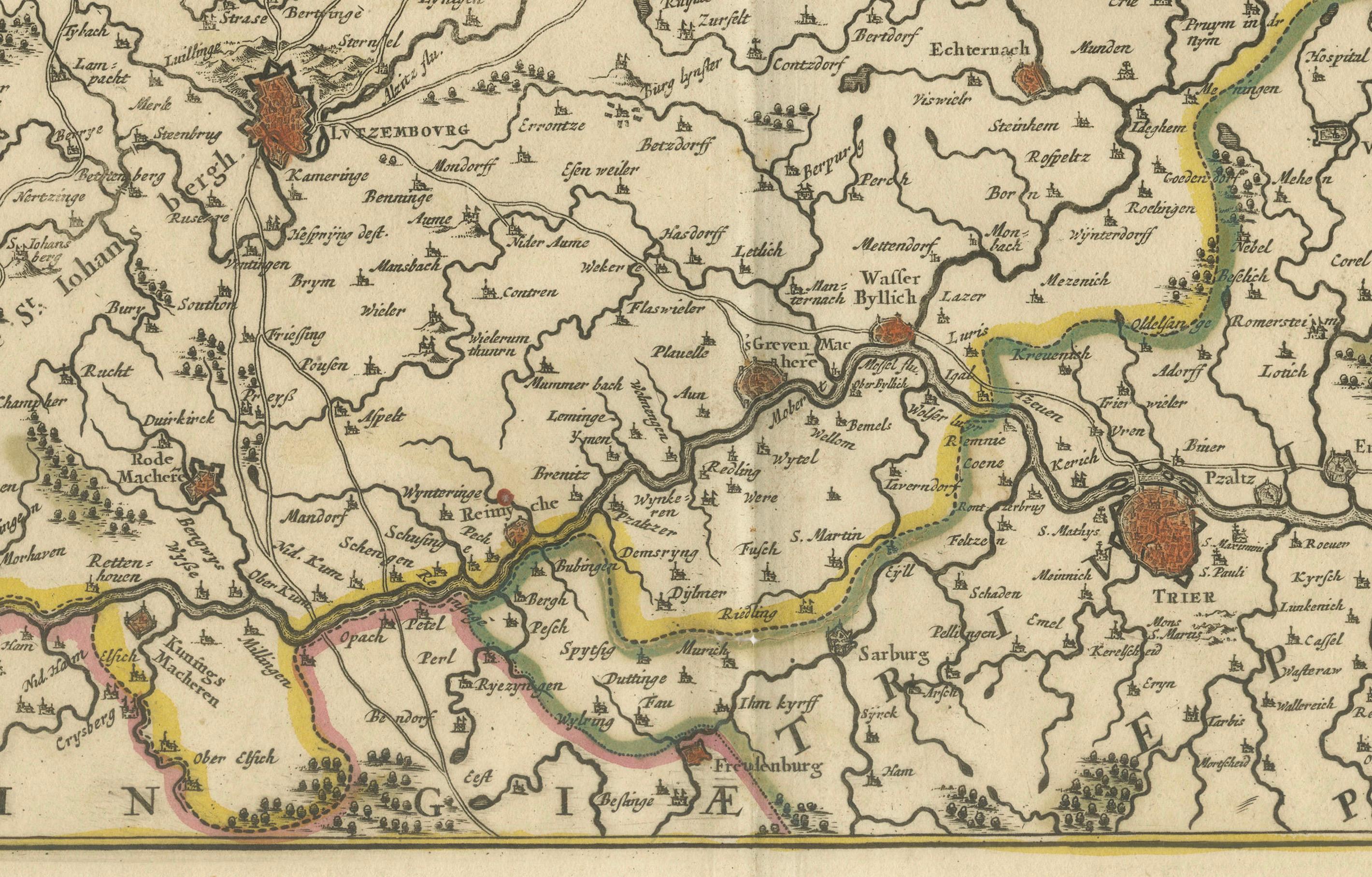
This rare and beautifully engraved map titled Ducatus Lutzenburgici Tabula Nuperrime in Lucem Edita was published around 1680 by the renowned Amsterdam cartographer Frederick de Wit. It offers a detailed representation of the Duchy of Luxembourg and its surrounding regions, capturing the complex political geography of late 17th-century Europe.
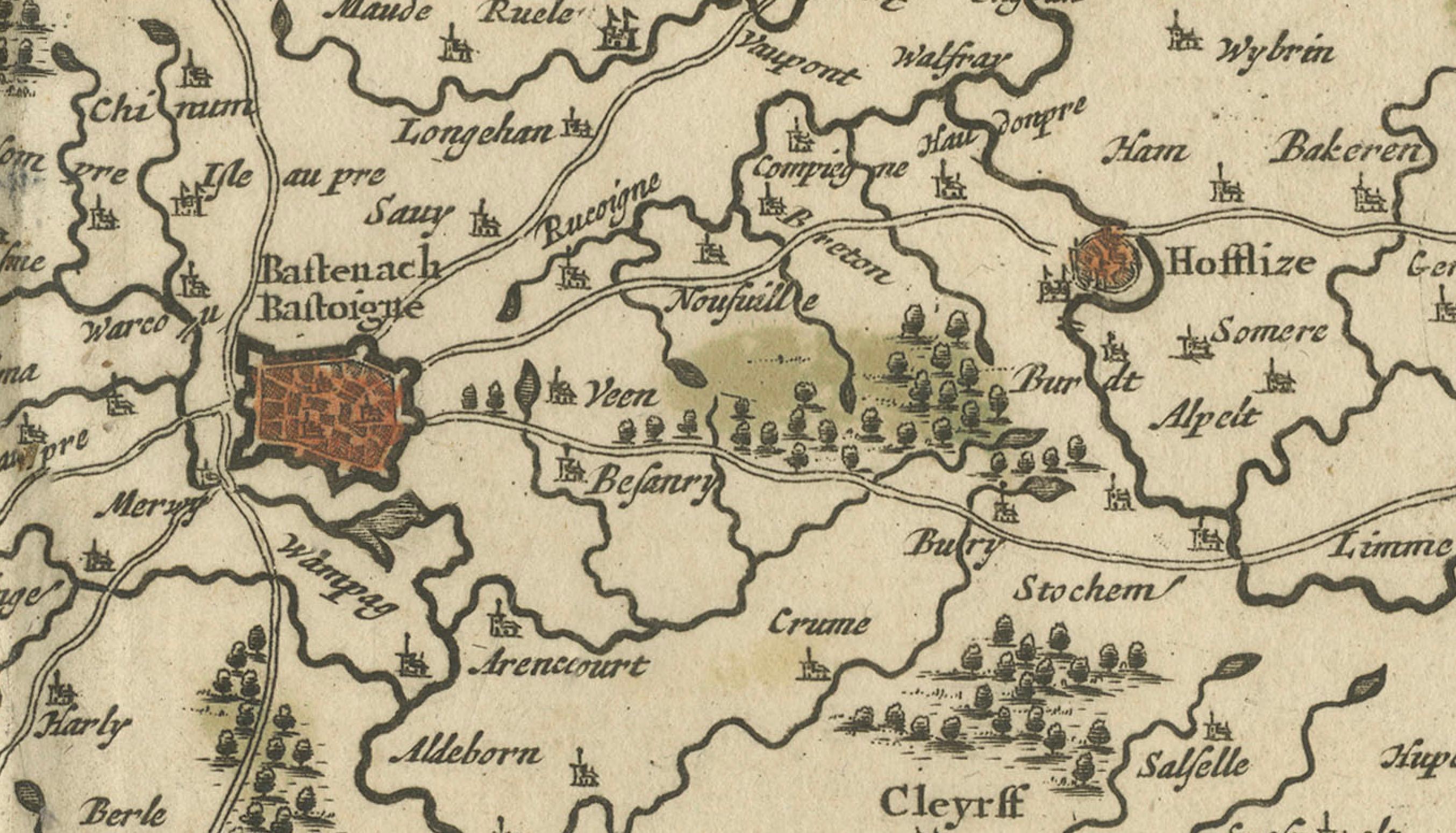
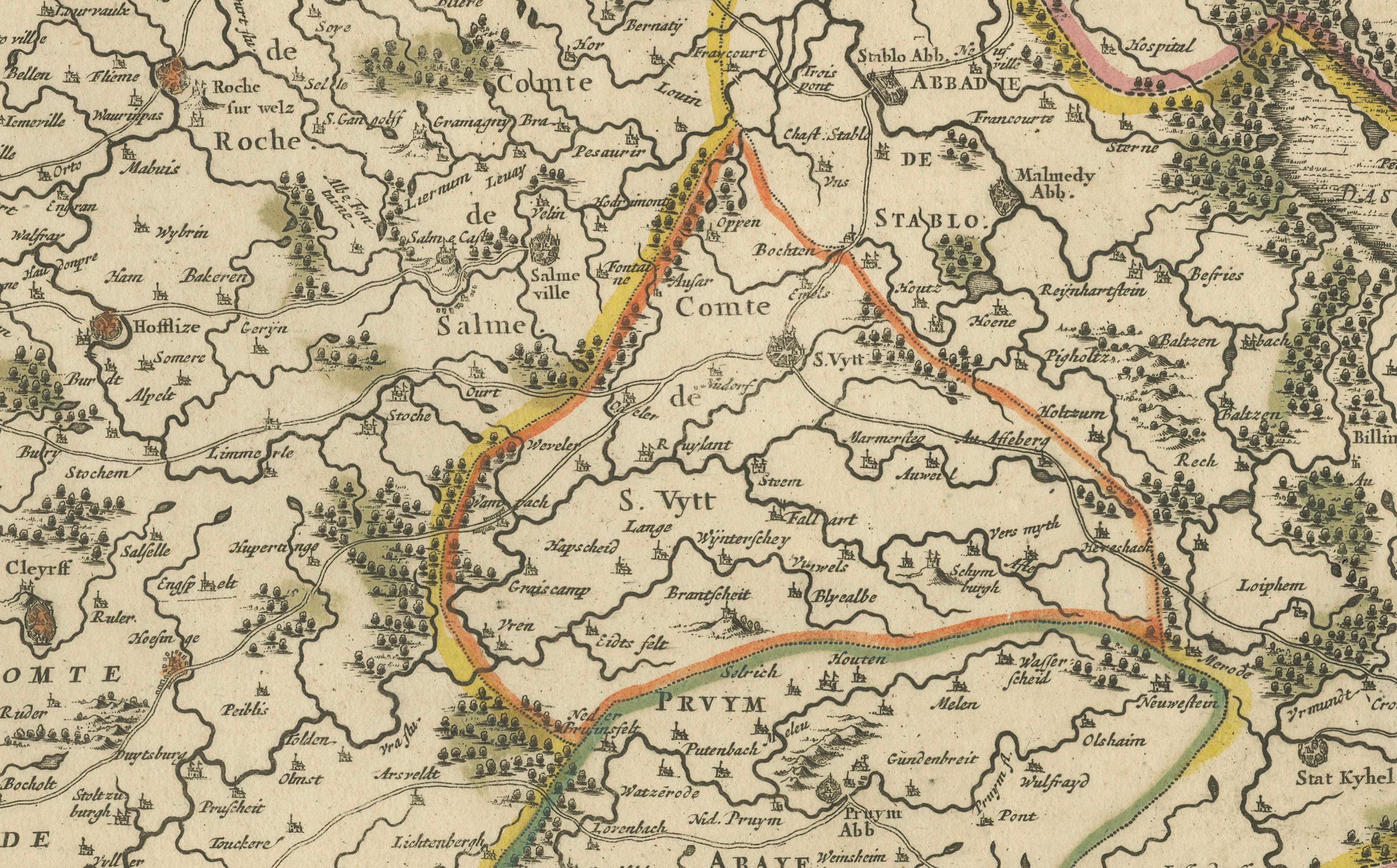
The map is rich in detail, featuring mountains, forests, rivers, and a dense network of towns and villages. Key cities such as Luxembourg, Bastogne, Arlon, and Neufchâteau are marked with red symbols, while delicate hachuring illustrates the region’s varied topography. Hand-colored borders distinguish the different provinces, reflecting territorial divisions under the Holy Roman Empire.
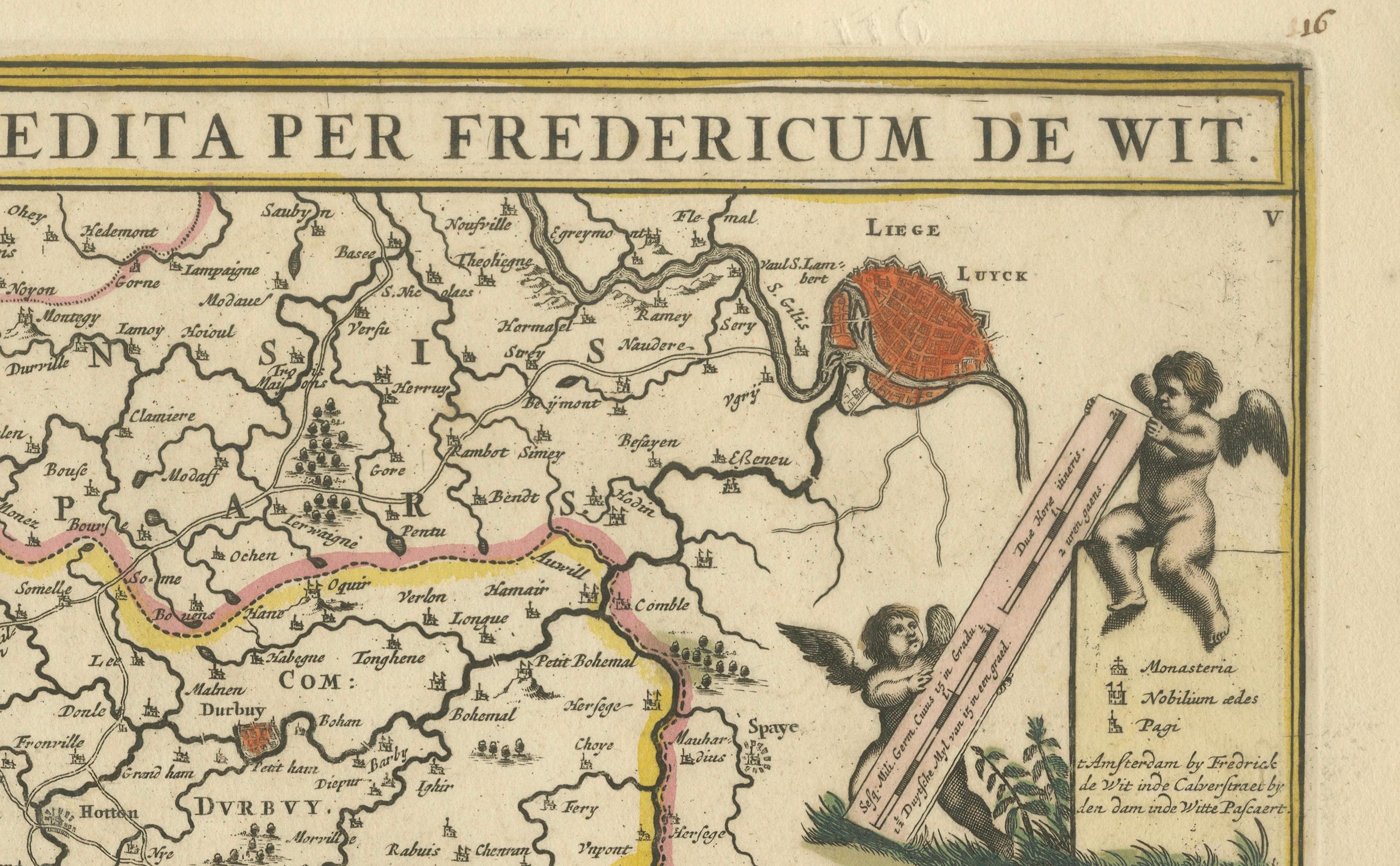
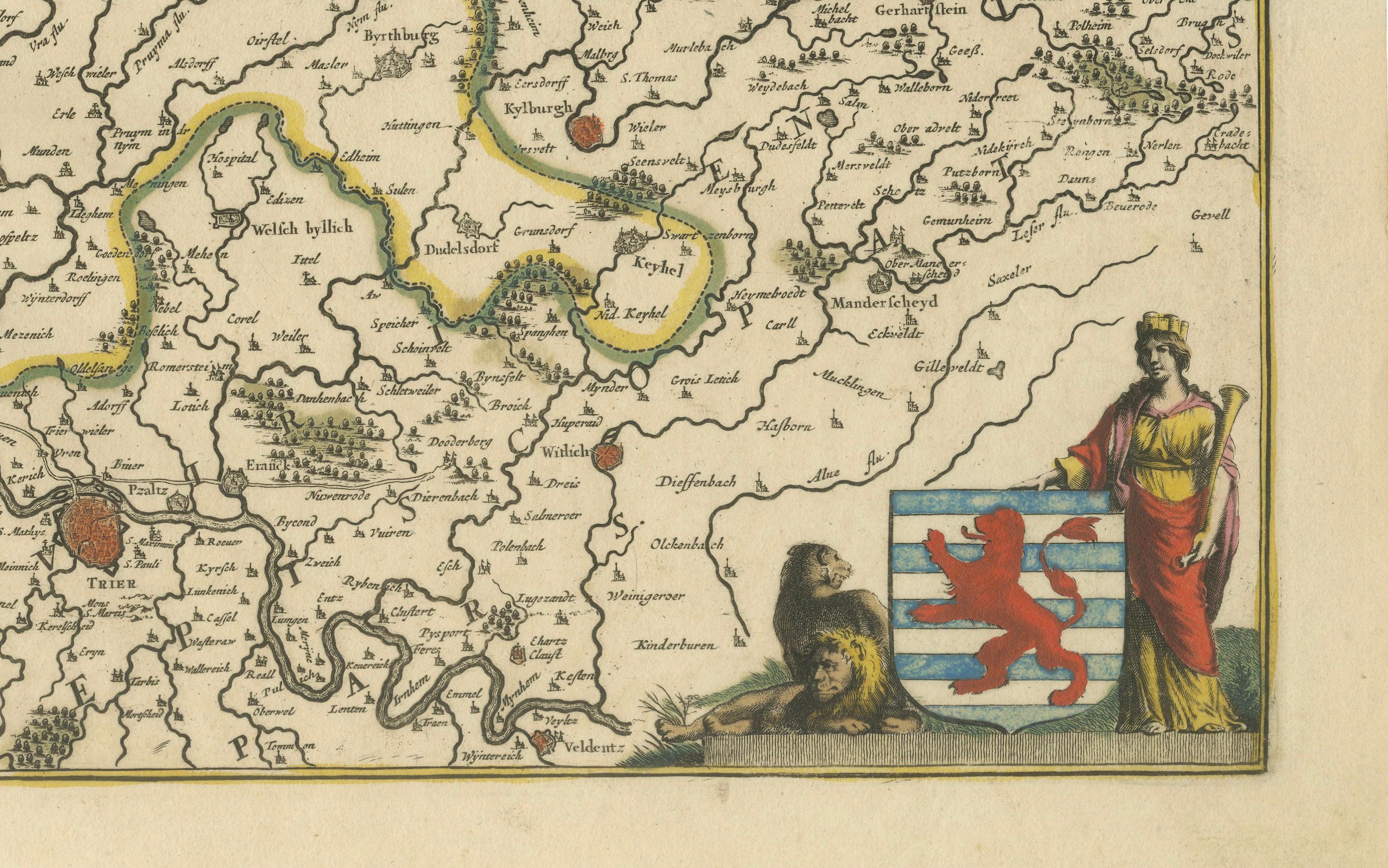
The decorative elements are particularly charming. The upper right features two cherubs holding surveying instruments, symbolizing cartographic science, while the lower right corner shows a female figure representing Luxembourg beside the province’s red lion coat of arms. These vignettes are both decorative and emblematic, enhancing the artistic and historic appeal of the map.
Frederick de Wit (circa 1629–1706) was one of the foremost Dutch map publishers of the Golden Age. His *Atlas sive Descriptio Terrarum Orbis* was a major cartographic work of the late 17th century, and his maps are celebrated for their precision, beauty, and decorative qualities. This map of the Duchy of Luxembourg is a fine example of his craftsmanship and remains a scarce find, particularly in such well-preserved condition.
Condition summary: Overall in very good condition with strong hand-coloring. One small tear on a green border from oxidation, otherwise clean with full margins and sharp detail. A fine and rare map of 17th-century Luxembourg.
Framing tip: Frame with a deep walnut or gold-burnished frame and a soft cream or ivory mat. UV-protective glass is advised to preserve the original colors and delicate engraving. Ideal for classical, historical, or diplomatic interiors.