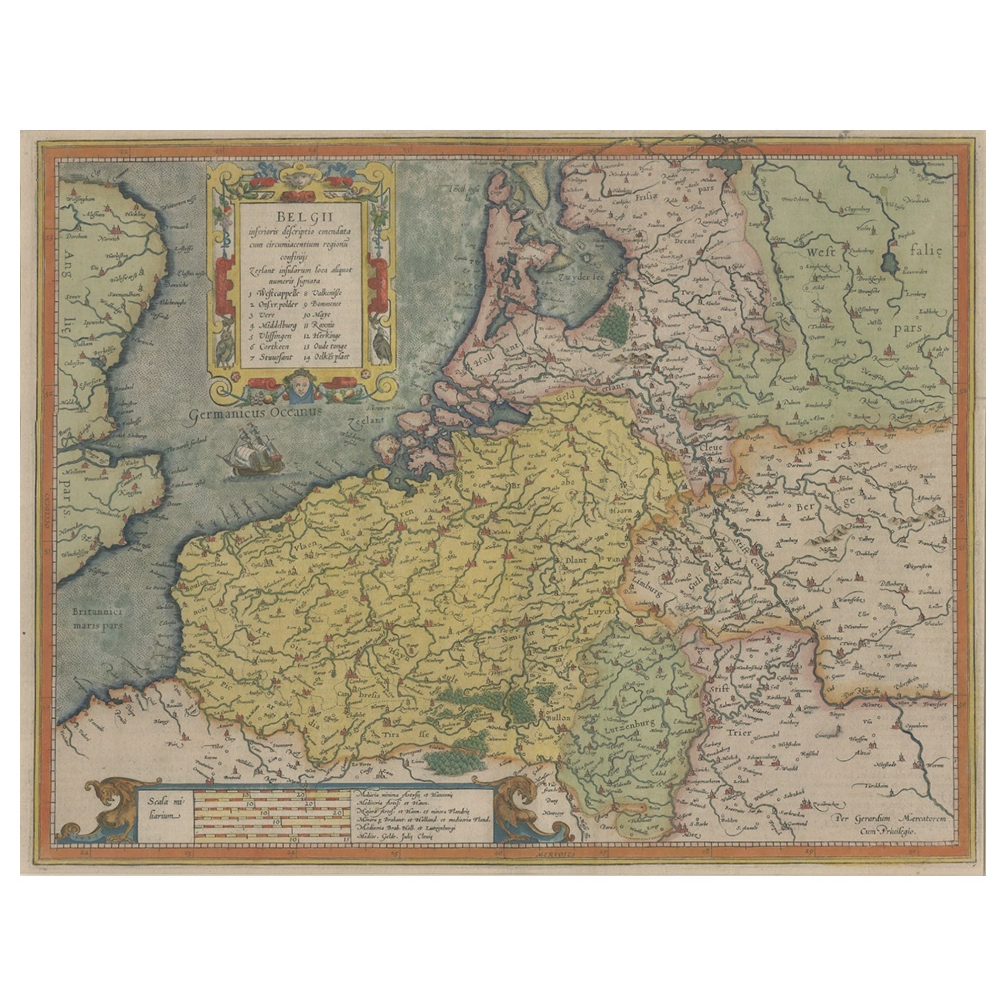
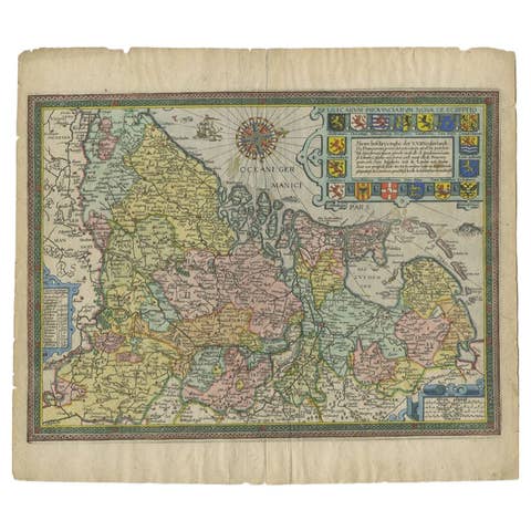
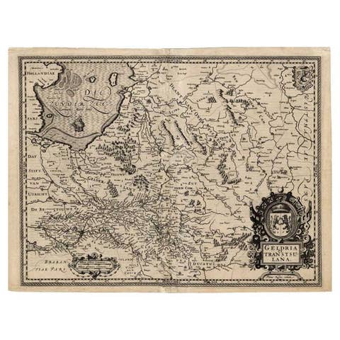
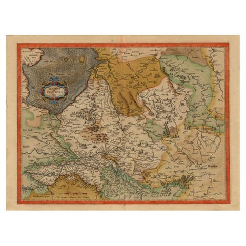
Original Antique Map the Imperial States of the Habsburg Netherlands, 1609
€ 1 250
Original antique · The actual sheet photographed · Certificate of authenticity on request · Sold unframed · Worldwide shipping from € 15 (rates)
Date
1609
Sheet size
51 × 64 cm (20.1 × 25.2 in)
Condition
Good
Reference
BG-12402
What the condition grades mean
Excellent
Bright and clean, with no faults worth mentioning.
Very good
Only light signs of age, such as faint toning.
Good
Normal signs of age for a sheet of this period: toning, some foxing, small marks or neat old repairs.
Fair
Clear faults such as staining, tears or repairs, priced to match.
Every fault we see is written in the condition note, and the whole sheet is shown uncropped in the photos.
Condition
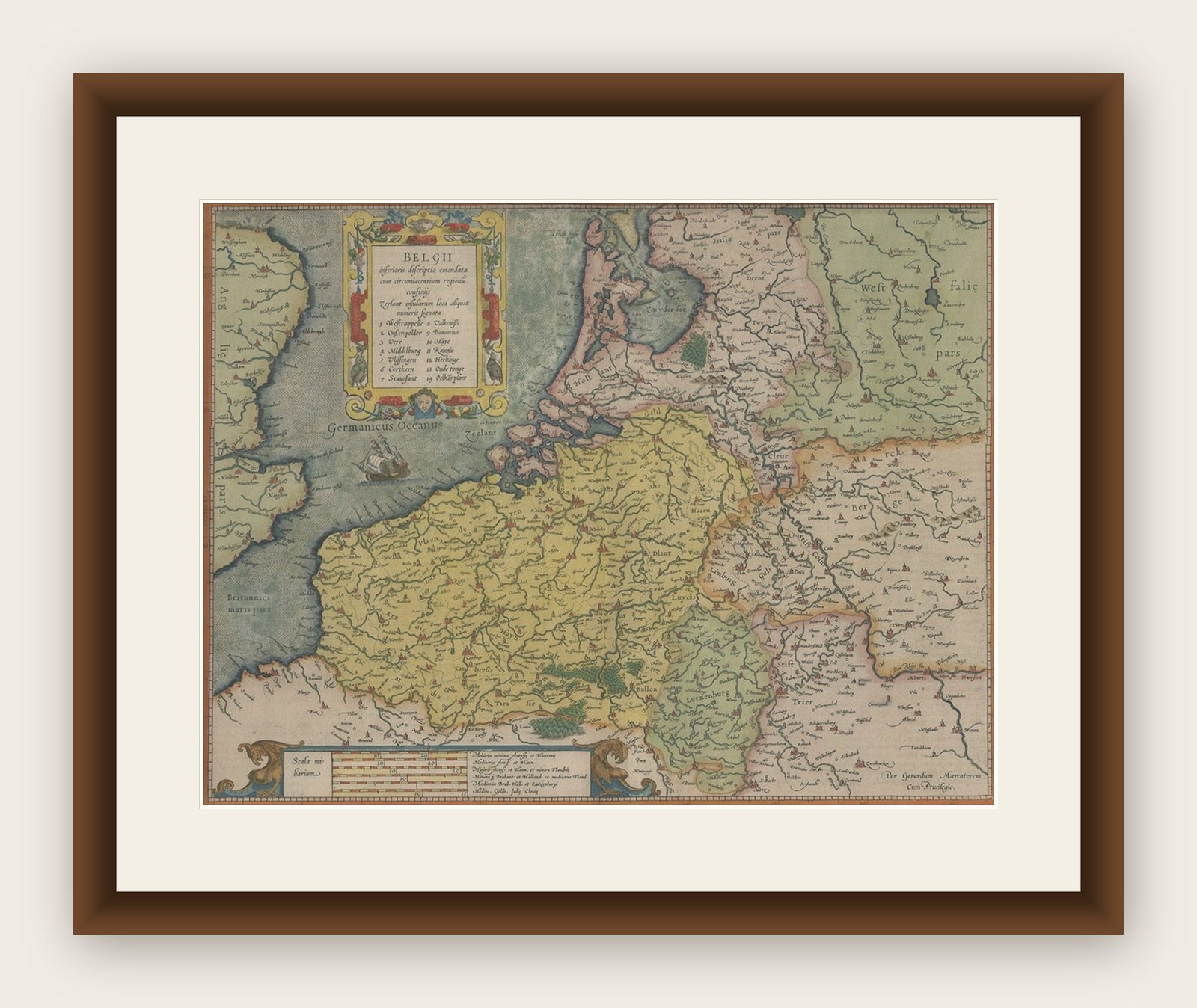
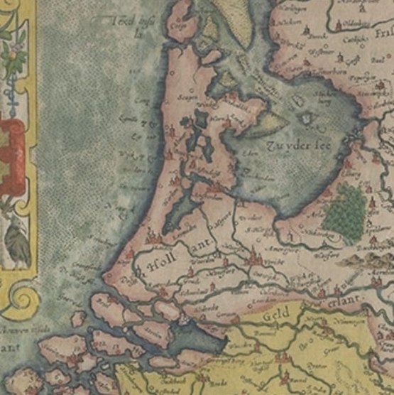
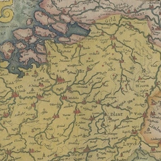
Includes passe partout (minus the backing cardboard). Latin text on verso, faded. Some strengthened/ restored spots, slightly affecting image. Please review the images for further condition details.
Old map of the Seventeen Provinces, the Imperial states of the Habsburg Netherlands in the 16th century. They roughly covered the Low Countries, i.e. what is now the Netherlands, Belgium, Luxembourg, and most of the French departments of Nord (French Flanders and French Hainaut) and Pas-de-Calais (Artois). Originates from the Mercator-Hondius atlas, second state, with the coast of Friesland and Groningen, cut off in Mercator's editions, completed by Jodocus Hondius, extending it across the border.
Artists and Engravers: Gerard Mercator (Kremer) was born in Rupelmonde in Flanders and studied in Louvain. He made his first map in 1537 and became a cartographer and globe maker. In 1552 he moved to Duisburg, Germany where he published his famous 18-sheet world map in 1569 with his own new projection, today called Mercator projection. Later he decided to publish a new edition of Ptolemy's Geographia. Followed by his major work, a 3 volume collection of maps to which the word "Atlas" was applied the first time. The first volume was published 1585, followed by the second in 1589 and the third one after his death in 1595 by his son Rumold. A second edition of all three parts was published 1602. In 1604 Jodocus Hondius acquired the plates and published several editions together with his sons Jodocus II and Henricus until 1633. More editions followed until 1666 by Janssonius who was in partnership with Henricus. Some of the plated where also used in W.J. Blaeu in 1630.