Original 1947 Map of Brazil by Charles Burki – Dutch Colonial Graphic Design
€ 620
Original antique · The actual sheet photographed · Certificate of authenticity on request · Sold unframed · Worldwide shipping from € 15 (rates)
Date
1947
Sheet size
31.5 × 22.5 cm (12.4 × 8.9 in)
Condition
Good
Reference
BG-Bea34
What the condition grades mean
Excellent
Bright and clean, with no faults worth mentioning.
Very good
Only light signs of age, such as faint toning.
Good
Normal signs of age for a sheet of this period: toning, some foxing, small marks or neat old repairs.
Fair
Clear faults such as staining, tears or repairs, priced to match.
Every fault we see is written in the condition note, and the whole sheet is shown uncropped in the photos.
Condition
Condition report: Very good condition with minor toning consistent with age, small traces of mounting tape on margins, and light handling marks. The printed surface remains crisp, with rich blacks and clean lines.
About this sheet
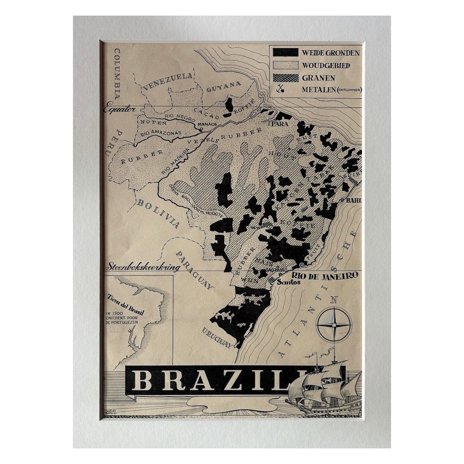
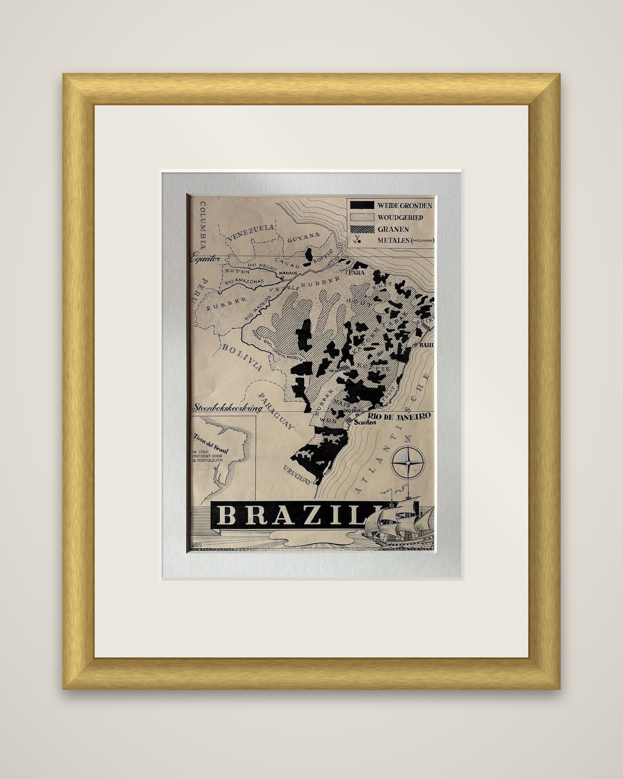
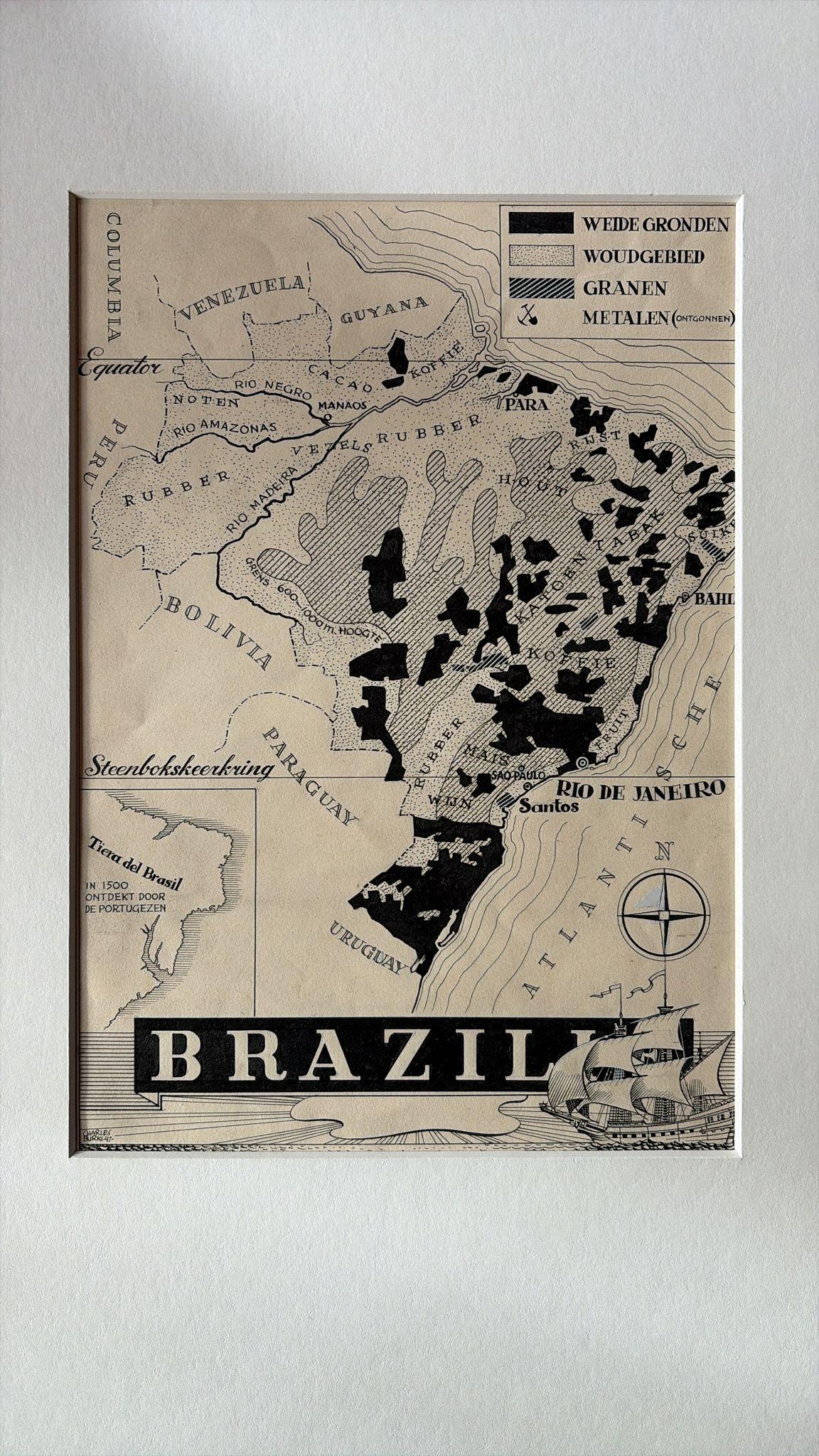
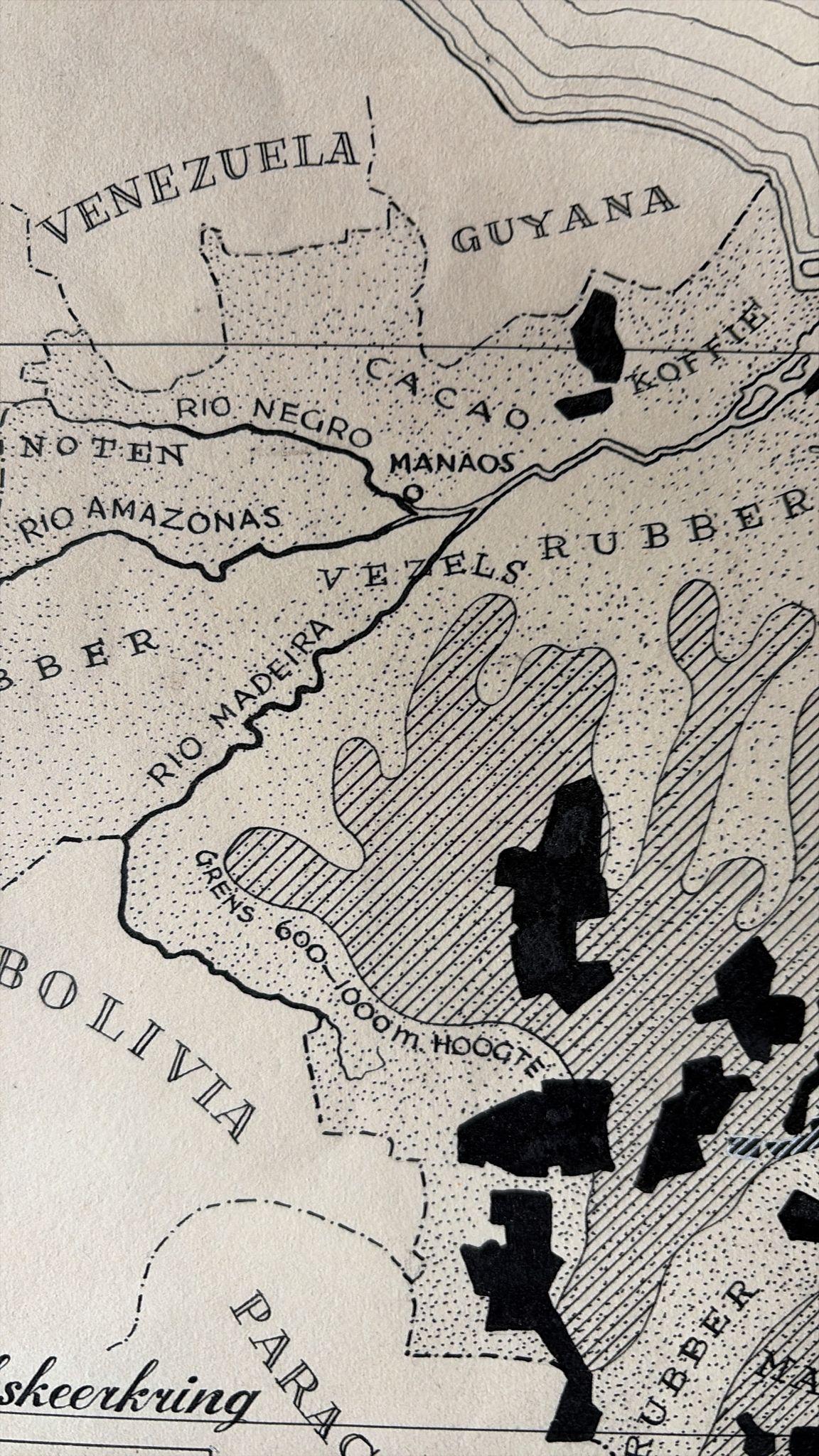
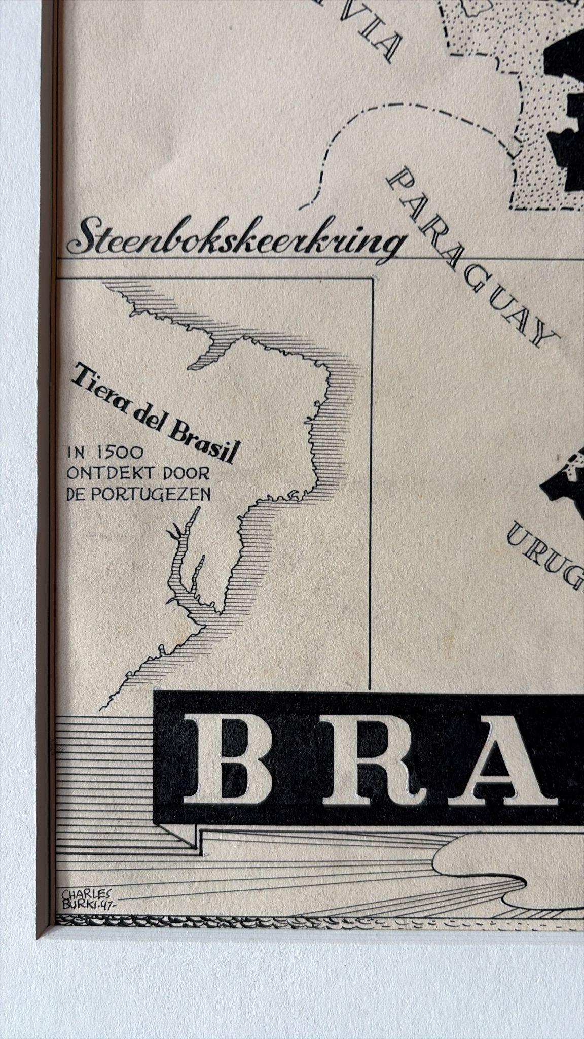
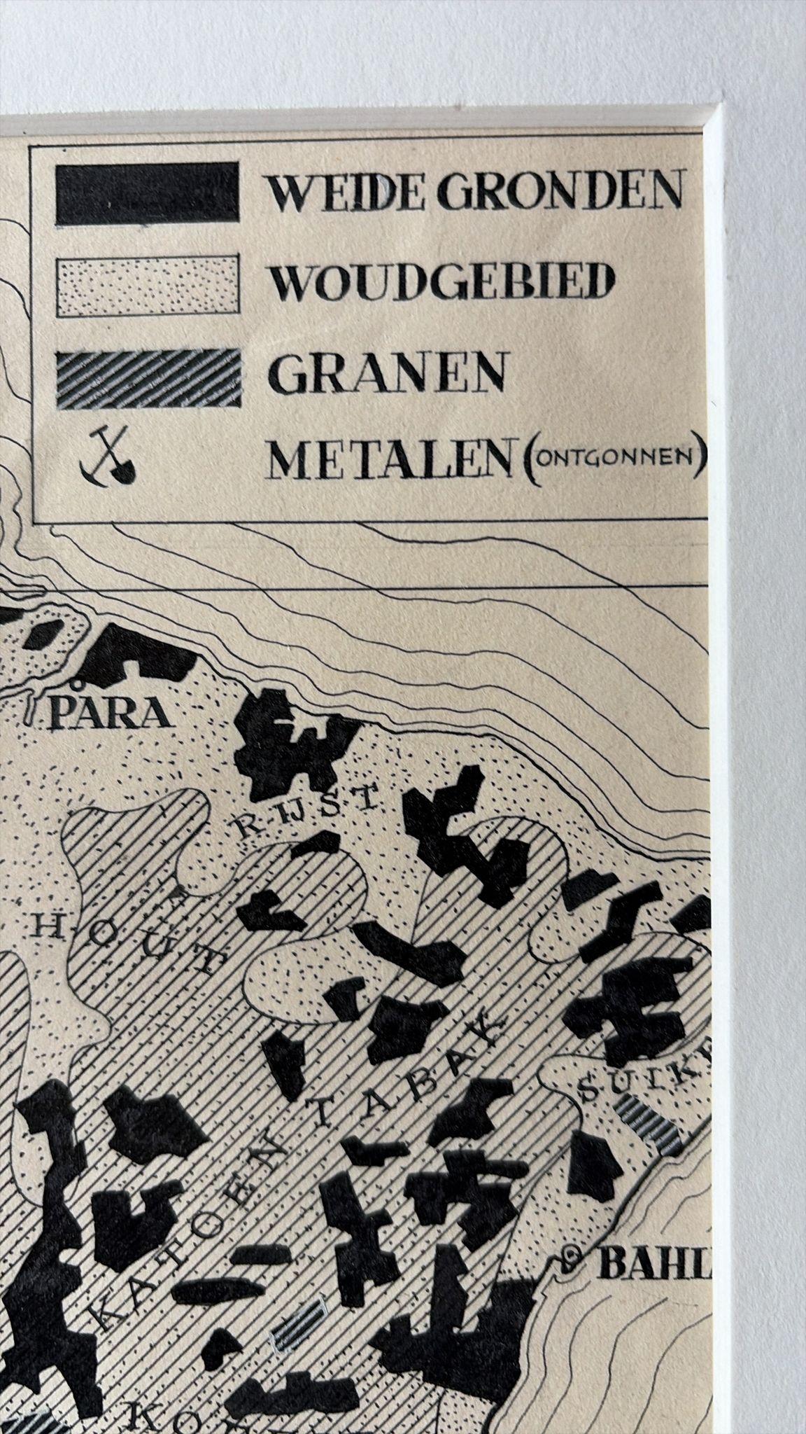
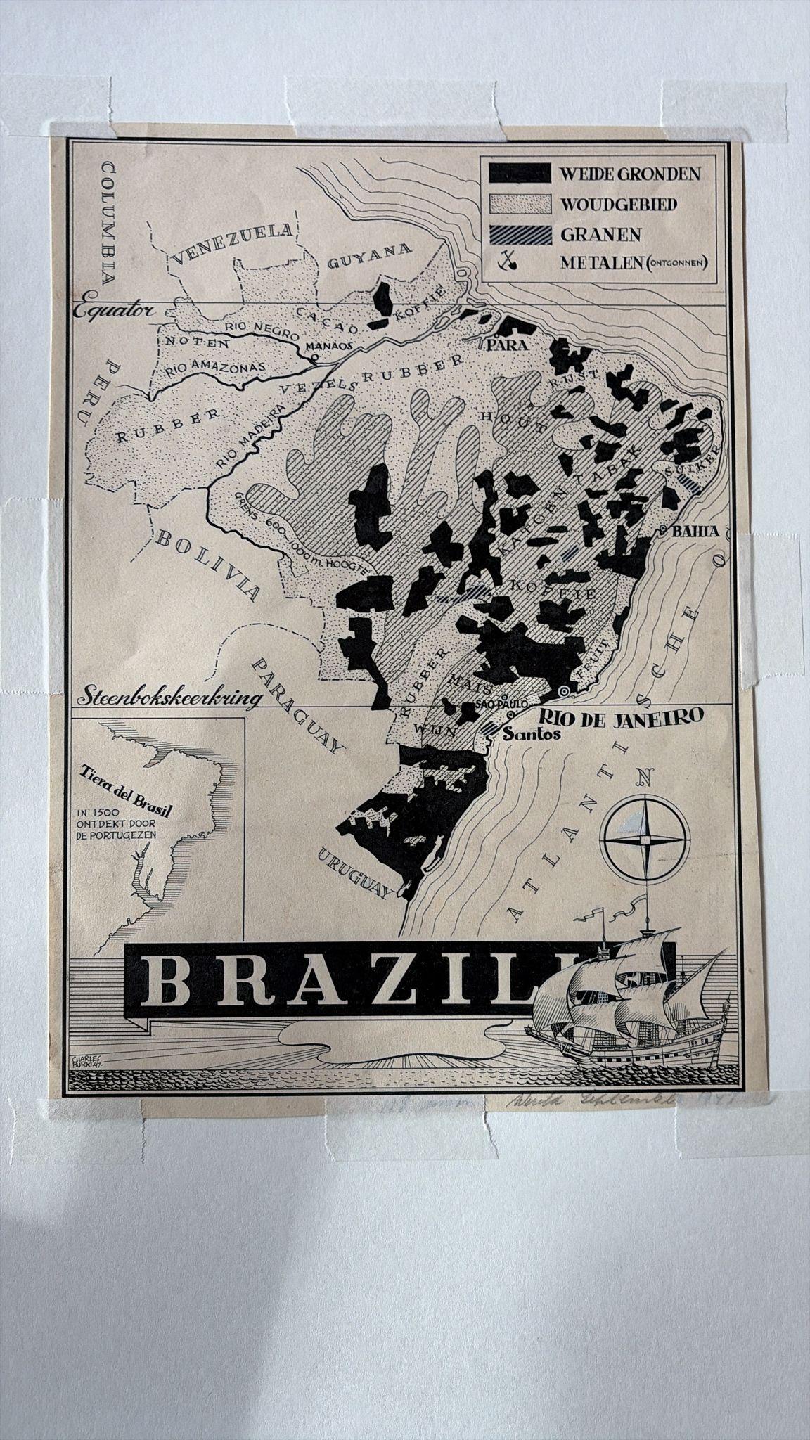
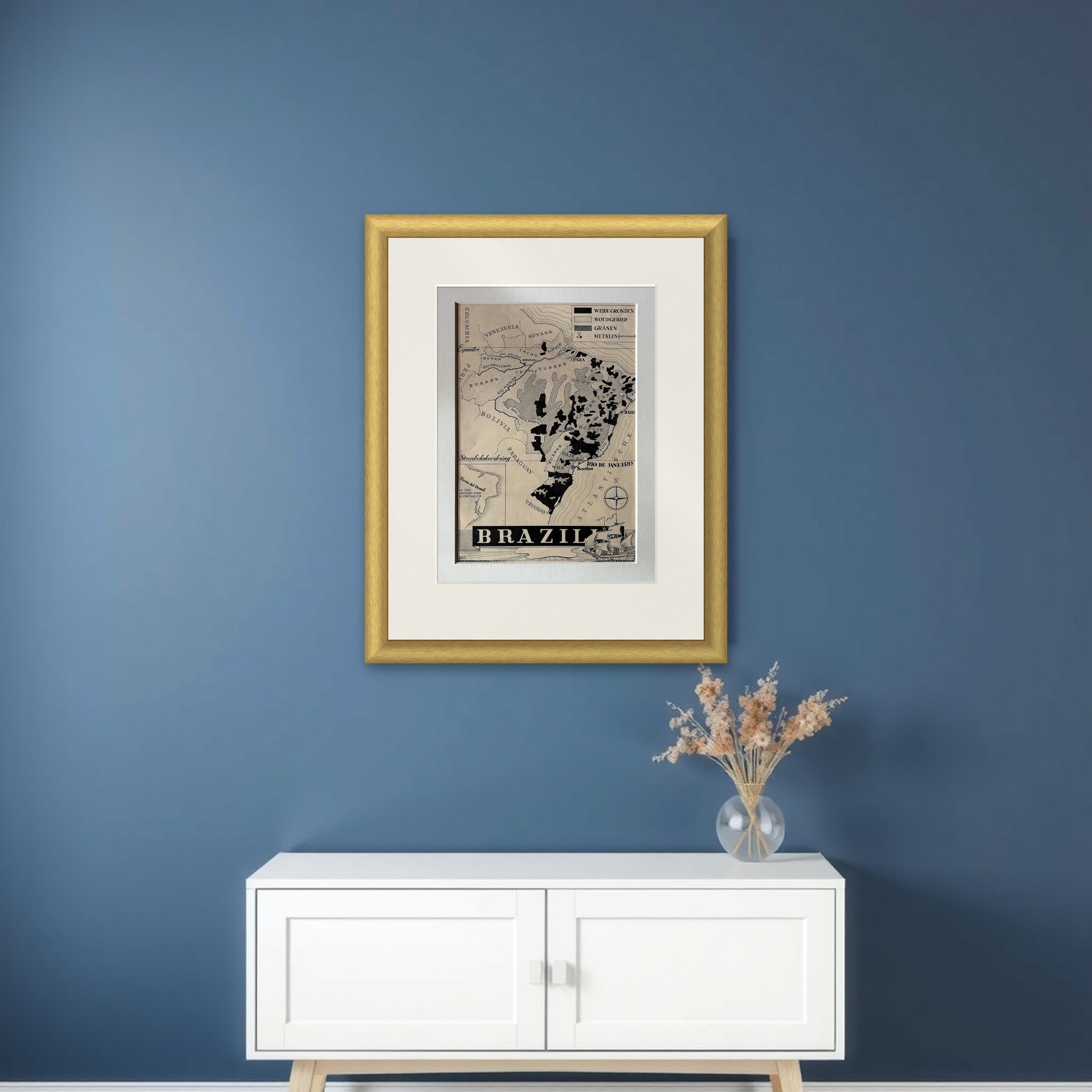
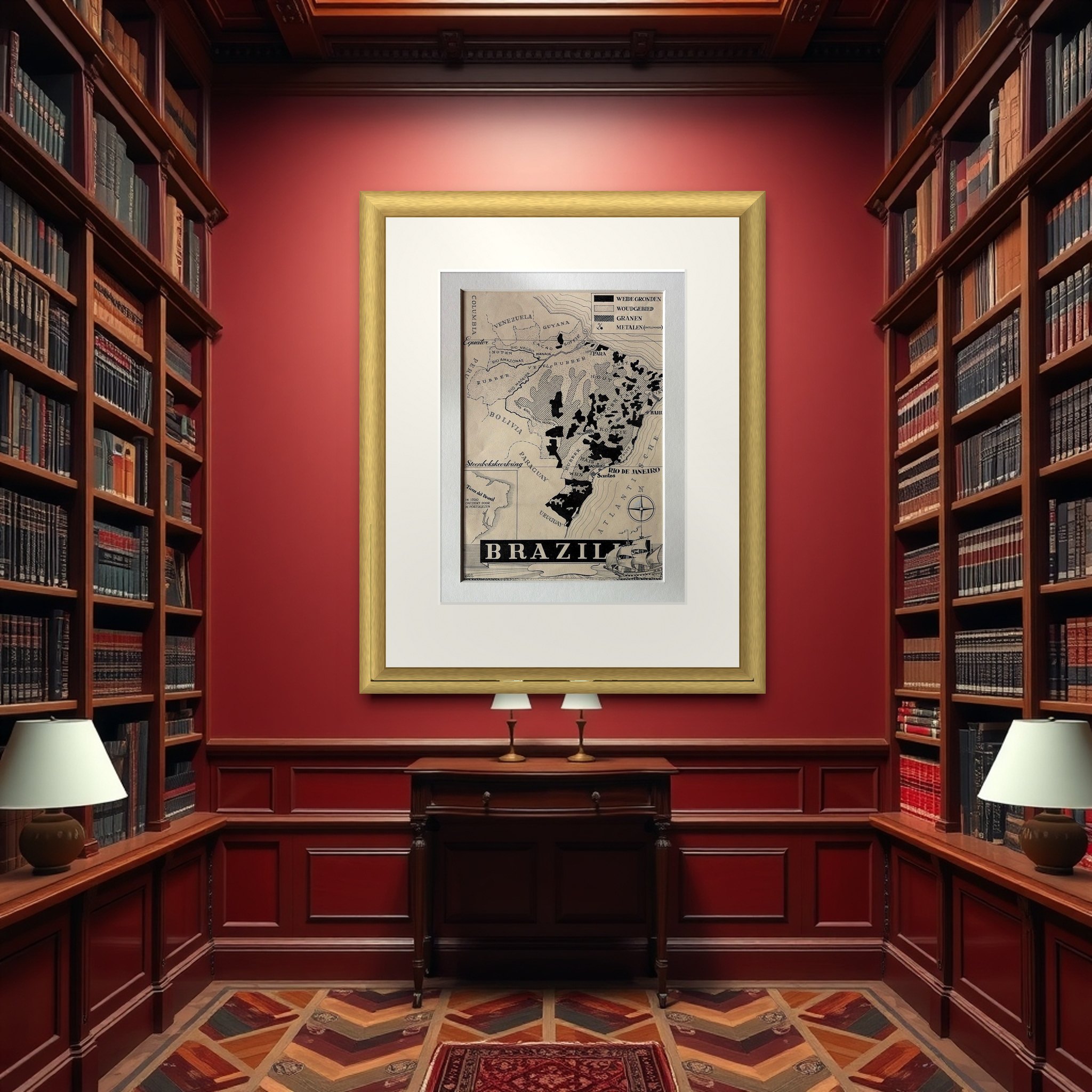
Brazil as an original pen-and-ink map by the Dutch artist Charles Burki (1909-1994), signed and dated 1947, drawn in black ink on cream paper. The lettering is mostly Dutch, and the sheet was made as finished artwork for an educational or commercial publication.
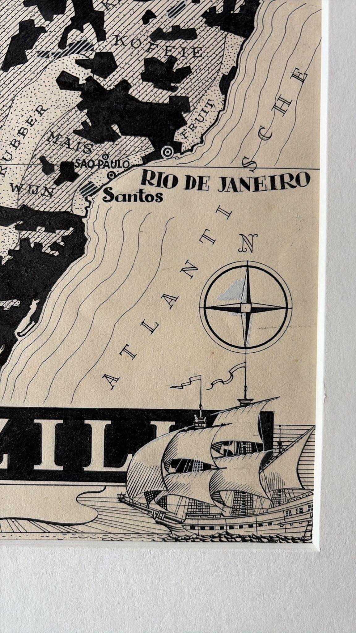
The country is shown in strong black-and-white contrasts, with a boxed legend at the top right that distinguishes "Weide Gronden" (pasture), "Woudgebied" (forest), "Granen" (grain) and "Metalen (ontgonnen)" (mined metals). Solid black patches mark the pasture lands across the south and east, while stippling and hatching describe forest and grain zones. Products such as rubber, coffee, cacao, wine and maize are lettered across the regions. The Amazon, Rio Negro and Rio Madeira are drawn, and Manaos, Para, Sao Paulo, Santos and Rio de Janeiro are named, along with the neighboring countries and the Steenbokskeerkring (Tropic of Capricorn) and Equator. A small inset at lower left carries the note "Tierra del Brasil, in 1500 ontdekt door de Portugeezen". A bold block title "BRAZIL" runs along the foot, beside a compass rose and a square-rigged ship at the lower right.
Burki trained as an architect and was born in the Dutch East Indies, and his postwar maps for Dutch publishers combine economic information with strong graphic design.