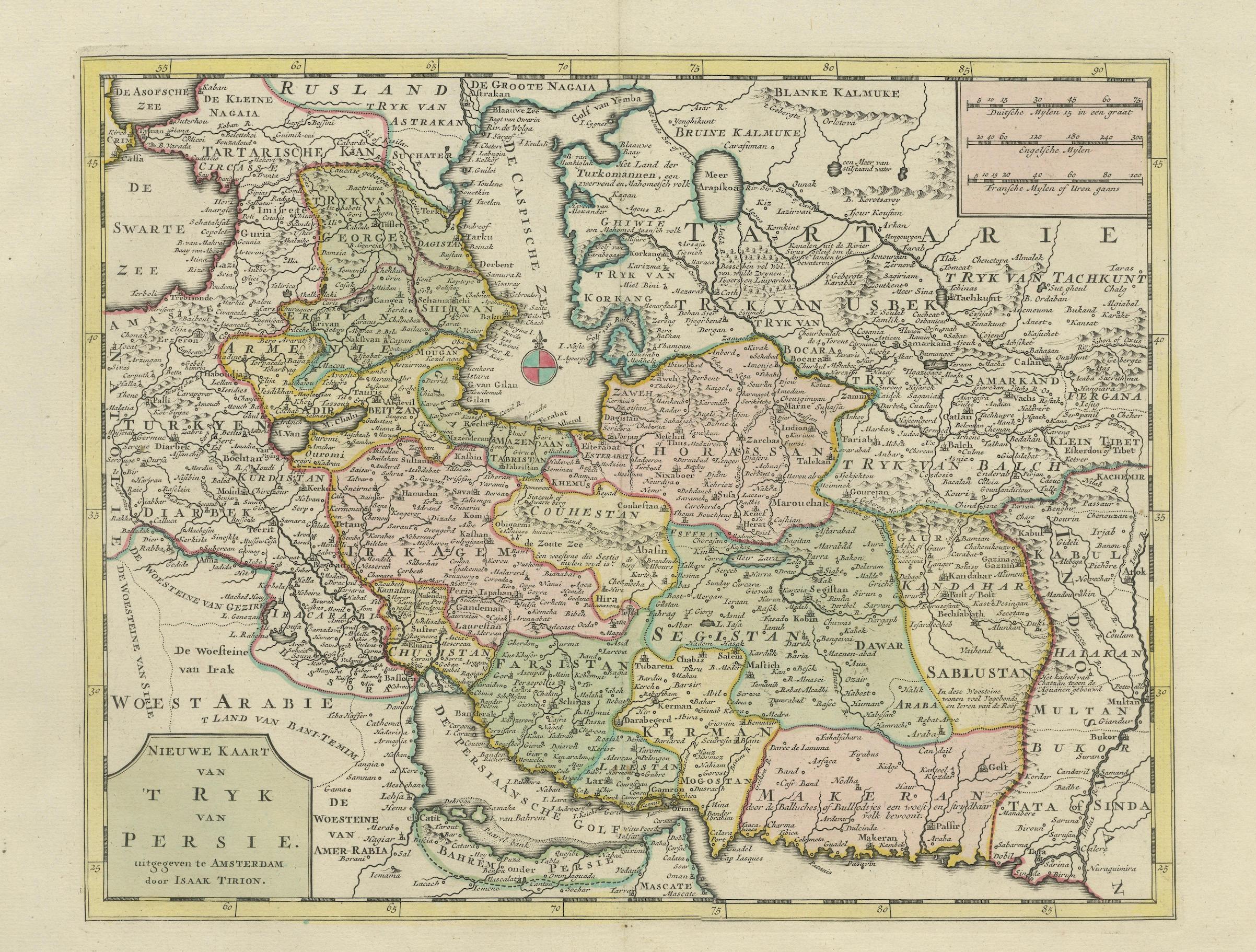
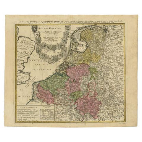
Map of the Persian Empire circa 1750 by Tirion – Hand-Colored Dutch Map
€ 590
One of a kind: this is the sheet in the photographs. Ships from Langweer, the Netherlands.
Date
1750
Sheet size
41.5 × 54.7 cm (16.3 × 21.5 in)
Condition
Good
Reference
BG-14087
Condition
Very good condition with contemporary hand-coloring. Light age toning and a few faint spots, mostly in the margins. No tears or repairs. Strong plate impression and clean central image.
About this sheet
Map of the Persian Empire circa 1750 by Tirion – Hand-Colored Dutch Map
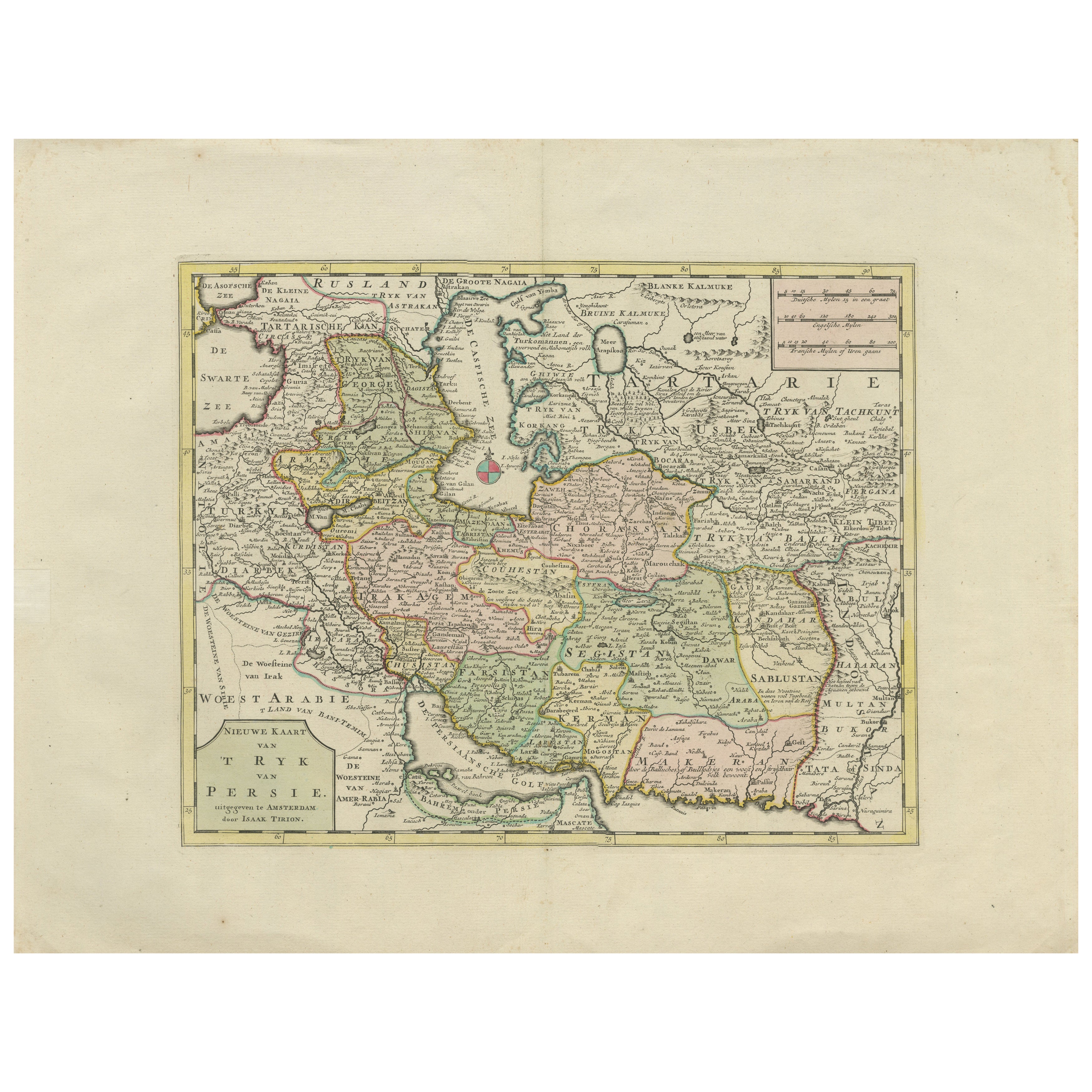
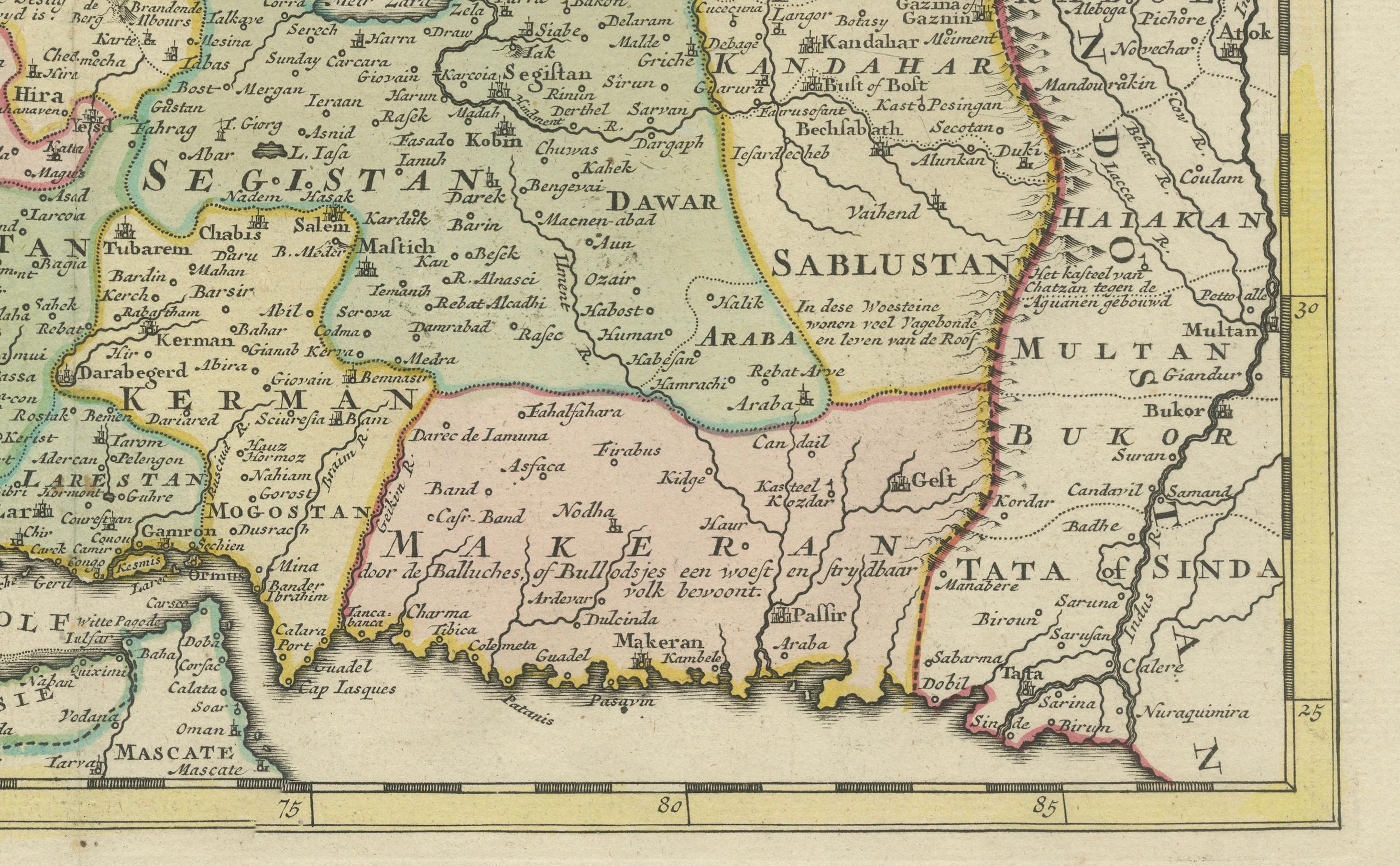
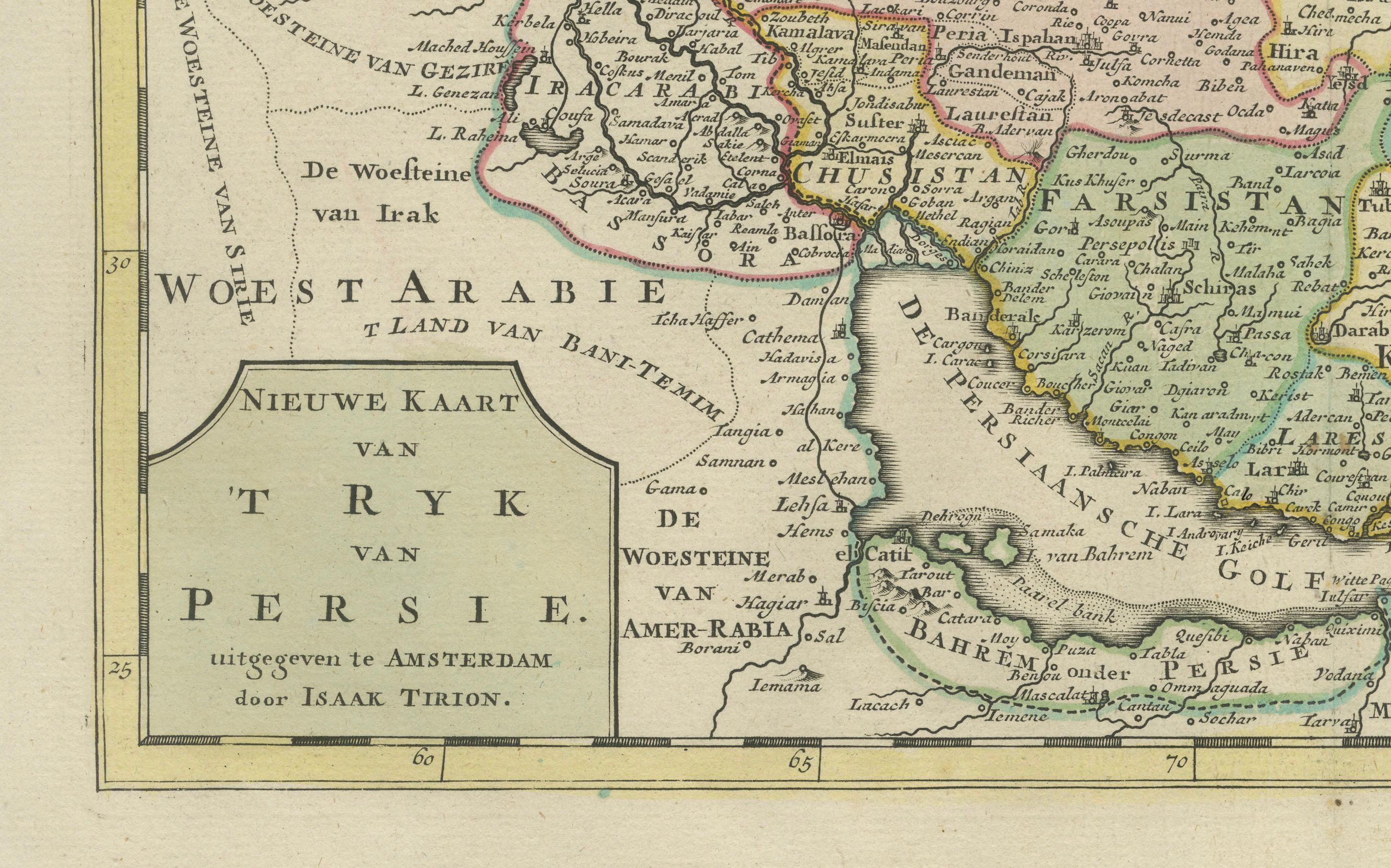
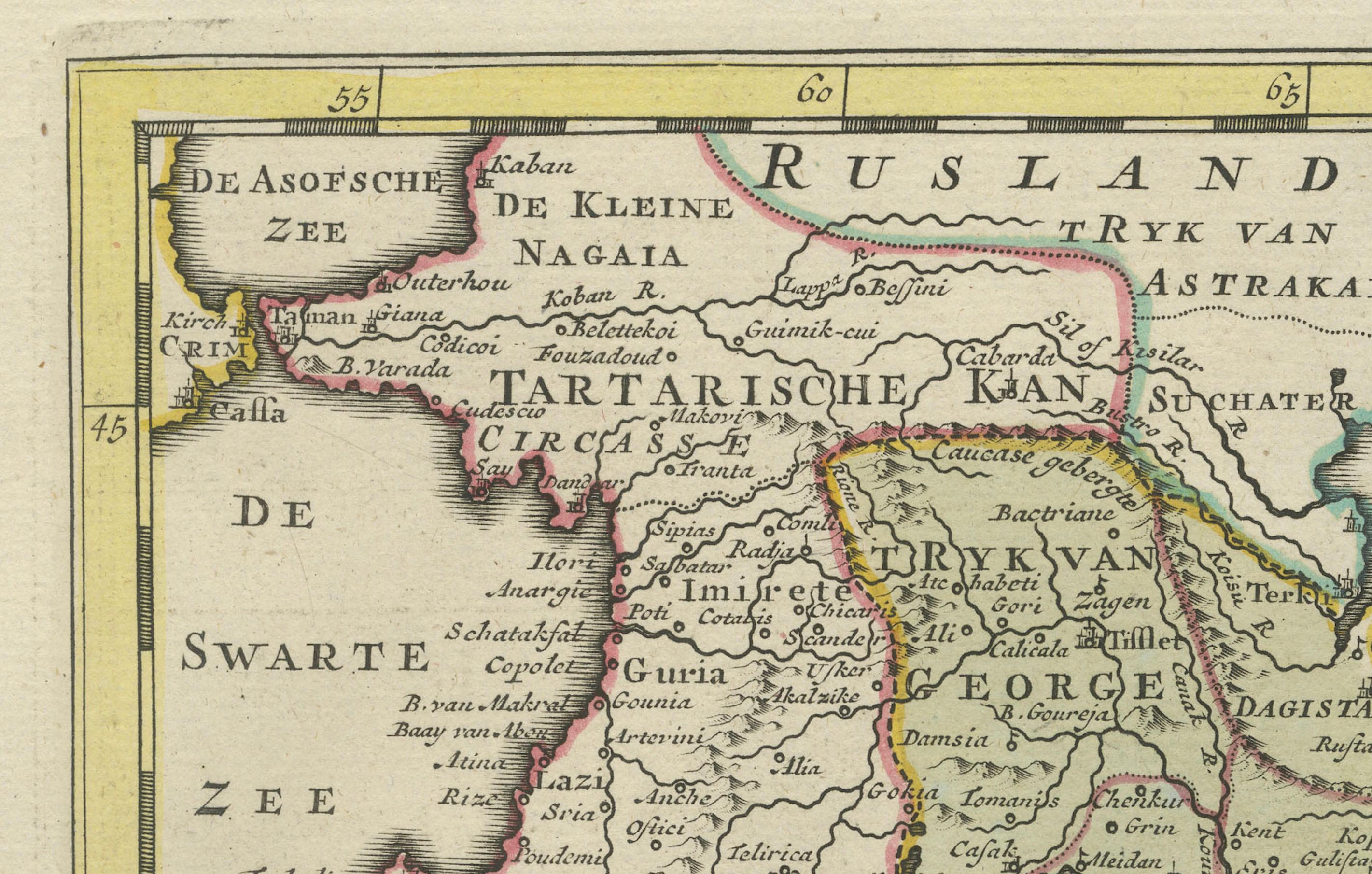
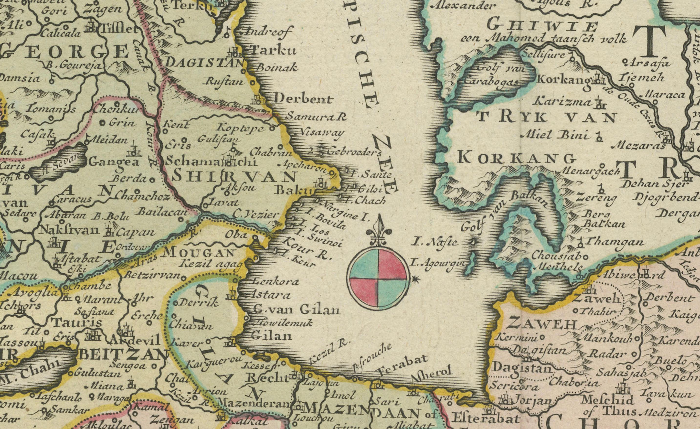
This finely detailed antique map titled "Nieuwe Kaart van 't Ryk van Persie" (New Map of the Empire of Persia) was published in Amsterdam around 1750 by Isaak Tirion, one of the foremost Dutch cartographers and publishers of the 18th century. The map presents an intricate view of the Persian Empire, covering a vast area stretching from the Ottoman territories in the west to the Indus Valley in the east, and from the Caspian Sea in the north down to the Persian Gulf.
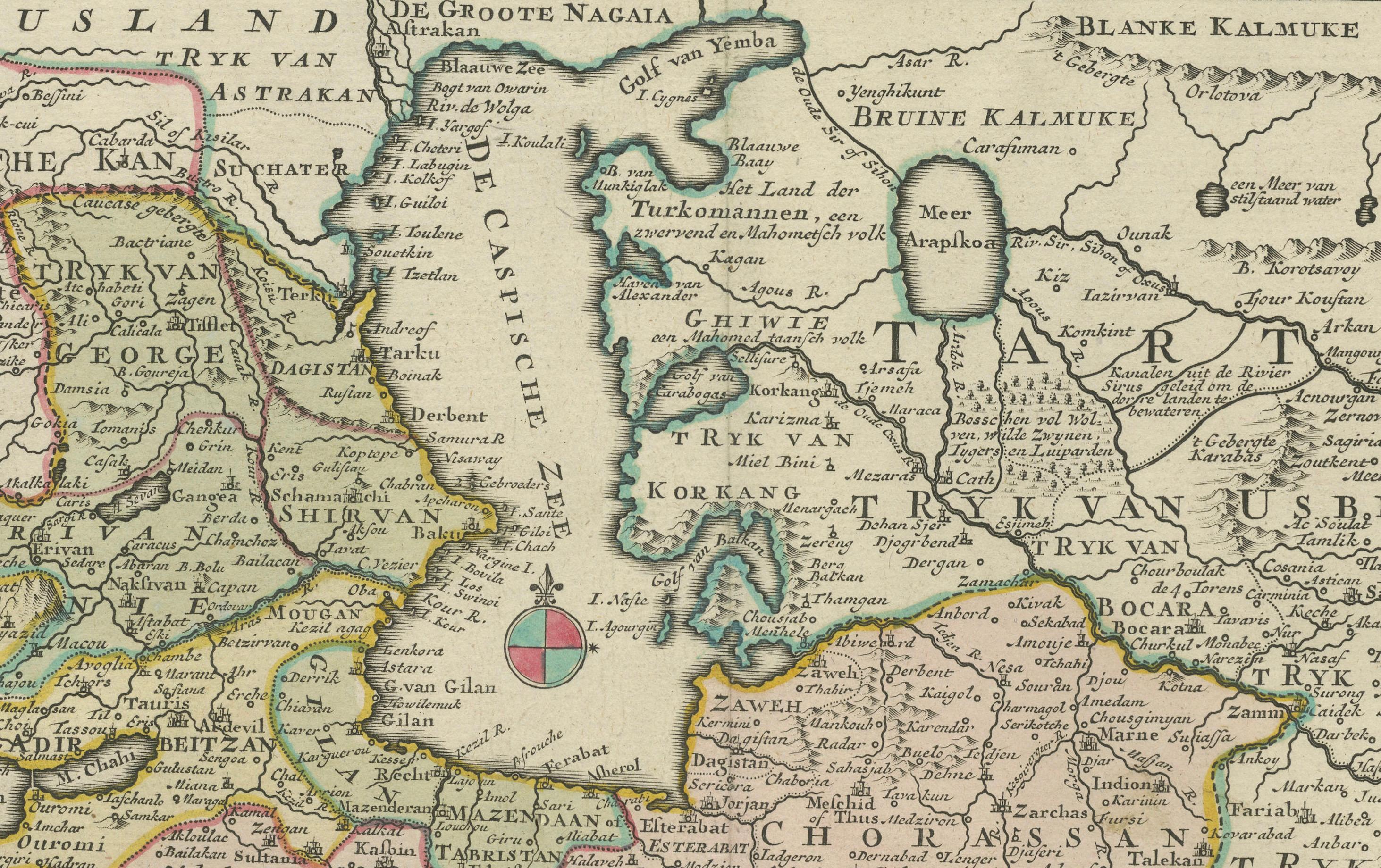
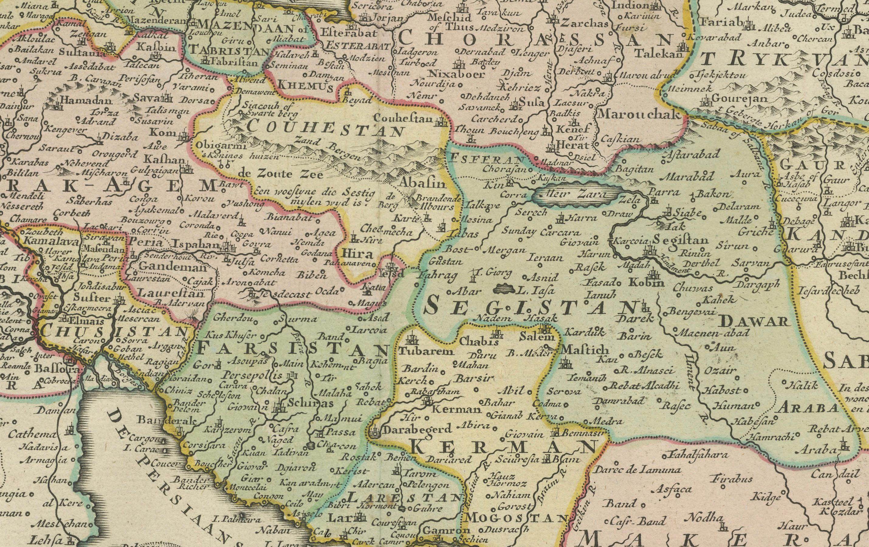
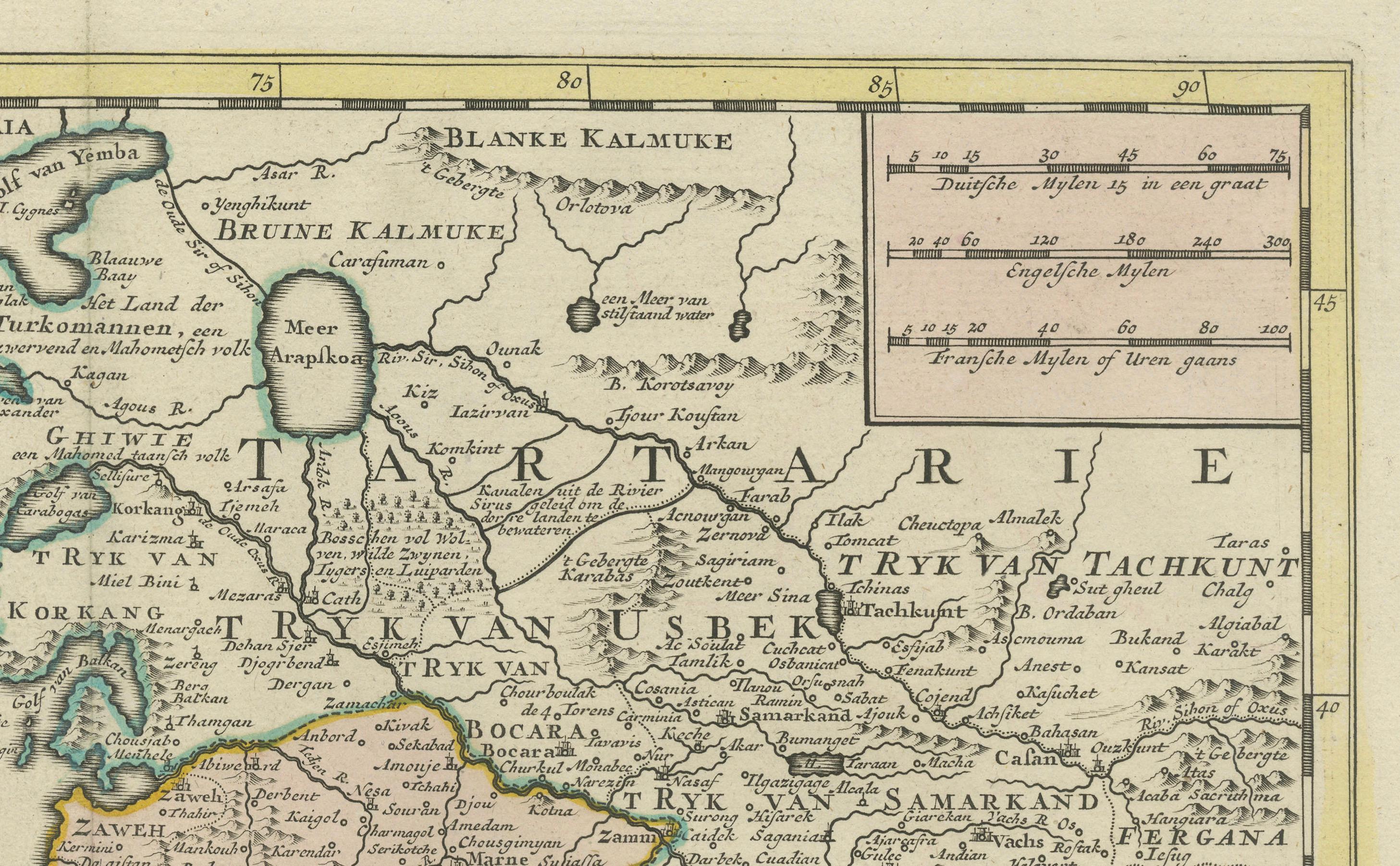
Printed from a copperplate engraving and beautifully hand-colored at the time of publication, the map illustrates the administrative divisions, cities, rivers, and mountain ranges of the region, with particular emphasis on historical provinces such as Chorasan, Fars, Mazandaran, Kurdistan, and Armenia. The bordering regions of Tartary, India, and Arabia are also clearly shown, providing valuable geographic context for the mid-18th century viewer.
A decorative cartouche in the lower left corner frames the title in elegant baroque scrollwork. The language used is Dutch, typical of maps produced for the educated European audience during the Dutch Golden Age of cartography. Tirion’s works are known for their clarity, accuracy, and fine engraving style, and this map is a strong example of his craftsmanship.
Isaak Tirion (1705–1765) published several atlases and geographical works, with many of his maps drawing on the most up-to-date French and German sources. His atlases were widely respected and used throughout Europe in the mid-18th century, and this map of Persia stands out for its geographic richness and artistic precision.
Condition summary: Very good condition with contemporary hand-coloring. Light age toning and a few faint spots, mostly in the margins. No tears or repairs. Strong plate impression and clean central image.
Framing tip: Frame in a dark walnut or mahogany frame with a cream or sand-colored mat. Use UV-protective glass to preserve the color and paper. Ideal for classical or academic interiors with warm or neutral tones.