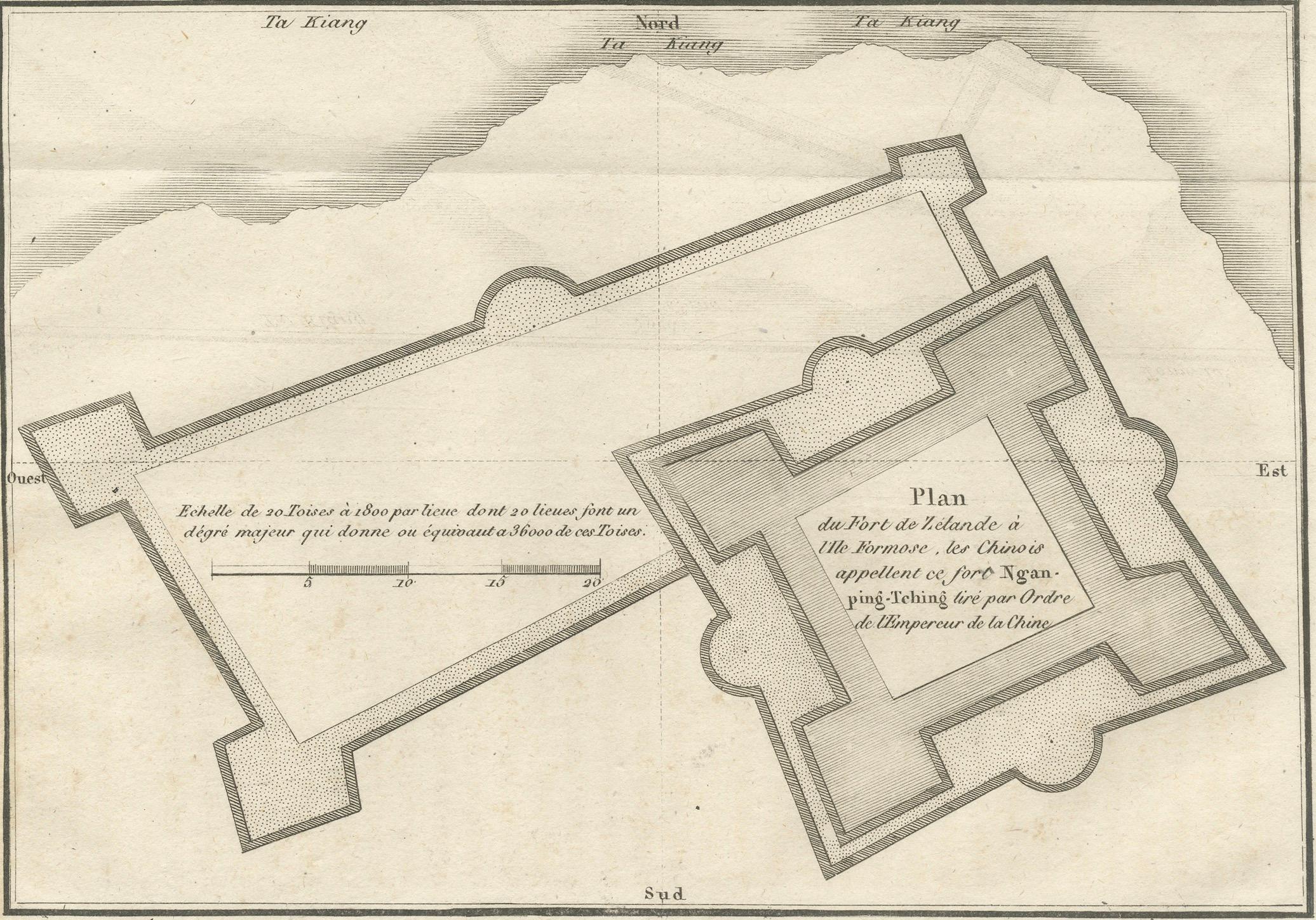
Plan of the Dutch Fort in Formosa – Antique French Jesuit Engraving, ca.1790
€ 350
One of a kind: this is the sheet in the photographs. Ships from Langweer, the Netherlands.
Date
1790
Sheet size
14.8 × 20 cm (5.8 × 7.9 in)
Condition
Good
Reference
BG-14078-18
Condition
Condition report: Good condition with a strong plate mark and crisp impression. Minor toning and a few faint foxing spots in the margins. A light horizontal fold as issued. Paper remains strong and stable.
About this sheet
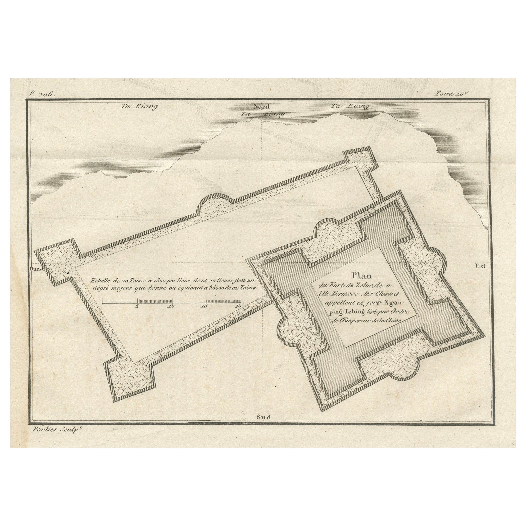
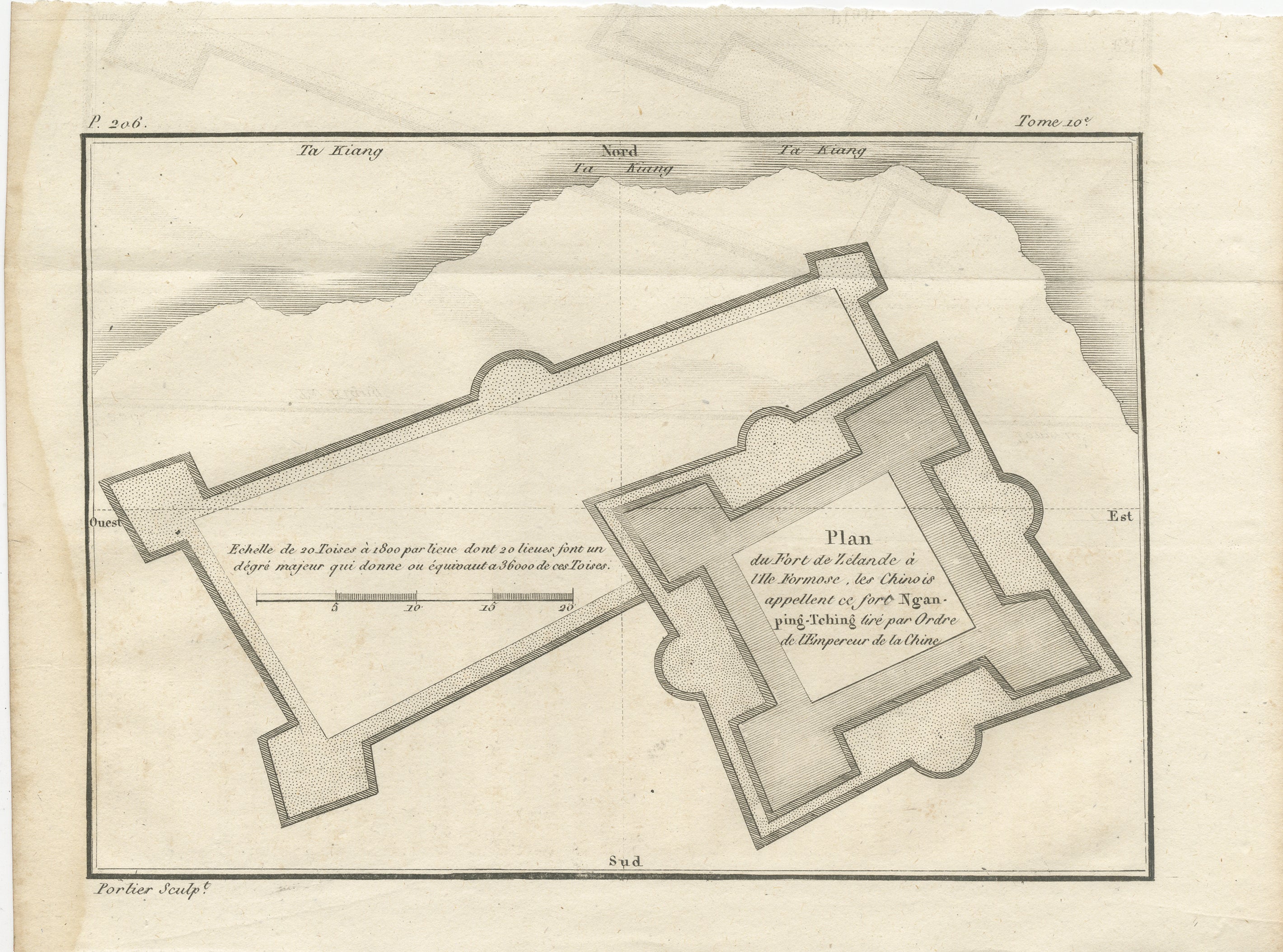
Plan of the Dutch Fort in Formosa – Antique French Jesuit Engraving by Portier, c.1790
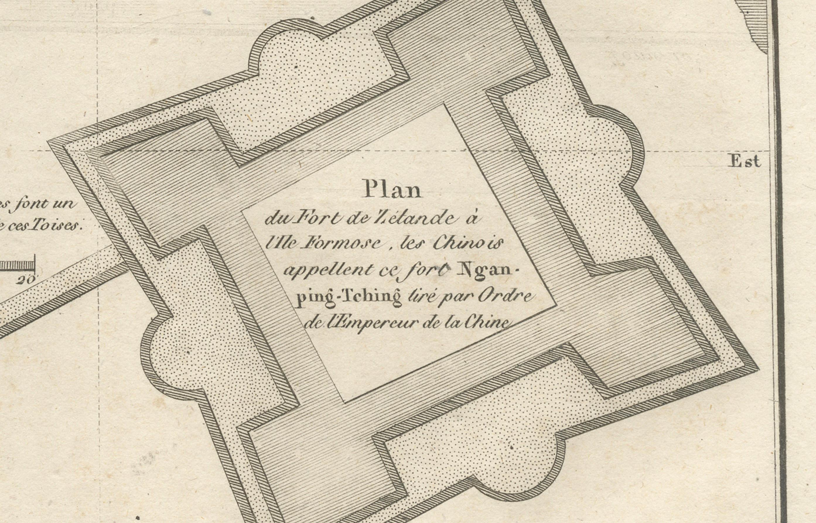
This antique French engraving by Portier, produced around 1790, shows a detailed plan of the Dutch fort on the island of Formosa (modern Taiwan), identified in the French title as “Plan du Fort de Hollande à l’Ile Formose.” The Chinese called this fort “Ngan-ping-Tching,” and the plan is noted as being based on surveys ordered by the Emperor of China.
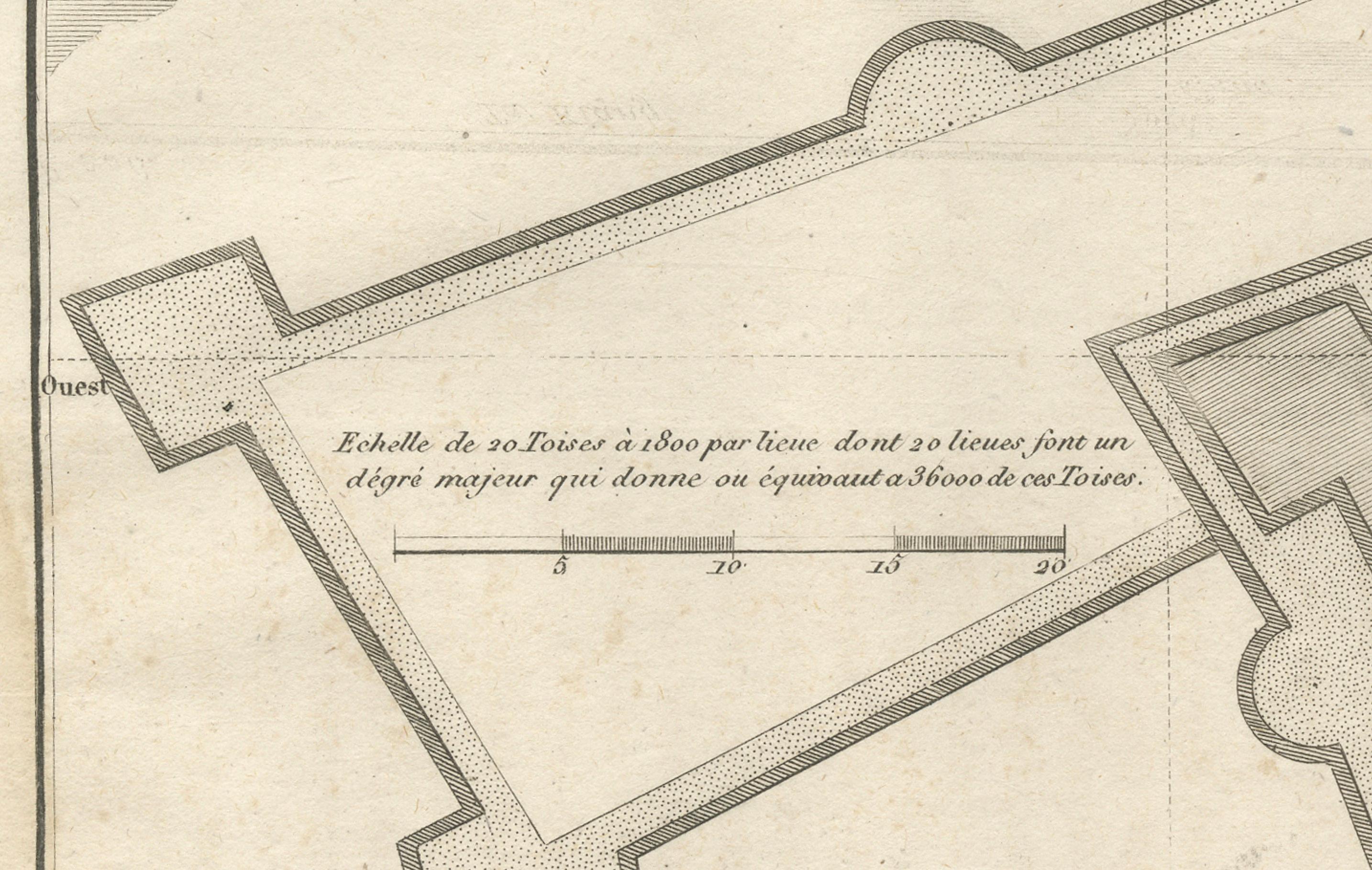
The engraving presents two geometric fortifications in precise measured outline, drawn at a scale of 20 toises per division, with a note explaining that 20 leagues equal one degree of latitude, corresponding to 5,000 toises. The star-shaped bastion layout, with angled walls and projecting defensive points, reflects European military architecture of the 17th century, introduced to Asia during the Dutch colonial period.
This fort is almost certainly Fort Zeelandia in Tainan, built by the Dutch East India Company between 1624 and 1634. The stronghold was a key base for Dutch trade and military operations in the region until 1662, when it was surrendered to Chinese forces led by Koxinga (Zheng Chenggong). Its depiction here reflects both historical interest and the Jesuit mission to accurately document geographic and architectural features of strategic sites.
The clean, uncluttered linework and precise proportions are typical of Enlightenment-era French surveying engravings, intended for both scientific accuracy and publication in missionary or travel accounts.
Condition report: Good condition with a strong plate mark and crisp impression. Minor toning and a few faint foxing spots in the margins. A light horizontal fold as issued. Paper remains strong and stable.
Framing tips: Best displayed in a black or walnut frame with an off-white archival mat. A thin gold inner slip could enhance the historic military cartography aesthetic.
Technique: Engraving Maker: Portier, France, c.1790