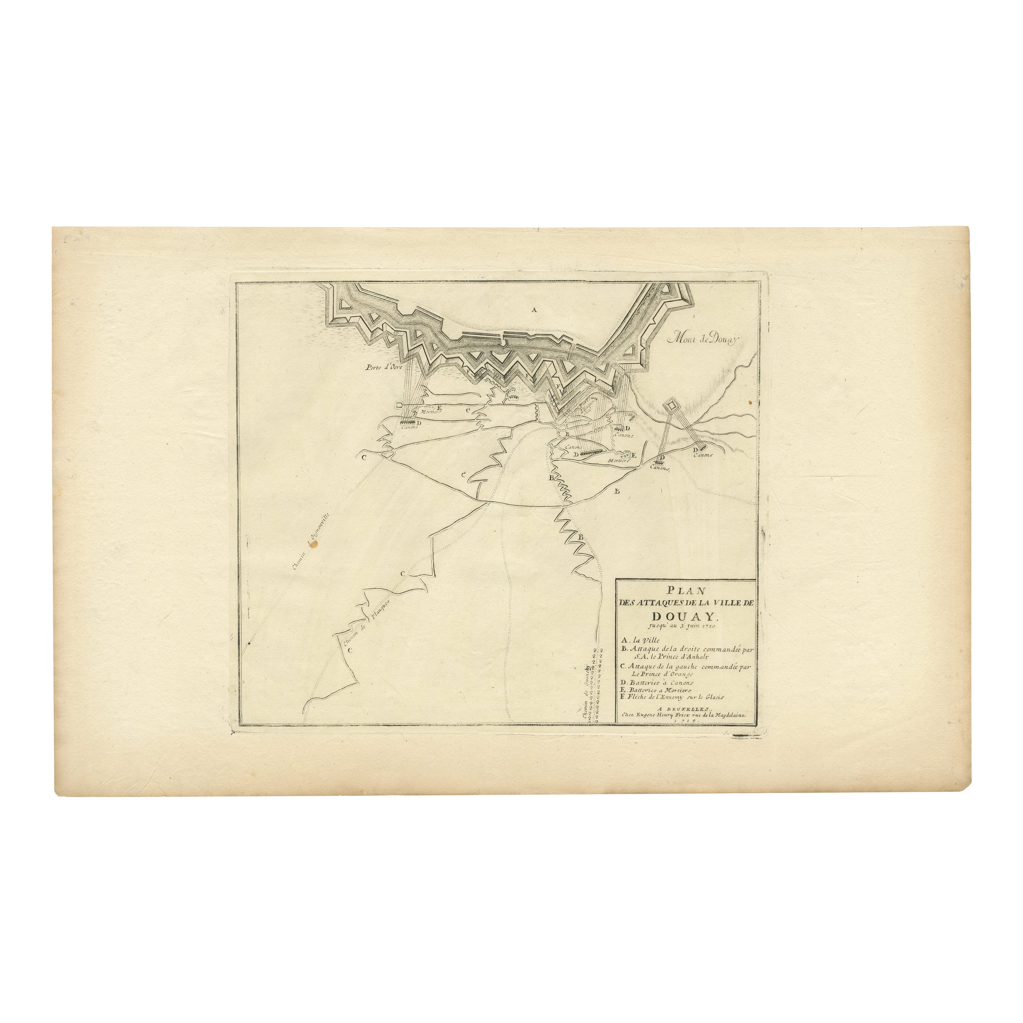
Attack Plan of Douay Fortress, France, 1710 Siege – Brussels c.1720 Map
€ 250
One of a kind: this is the sheet in the photographs. Ships from Langweer, the Netherlands.
Date
1710
Sheet size
31.6 × 51.5 cm (12.4 × 20.3 in)
Condition
Good
Reference
BG-13201-6
Condition
Very good condition. Strong impression and clear detail. Light general age toning, minor foxing in margins, not affecting the printed area. Original center fold as issued. Wide margins intact with minimal handling wear.
About this sheet
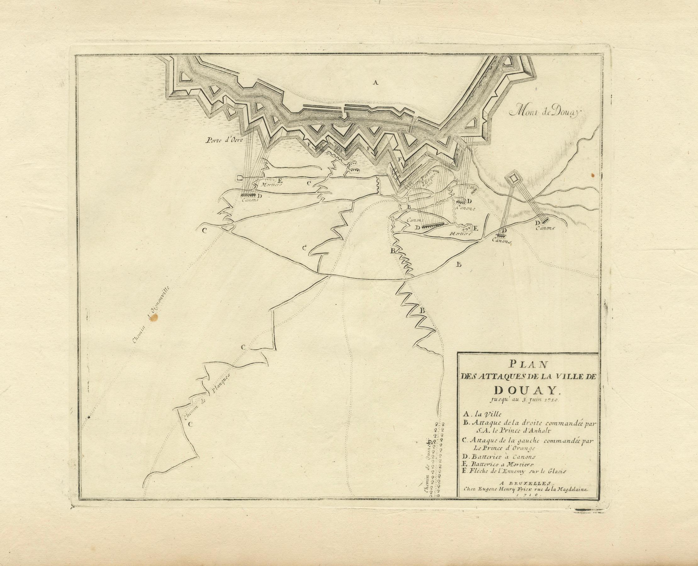
Attack Plan of Douay Fortress, France, 1710 Siege – Brussels c.1720 Map
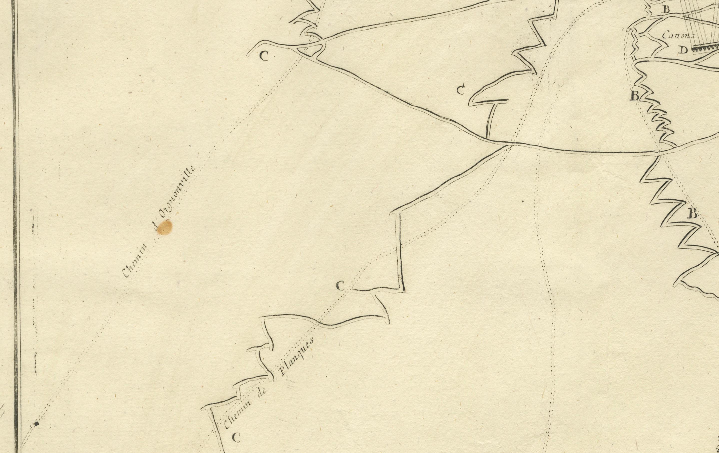
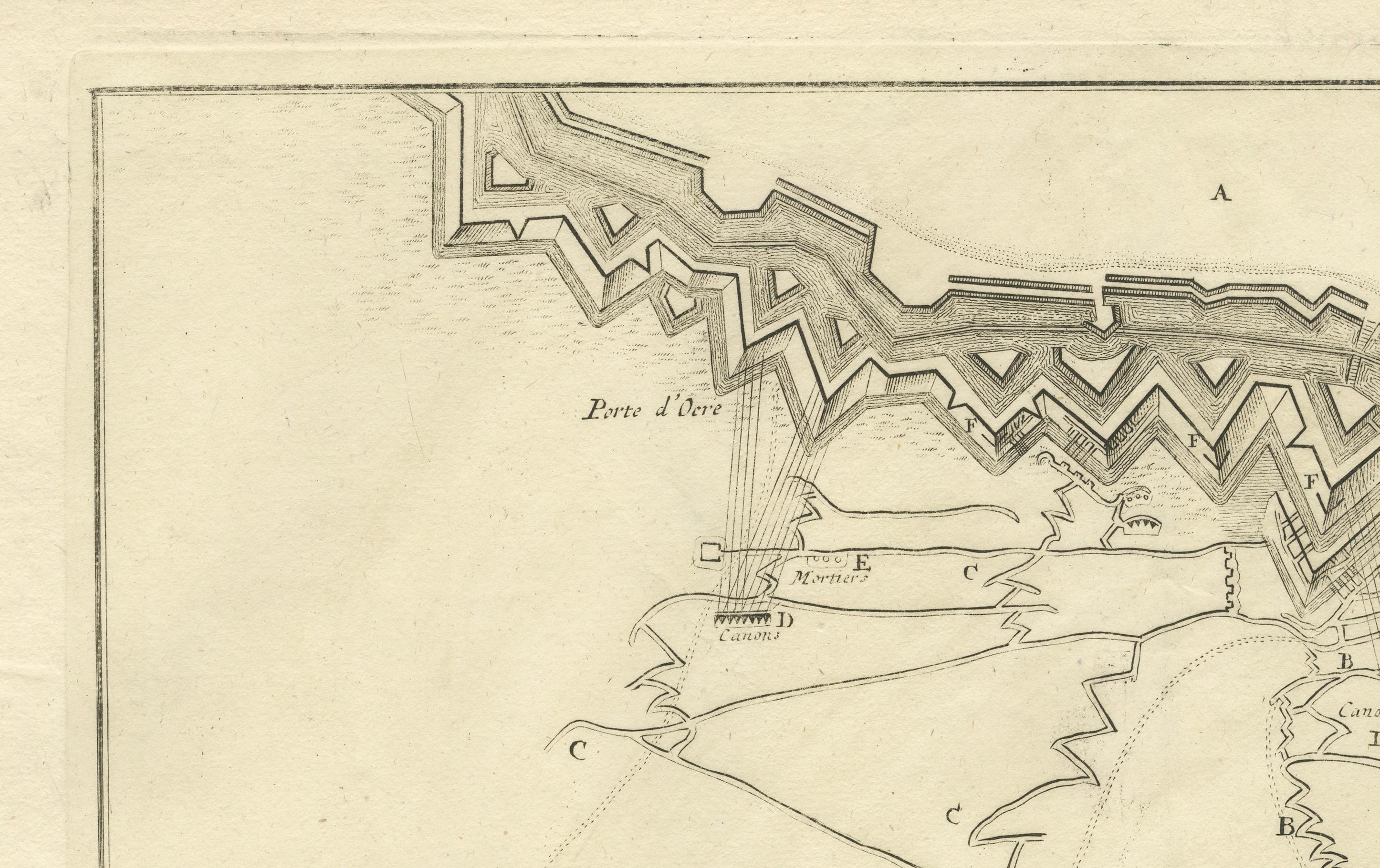
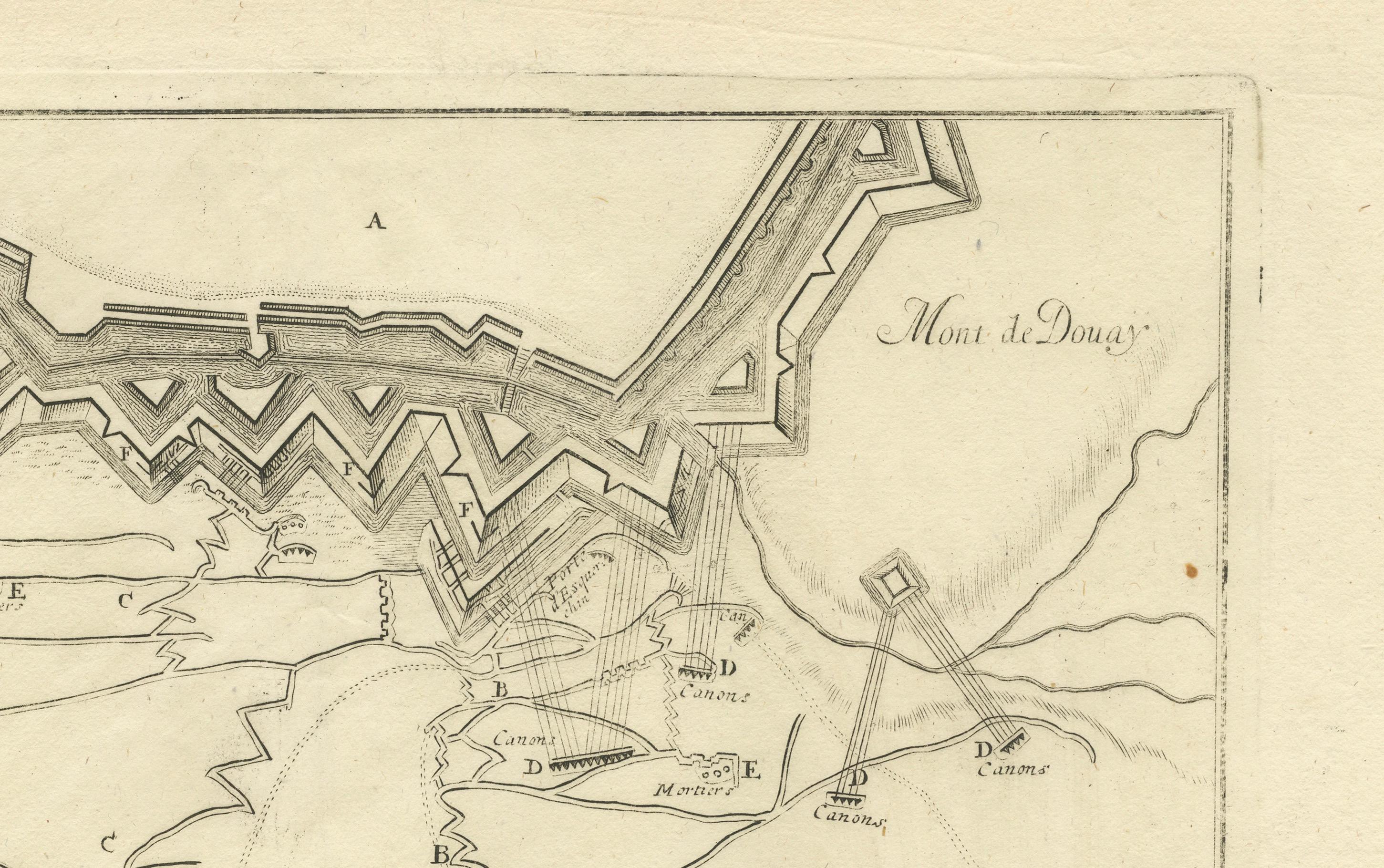
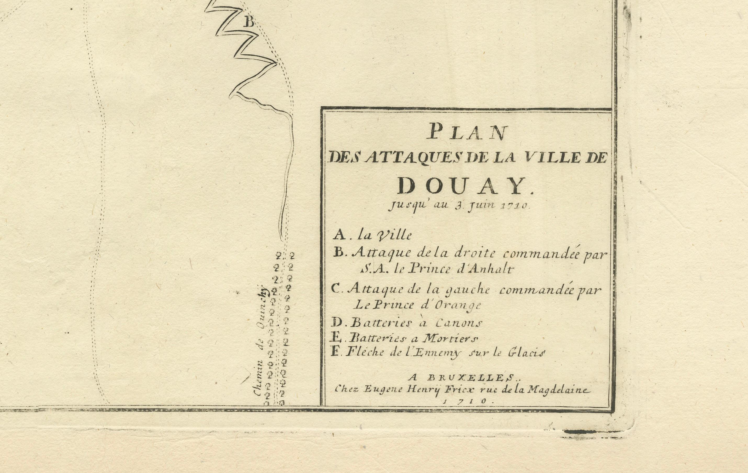
This engraved military map shows the detailed plan of attacks on the fortress city of Douay (Douai) in northern France, titled "Plan des Attaques de la Ville de Douay" and dated to the siege operations up to June 23, 1710. It illustrates the fortification lines, bastions, ravelins, attack trenches (chemins de tranchée), batteries, and strategic positions used during the siege.
The map legend indicates: A. la Ville (the city) B. Attaque de la droite commandée par M. le Prince d’Anhalt (right attack commanded by Prince Anhalt) C. Attaque de la gauche commandée par le Prince d’Orange (left attack commanded by the Prince of Orange) D. Batterie à Canon (cannon battery) E. Batterie à Mortiers (mortar battery) F. Pièce de 12 envoyée sur le Glacis (12-pounder gun fired onto the glacis)
It was published in Brussels by *Eugene Henry Fricx, a well-known Flemish engraver and publisher active in the early 18th century. His maps often documented military campaigns of the War of the Spanish Succession for Dutch and allied audiences. The clear layout focuses on the geometric bastion fortifications typical of Vauban design, along with systematic approaches of siege warfare including zig-zag trenches and artillery placements.
The Siege of Douai (1710) was part of Marlborough’s campaign in northern France, capturing this strategic fortress city after several weeks of siege operations involving extensive trench networks and artillery bombardments.
Condition report:
Very good condition. Strong impression and clear detail. Light general age toning, minor foxing in margins, not affecting the printed area. Original center fold as issued. Wide margins intact with minimal handling wear.
Framing suggestion:
Frame with a slim dark wood or black frame and an archival off-white or cream mat to emphasize the crisp engraved lines. UV-protective glass is recommended to preserve paper stability and avoid further toning.