Maps & PrintsBartele Gallery · Langweer
Home / Antique Maps / Europe / Western Europe / The Netherlands & Belgium

The Netherlands & Belgium · 18th century

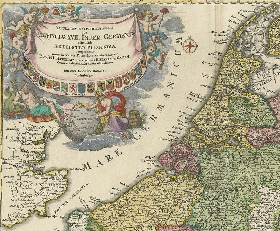
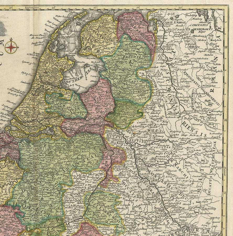
Antique Map of the Netherlands and Belgium by Homann, circa 1710

€ 790

One of a kind: this is the sheet in the photographs. Ships from Langweer, the Netherlands.

Date
1710
Mapmaker / artist
Johann Baptist Homann (Artist)
Technique
Engraved
Sheet size
53 × 61 cm (20.9 × 24.0 in)
Condition
Good
Reference
BG-11676

Condition

Repaired: Some marginal tears and a split/repair on folding line. General age-related toning. Blank verso. Some marginal tears and a split/repair on folding line. Please study images carefully.
About this sheet

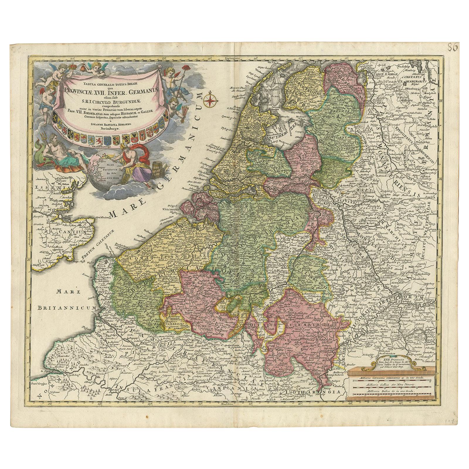
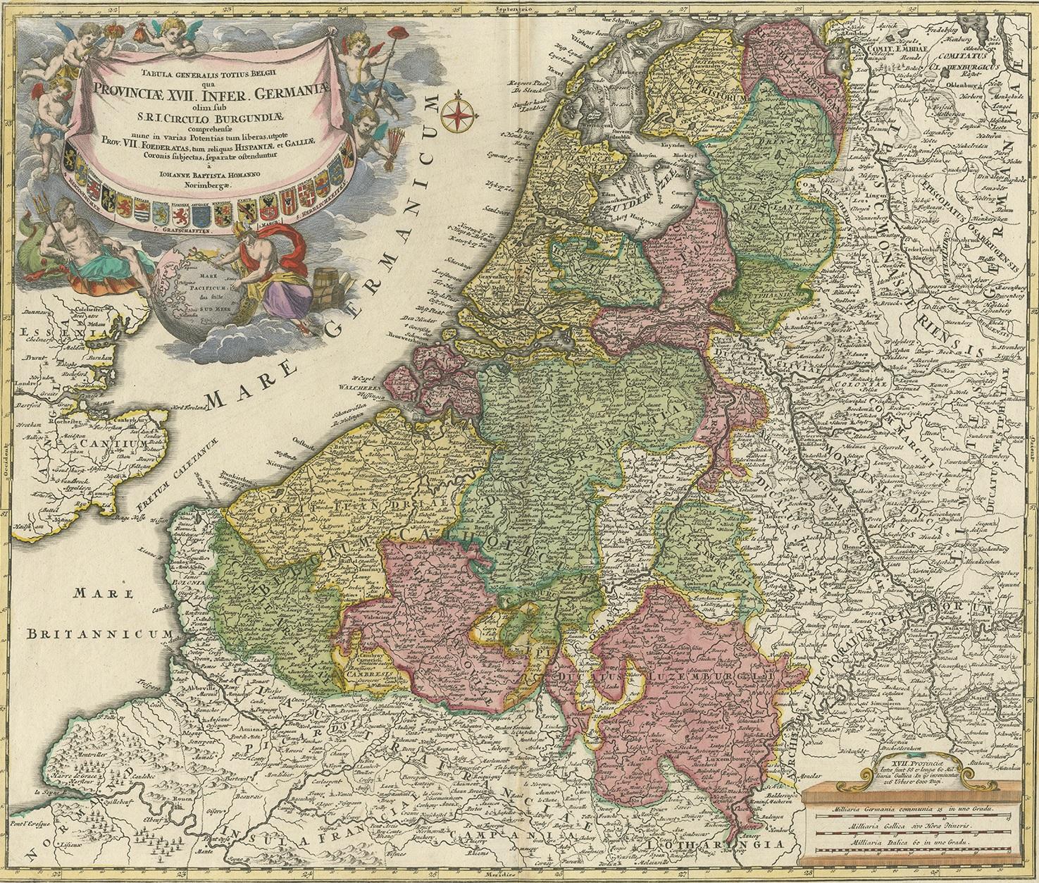
Antique map titled 'Tabula Generalis Totius Belgii Provinciae XVII. Infer. Germaniae (..)'. Map of the Benelux countries by Johann Baptist Homann. Shows the area between the Seine estuary and the Ems. Among the provinces Flanders, Brabant, Luxembourg, Geldern and Limburg. In the center Brussels, Louvain, Maastricht and Liege. The decorative figural cartouche with the coat of arms of the provinces, Poseidon with Mercury and a globe with Southeast Asia (marked Ostindien) and the Pacific Ocean.

More from The Netherlands & Belgium

Ask about this sheet

Antique Map of the Netherlands and Belgium by Homann, circa 1710
1710 · Ref. BG-11676 · € 790
We reply by email, usually within one working day.