Maps & PrintsBartele Gallery · Langweer
Home / Antique Maps / Europe / Western Europe / The Netherlands & Belgium

The Netherlands & Belgium · 17th century

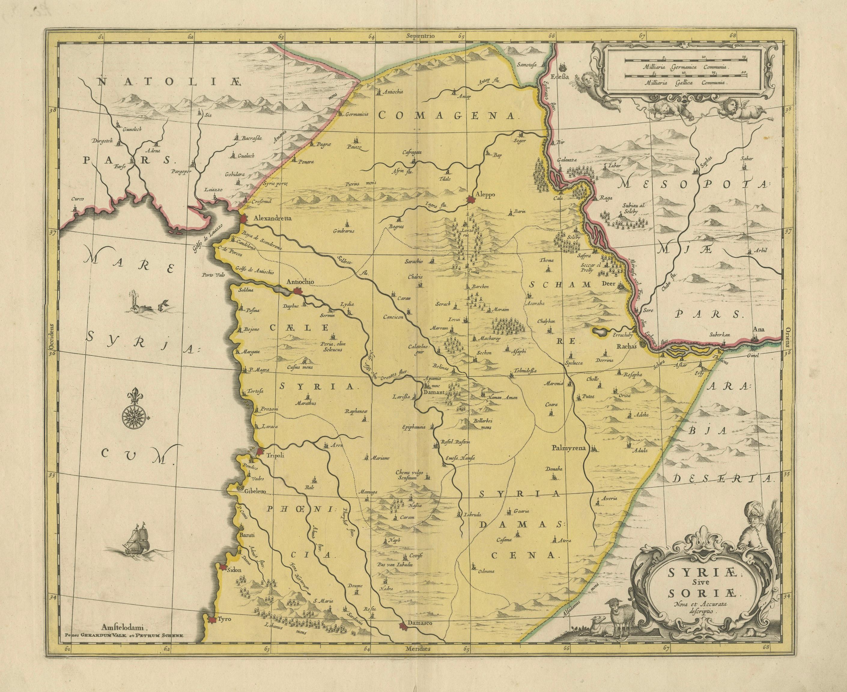
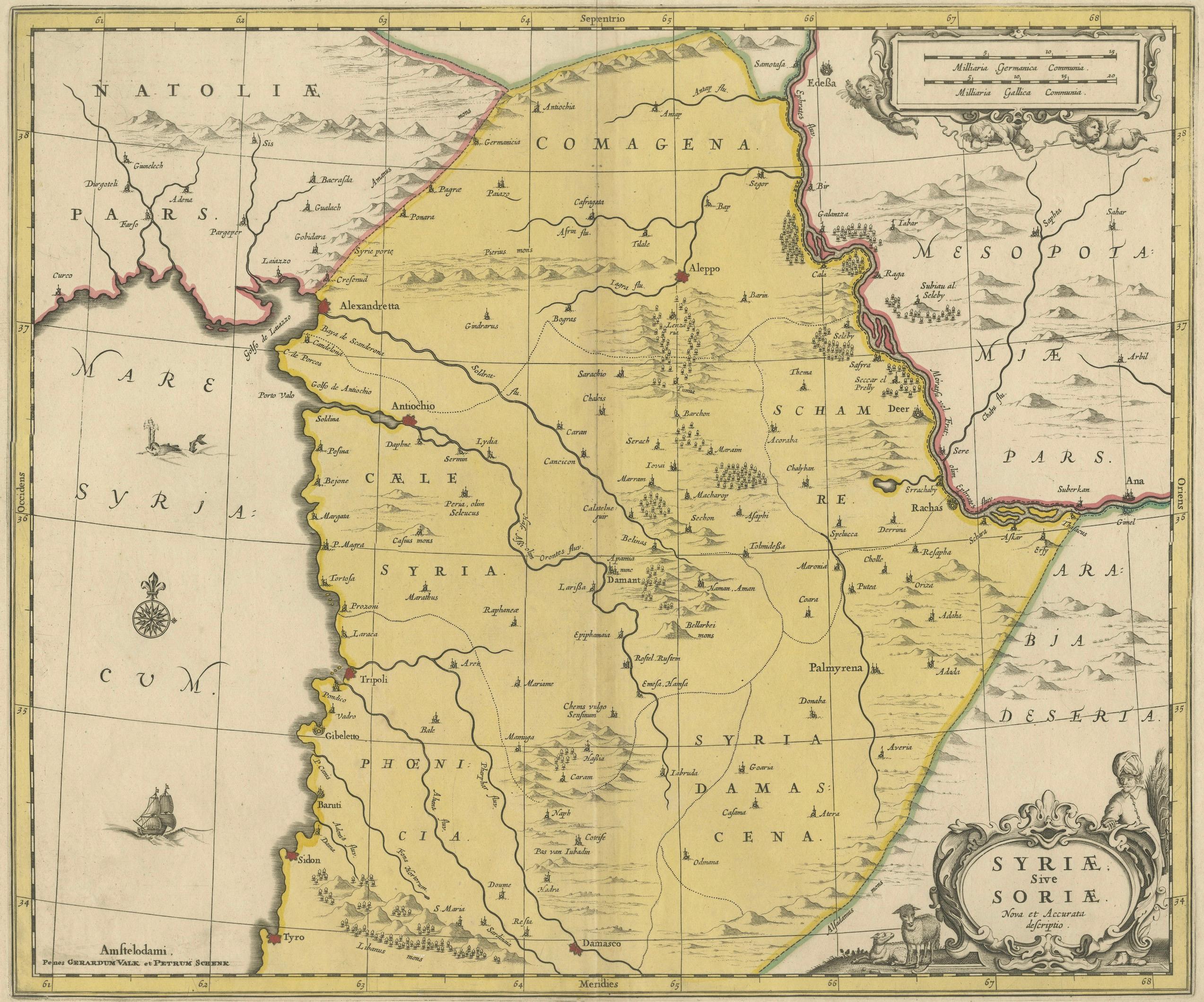
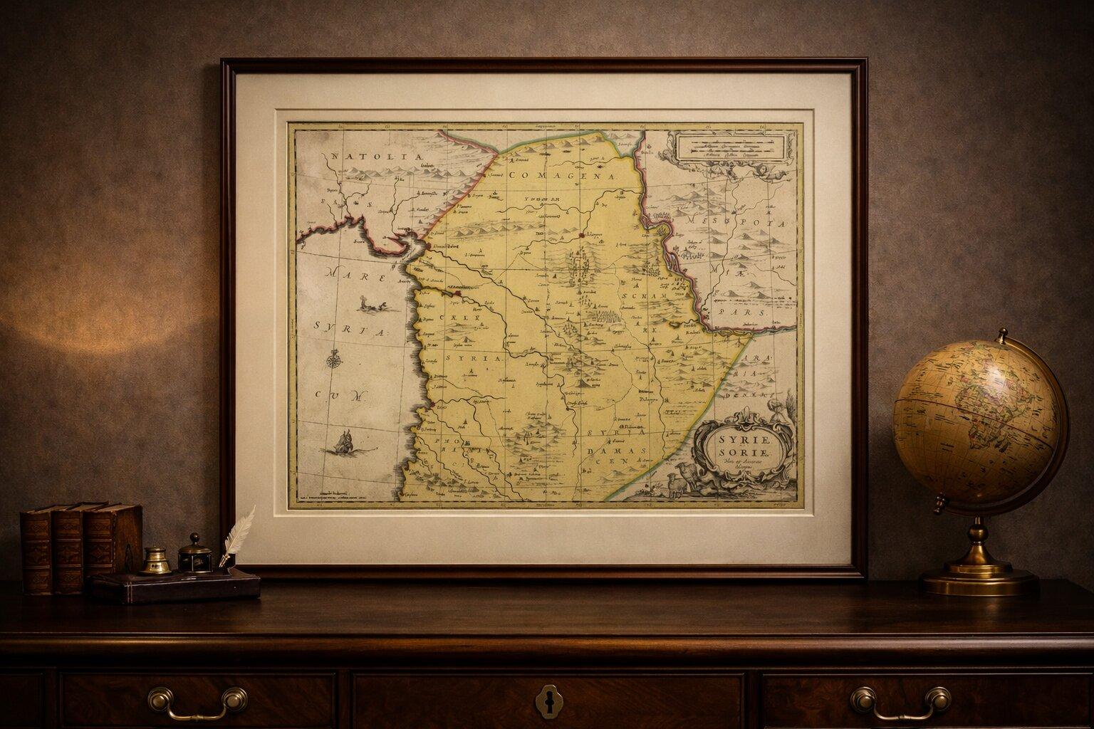
Syria Map Valk & Schenk, Hand Colored Engraving, Amsterdam, c.1700

€ 695

Original antique · The actual sheet photographed · Certificate of authenticity on request · Sold unframed · Worldwide shipping from € 15 (rates)

Date
1700
Mapmaker / artist
Gerard Valk & Petrus Schenk, Amsterdam, circa 1690–1710
Technique
Copperplate engraving with original hand coloring
Sheet size
51.6 × 61 cm (20.3 × 24.0 in)
Condition
Good
Reference
BG-14275-3
What the condition grades mean
Excellent
Bright and clean, with no faults worth mentioning.
Very good
Only light signs of age, such as faint toning.
Good
Normal signs of age for a sheet of this period: toning, some foxing, small marks or neat old repairs.
Fair
Clear faults such as staining, tears or repairs, priced to match.

Every fault we see is written in the condition note, and the whole sheet is shown uncropped in the photos.

Condition

Good antique condition with even age toning and light scattered foxing. Central fold as issued. Margins are complete.
About this sheet

Syria Map Valk & Schenk, Hand Colored Engraving, Amsterdam, c.1700

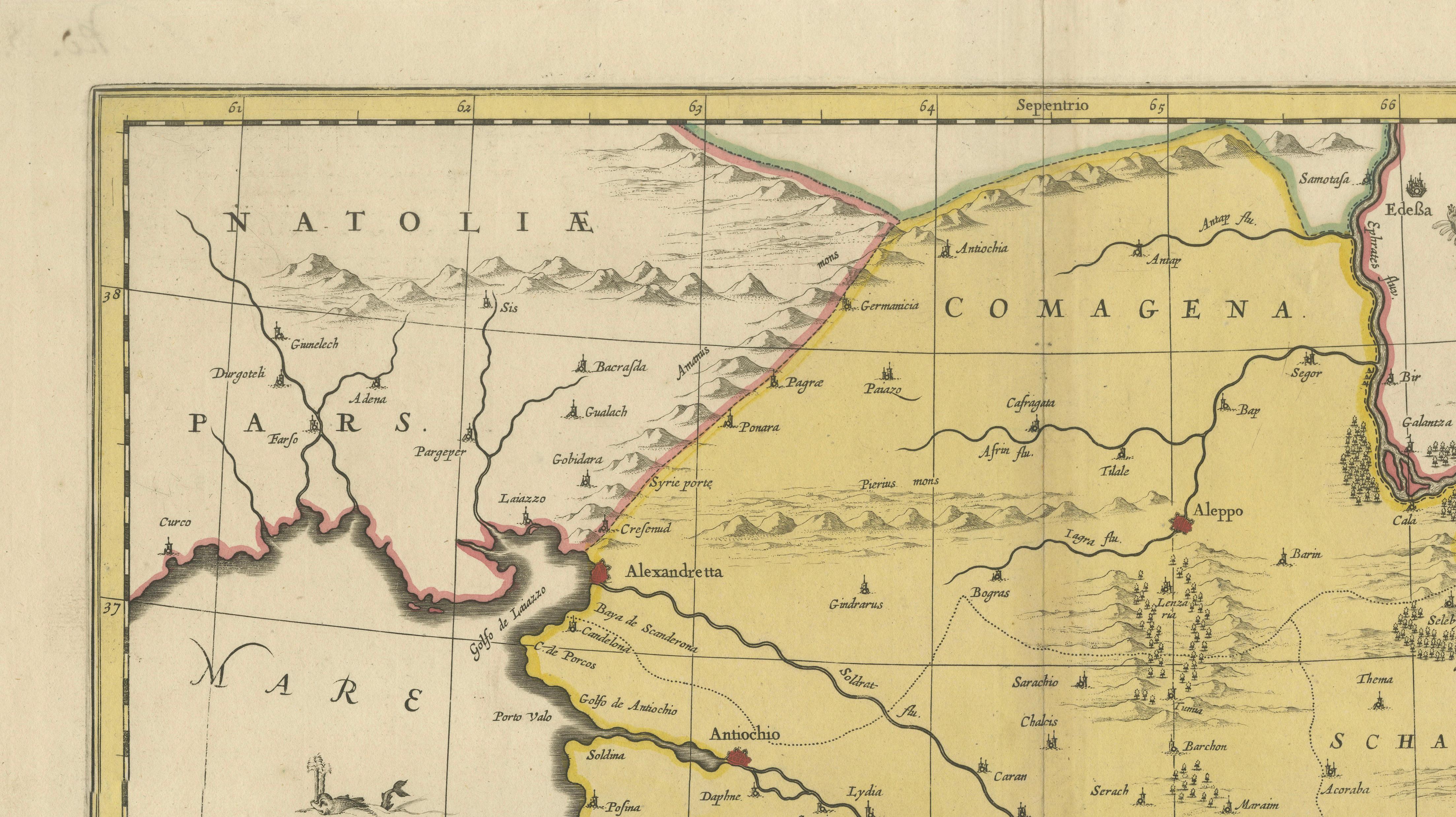
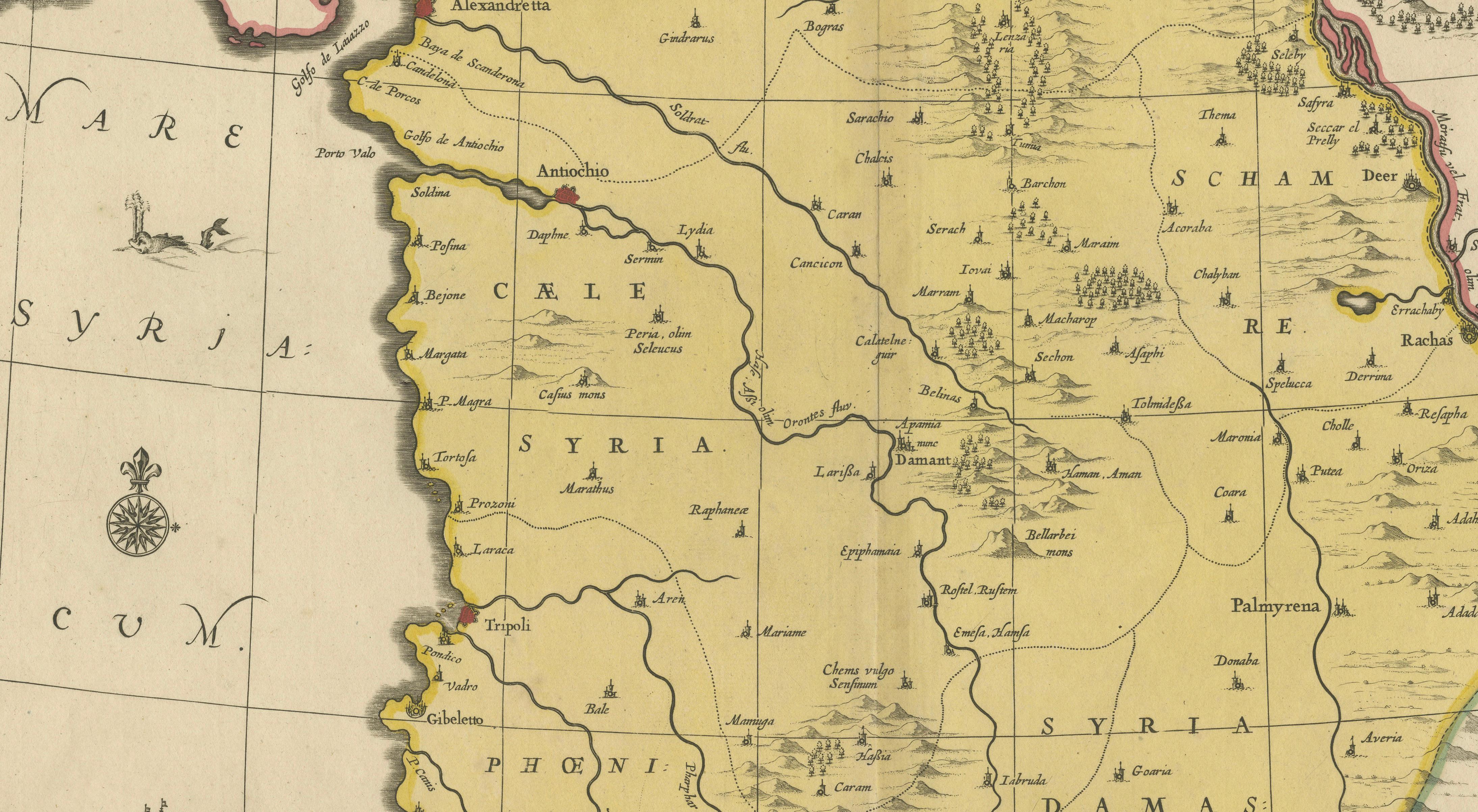
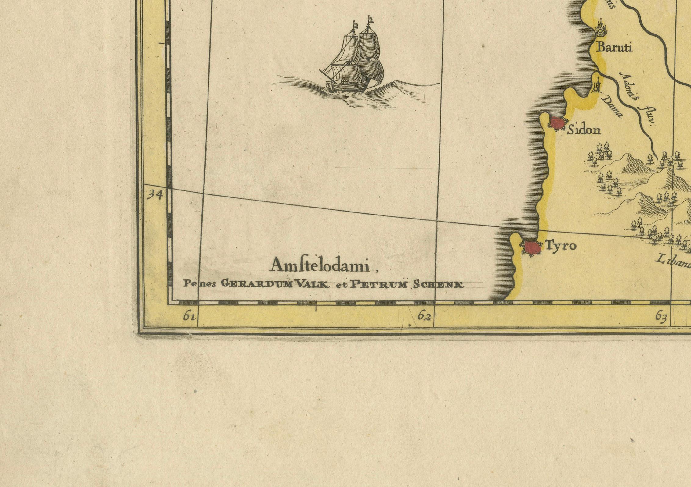
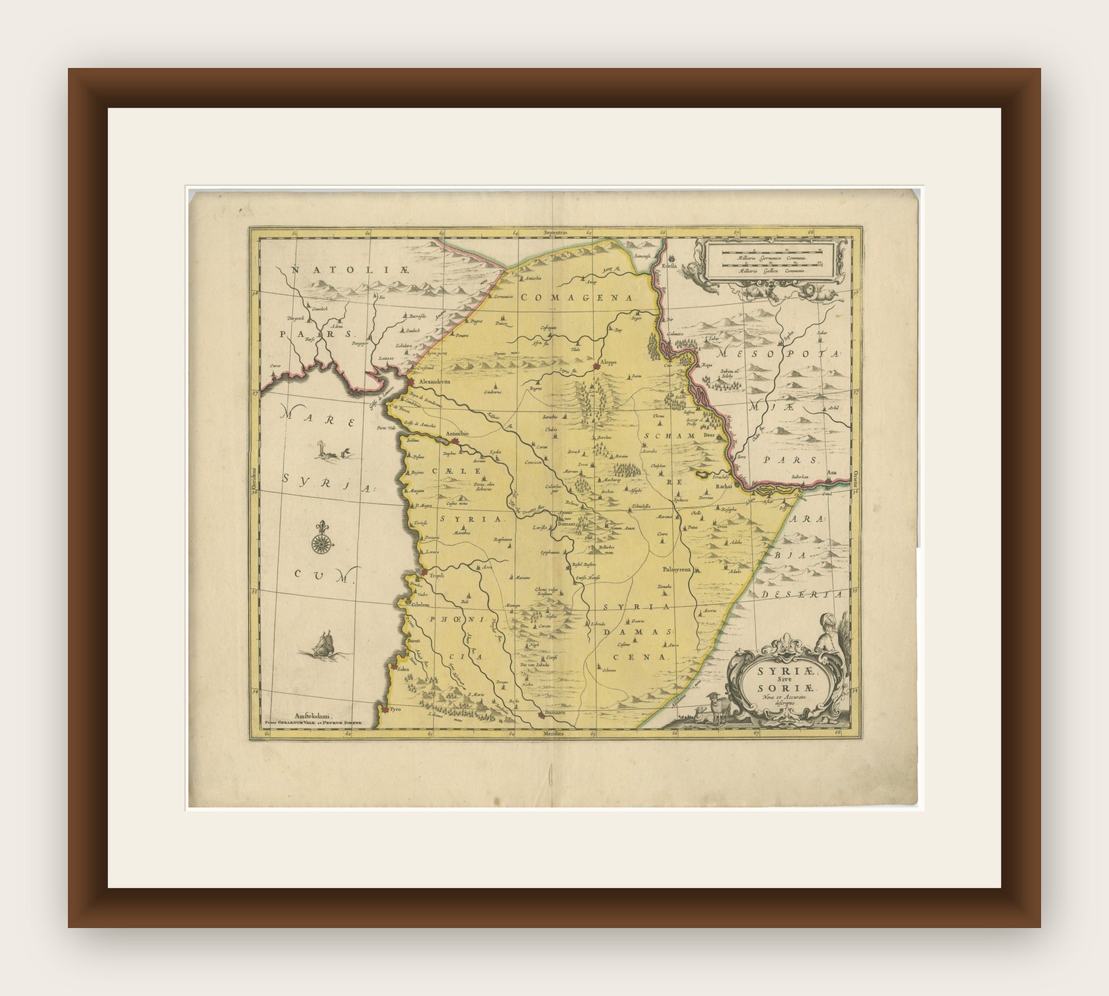
This finely engraved and original hand-colored map of Syria, titled Syriae sive Soriae Nova et Accurata Descriptio, was published in Amsterdam by Gerard Valk and Petrus Schenk around 1690–1710. It represents a later Dutch Golden Age edition, reissued from earlier 17th-century cartographic sources and refined for a new market.

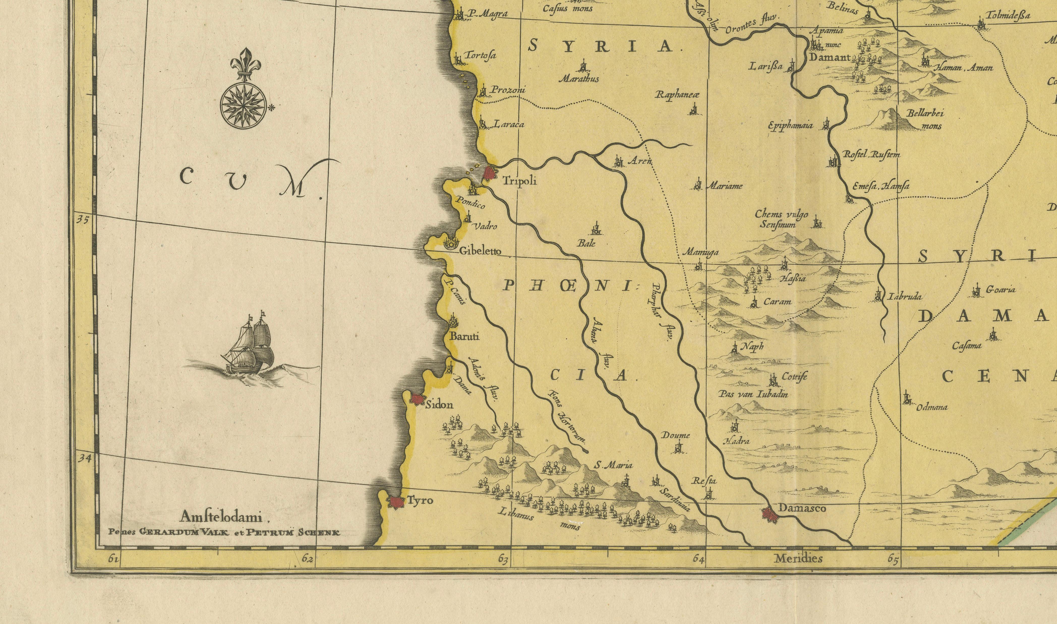
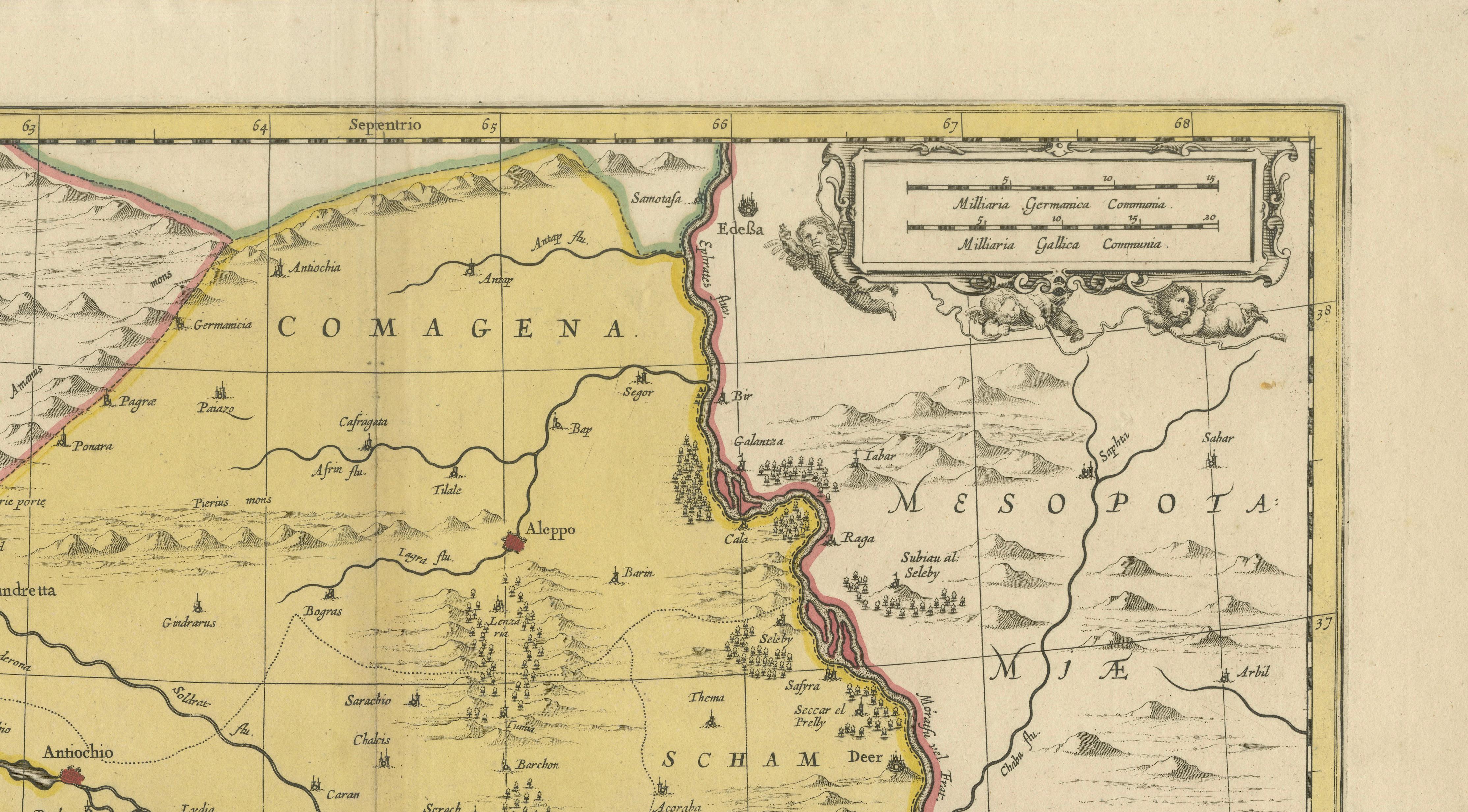
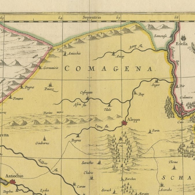
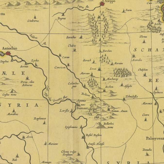
The map presents a detailed view of the historical region of Syria, extending from the Mediterranean coastline inland toward Mesopotamia. Important cities such as Damascus, Antioch, Sidon, Tyre, and Tripoli are clearly identified, reflecting both classical geography and early modern European knowledge of the Near East.

Cartographically, the map is based on earlier models—likely originating with Giacomo Gastaldi and later adapted by Dutch publishers such as Janssonius—but reissued by Valk & Schenk, who were among the leading Amsterdam print sellers of the late 17th and early 18th centuries. Their editions are known for strong engraving quality and attractive hand coloring, often aimed at a broader commercial audience.

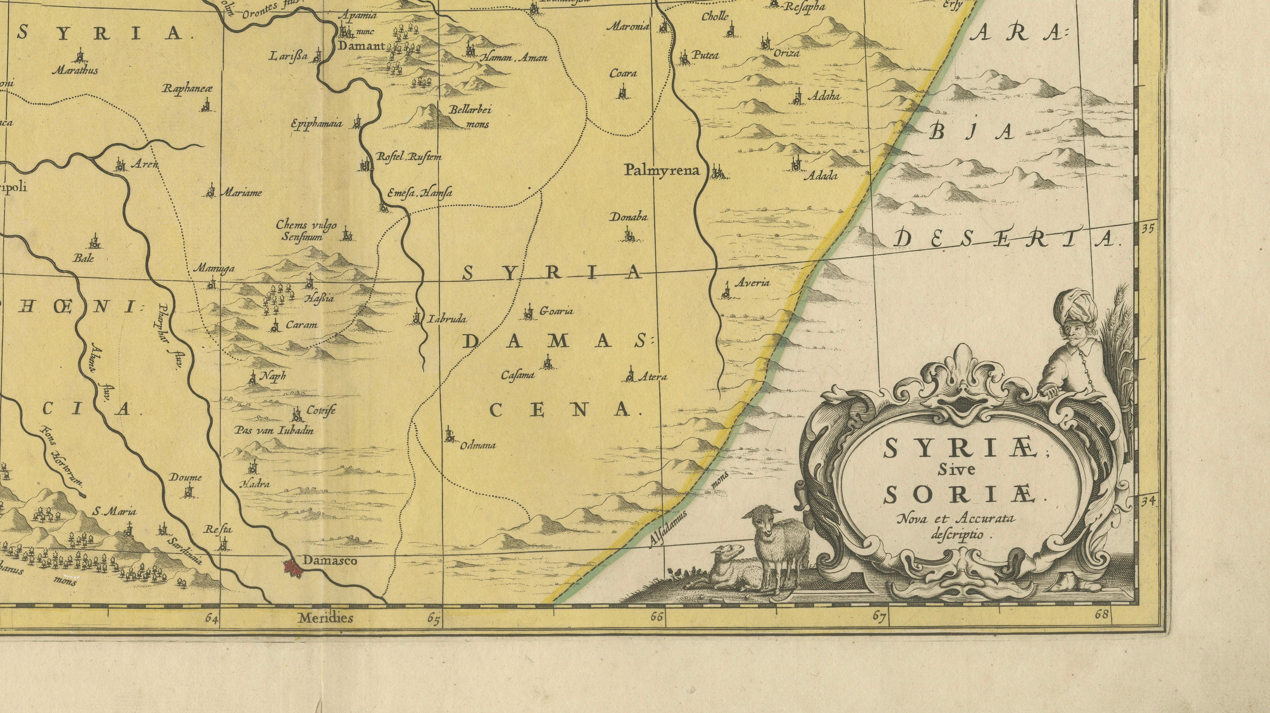
The composition is clean and well balanced, with finely engraved mountain ranges, rivers, and settlements. A decorative cartouche in the lower right enhances the visual appeal, while the original hand coloring clearly distinguishes geographic regions.

Maps of the Eastern Mediterranean and the Levant remain consistently desirable, valued for both their historical significance and decorative presence.

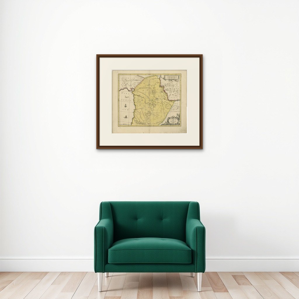
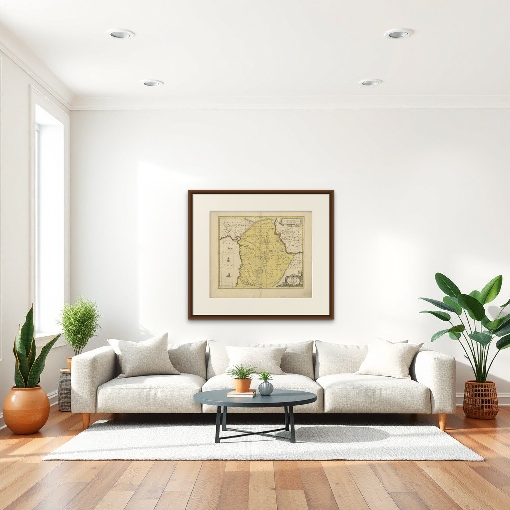
Note: Interior mockups shown are for visual inspiration only and do not represent the exact scale. We do not sell reproductions, only original works of art over 100 years old.

Framing tips: Ideal for a classic or study interior. Pair with a dark wood or black frame and a warm ivory mount to emphasize contrast and detail.

More from The Netherlands & Belgium

Ask about this sheet

Syria Map Valk & Schenk, Hand Colored Engraving, Amsterdam, c.1700
1700 · Ref. BG-14275-3 · € 695
We reply by email, usually within one working day.

Your favorites

Saved in this browser. Email the list to yourself to keep it on any device.

We use your email to send this list and, only if you tick the box and confirm, for occasional new arrivals. Every email has an unsubscribe link. Bartele Gallery, the Netherlands.