About this sheet
Roman Hispania Provinces Map — Decorative Classical Iberia, Wilkinson 1815
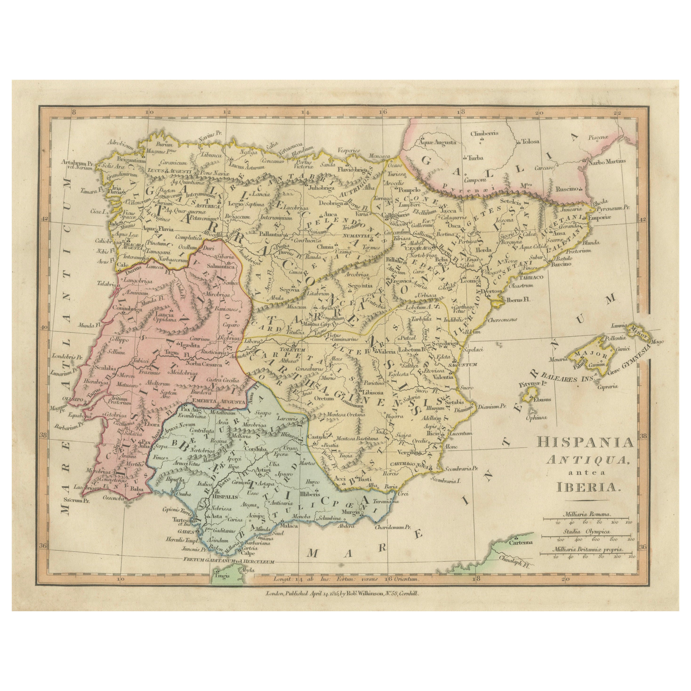
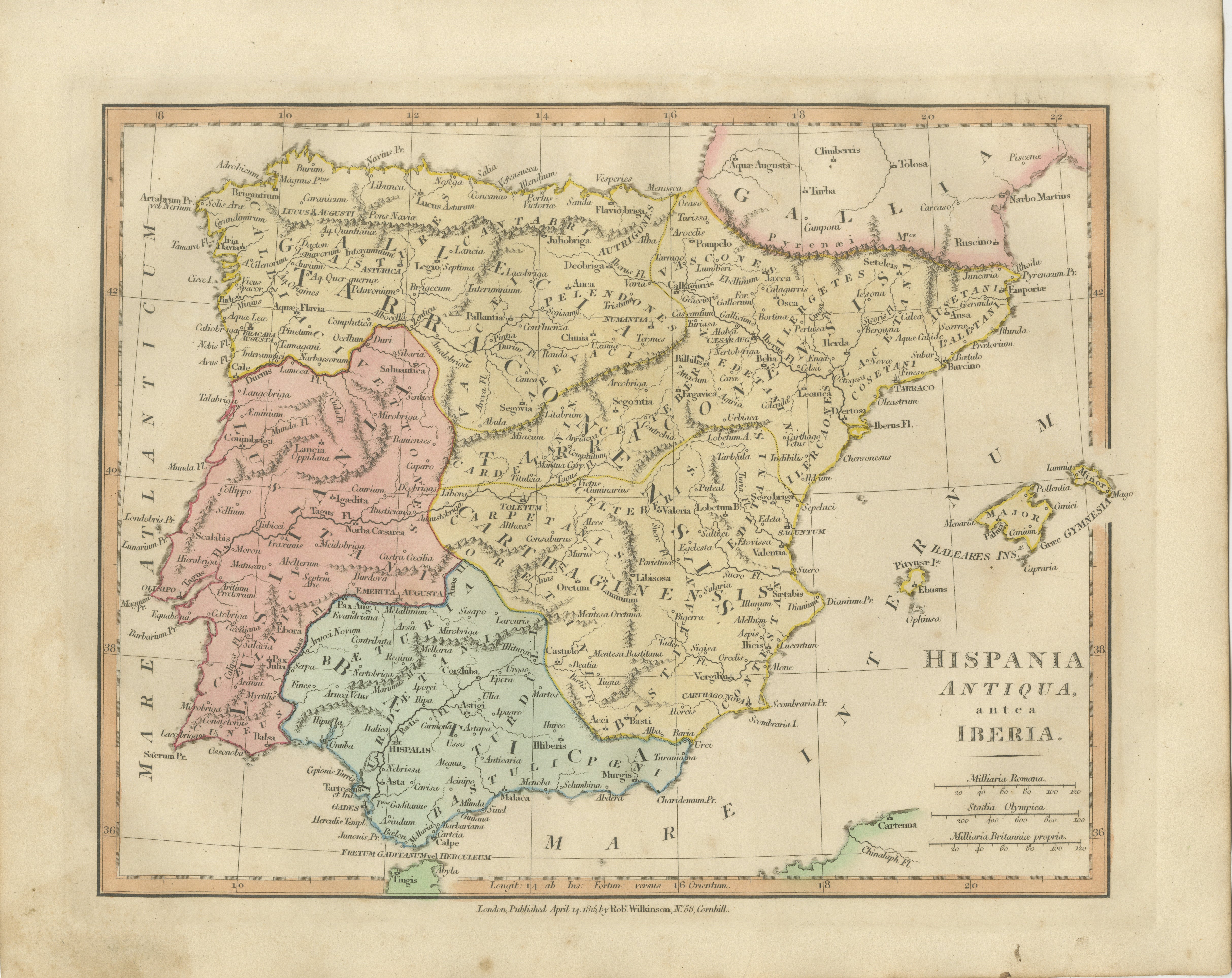
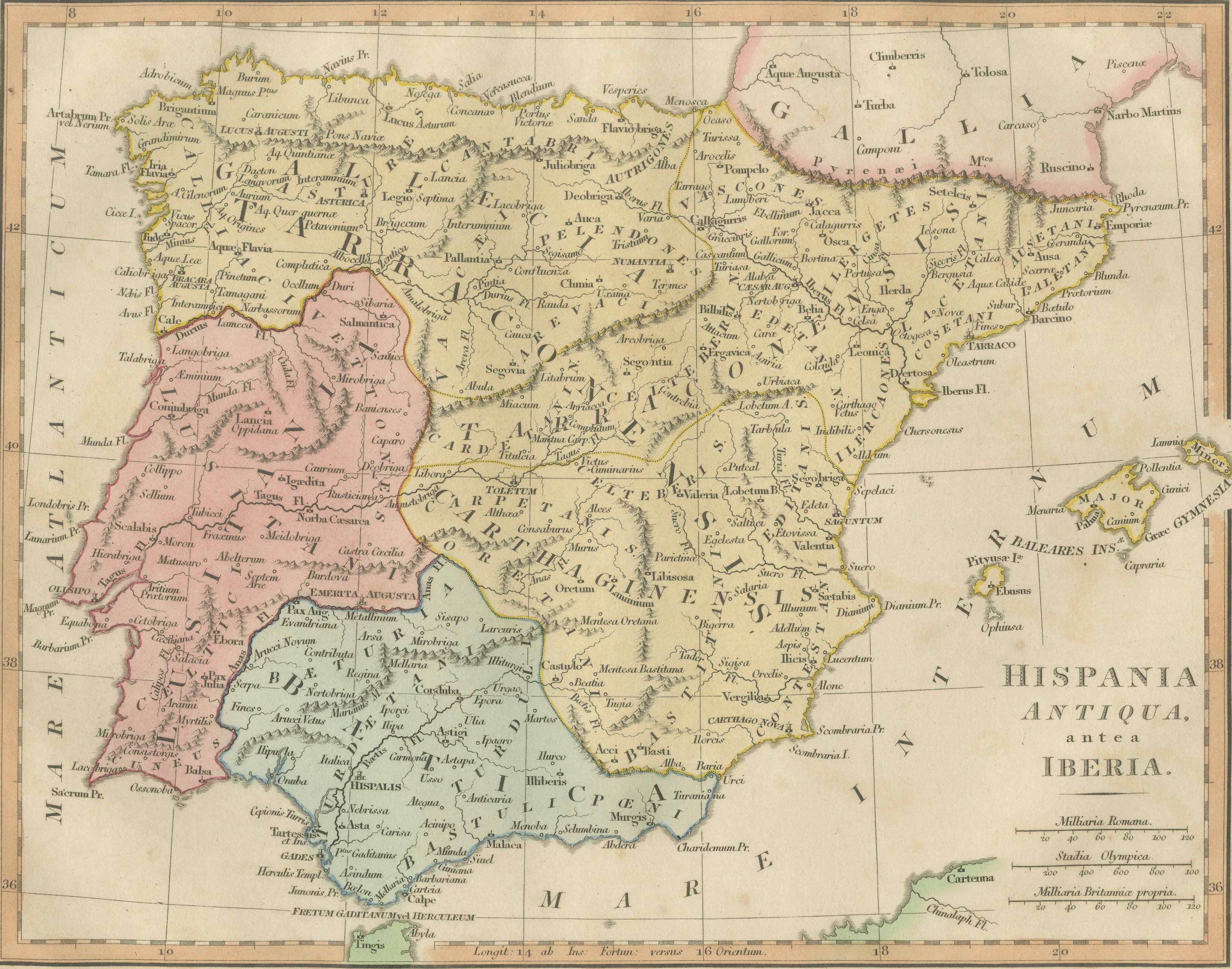
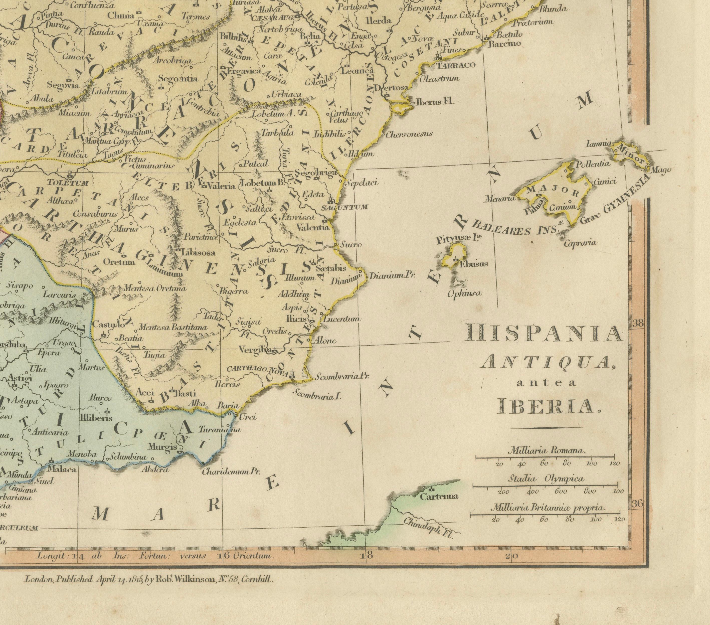
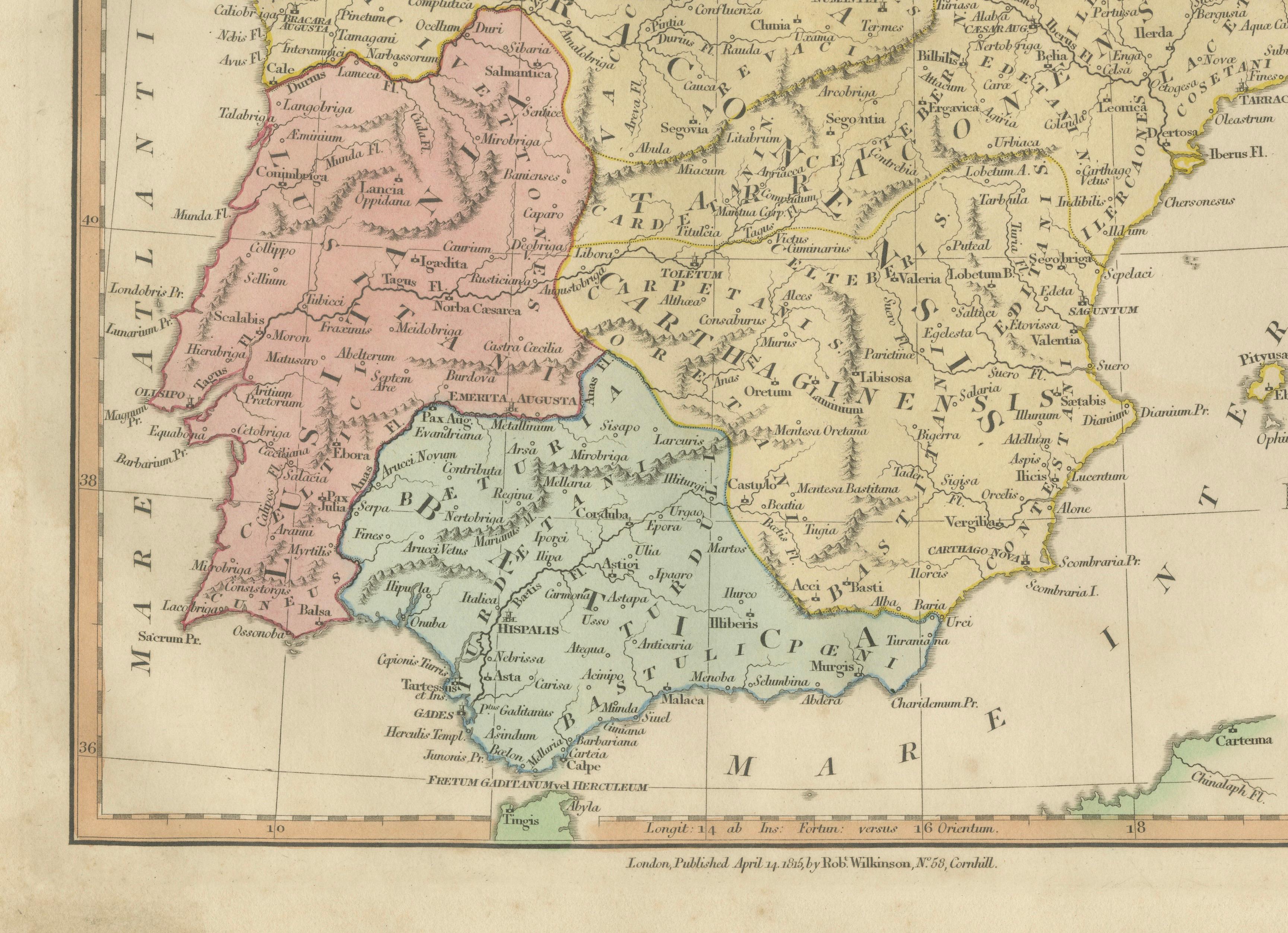
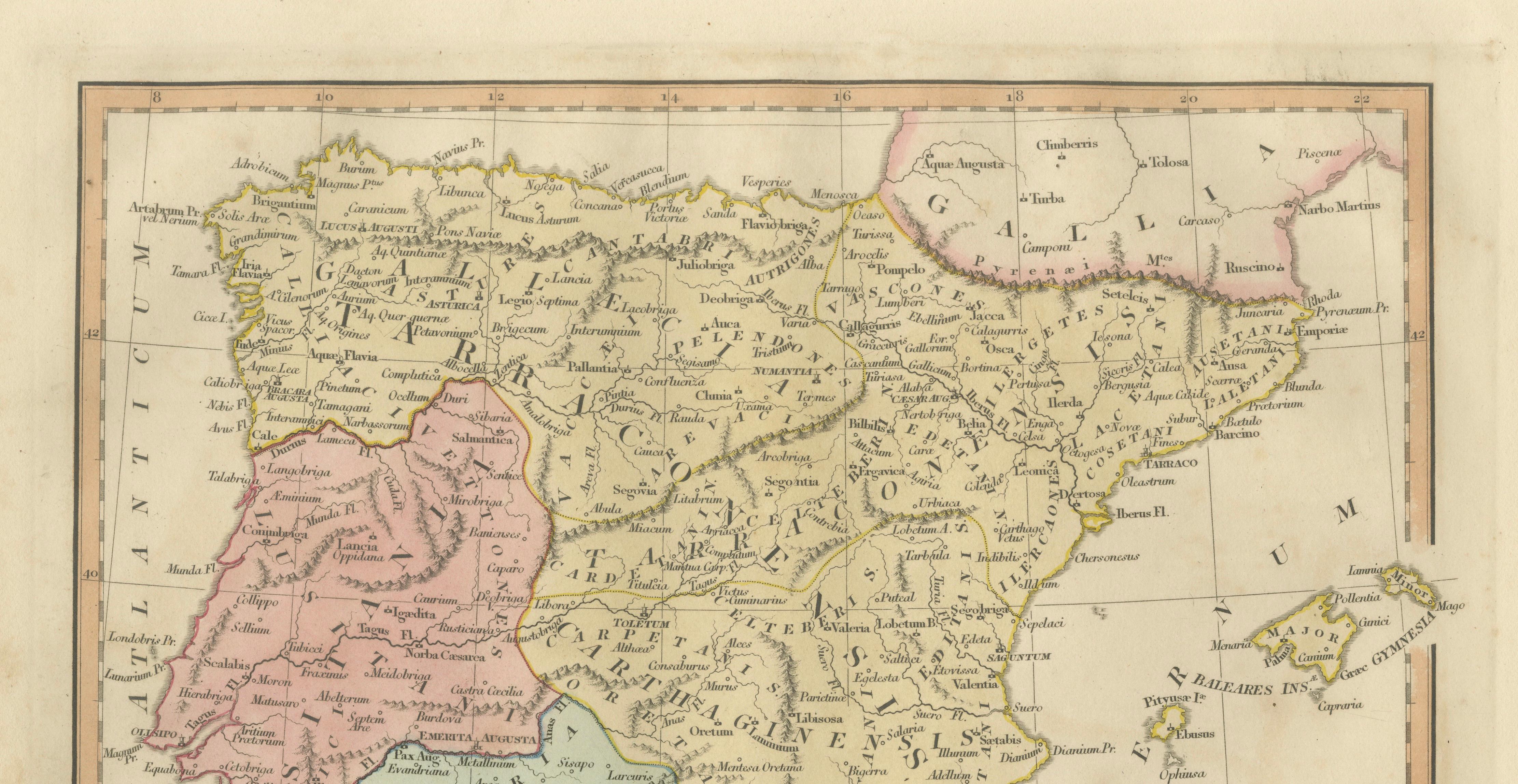
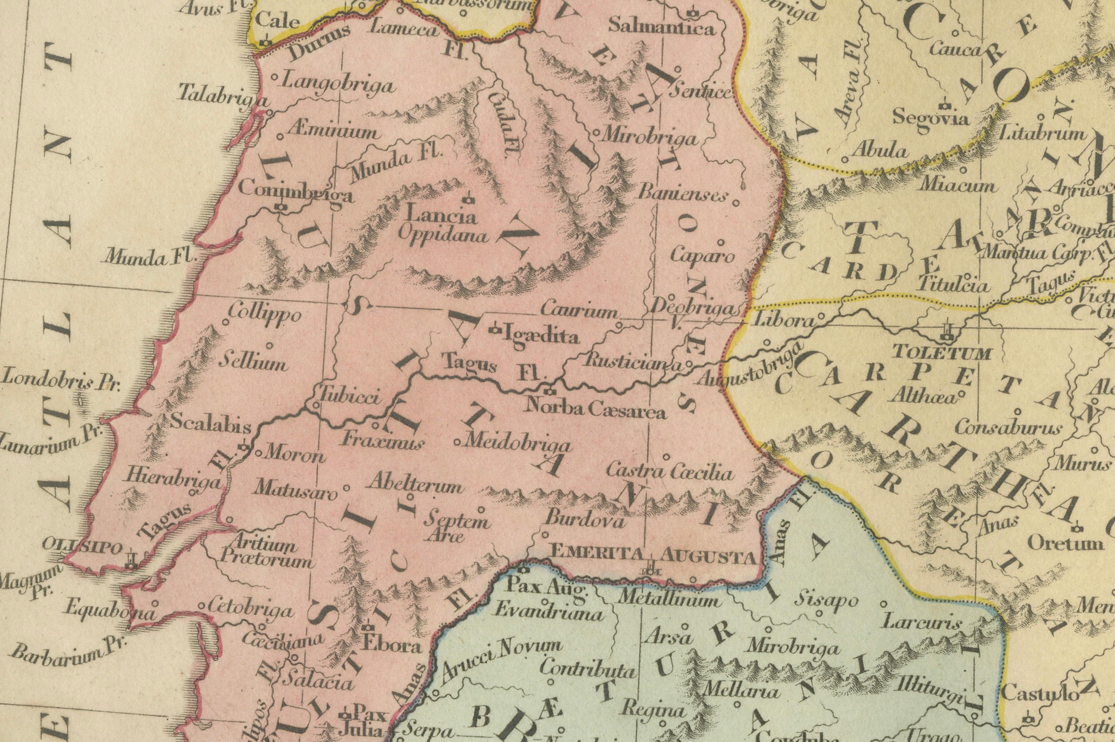
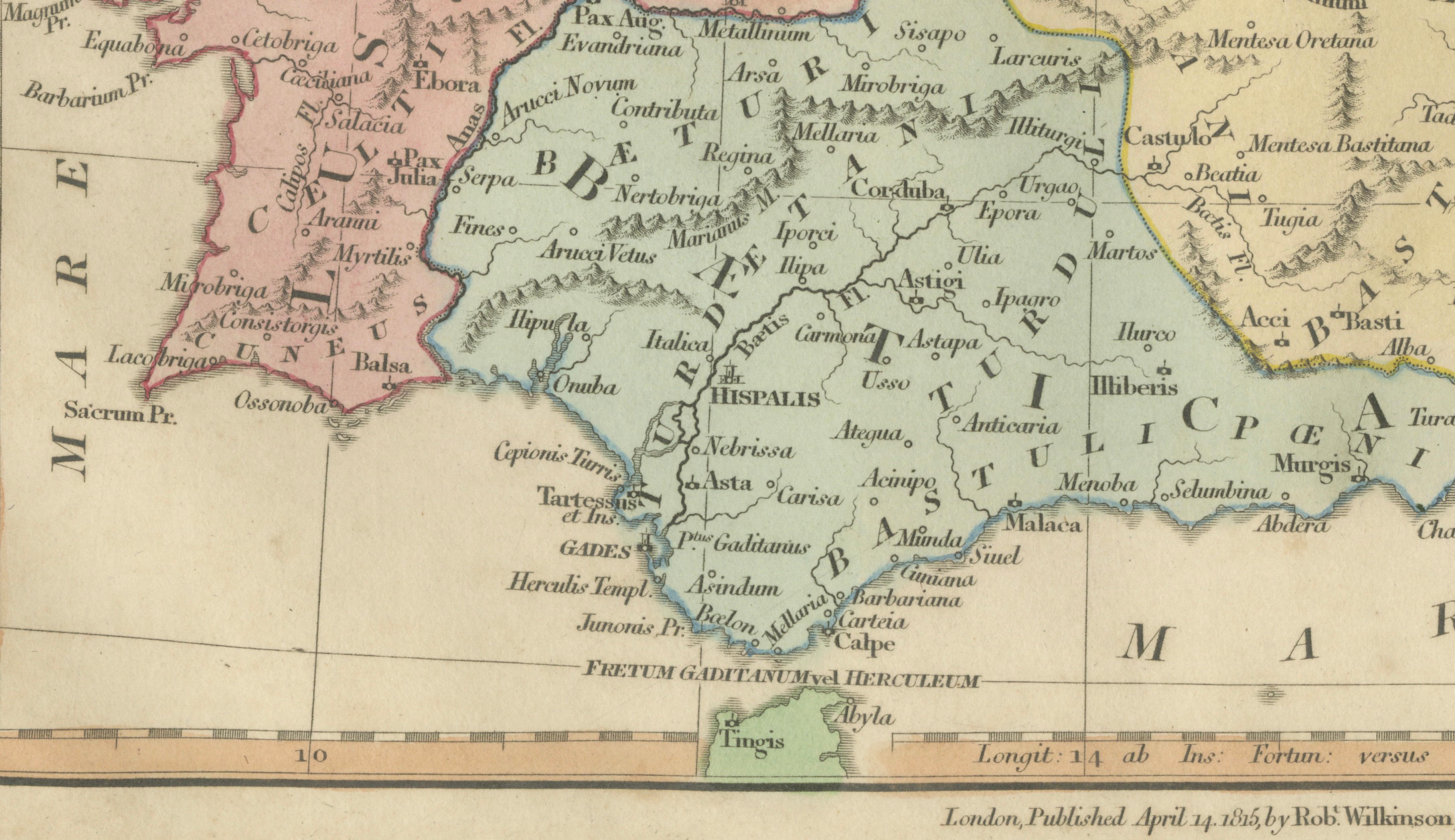
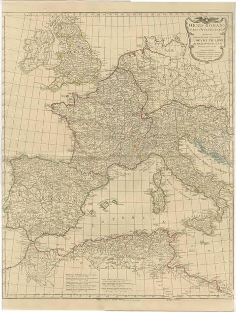
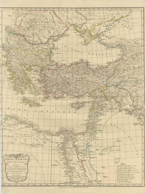
A finely engraved and delicately hand-colored classical map titled Hispania Antiqua, antea Iberia, published in London in 1827 by Robert Wilkinson. This decorative historical map presents the Iberian Peninsula through the lens of classical antiquity, depicting Roman Hispania divided into its ancient provinces with remarkable clarity and elegance. Combining scholarly cartography with refined aesthetic appeal, the plate reflects the early nineteenth-century fascination with classical geography and the rediscovery of ancient sources through Enlightenment scholarship.
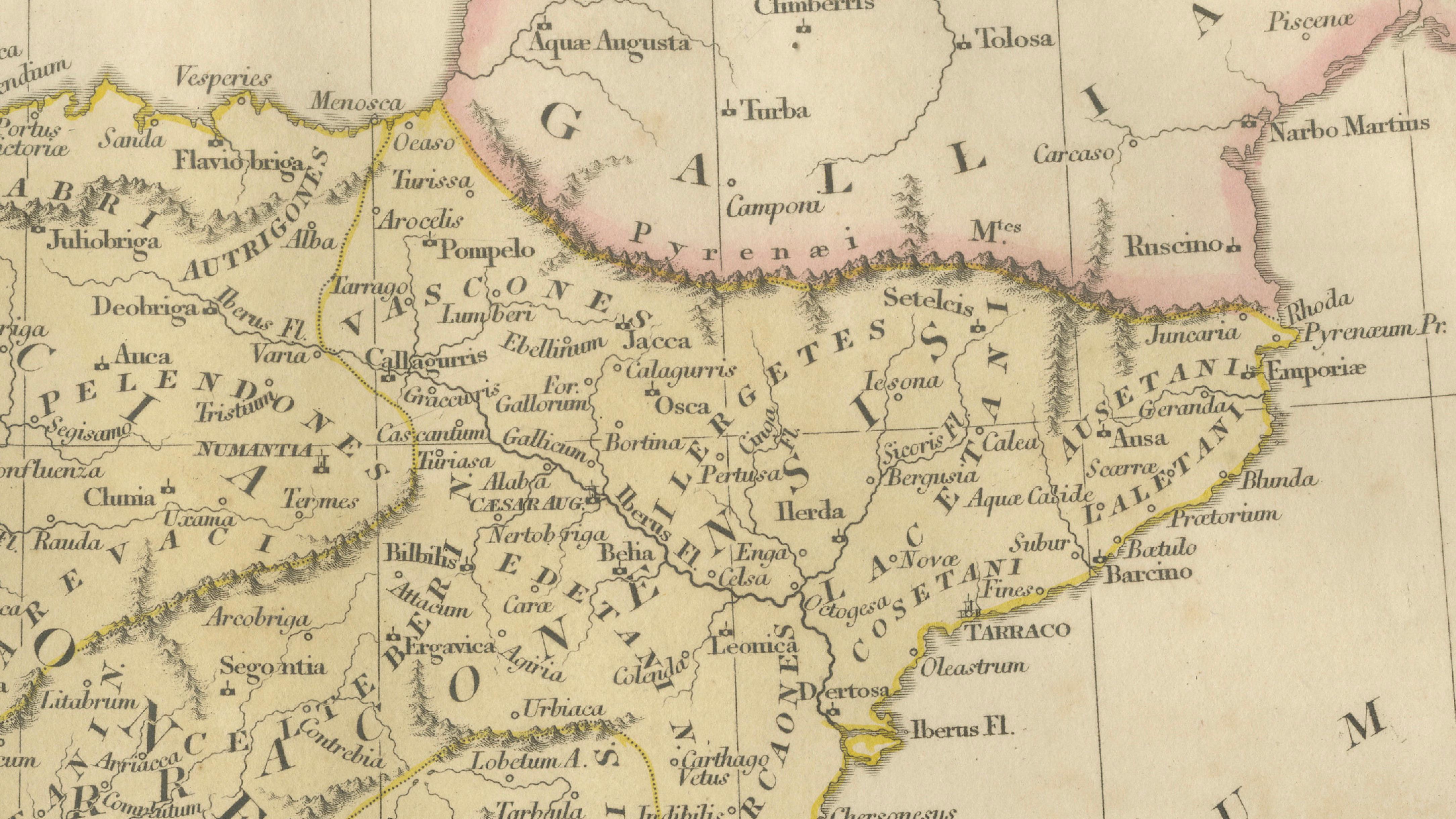
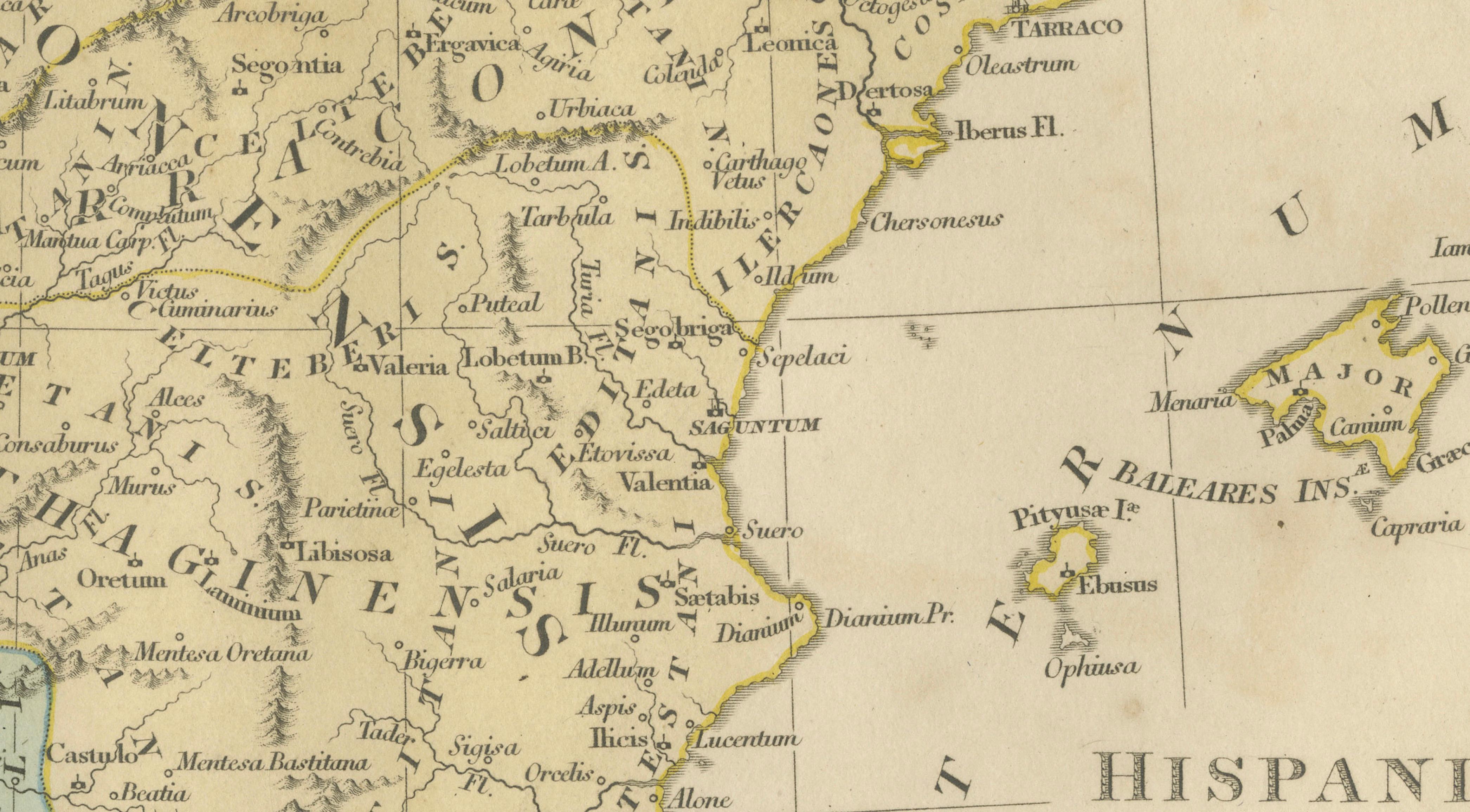
The map illustrates the Roman administrative divisions across Spain and Portugal, including Baetica, Lusitania, Tarraconensis, and surrounding territories, alongside detailed coastal outlines, rivers, and numerous ancient settlements rendered with crisp engraved lettering. Provincial borders are highlighted in subtle period hand-coloring, allowing the viewer to visually distinguish the territorial organization of the Roman Empire in Iberia. Major classical cities, roads, and geographic features are carefully identified, providing insight into the historical landscape as understood through ancient authors such as Ptolemy and Strabo.
Produced during a period when educational atlases and classical reference works enjoyed great popularity among scholars and educated collectors, Wilkinson’s maps were designed to combine historical accuracy with decorative appeal suitable for display. The engraving style is precise and balanced, with generous margins and a clean typographic layout that lends itself beautifully to framing. Today, such maps are appreciated not only by collectors of antique cartography but also by designers and historians interested in classical antiquity, Roman provincial organization, and the visual culture of early nineteenth-century educational publishing.
This example retains attractive original hand-coloring and displays particularly well due to its harmonious composition and soft palette. It is suitable as a standalone decorative piece or as part of a curated gallery wall featuring classical maps of the ancient world.
Condition: Overall good antique condition with age-related toning and light foxing, primarily visible in the margins. Minor handling marks consistent with age. Plate mark visible. Blank verso.
Framing tips: Display beautifully in a dark walnut, black, or gilt frame with an ivory or warm off-white mat. A generous mat border enhances the delicate engraving lines and highlights the subtle hand-coloring, creating a refined classical presence suitable for both traditional and contemporary interiors.
Technique: Engraving with original hand coloring
Maker: Robert Wilkinson, London, 1827
Keywords: Roman Hispania, Hispania Antiqua, Iberia, Iberian Peninsula, Roman Spain, Roman Portugal, Baetica, Lusitania, Tarraconensis, Carthaginensis, Gallaecia, Cantabria, Asturia, Vascones, Celtiberia, Turdetania, Hispalis, Corduba, Emerita Augusta, Tarraco, Caesaraugusta, Toletum, Segovia, Valentia, Saguntum, Carthago Nova, Gades, Malaca, Italica, Asturica Augusta, Lucus Augusti, Bracara Augusta, Olisipo, Salmantica, Complutum, Numantia, Emporiae, Balearic Islands, Baleares Insulae, Majorca, Minorca, Pyrenees, Gallia Narbonensis, Mare Cantabricum, Mare Mediterraneum, Atlantic Ocean, ancient provinces Spain, Roman provinces Iberia, classical antiquity map, ancient geography Spain, Roman cartography Iberia, classical atlas map, historical Spain map, ancient Iberian cities, Roman settlements Iberia, Roman roads Spain, antique classical map Iberia, early nineteenth century atlas, London engraving 1827.