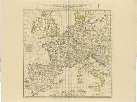
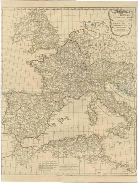
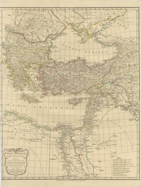
About this sheet
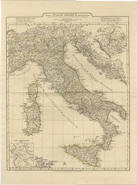
Classical Italy Antique Map — Italia Antiqua Roman Provinces & Cities, Wilkinson 1827
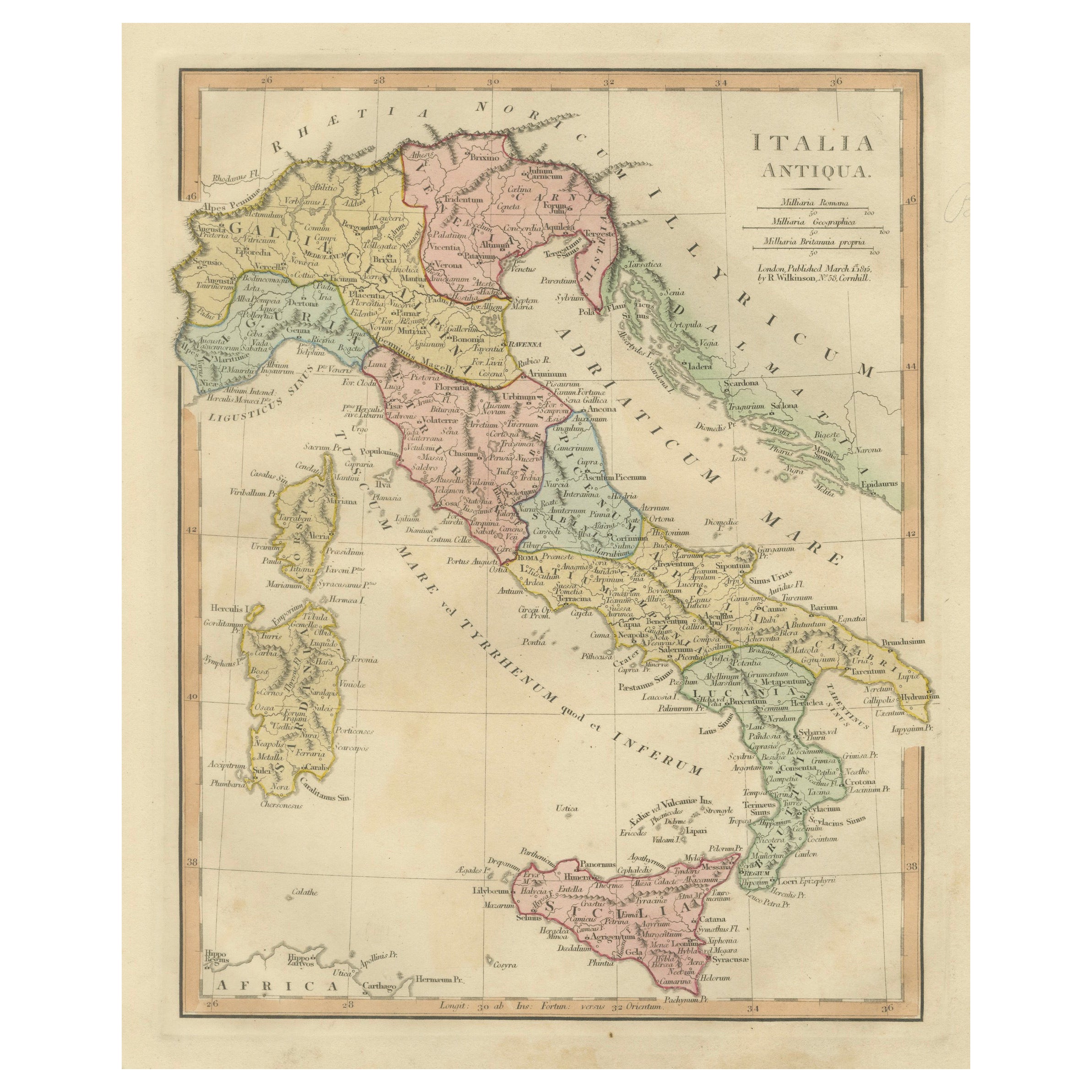
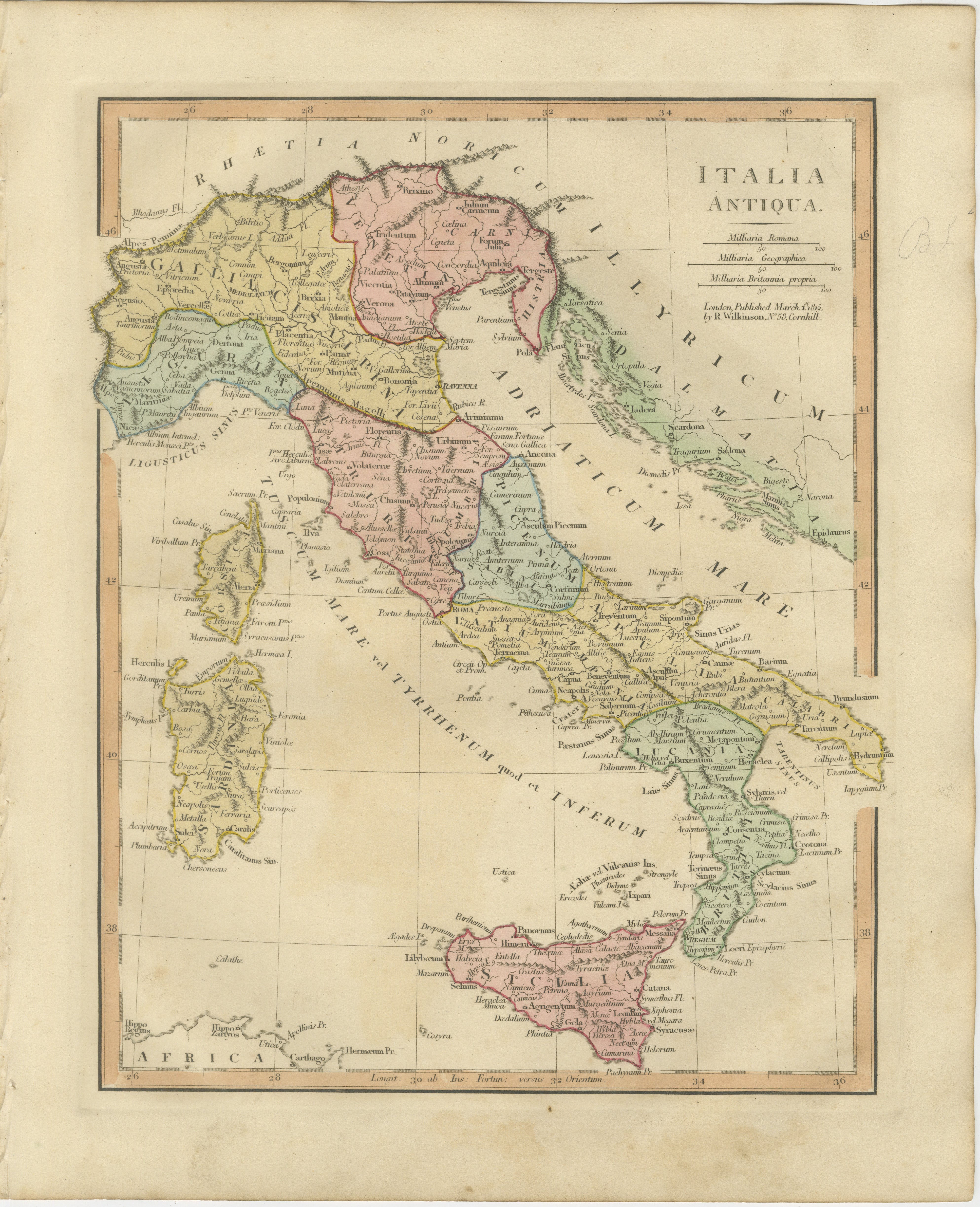
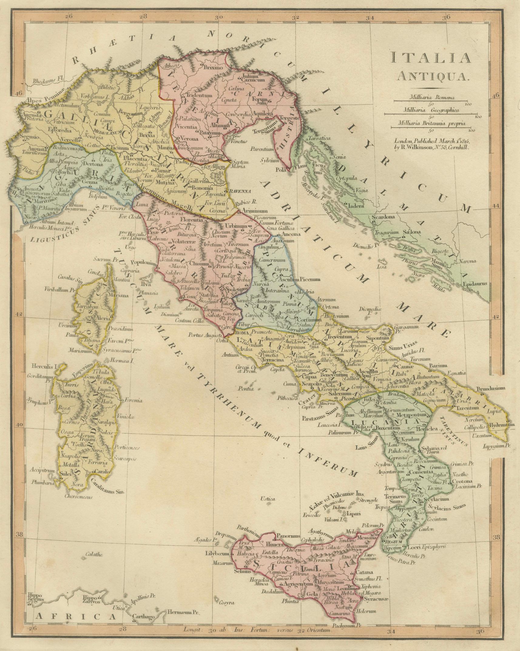
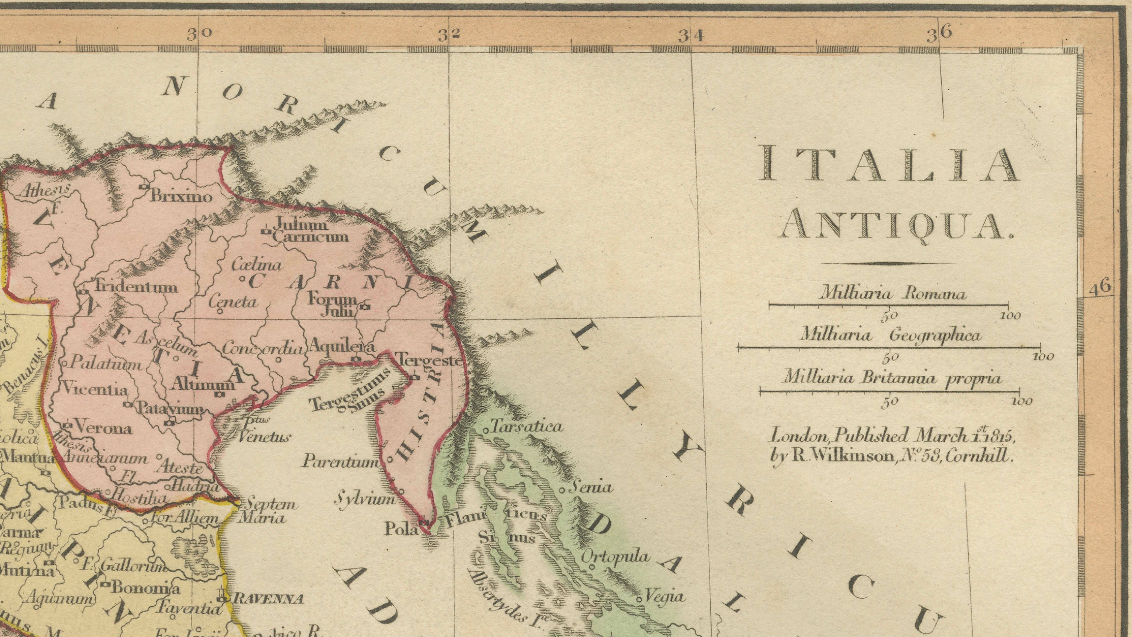
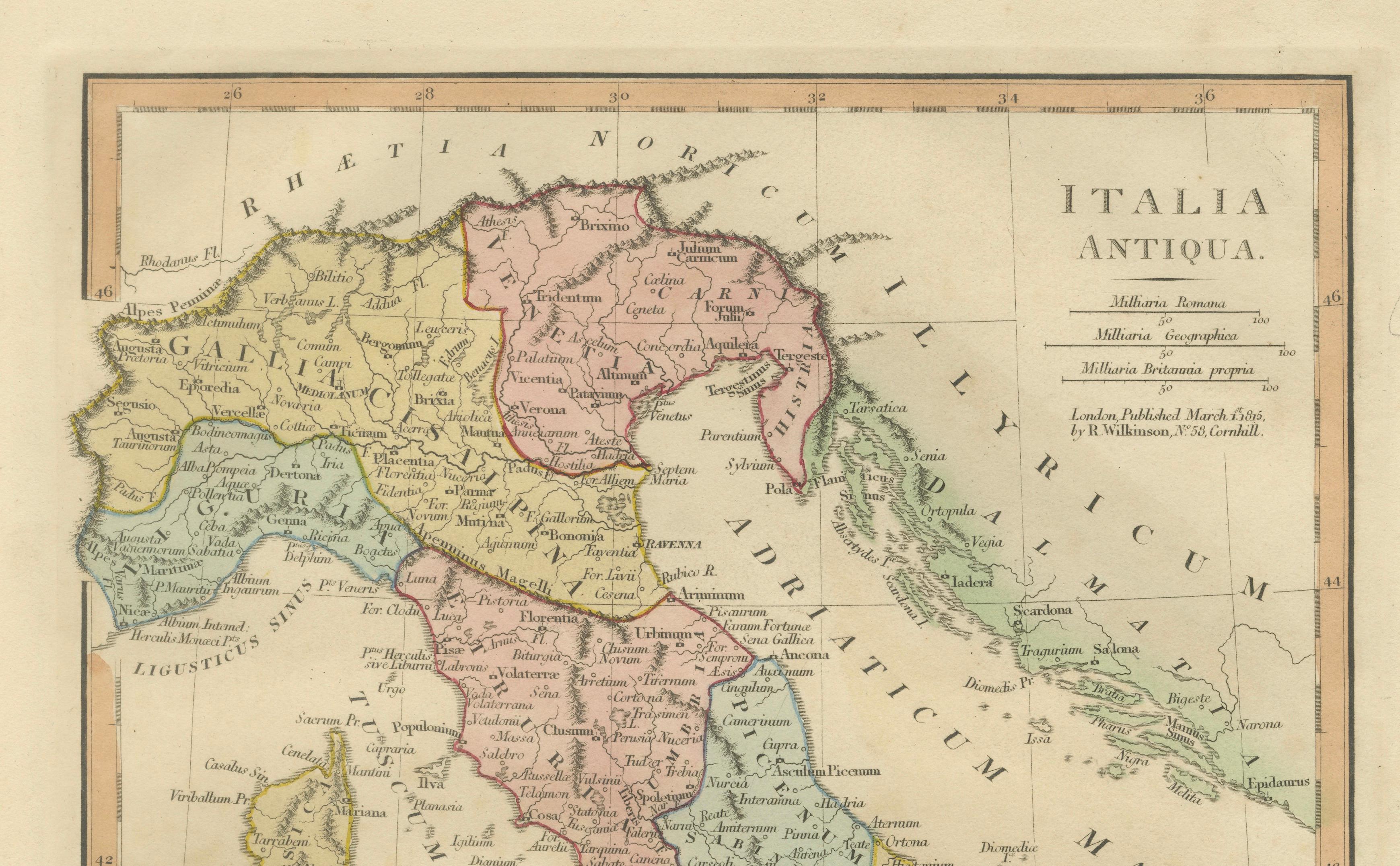
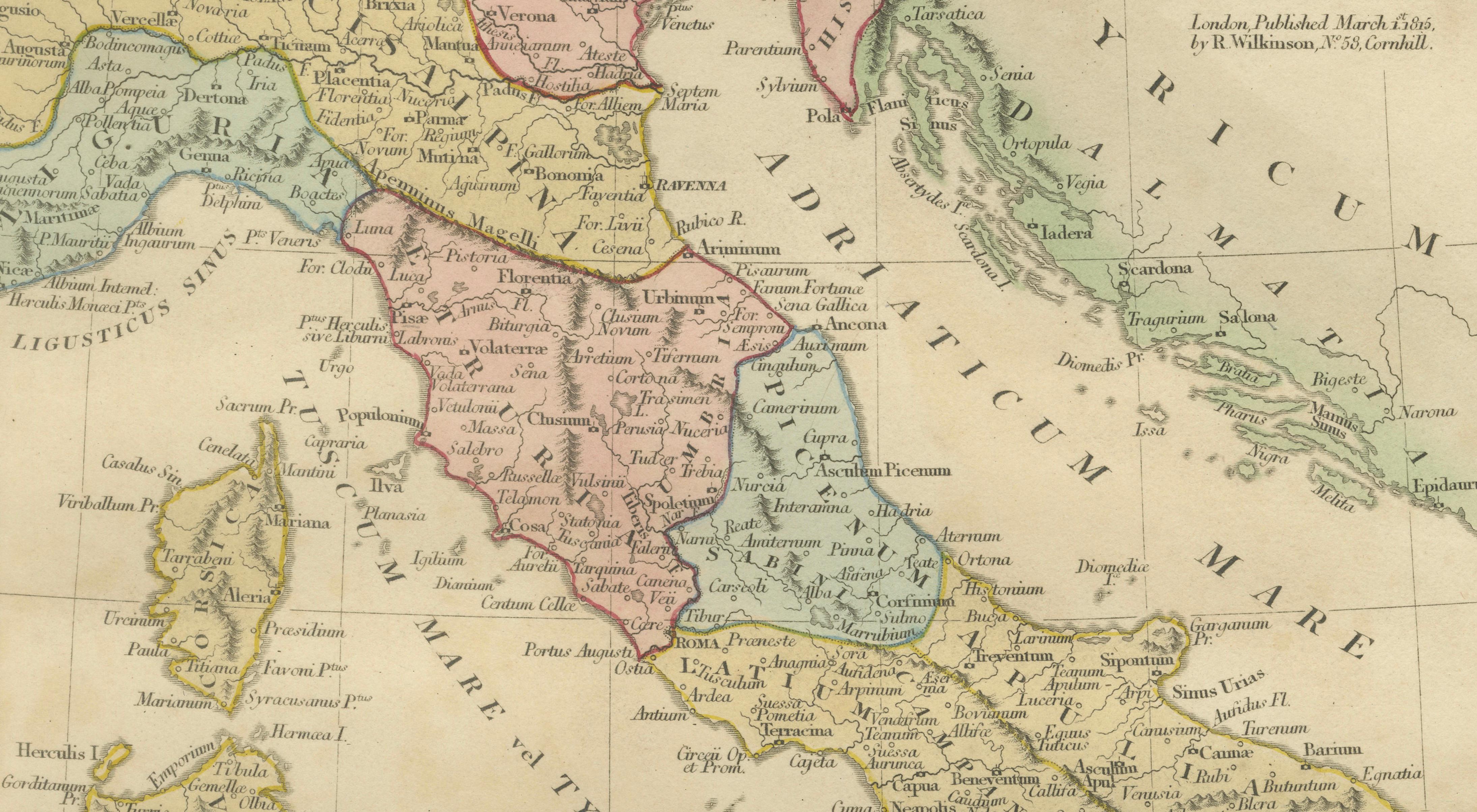
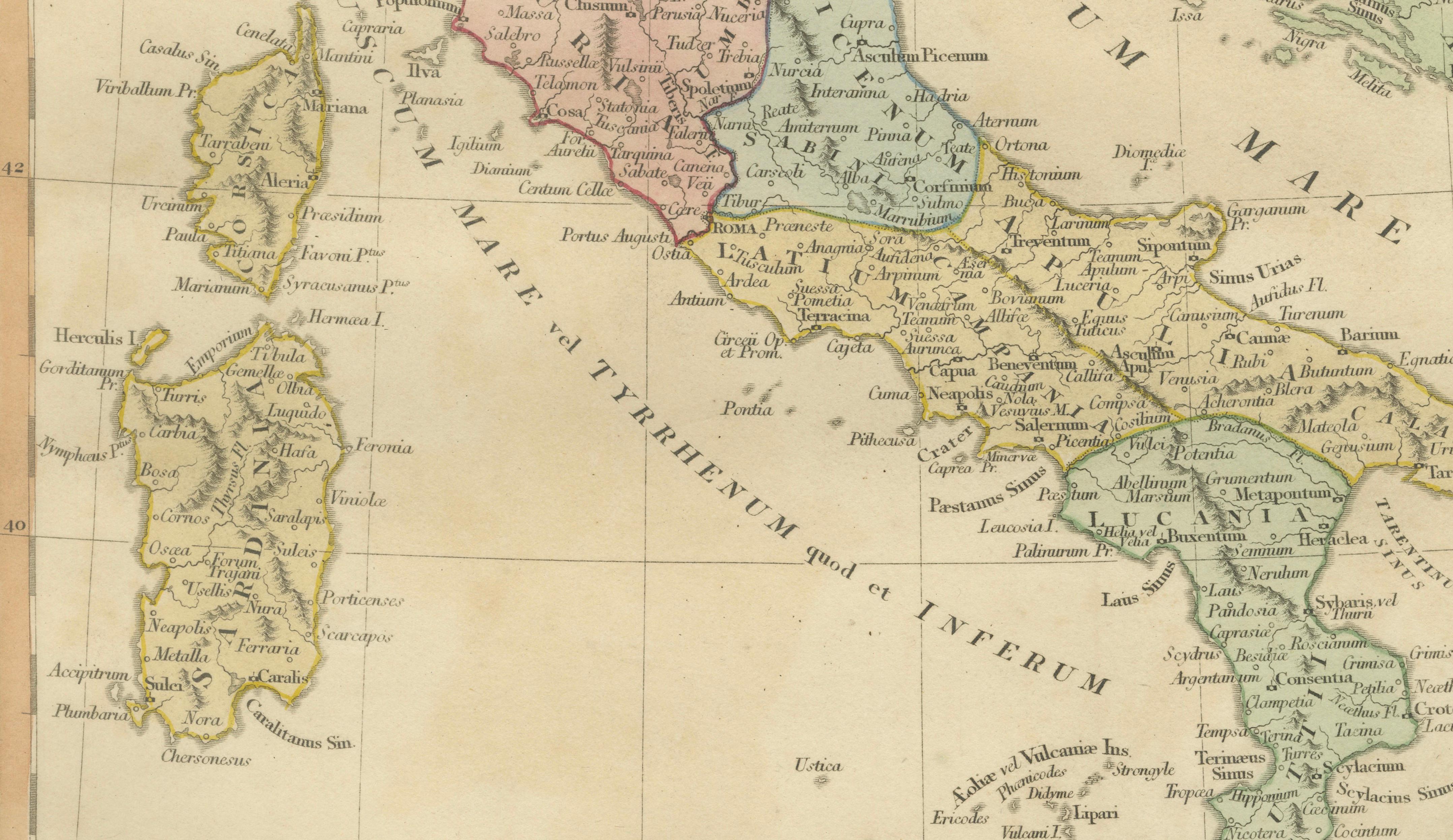
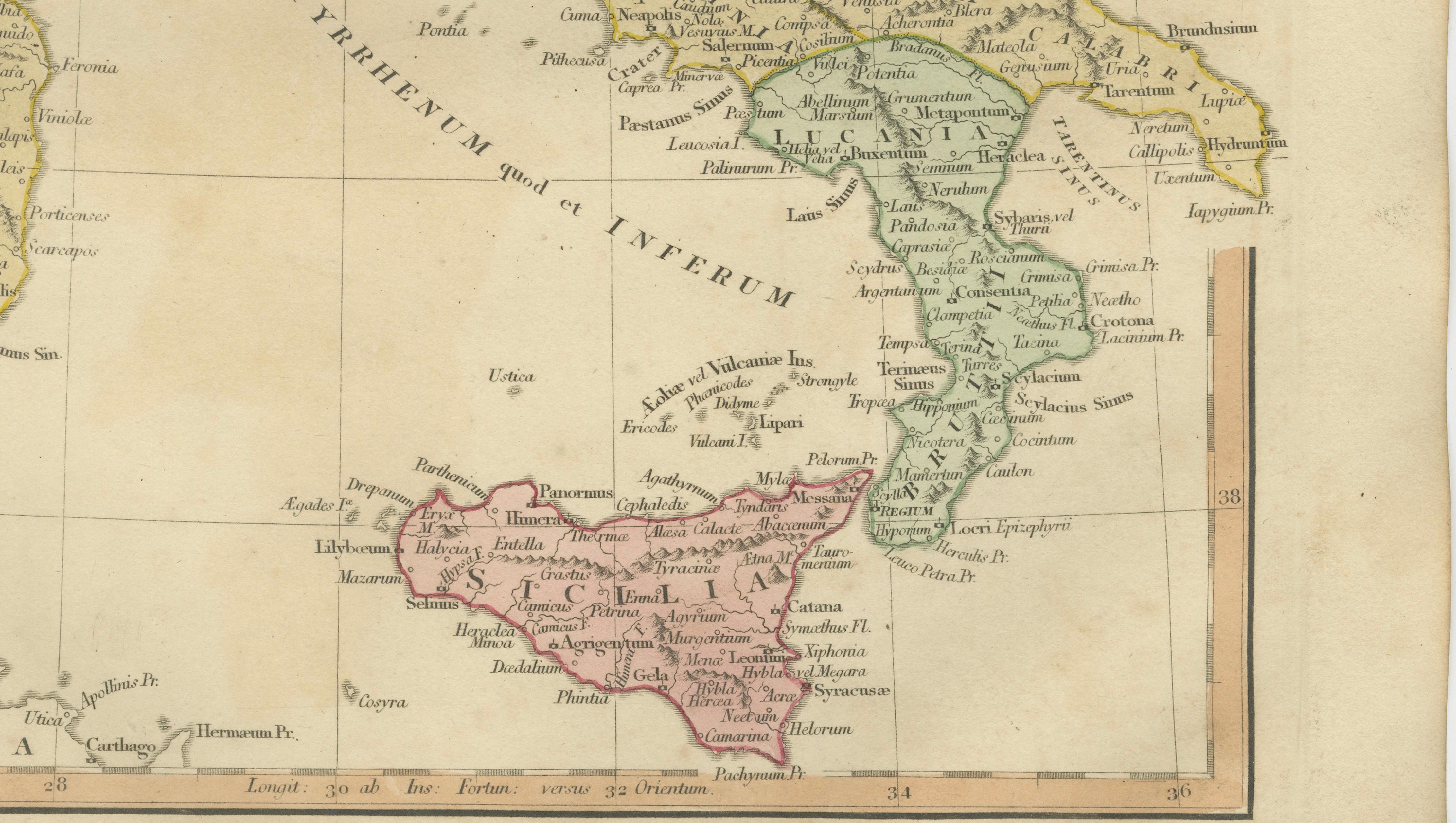
A finely engraved and hand-colored classical map titled Italia Antiqua, published in London by Robert Wilkinson in 1827, illustrating the geography and administrative divisions of ancient Italy during the Roman period. This elegant early nineteenth-century engraving reflects the scholarly revival of classical antiquity, presenting the Italian peninsula as understood through Roman historical sources and early modern classical cartography.
The map divides Italy into historic regions and provinces, including Etruria, Latium, Campania, Umbria, Picenum, Apulia, Calabria, and Venetia, each distinguished by delicate original hand coloring. The Alps form the northern boundary, while surrounding seas such as the Mare Tyrrhenum and Mare Adriaticum frame the peninsula, emphasizing Italy’s central role within the Mediterranean world.
Numerous classical cities appear across the map, including Roma, Florentia, Ravenna, Mediolanum, Neapolis, Tarentum, Capua, and Brundisium, offering insight into the Roman road network and settlement patterns. The islands of Sardinia, Corsica, and Sicilia are shown with equal clarity, reinforcing the strategic maritime geography of the Roman Republic and Empire.
Wilkinson’s London publications are known for their refined engraving style, balanced typography, and subtle hand coloring, making them highly appealing to collectors of classical maps as well as interior designers seeking historically inspired decorative pieces. The restrained pastel palette and clean cartographic layout allow this map to function equally as an academic reference and as an elegant decorative artwork suitable for traditional or contemporary interiors.
The composition highlights both geographic clarity and aesthetic balance, making it an excellent example of early nineteenth-century classical atlas production.
Condition: Good antique condition with age-appropriate toning and light handling wear. Minor edge wear and light discoloration consistent with age. Plate mark visible.
Framing tips: Display beautifully in a dark walnut, ebonized, or gilded frame with a warm ivory mat. A wide mat border enhances the pastel provincial colors and emphasizes the fine engraved linework, ideal for classical or library-style interiors.
Keyword block:
Italia Antiqua, Roman Italy map, classical Italy, ancient Roman provinces Italy, Latium, Etruria, Campania, Umbria, Picenum, Apulia, Calabria, Venetia, Liguria, Samnium, Magna Graecia, Roma, Florentia Florence, Mediolanum Milan, Ravenna, Neapolis Naples, Tarentum Taranto, Capua, Brundisium Brindisi, Sicilia antiquity, Sardinia antique map, Corsica classical geography, Mare Tyrrhenum, Mare Adriaticum, Alps antiquity, Roman cartography Italy, classical atlas engraving, ancient Mediterranean map, Roman historical geography, Wilkinson London atlas, early nineteenth century engraving, classical decorative map.
Technique: Hand-colored engraving
Maker: Robert Wilkinson, London, 1827