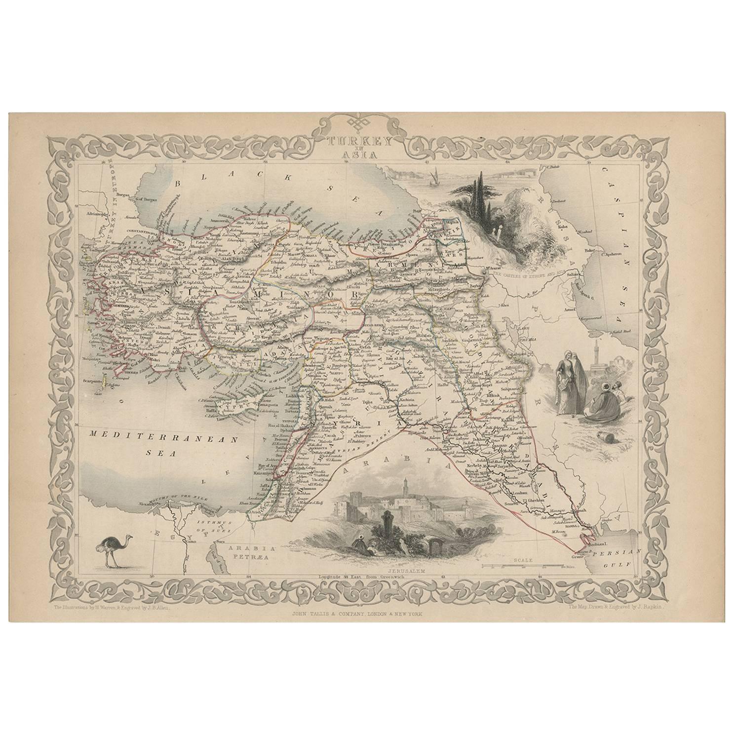
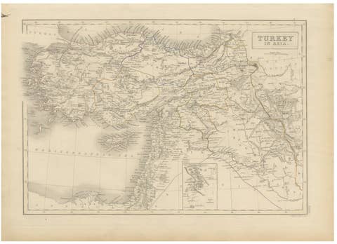
Turkey in Asia – Antique Ottoman Empire Map by John Tallis, ca. 1851
€ 221
Original antique · The actual sheet photographed · Certificate of authenticity on request · Sold unframed · Worldwide shipping from € 15 (rates)
Date
1851
Mapmaker / artist
John Tallis & Co., London & New York, circa 1851
Technique
Steel engraving with hand coloring
Sheet size
26.5 × 37.2 cm (10.4 × 14.6 in)
Condition
Good
Reference
BG-03535
What the condition grades mean
Excellent
Bright and clean, with no faults worth mentioning.
Very good
Only light signs of age, such as faint toning.
Good
Normal signs of age for a sheet of this period: toning, some foxing, small marks or neat old repairs.
Fair
Clear faults such as staining, tears or repairs, priced to match.
Every fault we see is written in the condition note, and the whole sheet is shown uncropped in the photos.
Condition
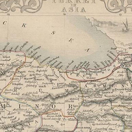
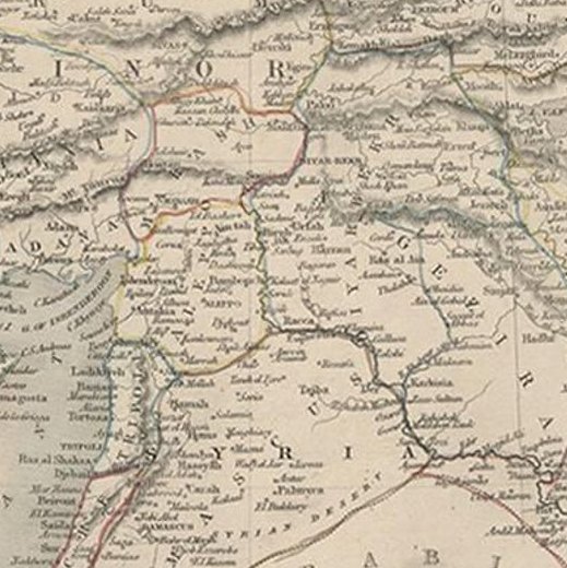
Impression with original outline hand coloring. Minor age toning, old folds as issued, and slight edge wear. No tears or significant staining.
About this sheet
Turkey in Asia – Antique Ottoman Empire Map by John Tallis, ca. 1851
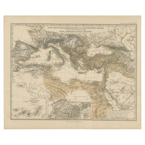
This decorative 19th-century map titled "Turkey in Asia" was published by John Tallis & Company around 1851. Engraved by the renowned cartographer J. Rapkin, with vignettes by H. Warren and J. Rogers, this map is one of the most visually striking representations of the Ottoman Empire’s Asian provinces produced during the Victorian era.
The map depicts an extensive region of the Middle East under Ottoman rule, including modern-day Turkey, Syria, Iraq, Lebanon, Jordan, Israel, and parts of Saudi Arabia and Iran. Cities, mountain ranges, rivers, and political boundaries are precisely rendered and enhanced with fine hand coloring. Place names such as Baghdad, Damascus, Mecca, and Jerusalem are clearly marked, providing a fascinating snapshot of the 19th-century geopolitical landscape.
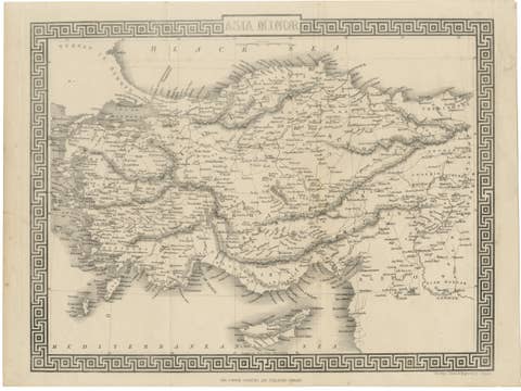
Surrounding the map is Tallis’s iconic ornamental border, and the plate is further enriched by finely engraved vignette illustrations. These include a view of Jerusalem, a camel in the Arabian desert, figures in traditional Bedouin and Middle Eastern dress, and a landscape of Mount Lebanon. These romanticized views were intended to appeal to European audiences fascinated by the exoticism of the Orient.
John Tallis’s maps are widely admired for their balance of cartographic detail and artistic embellishment. They were originally issued in Tallis’s “Illustrated Atlas,” which aimed to present up-to-date geographic knowledge alongside cultural and ethnographic illustrations. Maps from this series remain highly collectable today due to their aesthetic appeal and historical significance.
This map is a fine example for collectors of Ottoman history, antique cartography, or decorative 19th-century engravings. It is especially attractive for framing due to its vivid border, hand coloring, and rich engravings.
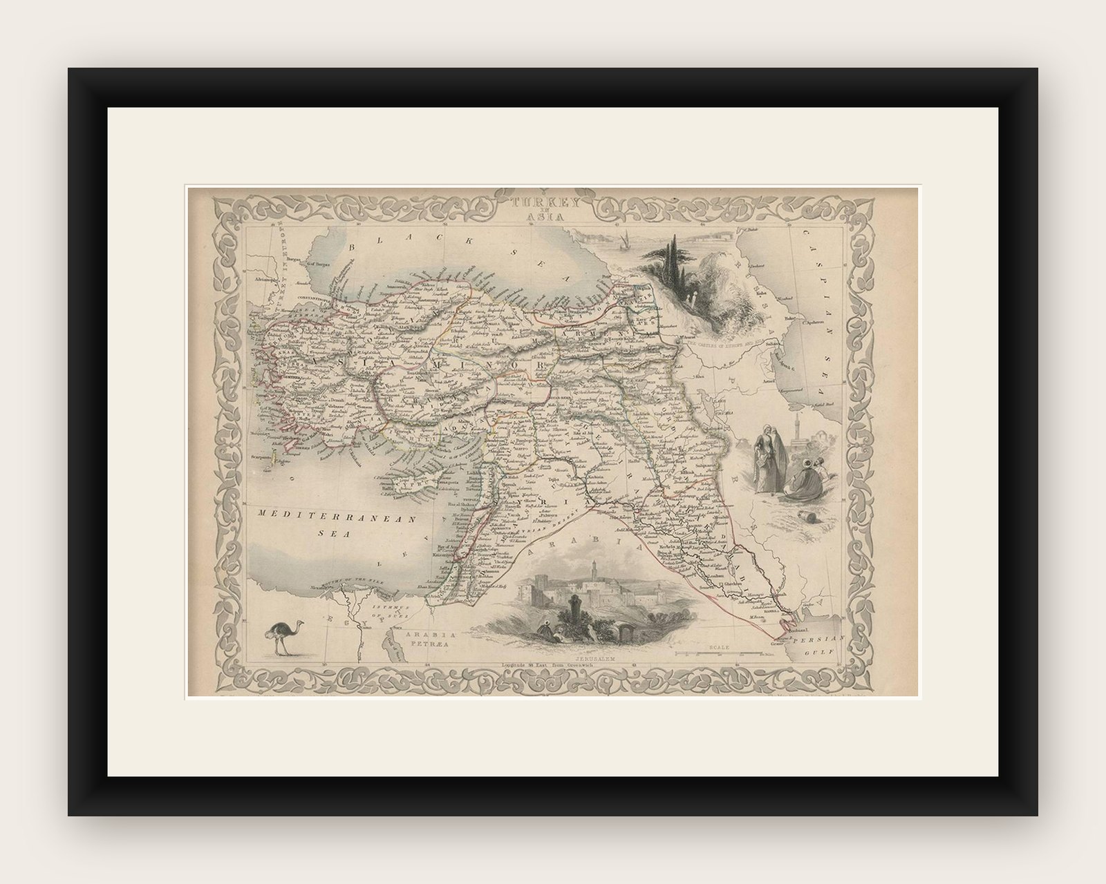
Framing tips: A warm, classic wood frame with a cream or antique white mat will highlight the decorative border. Consider museum glass for protection and clarity.