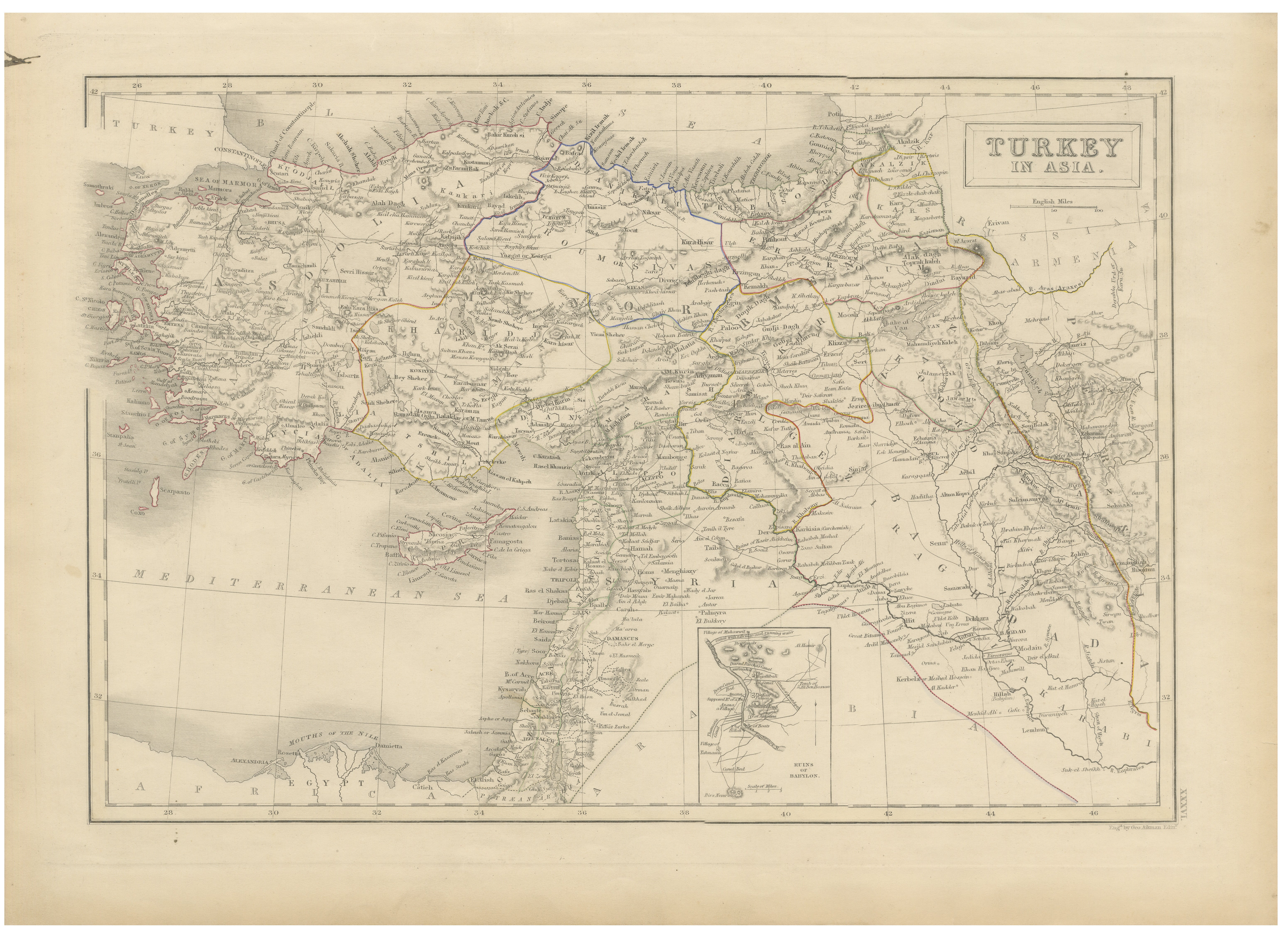
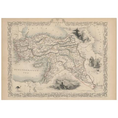
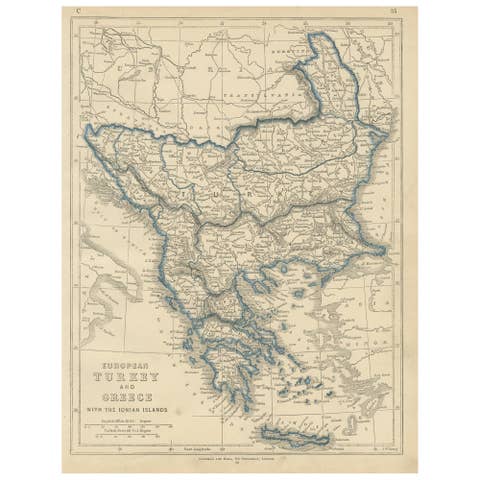
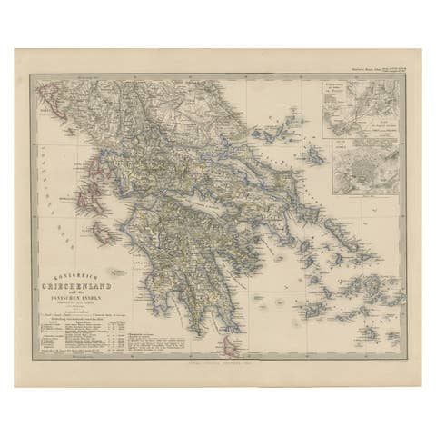
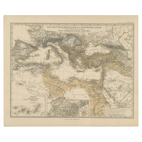
Antique Map of Turkey in Asia, Ottoman Empire Middle East, c. 1850
€ 380
Original antique · The actual sheet photographed · Certificate of authenticity on request · Sold unframed · Worldwide shipping from € 15 (rates)
Date
1850
Mapmaker / artist
English School, circa 1850
Technique
Steel engraving with original hand coloring
Sheet size
31.3 × 43.7 cm (12.3 × 17.2 in)
Condition
Good
Reference
BG-14279-77
What the condition grades mean
Excellent
Bright and clean, with no faults worth mentioning.
Very good
Only light signs of age, such as faint toning.
Good
Normal signs of age for a sheet of this period: toning, some foxing, small marks or neat old repairs.
Fair
Clear faults such as staining, tears or repairs, priced to match.
Every fault we see is written in the condition note, and the whole sheet is shown uncropped in the photos.
Condition
Good antique condition with light overall age toning, minor foxing, and light handling wear consistent with age. Original outline hand-coloring remains attractive and well preserved.
About this sheet
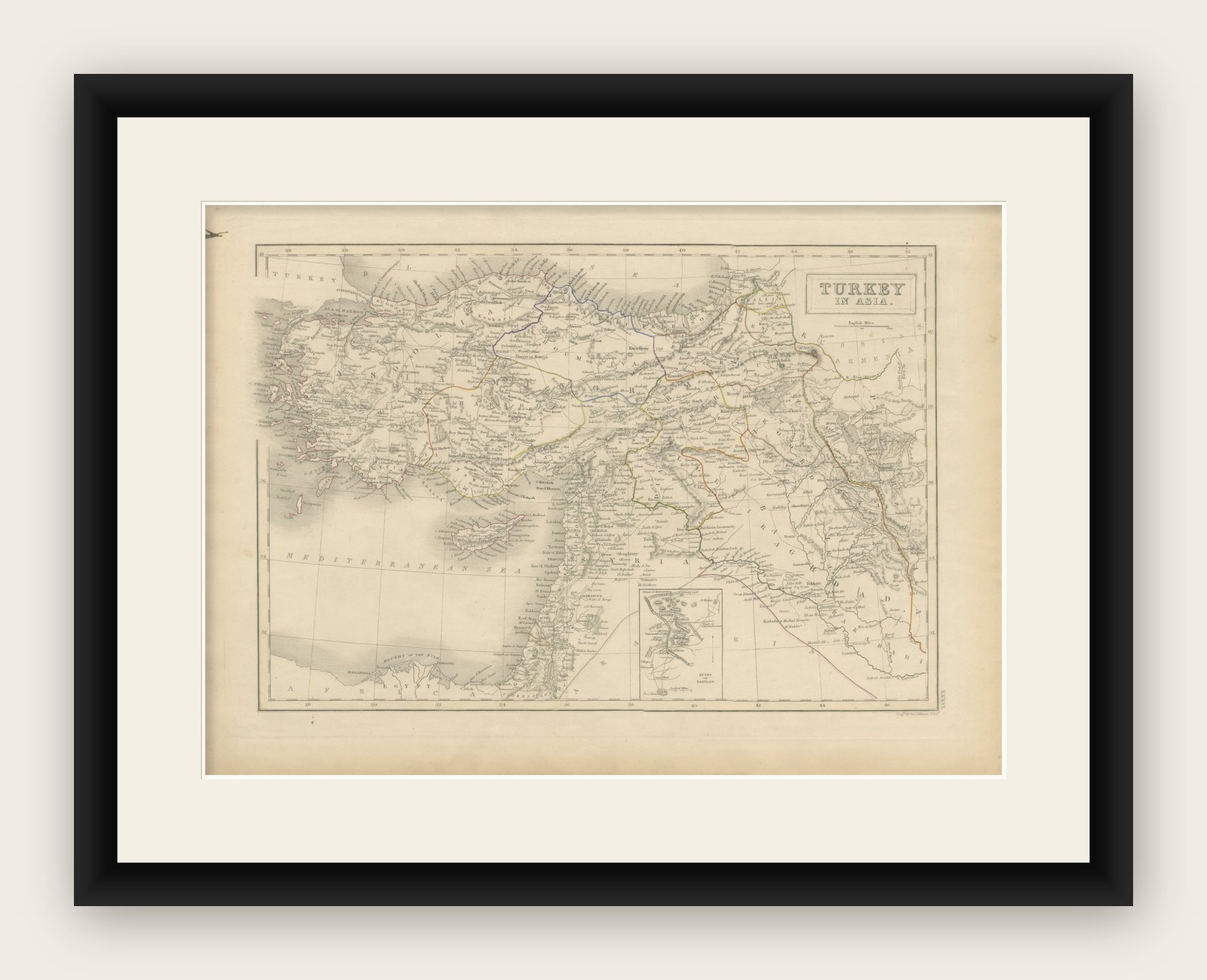
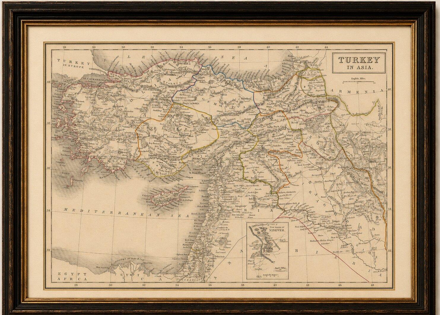
Antique Map of Turkey in Asia, Ottoman Empire Middle East, c. 1850
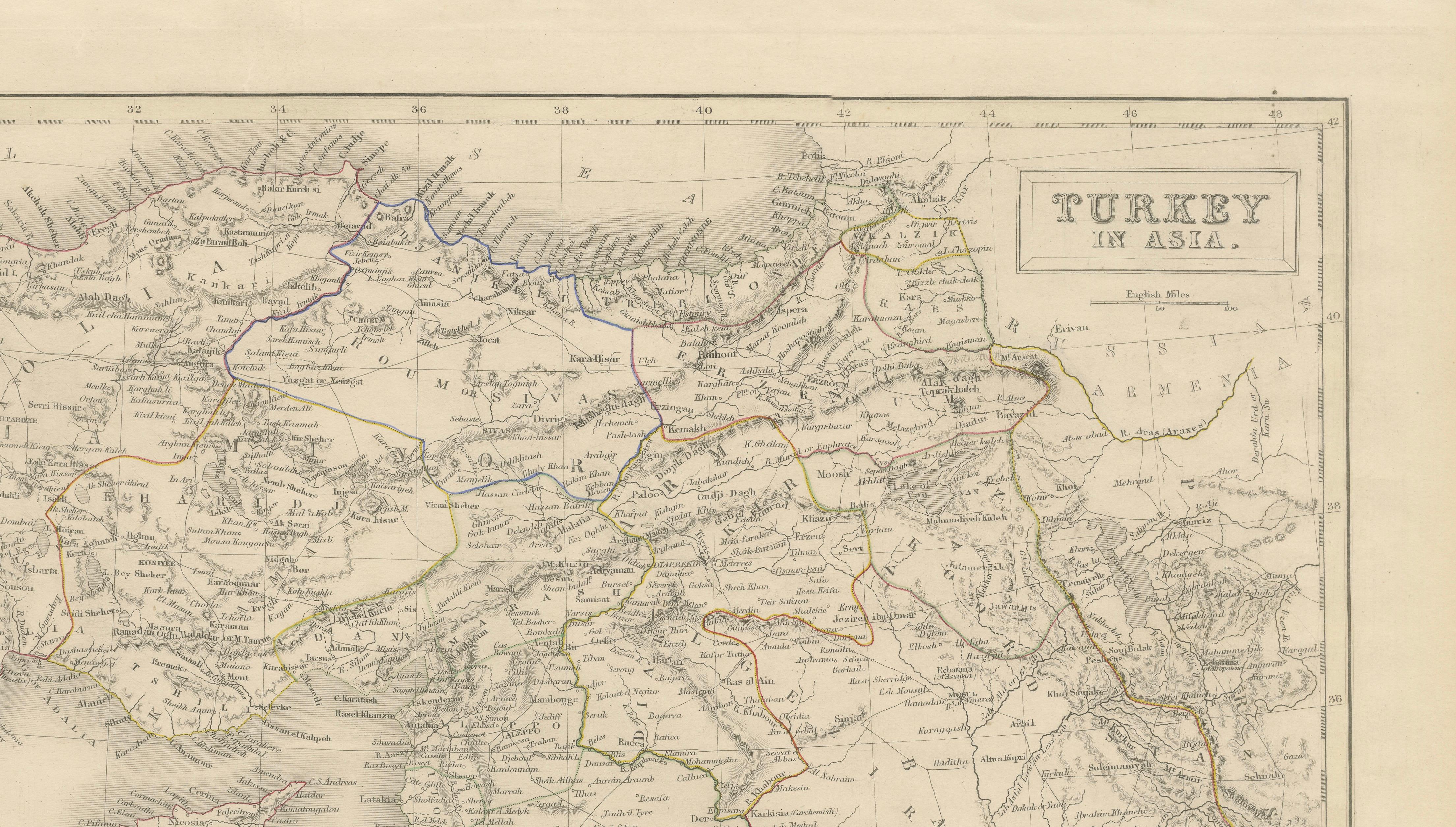
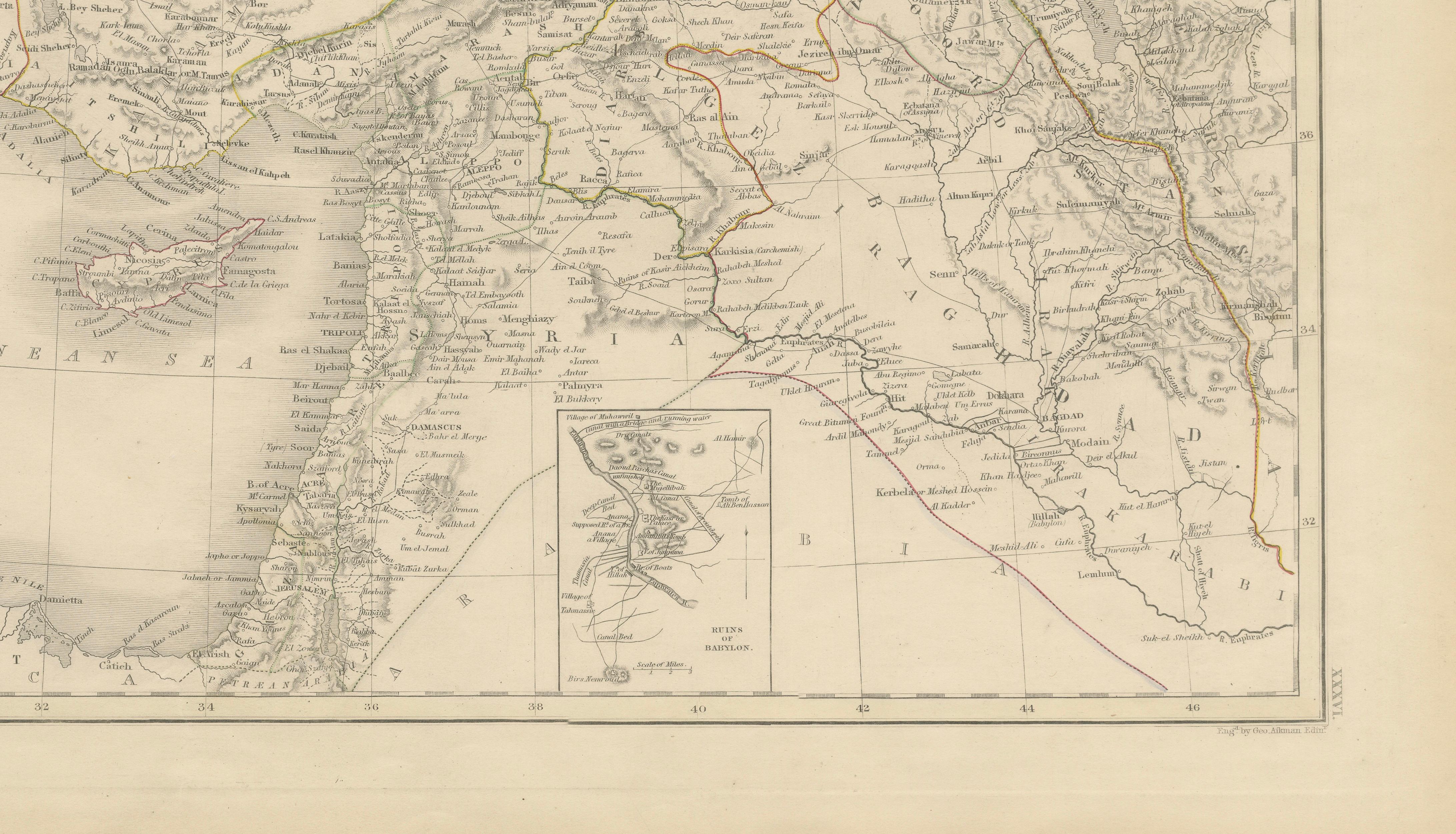
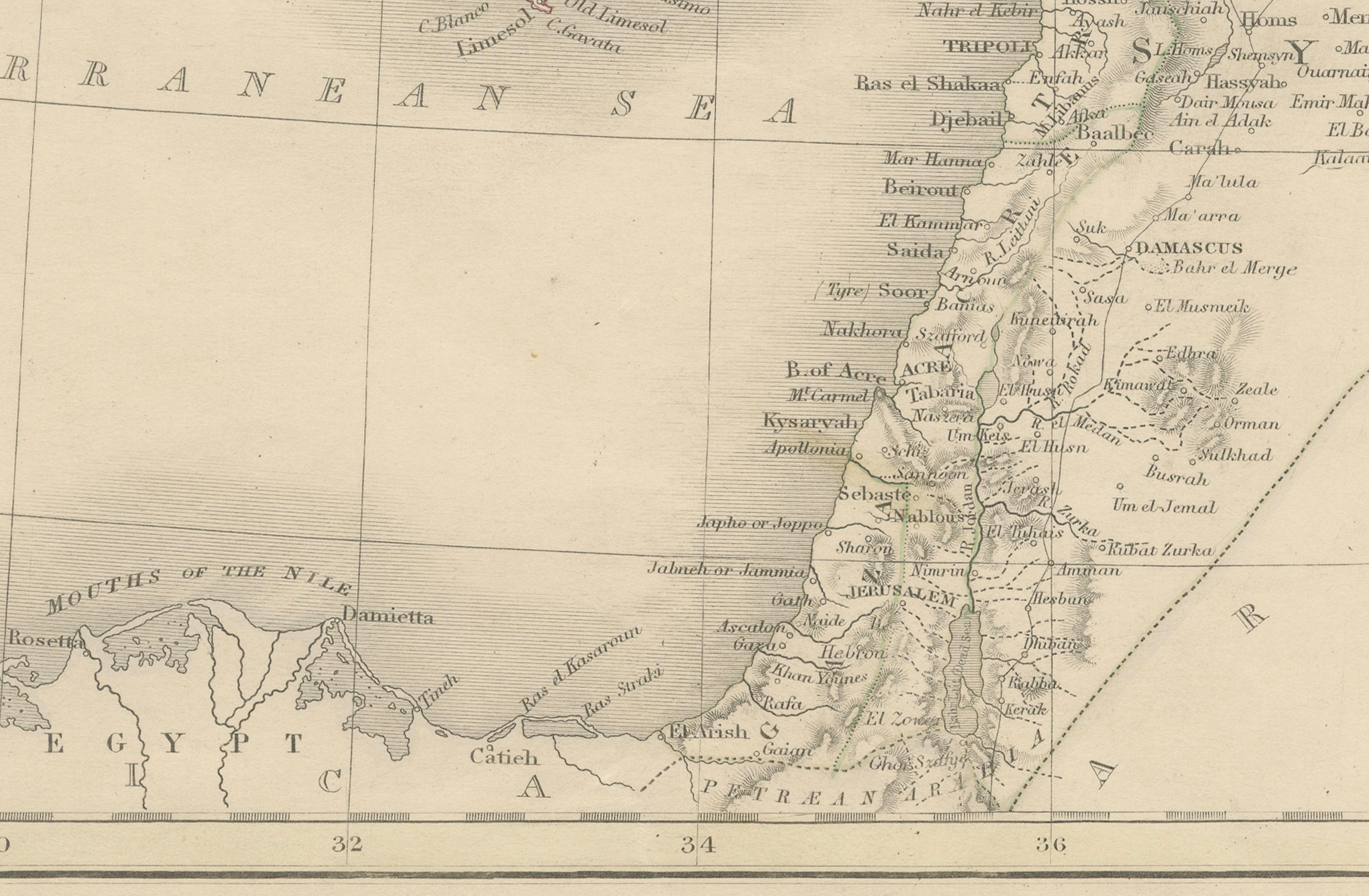
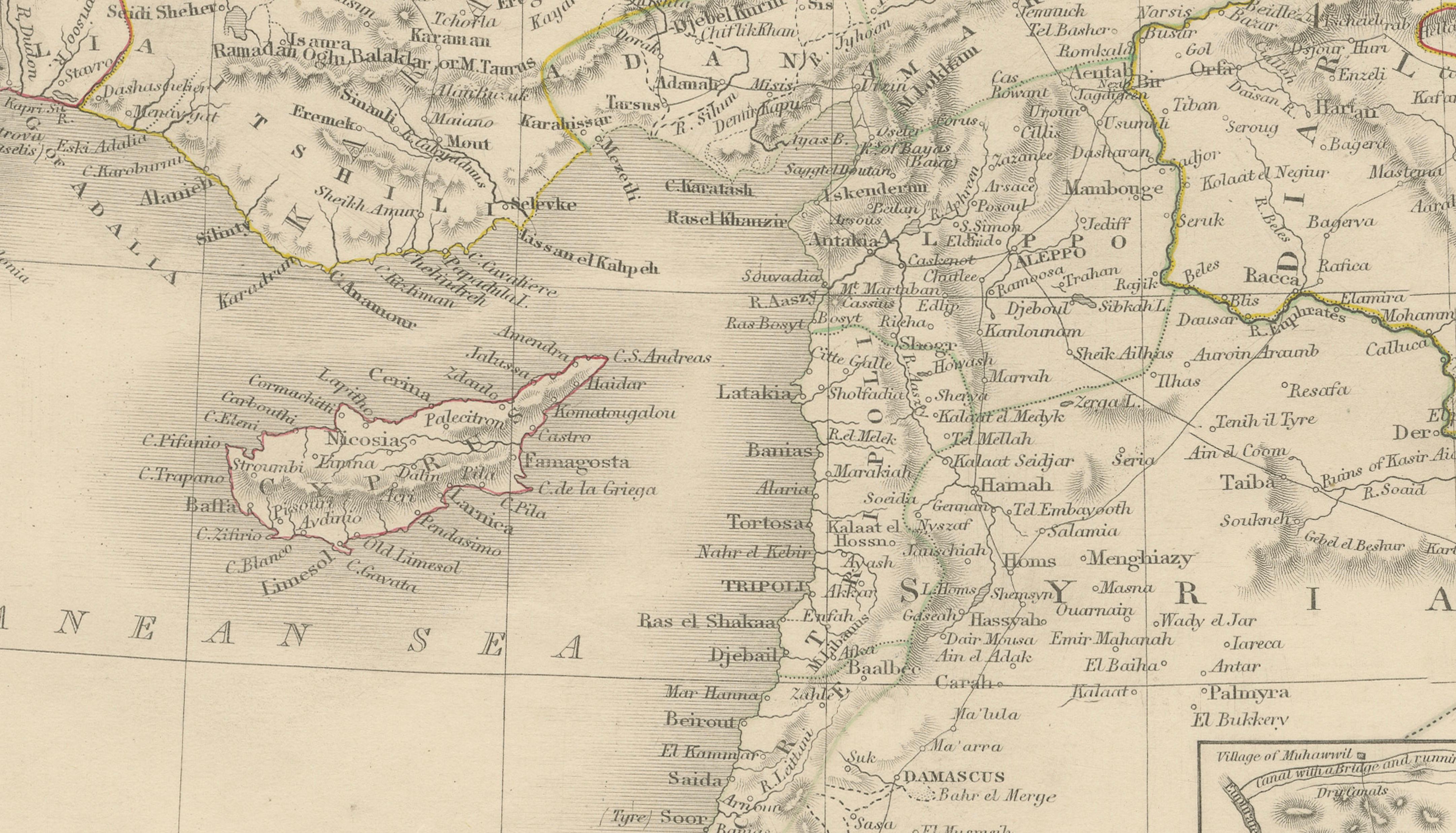
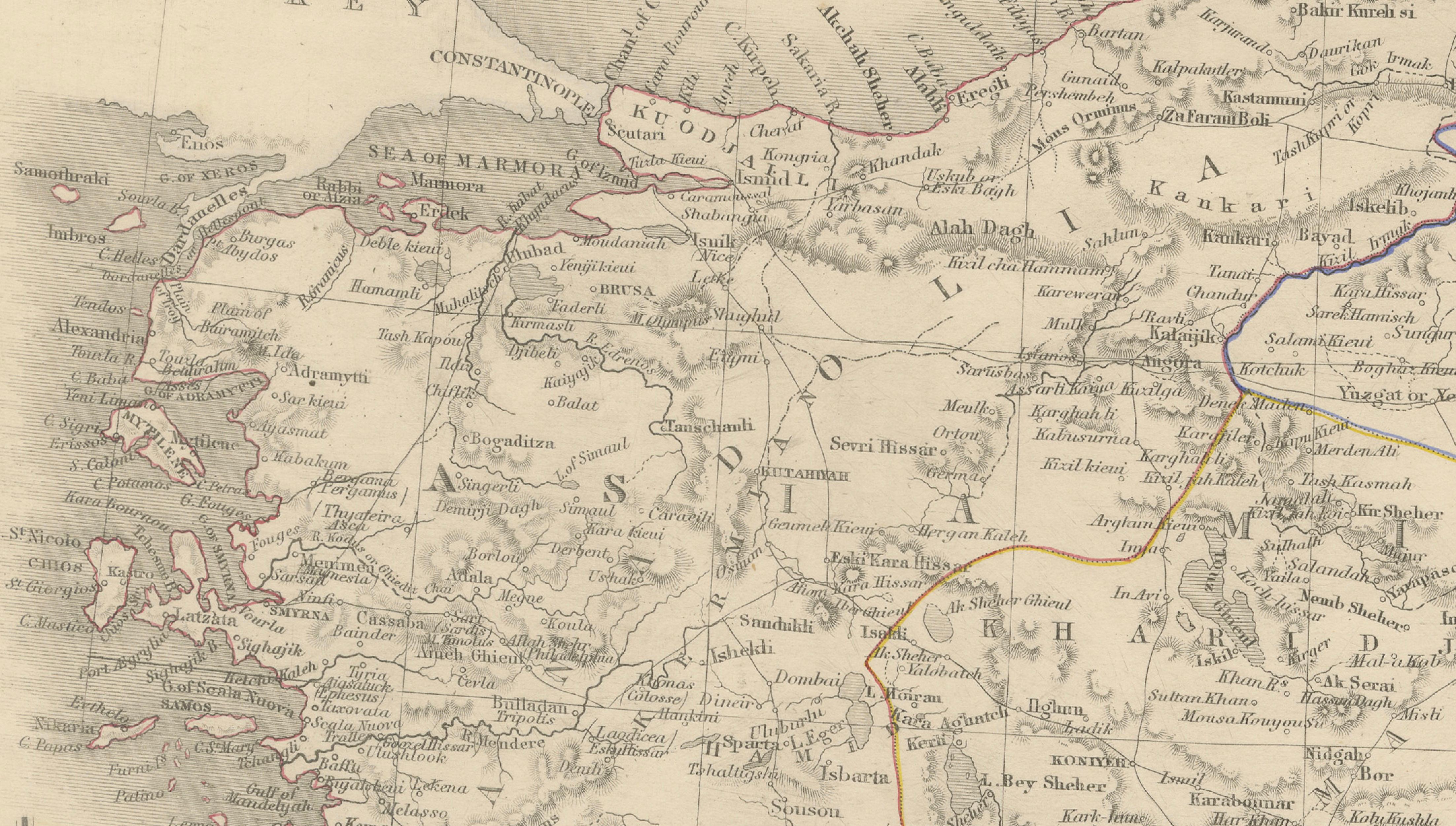
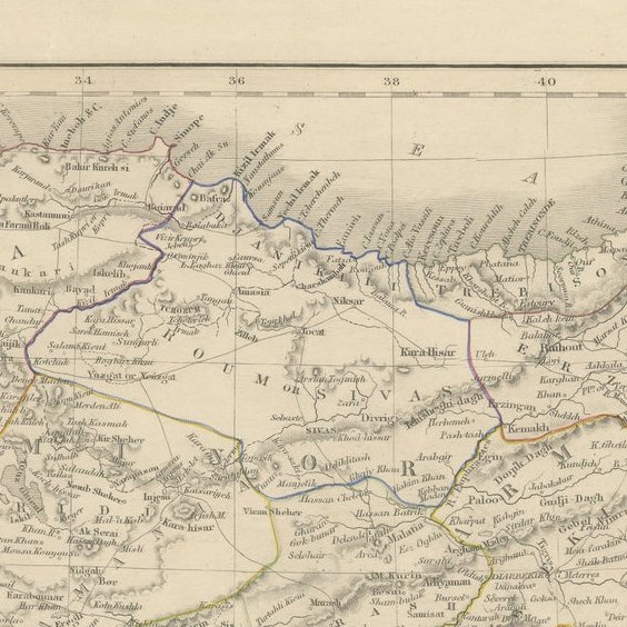
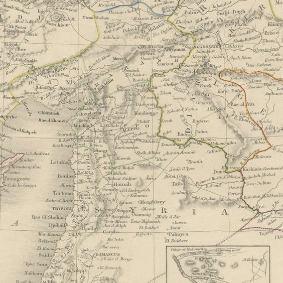
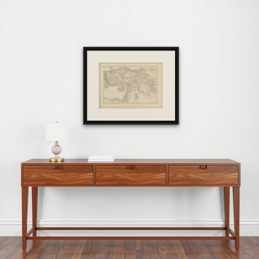
Large and finely engraved antique map titled “Turkey in Asia,” depicting the vast Asian territories of the Ottoman Empire during the mid-19th century. The map covers Asia Minor (modern Turkey), Syria, Mesopotamia, Palestine, Armenia, Kurdistan, and parts of Arabia and Persia, extending from the Mediterranean coast to the regions surrounding the Tigris and Euphrates rivers.
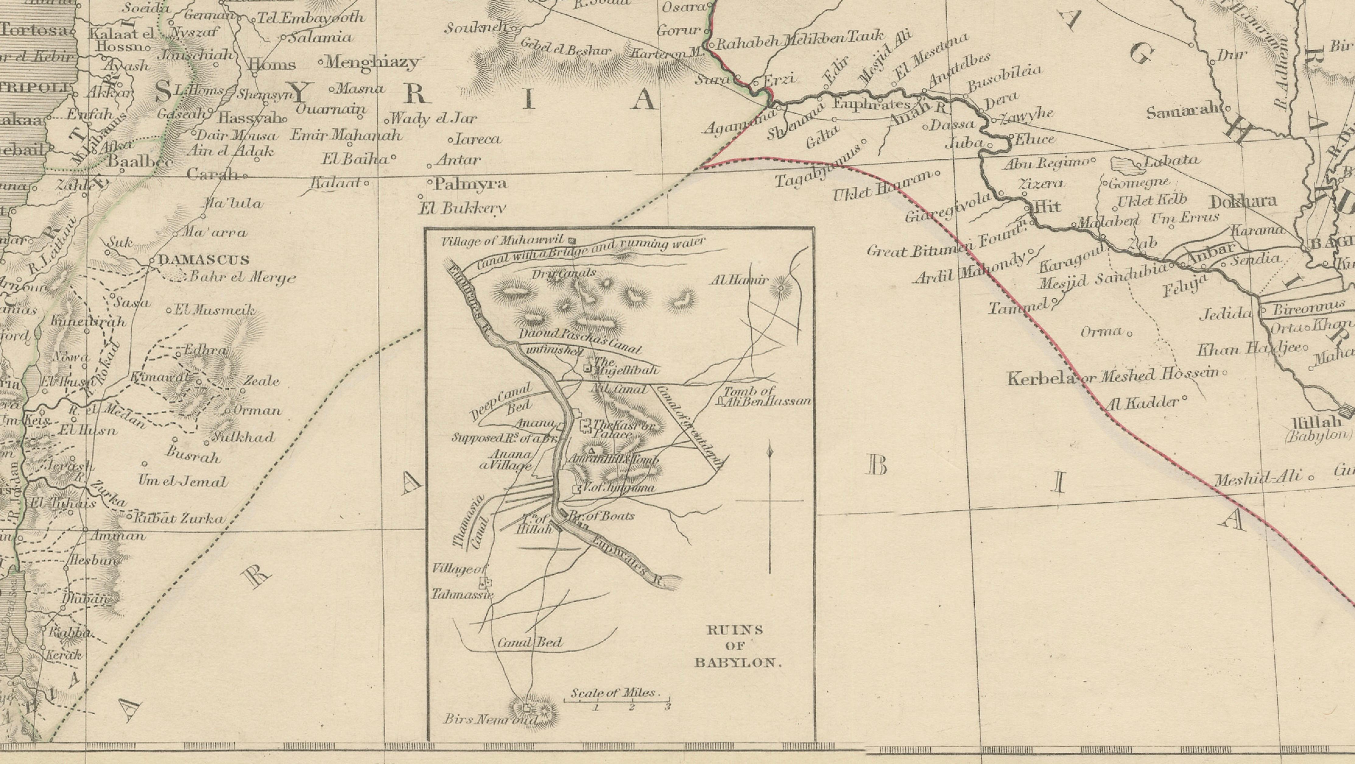
The engraving is exceptionally detailed, showing provincial borders, mountain ranges, rivers, caravan routes, ancient cities, and important historical regions throughout the Ottoman Near East. Original outline hand-coloring distinguishes the administrative divisions and enhances the visual elegance of the composition. An inset map near the lower center further illustrates the route near Babylon and surrounding Mesopotamian geography.
Maps of the Ottoman Empire from this period reflect the growing European fascination with biblical geography, imperial politics, trade routes, and archaeological exploration in the Middle East. The combination of historical significance and decorative appeal makes such maps highly desirable among collectors of Middle Eastern cartography and 19th-century travel material.
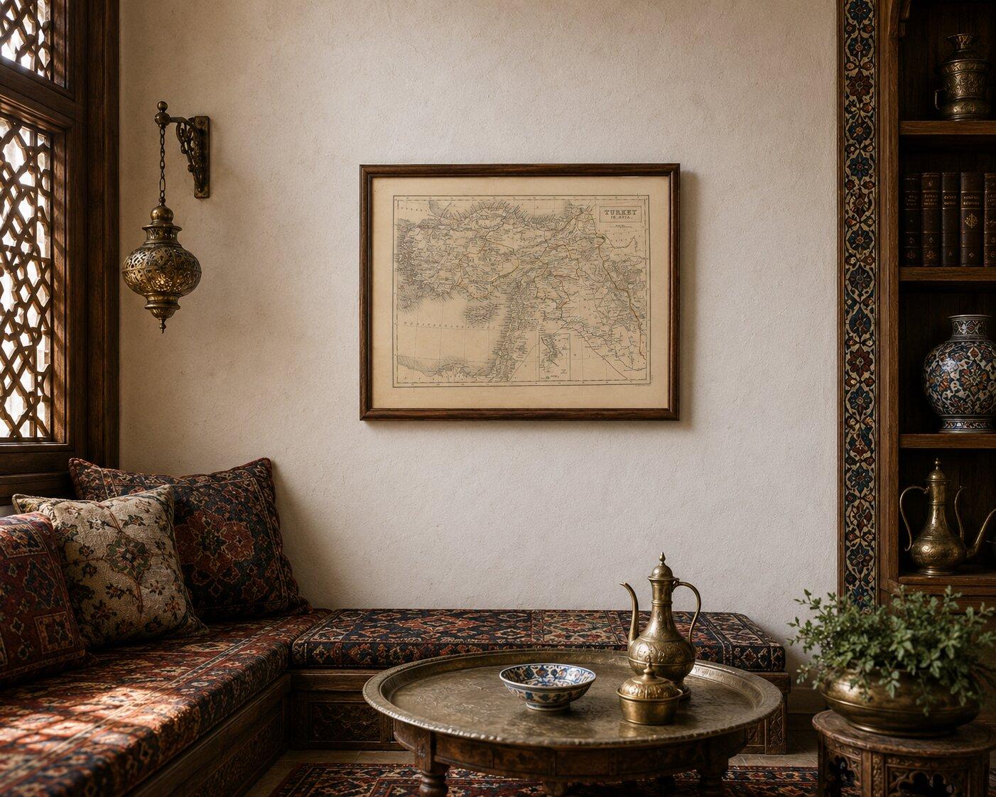
The print is an original antique engraving, not a reproduction. The piece is sold unframed; any framed images are shown for presentation and interior inspiration only and may not always be to scale.
Framing tips: Particularly striking in a dark walnut or ebonized frame with a wide ivory mat, suitable for a study, library, or classic interior.