
Maps & PrintsBartele Gallery · Langweer
Home / Antique Maps / Europe / South-East Europe

South-East Europe

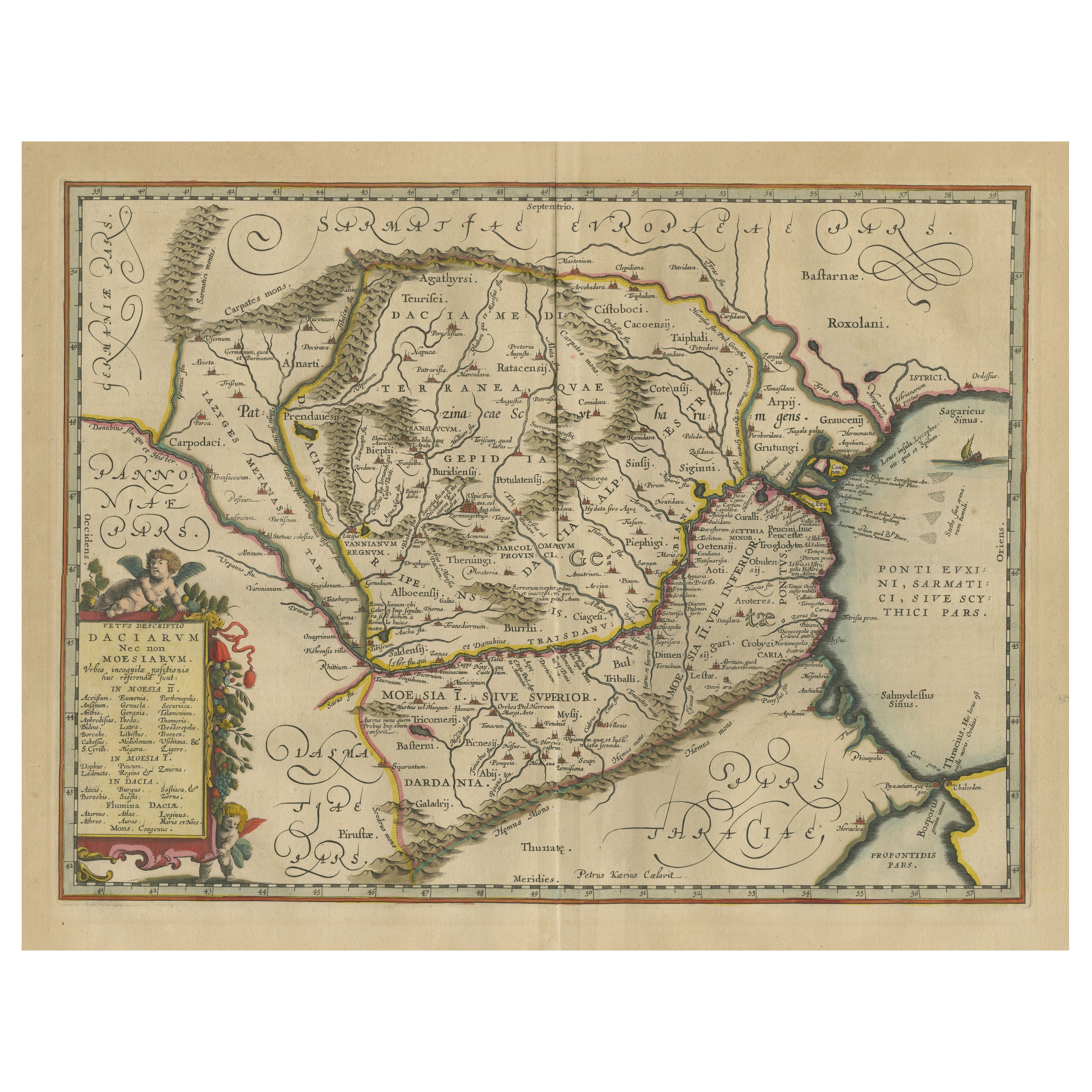
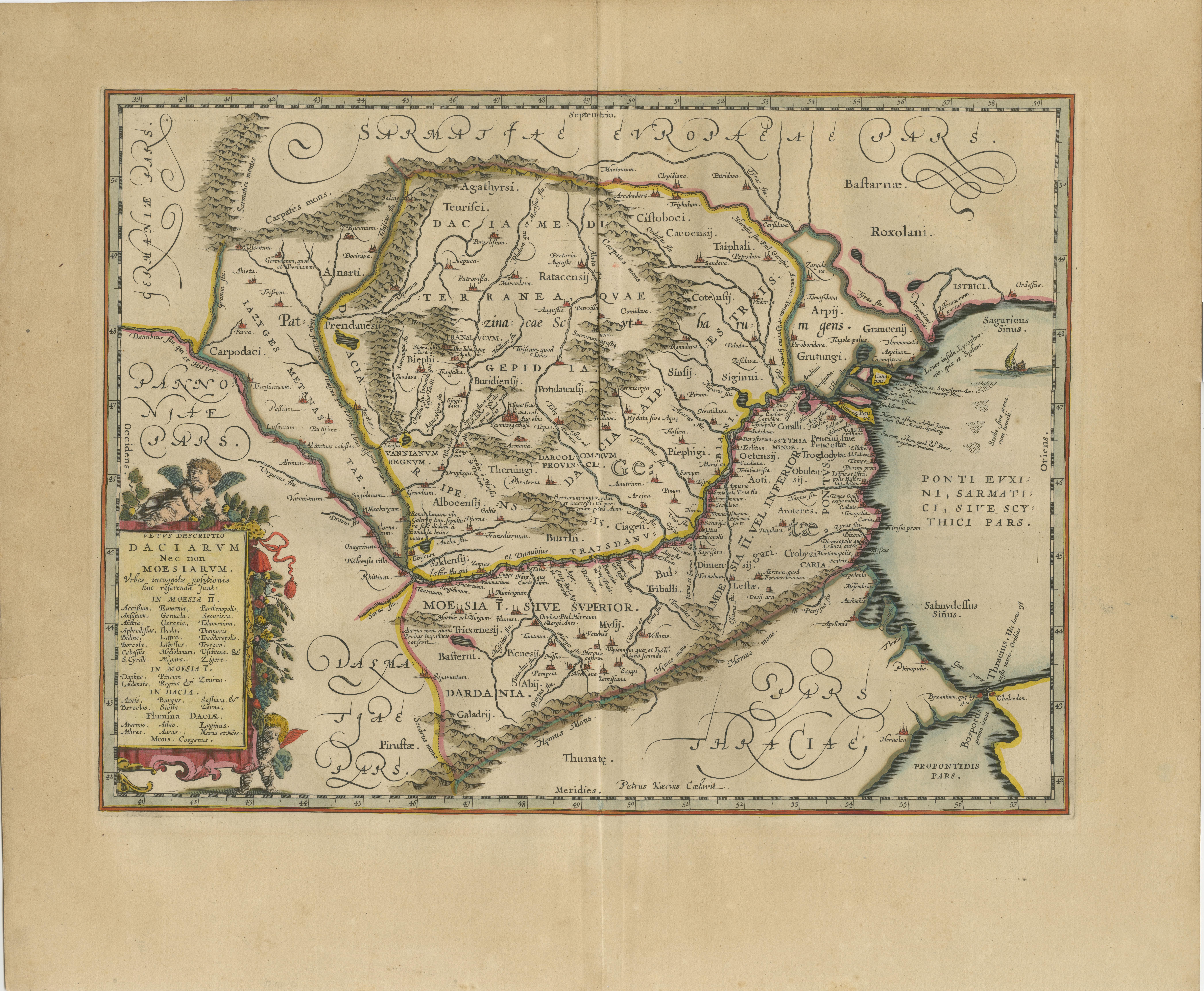
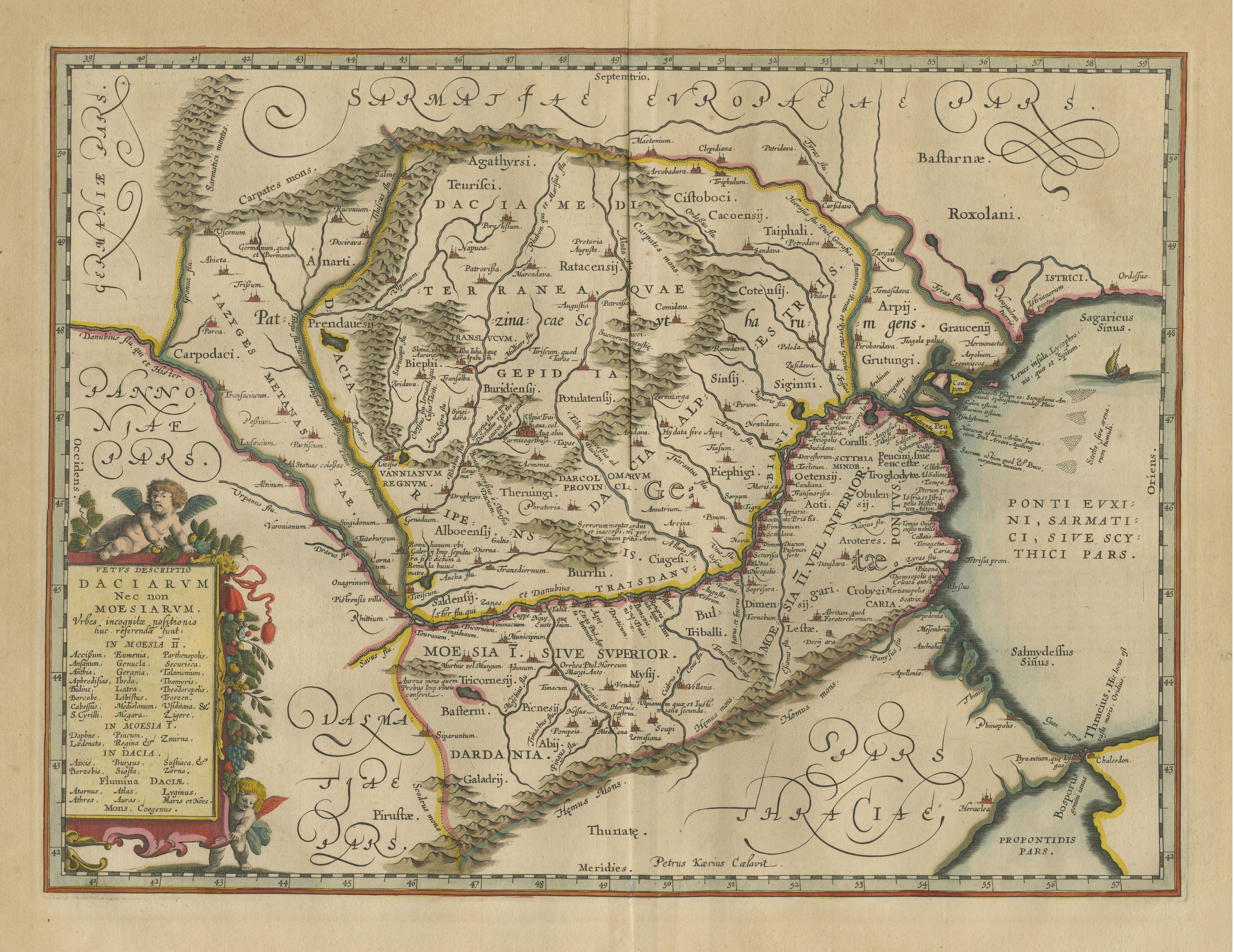
Antique Map of Romania and Bulgaria Centered on the Danube River

€ 690

One of a kind: this is the sheet in the photographs. Ships from Langweer, the Netherlands.

Sheet size
49.1 × 59 cm (19.3 × 23.2 in)
Condition
Fair
Reference
BG-13324-12

Condition

Age-related toning. Original folding line. Original/contemporary hand coloring, with a few defects/tears along the green lines. Shows wear and soiling. Latin text on verso. Few tiny worm holes bottom margin. Please study image carefully.
About this sheet

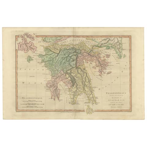
Antique map titled 'Vetus descriptio Daciarum nec non Moesiarum'. Impressive map of the area of Romania and Bulgaria centered on the Danube River. The map is based on Ortelius' map of the region which was in turn based on classical sources. It was beautifully engraved by Petrus Kaerius to highlight the major cities, mountains and rivers and is embellished by a garland draped title cartouche with two putti and a ship in the Black Sea. Published by J. Janssonius, circa 1660.

More from South-East Europe

Ask about this sheet

Antique Map of Romania and Bulgaria Centered on the Danube River
Ref. BG-13324-12 · € 690
We reply by email, usually within one working day.