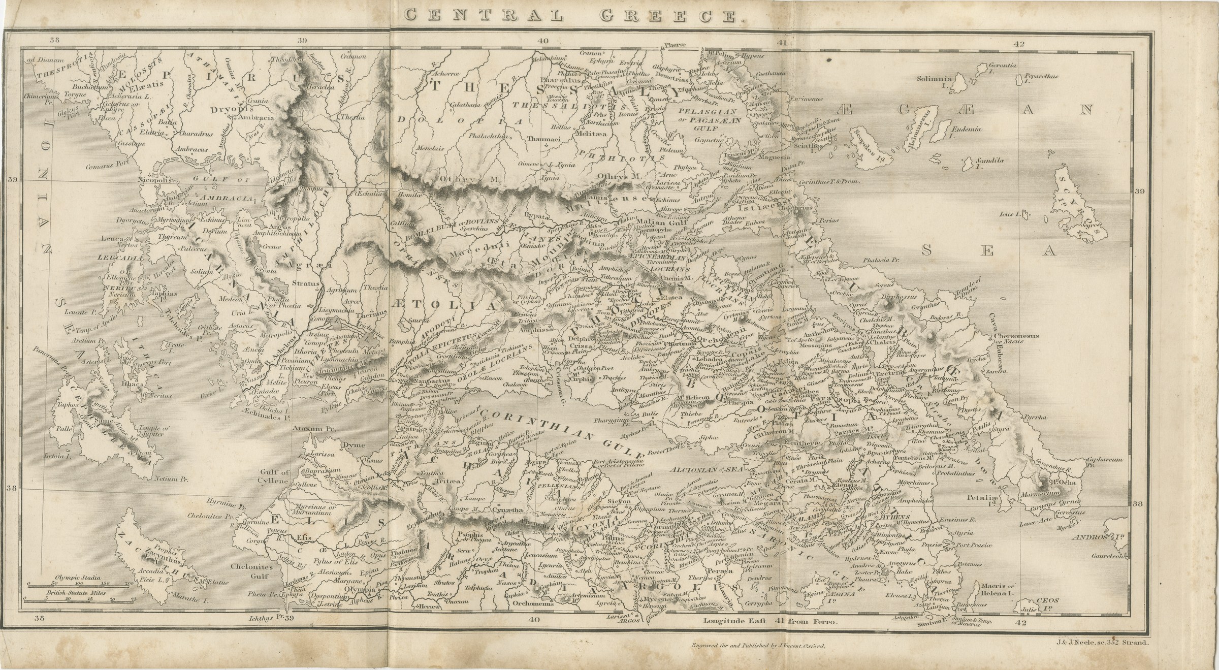
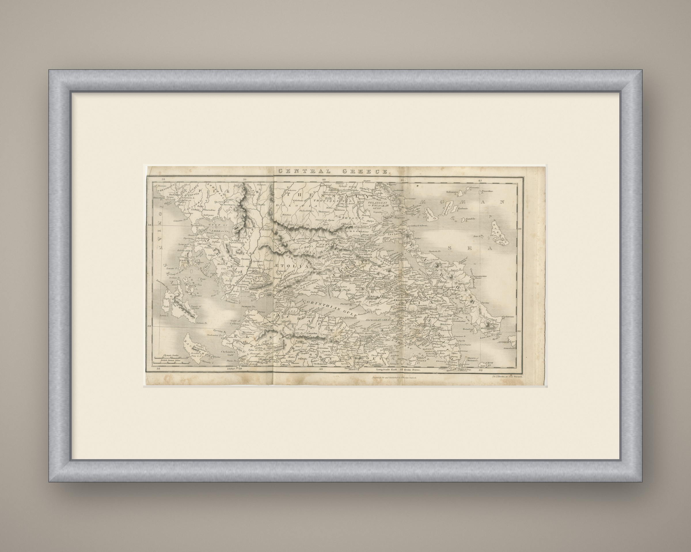
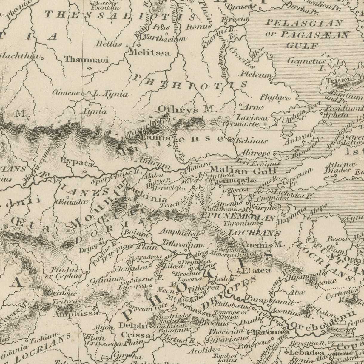
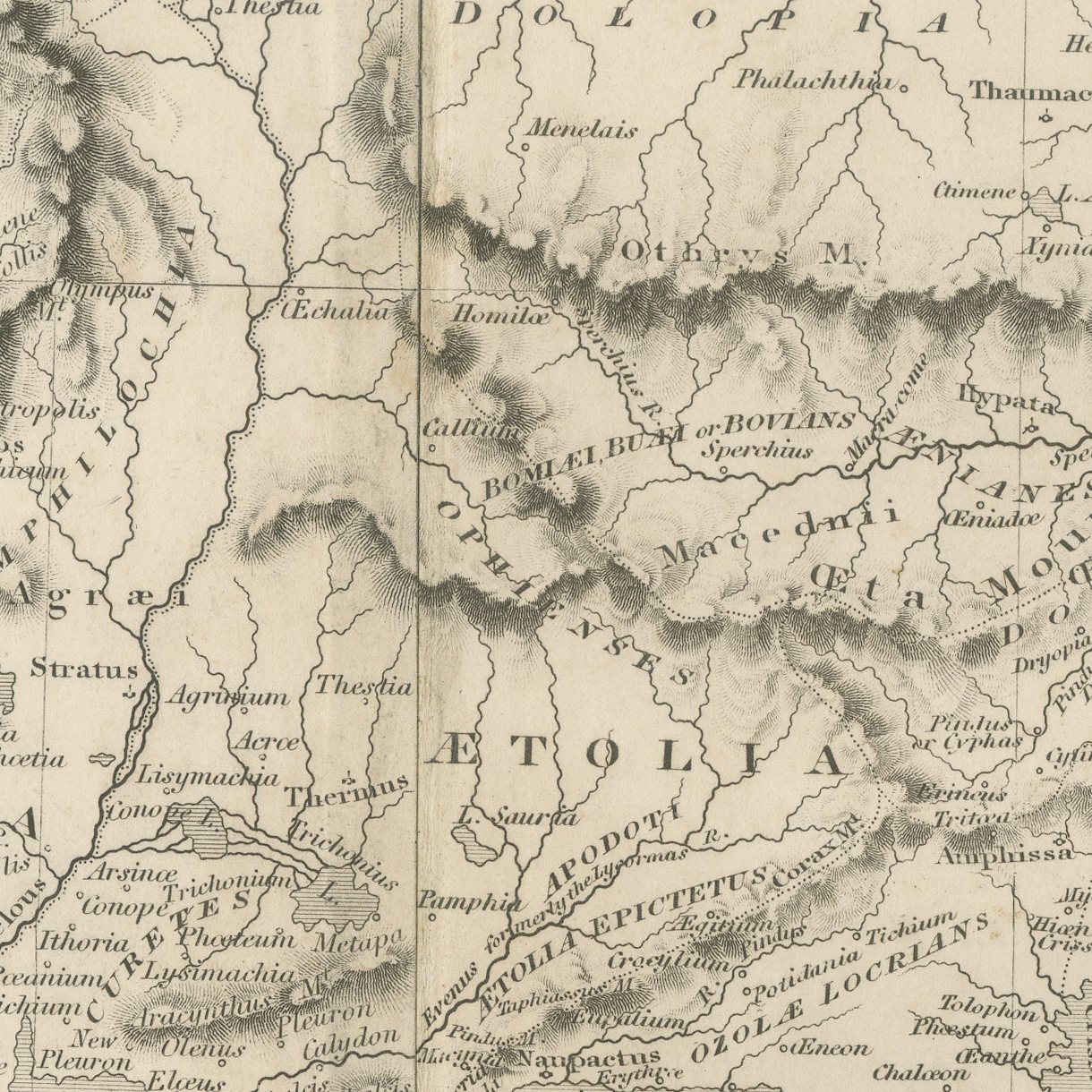
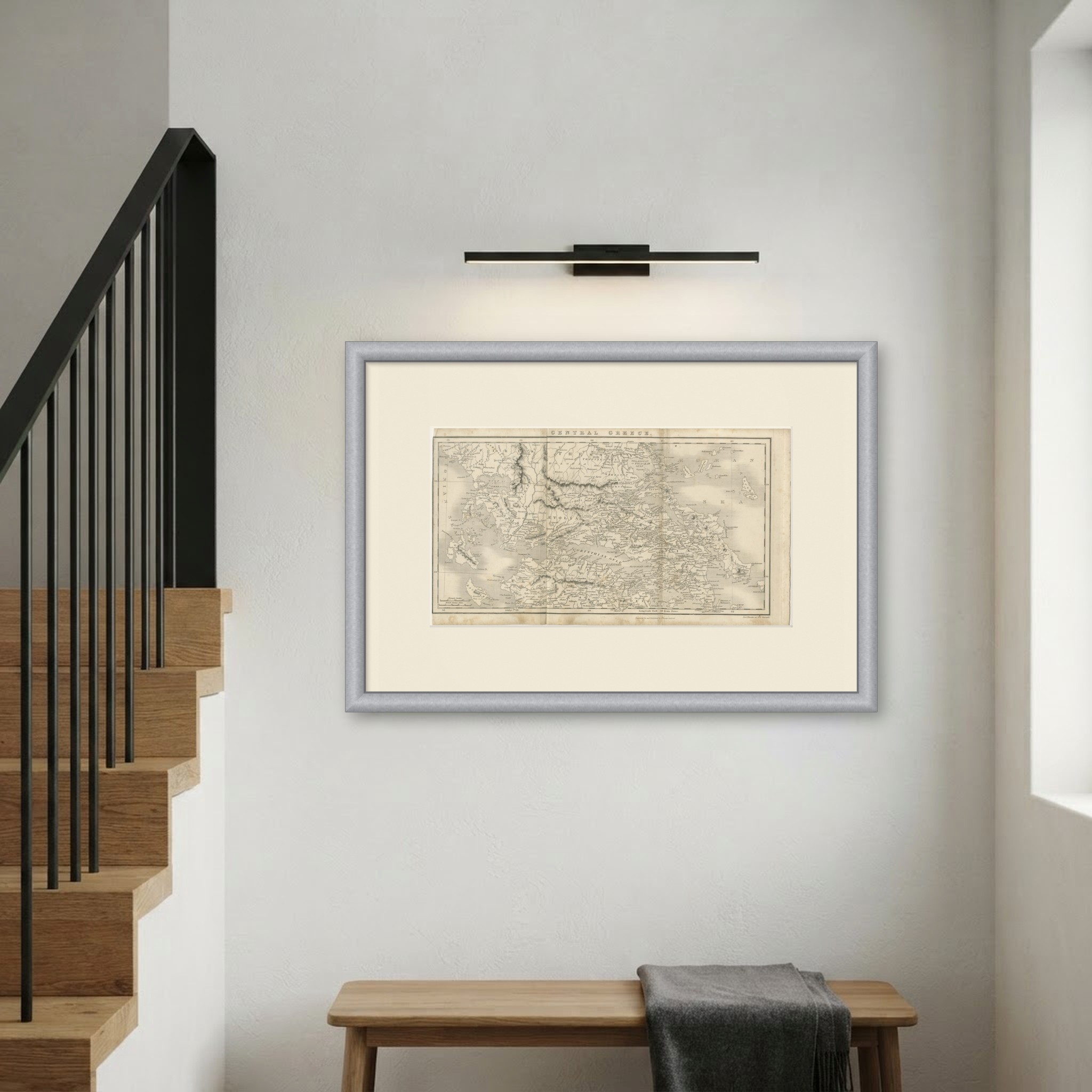
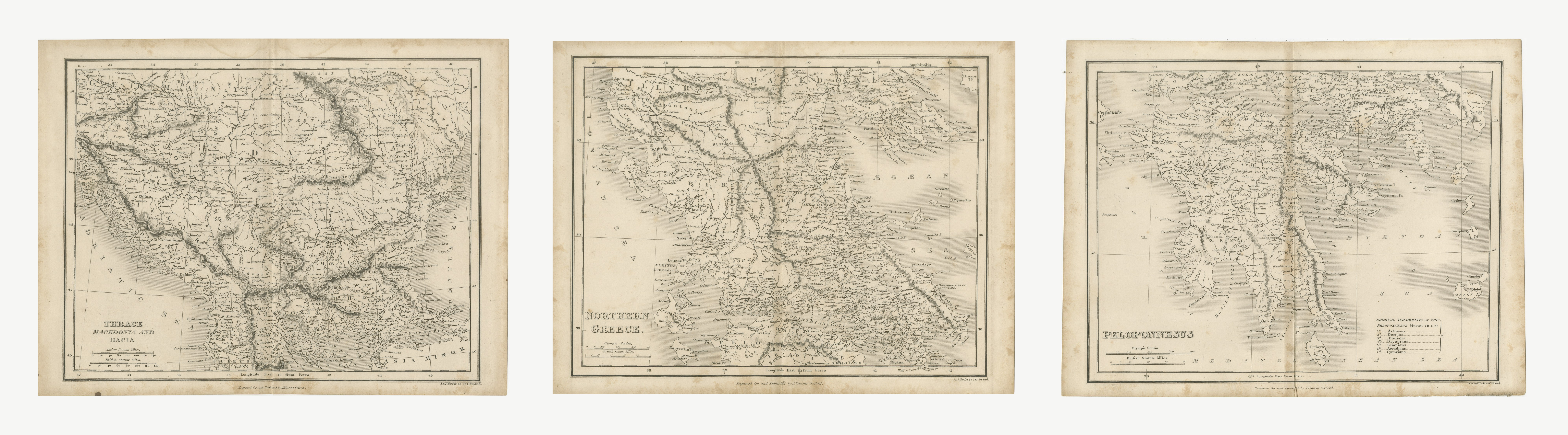
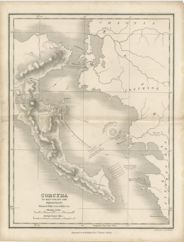
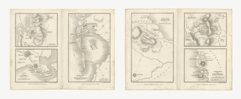
Antique Map of Central Greece with Attica and Boeotia, circa 1850
£200
Original antique · The actual sheet photographed · Certificate of authenticity on request · Sold unframed · Worldwide shipping from € 15 (rates)
Date
circa 1850
Mapmaker / artist
J. and J. Neele of 352 Strand, London, engravers
Publisher
J. Vincent, Oxford
Technique
Steel engraving
Coloring
Uncolored
Sheet size
21 × 38 cm (8.3 × 15.0 in)
Condition
Good
Reference
BG-14457-2-3
What the condition grades mean
Excellent
Bright and clean, with no faults worth mentioning.
Very good
Only light signs of age, such as faint toning.
Good
Normal signs of age for a sheet of this period: toning, some foxing, small marks or neat old repairs.
Fair
Clear faults such as staining, tears or repairs, priced to match.
Every fault we see is written in the condition note, and the whole sheet is shown uncropped in the photos.
Condition
Strong age toning, the paper a warm buff, with darker along the bottom edge, foxing through the margins, one or two spots larger than the rest, stains in the margins and handling wear to the top left corner.
About this sheet
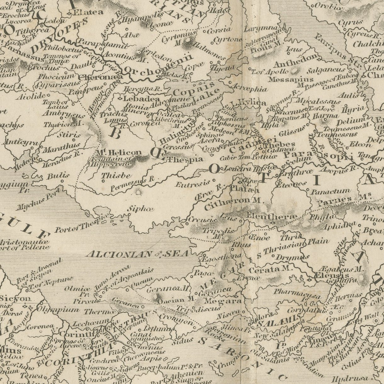
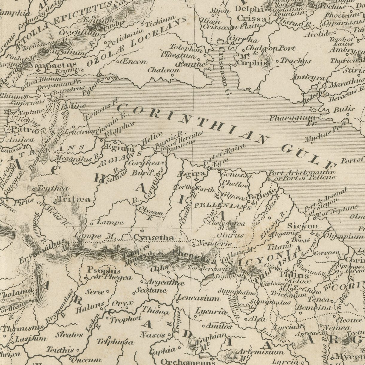
This is an original antique steel-engraved map of Central Greece, published at Oxford about 1850 in the atlas Maps and Plans illustrative of Thucydides. The sheet is noticeably wider than the rest of the atlas and it uses the extra width well, carrying Attica, Boeotia, Phocis, Locris and Aetolia in one view with the Corinthian Gulf running the length of the map and the Euboean channel closing it to the east. Parnassus and Cithaeron and the Boeotian hills are modeled in close hachuring, and the road and pass country between Athens and Thebes is drawn with particular care.
The sheet comes from Maps and Plans illustrative of Thucydides, the atlas published at Oxford by J. Vincent, with Whittaker and Co., Simpkin and Marshall, and Sherwood, Gilbert and Piper named as the London booksellers on the title page of this second edition. The atlas follows the text of Thucydides book by book, with general maps of the Greek world followed by plans of particular campaigns, sieges and battles, many of them lettered with the book and chapter they illustrate. The plates were engraved by J. and J. Neele of 352 Strand, London, with the hills in close hachuring and scales in Olympic stadia and British statute miles.
Central Greece takes in Attica, Boeotia, Phocis and Aetolia, the country between Athens and Thebes over which Athenian and Boeotian forces fought through much of the war, at Delium in 424 BC among other places. The wide format suits a long wall above a desk or a bookcase.
Strong age toning, the paper a warm buff, with darker along the bottom edge, foxing through the margins, one or two spots larger than the rest, stains in the margins and handling wear to the top left corner.
This is an original antique print, not a modern reproduction. This item is sold unframed. Any framed or interior images are shown for presentation and inspiration only, unless the listing explicitly states that the item is sold framed.