Antique German Map of South America by Kiepert, c.1870
€ 220
Original antique · The actual sheet photographed · Certificate of authenticity on request · Sold unframed · Worldwide shipping from € 15 (rates)
Date
1870
Sheet size
35 × 45.4 cm (13.8 × 17.9 in)
Condition
Good
Reference
BG-06670-1
What the condition grades mean
Excellent
Bright and clean, with no faults worth mentioning.
Very good
Only light signs of age, such as faint toning.
Good
Normal signs of age for a sheet of this period: toning, some foxing, small marks or neat old repairs.
Fair
Clear faults such as staining, tears or repairs, priced to match.
Every fault we see is written in the condition note, and the whole sheet is shown uncropped in the photos.
Condition
General age-related toning. Split on folding line. Please review the images for further condition details.
About this sheet
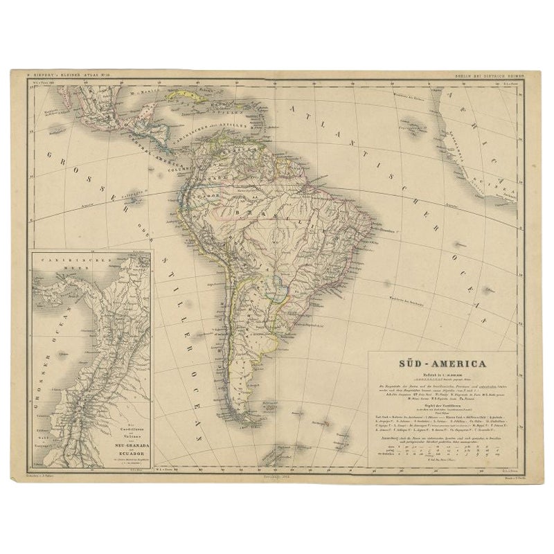
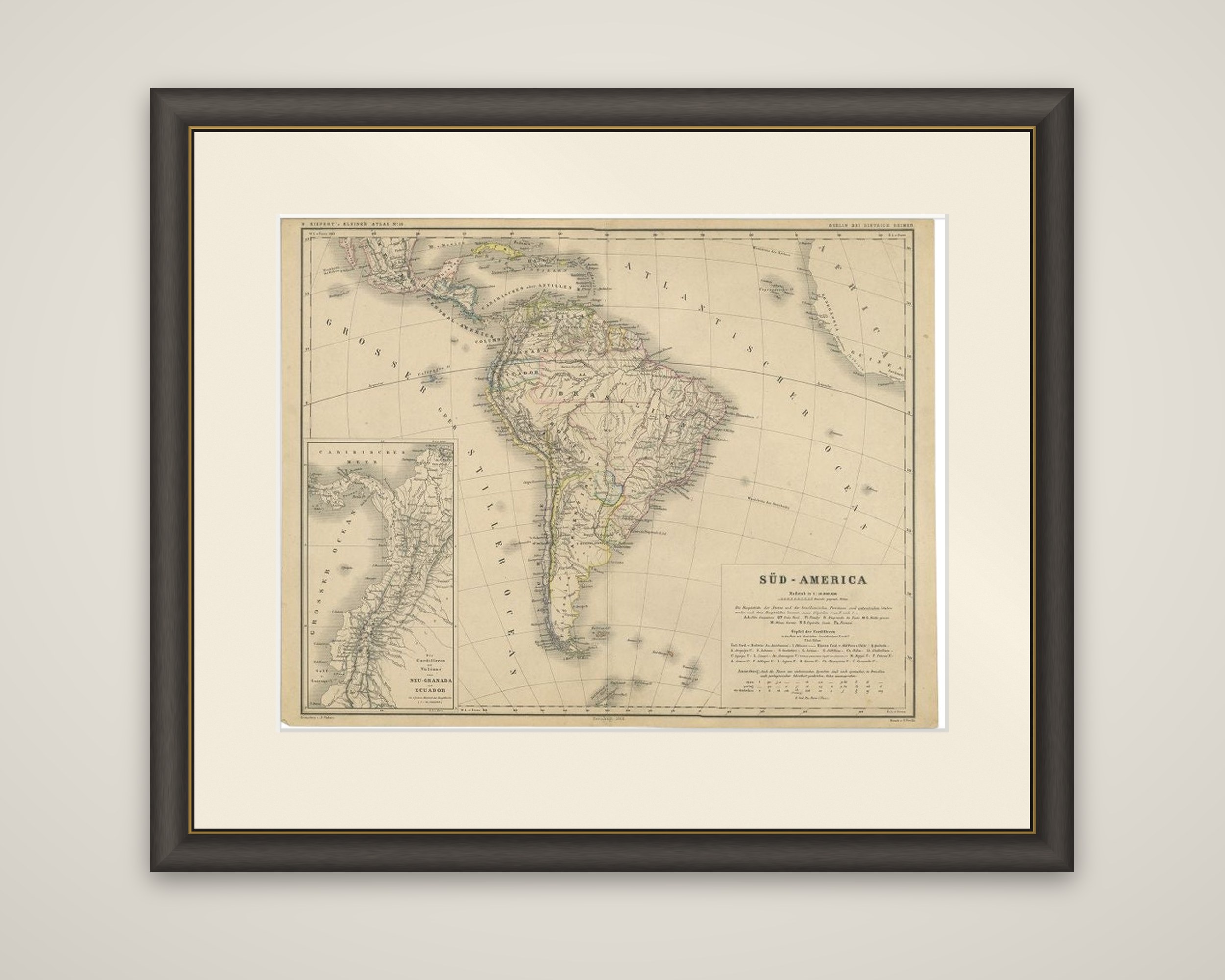
South America in the later nineteenth century, titled "Süd-America", a lithographed map with outline color from H. Kiepert's Kleiner Atlas der Neueren Geographie für Schule und Haus, printed in Berlin by Dietrich Reimer around 1870. Heinrich Kiepert (1818 to 1899) was one of the leading German geographers of his day.
The continent is drawn on a curved projection, with the Caribbean and Central America at the top and the Atlantic and Pacific lettered in German, "Atlantischer Ocean" and "Grosser oder Stiller Ocean". The title and scale are given in a block at the lower right, with a key to the states and a table of the principal mountain heights. A large inset at the left, "Die Cordilleren und Vulkane von Neu-Granada und Ecuador", shows the Andes of Colombia and Ecuador at a larger scale, with the volcanoes marked.
As a school atlas sheet, it shows the states of South America as they stood around 1870 in a clear, well-organized style, with the inset giving a closer look at the northern Andes.