Maps & PrintsBartele Gallery · Langweer
Home / Antique Maps / Europe / Northern Europe

Northern Europe · 18th century

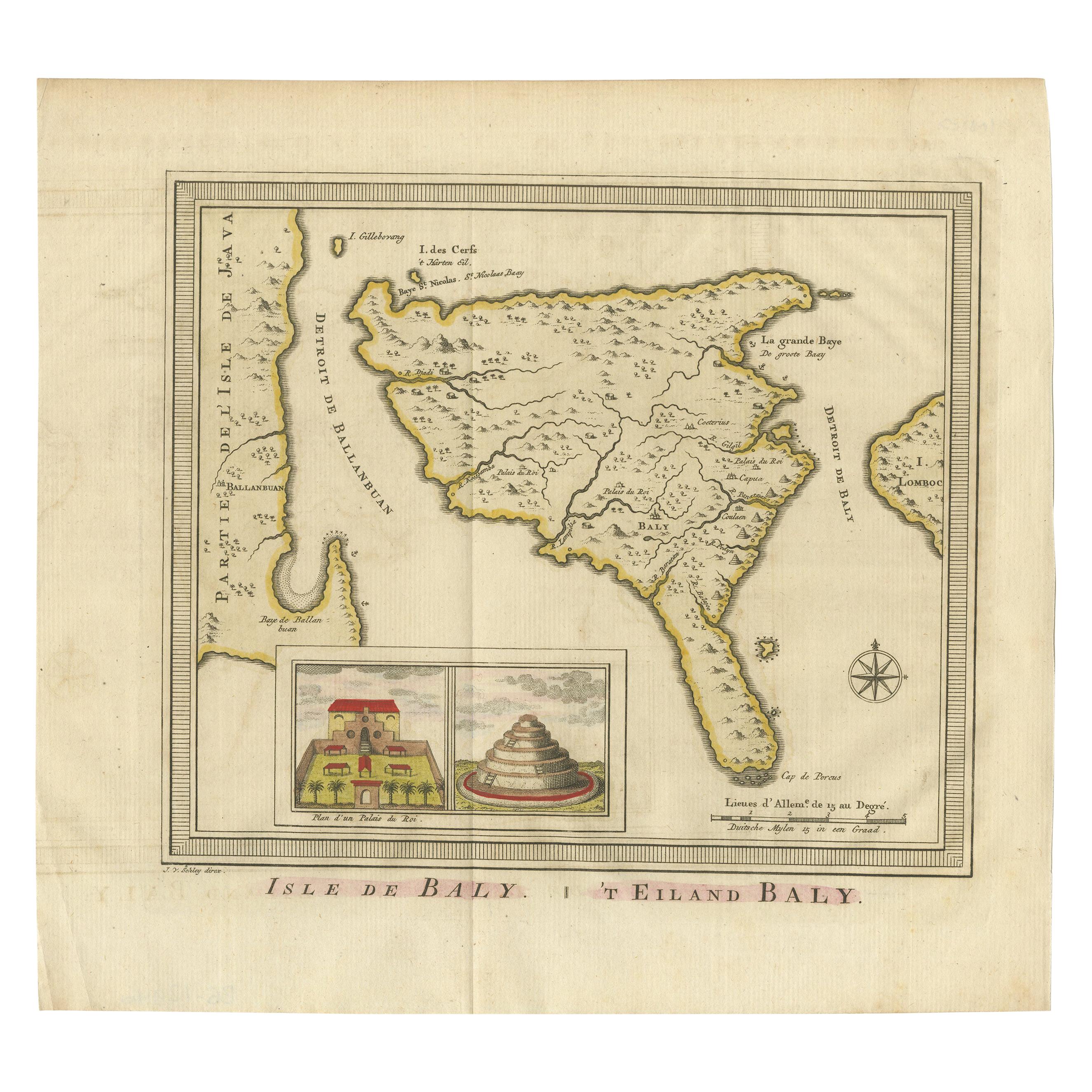
Anbtique Map of the Island of Bali by Van Schley '1755'

€ 550

One of a kind: this is the sheet in the photographs. Ships from Langweer, the Netherlands.

Date
1755
Sheet size
25.5 × 28 cm (10.0 × 11.0 in)
Condition
Good
Reference
BG-12946

Condition

General age-related toning. Original folding line. Minor wear and light creasing, blank verso. Please study image carefully.
About this sheet

Antique map titled 'Isle de Baly - 't Eiland Baly'. Beautiful original antique map of Bali, Indonesia. Depicts the island from the north with Java to the left and Lombok to the right. With an inset of the Royal Palace and a Balinese temple. This map originates from 'Historische beschryving der reizen (..)' published 1755. Engraved by J. van Schley.

More from Northern Europe

Ask about this sheet

Anbtique Map of the Island of Bali by Van Schley '1755'
1755 · Ref. BG-12946 · € 550
We reply by email, usually within one working day.