About this sheet
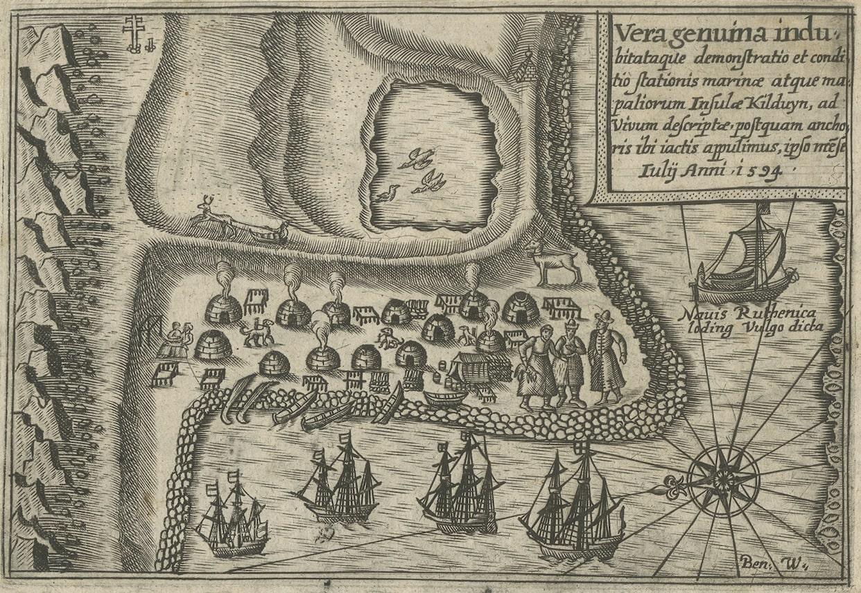
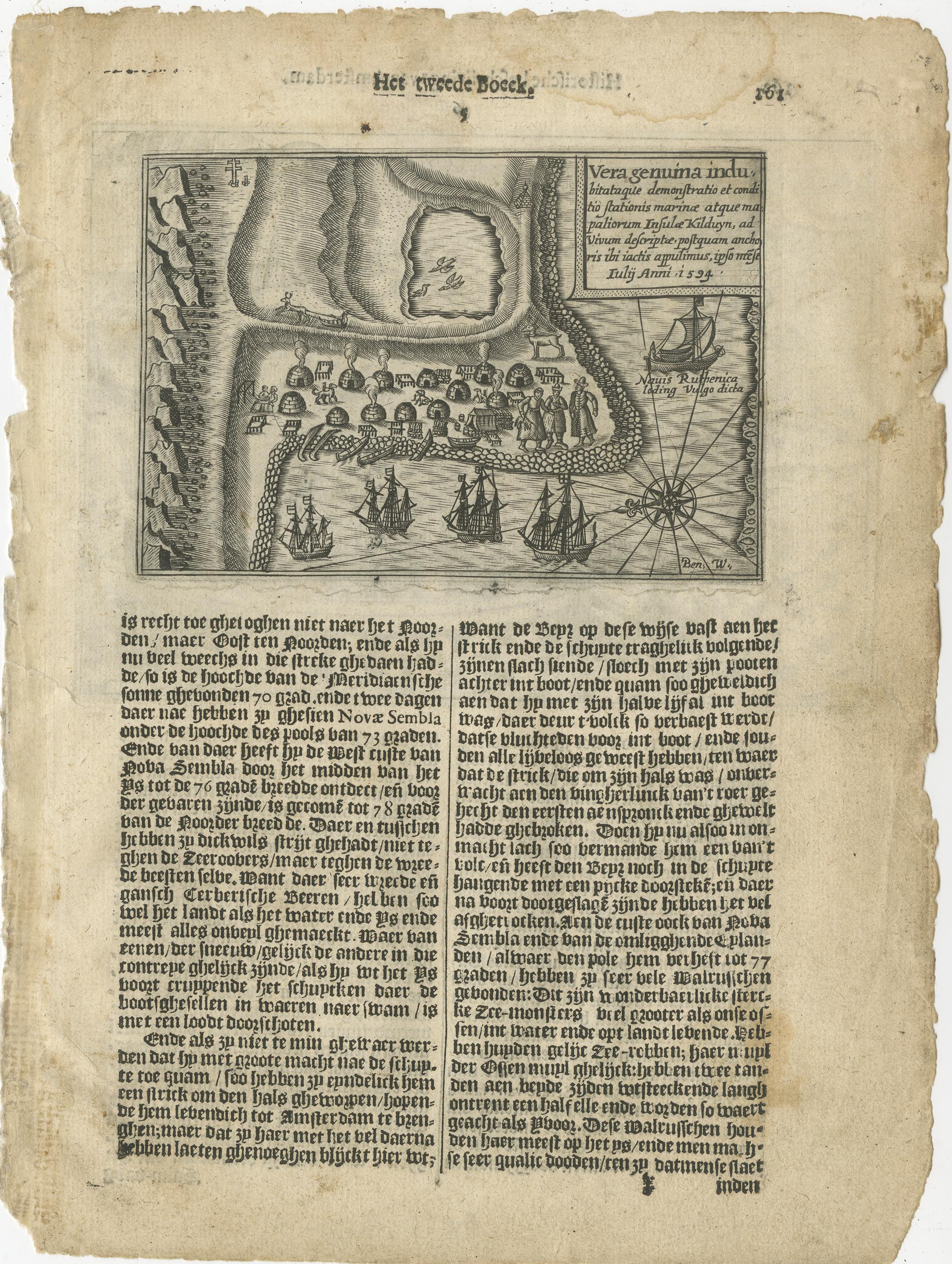
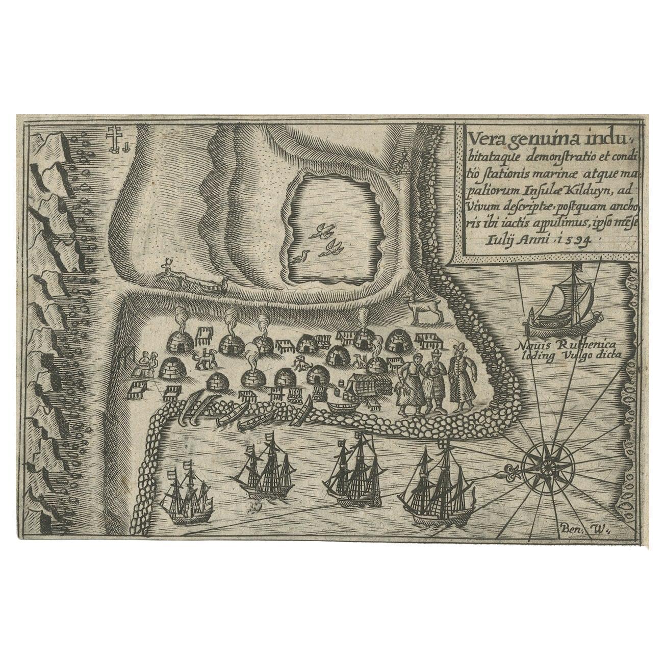
Insula Kilduyn. Orig. copper-engraving after details from J. H. van Linschoten's map taken from his account of the three expeditions undertaken by Willem Barents in 1594, in an attempt to discover a north-east passage to China. Kildin is a small Russian island in the Barents Sea. "Vera genuina indu' inscripted in the top.
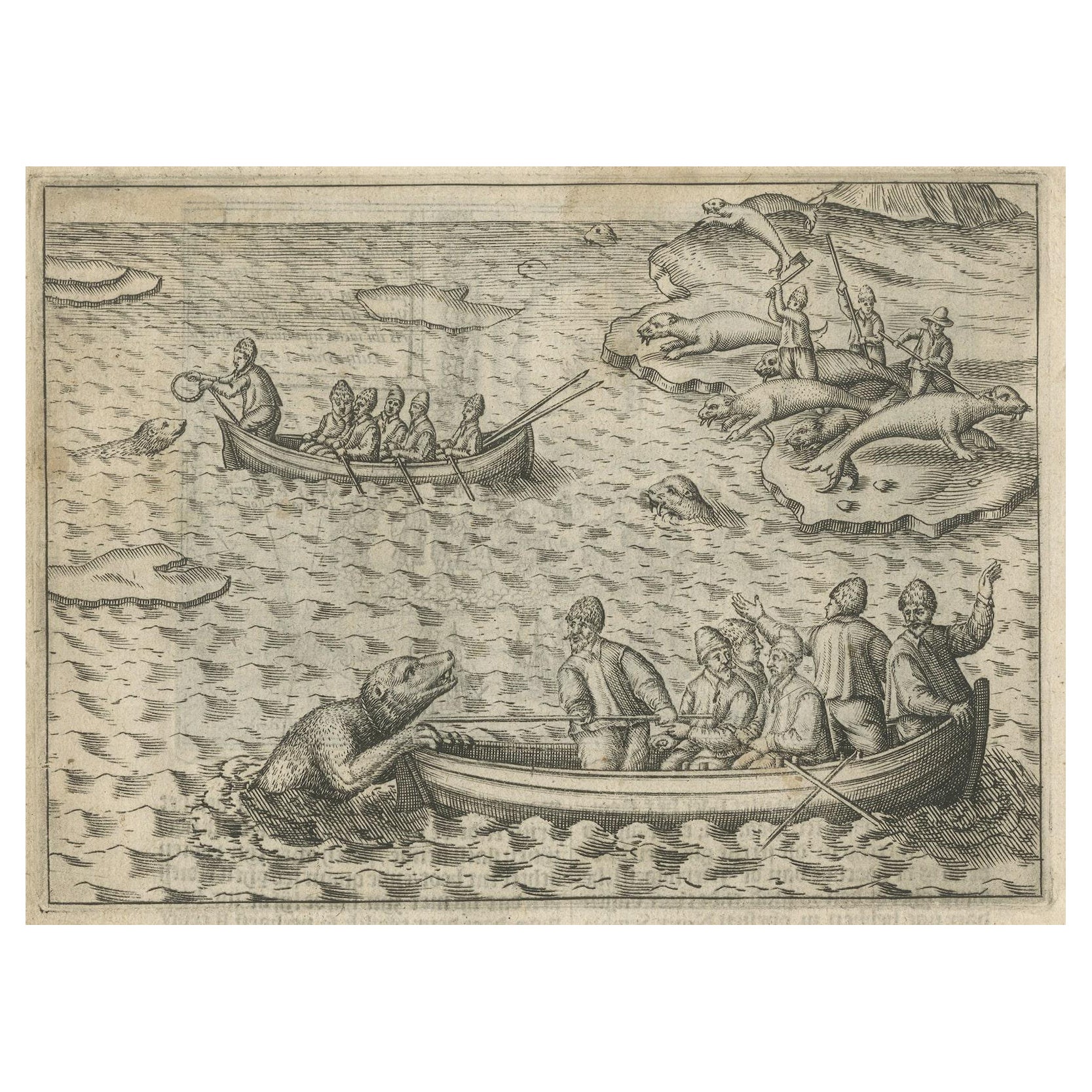
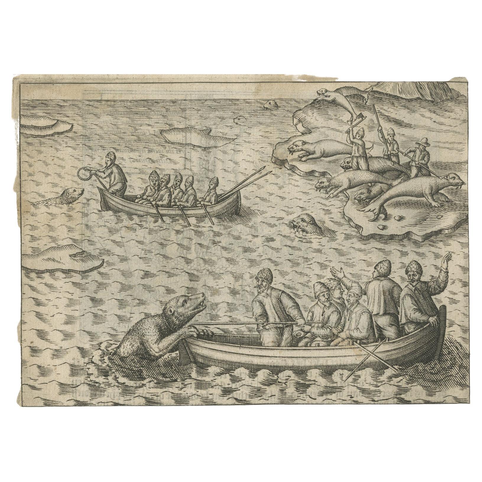
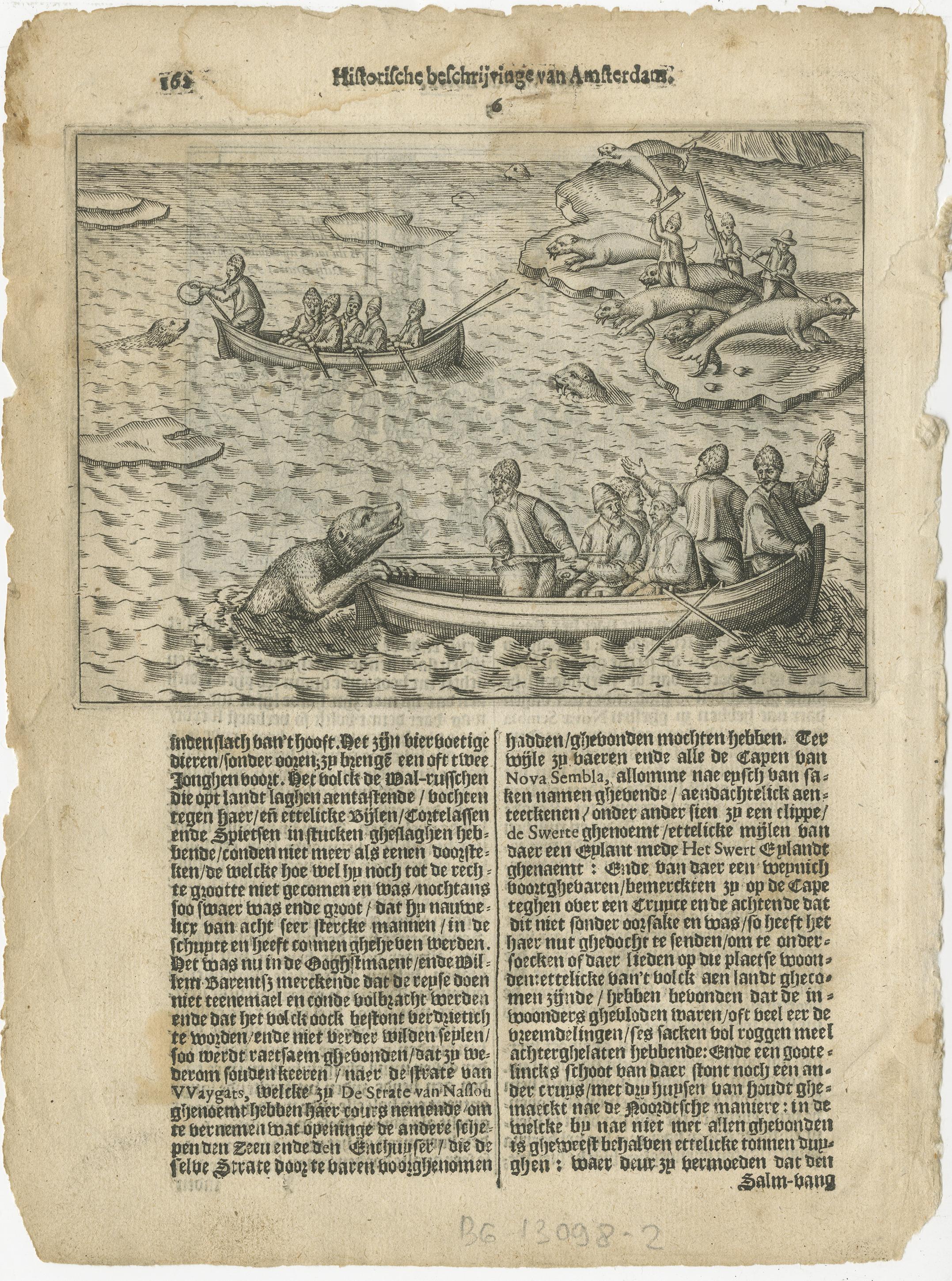
The image on the verso show two small rowing boats with seal or whale hunters and the dangers that go with it.
From the Johan Isaac Pontanus & J. Hondius edition of 1614 - 'Historische beschrijvinghe der seer wijt beroemde coop-stadt Amsterdam'.
creator: Anoniem / Anonymous(engraver / etcher), Lodewijcksz, Willem(copied after)
period: 1614
material: paper
technique: engraving
measurements sheet of Kildin island: 9.5 x 7 inch ( 24x18 cm) - the engraving of the Seal Hunt is an inch bigger.
measurement map: 5.1 x 3.5 inch ( 13x9 cm ) - - the engraving of the Whale Hunt is an inch bigger.
The condition of the engravings itself is very good, Dutch text accompanying the engravings. The area around the engravings has (water) damage, brown spots and borders of the leaf are scuffy. Study the image of the larger leaf carefully.