About this sheet
Antique Map Staten Island Nova Zembla Barentsz Arctic 1598 Polar Bear
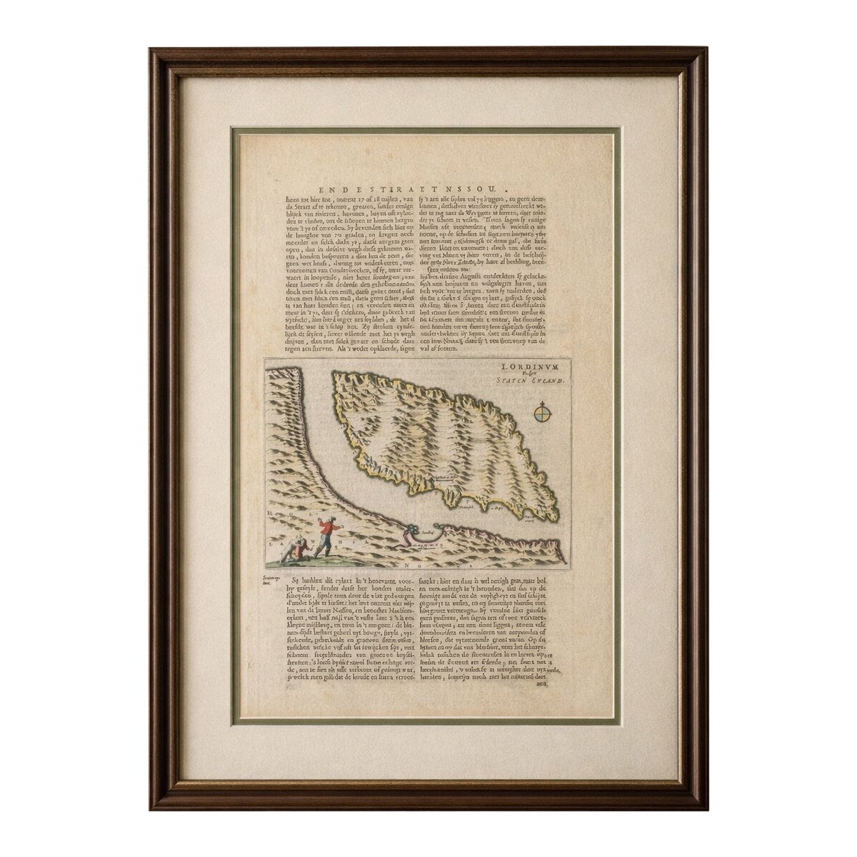
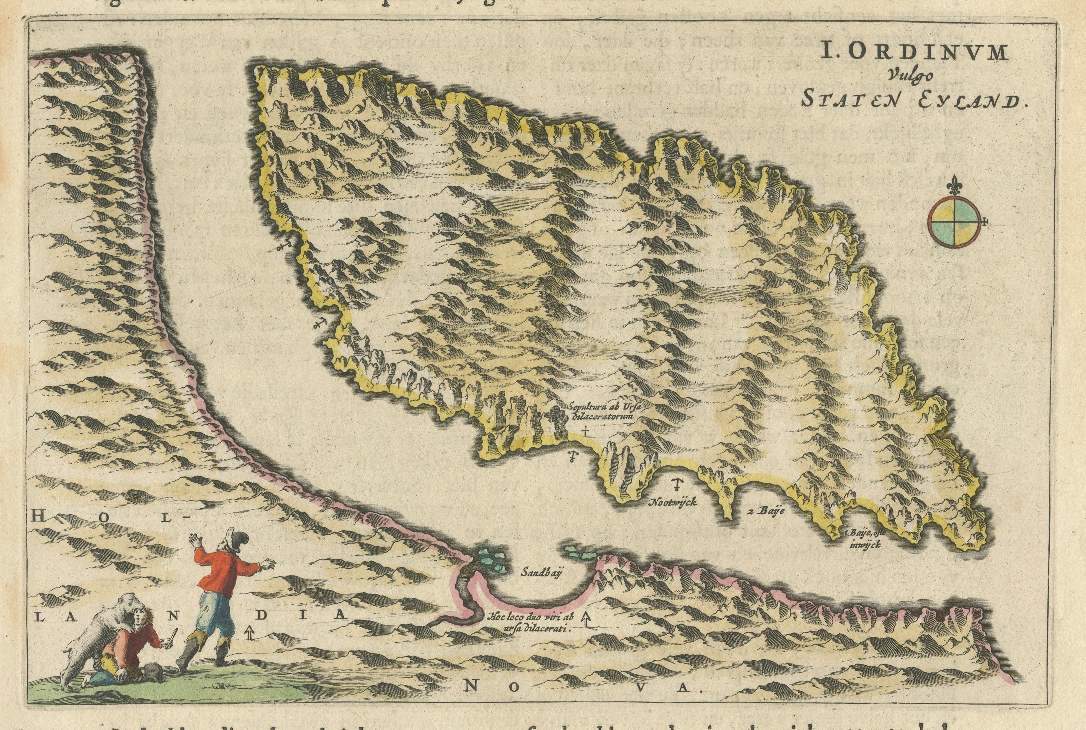
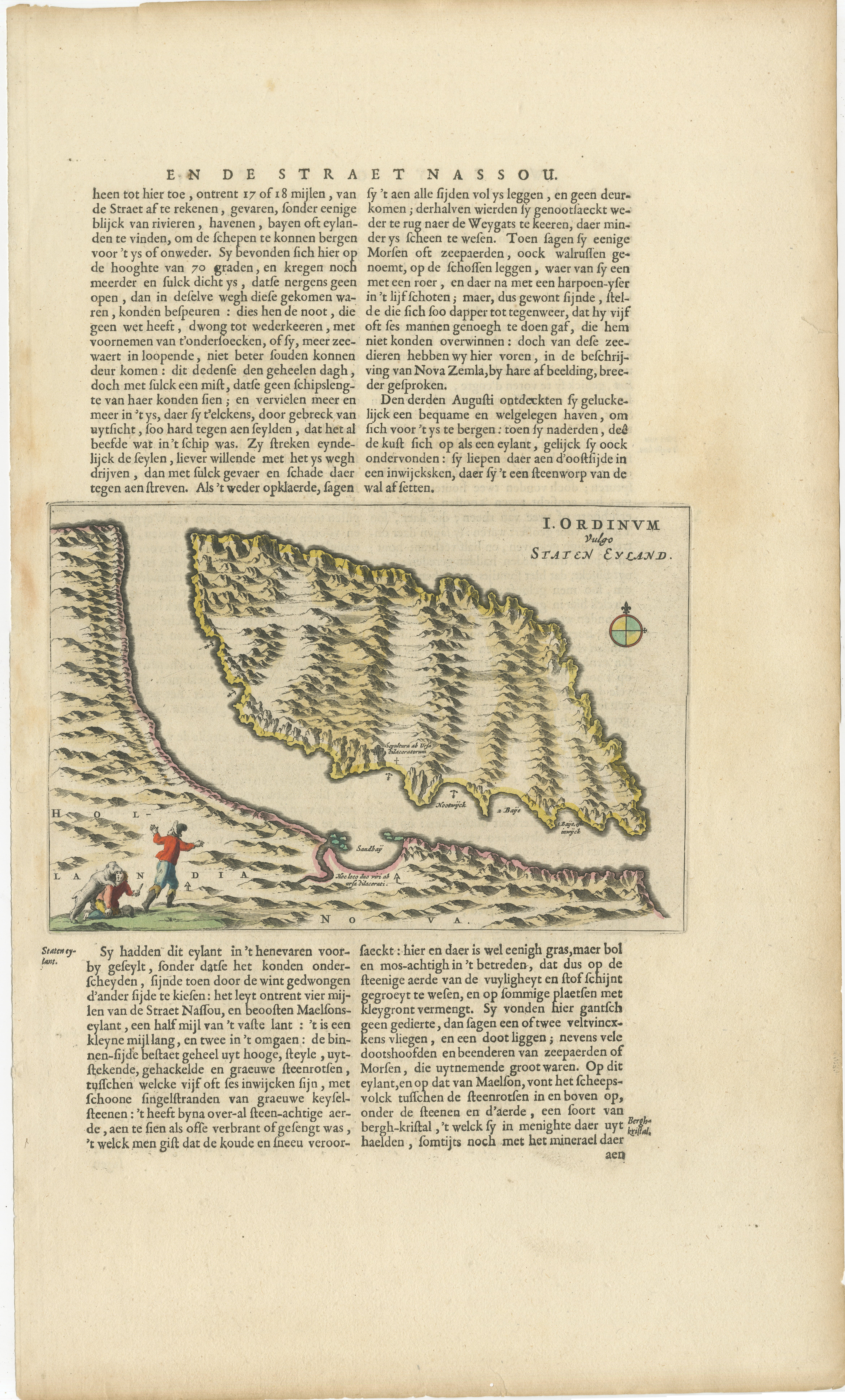
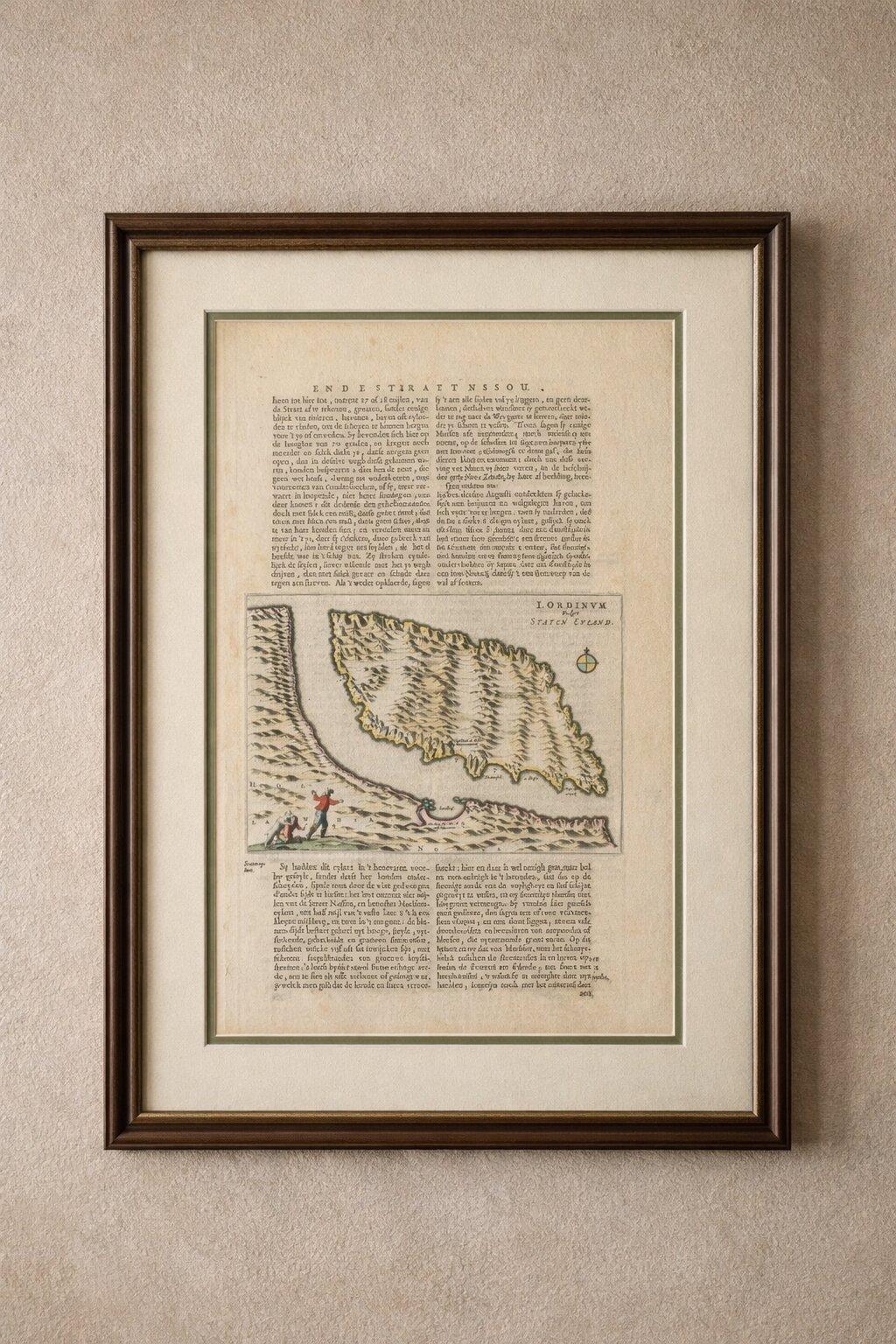
This rare and historically important engraving depicts Staten Eyland (Staten Island) off the coast of Nova Zembla (Novaya Zemlya) in the Arctic Ocean, based on the voyages of Dutch explorer Willem Barentsz in the late 16th century. The map is presented within a larger folio sheet featuring original Dutch letterpress text titled “Ende Straet Nassou,” referring to the Nassau Strait—an early name connected to Arctic exploration routes in the search for the Northeast Passage. Staten Eyland, shown here, corresponds to modern Ostrov Statena near Novaya Zemlya, not Vaygach Island.
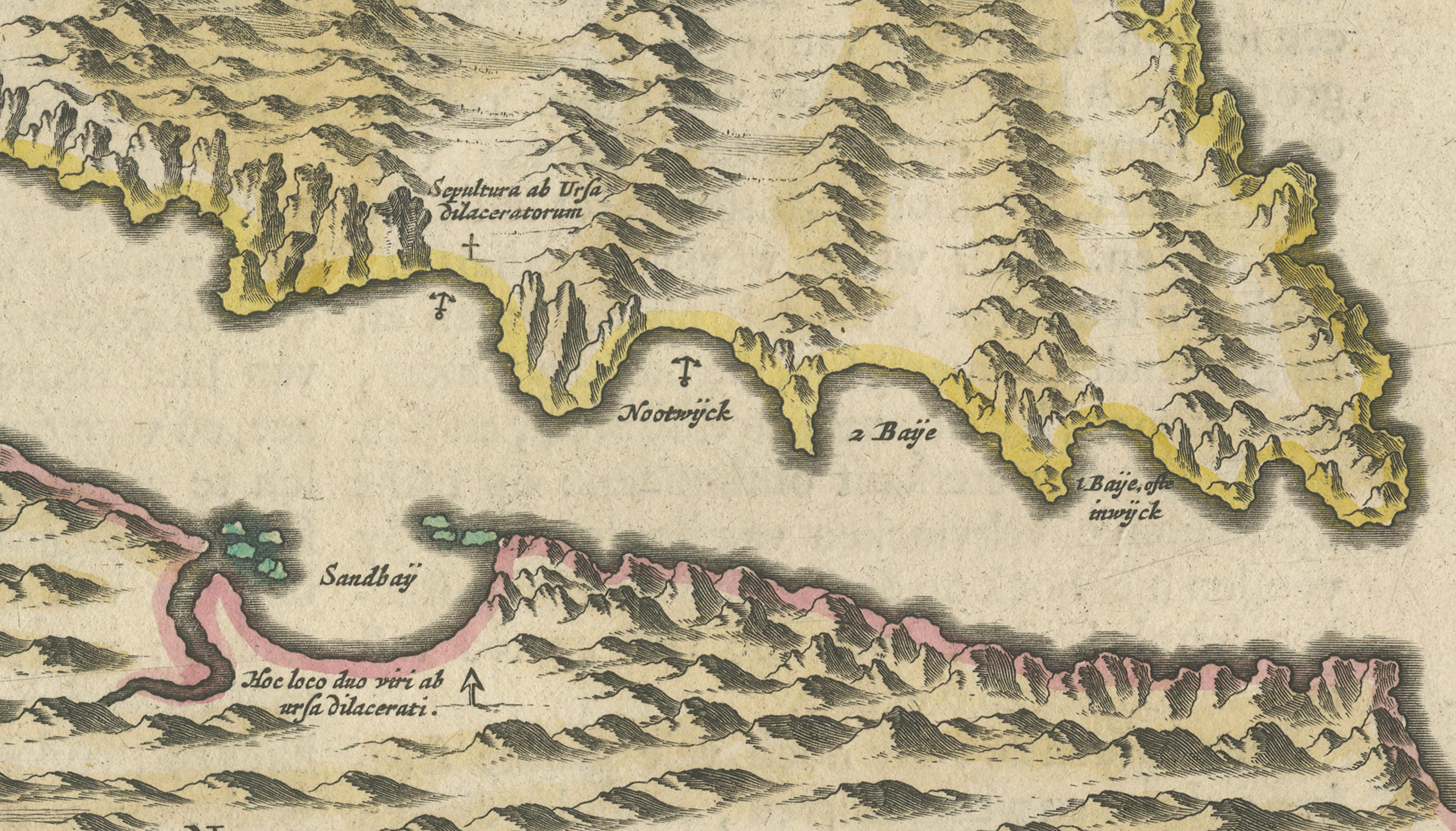
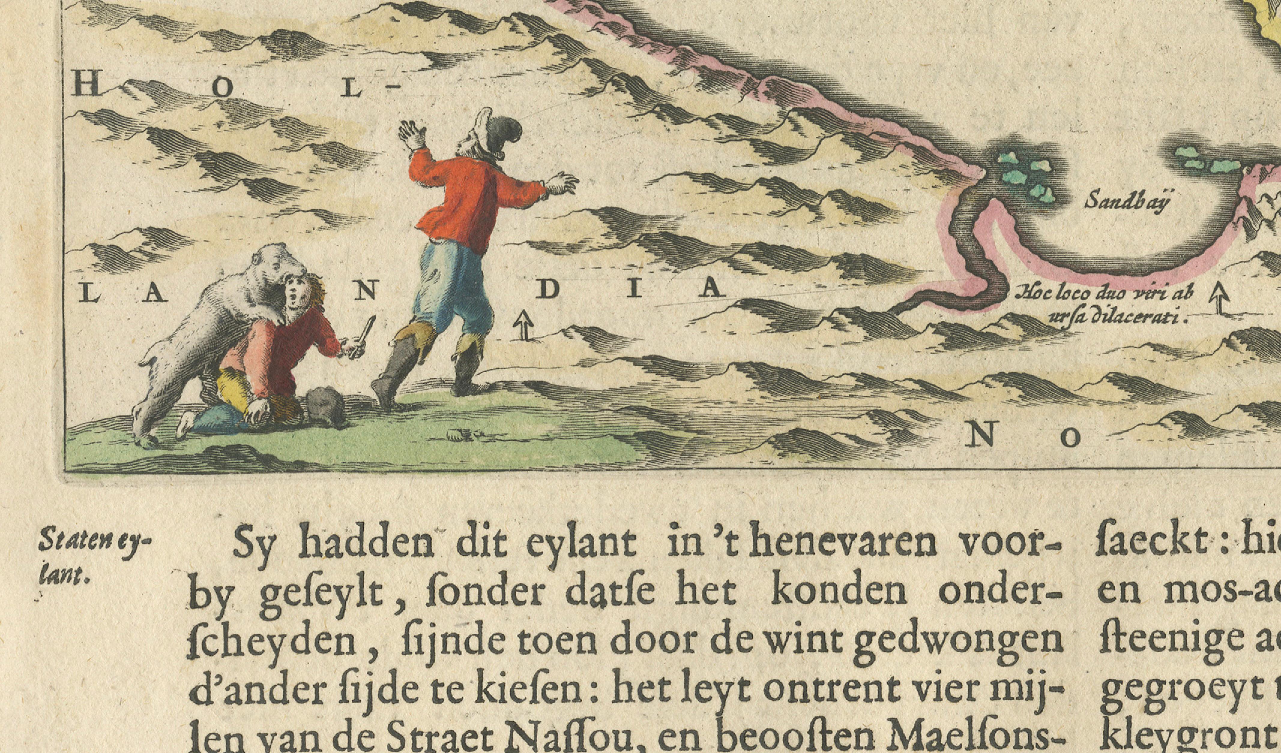
The engraving shows the rugged Arctic coastline in striking detail, with mountainous terrain rendered through fine hachuring and enhanced with original hand coloring. Coastal outlines are highlighted in yellow and soft pink tones, while bays such as “Sandbaij” and other geographic annotations reflect observations made during the expedition. The composition is both cartographic and narrative in nature.
A particularly engaging element appears in the lower left, where two explorers are confronted by a polar bear—an early and vivid depiction of Arctic wildlife encounters. This dramatic vignette adds strong decorative appeal and emphasizes the dangers faced by early explorers venturing into unknown polar regions.
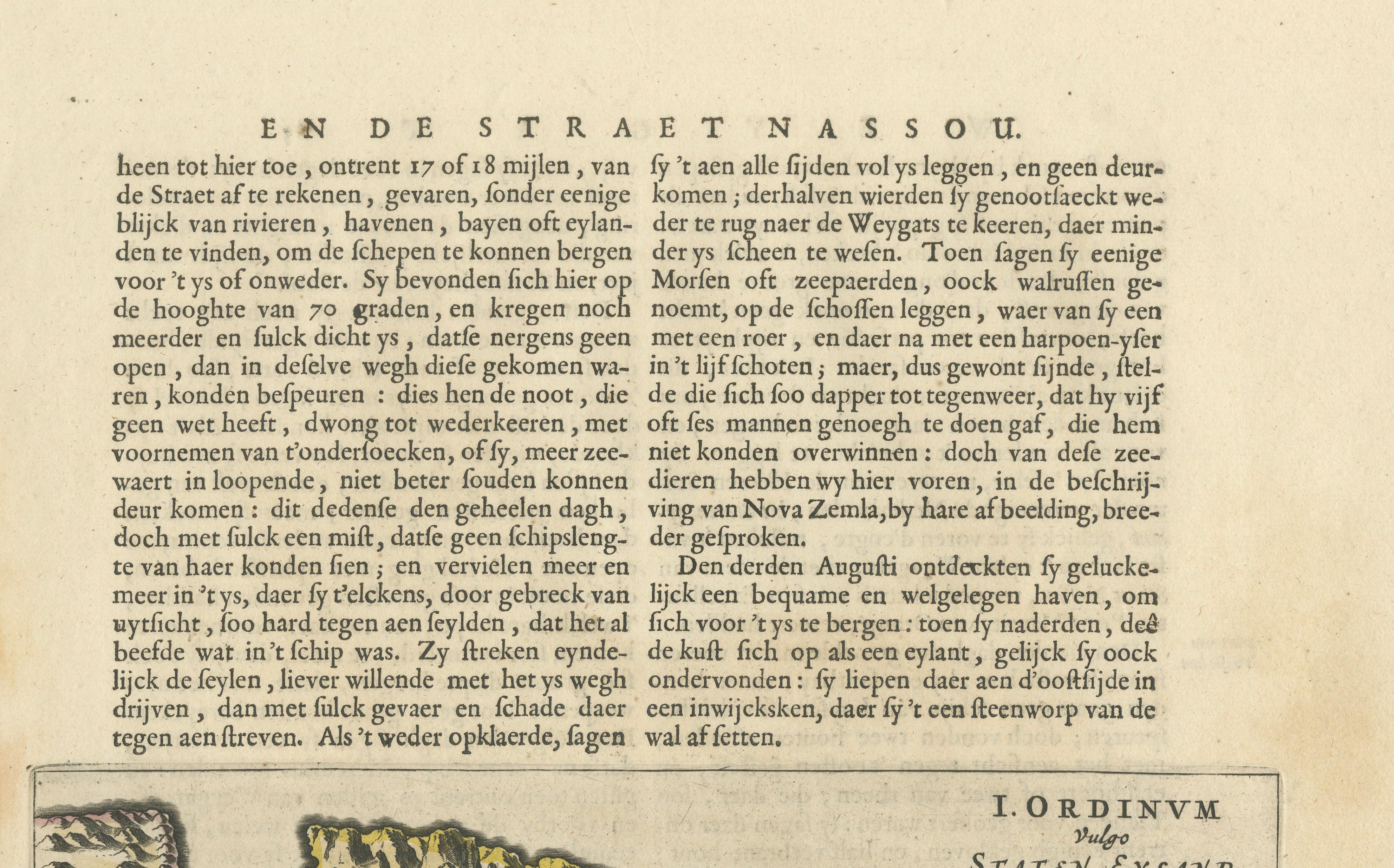
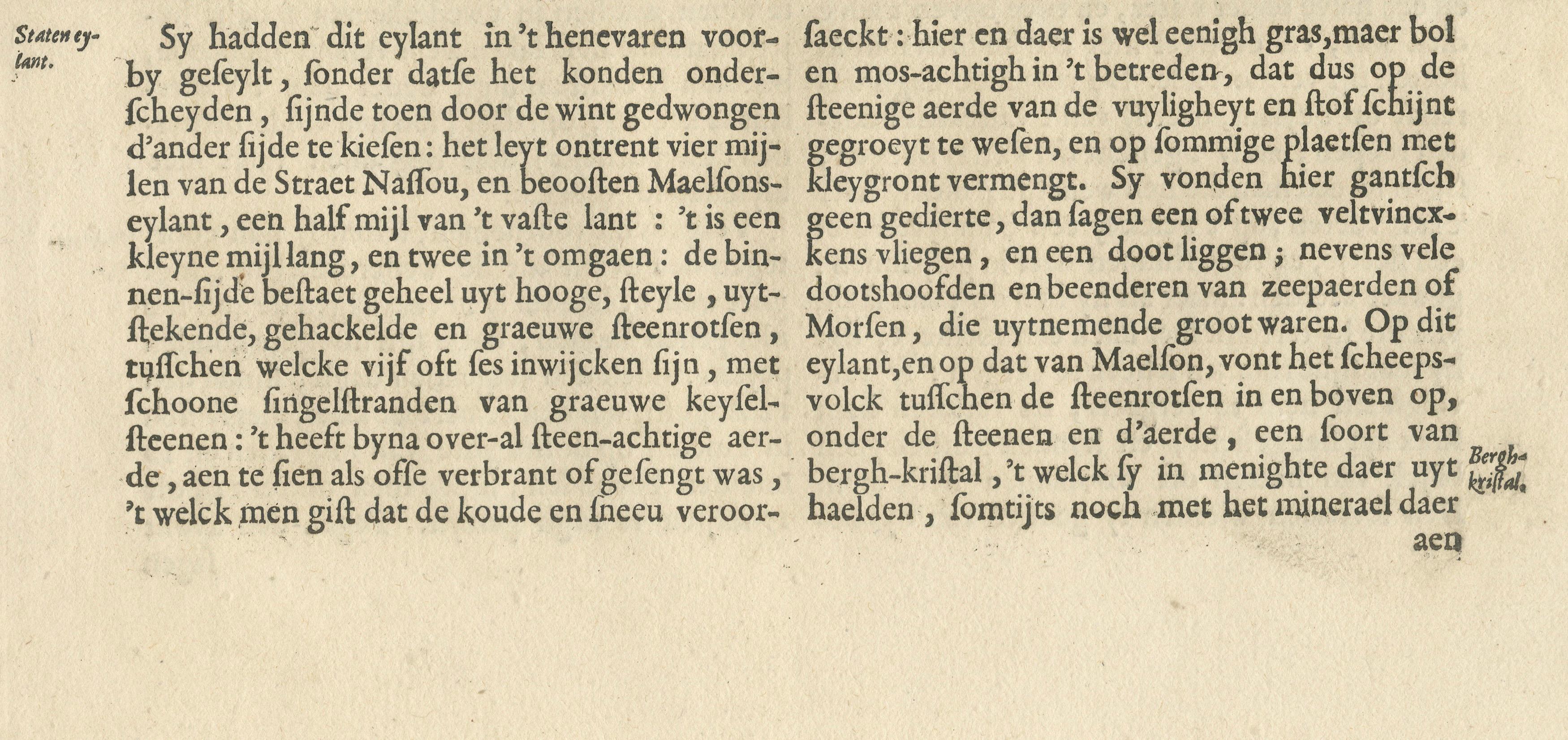
The accompanying Dutch text recounts Barentsz’s expedition as the crew navigated along the ice-bound coast at approximately 70 degrees latitude. They encountered heavy pack ice with no open passage, forcing them to turn back after repeated attempts to proceed. The narrative describes thick fog, drifting ice, and the constant danger of the ship striking ice floes. It also records encounters with walruses—then called “sea horses”—which required several men to overcome. The crew eventually discovered a small, barren island, noting its steep rocky cliffs, sparse vegetation, and harsh Arctic conditions. They observed traces of wildlife, including foxes and walrus remains, and even found crystalline mineral stones among the rocks. Together, the map and text form a compelling first-hand account of early Arctic exploration, combining geographic discovery with survival narrative and natural observation.
This engraving originates from one of the earliest published accounts of Barentsz’s voyages, likely after Gerrit de Veer, whose journal was first published in the late 16th century and became a key source for European understanding of the Arctic. Complete examples combining map and text are increasingly scarce and highly desirable.
A highly collectible work for those interested in early exploration, Arctic history, or Dutch Golden Age cartography, offering both historical significance and strong visual impact.
Condition: Good condition with age-related toning and light soiling. Minor spotting and faint staining, mainly in the margins. Original fold line visible as issued. The engraving remains sharp with strong contrast and retains original hand coloring. Overall a well-preserved and attractive example.
Framing tips: Best presented in a museum-style frame with a wide warm ivory or off-white mat to showcase the full sheet, including the surrounding text. A dark walnut or ebonized frame enhances contrast and gives a refined, scholarly appearance. Ideal for a study, library, or maritime or exploration-themed interior.
All items we offer are authentic period works of art over 100 years old. The map is sold unframed; any framed images are shown for presentation and interior inspiration only.
Technique: Copper engraving with original hand coloring
Maker: After Willem Barentsz / Gerrit de Veer, Dutch, late 16th century