About this sheet
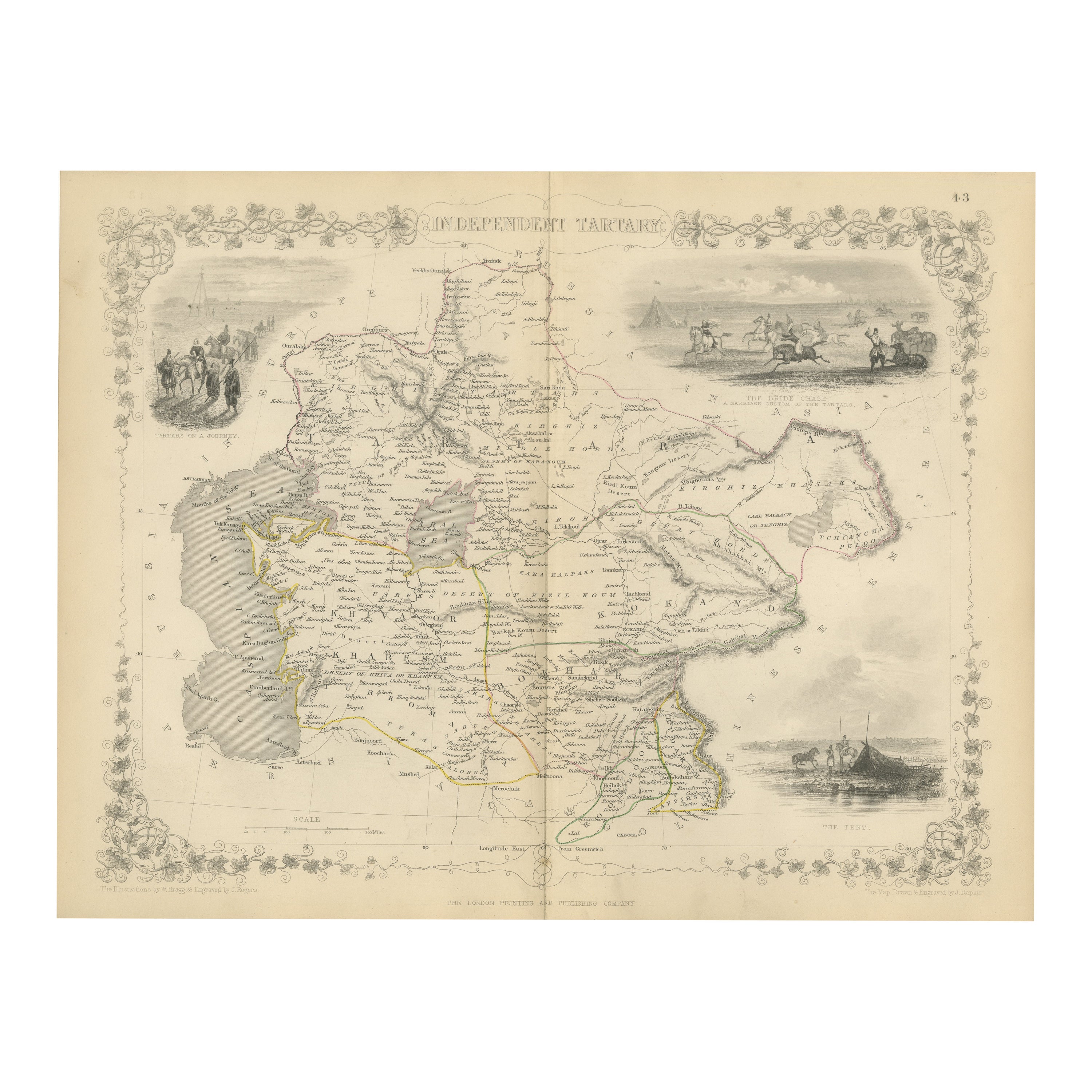
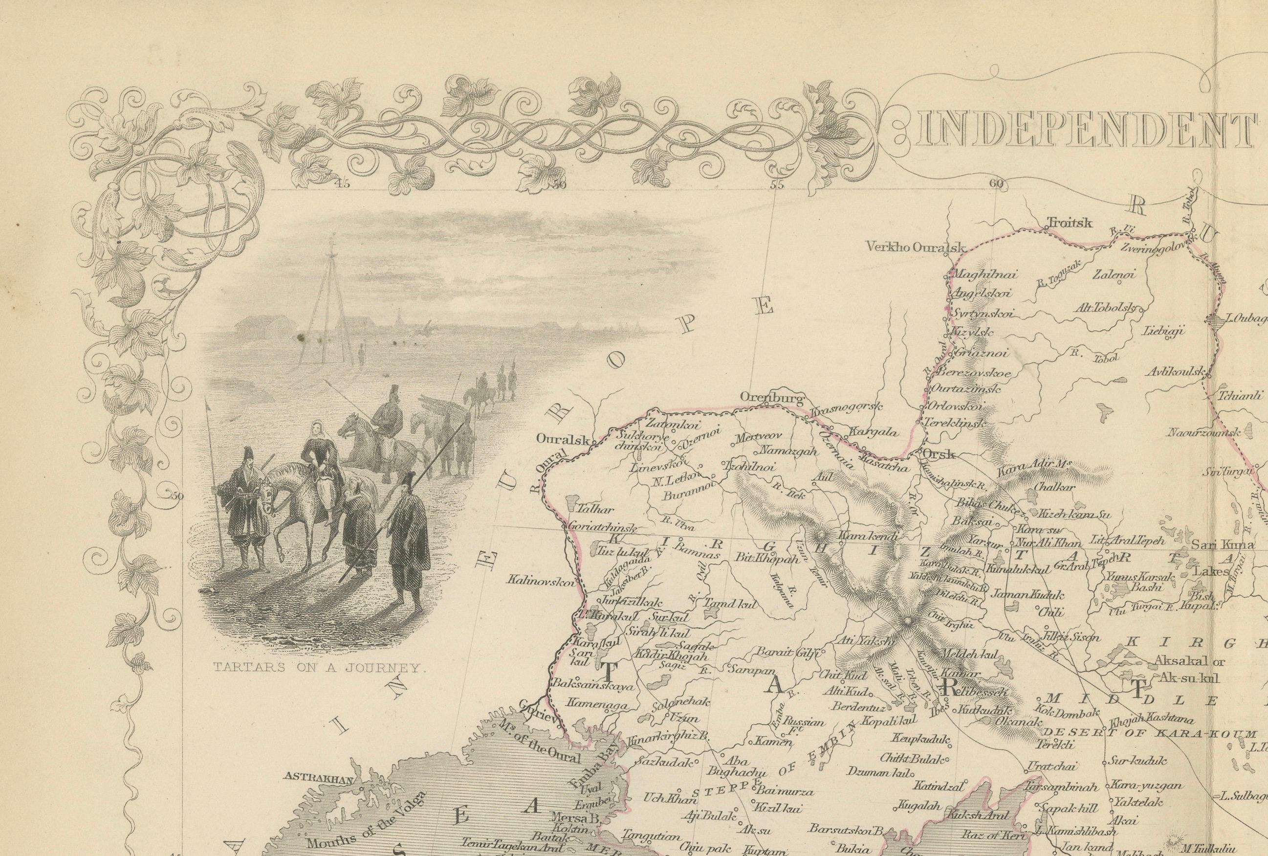
The map of Independent Tartary is part of the collection by John Tallis & Company, which were unique for their elaborate decorative elements and detailed illustrations.
The Maker - John Tallis & Company:
Known for the high level of detail and ornate borders, Tallis maps are works of art in the field of cartography. John Tallis, the founder, along with his company, are celebrated for their mid-19th-century maps that combined precise geographic detail with engaging artistic embellishments.
The Map - Independent Tartary:
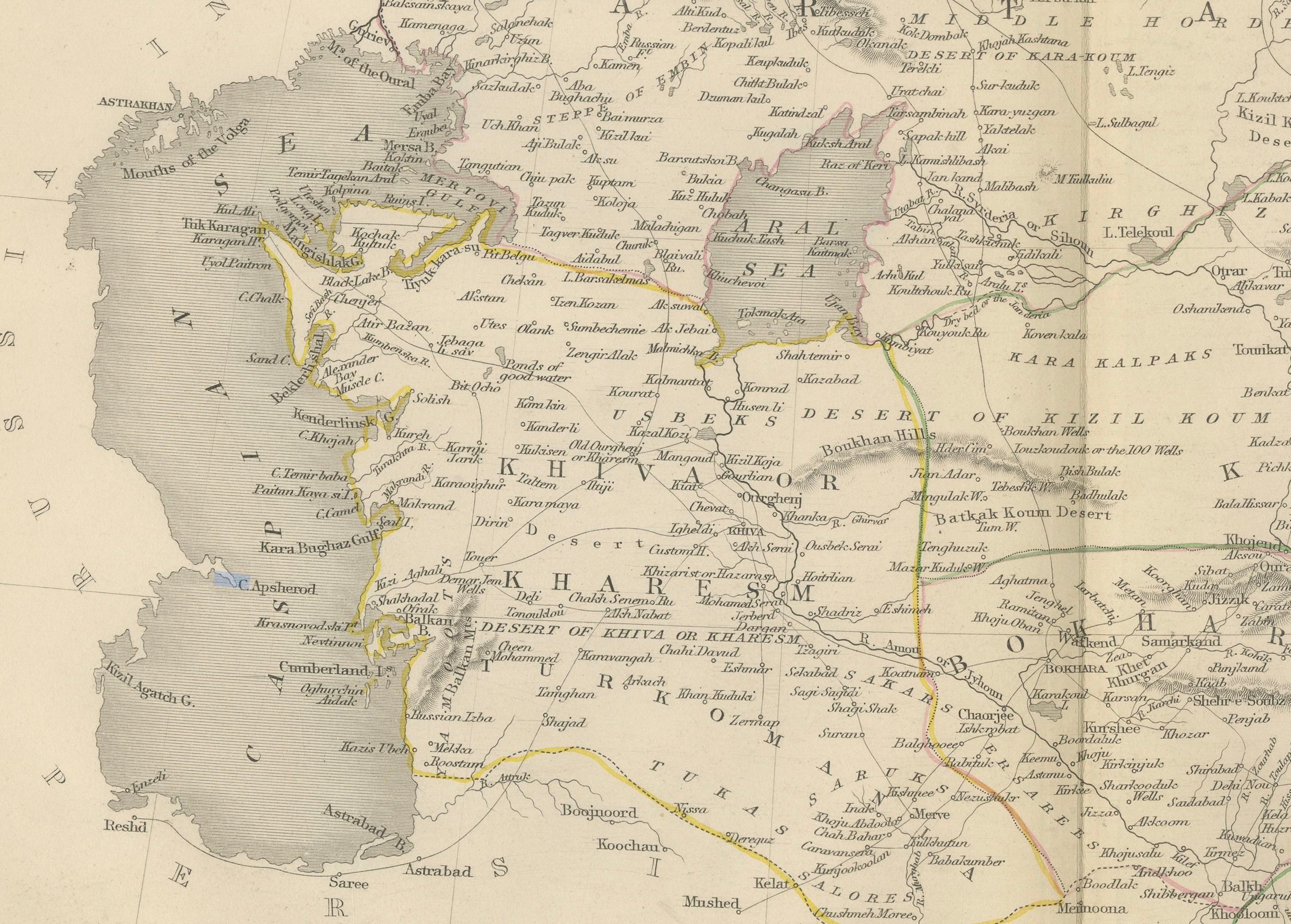
"Independent Tartary" referred to the region of Central Asia that was not under the control of Russia or other major powers at the time. This would have included parts of what is now Turkmenistan, Kazakhstan, Tajikistan, Uzbekistan, and Kyrgyzstan. It was a region known for its nomadic cultures, significant trade routes like the Silk Road, and strategic geopolitical importance.
The Countries and the Tallis Series:
The regions depicted were historically home to various Turkic and Mongolic peoples, and the map would have been part of efforts to better understand the geography and political divisions of an area of considerable interest to the British Empire and other European powers.
The series "The British Colonies" by Robert Montgomery Martin aimed to provide detailed accounts of areas under British influence as well as those of interest to British explorers, traders, and diplomats. Though not a British colony, Independent Tartary would have been included due to its strategic importance.
The Images on the Map:
The vignettes and scenes in the Tallis maps serve to illustrate aspects of local life, culture, and geography, and they often include:
- Scenes of local people and their daily activities, such as traveling or hunting, depicted in the region’s vast and varied landscapes.
- Important landmarks or typical architecture of the region.
- Scenes of trade or transportation, reflecting the economic activities in the area.
These maps are a bridge between art and practical cartography, offering a window into the past perceptions and understandings of regions that were largely mysterious to the Western world at the time. They are prized by collectors today for their unique combination of accurate cartographic detail and artistic interpretation.
More details on the insets:
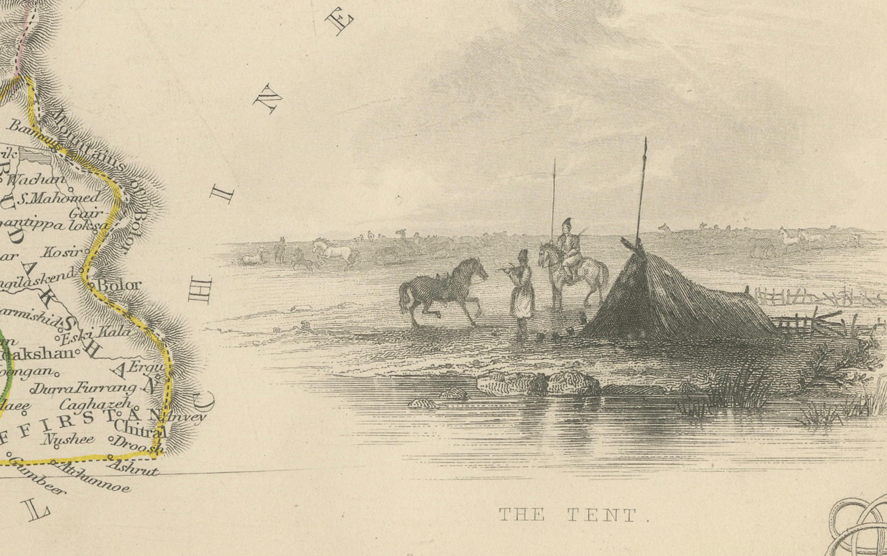
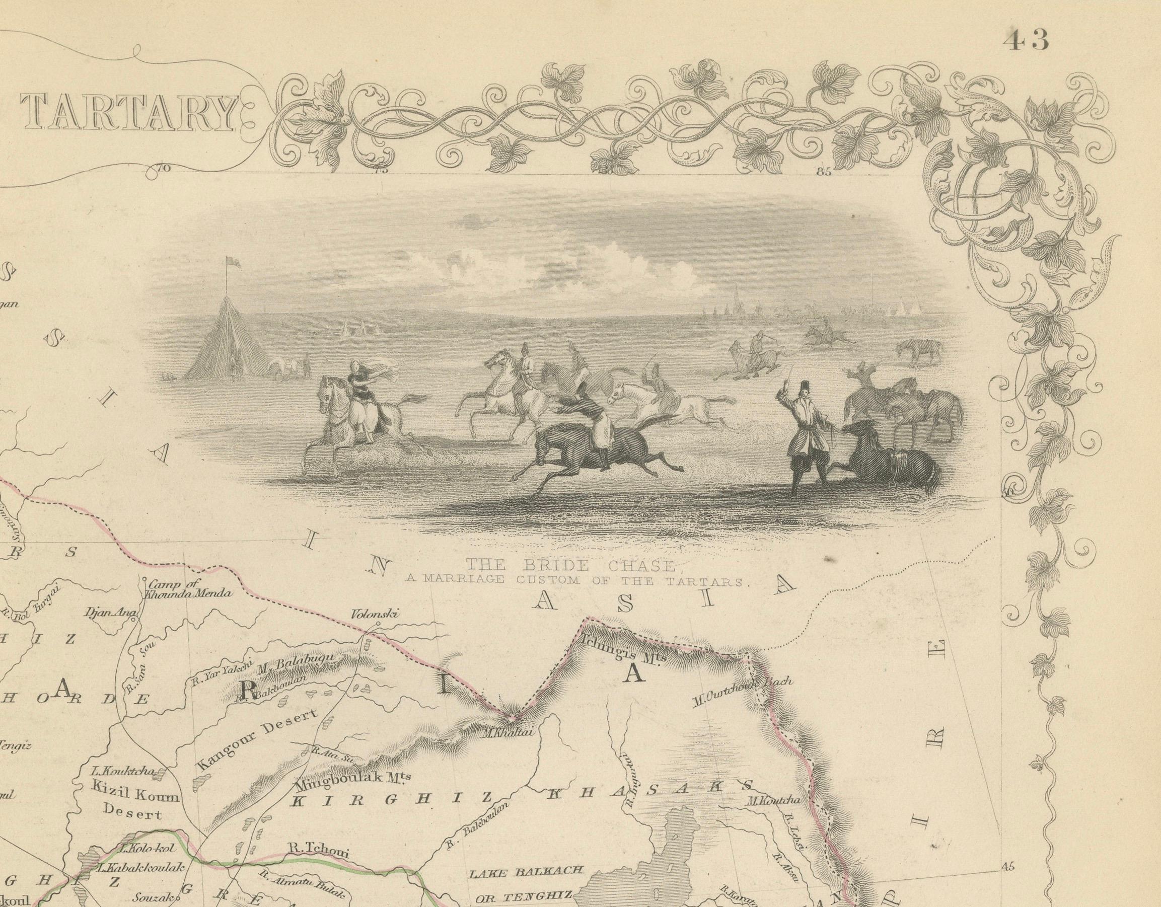
The insets on the map of Independent Tartary showcase various cultural and social aspects of the region:
1. **The Tent**: This inset likely illustrates the nomadic lifestyle of the peoples of the Central Asian steppes. The tent shown is a traditional yurt, which is portable and commonly used by nomadic tribes in the region.
2. **The Bride Chase**: Depicting a marriage custom of the Tartars, this scene shows horsemen and possibly a horse-drawn carriage involved in a ritual or celebration, which could involve the groom having to chase the bride on horseback as part of the matrimonial traditions.
3. **Tartars on a Journey**: This vignette presents a group of Tartars traveling, possibly depicting a caravan with loaded camels or horses, showing the nomadic nature of life on the steppes.
These insets were designed to give map readers a glimpse into the way of life and traditions of the people who lived in the vast region known as Independent Tartary, which spanned much of what is now Central Asia. The detailed artwork in these insets adds both charm and educational value to the map, reflecting the 19th-century European interest in exotic cultures and distant lands.