Gateway to the Steppes: Tallis's Masterpiece Map of Indepent Tartary, 1851
€ 330
One of a kind: this is the sheet in the photographs. Ships from Langweer, the Netherlands.
Date
1851
Sheet size
27 × 36 cm (10.6 × 14.2 in)
Reference
BG-00704
Condition
good, given age. General age-related toning and/or occasional minor defects from handling, especially around the borders. Fold Line (flattened) in middle as issued. Please study scan carefully.
About this sheet
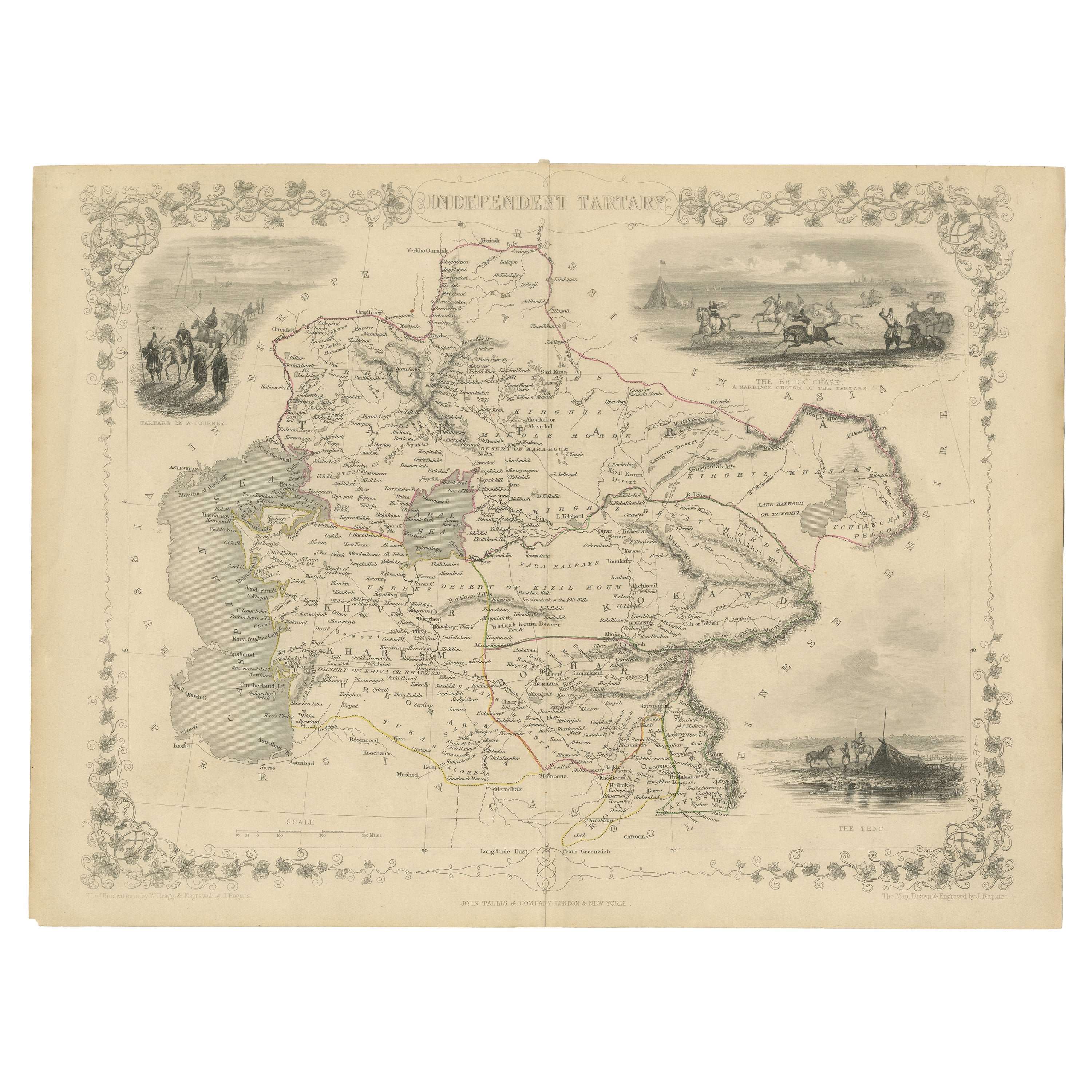
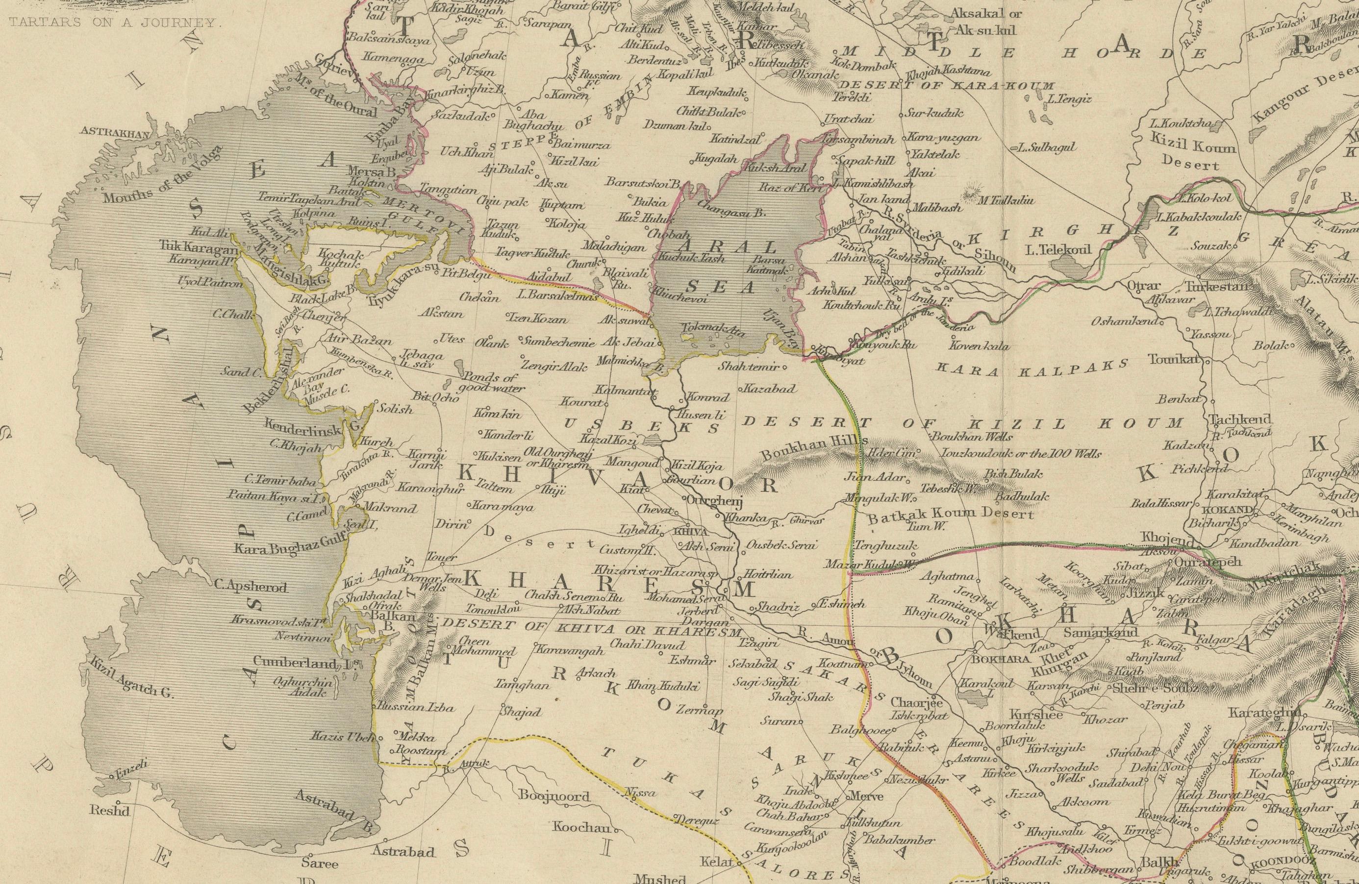
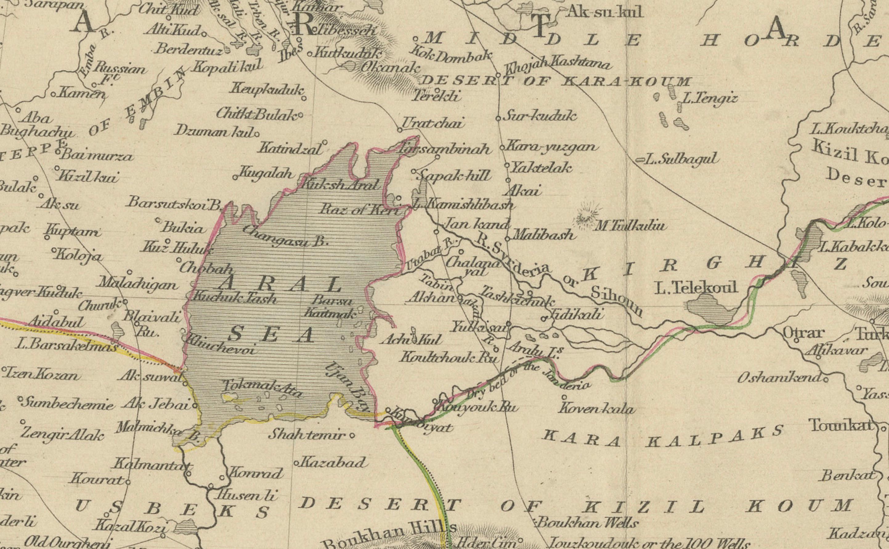
The map is of "Independent Tartary," a historical region in Central Asia that covered parts of what are now Kazakhstan, Uzbekistan, Turkmenistan, and surrounding areas. The map was published by John Tallis & Company, renowned for their detailed and decorative mid-19th century maps.
Description of the Map - **Geographical Coverage**: The map outlines the vast expanse of Independent Tartary, depicting major cities, rivers, mountain ranges, and deserts with detailed topography. - **Borders and Territories**: It delineates borders clearly, highlighting the region's geopolitical divisions during that era. - **Transport and Trade Routes**: Various routes are shown, likely caravan routes that were important for trade across Central Asia.
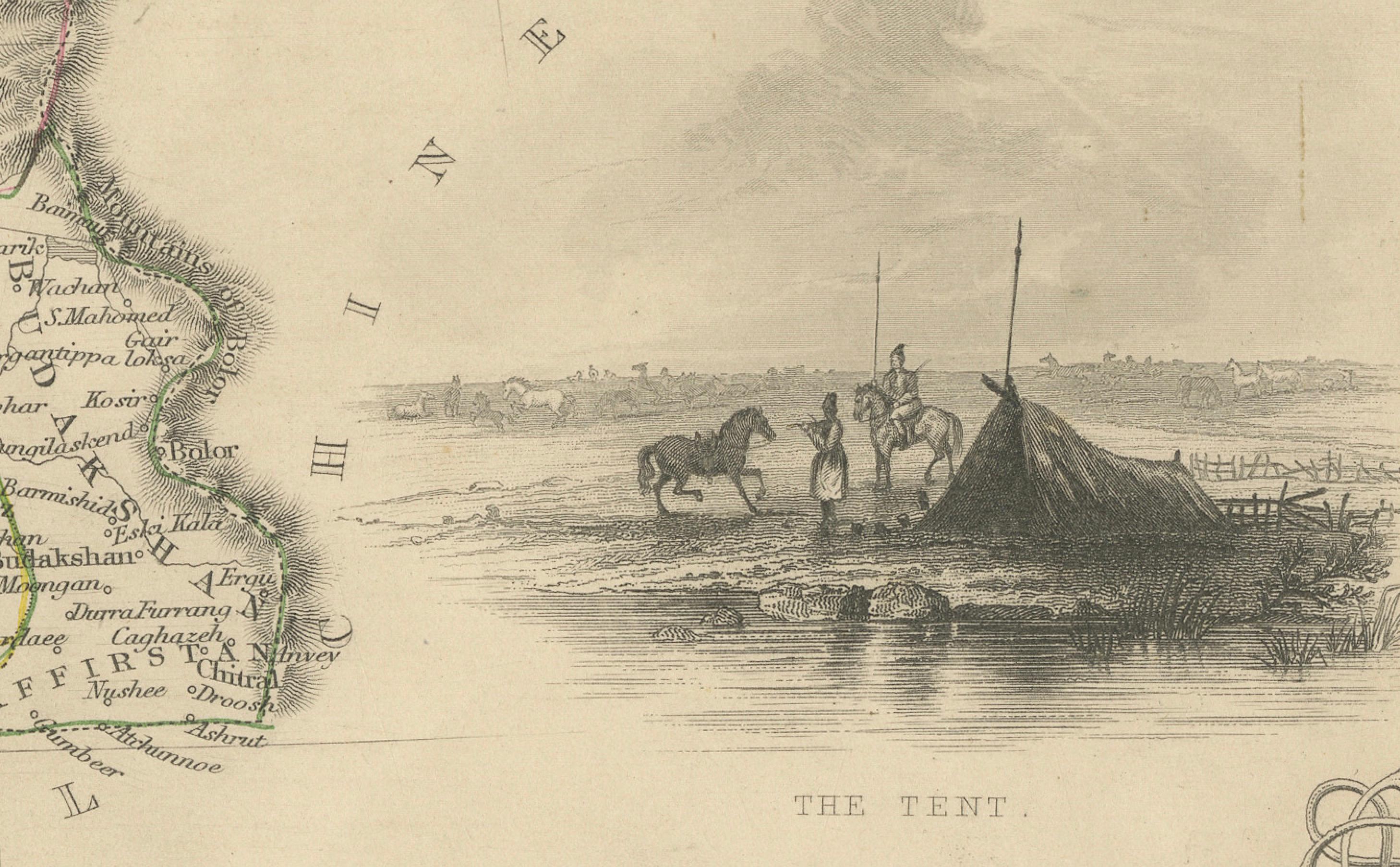
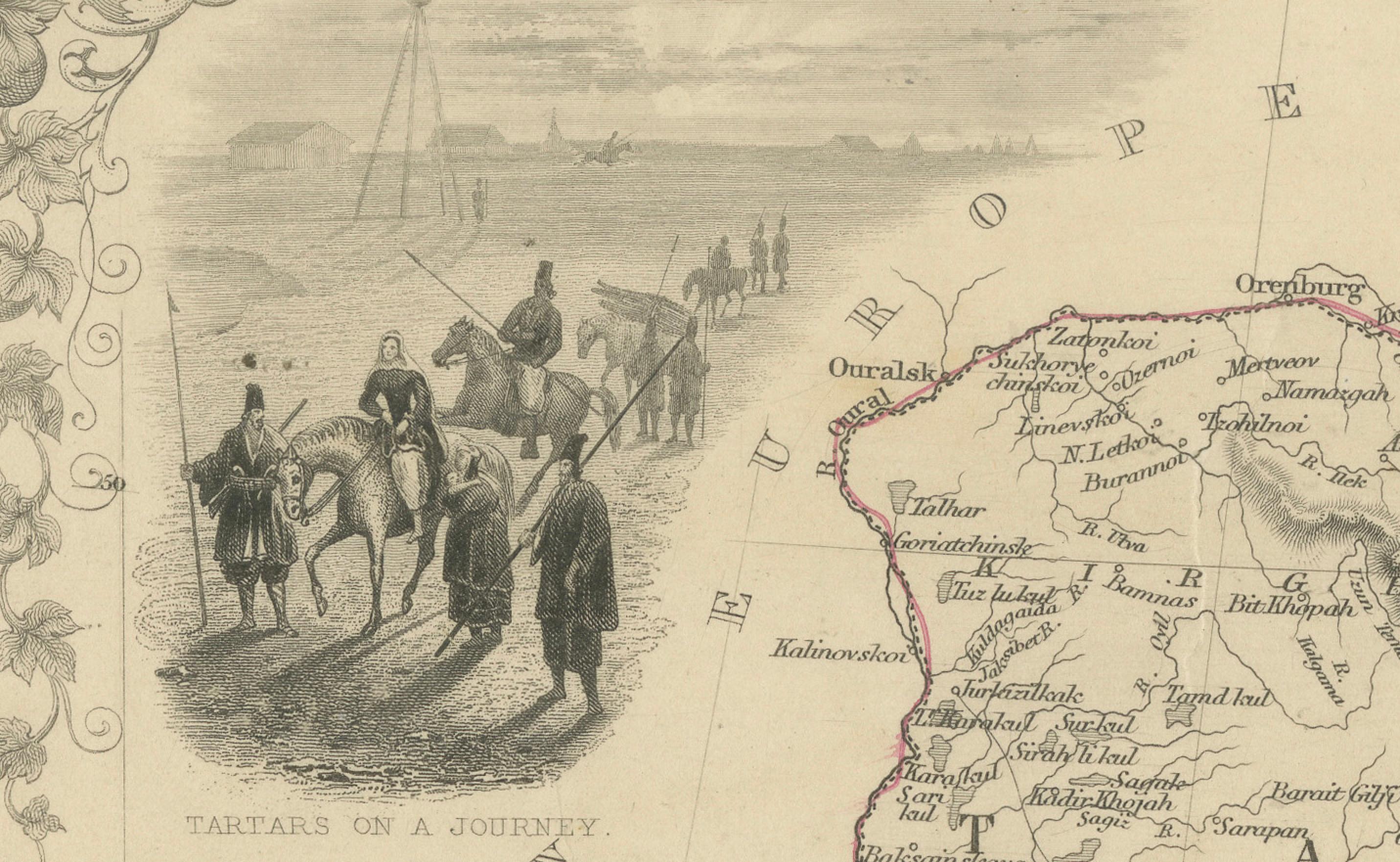
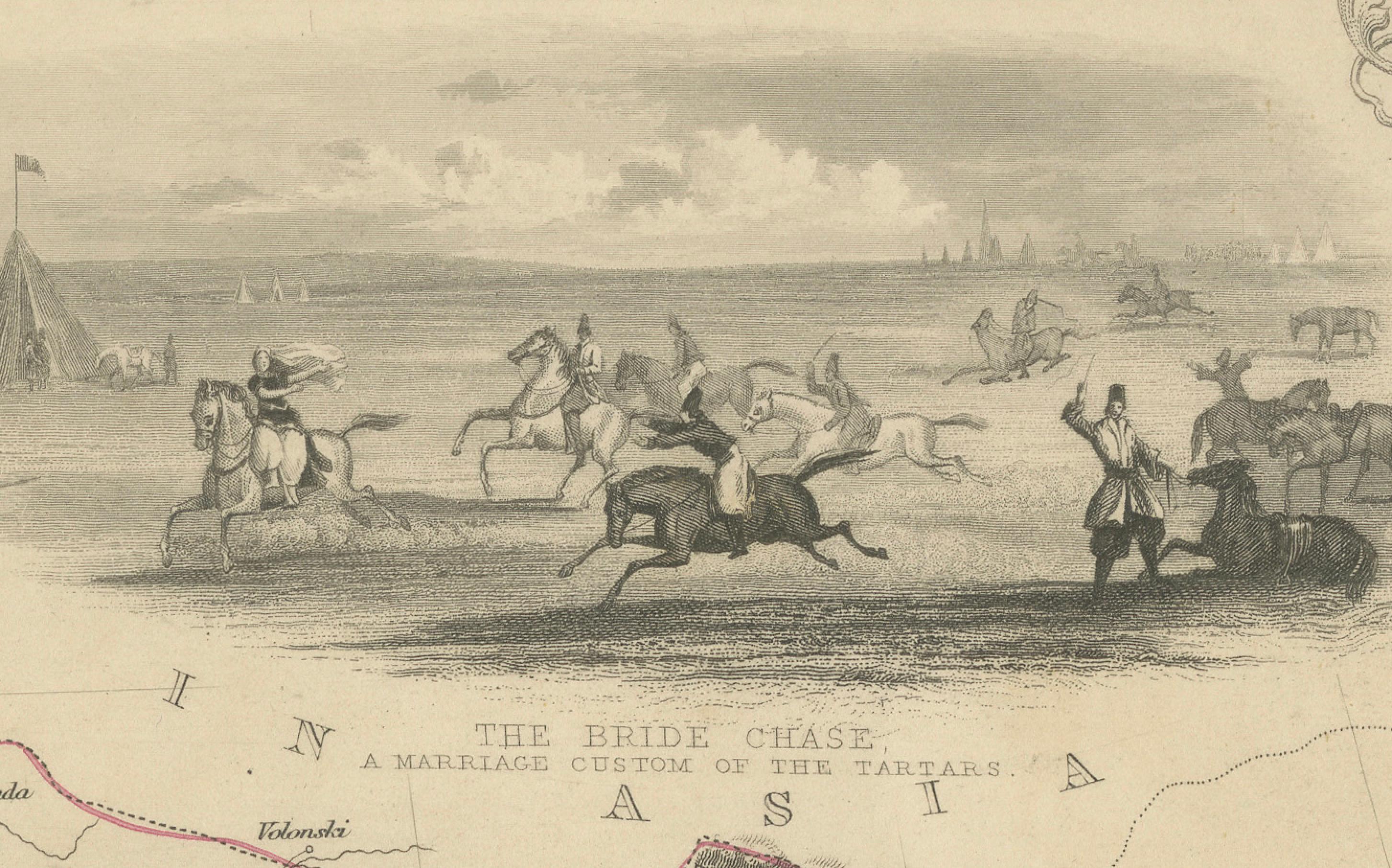
Vignettes and Decorative Elements The map is adorned with decorative vignettes that are typical of Tallis maps, providing insights into the culture and environment of the region: 1. Tartars on a Journey: Shows a group of Tartars traveling, possibly depicting their nomadic lifestyle. 2. The Bride Chase: Illustrates a local custom or event, providing a glimpse into social or ceremonial aspects of Tartar life. 3. The Tent: Depicts a traditional dwelling, reflecting everyday life and habitat in the region.
Significance of the Map:
This map is significant for several reasons:
- Cultural Representation: It visually captures the culture and geography of a less commonly mapped area of the world during the 19th century. - Historical Context: Independent Tartary was an area of strategic interest, particularly during the Great Game—a period of intense rivalry between the British Empire and Tsarist Russia for control over Central Asia. - Artistic Merit: Tallis maps are renowned for their artistic detail and historical accuracy, making them valuable for collectors and historians alike.
Special Features:
The integration of detailed vignettes and a focus on cultural representations make this map not only a geographical tool but also an ethnographic artifact, offering deeper understanding of the region's social fabric and lifestyle during the 19th century.
This map would attract buyers interested in Central Asian history, the art of cartography, and the cultural dynamics of historical nomadic societies, emphasizing the map’s unique artistic and cultural elements.