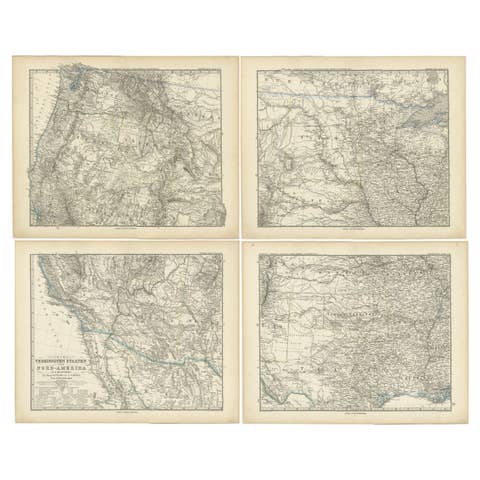
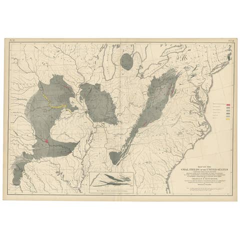
About this sheet
Stanford’s Smaller Railway Map of the United States, 1876
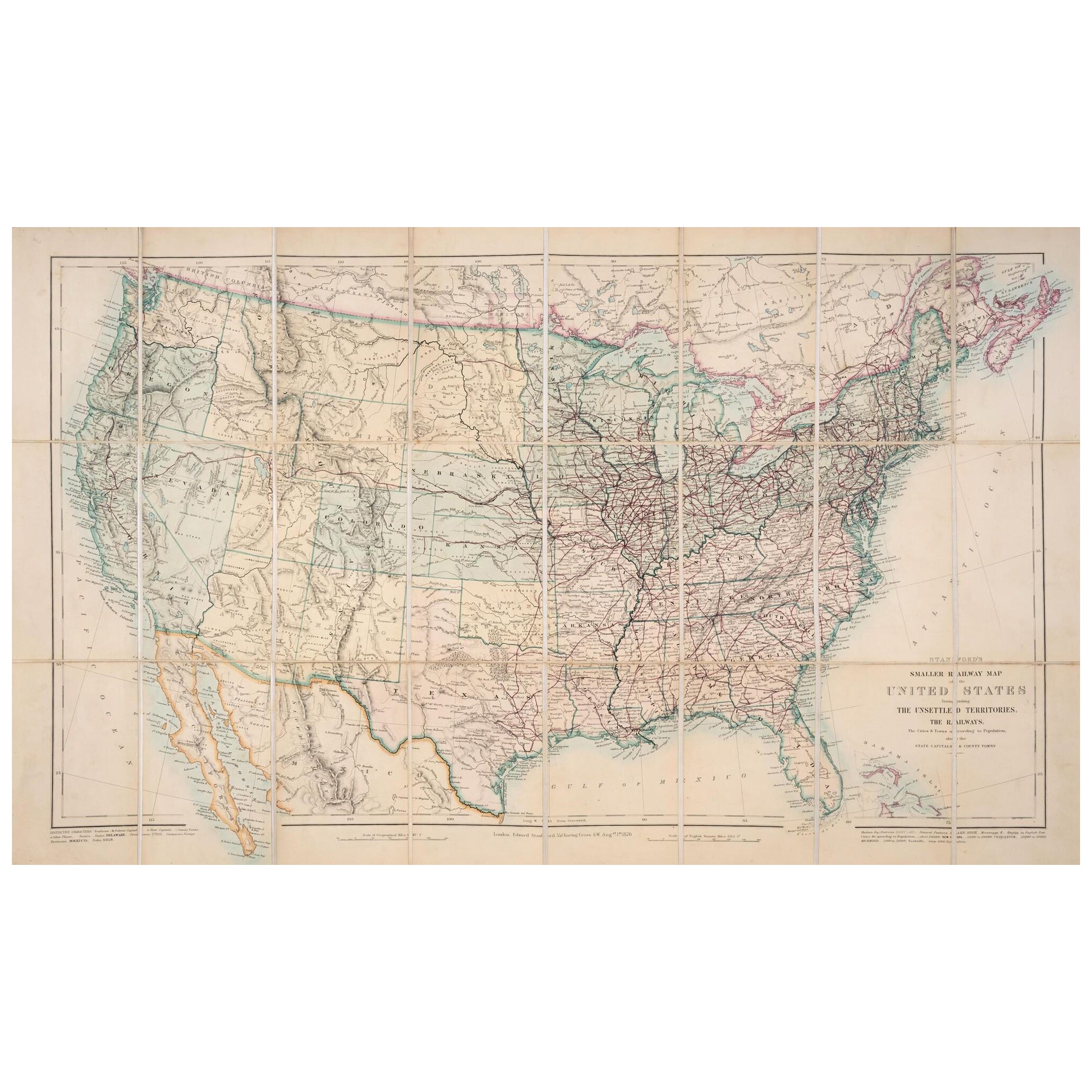
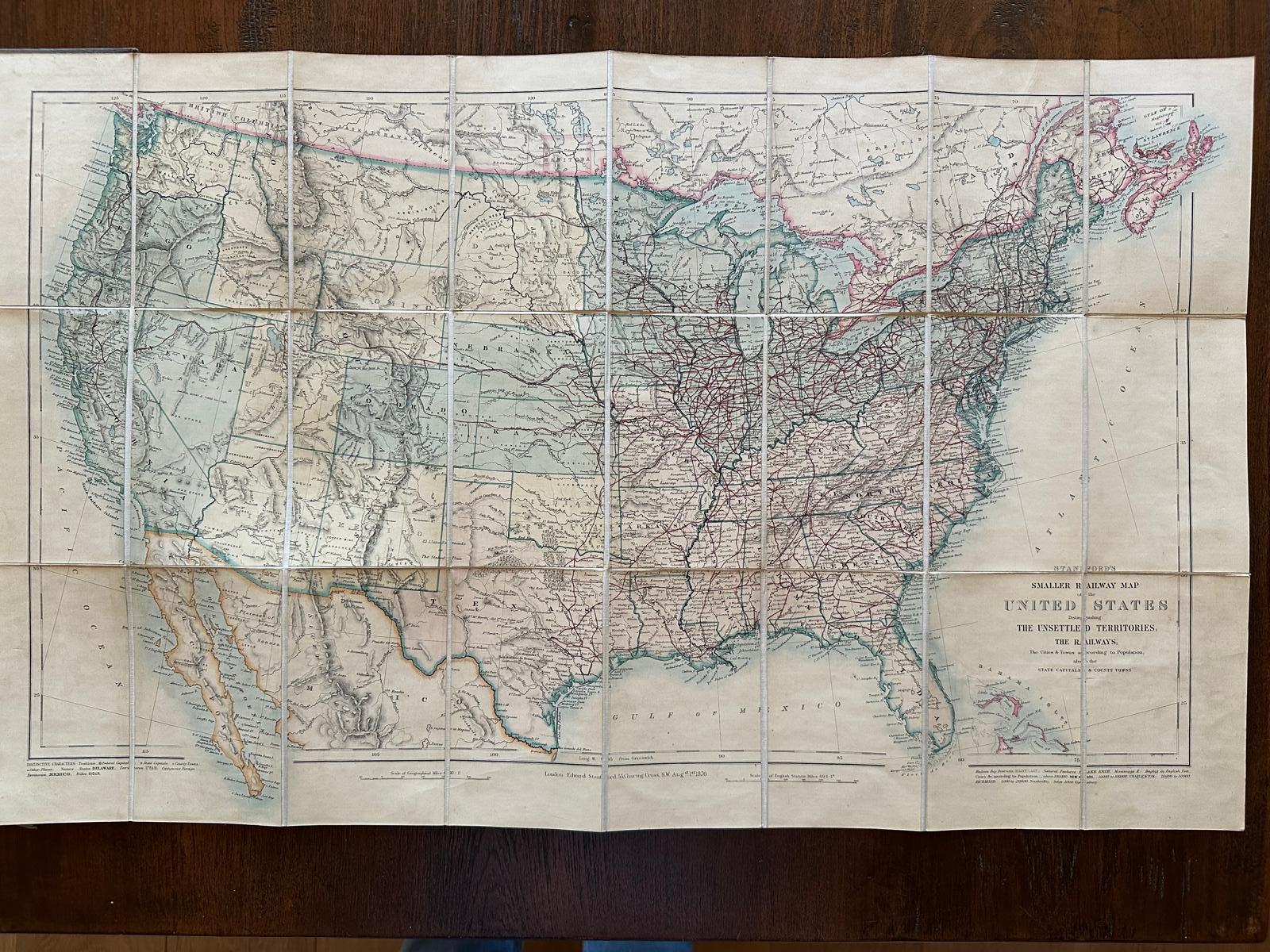
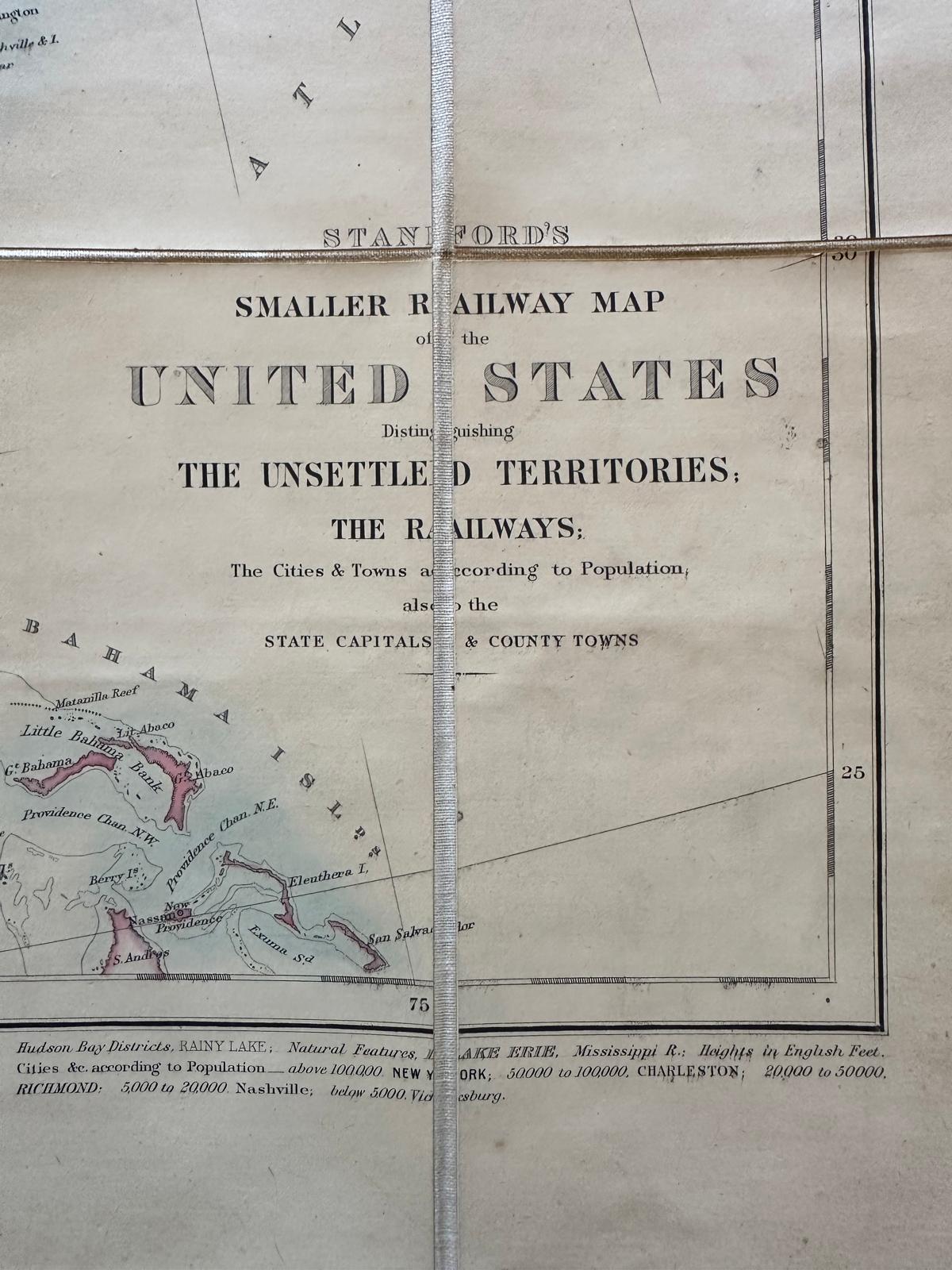
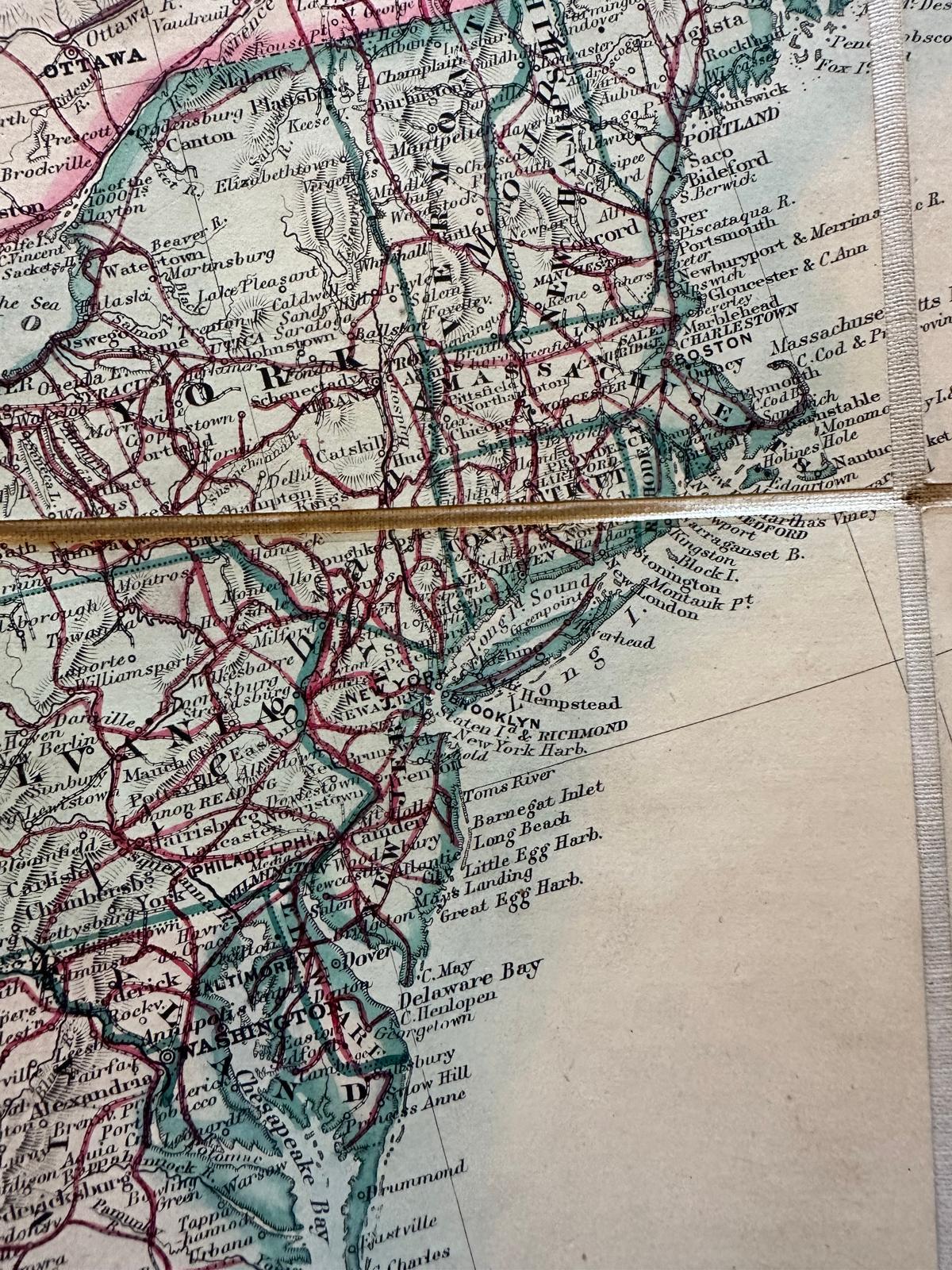
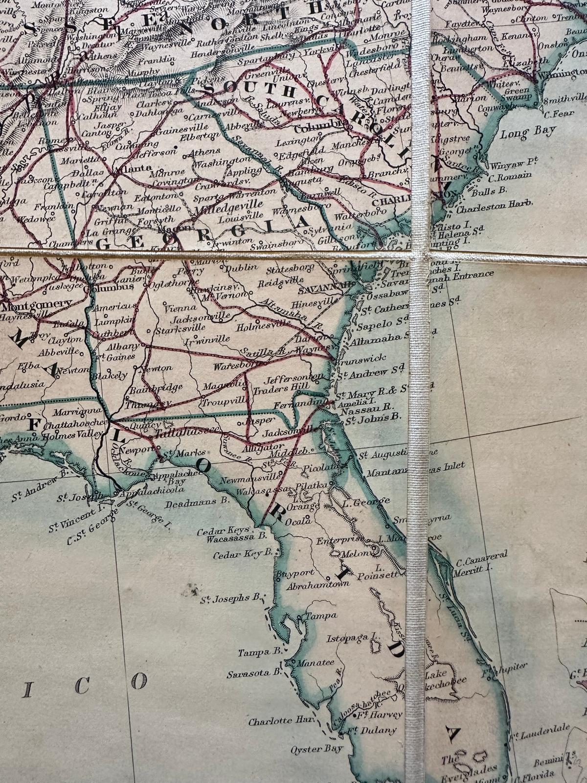
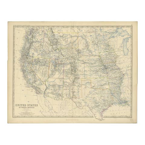
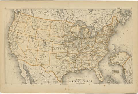
This original 1876 map, titled "Stanford's Smaller Railway Map of the United States Distinguishing the Unsettled Territories; The Railways; The Cities and Towns According to Population," is a lithographed and hand-colored work that provides a detailed overview of the railway networks and demographic distribution of the era.
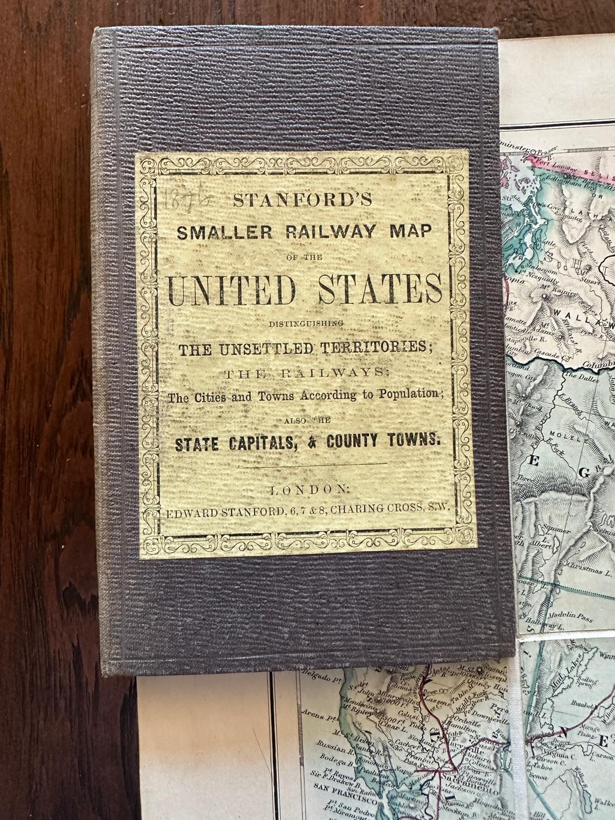
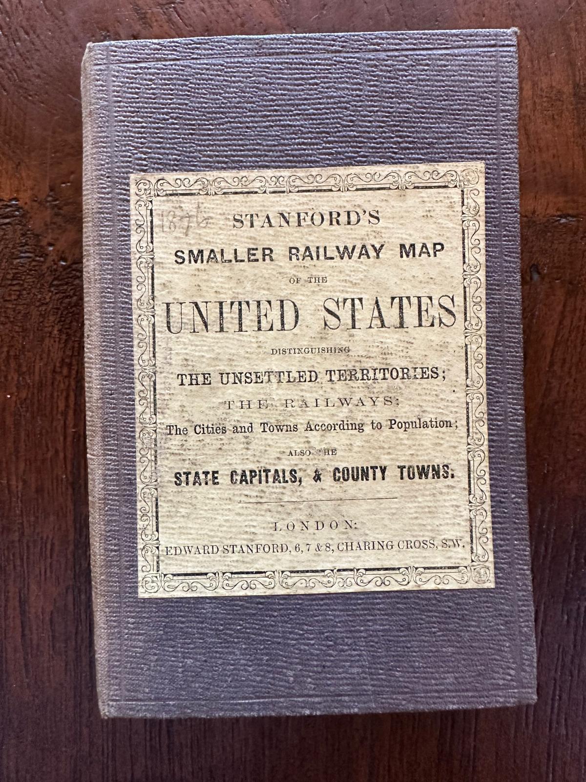
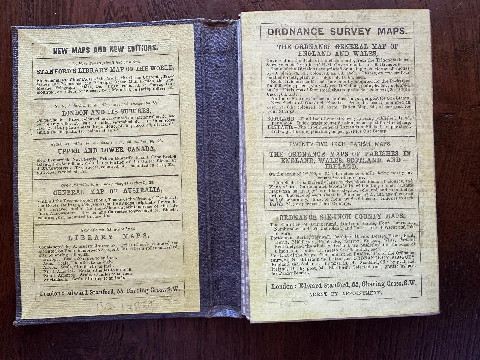
Measuring 460 x 760 mm (18 x 29 3/4 in), it is dissected and mounted on linen, suggesting durability and ease of use. The map is detailed with minor surface dirt evident, indicative of its age and historical value. It folds neatly into original cloth boards, which are worn but hold significant historical charm. The cover is adorned with the publisher’s yellow label, identifying its origins and authenticity. This artifact not only serves as a functional railway map but also as a historical document, reflecting the developmental state of the United States during the late 19th century.
The map reflects the United States during a pivotal era in its development. Here are some important elements and places as depicted on the map:
1. Railways: The extensive network of railways highlighted indicates the rapid expansion and importance of rail transport across the continent, crucial for economic growth and the settlement of new areas.
2. Unsettled Territories: Large portions of the map, particularly in the west, are marked as unsettled territories. This reflects ongoing westward expansion and the impact of the Homestead Act of 1862, which encouraged the settlement of these areas.
3. Cities and Towns: The map distinguishes cities and towns according to population, giving insight into urban development at the time. Major cities like New York, Chicago, and San Francisco are likely marked as significant urban centers.
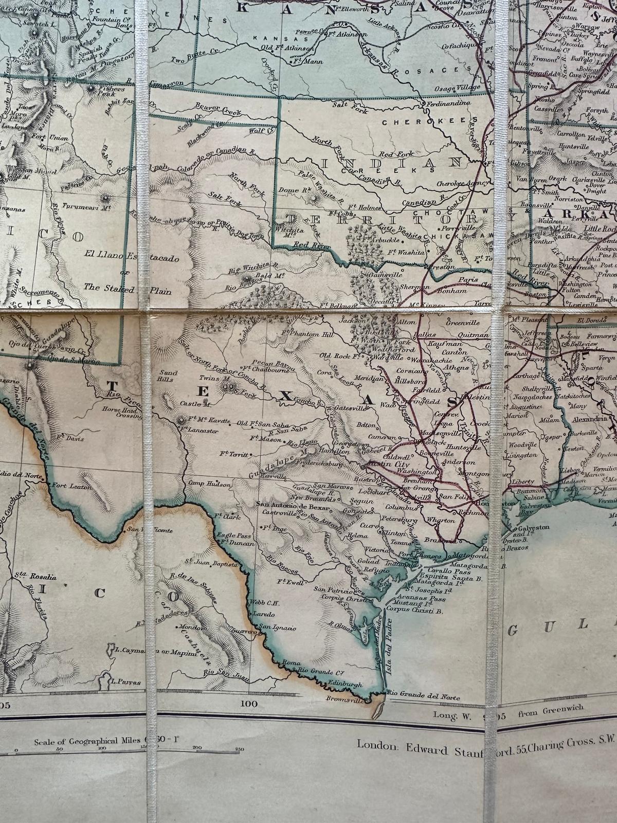
4. State Boundaries: The boundaries of states and territories are clearly demarcated, some of which would have been relatively new or still in flux at the time, such as those in the West following the conclusion of various territorial disputes and rearrangements.
5. Geographic Features: Major rivers, mountain ranges, and other natural landmarks are also likely depicted, which were important for navigation, settlement, and defining territorial claims.
Status of the United States in 1876:
The year 1876 was a significant one in American history, marked by several key events and characteristics:
- Centennial Year: It was the 100th anniversary of the Declaration of Independence, celebrated with the Centennial Exposition in Philadelphia, the first official World's Fair in the United States.
- Reconstruction Era: The country was in the latter stages of the Reconstruction Era following the Civil War. This period was characterized by significant political, social, and economic upheaval, particularly in the Southern states.
- Westward Expansion: The continued push westward was facilitated by the completion of the Transcontinental Railroad in 1869, spurring further development and conflicts with Native American tribes.
- Industrial Growth: The U.S. was undergoing rapid industrialization, leading to significant changes in its economy and society, with increasing urbanization and the emergence of a more connected national market.
- Political Tensions: The presidential election of 1876 was one of the most disputed in American history, culminating in the Compromise of 1877, which ended Reconstruction and had long-lasting effects on the political landscape.
This map provides a snapshot of a nation in transition, capturing the complexity and dynamism of the United States at a critical juncture in its history.
ABOUT THE MAKER: EDWARD STANFORD
Edward Stanford (1827-1904) was a prominent British cartographer and the founder of Stanford’s Ltd, a map-making and publishing company known for its detailed and innovative maps. His contributions to cartography are significant, especially in the context of the Victorian era, a period marked by rapid expansion of the British Empire and increased public interest in geography.
Early Life and Career:
Edward Stanford began his career in the map-making industry as an apprentice to Mr. Trelawny Saunders, a noted map maker of his time. After his apprenticeship, Stanford set up his own business in London, initially focusing on stationery and general printing. However, his interest in maps soon took precedence, and he began to produce and sell maps and geographical publications.
Contributions to Cartography:
In 1853, Stanford officially established his map business, Edward Stanford Ltd., which quickly grew to become a leading cartographic establishment worldwide. His shop in London became a hub for explorers, travelers, and scholars where they could access a wide range of maps, including those detailing explorations, military campaigns, and colonial territories.
Stanford’s innovation in cartography was marked by his commitment to accuracy and detail. He is particularly noted for:
- Stanford’s...