
Black Friday starts Friday 20 November: up to 30% off, plus free FedEx shipping on qualifying orders →
Orders placed from 15 to 30 November ship from 1 December, in time for Christmas. Our shipping partner: InXpress.
Maps & PrintsBartele Gallery · Langweer
Home / Antique Maps / Asia / South Asia / India & Ceylon

India & Ceylon · 18th century

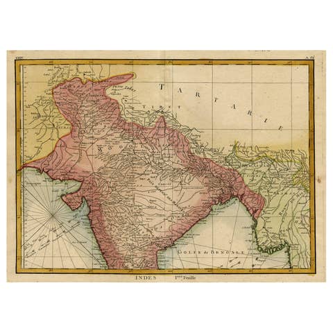
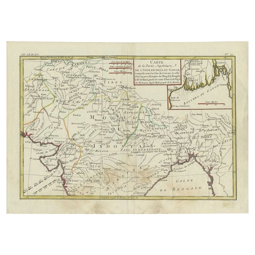
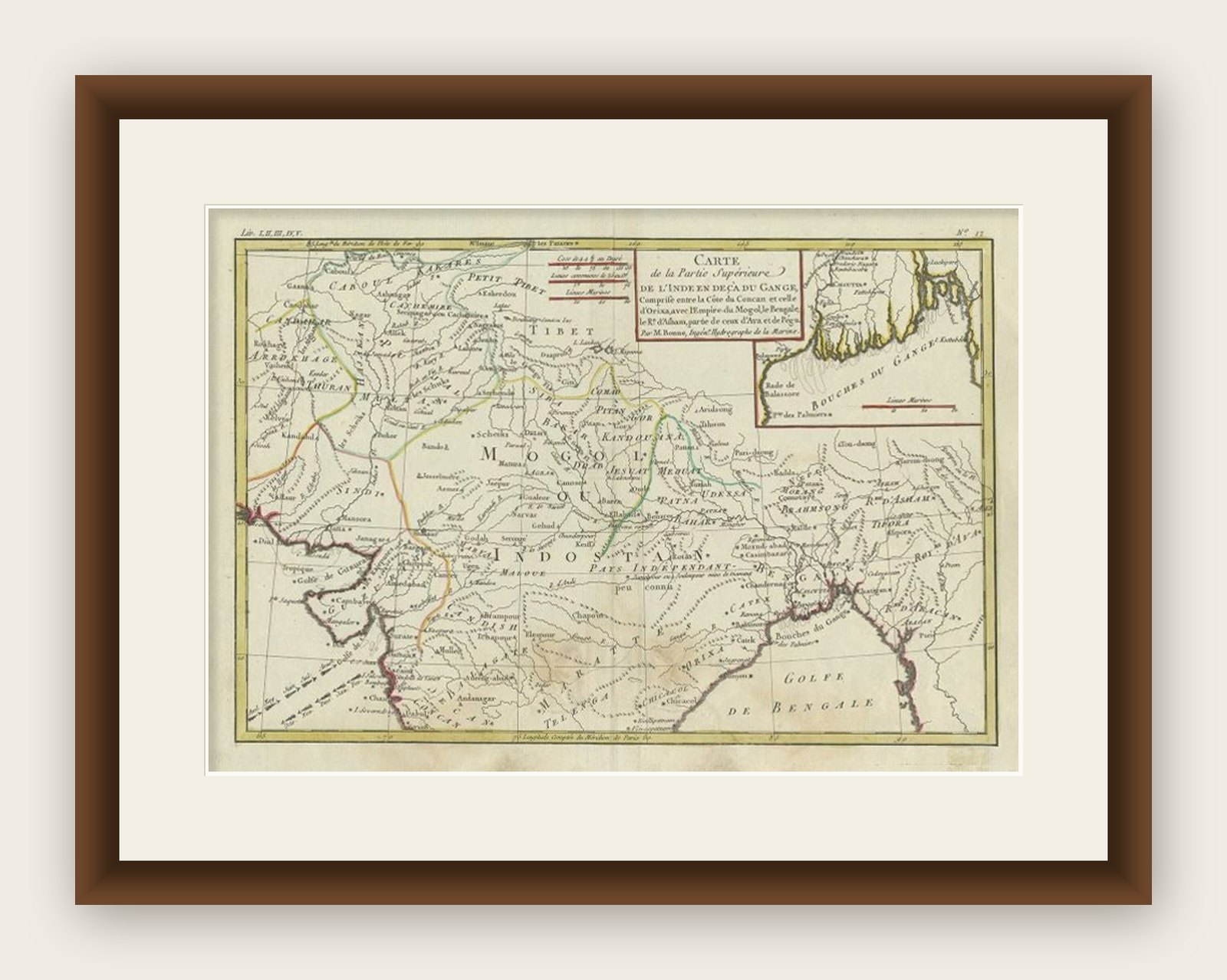
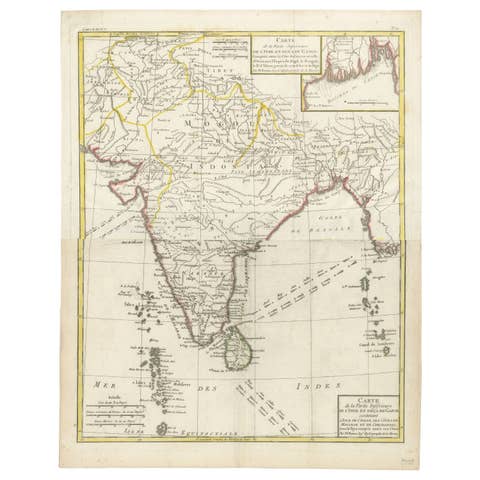
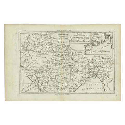
Antique Map of Northern India by Bonne, 1780

€ 230

Original antique · The actual sheet photographed · Certificate of authenticity on request · Sold unframed · Worldwide shipping from € 15 (rates)

Date
1780
Mapmaker / artist
Rigobert Bonne, (1727 - 1795), was one of the most important cartographers of the late 18th century. He succeeded Jacques Nicolas Bellin as Royal Cartographer t
Sheet size
25.5 × 36 cm (10.0 × 14.2 in)
Condition
Good
Reference
BGJC-00263
What the condition grades mean
Excellent
Bright and clean, with no faults worth mentioning.
Very good
Only light signs of age, such as faint toning.
Good
Normal signs of age for a sheet of this period: toning, some foxing, small marks or neat old repairs.
Fair
Clear faults such as staining, tears or repairs, priced to match.

Every fault we see is written in the condition note, and the whole sheet is shown uncropped in the photos.
About this sheet

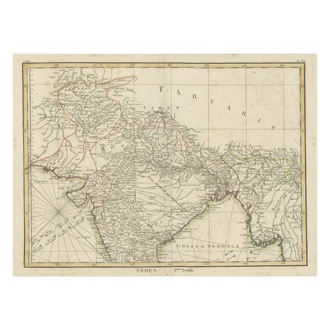
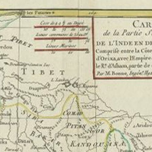
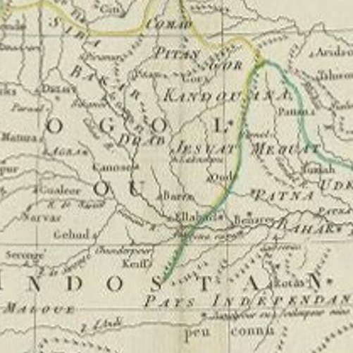
Antique map titled 'Carte de la partie Supérieure de l'Inde (..)'. A fine example of Rigobert Bonne and Guilleme Raynal?s 1780 map of northern India. Covers the northern part of India from Kandahar (Candahar) and Kashmir (Cachemire) south as far as Decan. Includes the areas claimed by the Mogol Empire, as well as adjacent parts of Tibet and Nepal. Names countless cities and river ways, as well as wind directions and some undersea shoals and other dangers. An inset in the upper right quadrant details the Mouth of the Ganges River. Drawn by R. Bonne for G. Raynal?s Atlas de Toutes les Parties Connues du Globe Terrestre, Dressé pour l'Histoire Philosophique et Politique des Établissemens et du Commerce des Européens dans les Deux Indes Artists and Engravers: Rigobert Bonne, (1727 - 1795), was one of the most important cartographers of the late 18th century. He succeeded Jacques Nicolas Bellin as Royal Cartographer to France in the office of the Hydrographer at the French Depôt de la Marine.

Image size: 0.001 x 32 x 21.5 cm.

More from India & Ceylon

Ask about this sheet

Antique Map of Northern India by Bonne, 1780
1780 · Ref. BGJC-00263 · € 230
We reply by email, usually within one working day.

Your favorites

Saved in this browser. Email the list to yourself to keep it on any device.

We use your email to send this list and, only if you tick the box and confirm, for occasional new arrivals. Every email has an unsubscribe link. Bartele Gallery, the Netherlands.

Powered by SiteKeys