About this sheet
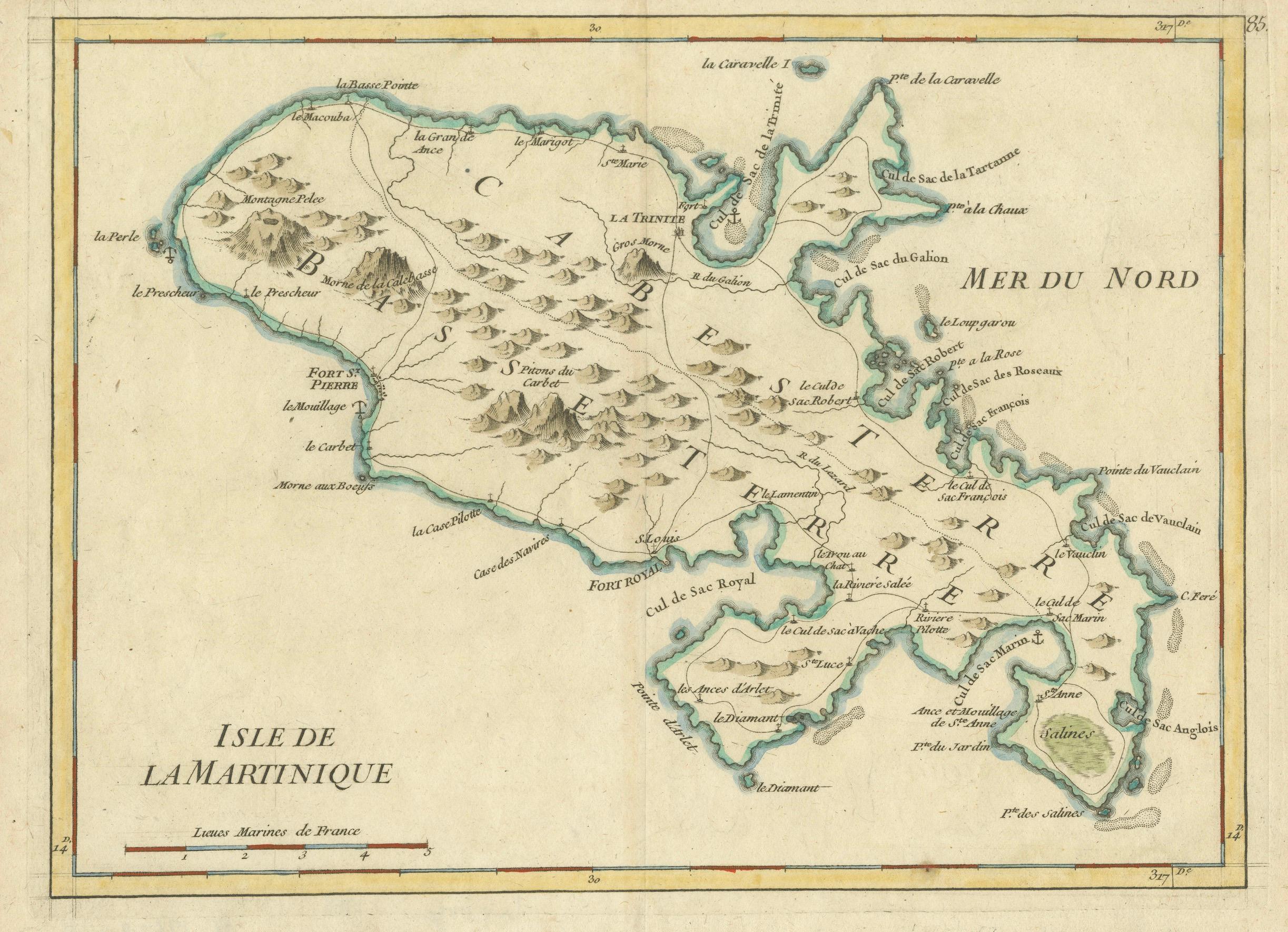
Map of Martinique by Rigobert Bonne, circa 1768
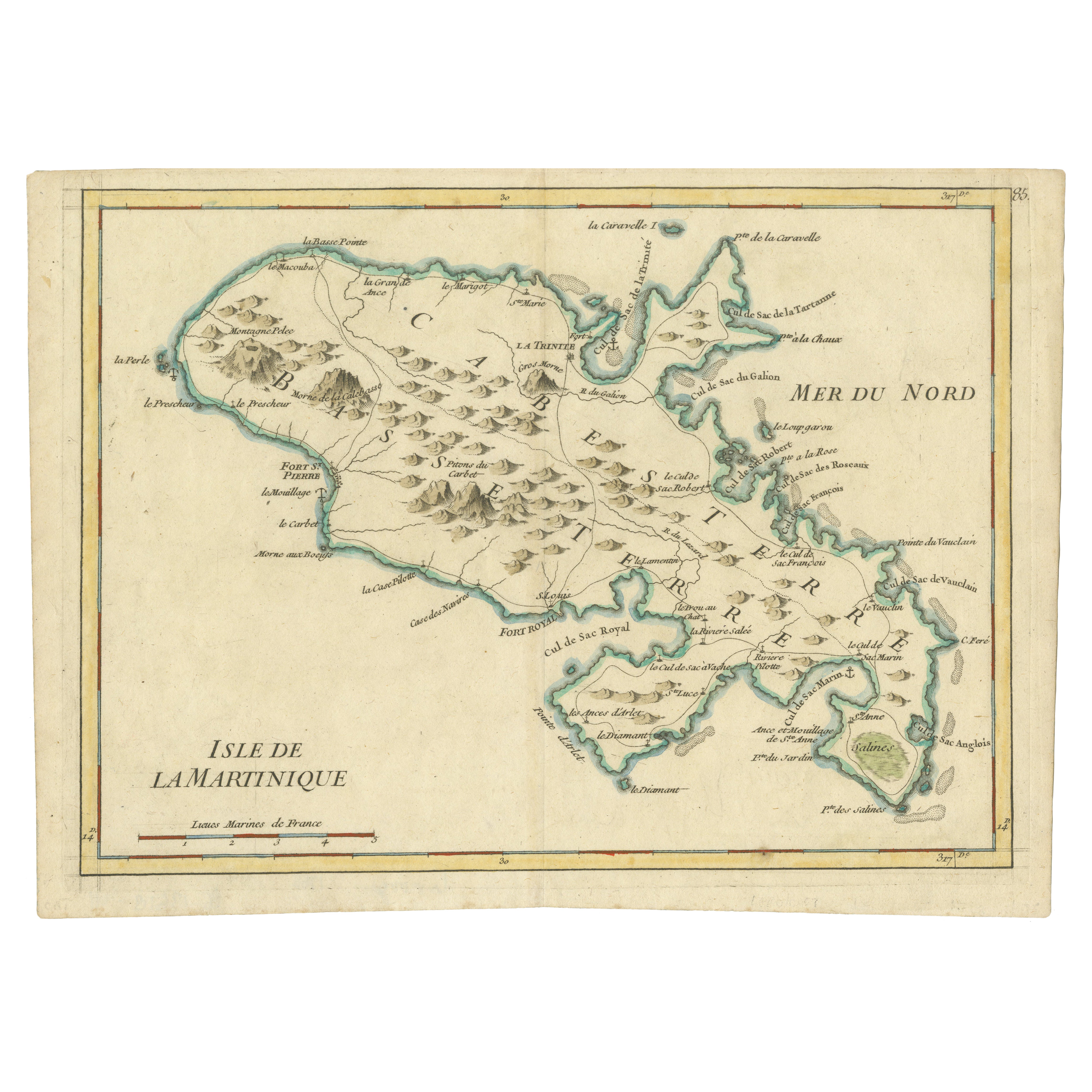
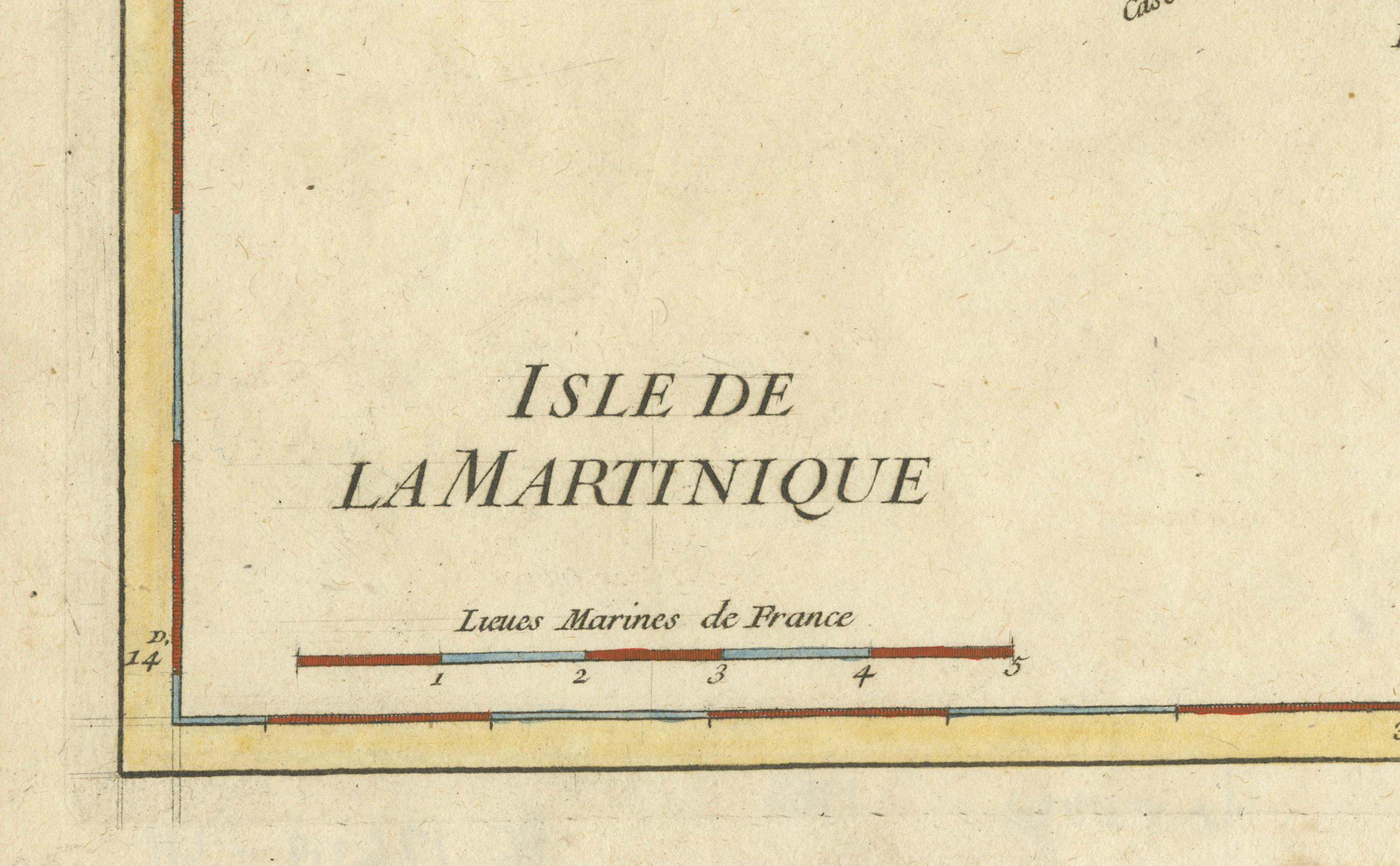
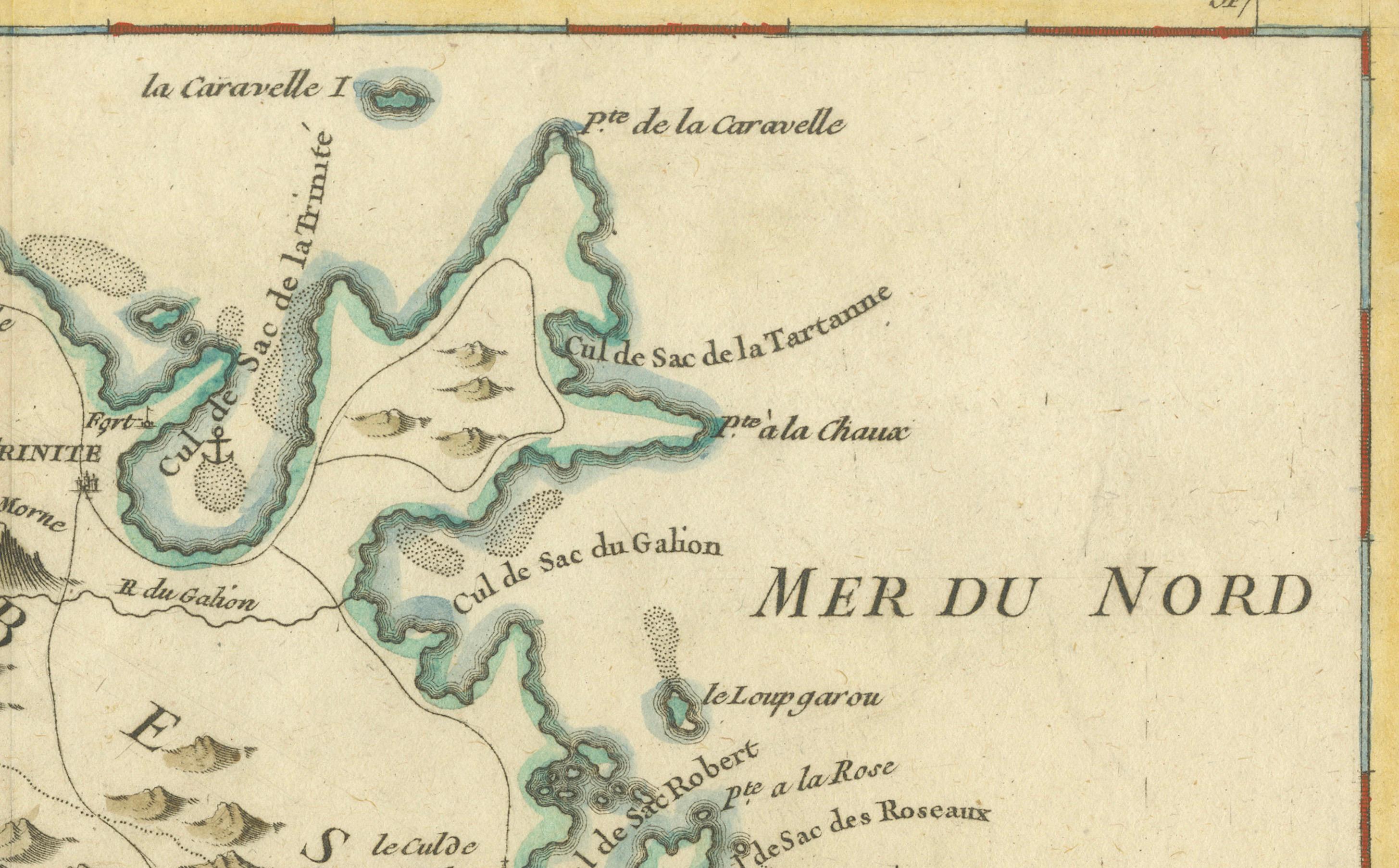
This is a detailed antique map of Martinique titled “Isle de la Martinique,” engraved by Rigobert Bonne around 1768 for the Atlas Encyclopédique. Bonne, a renowned French hydrographer and successor to Bellin, is celebrated for his scientifically precise and elegantly engraved maps.
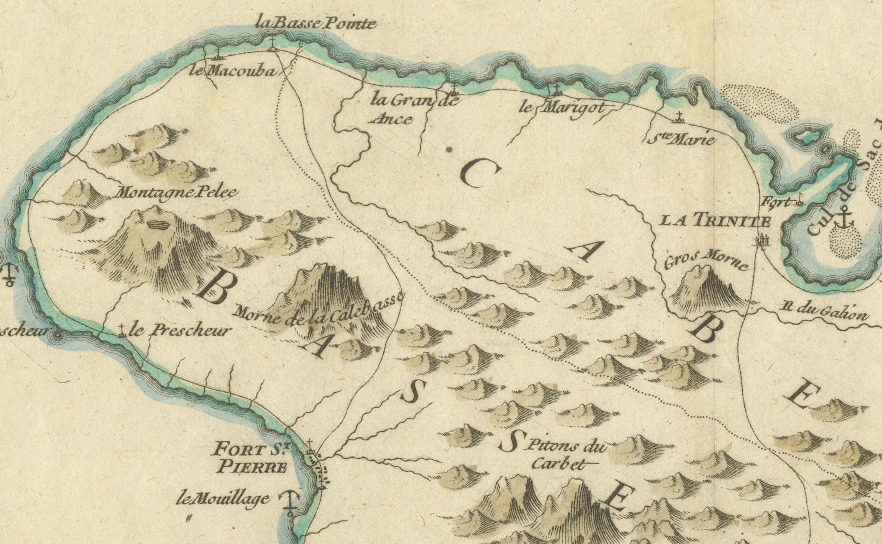
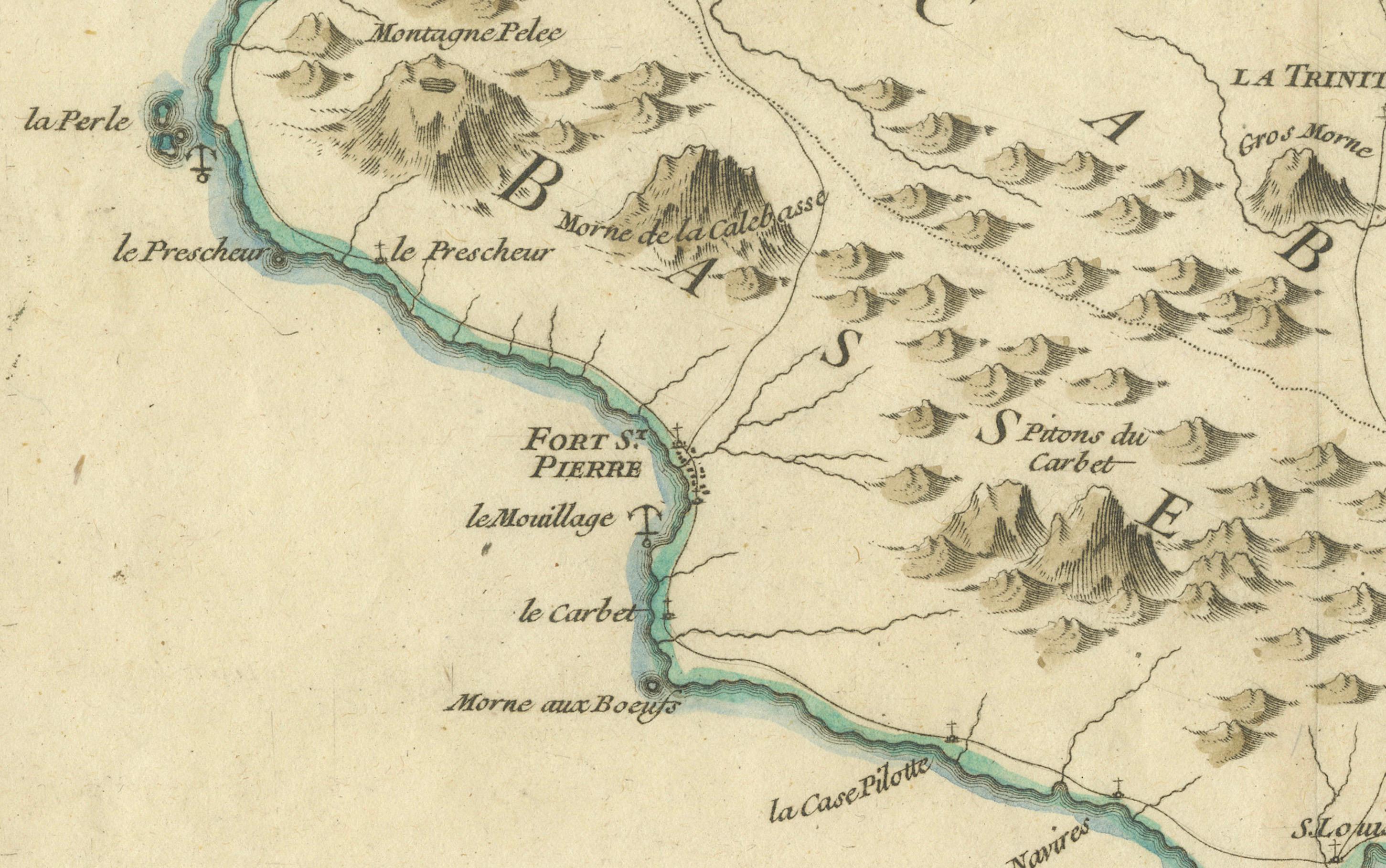
The map shows Martinique with its mountainous interior, rivers, and settlements labelled, including Fort Royal, Fort St. Pierre, Le Marin, and Le Prêcheur. Coastal features, bays, and capes are marked, along with anchorages important for maritime navigation in the 18th century. The depiction includes relief shown pictorially, characteristic of Bonne’s cartographic style, enhancing both geographic understanding and aesthetic appeal.
This copperplate engraving retains original hand colouring outlining the coastlines in delicate blue and brown tones, typical for the period. It served as a key reference for scholars, navigators, and colonial administrators during France’s colonial presence in the Caribbean.
Condition:
Good condition overall. A strong impression with bright, original hand-colour outlines. General age toning, faint offsetting, and a vertical fold as issued in the atlas. Margins ample all around for framing.
Framing suggestions:
This historic Caribbean map would look distinguished floated in a black, walnut, or gold frame with UV-protective glass to preserve its colours. Consider a neutral archival mat to highlight its refined engraving in a study, library, or maritime collection wall.
Keywords:
Rigobert Bonne, antique map, Martinique, French Caribbean, colonial map, 18th century, atlas encyclopédique, copper engraving, hand coloured, maritime history, Caribbean island, Bonne map