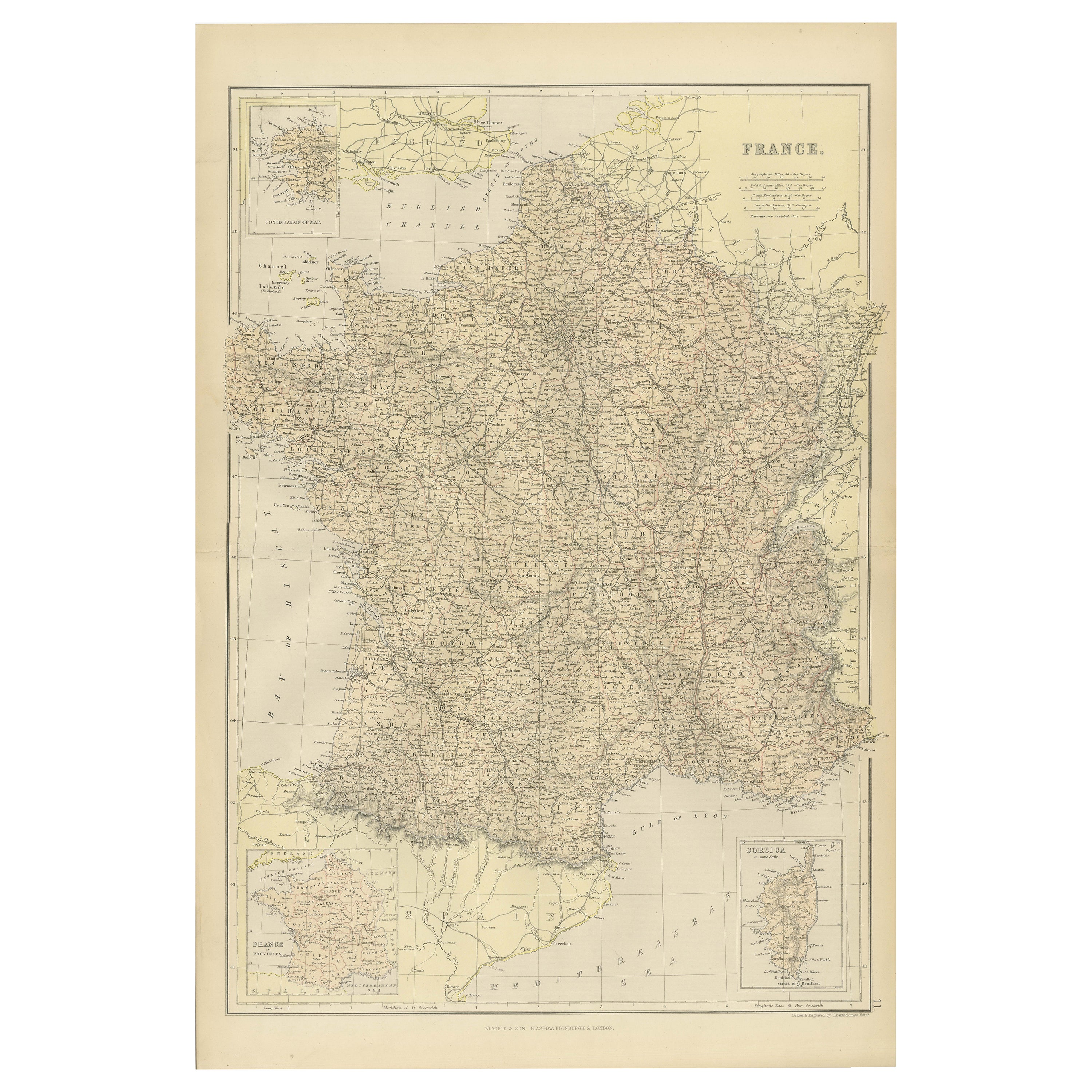
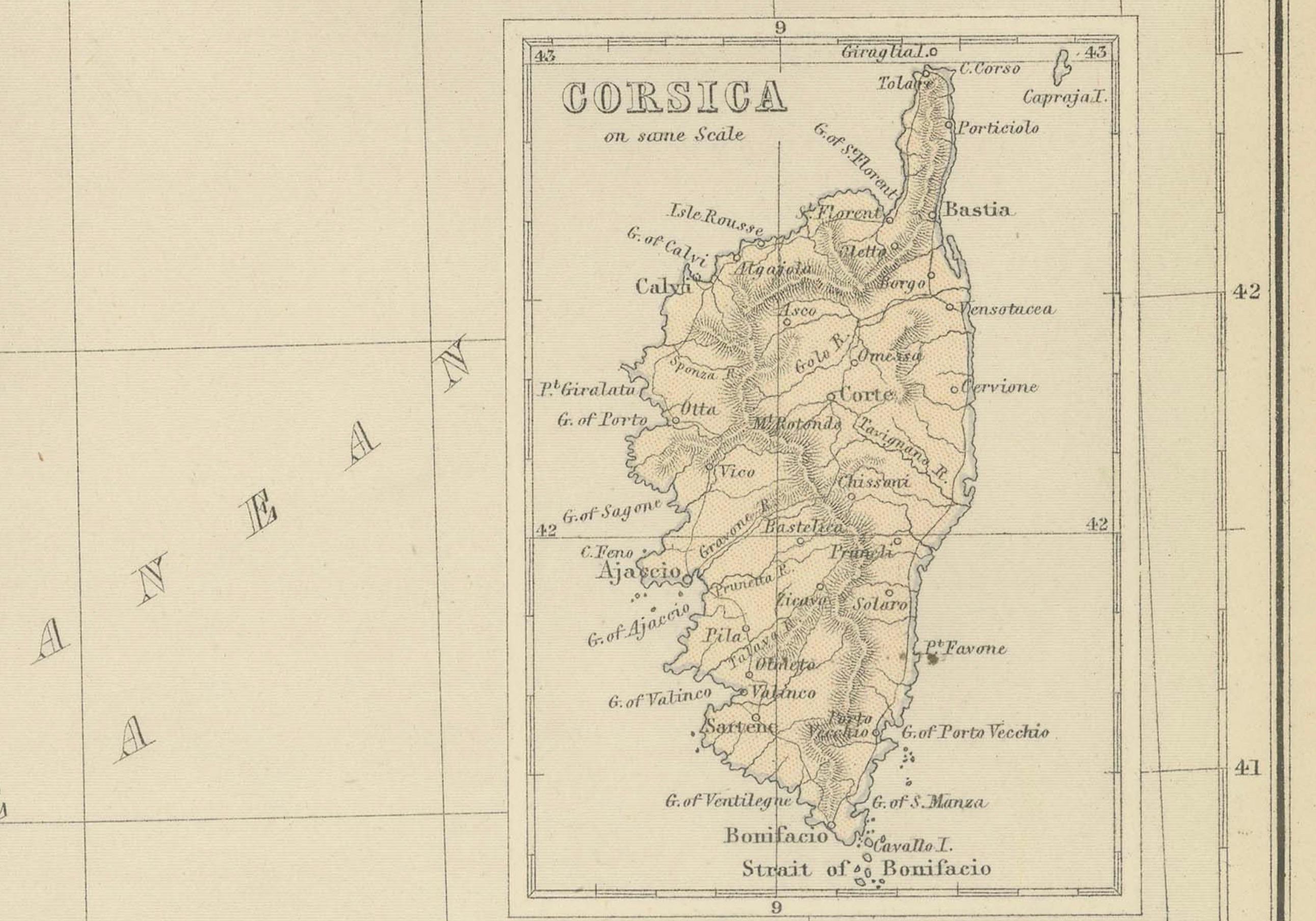
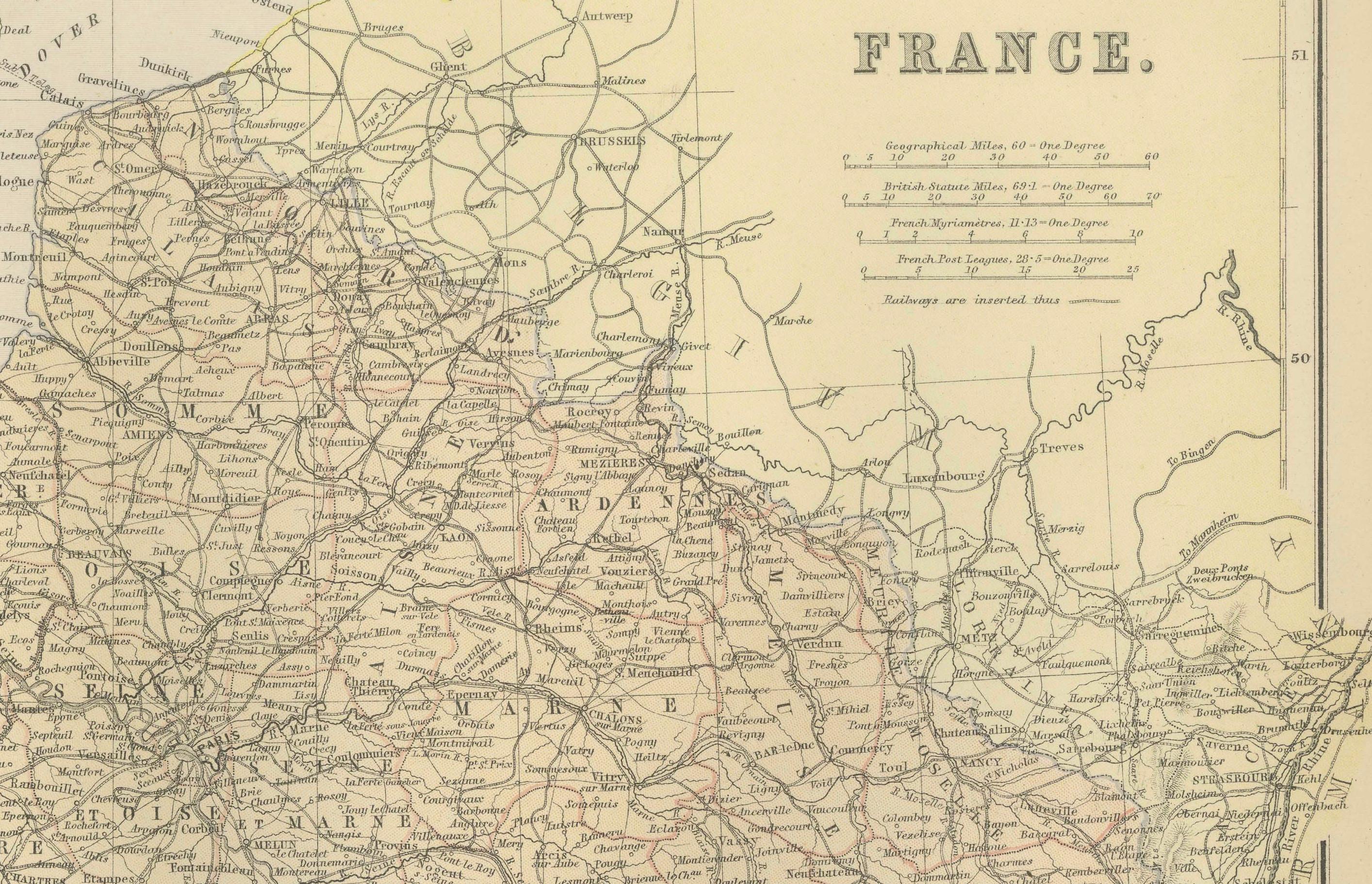
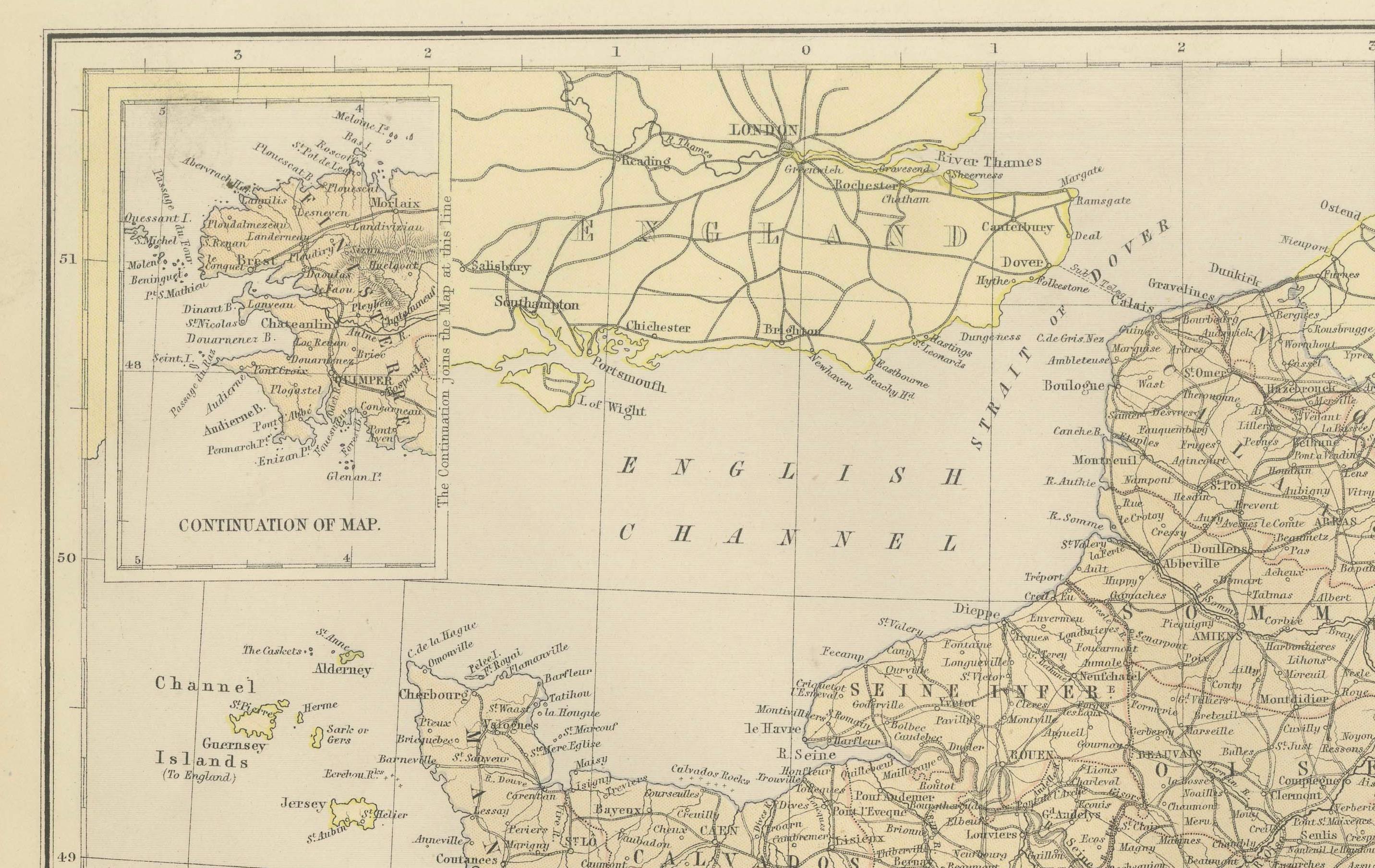
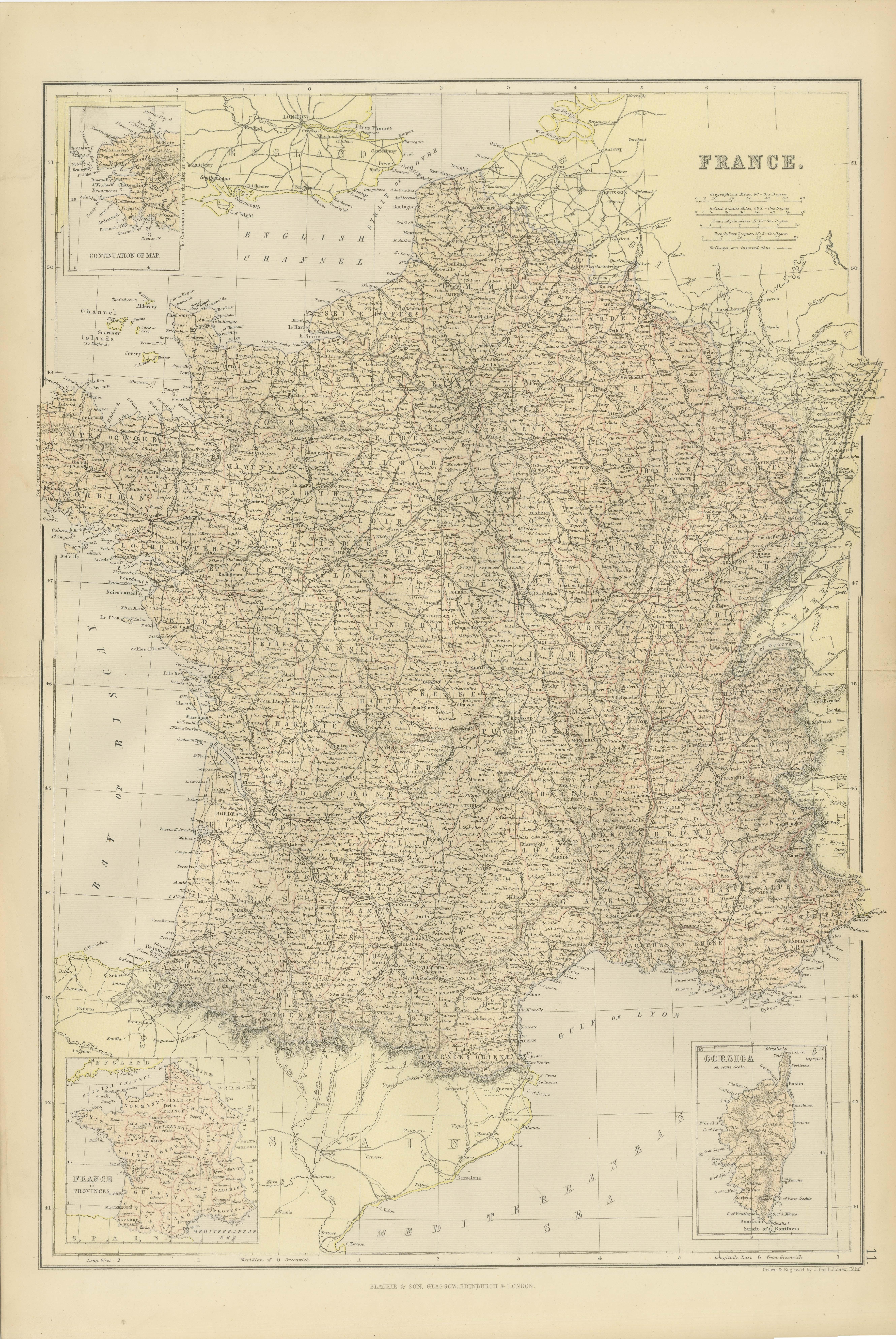
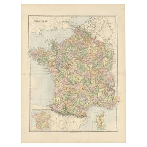
1882 Map of France Highlighting Political Boundaries, Cities, Insets of Corsica
€ 250
One of a kind: this is the sheet in the photographs. Ships from Langweer, the Netherlands.
Date
1882
Sheet size
57 × 39 cm (22.4 × 15.4 in)
Condition
Good
Reference
BG-13601-2-21
Condition
Condition report: The map is in good condition with minimal edge wear. Slight toning and occasional spotting are present, consistent with its age. The engraving remains sharp, and the colors are well-preserved. Fold line in middle, as issued.
About this sheet
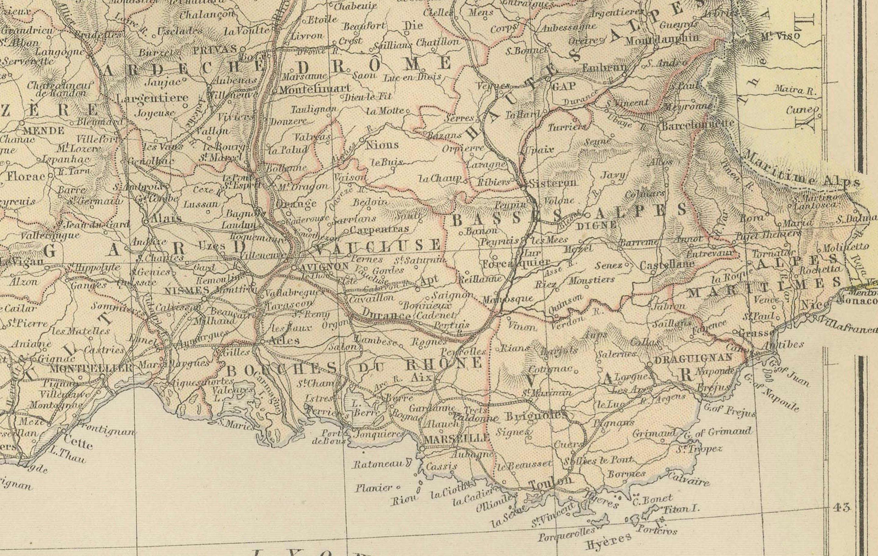
This 1882 map of France, published by Blackie and Son as part of the 'Comprehensive Atlas and Geography of the World,' offers a detailed depiction of the country during the late 19th century. It includes the administrative divisions of France, showing departments and key cities such as Paris, Lyon, Marseille, and Bordeaux. The map also highlights significant transportation routes, including railways and major roads, reflecting the infrastructure development of the time.
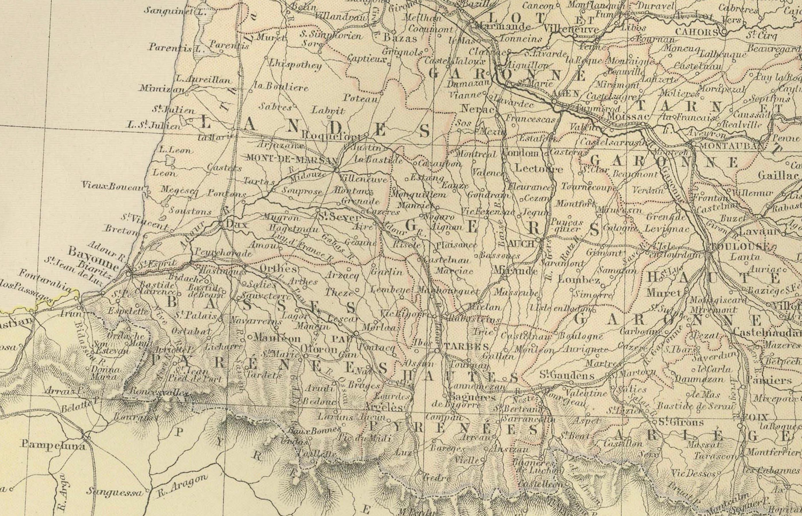
Topographical details are meticulously illustrated, with the Pyrenees and Alps mountain ranges clearly marked, as well as river systems like the Seine, Loire, and Rhône. Coastal details along the English Channel, the Atlantic Ocean, and the Mediterranean Sea are carefully drawn, showcasing France’s maritime boundaries. Insets of Corsica and southwestern France provide additional detail, emphasizing the geographic diversity of the country.
Condition report: The map is in good condition, with slight toning and minor spotting typical of its age. The engraving remains crisp, and the pastel coloring used to differentiate departments is vibrant. There are no visible tears or repairs.
Framing tips: Opt for a classic wooden frame with a walnut or dark oak finish to complement the map’s vintage character. Use a double mat with an inner cream or off-white layer to match the paper tone and an outer mat in soft green or beige to enhance the map’s delicate colors. To preserve the map, use UV-protective, anti-reflective glass, ensuring both protection and optimal display for this historical piece.