About this sheet
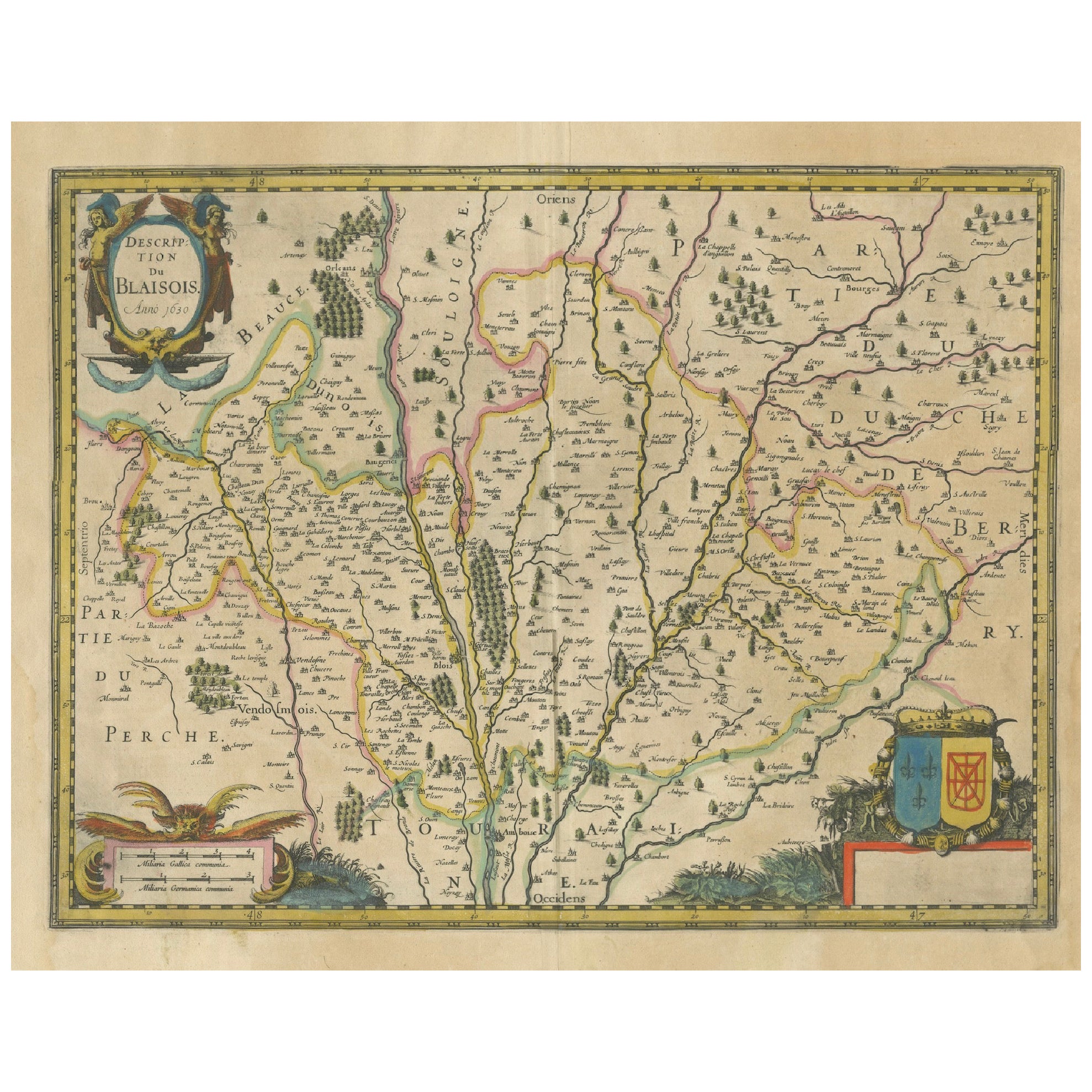
Map of Blaisois by Janssonius, 1633, Decorative Antique Map of Loire Valley
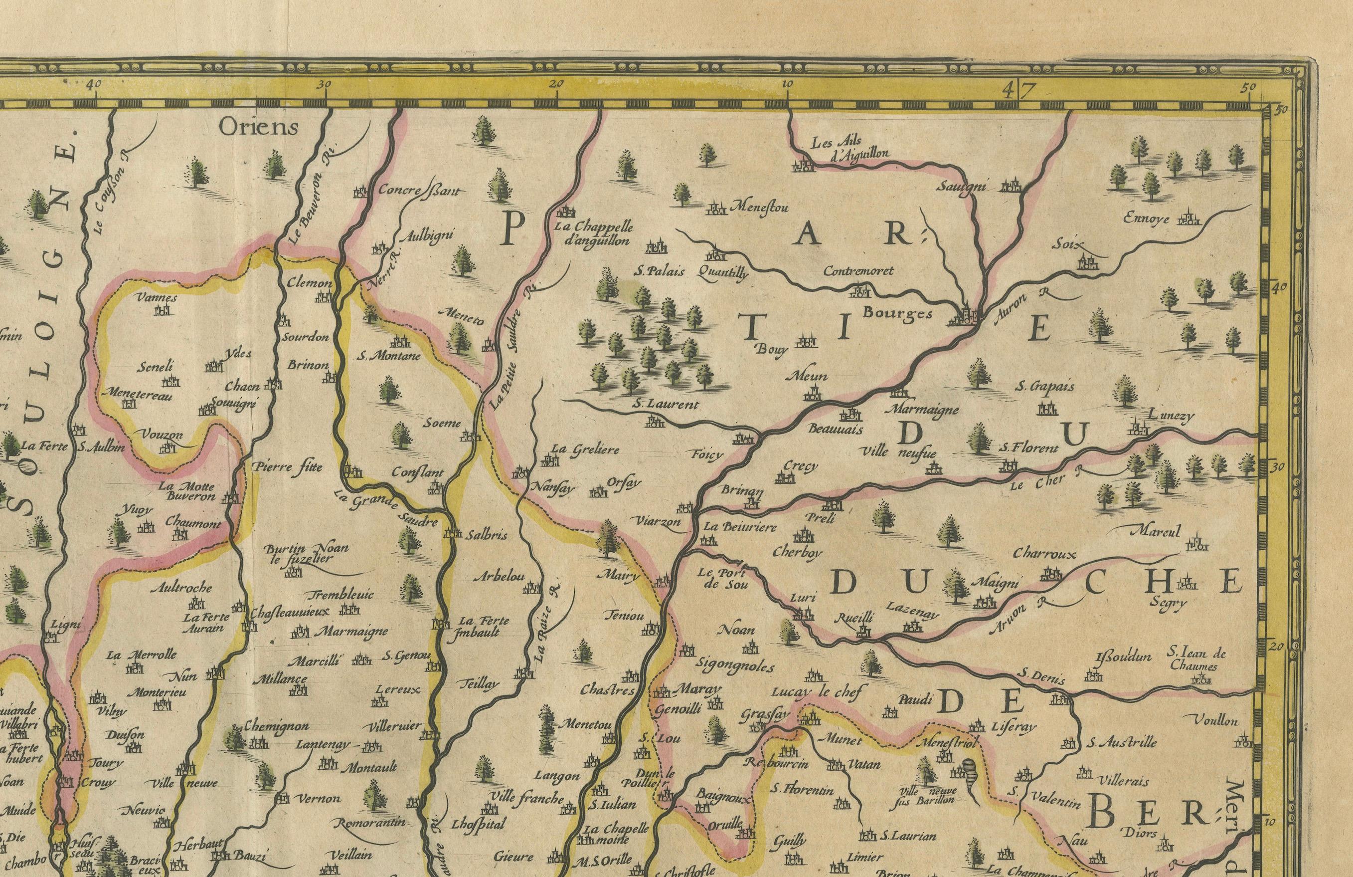
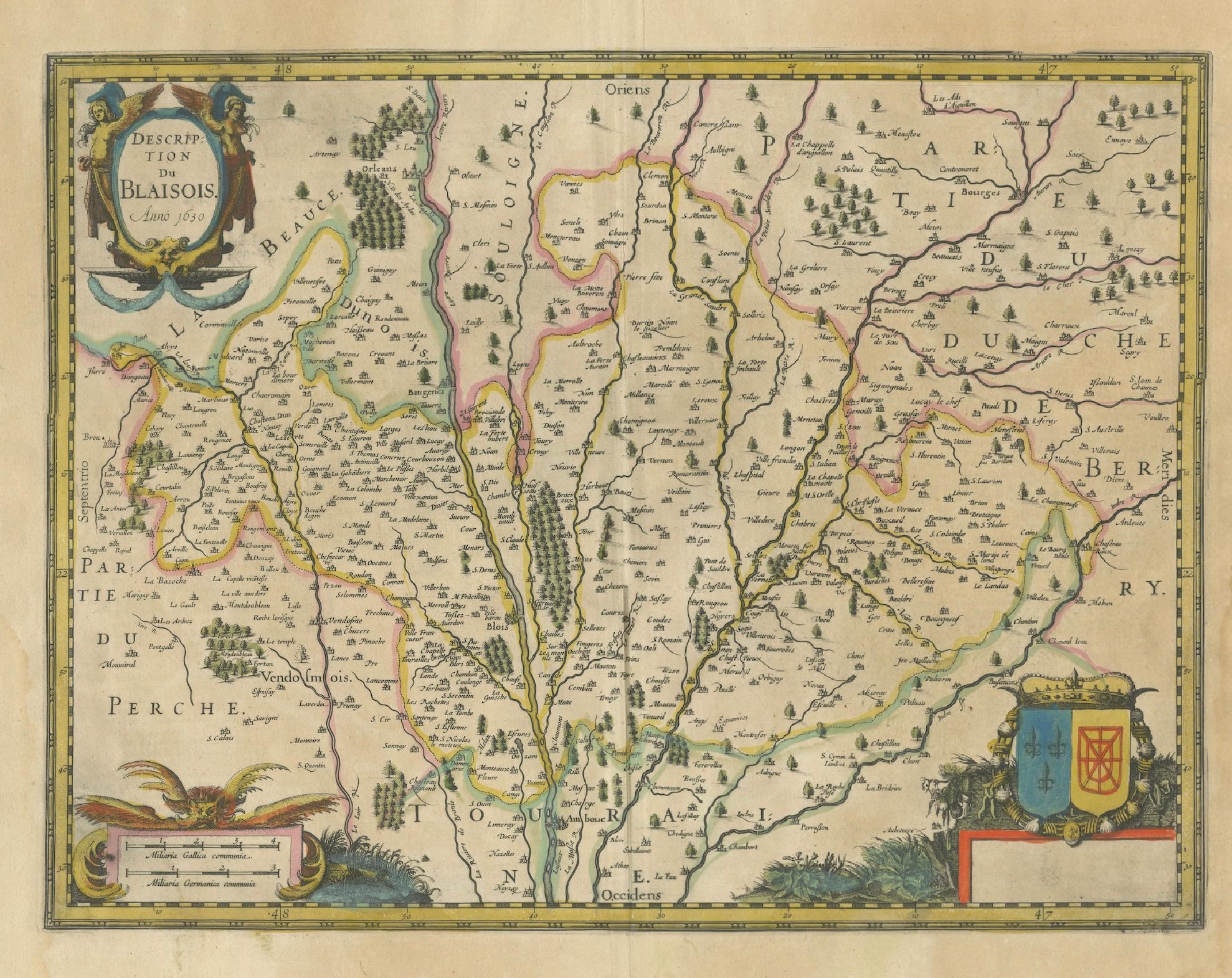
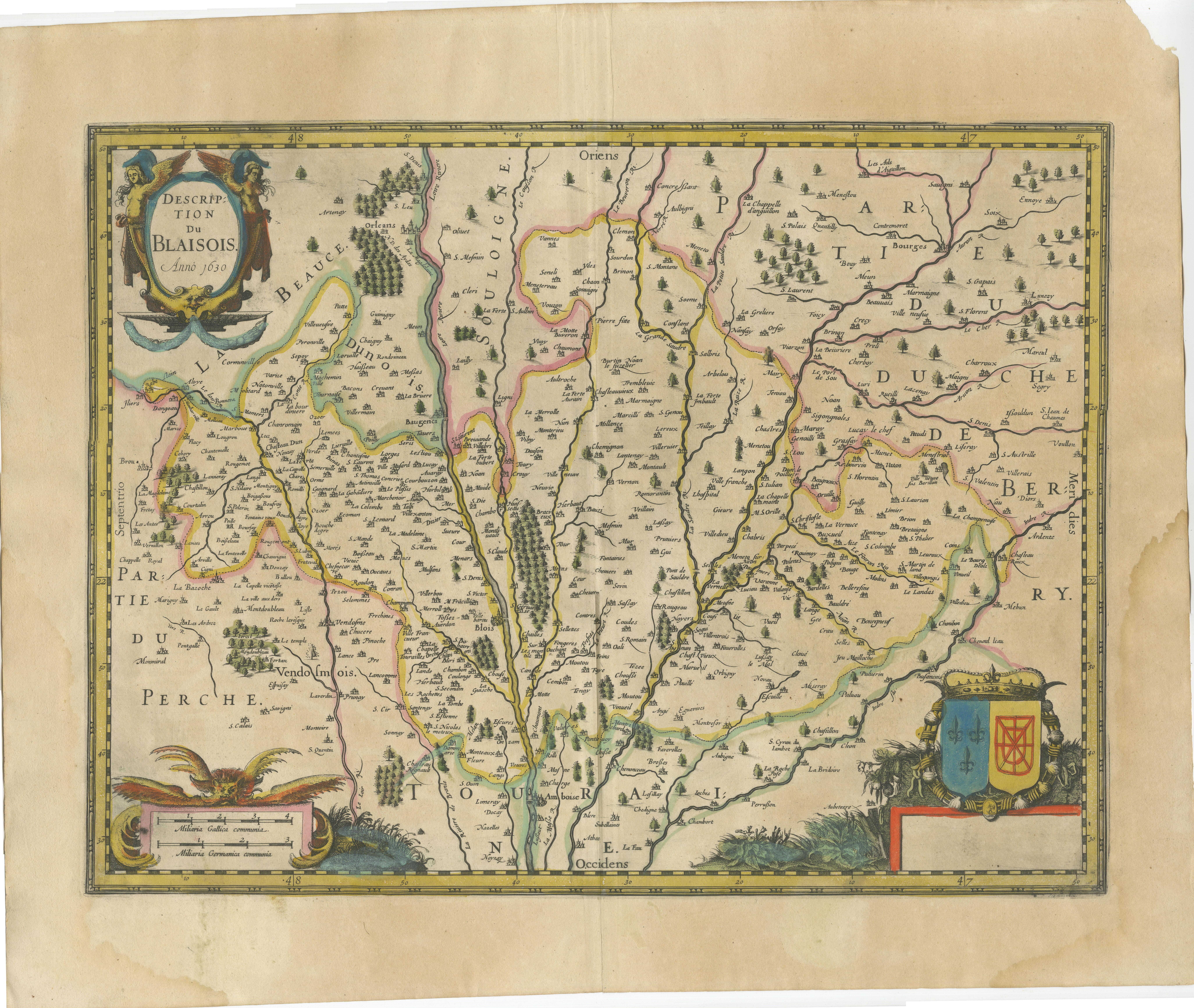
This finely detailed and colorfully embellished map titled 'Description du Blaisois' was published in 1633 by Johannes Janssonius in Amsterdam. It offers a rich topographical view of the Blaisois region in central France, centering around the historic city of Blois and its surrounding towns. The map is part of the renowned series of provincial French maps featured in Janssonius’s early 17th-century atlases.
Blaisois, located along the Loire River, is historically significant as a royal domain and a seat of French nobility. The map captures the strategic importance of this area, showing rivers, woodlands, and numerous towns in careful detail. Key neighboring regions such as Touraine, Berry, Perche, and Beauce are also represented. The engraving emphasizes the Loire Valley’s natural and political landscape as it appeared before the French Revolution.
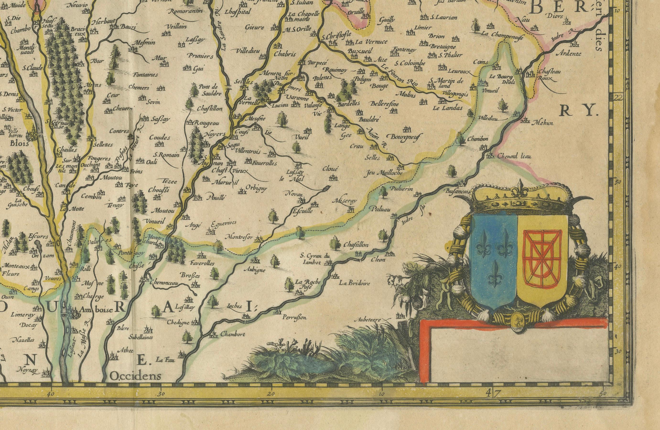
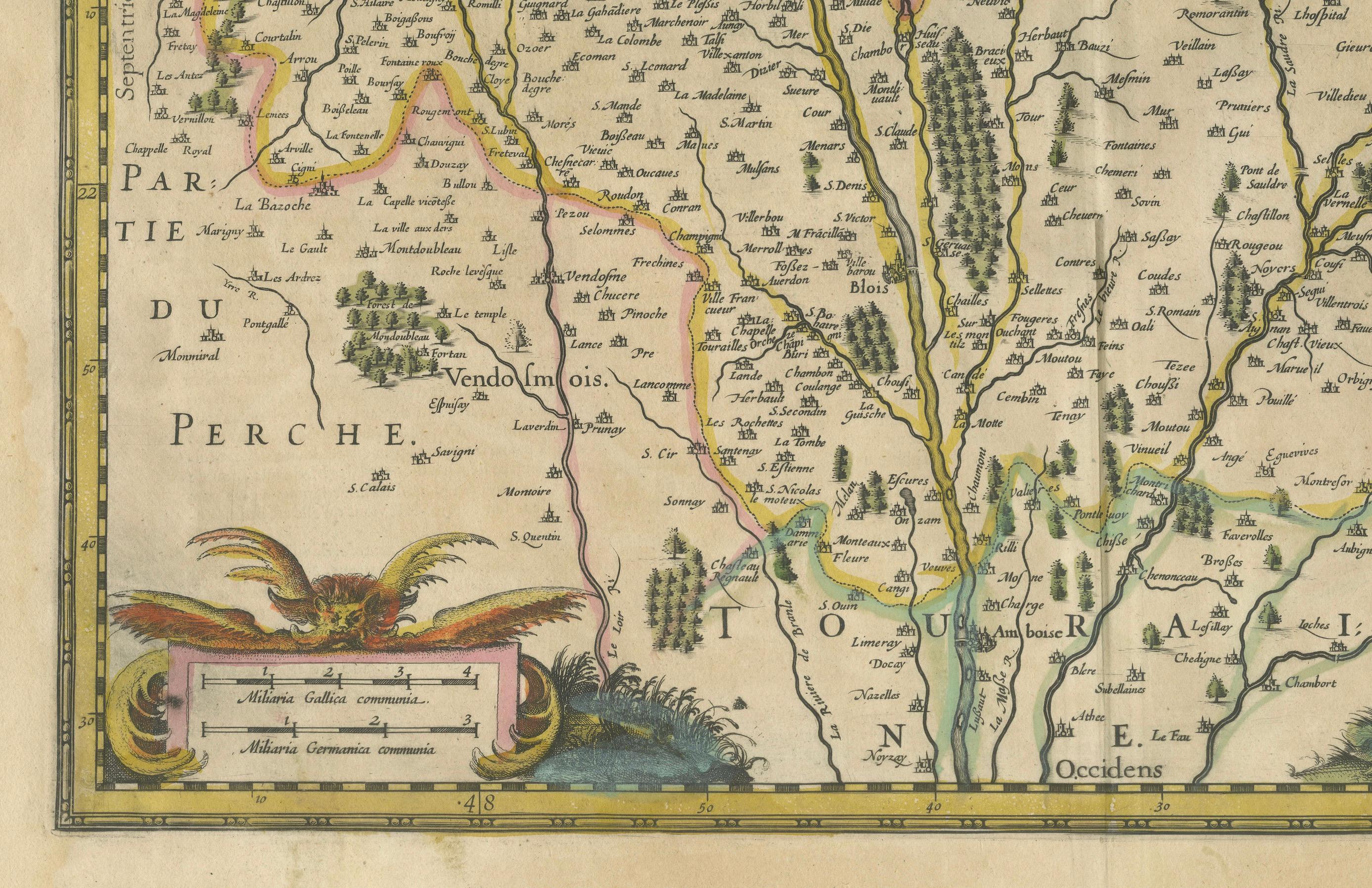
This map is highly decorative, with an ornate title cartouche in the upper left corner marked “Anno 1630,” flanked by allegorical figures. A large coat of arms adorns the lower right, featuring heraldic symbols of the region. In the lower left, a secondary cartouche with a sea eagle and decorative foliage provides publication details. The hand coloring, now softly aged, enhances the map’s historic elegance.
Johannes Janssonius (1588–1664), a Dutch cartographer and publisher, was a contemporary and collaborator of Henricus Hondius. His work is known for its high aesthetic quality, cartographic precision, and embellishments. This map is a superb example of Dutch Golden Age cartography and offers both historical insight and decorative appeal.
Condition Report:
Good condition. Hand-colored copper engraving. Some toning to the paper edges and a water stain in the lower right margin, not affecting the engraved area. Fold line visible but stable. Plate still crisp with full margins.
Framing Tips:
This piece benefits from a classic gold or dark wood frame, with a soft cream or parchment-colored mat to match the antique tones. Consider floating the map with visible platemarks or matting to the edge of the engraving for a cleaner presentation. Use UV-protective glazing to preserve the original coloring.
Keywords:
Blaisois antique map, Blois map 1633, Janssonius map France, Loire Valley map, early French cartography, 17th century French map, decorative antique map, Dutch golden age engraving, Janssonius atlas, Touraine Berry Blaisois, pre-revolution France, copper engraved map, hand-colored map France, vintage Loire region print, historical French provinces map.