Maps & PrintsBartele Gallery · Langweer
Home / Antique Maps / Europe / Europe as a Whole

Europe as a Whole · 20th century

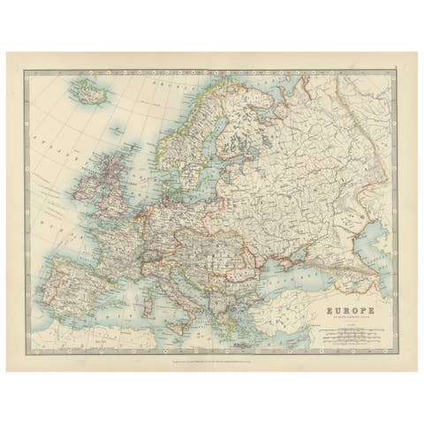
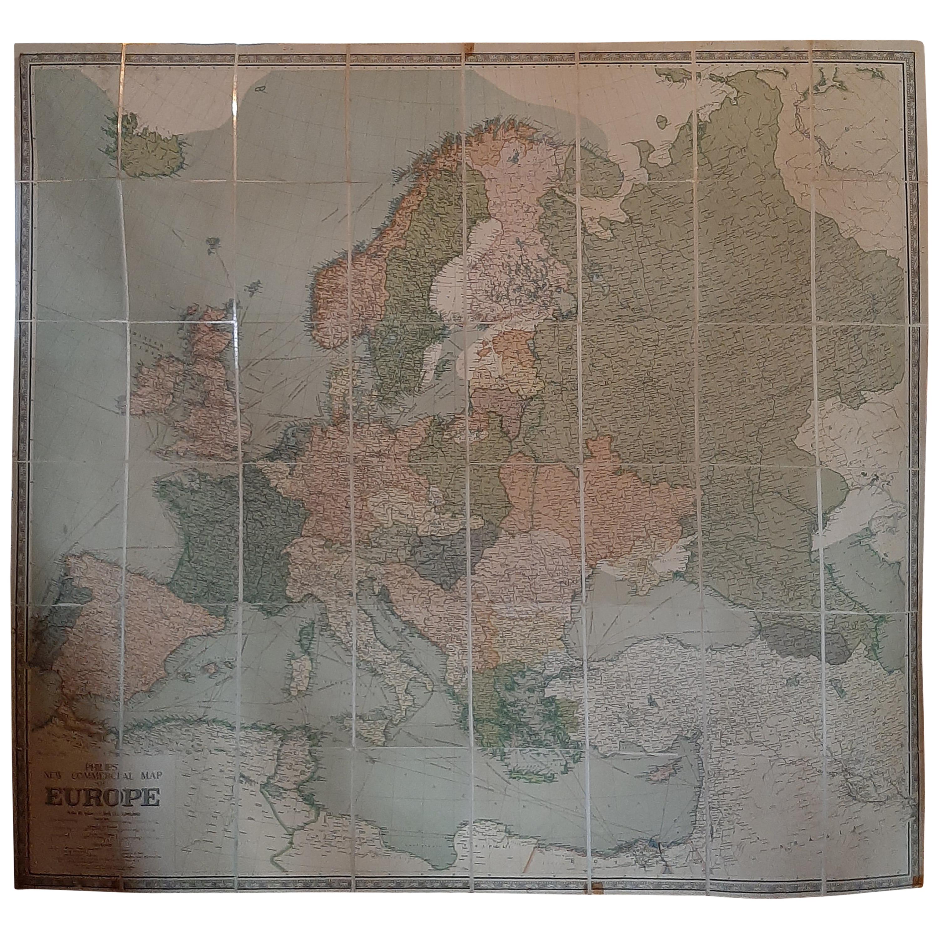
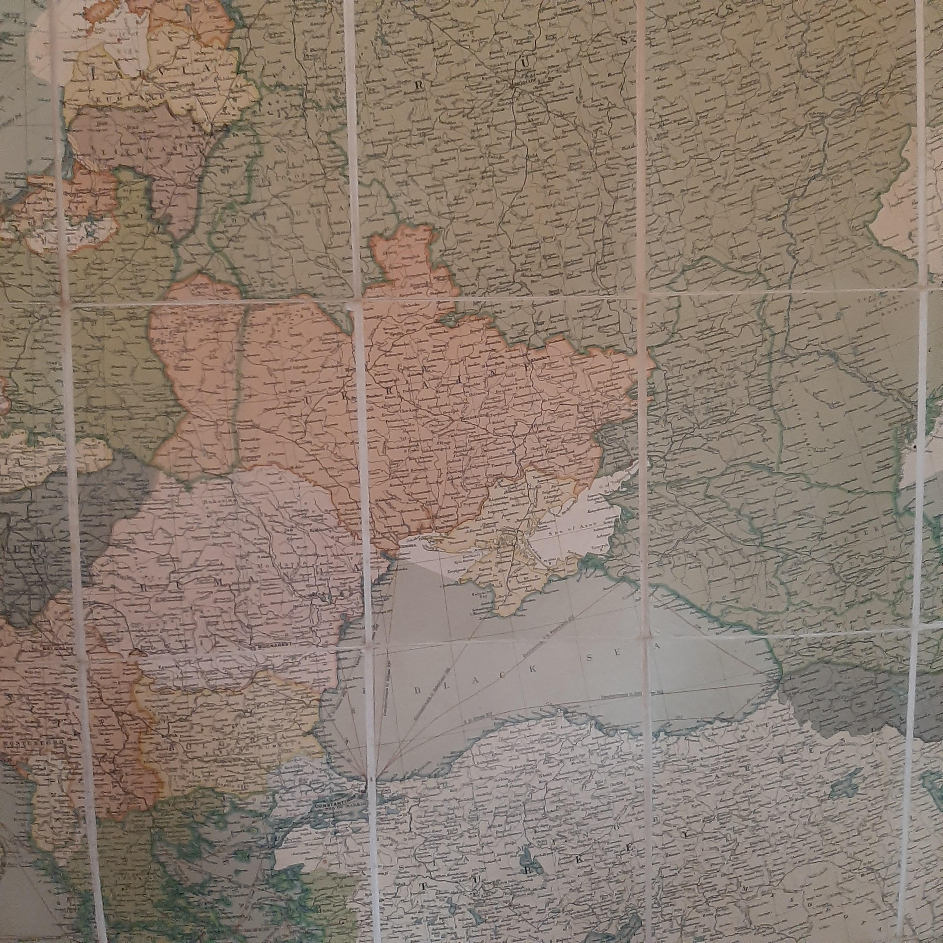
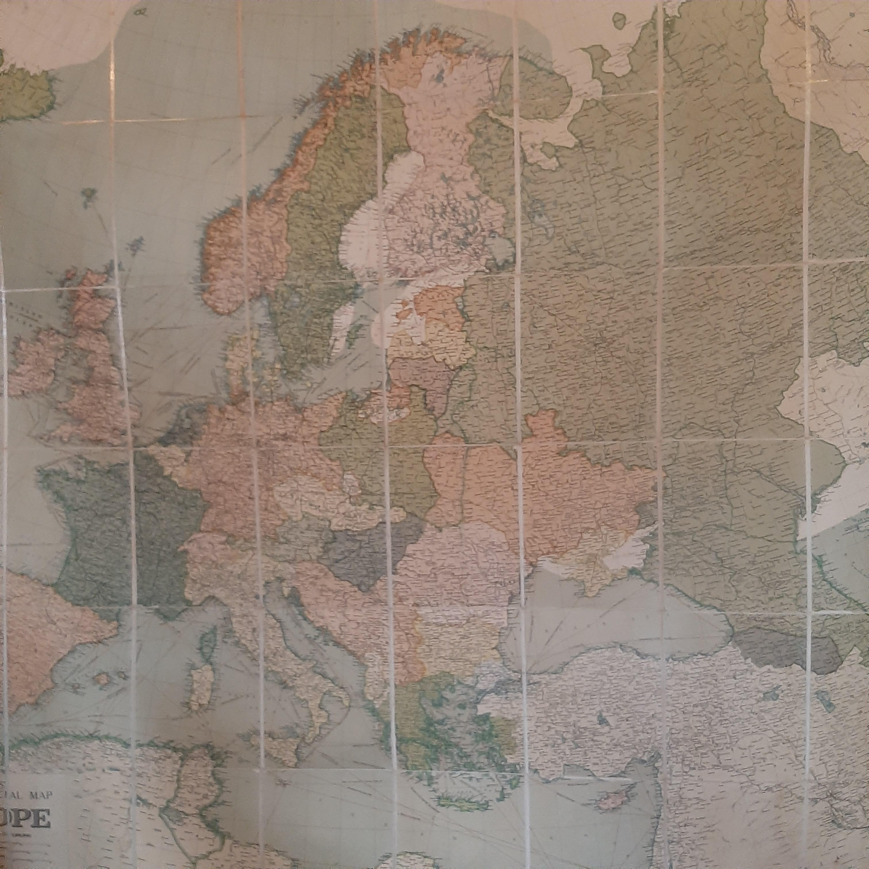
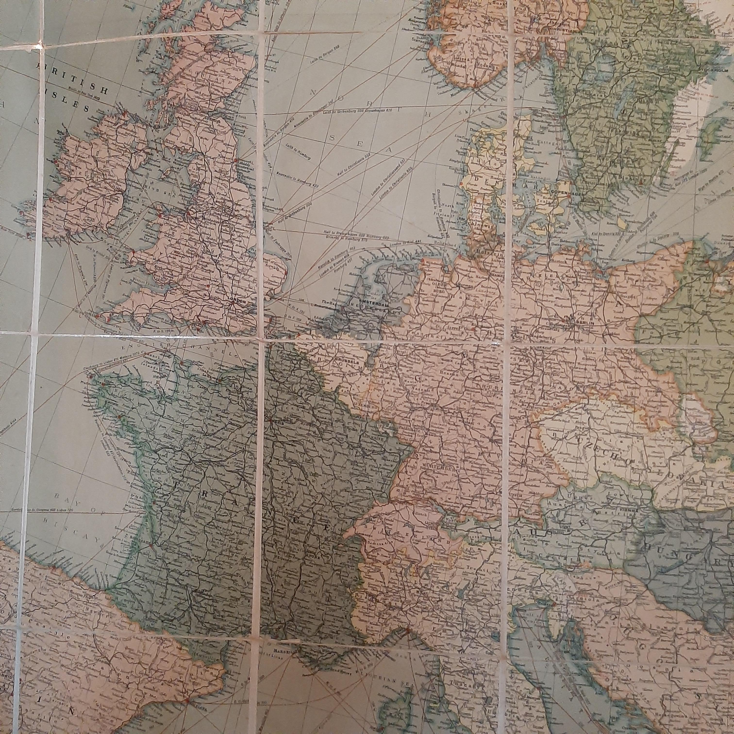
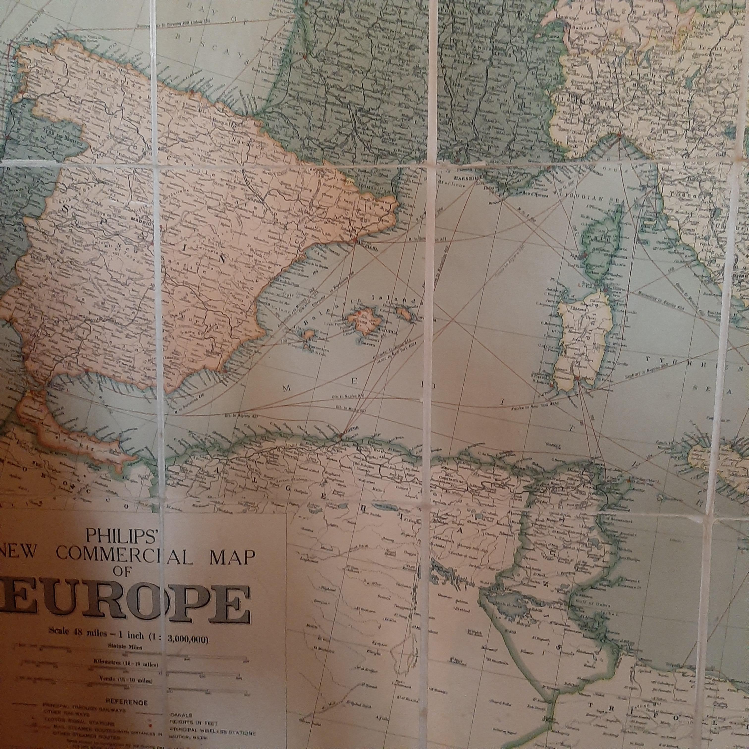
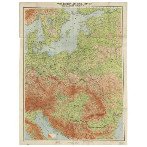
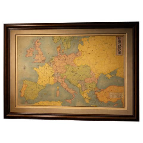
Large Wall Map of Europe by George Philip & Son, circa 1920

€ 2 500

One of a kind: this is the sheet in the photographs. Ships from Langweer, the Netherlands.

Date
1920
Technique
Paper
Sheet size
183 × 168 cm (72.0 × 66.1 in)
Condition
Fair
Reference
M2430

Condition

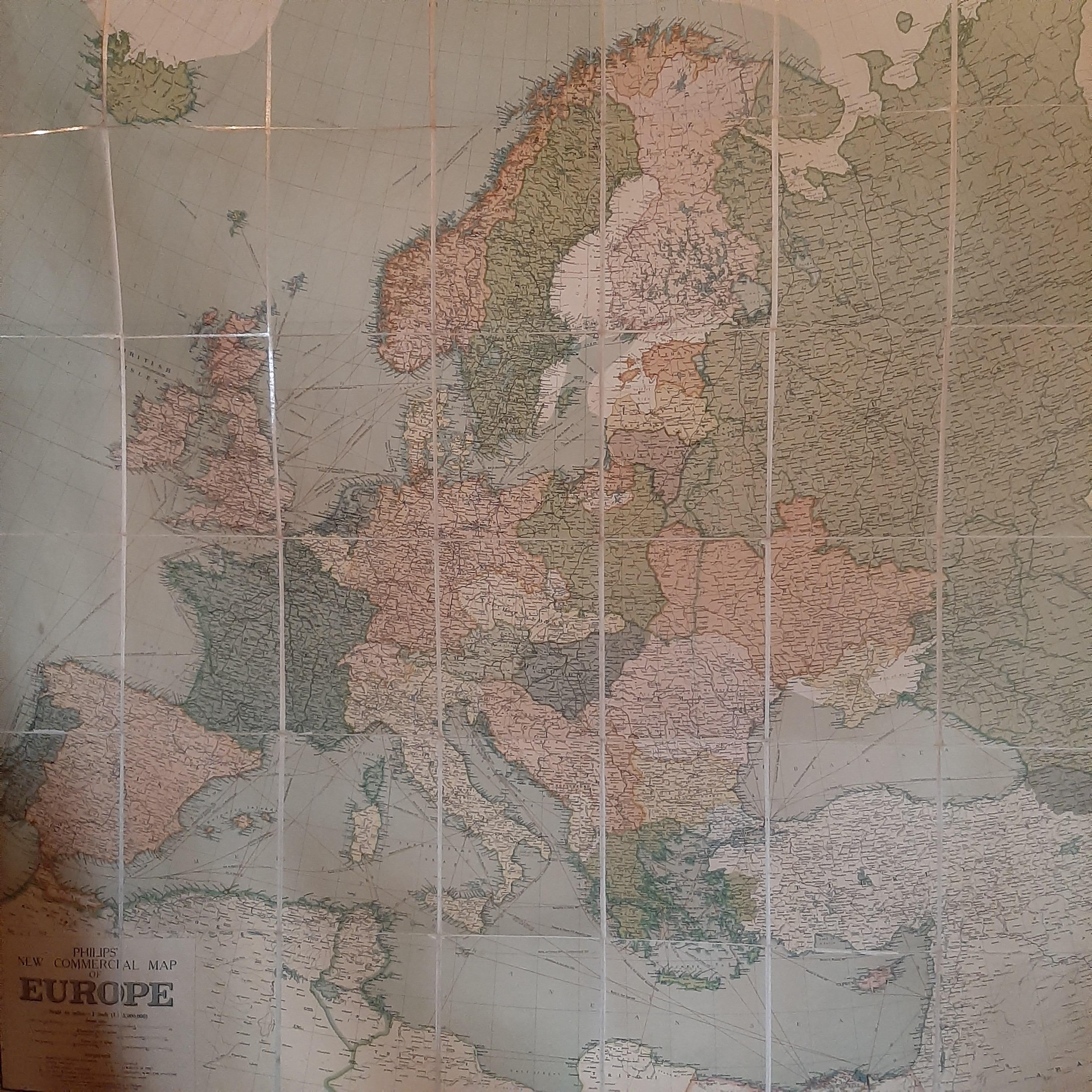
General age-related toning. Split between two segments. Shows some wear and soiling. Please study images carefully.
About this sheet

Antique map titled 'Philips' New Commercial Map of Europe'. Very large wall map of Europe including the North African coast and Turkey. Decorative borders. Dissected into 48 segments and mounted on linen, folding into original boards. Published by George Philip & Son for London Geographical Institute.

More from Europe as a Whole

Ask about this sheet

Large Wall Map of Europe by George Philip & Son, circa 1920
1920 · Ref. M2430 · € 2 500
We reply by email, usually within one working day.