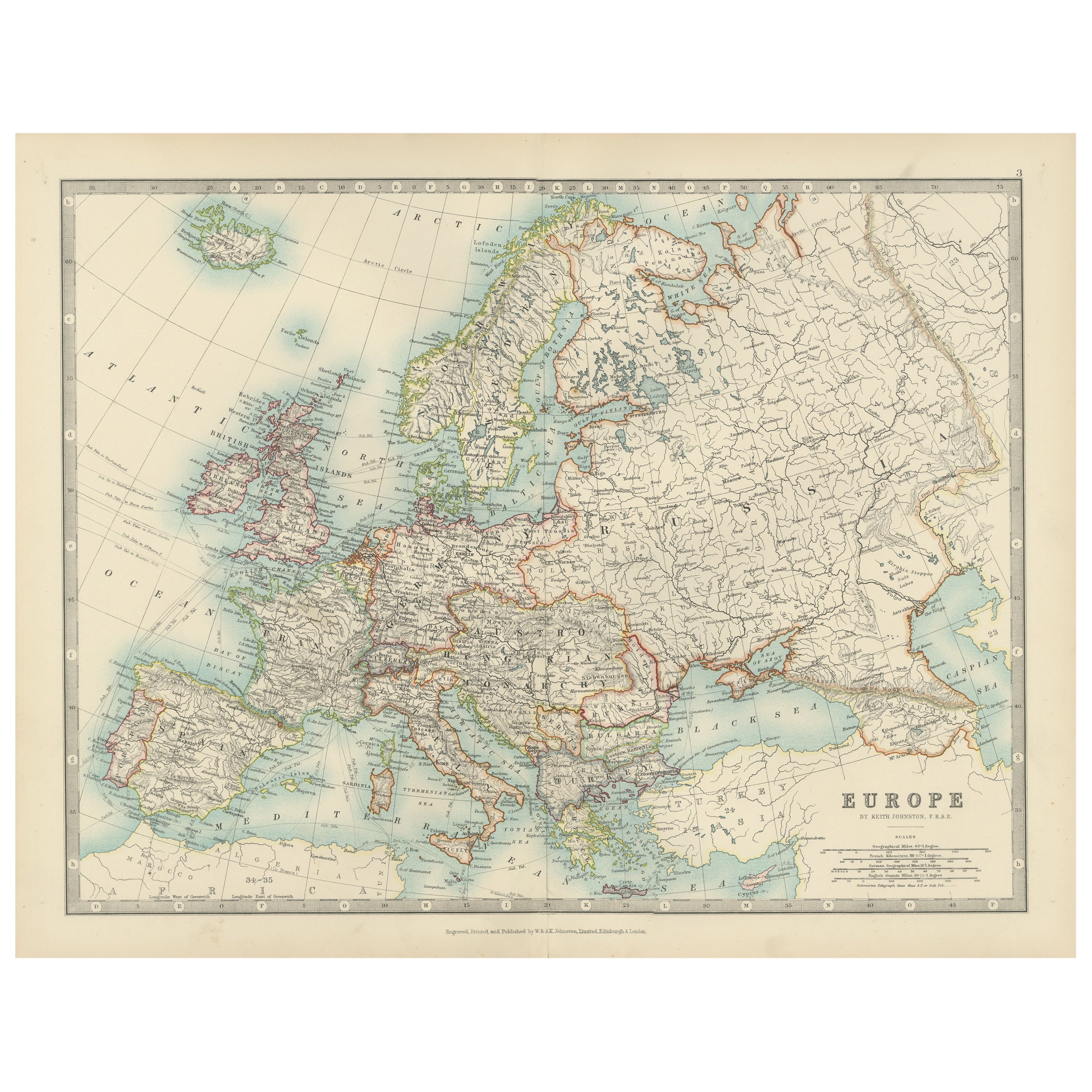
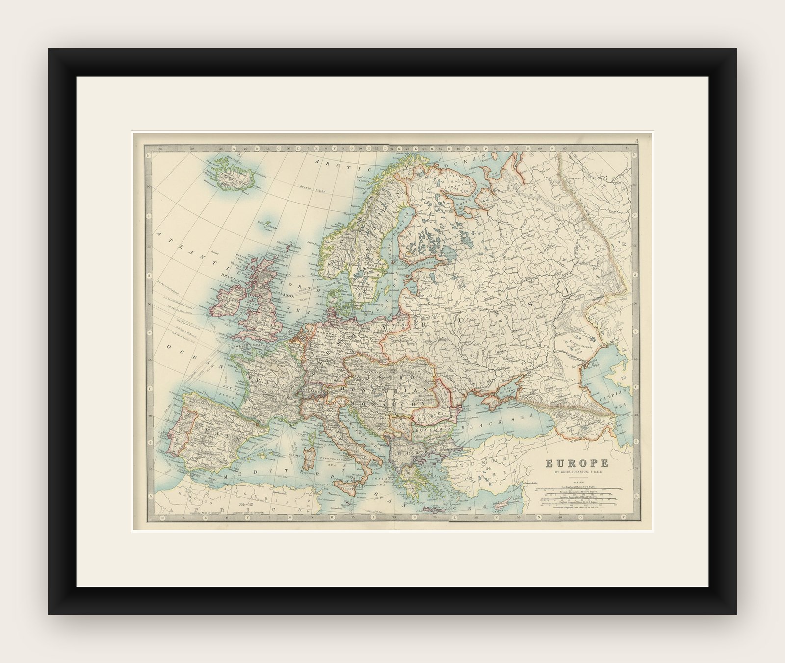
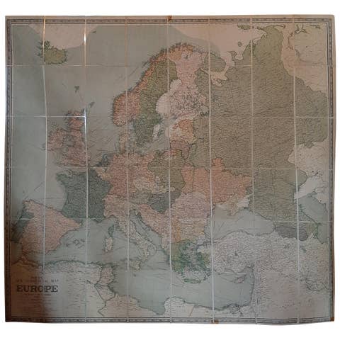
Antique Map of Europe, 1903, with Intricate Political Boundaries and Rich Detail
€ 280
Original antique · The actual sheet photographed · Certificate of authenticity on request · Sold unframed · Worldwide shipping from € 15 (rates)
Date
1903
Sheet size
36.8 × 48 cm (14.5 × 18.9 in)
Condition
Good
Reference
BG-13577-3
What the condition grades mean
Excellent
Bright and clean, with no faults worth mentioning.
Very good
Only light signs of age, such as faint toning.
Good
Normal signs of age for a sheet of this period: toning, some foxing, small marks or neat old repairs.
Fair
Clear faults such as staining, tears or repairs, priced to match.
Every fault we see is written in the condition note, and the whole sheet is shown uncropped in the photos.
Condition
This map is in very good antique condition. Minor foxing and light toning around the edges, consistent with its age, do not detract from its beauty. The colors remain fresh and the paper stable. Folding line as issued.
About this sheet
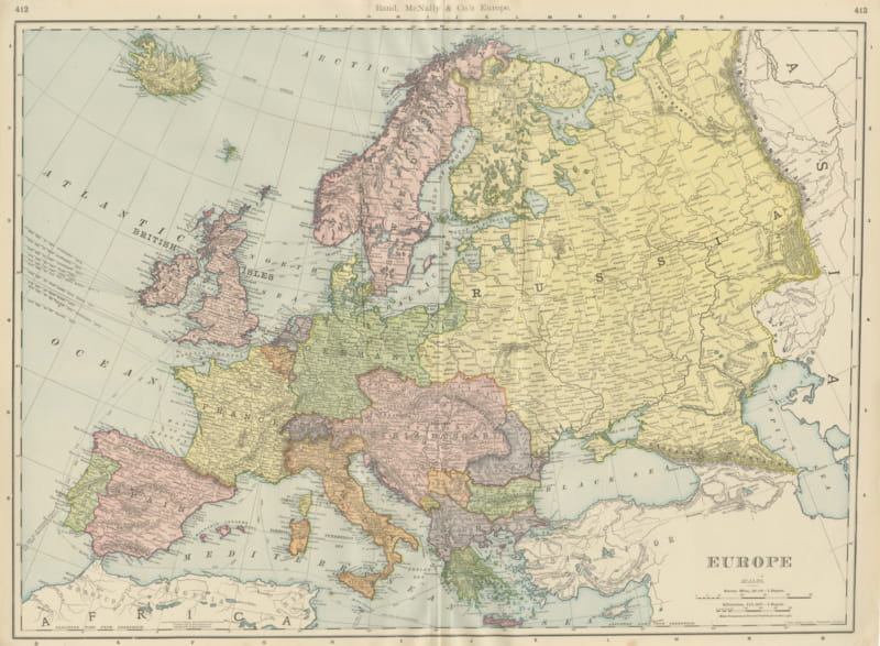
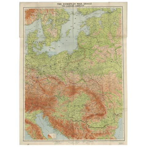
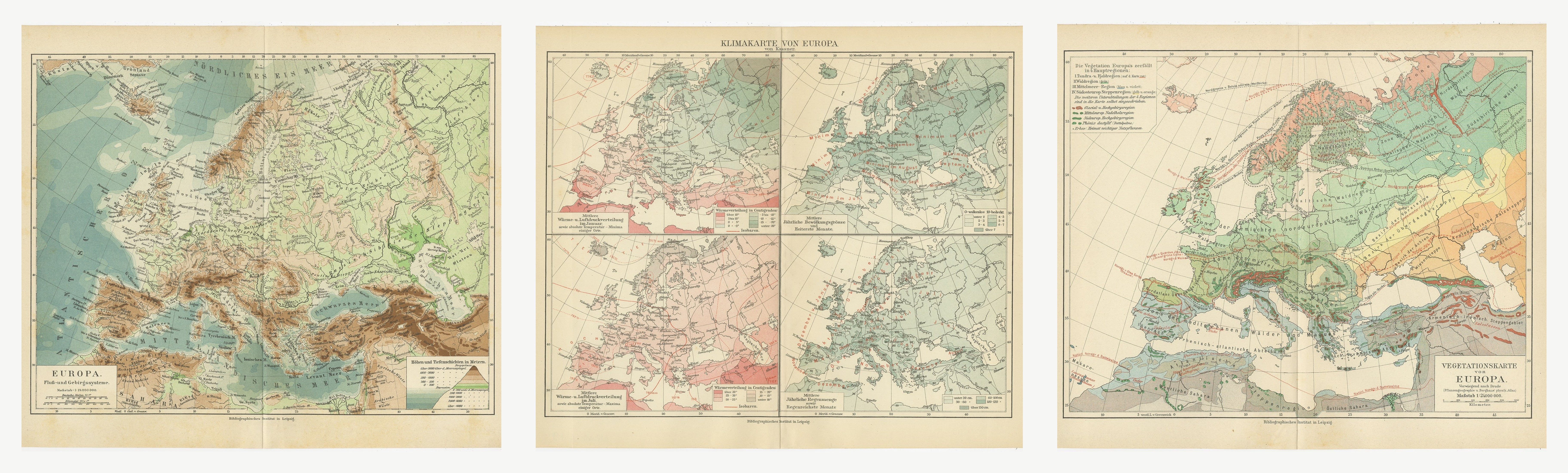
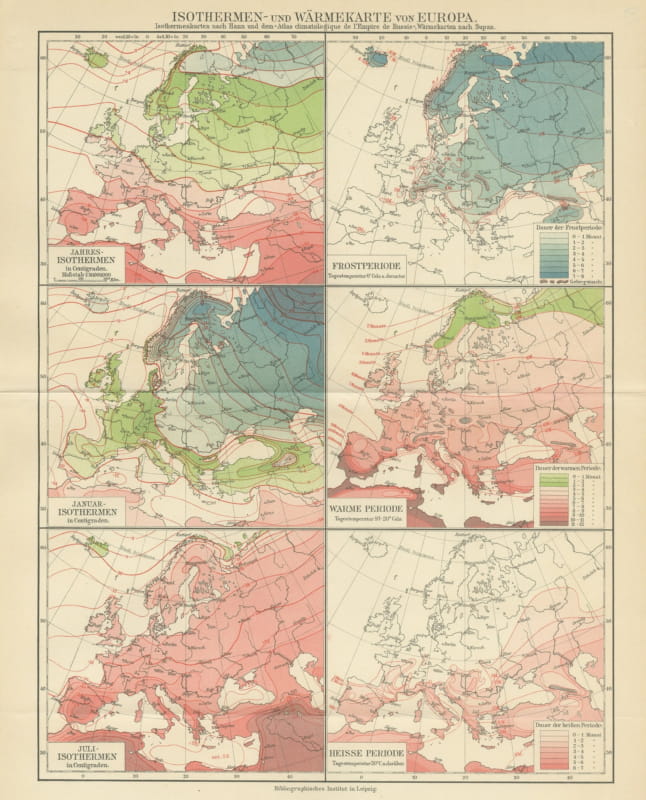
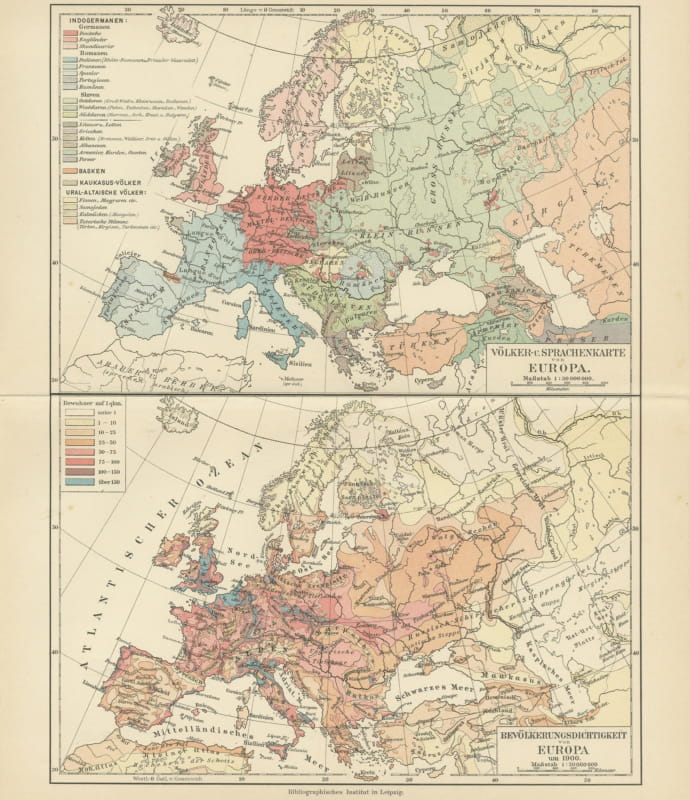
This antique map, titled "Europe," is a finely engraved and beautifully colored cartographic masterpiece published in 1903 by the renowned firm W. & A.K. Johnston in Edinburgh and London. It offers a captivating snapshot of the political and geographic landscape of Europe at the dawn of the 20th century, a period marked by shifting alliances and imperial ambitions.
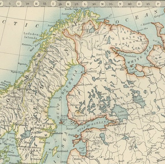
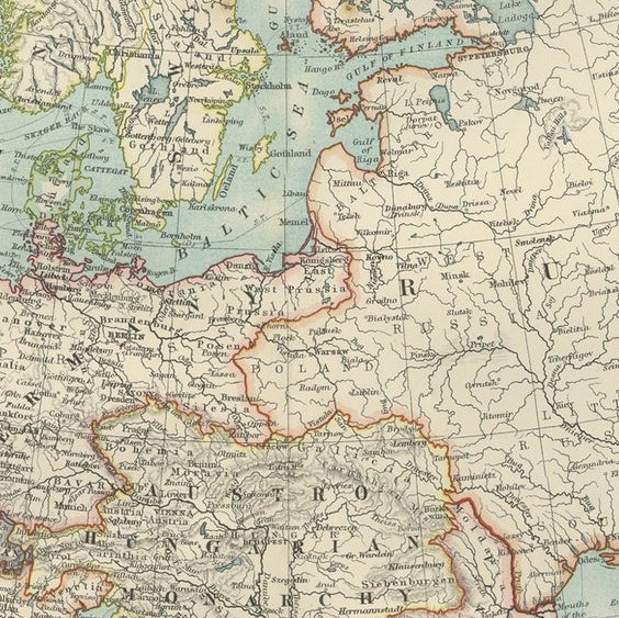
The map meticulously details the entire European continent, extending from the icy waters of the Arctic to the sun-drenched shores of the Mediterranean and the Black Sea. With an intricate web of borders, it illustrates the complex political arrangements of the era, including the Austro-Hungarian Empire, the Ottoman Empire, and the Russian Empire—all of which would soon undergo profound transformations. Major cities, mountain ranges, rivers, and railway lines are all clearly marked, reflecting the interconnectedness and dynamism of Europe during this period of modernization and industrial expansion.
This map’s delicate pastel hues—soft greens, blues, and pinks—combined with precise typography and fine engraving, create a visually appealing work of art. It is a testament to the exceptional skill of the Johnston family of cartographers, who were celebrated for their accuracy and aesthetic sensibility.
For collectors and lovers of history, this map is more than just a geographic tool. It is a glimpse into a world poised on the brink of dramatic political upheaval, capturing the last years of Europe’s old empires and the dawn of the modern era. Whether displayed in a home, library, or office, it brings a sense of timeless elegance and historical curiosity to any space.
Condition report: This map is in very good antique condition. Minor foxing and light toning around the edges, consistent with its age, do not detract from its beauty. The colors remain fresh and the paper stable. Folding line as issued.
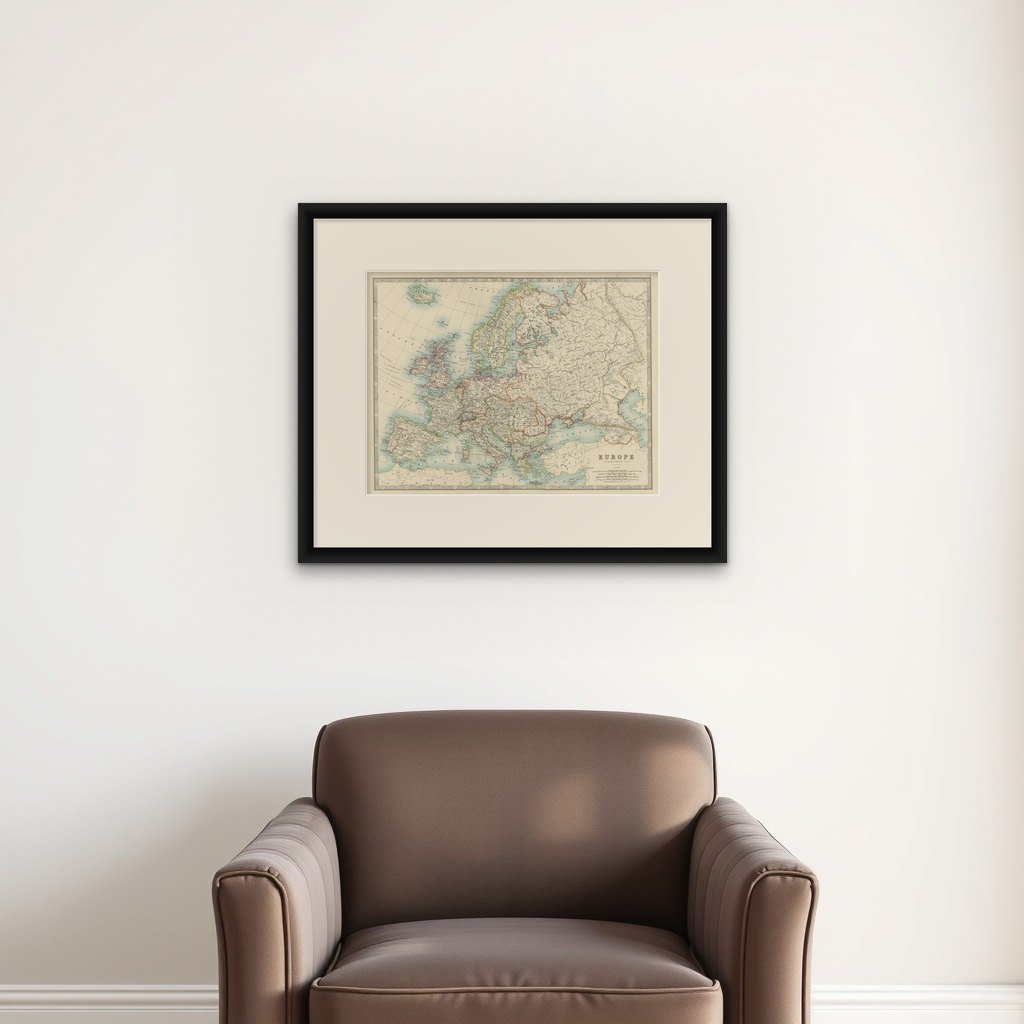
Framing tips: Choose a classic dark wood frame, such as walnut or mahogany, to complement the warm pastel tones. A cream or light tan mat will accentuate the map’s fine details and soft coloring, creating a refined presentation perfect for any room.