About this sheet
Antique Japanese Map of Europe, Russo-Japanese War, Meiji 1904

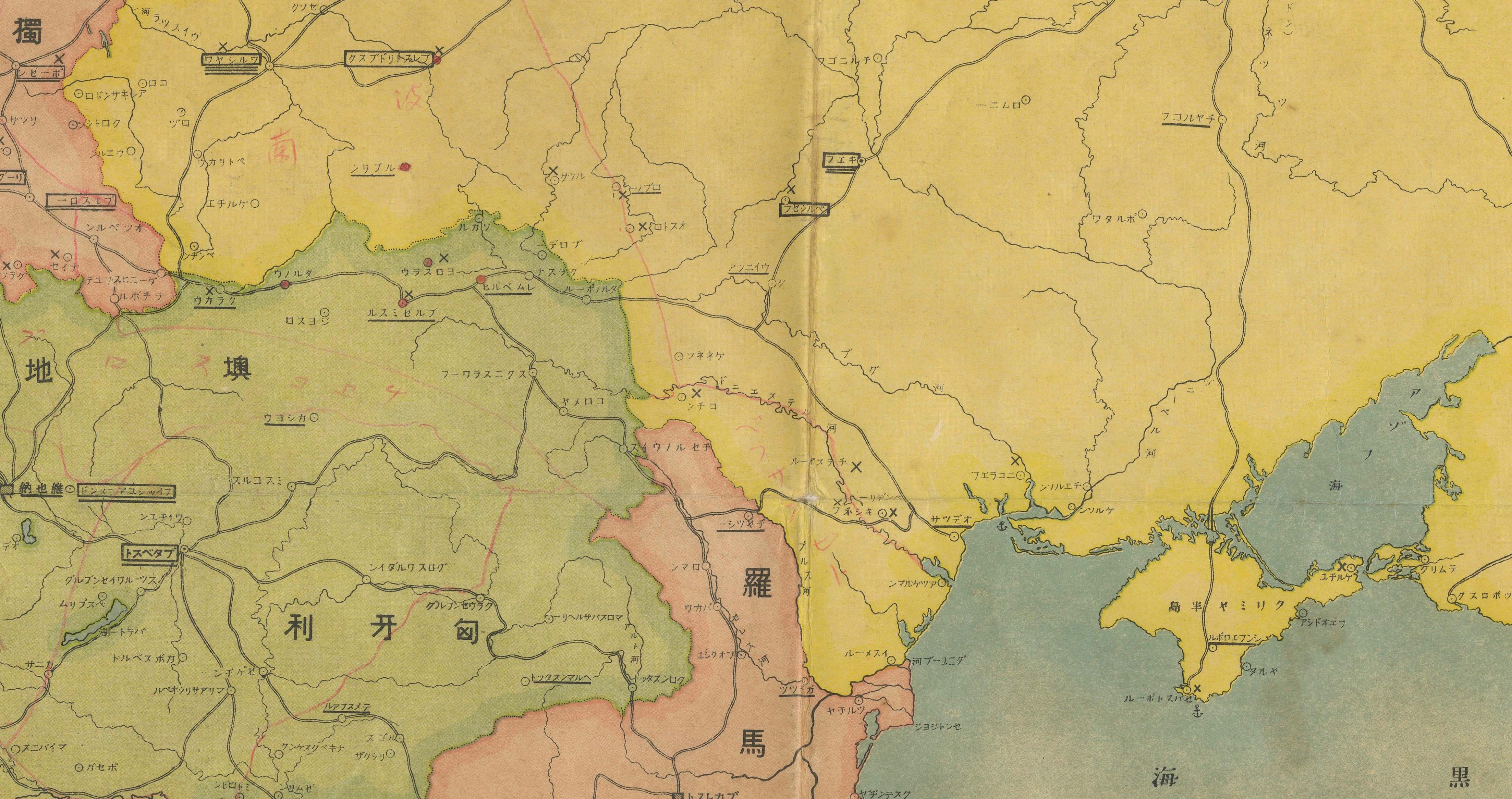
This striking and historically charged Japanese map of Europe was issued in 1904 (Meiji 37) at the outbreak of the Russo-Japanese War, offering a rare East Asian perspective on European geography at a pivotal moment in global power dynamics. Produced as a wartime informational sheet—likely a newspaper supplement—this map reflects how Japan interpreted and communicated the European theatre to its domestic audience during its rise as a modern imperial power.
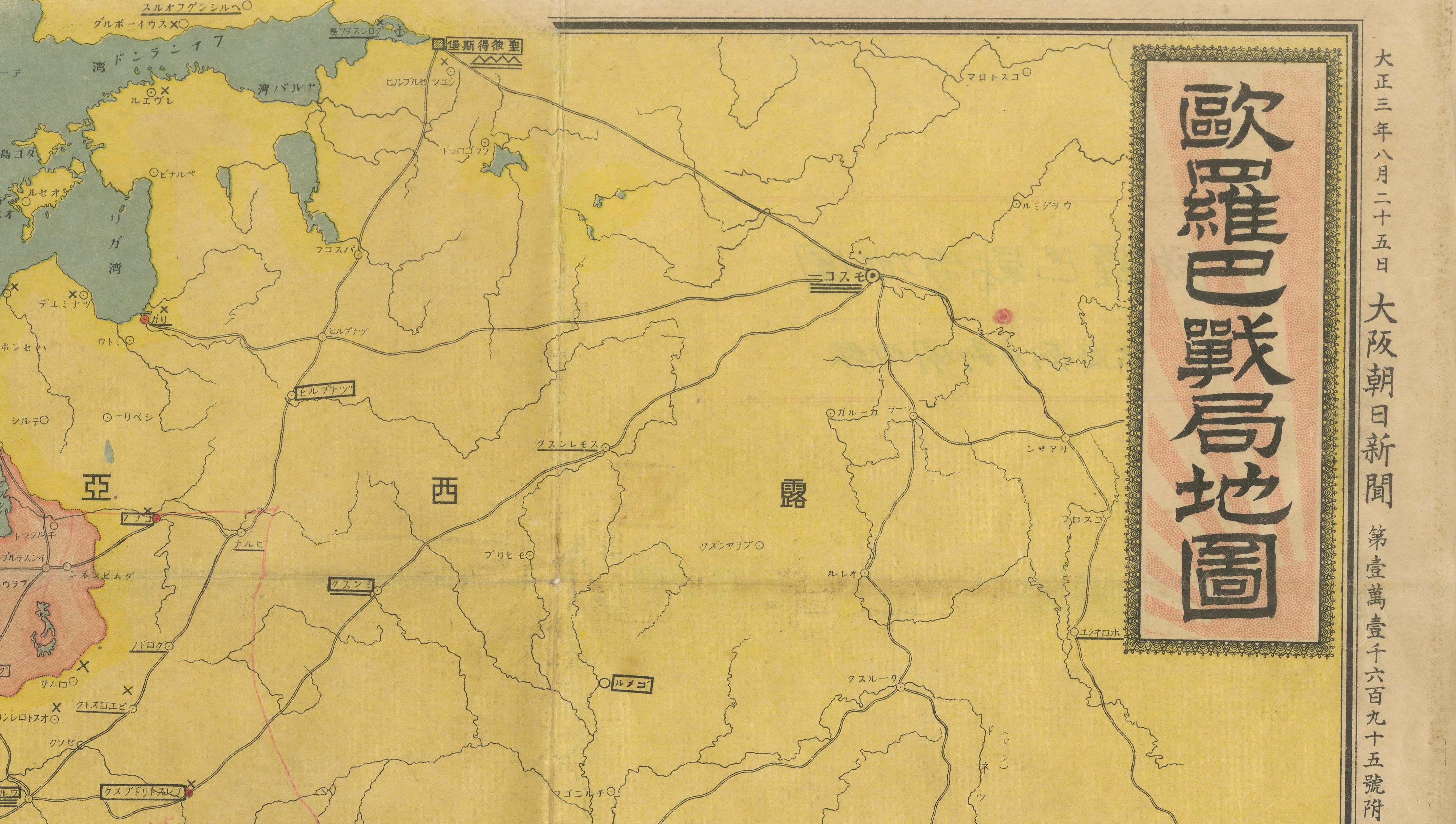
The bold vertical title cartouche reads “Map of the European War Situation,” immediately situating the piece within the context of contemporary conflict. At a time when Russia was Japan’s principal adversary, the European continent—particularly its vast eastern territories—is rendered with notable emphasis. Russia dominates the map visually, while Central and Western Europe are carefully divided into distinct color-coded regions, each annotated in Japanese script.
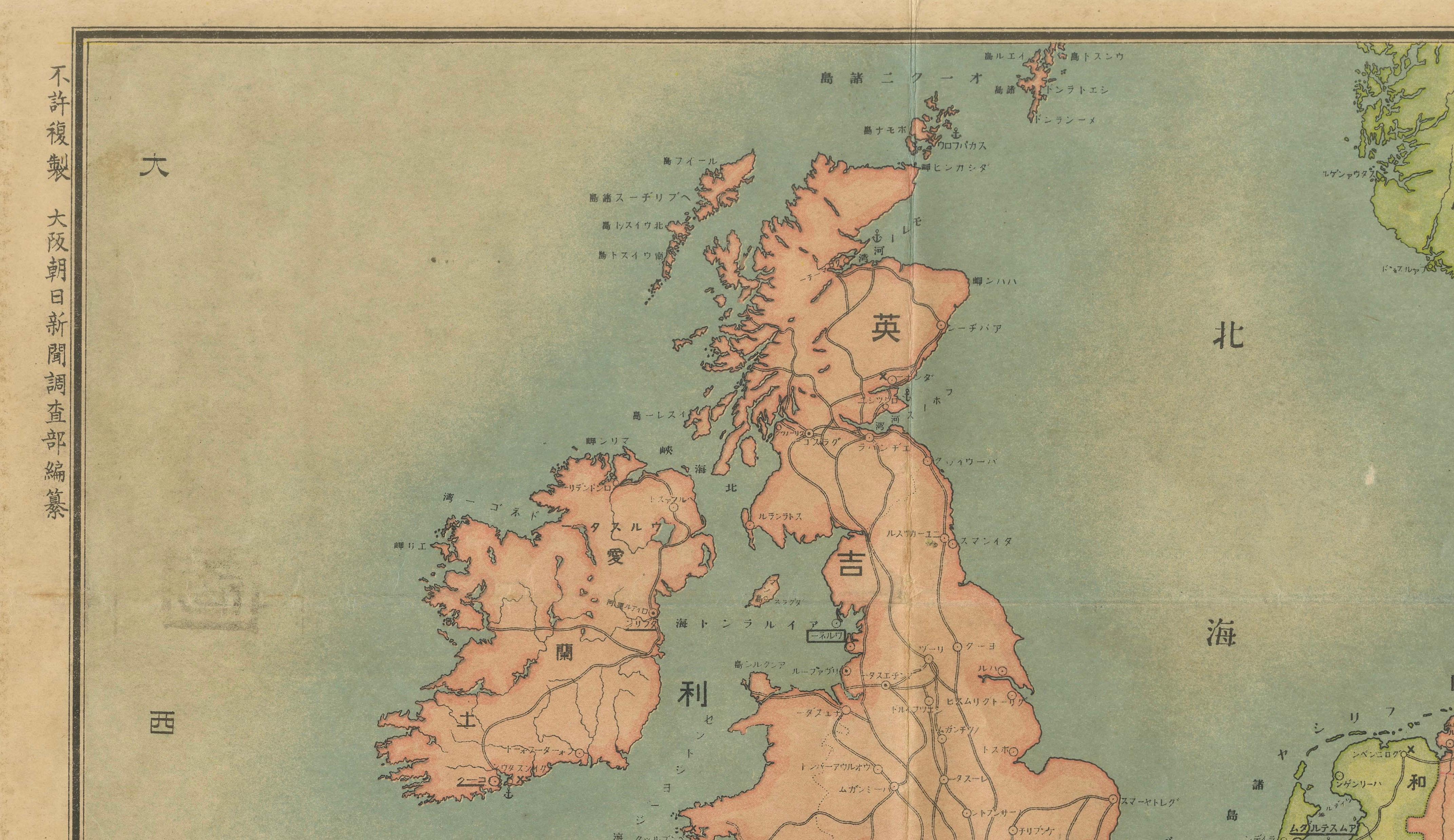
A dense network of railways, cities, and transport routes is meticulously plotted throughout, underscoring the strategic importance of infrastructure in early 20th-century warfare. These elements were crucial for readers following the conflict, transforming the map into both an educational and quasi-intelligence document. The presence of a legend and the clarity of geographic delineation further support its function as a practical wartime reference.
Stylistically, the map combines traditional cartographic clarity with the refined color lithography characteristic of the Meiji period. The soft yet distinct palette enhances its decorative appeal, while the original fold lines—clearly visible—attest to its authentic use and distribution.
Maps of this kind are increasingly sought after for their cross-cultural perspective and their connection to a defining geopolitical moment, when Japan emerged onto the world stage as a major power. It is both a compelling historical artifact and a visually engaging decorative piece, ideally suited for a study, library, or interior with a global or scholarly theme.
Condition report:
Good condition, with general age-related toning and light wear. Original fold lines as issued, clearly visible. Minor creasing and light edge wear. The sheet remains structurally sound and presents very well. Please study the images carefully.
Framing tips:
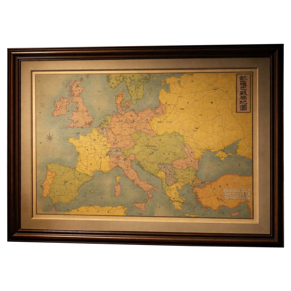
This piece is ideally suited to a dark wood or ebonized frame with a wide, museum-style double mat in warm ivory and muted taupe tones. A darker interior setting—such as a study or library—will enhance its geopolitical character, while a soft spotlight will bring out the subtle color palette and historical depth.
Technique: Lithograph
Maker: Japanese publisher, likely Osaka Asahi Newspaper supplement, Japan, 1904
All items we offer are authentic period works of art over 100 years old. The print is sold unframed; any framed images are shown for presentation and interior inspiration only.