About this sheet
Antique Levasseur Maps Europe & Africa, Decorative Atlas Pair c.1845
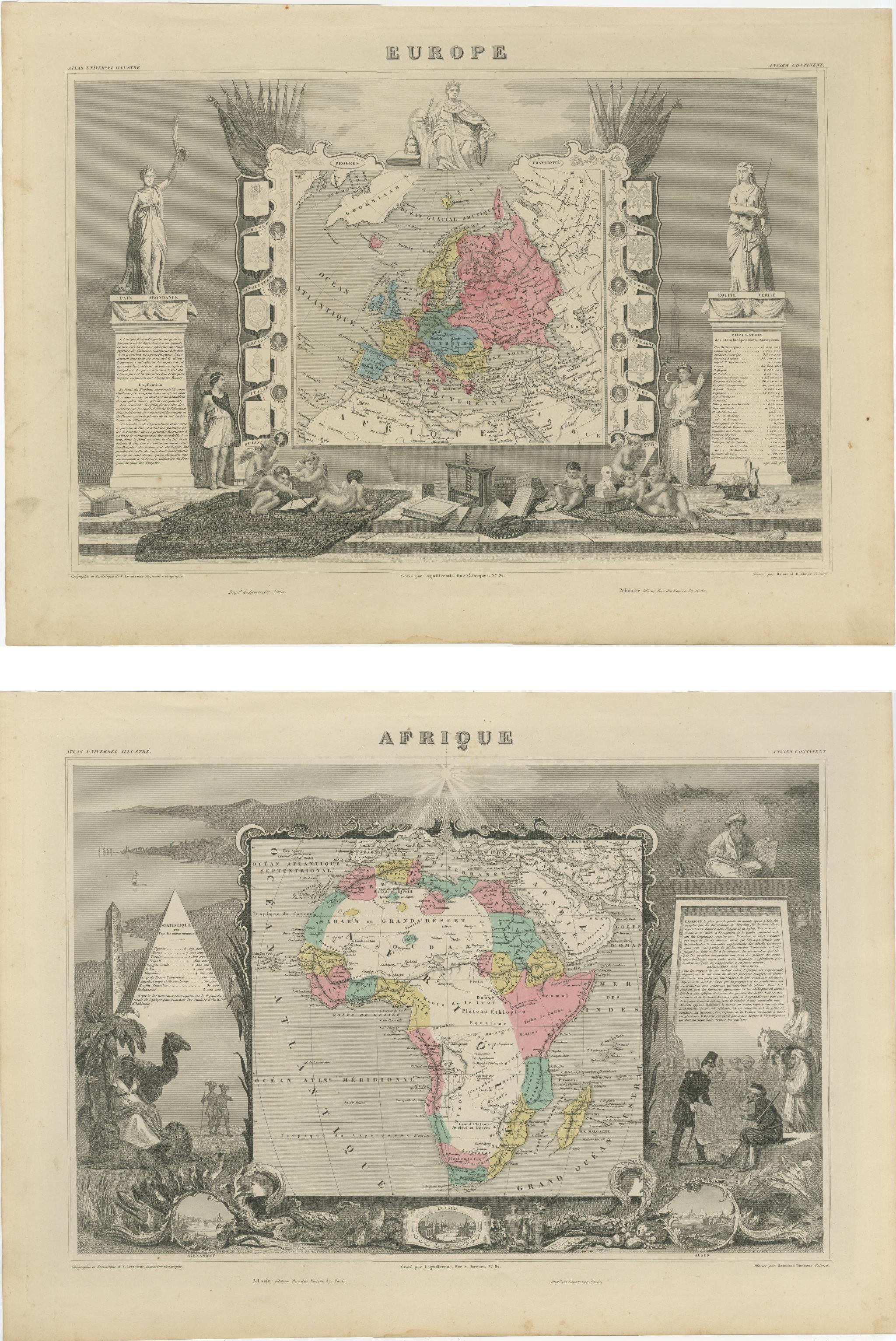
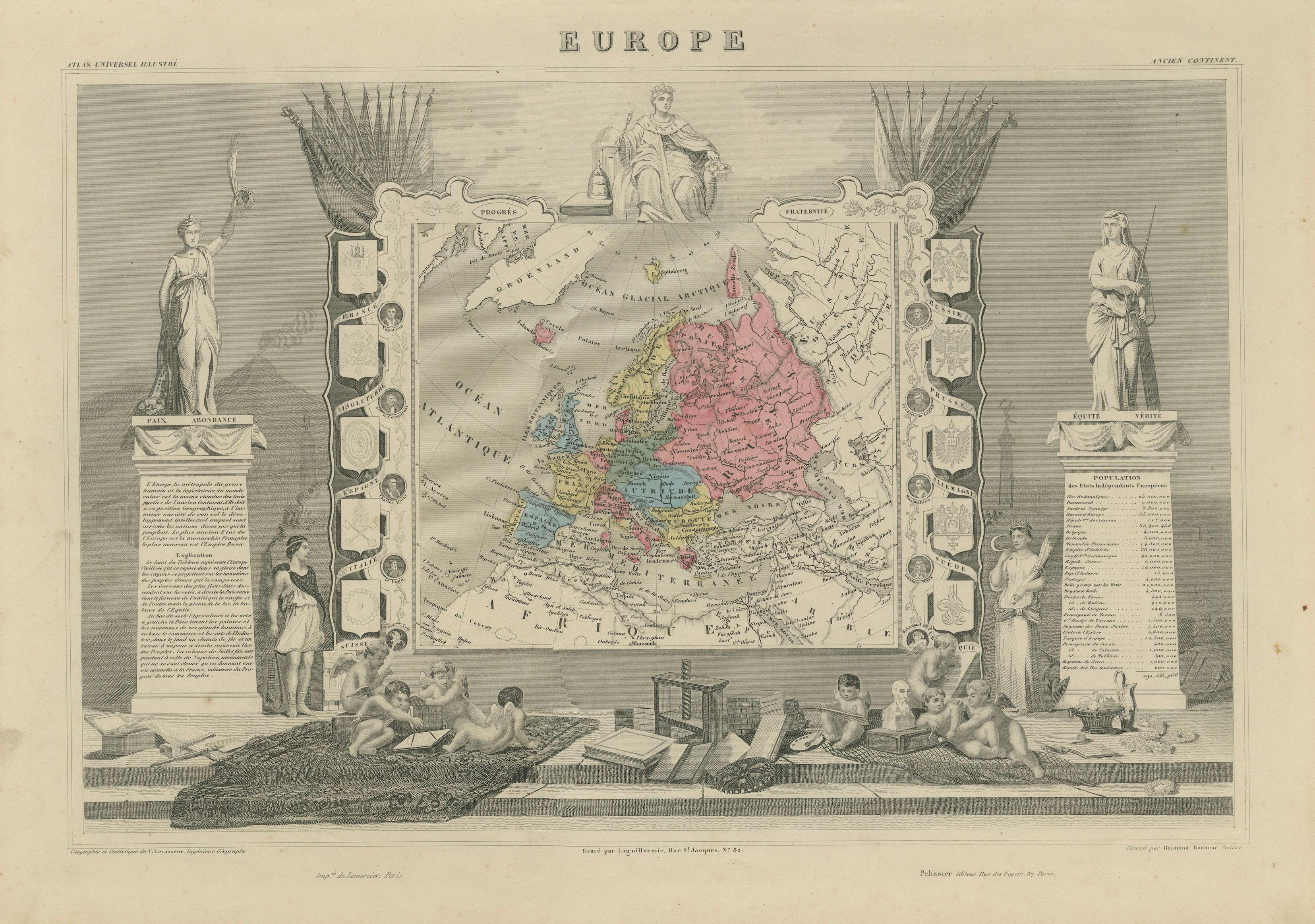
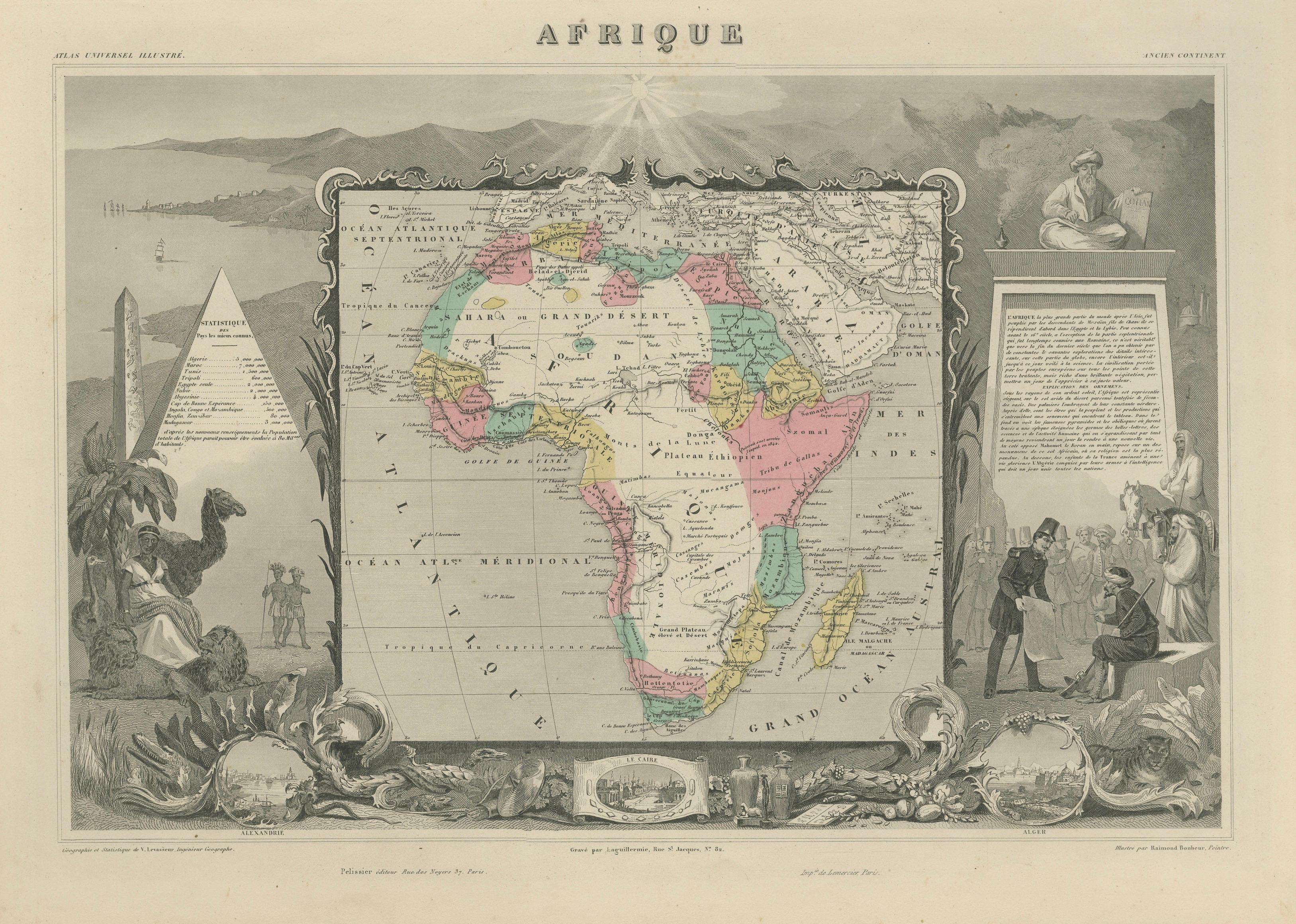
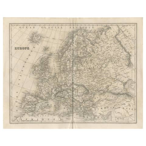
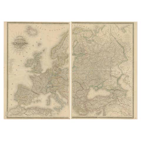
A striking and highly decorative pair of mid-19th-century maps depicting Europe and Africa, created by the celebrated French cartographer Victor Levasseur and published in Paris circa 1842–1845 as part of the renowned Atlas Universel Illustré. These maps represent one of the most visually elaborate and artistically refined atlas productions of the period, combining geographical knowledge with rich allegorical and architectural ornamentation.
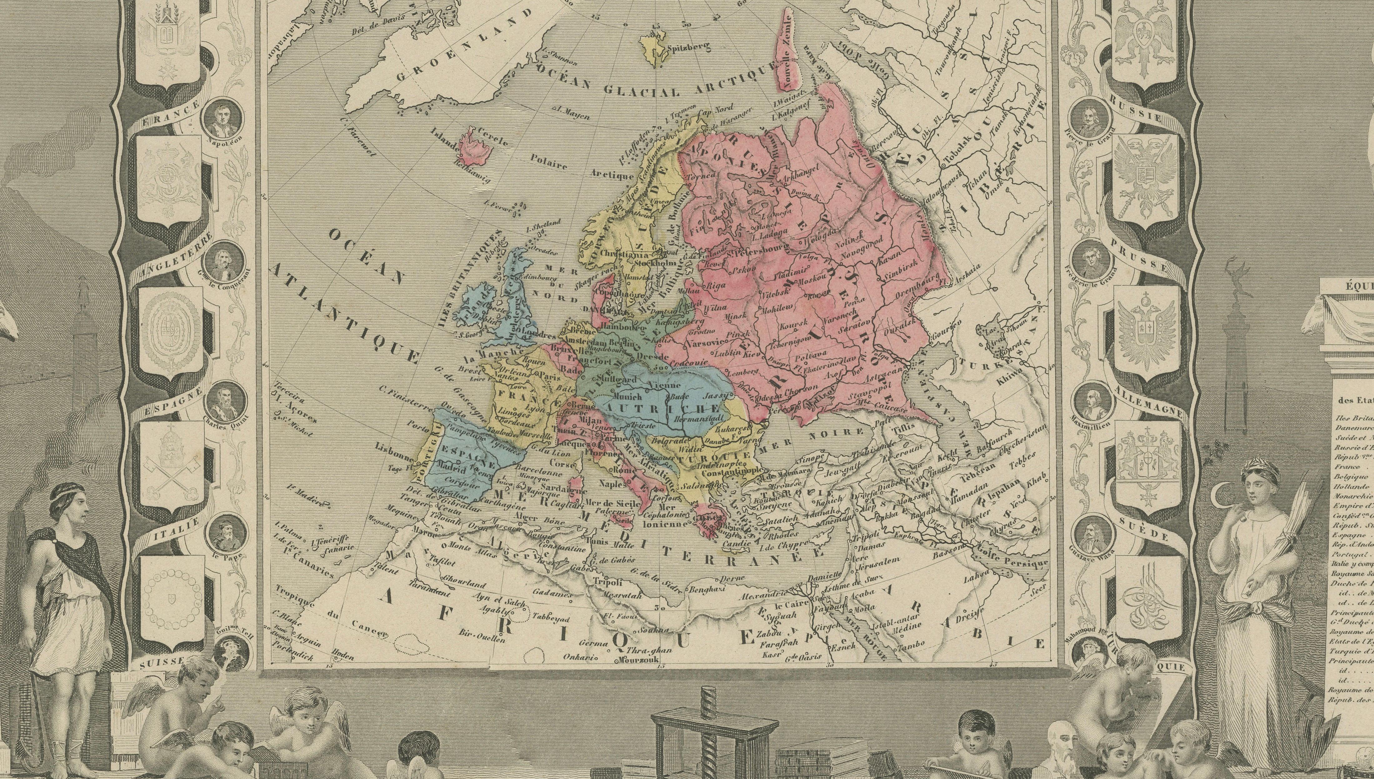
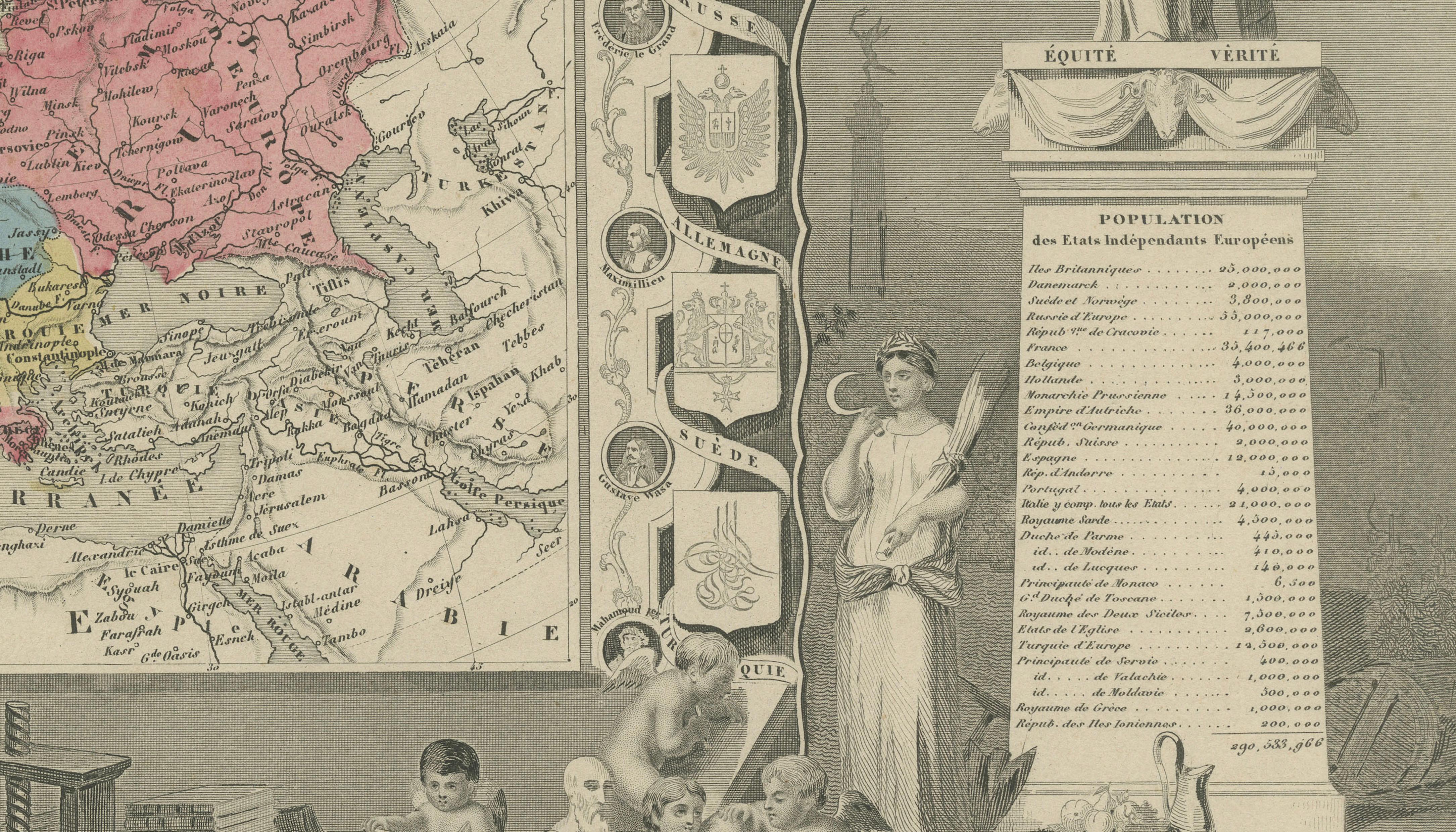
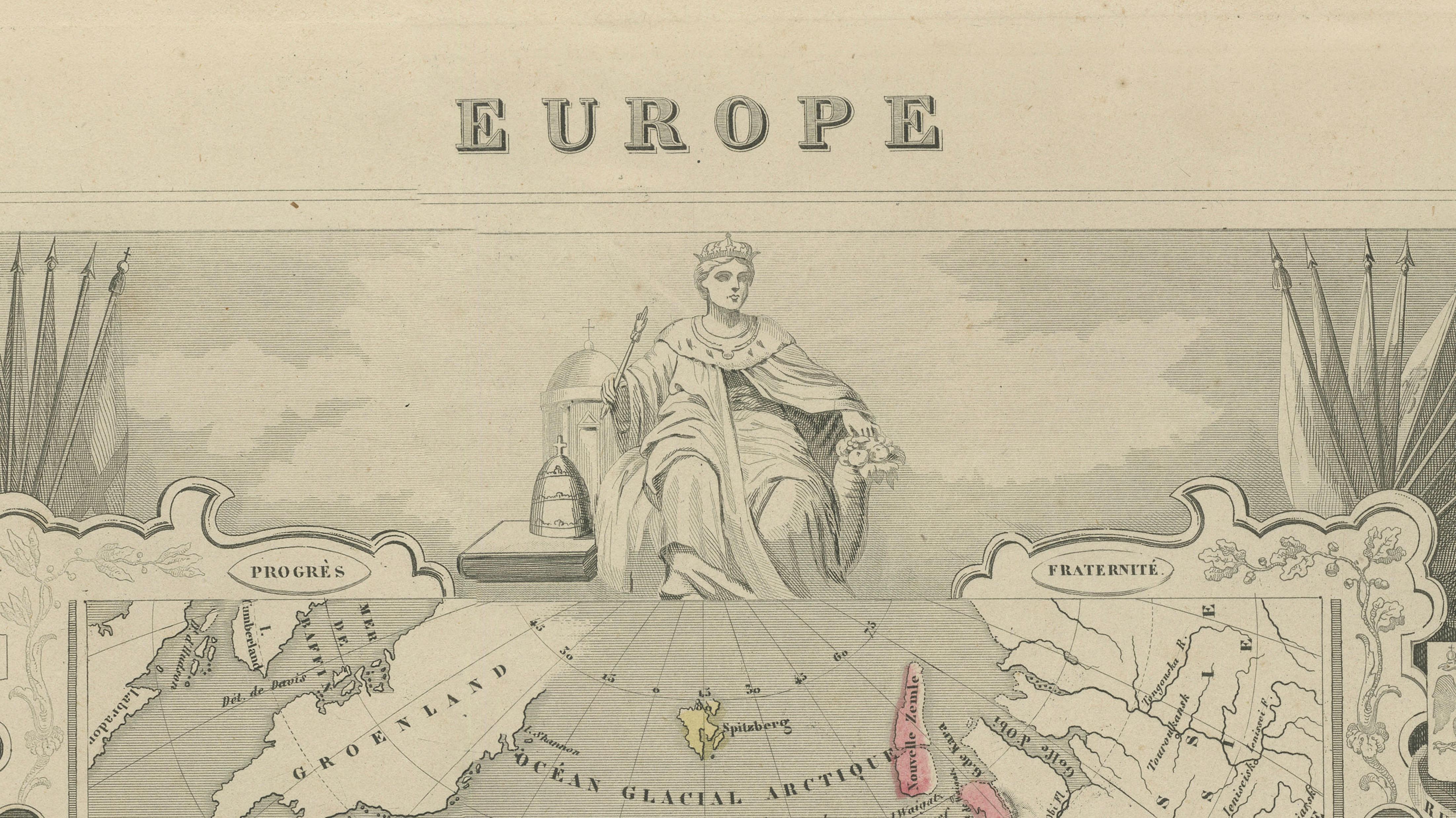
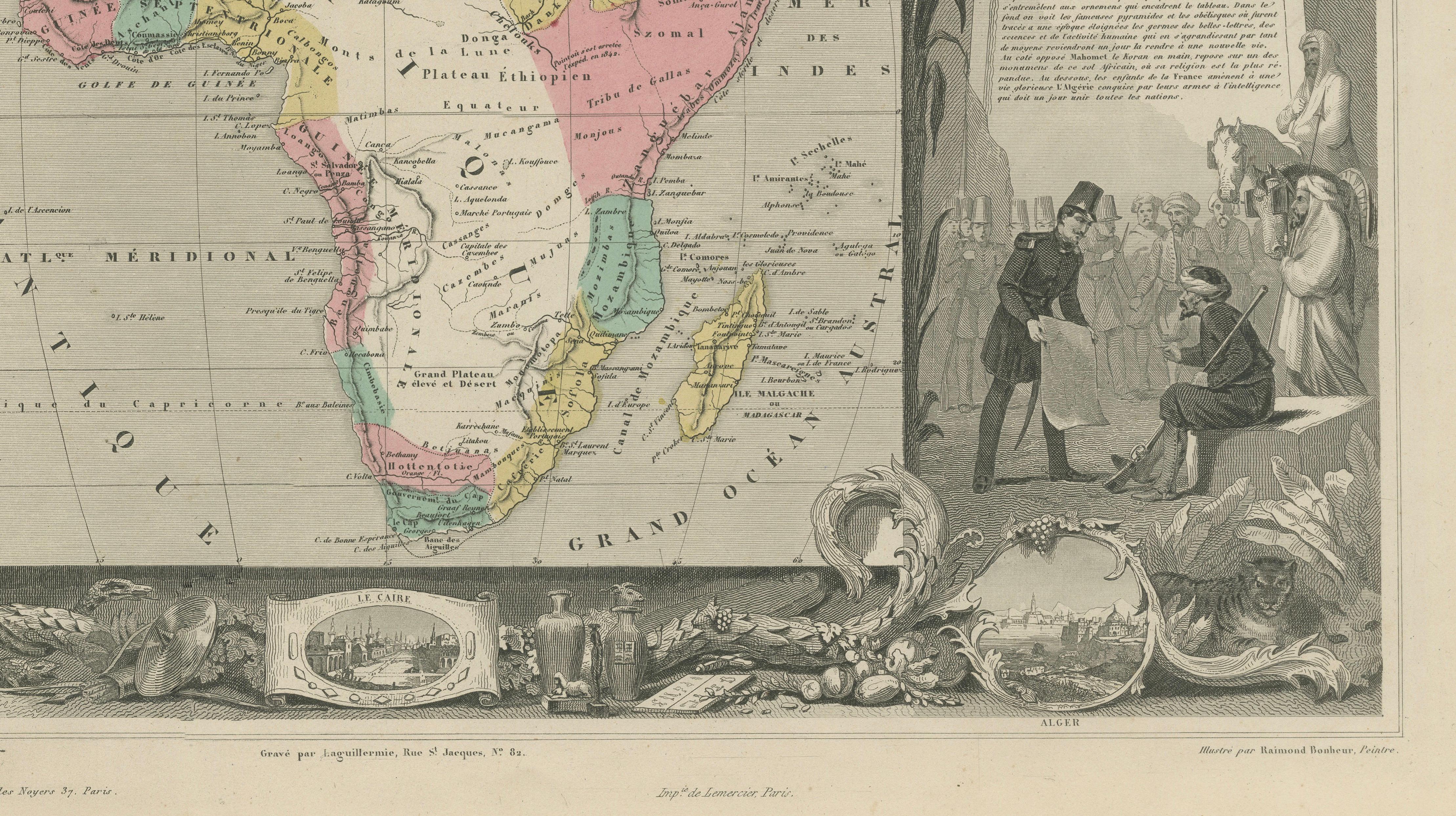
Each map is centered within an ornate engraved border filled with symbolic imagery, classical figures, and narrative vignettes reflecting the culture, history, and perceived identity of the continent depicted. The map of Europe is framed by neoclassical figures representing progress, arts, and civilization, accompanied by coats of arms and scholarly motifs. The Africa map presents a contrasting visual program, featuring pyramids, exotic animals, and figures intended to evoke 19th-century European perspectives on the continent, along with detailed statistical and descriptive panels.
Both maps are enhanced with original hand coloring, carefully applied to highlight political divisions and geographic features, while the surrounding engravings remain in fine monochrome, creating a strong visual contrast that enhances their decorative appeal. The balance between cartographic precision and artistic embellishment makes Levasseur’s work particularly desirable for collectors and interior designers alike.
As a matched pair, these maps offer exceptional display potential, ideal for a study, library, or refined interior where historical elegance and visual storytelling are appreciated. Their large format and intricate detail reward close inspection while also making a strong statement from a distance.
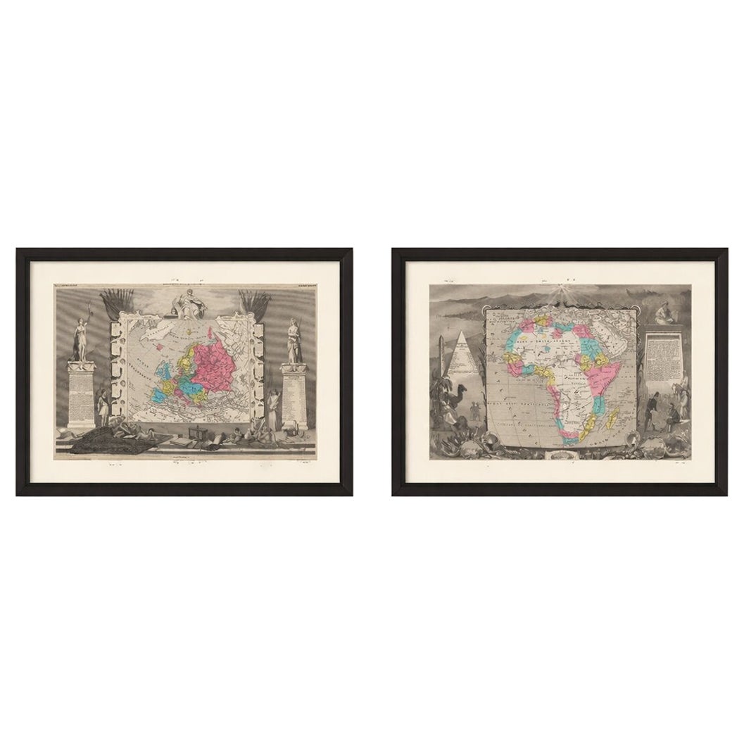
This is an original 19th-century engraving, not a reproduction. All items we offer are authentic period works of art over 100 years old. The maps are sold unframed; any framed images are shown for presentation and interior inspiration only.
Condition: Overall in very good condition for age, with light toning to the paper and minor age-related wear at the margins. Occasional faint spots consistent with 19th-century paper. Strong impressions with vibrant original hand color. Plate marks visible.
Framing tips: These maps work beautifully as a symmetrical pair in dark walnut or ebonized frames with wide ivory or warm off-white mats. A classic gallery-style presentation enhances the contrast between the detailed engravings and the soft tones of the paper, creating a refined and timeless wall display.
Technique: Steel engraving with original hand coloring
Maker: Victor Levasseur, Paris, circa 1842–1845
Keywords: Levasseur map, Atlas Universel Illustré, antique map Europe, antique map Africa, 19th century map, decorative cartography, French engraving, hand colored map, architectural border map, allegorical figures map, neoclassical map design, Victorian era map, Paris published atlas, historical geography print, large wall map pair, decorative antique maps, collectible cartography, Europe political map 19th century, Africa map colonial era, ornate atlas plate, classic study decor, library wall art, museum style maps, interior design antique prints, Bartele Gallery maps, original antique engraving, steel engraving map pair