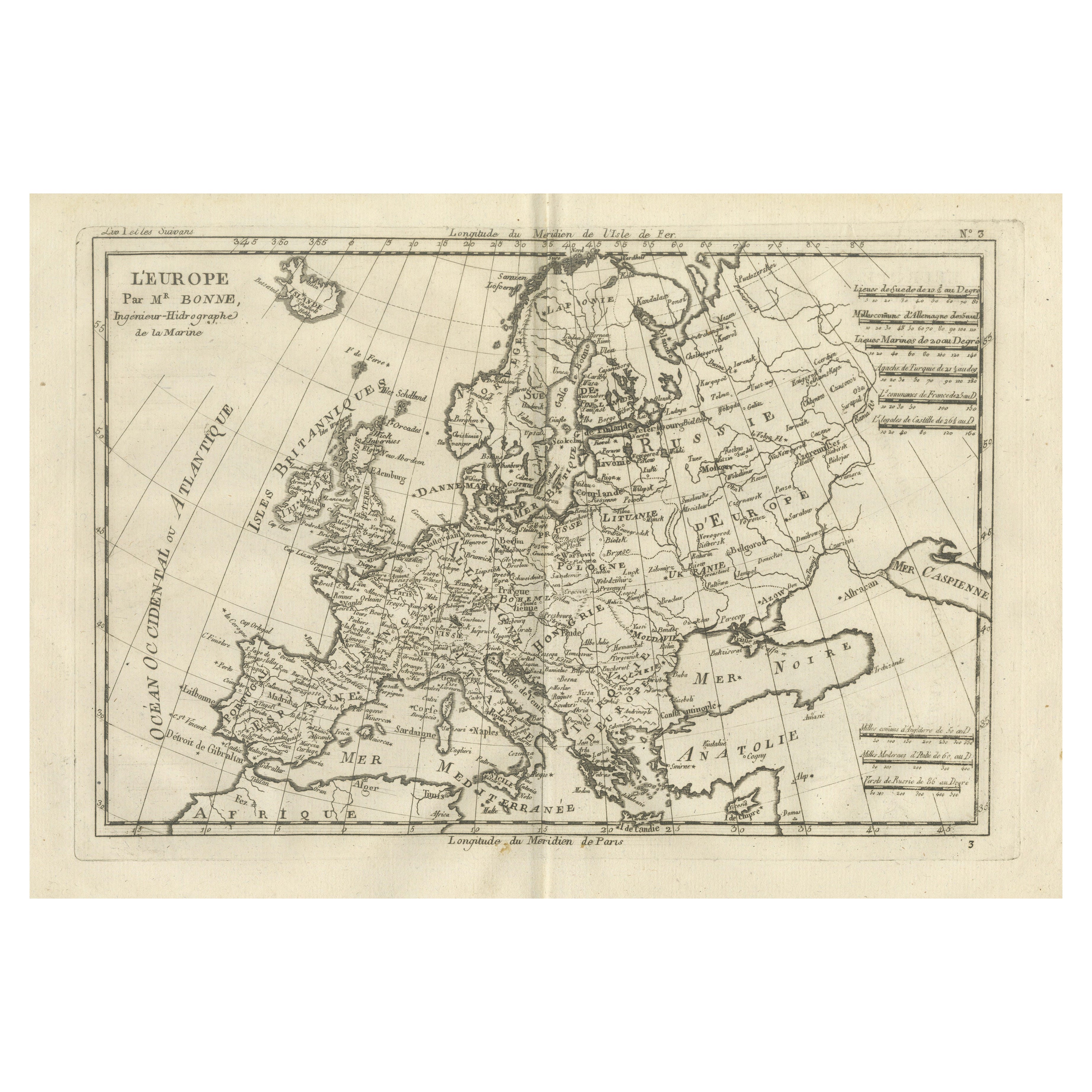
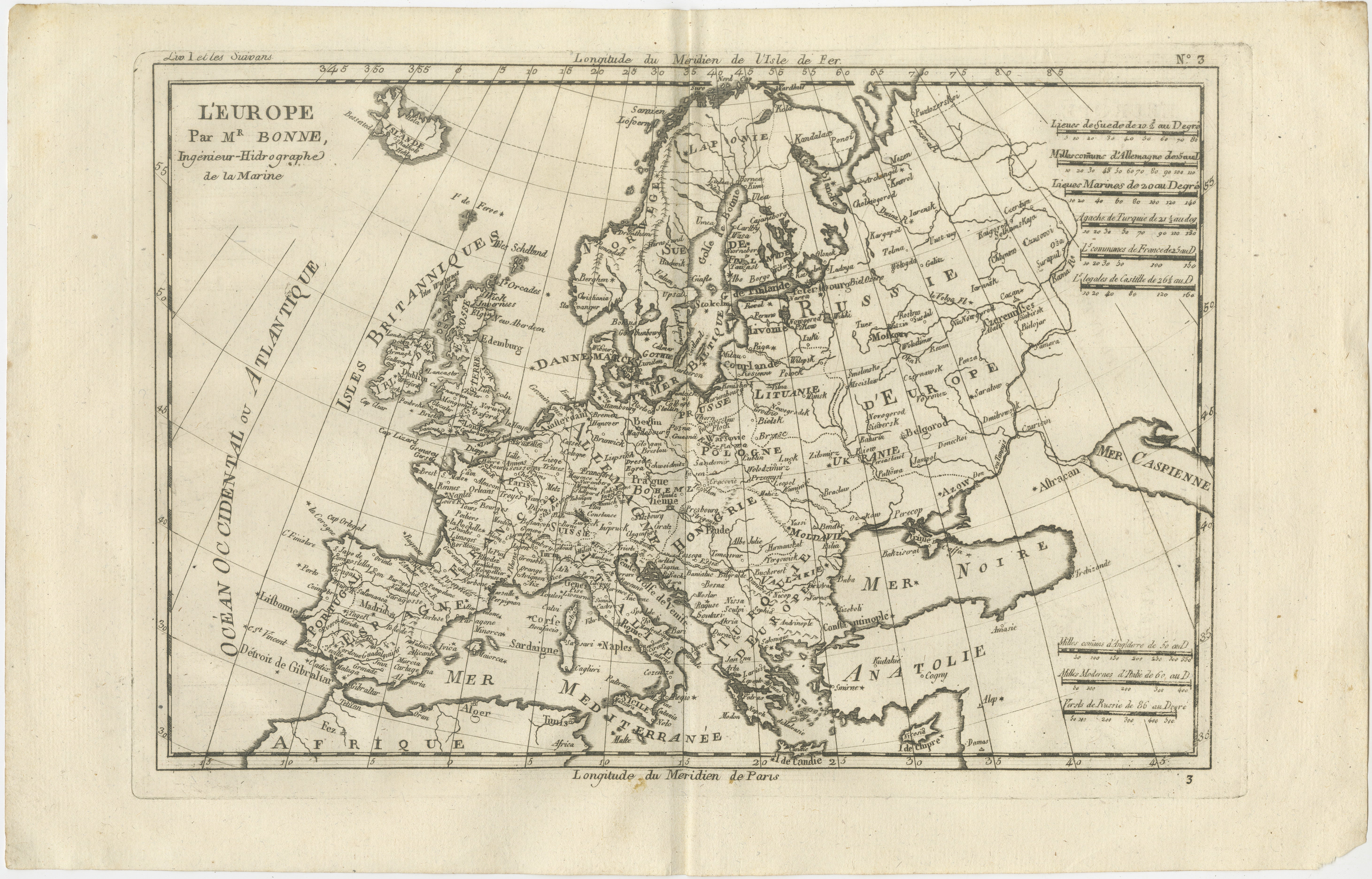
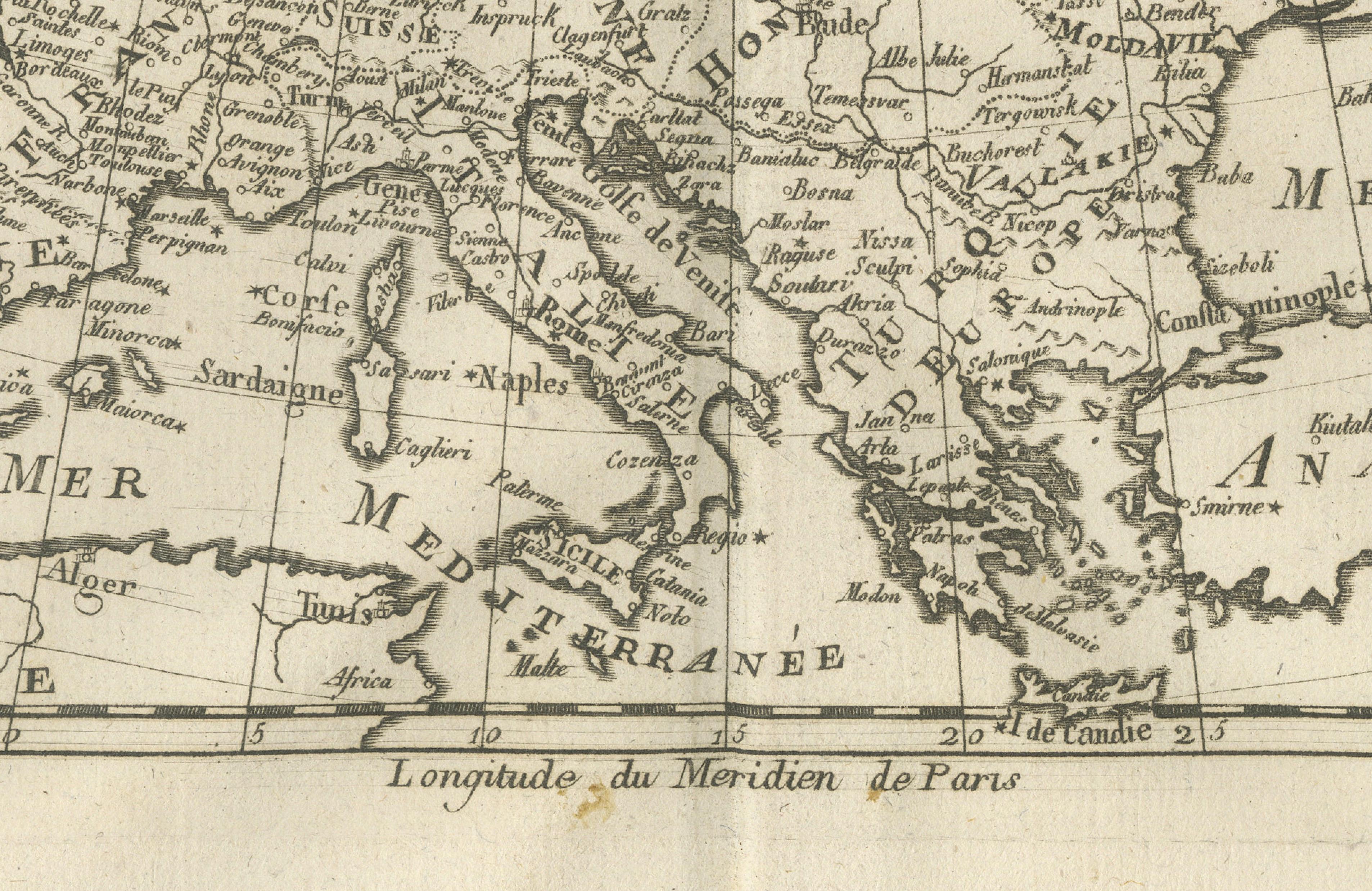
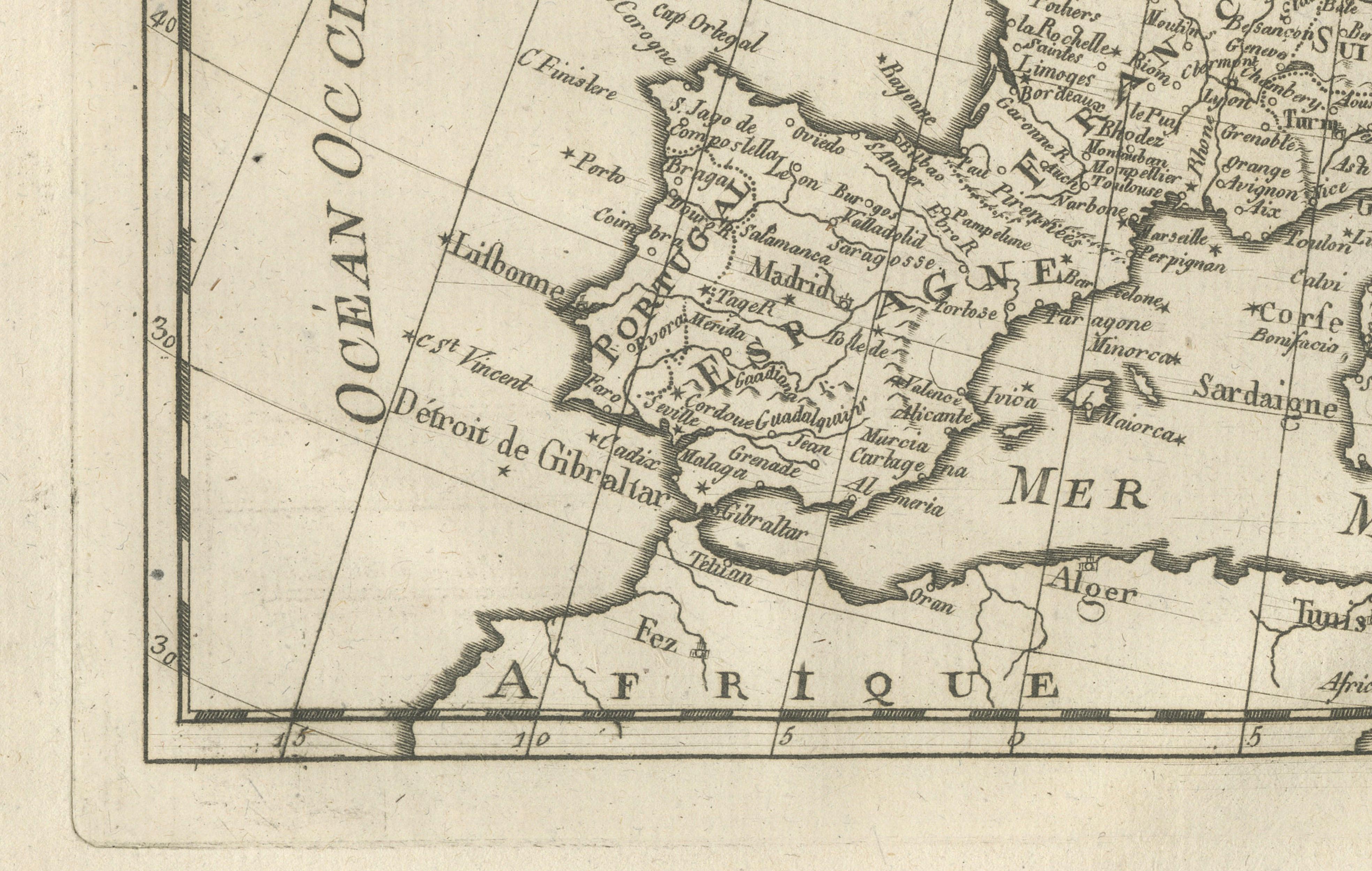
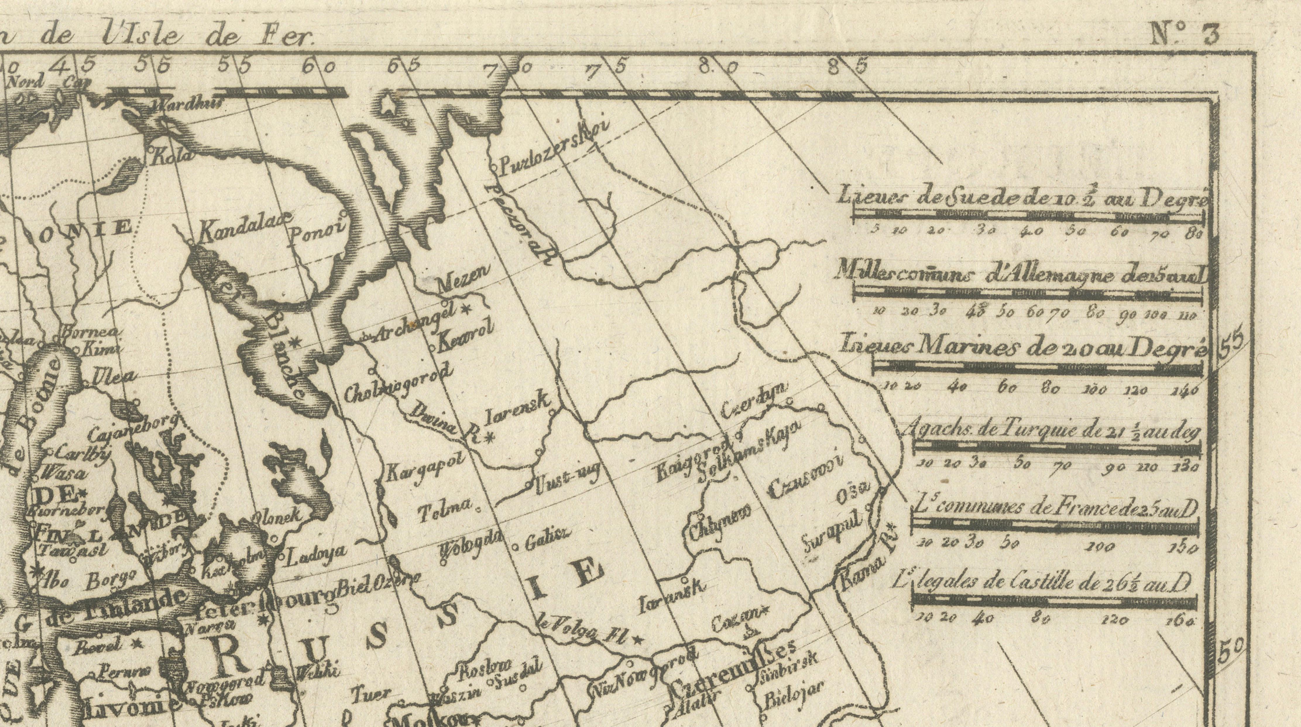
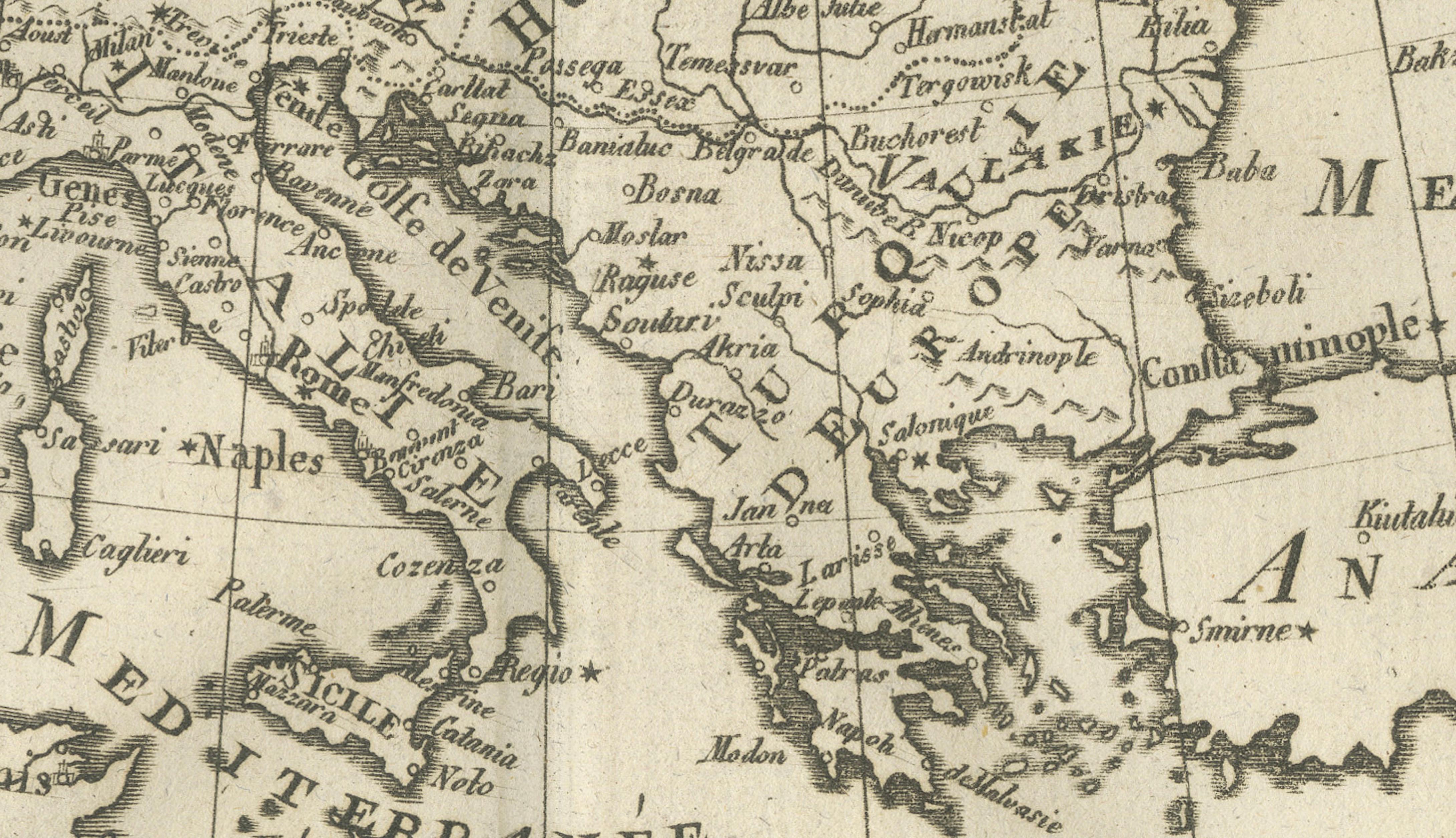
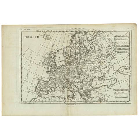
Europe Map by Rigobert Bonne – Enlightenment Cartography c.1780
€ 290
One of a kind: this is the sheet in the photographs. Ships from Langweer, the Netherlands.
Date
1780
Sheet size
26 × 41 cm (10.2 × 16.1 in)
Condition
Good
Reference
BG-14105-3
Condition
Light age toning. Central fold. Minor edge wear and small stains visible on close inspection.
About this sheet
Europe Map by Rigobert Bonne – Enlightenment Cartography c.1780
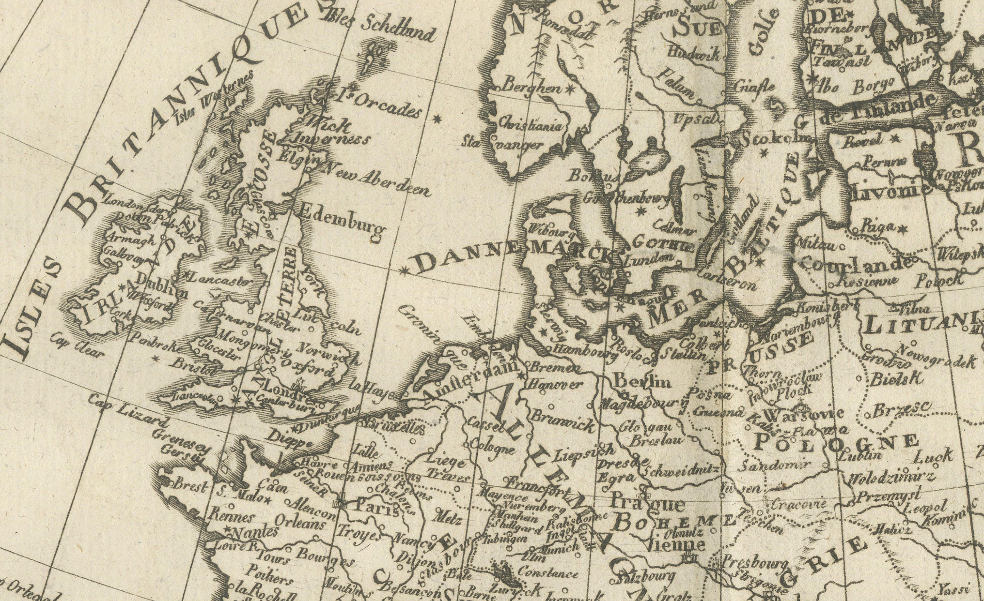
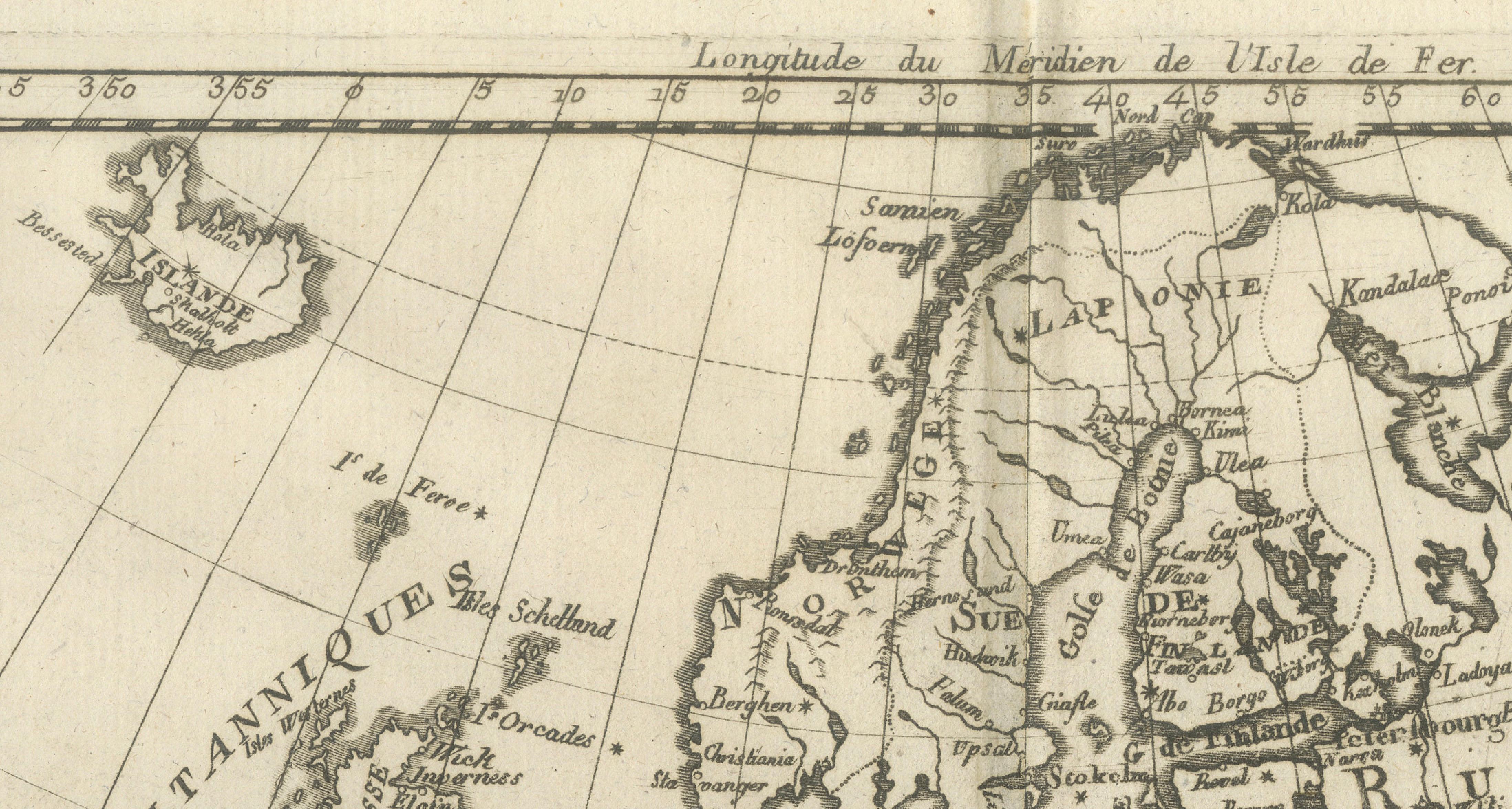
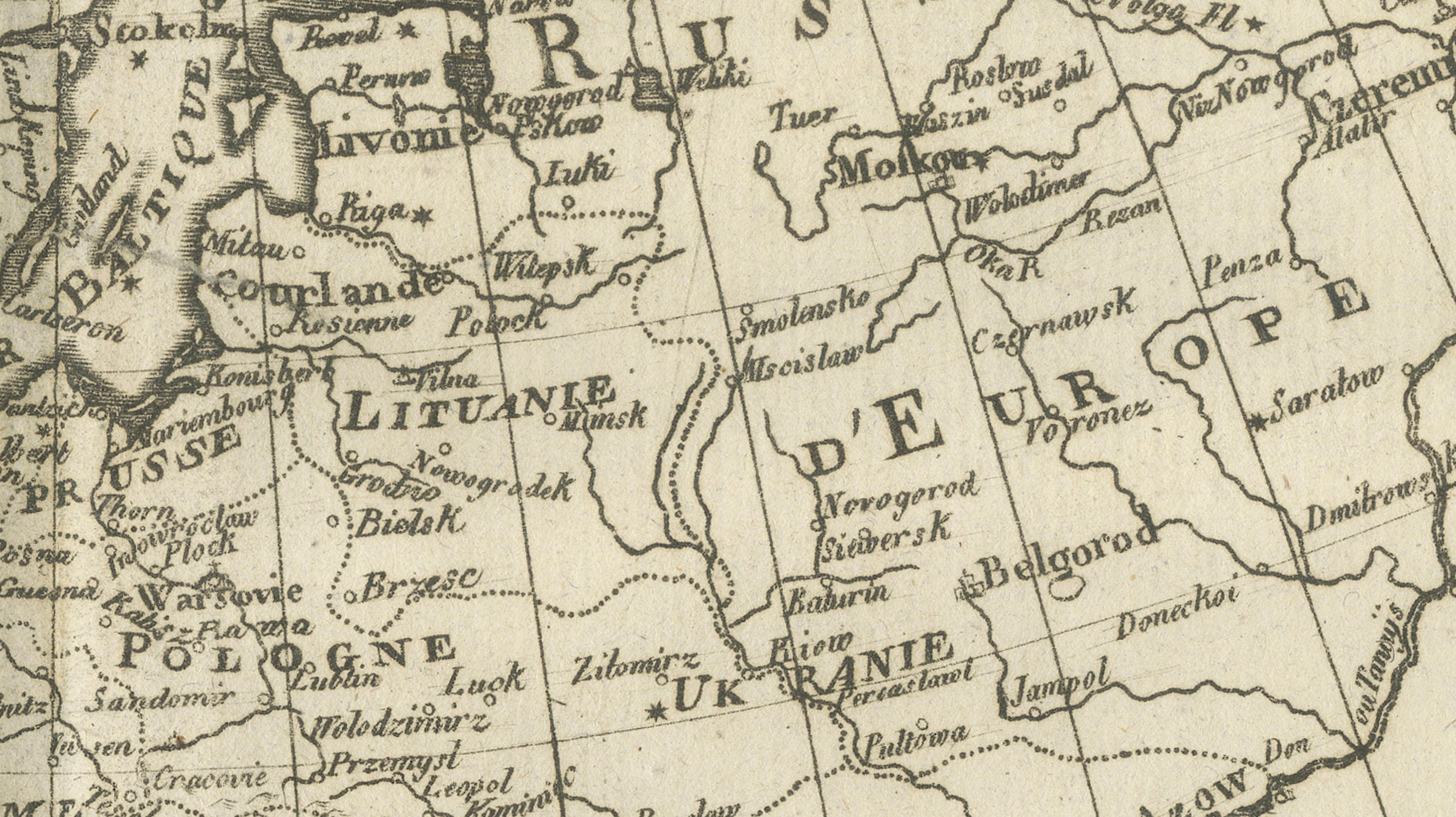
DESCRIPTION This detailed map of Europe illustrates political and geographic divisions prior to the Napoleonic era. Compiled by Rigobert Bonne, it presents cities, rivers, mountain systems, and regional boundaries with clarity and balance. France, Italy, the German states, and Eastern Europe are carefully delineated, while Scandinavia and Russia reflect expanding cartographic confidence. Longitude measured from Paris places the map firmly within French scientific tradition. Intended for reference and instruction, the sheet captures Europe at a moment of political complexity and cultural exchange. Its dense engraving and sober presentation make it both historically informative and visually compelling.
KEYWORDS Europe map, Paris meridian, London Paris Rome Vienna, Rhine Danube Alps, Grand Tour geography, pre-Napoleonic Europe
CONDITION REPORT Light age toning. Central fold. Minor edge wear and small stains visible on close inspection.
FRAMING TIPS Neutral mat and classic gilt or dark wood frame to balance dense engraved detail.
Technique: Engraving Maker: Rigobert Bonne, France, circa 1780