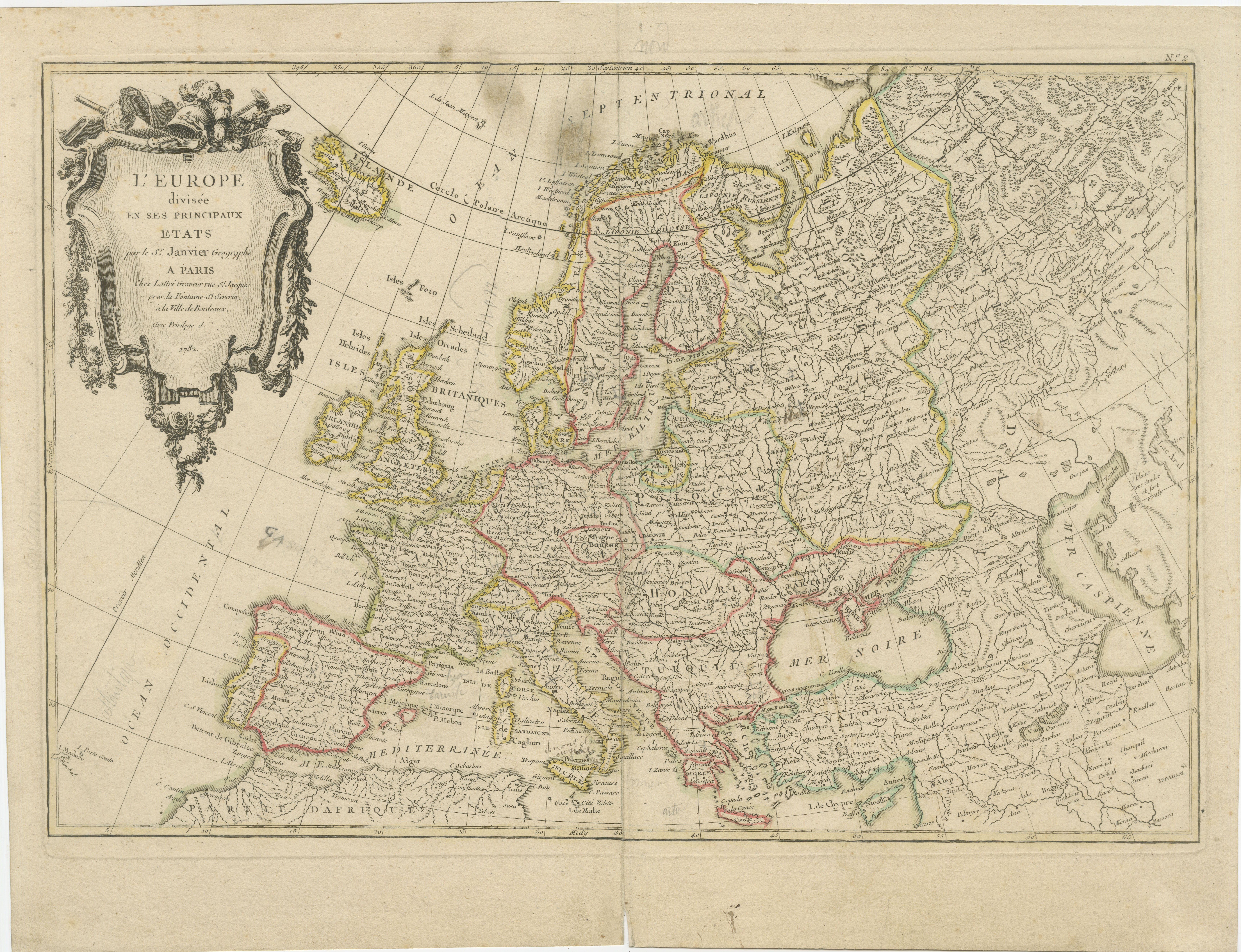
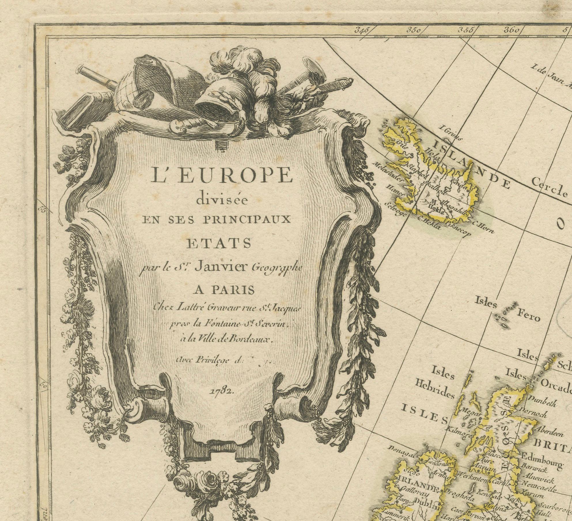
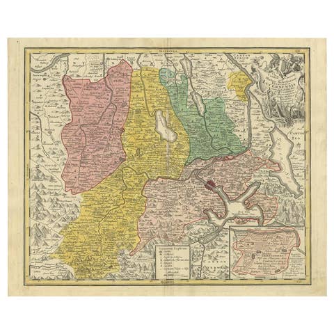
Europe Divided into Principal States by Jean Denis Janvier, Paris, 1782
€ 190
Original antique · The actual sheet photographed · Certificate of authenticity on request · Sold unframed · Worldwide shipping from € 15 (rates)
Date
1782
Sheet size
38 × 48.5 cm (15.0 × 19.1 in)
Condition
Fair
Reference
BG-13840-5
What the condition grades mean
Excellent
Bright and clean, with no faults worth mentioning.
Very good
Only light signs of age, such as faint toning.
Good
Normal signs of age for a sheet of this period: toning, some foxing, small marks or neat old repairs.
Fair
Clear faults such as staining, tears or repairs, priced to match.
Every fault we see is written in the condition note, and the whole sheet is shown uncropped in the photos.
Condition
The map is in fair to good condition with slight toning consistent with its age. Some minor foxing, particularly in the margins. The hand coloring remains vivid and intact, and there is a faint vertical fold in the center. Some pencil marks present.
About this sheet
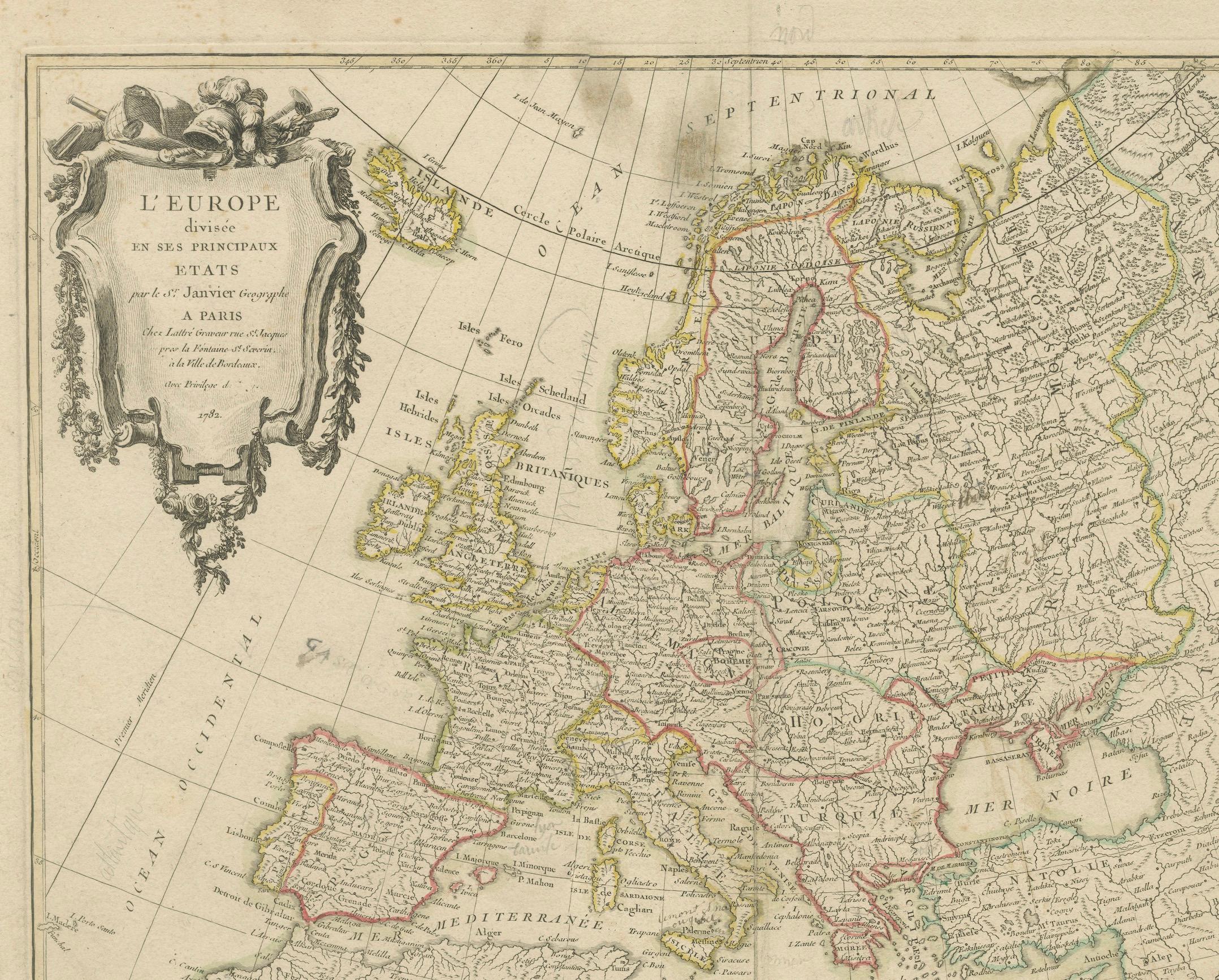
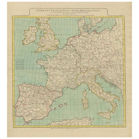
This is a historical map of Europe titled "L'Europe divisee en ses Principaux Etats," created by Jean Denis Janvier in 1782.
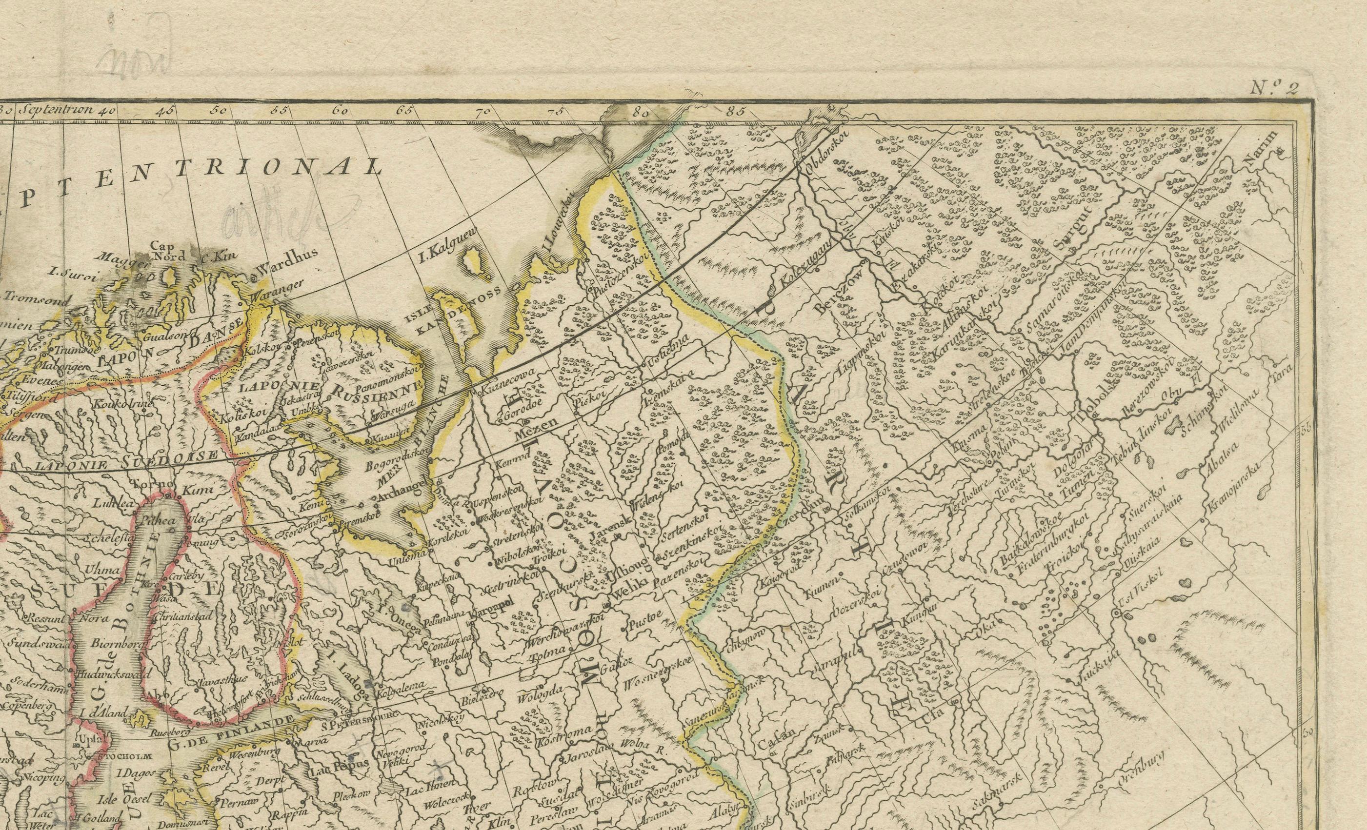
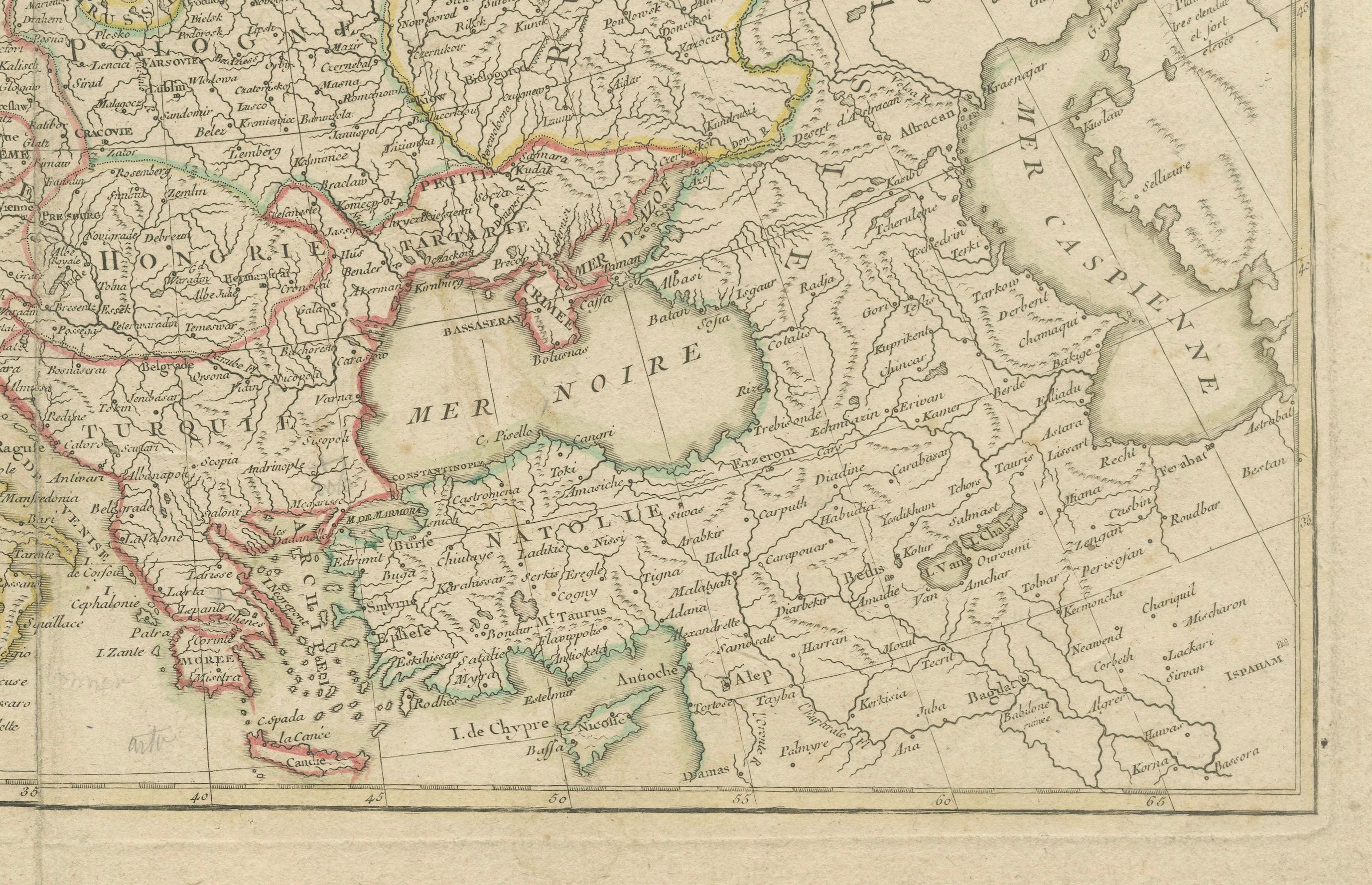
This beautiful map depicts the political boundaries and principal states of Europe during the turbulent period between the Seven Years War (1756–1763) and the Napoleonic Wars (1803–1815). It provides a glimpse into the geopolitical landscape of the continent at a time marked by shifting alliances and emerging conflicts.
The map is highlighted with original hand-coloring, making it a visually attractive representation of the various European states of that time. The decorative cartouche is a hallmark of 18th-century cartographic style, adding an elegant artistic element to the historical value of the map.
Published by Jean Lattré, an important Parisian bookseller and engraver active in the 18th century, this map is a testament to the intricate collaboration among notable French and European cartographers. Lattré worked closely with other influential figures, including Bonne, Delamarche, and William Faden. He was known for defending his work against plagiarism, a widespread issue during the period. This map is not only a valuable artifact for its depiction of Europe, but also a product of Lattré’s dedicated effort to maintain authenticity and originality in cartography.