About this sheet
Ancient Sarmatia & Eastern Europe Map — Classical Geography, Wilkinson 1801
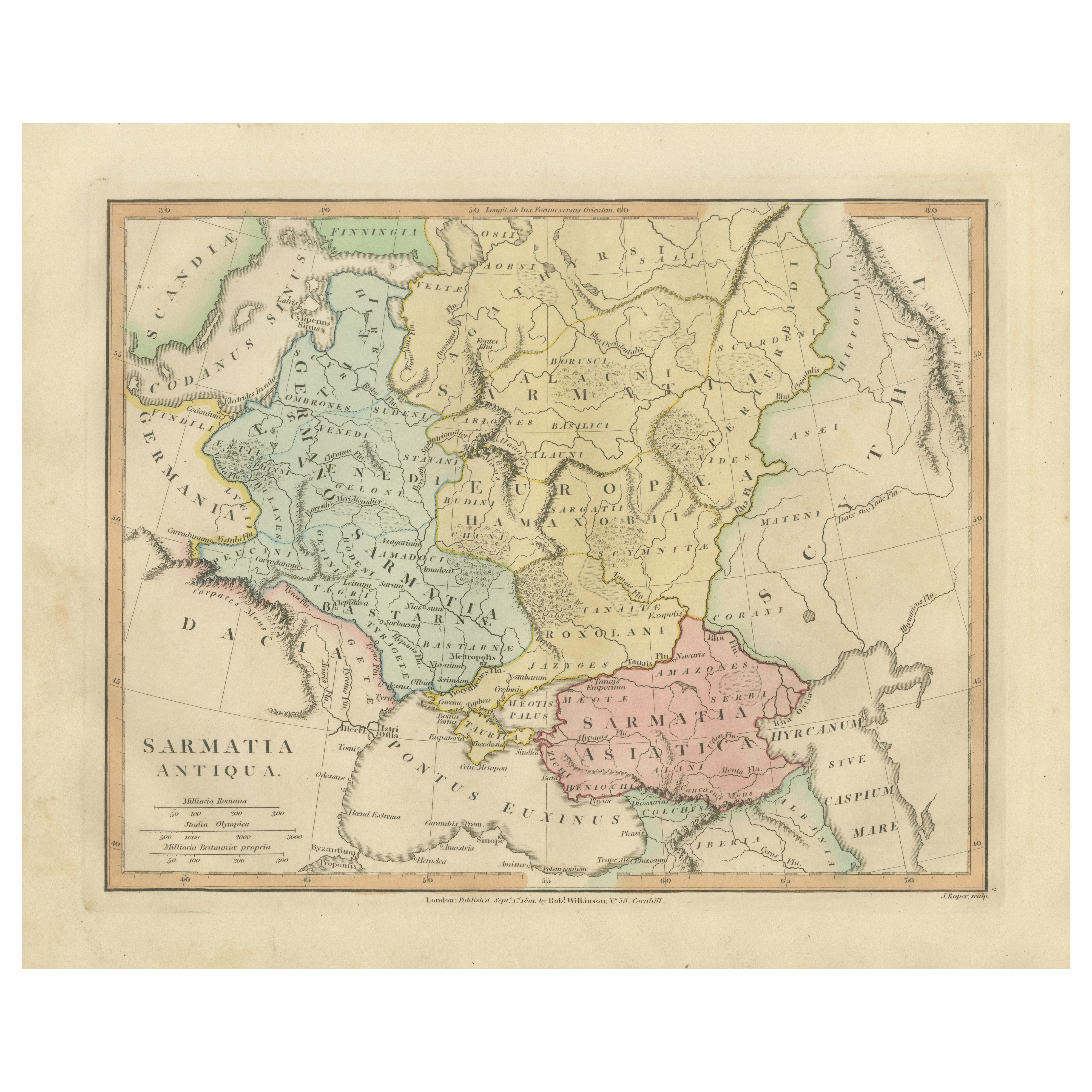
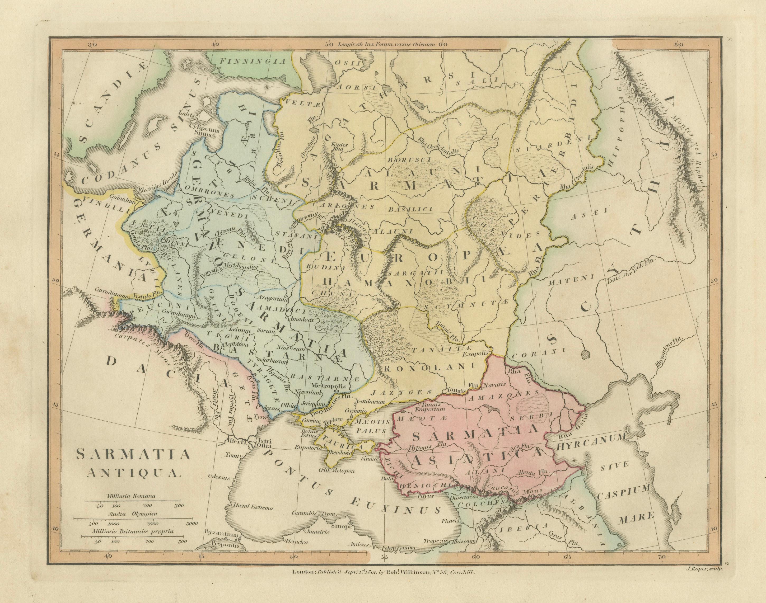
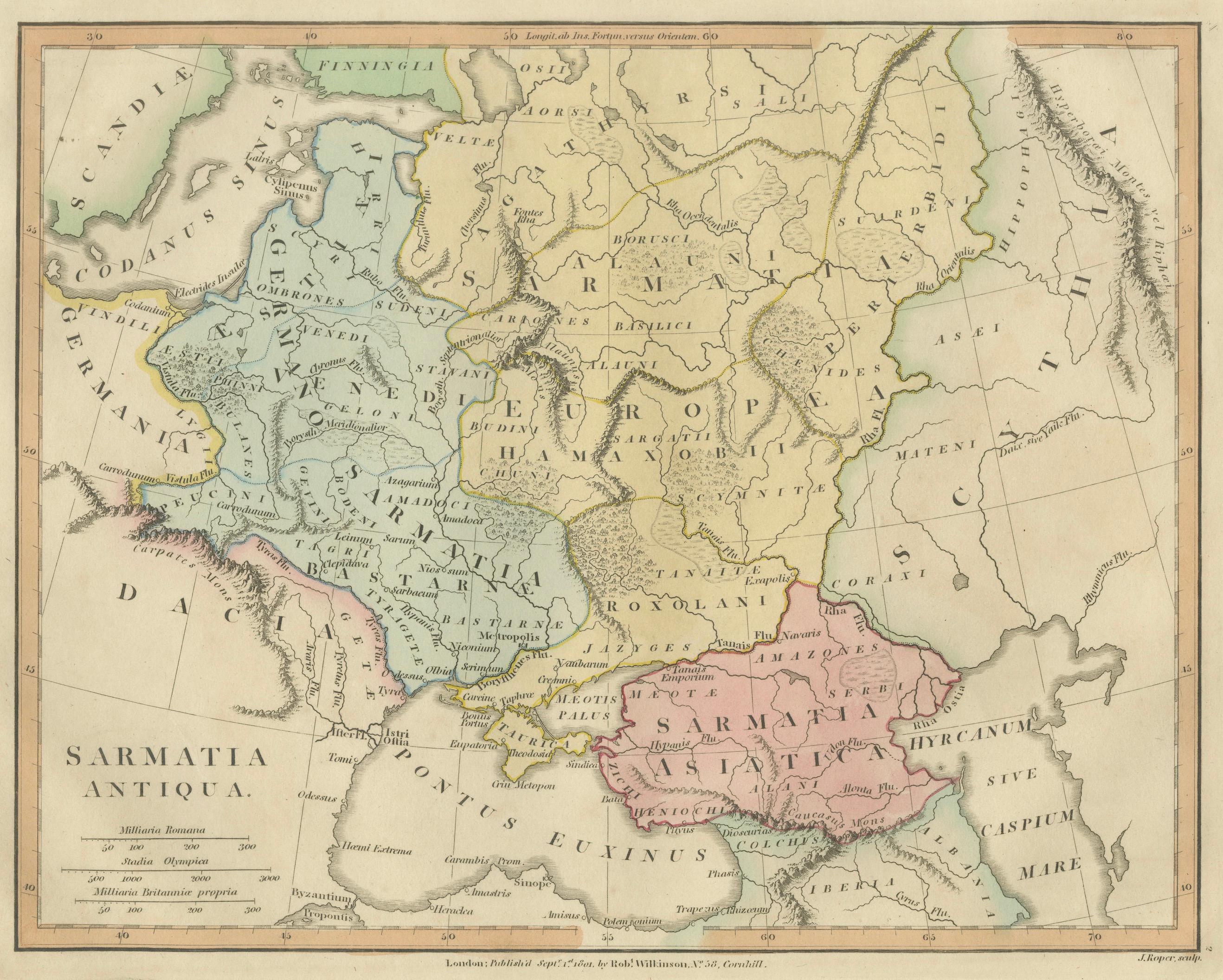
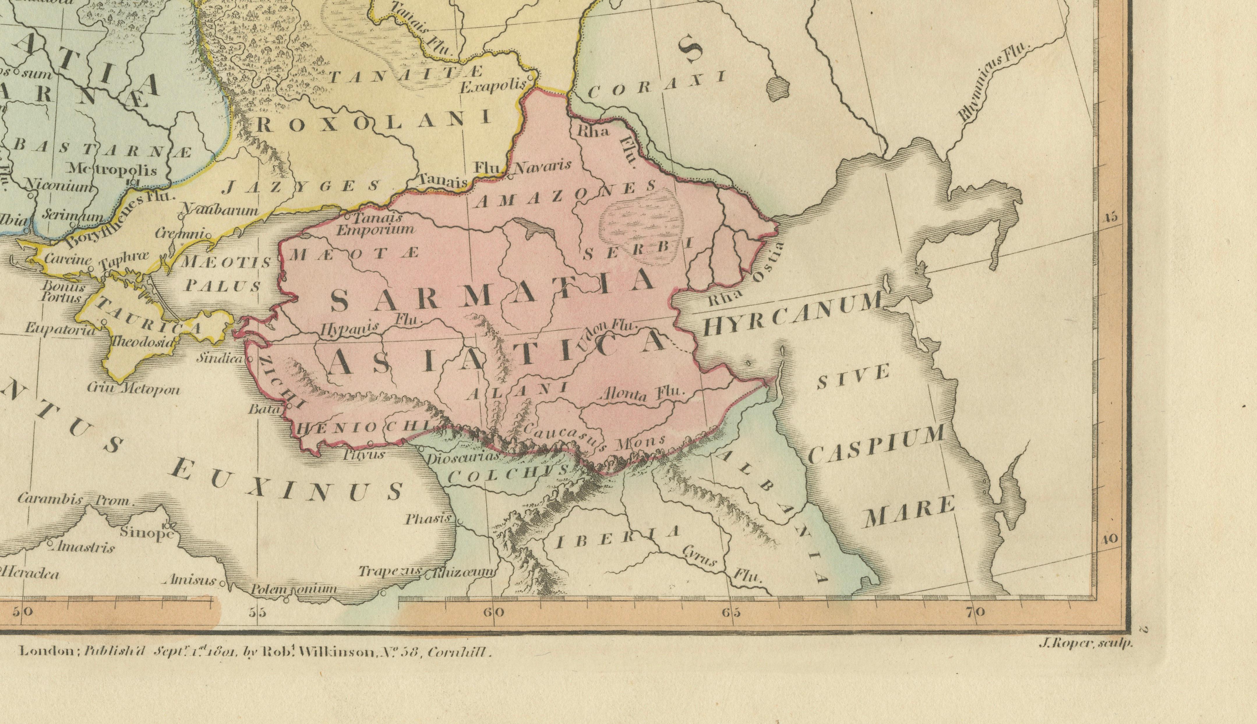
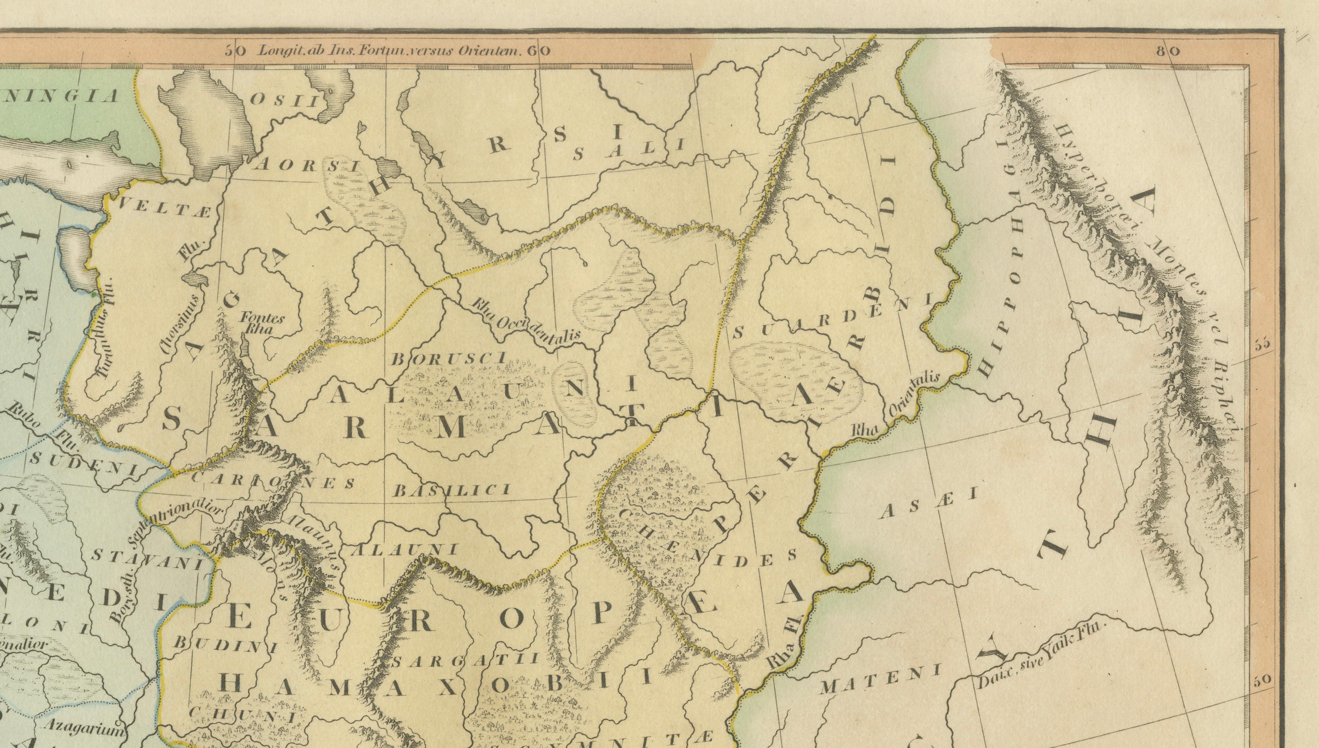
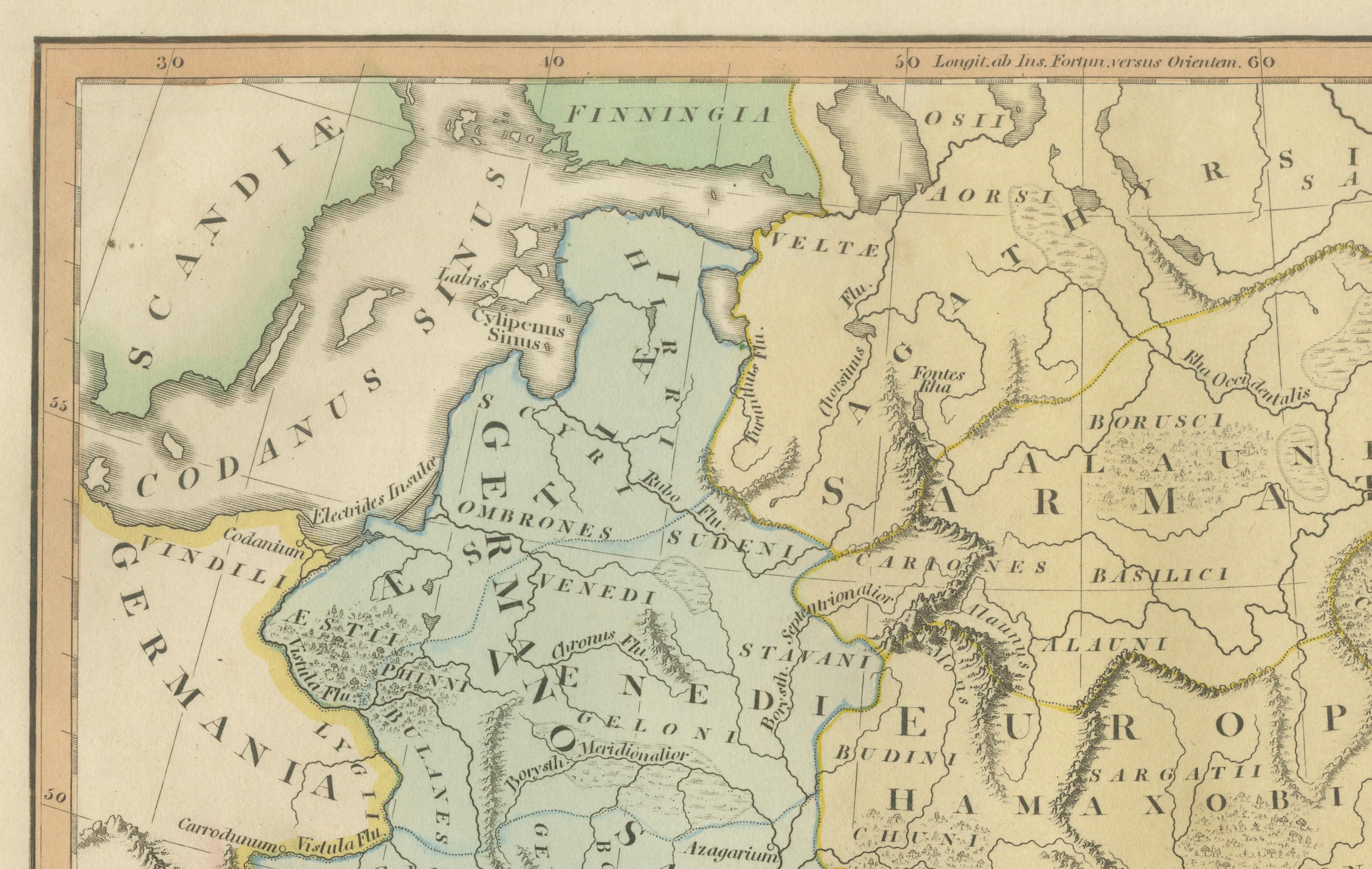
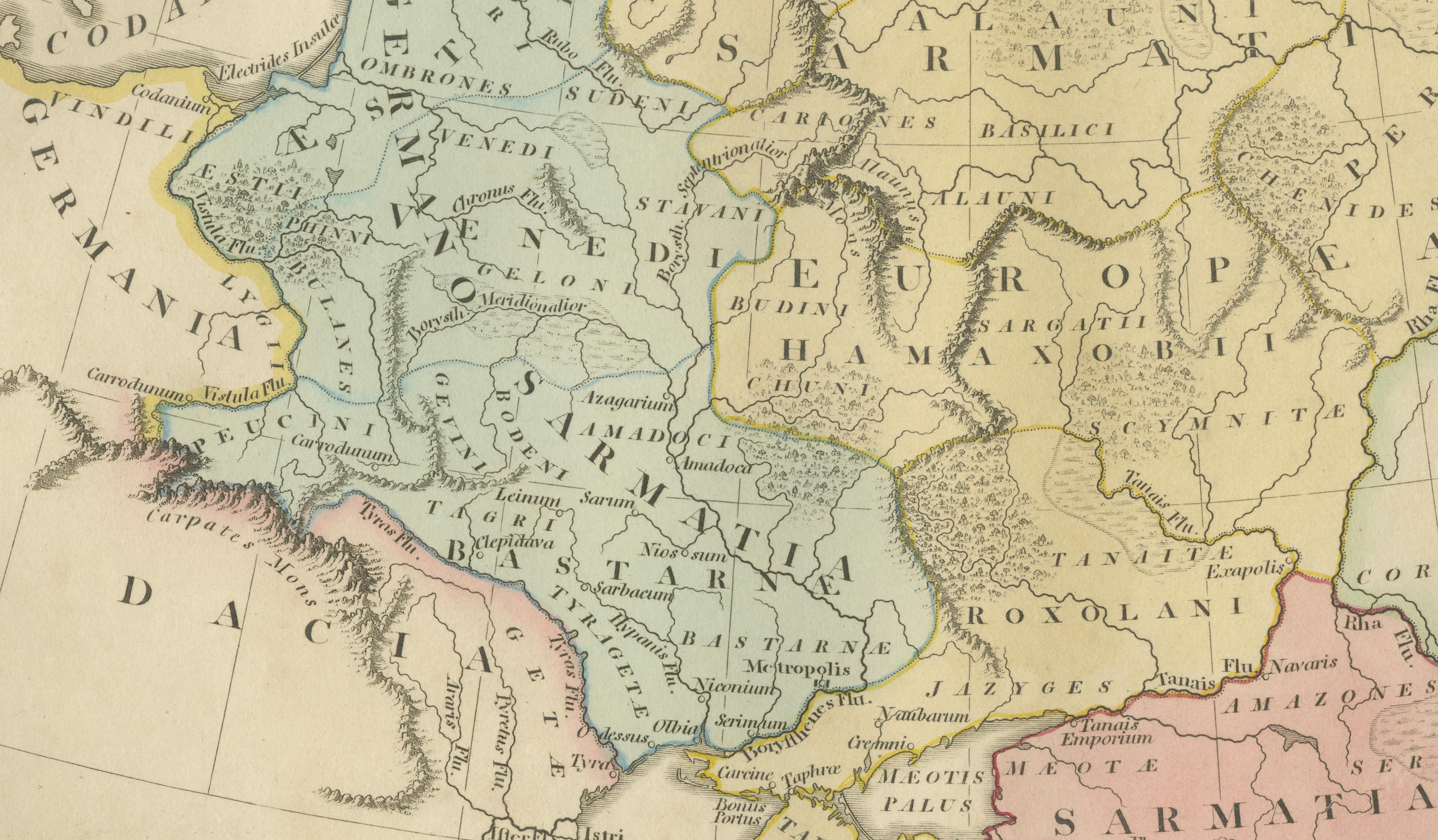
This elegant hand-colored antique map titled Sarmatia Antiqua presents the vast regions of Eastern Europe and western Asia according to classical geographical understanding. Published in London in 1801 by Robert Wilkinson, the map forms part of his influential historical atlas series reconstructing the ancient world through Greek and Roman sources.
The map depicts the territories north of the Black Sea and extending toward the Caspian region, encompassing areas historically associated with Sarmatian tribes and neighboring peoples described by classical authors such as Ptolemy and Strabo. Regions including Germania, Dacia, Scythia, Sarmatia Asiatica, and Roxolani territories are carefully delineated, reflecting early nineteenth-century scholarly attempts to reconcile ancient texts with modern geography.
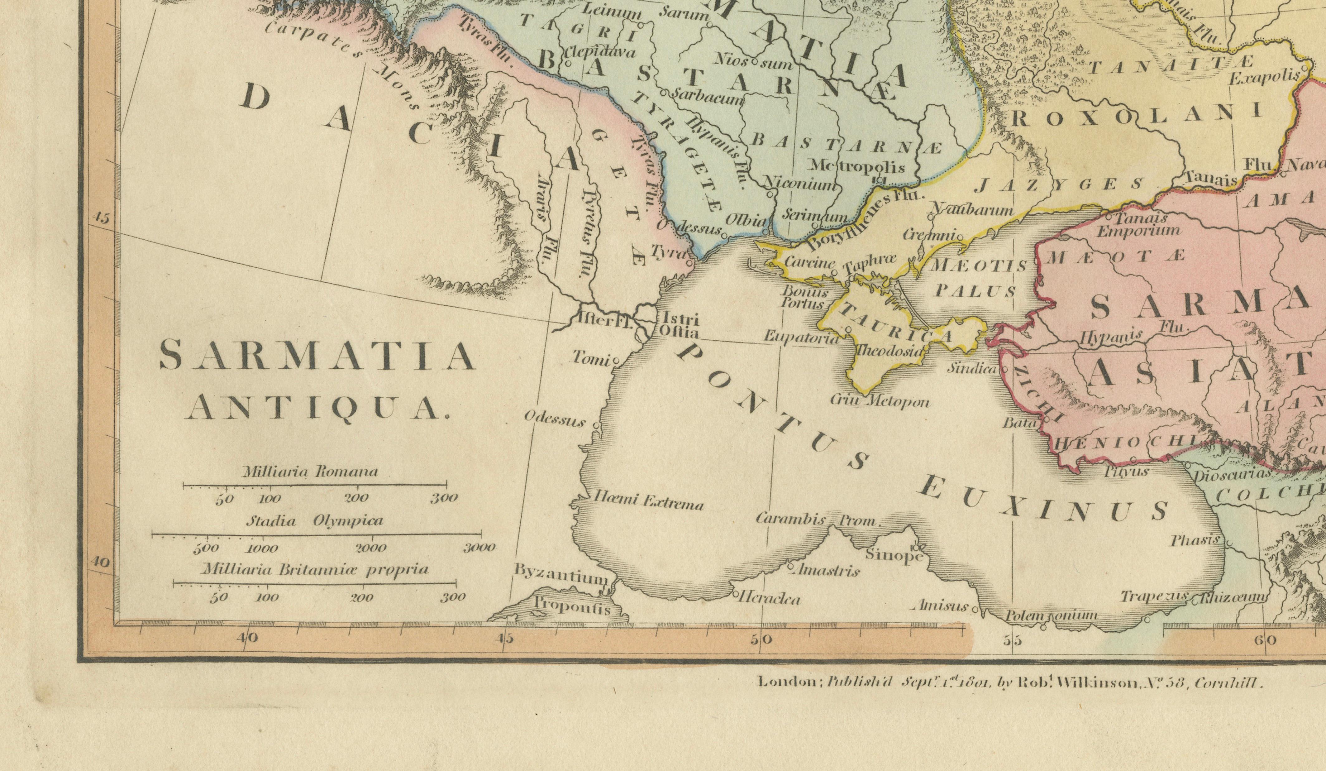
Soft original hand coloring distinguishes tribal and regional divisions, creating a visually balanced composition while aiding geographical clarity. Mountain ranges, rivers, and coastlines — including the Pontus Euxinus (Black Sea) and Mare Caspium — are finely engraved with delicate linework characteristic of Wilkinson’s London workshop. The restrained palette of pastel tones enhances the decorative appeal, giving the map both academic authority and strong interior-design presence.
Produced during a period of renewed European fascination with antiquity and classical ethnography, Wilkinson’s historical maps were intended to visualize the ancient world for students, collectors, and cultivated audiences. Today they are appreciated not only as scholarly reconstructions but also as refined decorative objects that combine Enlightenment cartography with timeless aesthetic harmony.
This example offers a compelling depiction of the ancient frontier between Europe and Asia — a subject of enduring historical and cultural interest — making it especially attractive for collectors of classical maps and early historical geography.
Condition: Good antique condition overall. Light age-related toning with scattered spotting and minor handling wear to the margins. Plate mark visible.
Framing tips: Particularly striking in a dark walnut or black frame with an ivory or warm cream mount. A generous mat enhances the subtle hand coloring and emphasizes the expansive geographical composition.
Technique: Copperplate engraving with original hand color
Maker: Robert Wilkinson, London, 1801
Keywords:
Sarmatia Antiqua, Sarmatia Asiatica, Scythia, Germania Antiqua, Dacia, Roxolani, Alani, Borysthenes, Pontus Euxinus, Black Sea, Mare Caspium, Caspian Sea, Caucasus, Hyrcanum Mare, ancient Eastern Europe map, classical geography map, Roman ethnography, ancient tribes Europe, Wilkinson Atlas 1808, historical Eastern Europe cartography, antique classical map