Maps & PrintsBartele Gallery · Langweer
Home / Antique Maps / Europe / Europe as a Whole

Europe as a Whole · 19th century

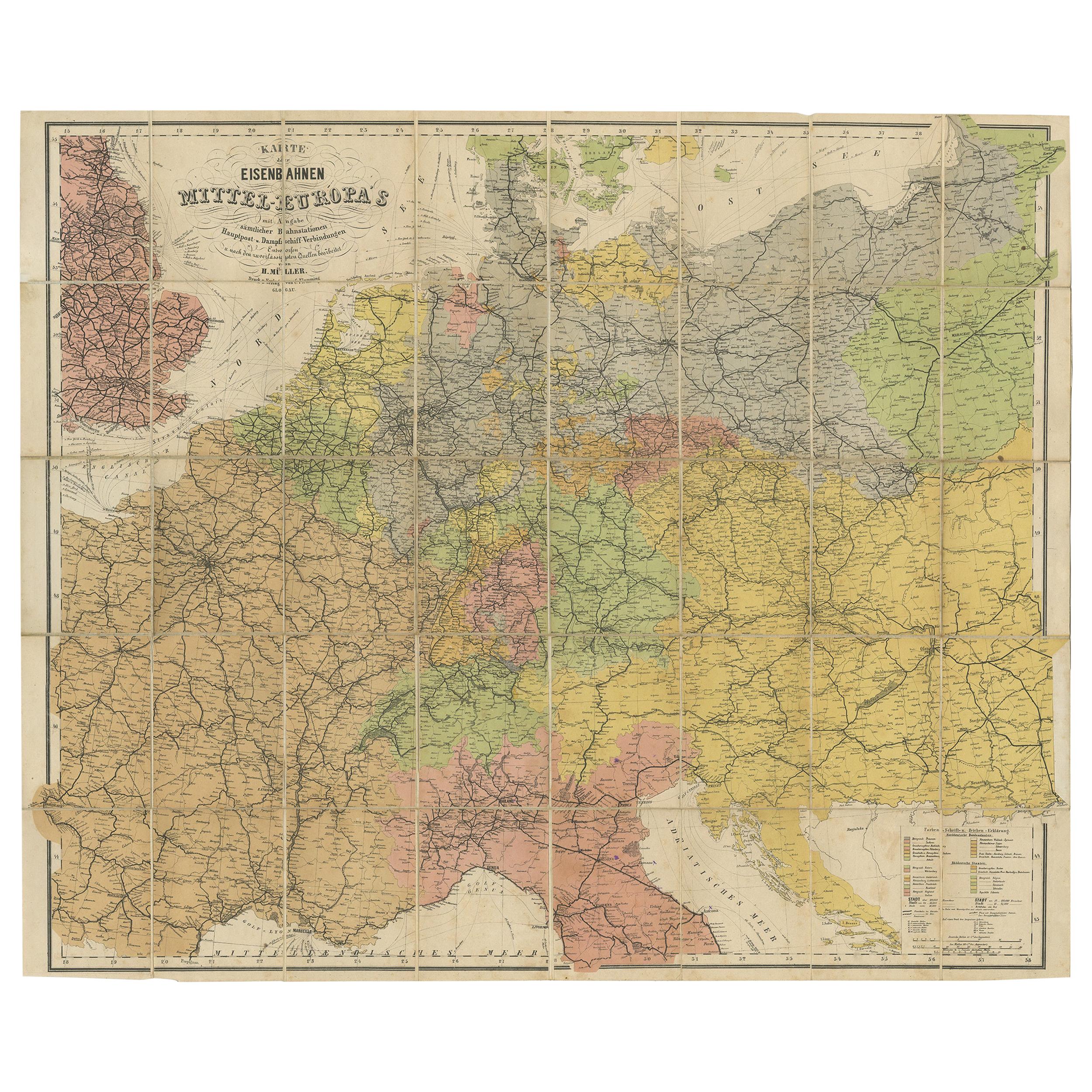
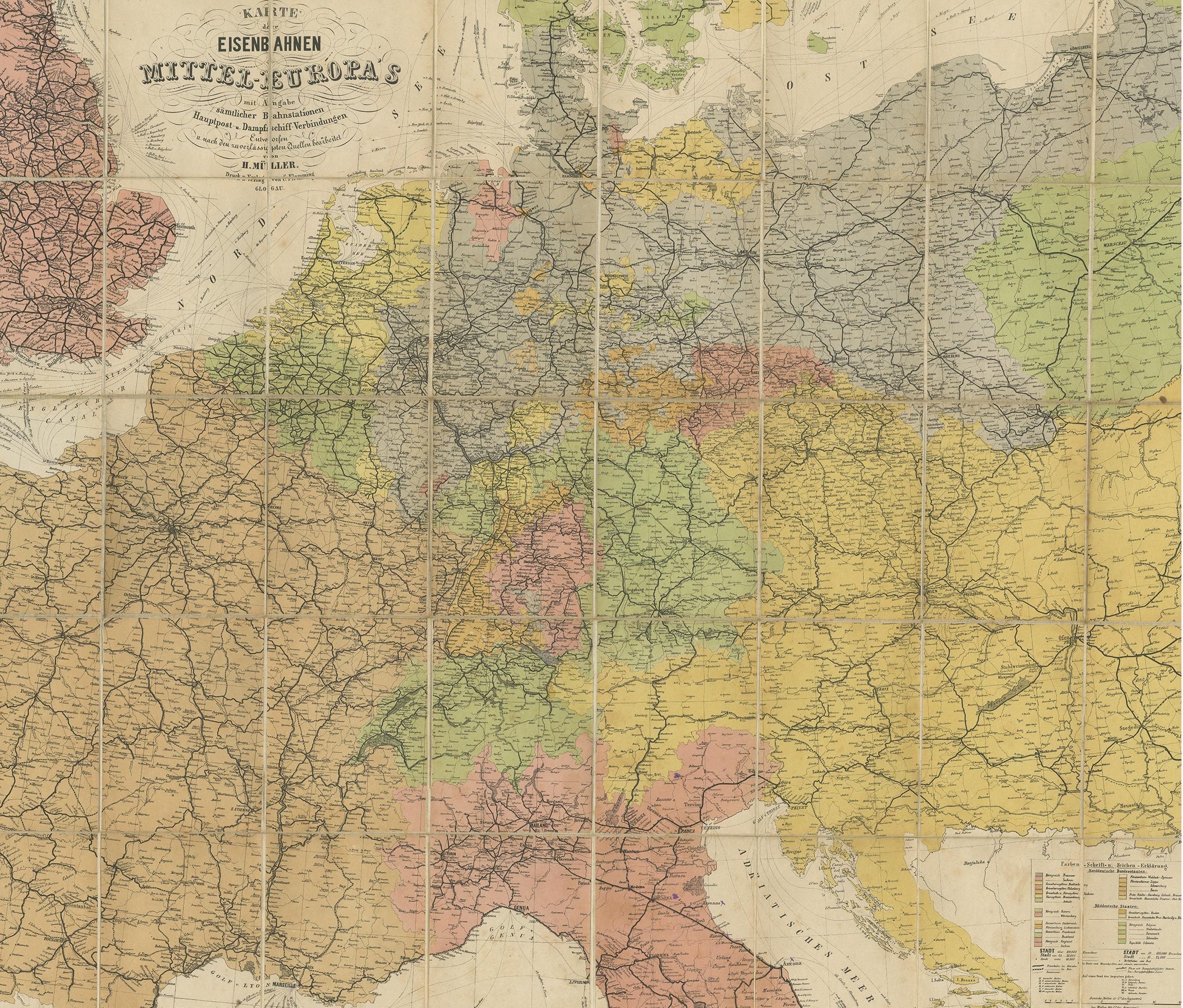
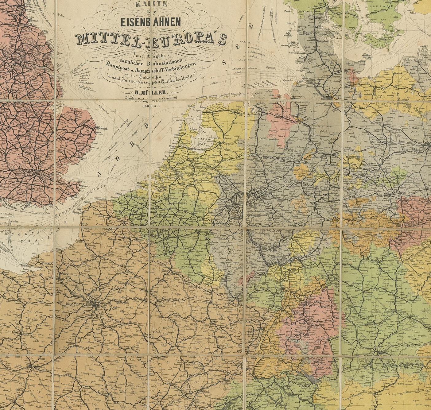
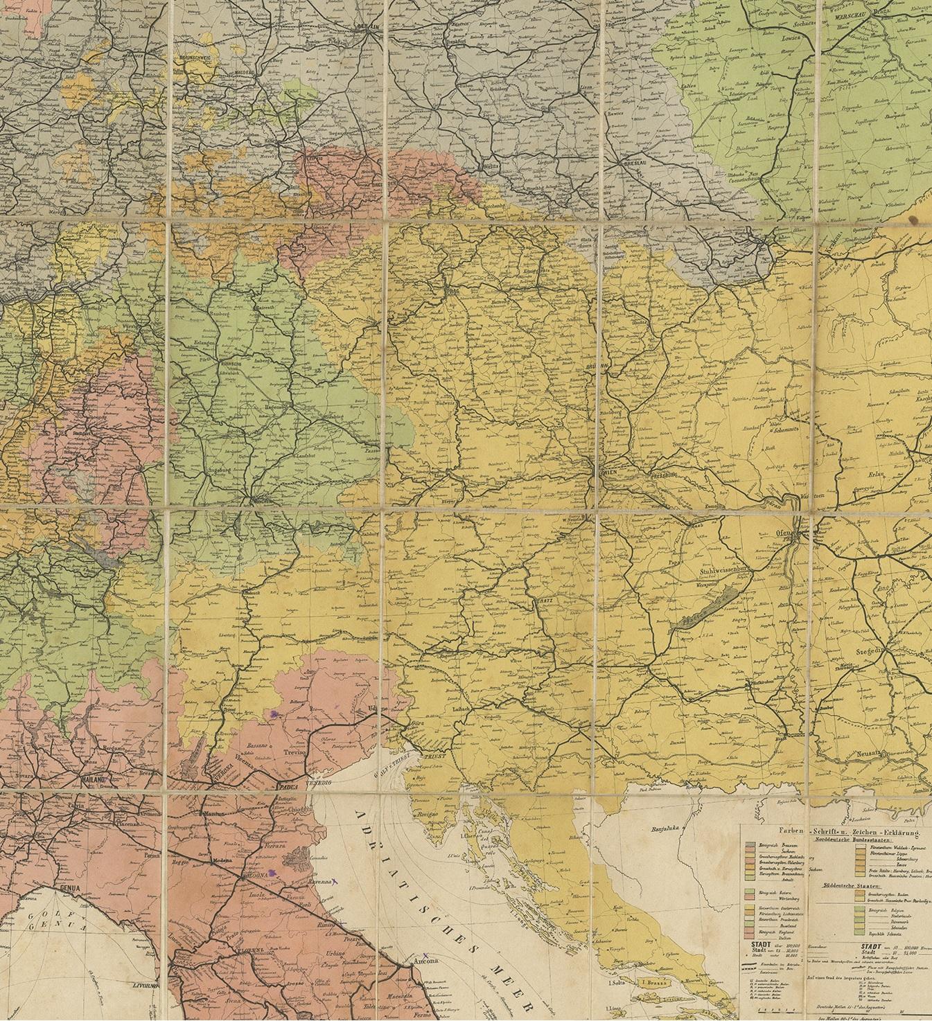
Antique Railway Folding Map of Central Europe by Müller, 1870

€ 750

One of a kind: this is the sheet in the photographs. Ships from Langweer, the Netherlands.

Date
1870
Sheet size
49 × 98.5 cm (19.3 × 38.8 in)
Condition
Fair
Reference
BG-07423

Condition

With original cover, sl. rubbed. Map backed with linen. General age-related toning. Minor wear and small defects. Please study images carefully.

About this sheet

Antique map titled 'Karte der Eisenbahnen Mittel-Europa's (..)'. Railway folding map of Central Europe. Published by Carl Flemming, 1870.

More from Europe as a Whole

Ask about this sheet

Antique Railway Folding Map of Central Europe by Müller, 1870
1870 · Ref. BG-07423 · € 750
We reply by email, usually within one working day.