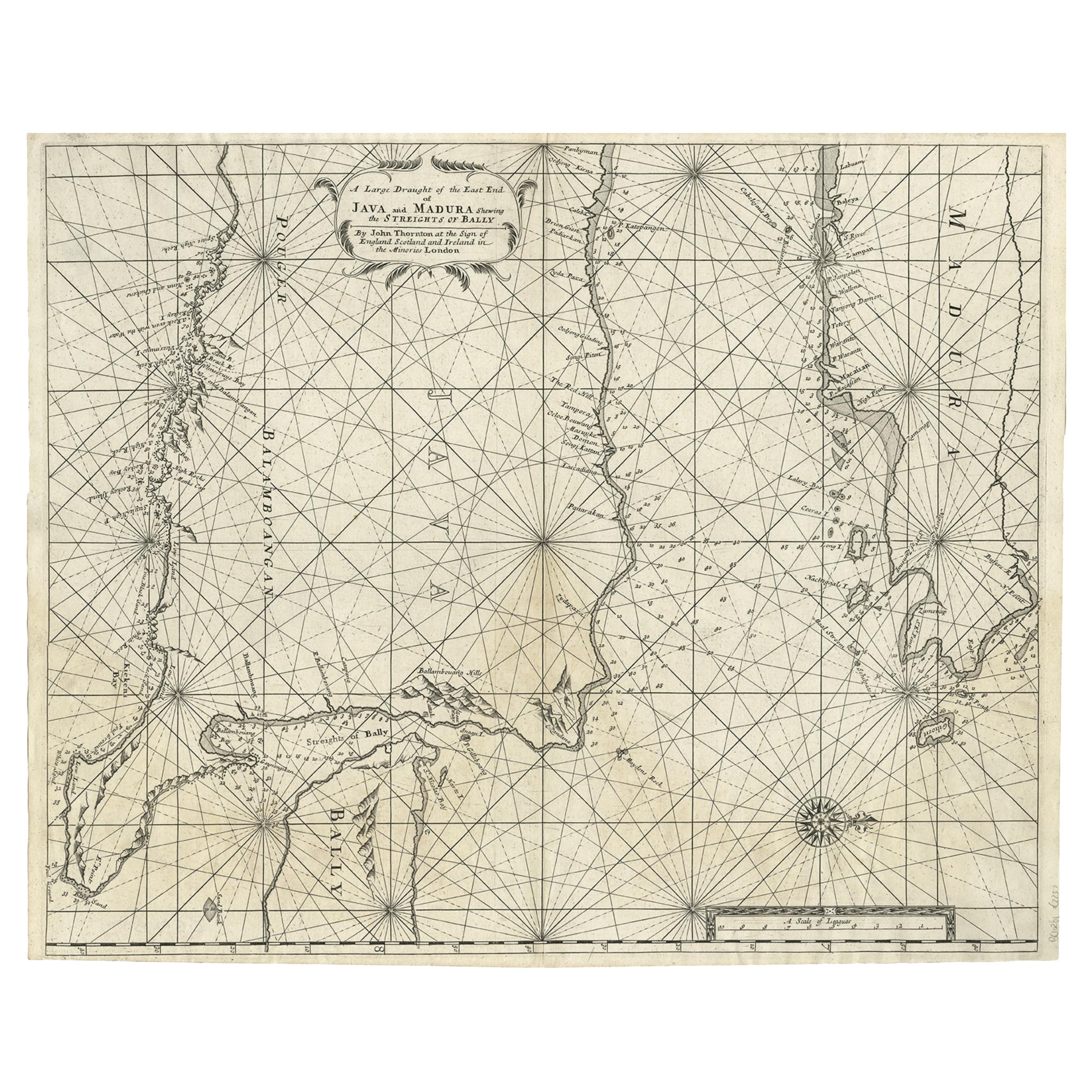
Rare Old English Sea Chart of Part of Indonesia with Java, Madura and Bali, 1711
€ 1 650
Original antique · The actual sheet photographed · Certificate of authenticity on request · Sold unframed · Worldwide shipping from € 15 (rates)
Date
1711
Sheet size
45 × 55.3 cm (17.7 × 21.8 in)
Condition
Good
Reference
PC-58065
What the condition grades mean
Excellent
Bright and clean, with no faults worth mentioning.
Very good
Only light signs of age, such as faint toning.
Good
Normal signs of age for a sheet of this period: toning, some foxing, small marks or neat old repairs.
Fair
Clear faults such as staining, tears or repairs, priced to match.
Every fault we see is written in the condition note, and the whole sheet is shown uncropped in the photos.
Condition
Top edge irregular as issued. Paper with some discoloration at places. A tiny double worm holes left and right of the lower edge of the middle fold, just inside the image area. Original folds as issued. General age-related toning.
About this sheet
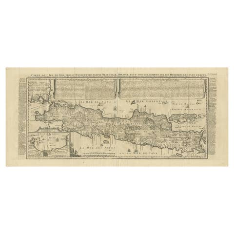
Antique map titled 'A Large Draught of the East End of Java and Madura shewing the Streights of Bally.'
Rare early example of this working English Sea Chart of part of Indonesia with Java, Madura, and the Straights of Bali, Indonesia. Source unknown, to be determined.
Artists and Engravers: Made by an anonymous engraver after 'Samuel Thornton'. In 1671, the London cartographer John Seller (fl.1664-97) commenced work on The English Pilot , a work that intended to challenge Dutch hegemony in the sea atlas market. Intended to be published in four books covering different regions of the globe, Seller published an uncompleted book on 'Oriental navigation' in 1675. Unable to continue this Herculean endeavor, Seller sold his rights to John Thornton, the official hydrographer to the English East India Company. Thornton took up the project with great fervour, publishing his first editions in 1689. Thornton did not publish his first edition of the Third Book, detailing navigation in the East Indies, until 1703. While Thornton largely based his charts on those of earlier Dutch cartographers, most notably those found in Pieter Goos' Zee-Spiegel and Lucas Janz Waghenaer's Mariner's Mirror, The English Pilot proved to be enormously popular. When John Thornton died in 1708, his brother Samuel took over the business and added to and modified existing charts. All four books were produced in editions until the 1760s. The Third Book ran into twelve editions up to 1761. The project succeeded in giving the English dominance in the sea chart market as the eighteenth-century progressed.