Maps & PrintsBartele Gallery · Langweer
Home / Antique Maps / Asia / South-East Asia / East Indies

East Indies · 18th century

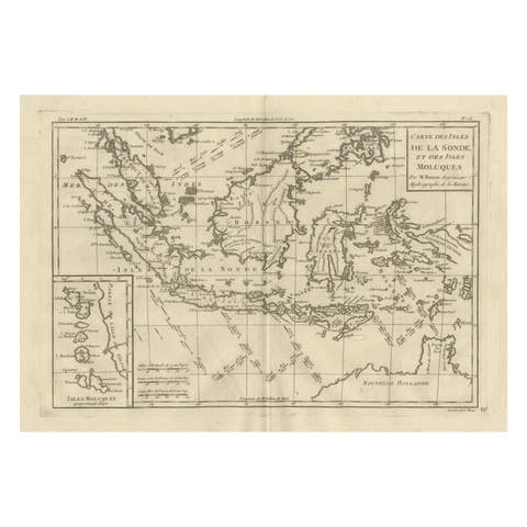
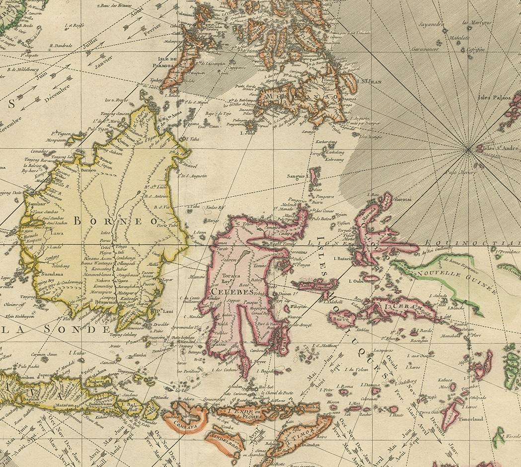
Antique Map of the East Indies by Bonne '1776'

€ 650

One of a kind: this is the sheet in the photographs. Ships from Langweer, the Netherlands.

Date
1776
Sheet size
54 × 37 cm (21.3 × 14.6 in)
Condition
Good
Reference
BG-12889

Condition

Great condition! General age-related toning, original folding line. Minor wear, blank verso. Please study images carefully.
About this sheet

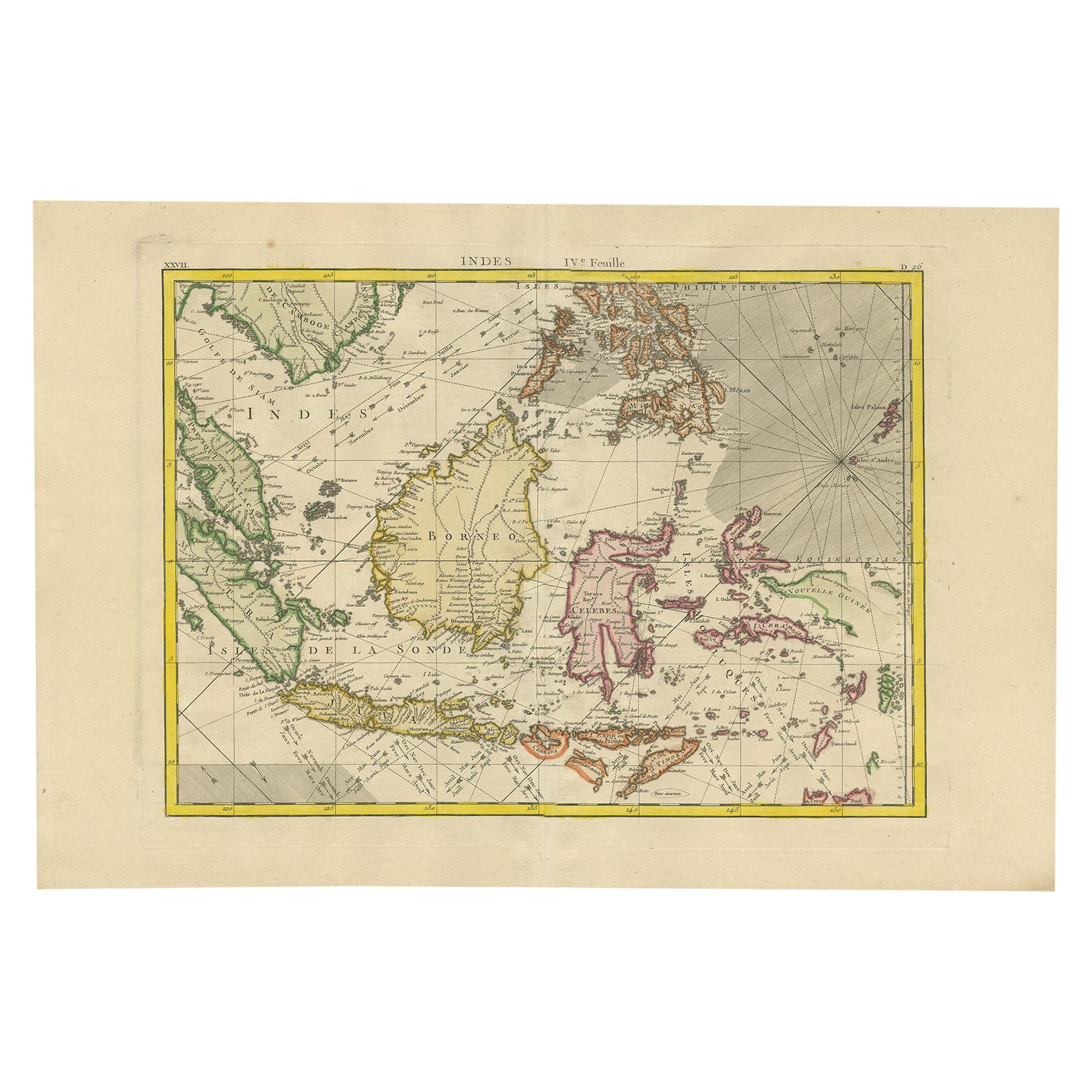
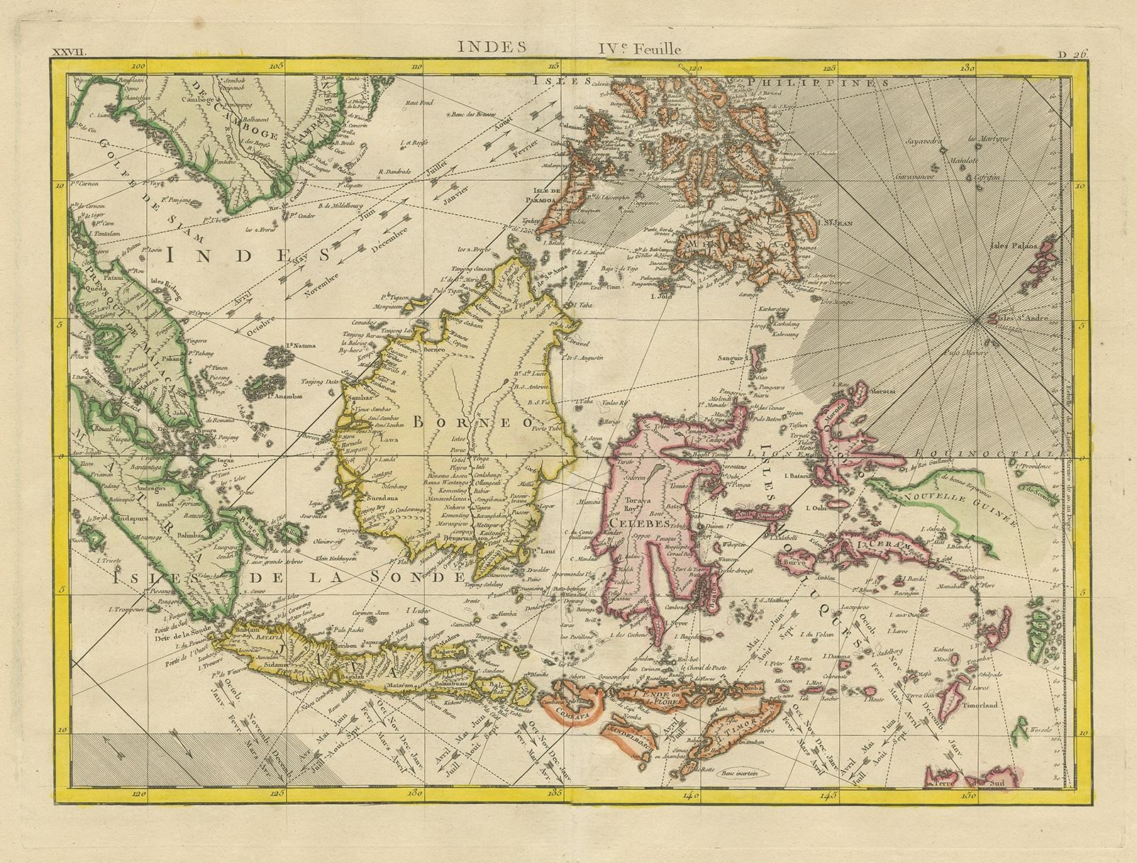
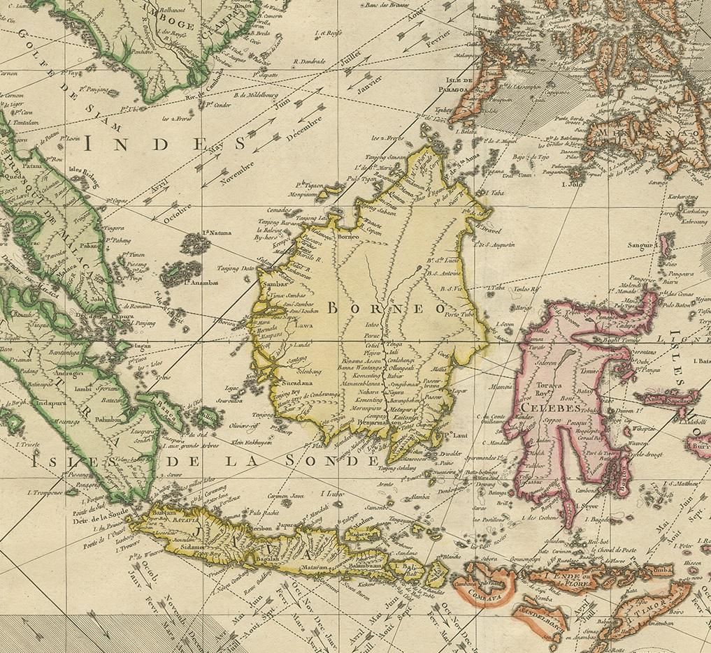
Antique map titled 'Indes IVe Feuille'. Very decorative original antique map of the East Indies. Covbers from the Gulf of Siam (Gulf of Thailand) and Malacca (Malaysia) eastward to include parts of Sumatra, Java, Borneo, Celebes, parts of Cambodia, the southern Philippine Islands and New Guinea. This map originates from 'Atlas Moderne' by Jean Lattre. Published 1776. Drawn by Rigobert Bonne, who was one of the most important French cartographers of the late 18th century.

More from East Indies

Ask about this sheet

Antique Map of the East Indies by Bonne '1776'
1776 · Ref. BG-12889 · € 650
We reply by email, usually within one working day.