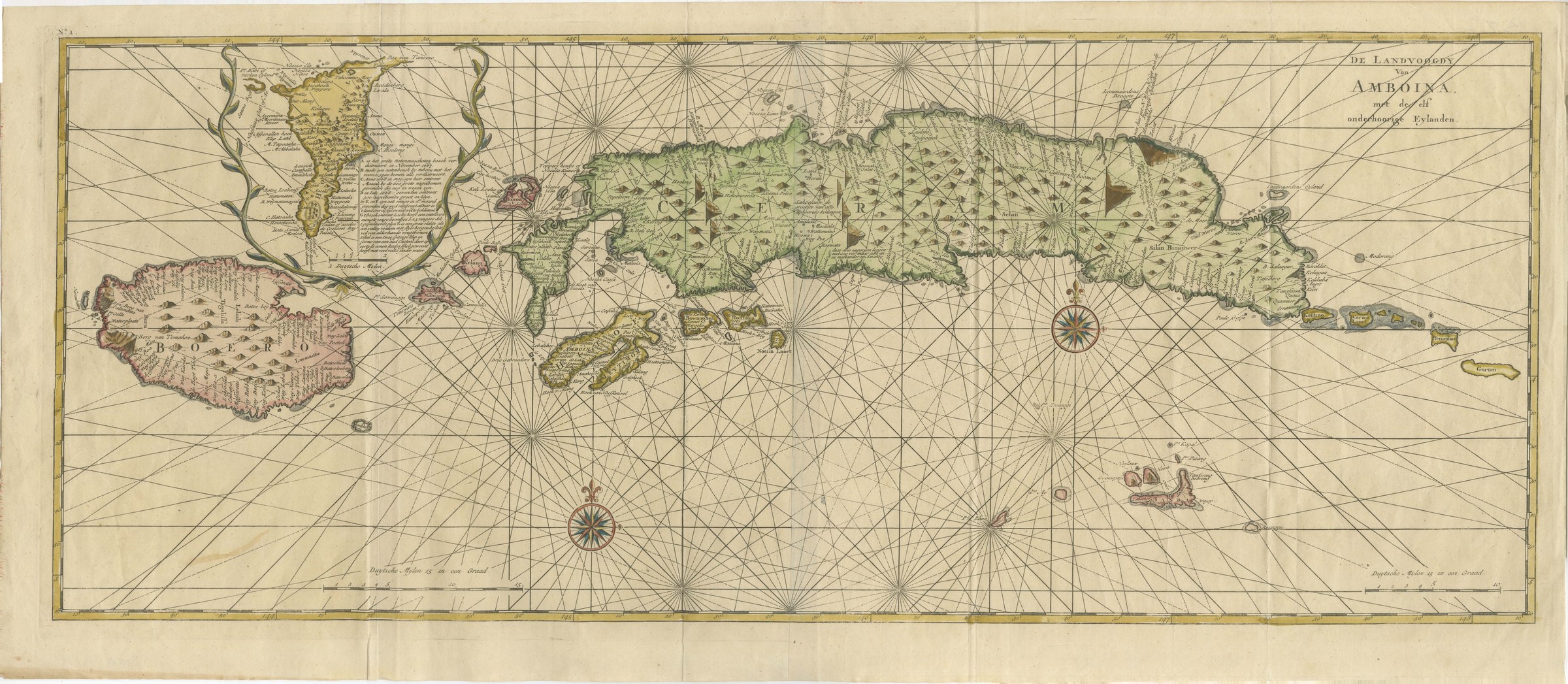
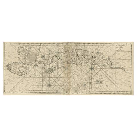
Amboina and Its Eleven Islands: Broad Valentijn Double-Page Chart, 1726
€ 740
Original antique · The actual sheet photographed · Certificate of authenticity on request · Sold unframed · Worldwide shipping from € 15 (rates)
Date
1724-1726
Mapmaker / artist
Francois Valentijn, engraved for Joannes van Braam and Gerard onder de Linden
Publisher
Joannes van Braam and Gerard onder de Linden, Dordrecht and Amsterdam
Technique
Copper Engraving
Coloring
Original hand color
Sheet size
34 × 78 cm (13.4 × 30.7 in)
Condition
Good
Reference
BG-14465
What the condition grades mean
Excellent
Bright and clean, with no faults worth mentioning.
Very good
Only light signs of age, such as faint toning.
Good
Normal signs of age for a sheet of this period: toning, some foxing, small marks or neat old repairs.
Fair
Clear faults such as staining, tears or repairs, priced to match.
Every fault we see is written in the condition note, and the whole sheet is shown uncropped in the photos.
Condition
Slight wear at the bottom left, top left and top right corners. Minor edge wear, shallow nicks along the bottom, left, right and top.
About this sheet
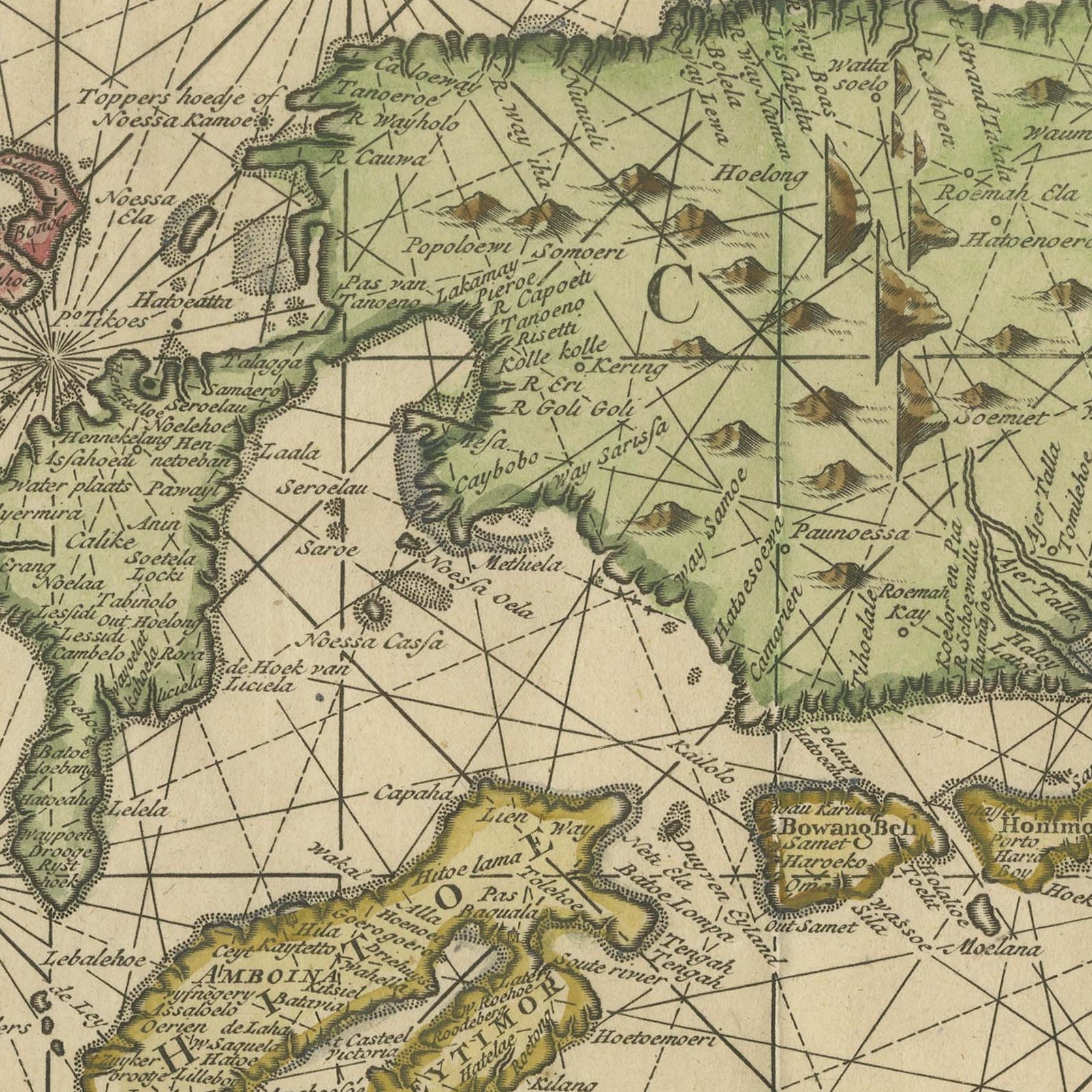
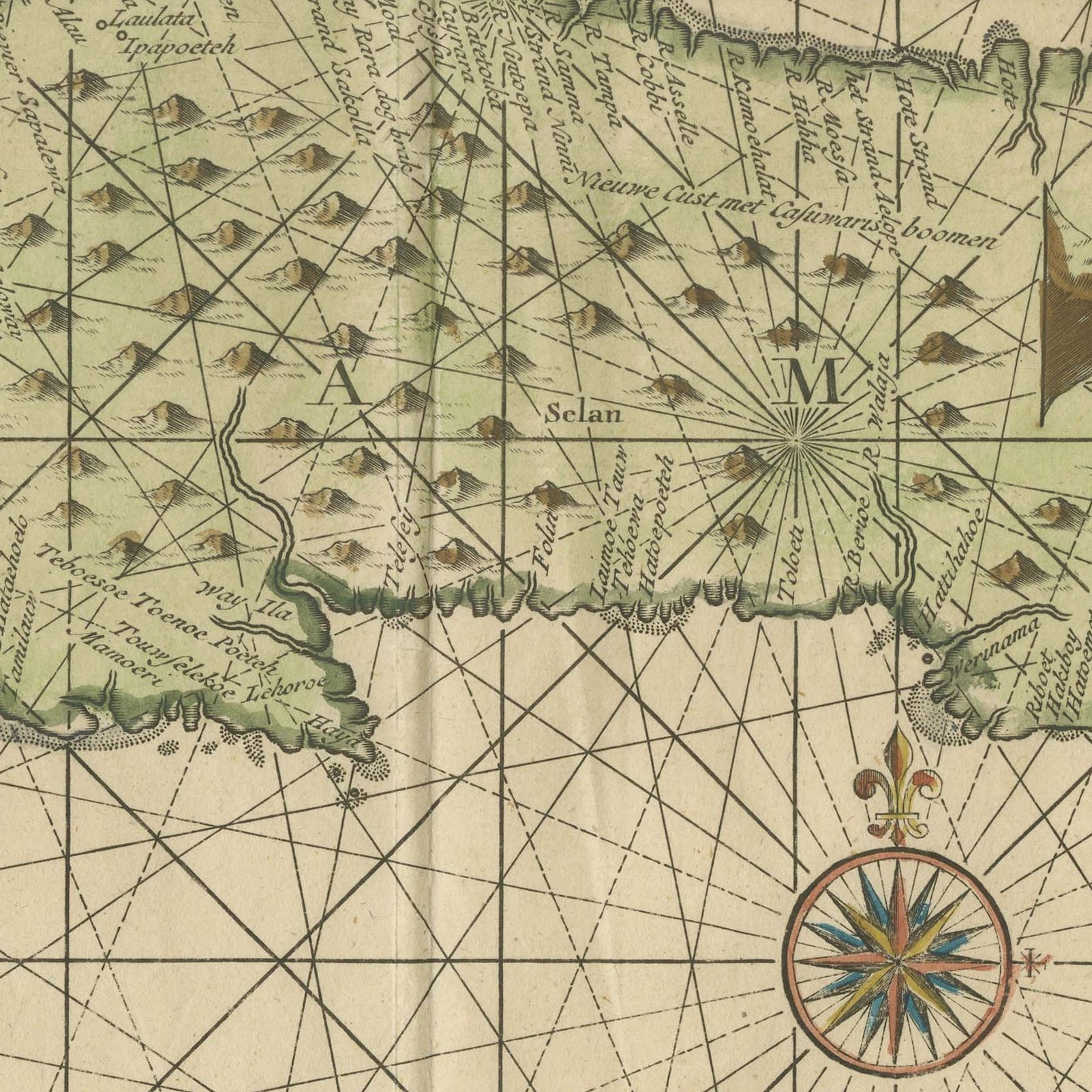
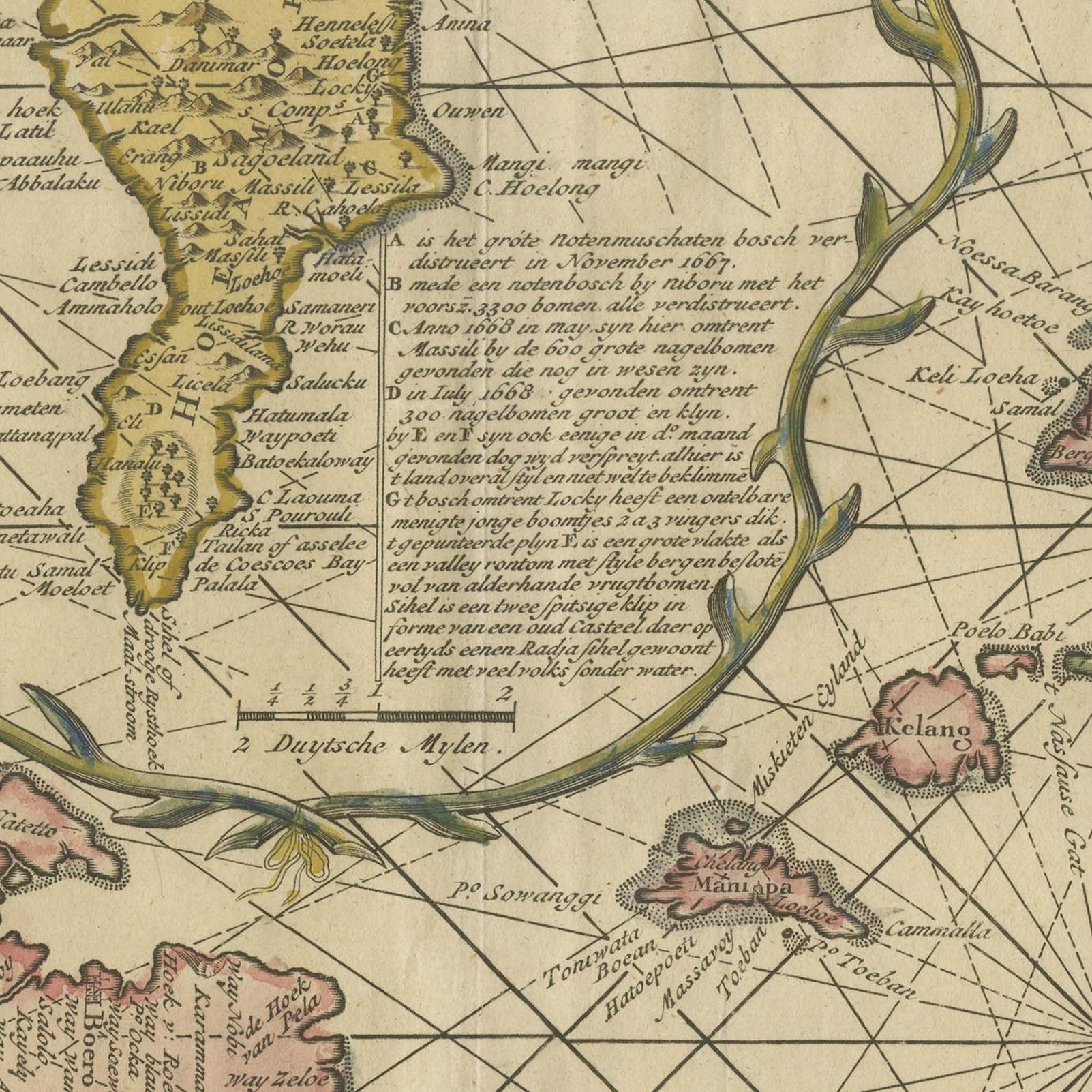
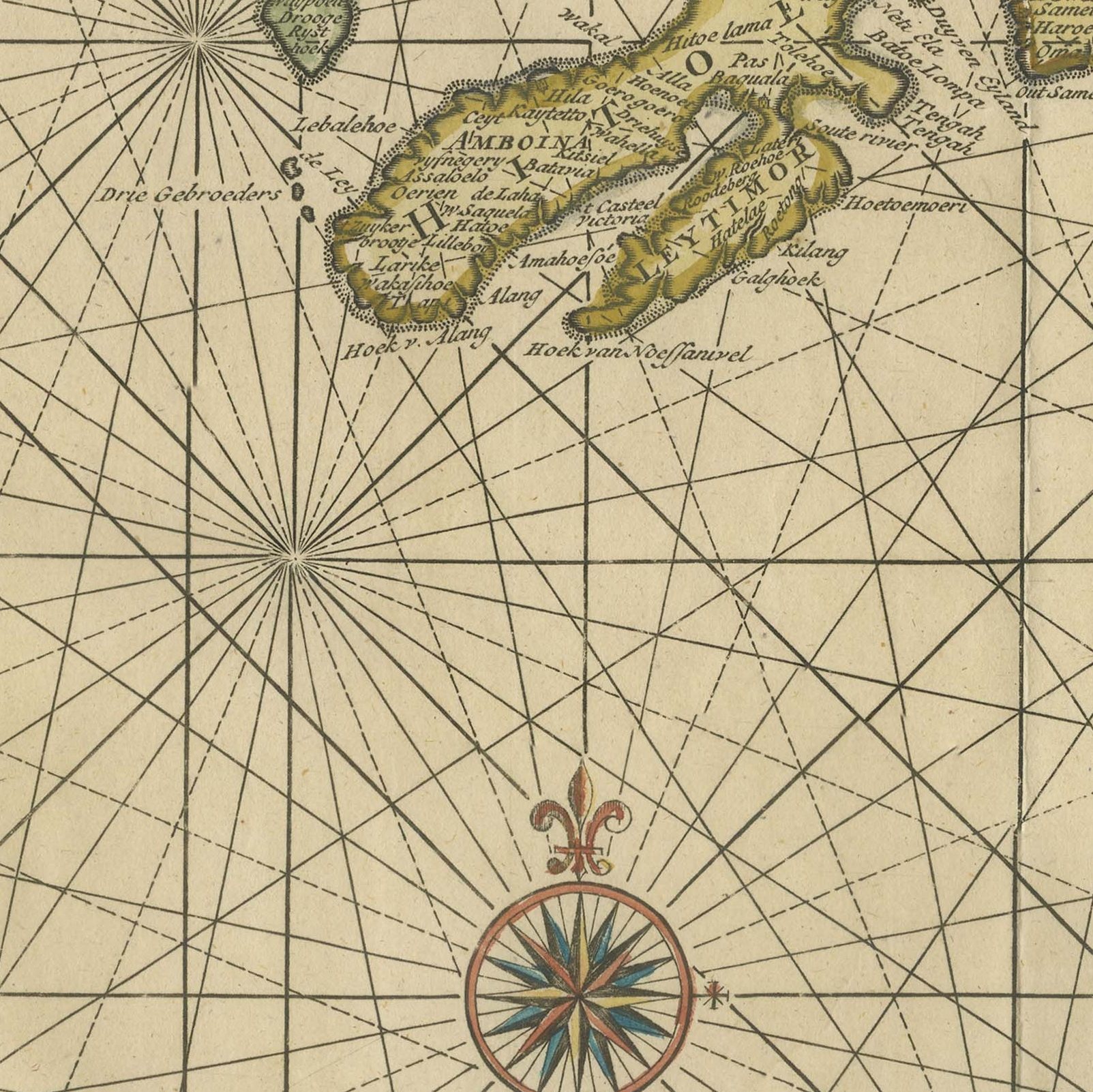
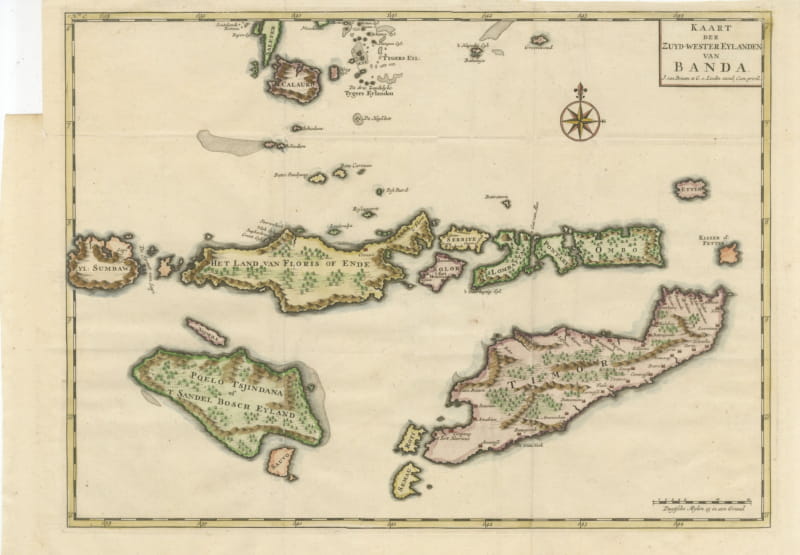
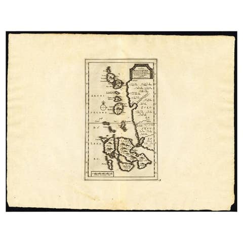
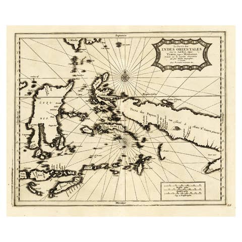
An original hand-colored antique sea chart of the government of Amboina and its eleven dependent islands, engraved on copper for Francois Valentijn and lettered "DE LANDVOOGDY van AMBOINA, met de elf onderhoorige Eylanden." This is a double-page plate and the broadest sheet in the group, running from Boero, now Buru, across the long arm of Ceram to Amboina itself, with the dependencies set out in the sea between them. Several compass roses are placed in the water and rhumb lines spread from each of them across the full width of the chart. The scale is lettered "Duytsche Mylen 15 in een Graad" and the plate is numbered "N.o 1" at the upper left. The hand coloring follows the coasts and separates the islands.
The chart is from Francois Valentijn's "Oud en Nieuw Oost-Indien", the five-volume account of the Dutch East Indies printed at Dordrecht and Amsterdam by Joannes van Braam and Gerard onder de Linden between 1724 and 1726. It is an original copper engraving with hand coloring, issued as a double-page plate and numbered first in its sequence of charts. Valentijn had served the Dutch Reformed church at Amboina, and the charts of the Moluccas in his work rest on his own observation as much as on Dutch East India Company surveys.
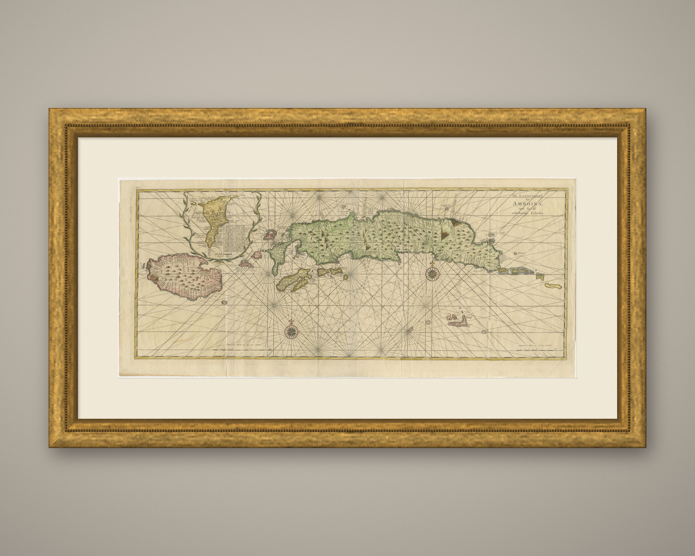
Valentijn was himself a minister at Amboina and knew these waters at first hand, which is why his Moluccan charts are the best of their period: the shape of the coasts, the placing of the villages and the names of the dependencies come from a man who had been there rather than from a copied plate. Amboina was the administrative heart of the Dutch spice monopoly and the place from which the clove trade was controlled. The width of this chart gives it real presence on a wall, and it is the sheet to choose for a long horizontal space above a bookcase or a bed, where the spread of the rhumb lines across the sea can be seen whole.
Slight wear at the bottom left, top left and top right corners. Minor edge wear, shallow nicks along the bottom, left, right and top.
This is an original antique map, not a modern reproduction. This item is sold unframed. Any framed or interior images are shown for presentation and inspiration only, unless the listing explicitly states that the item is sold framed.