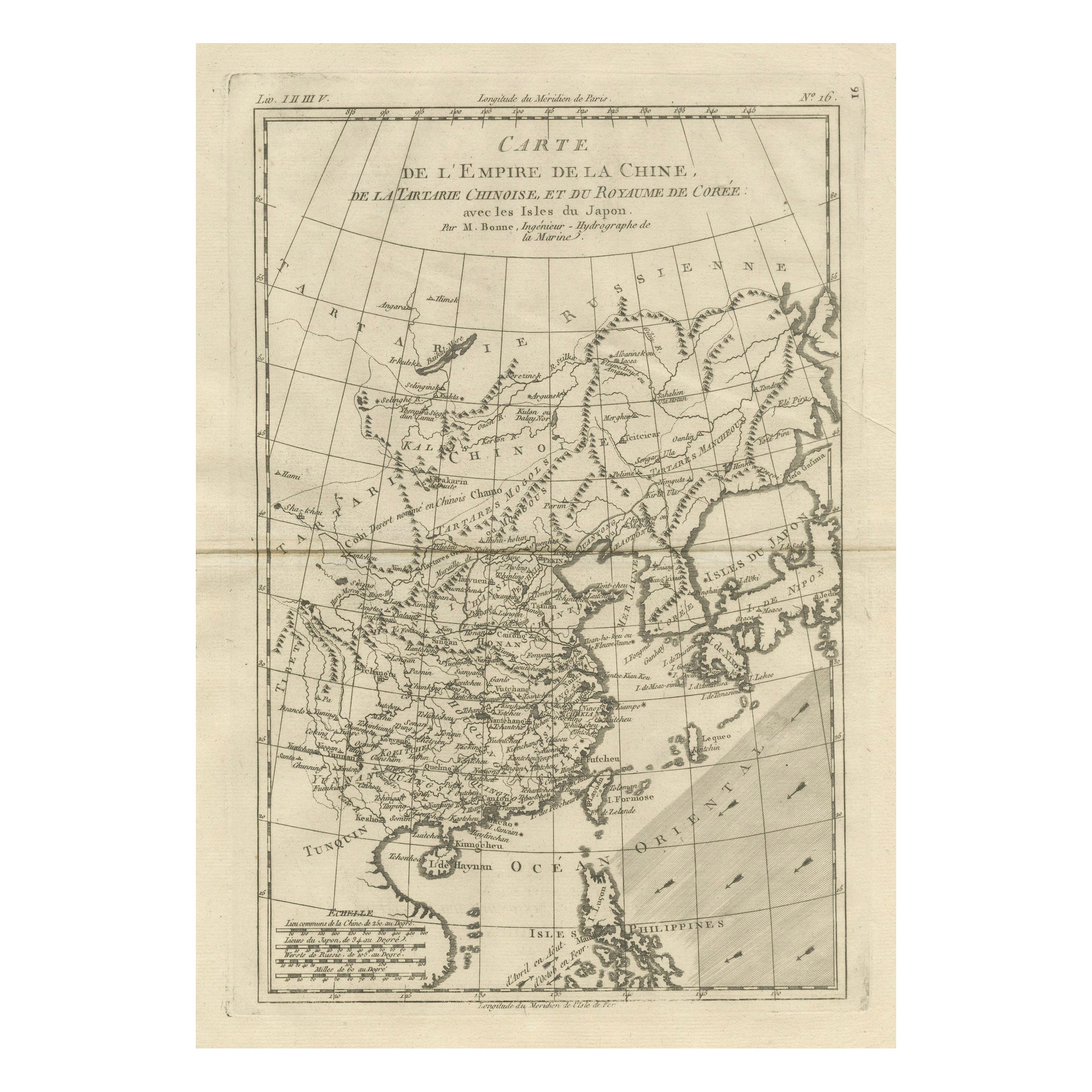
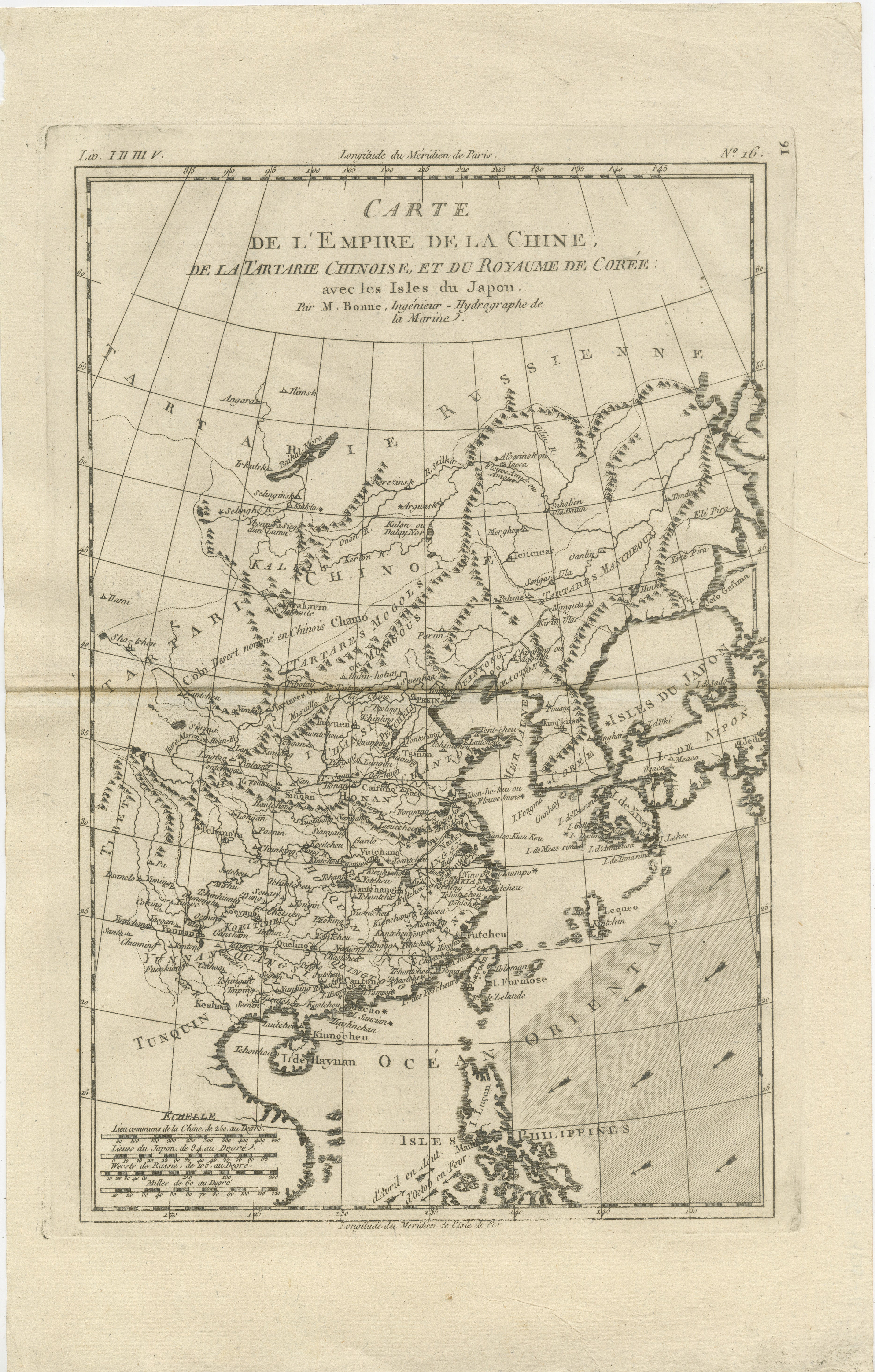
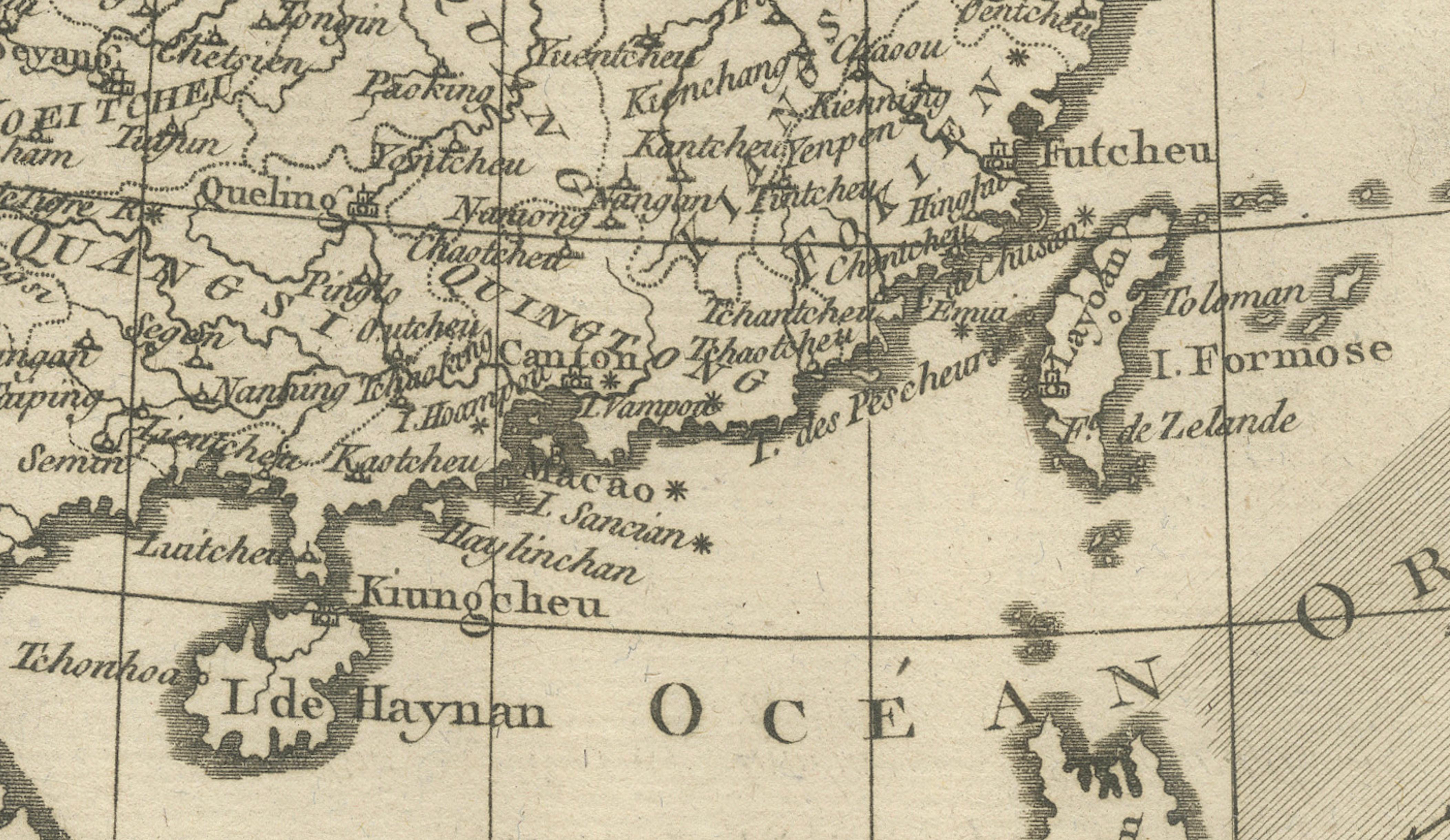
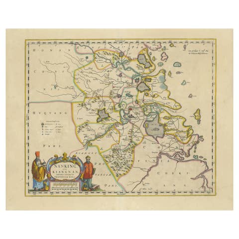
China, Korea & Japan – Antique East Asia Map, Bonne c1780
€ 340
One of a kind: this is the sheet in the photographs. Ships from Langweer, the Netherlands.
Sheet size
41 × 26 cm (16.1 × 10.2 in)
Condition
Good
Reference
BG-14105-16
Condition
Good condition with light toning, original fold, minor edge wear. The map is offered unframed, preserving the sheet in its original, untouched state.
About this sheet
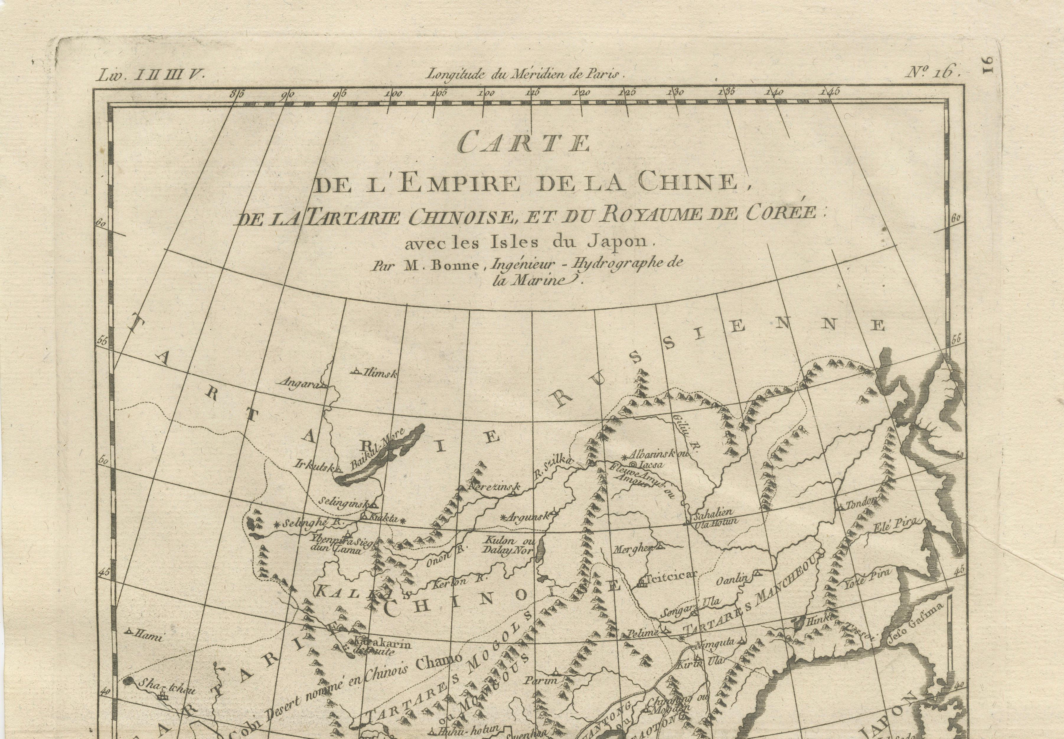
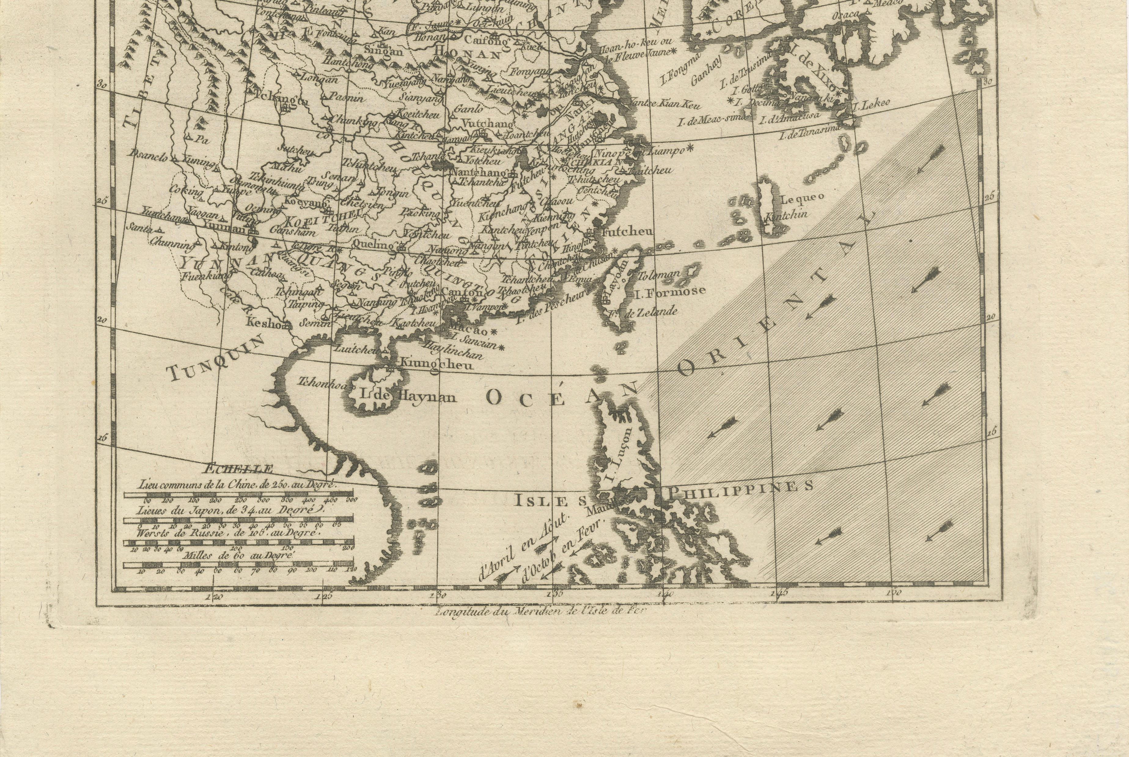
China, Korea & Japan – Antique East Asia Map, Bonne c1780 This map presents China, Korea, and Japan, including Tartary and surrounding seas. Rivers, mountain ranges, and provincial divisions are carefully delineated, reflecting European geographic knowledge of East Asia in the late 18th century. Rigobert Bonne’s engraving is dense yet readable, offering insight into political and cultural boundaries as understood at the time. A fine example of Enlightenment-era Asian cartography.
Condition: Good condition with light toning, original fold, minor edge wear.
Framing tips: A slim black frame with a pale mat emphasizes the vertical composition.
Keywords: China map, Japan map, Korea map, East Asia cartography, antique Asian map, Rigobert Bonne, 18th century geography
Technique: Copper engraving Maker: Rigobert Bonne, France, circa 1780