About this sheet
17th-Century Antique Map of Henan Province, China – "Honan" by Blaeu, with Detailed Cartography and Artistic Cartouches
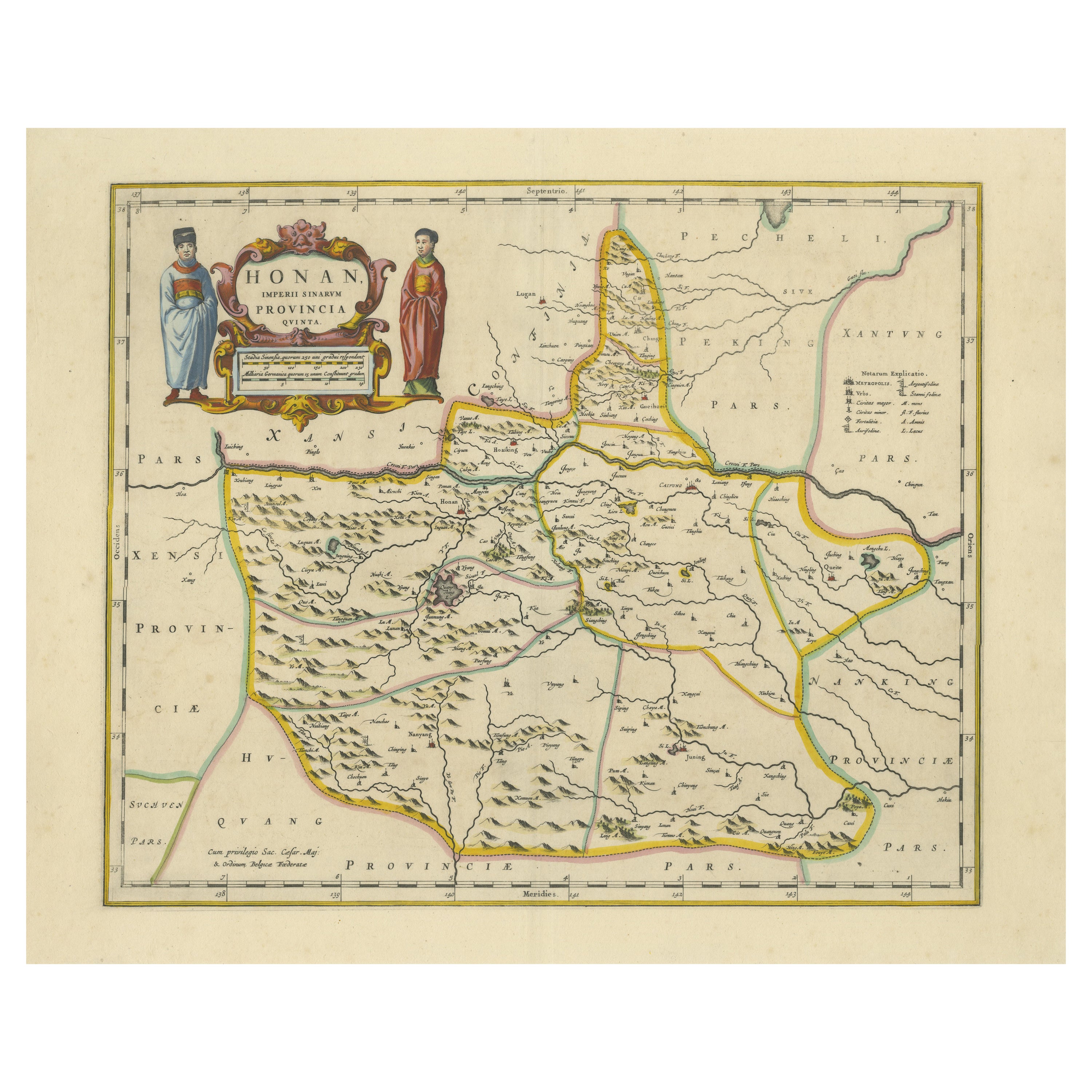
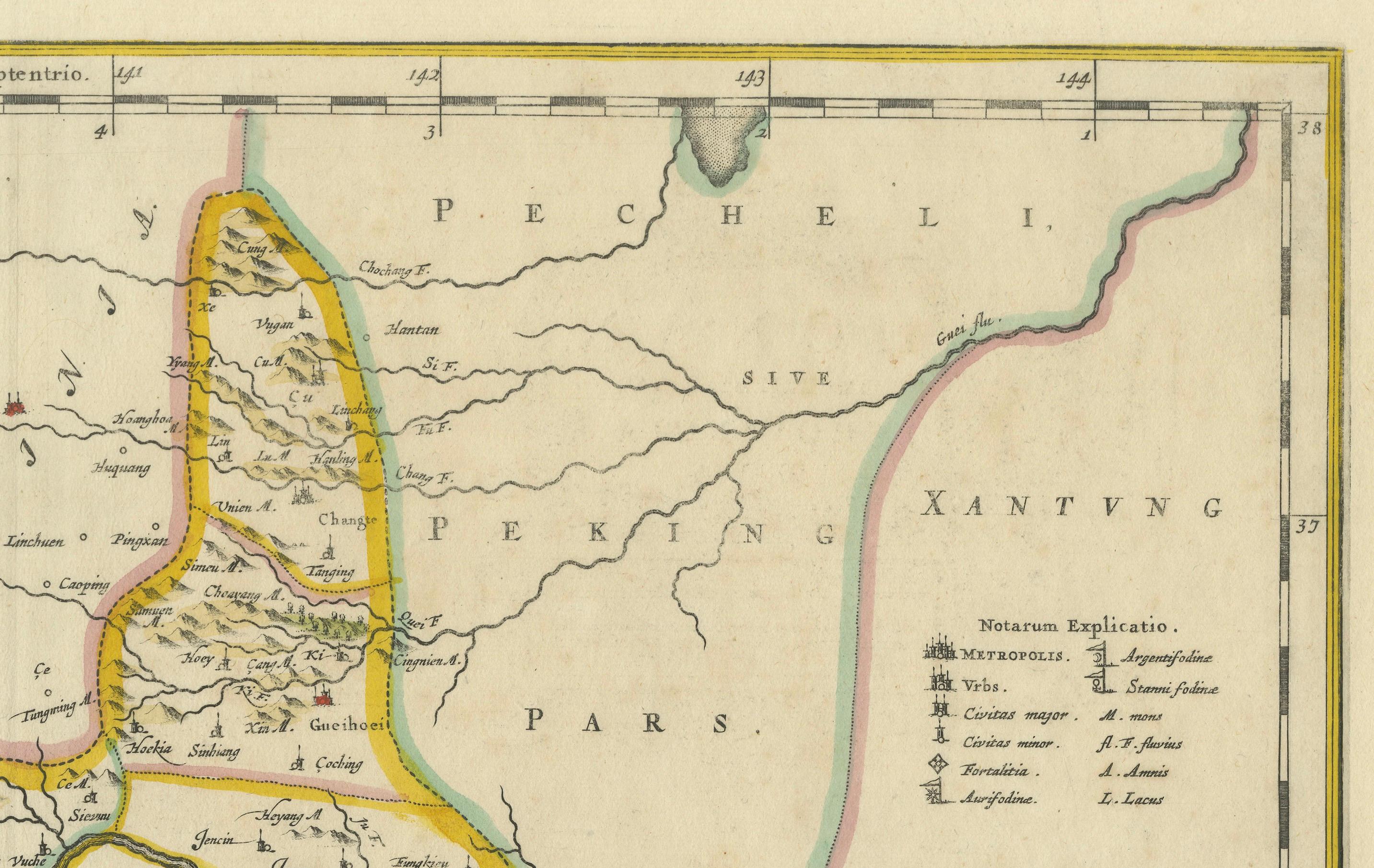
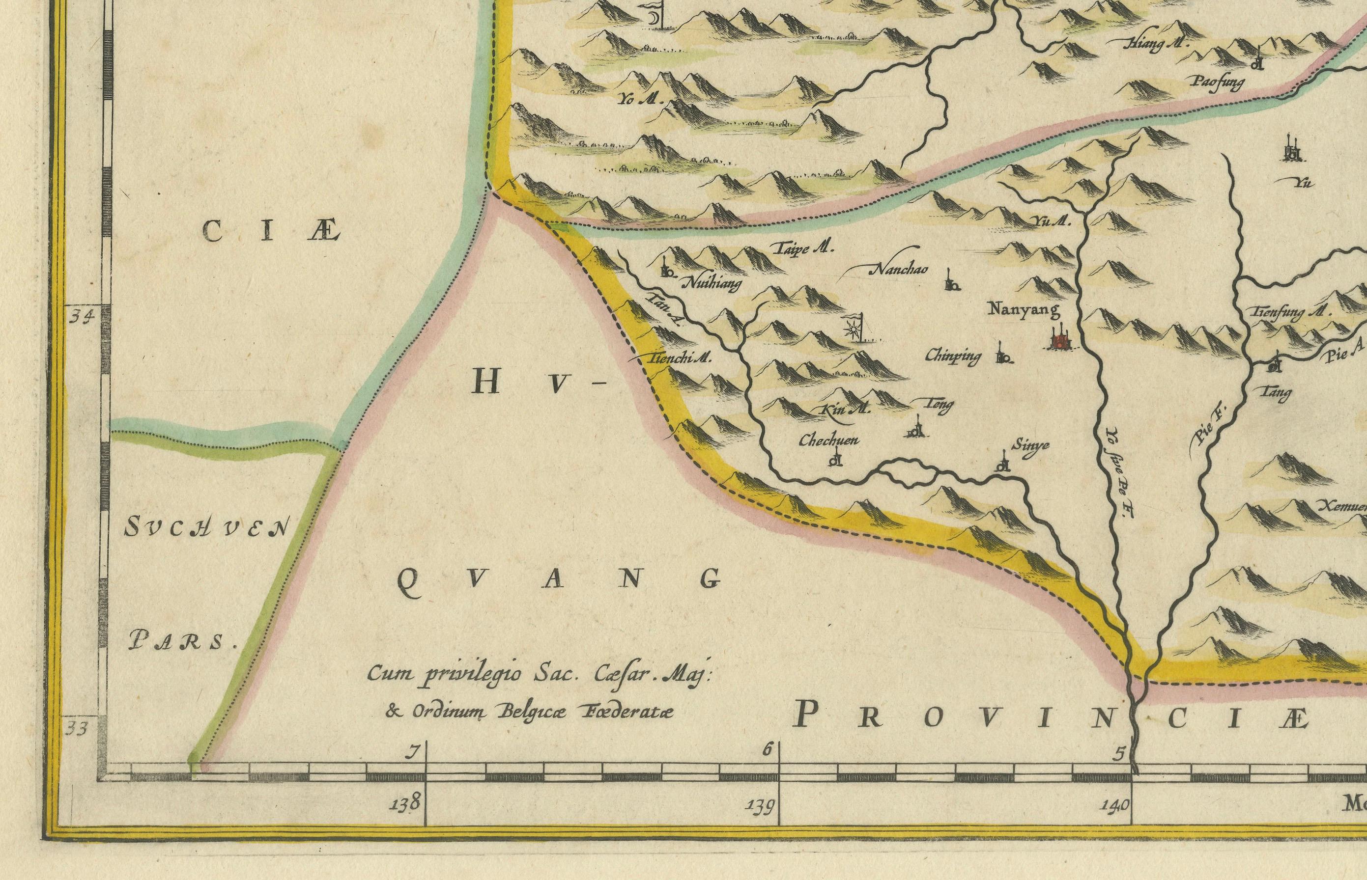
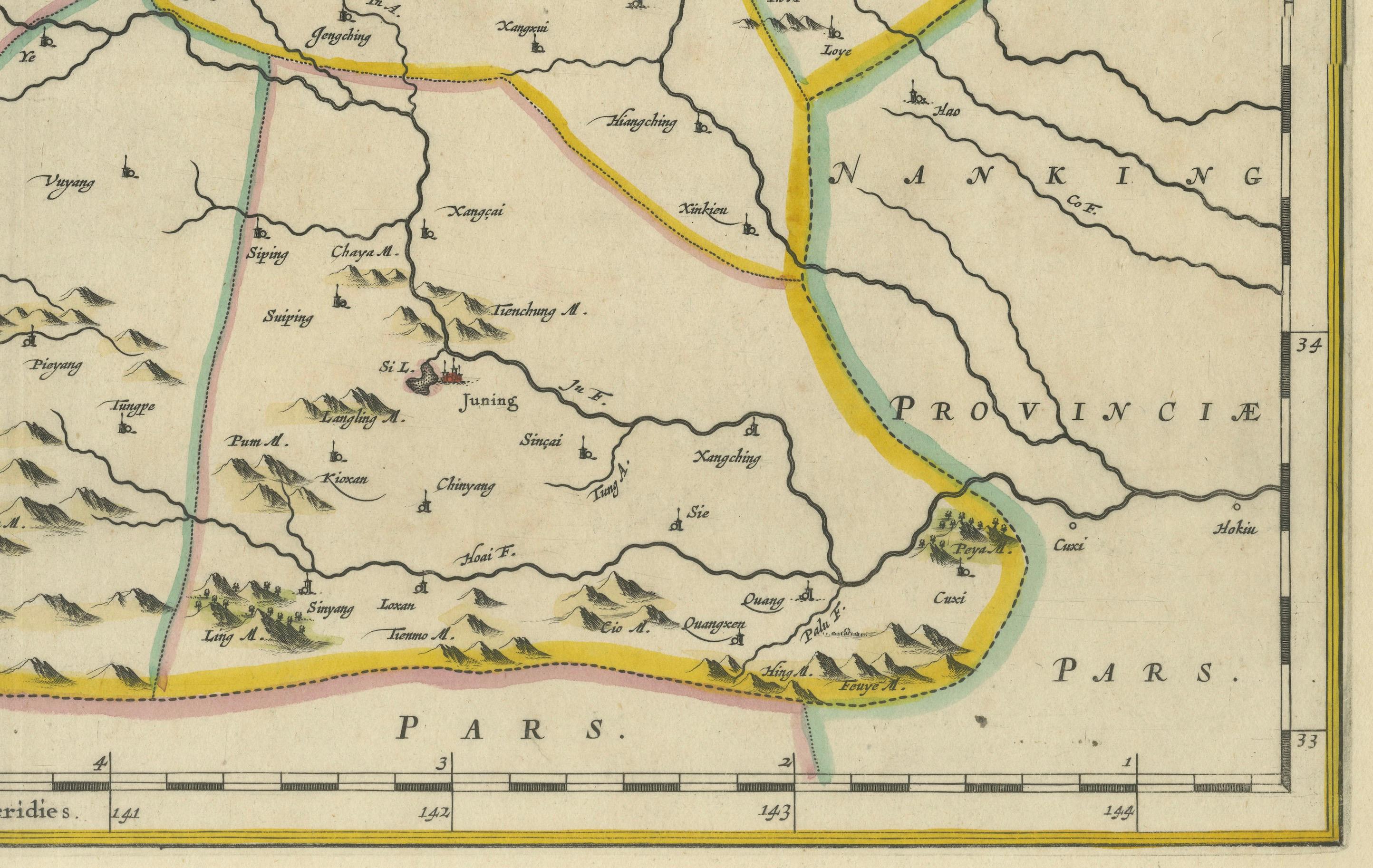
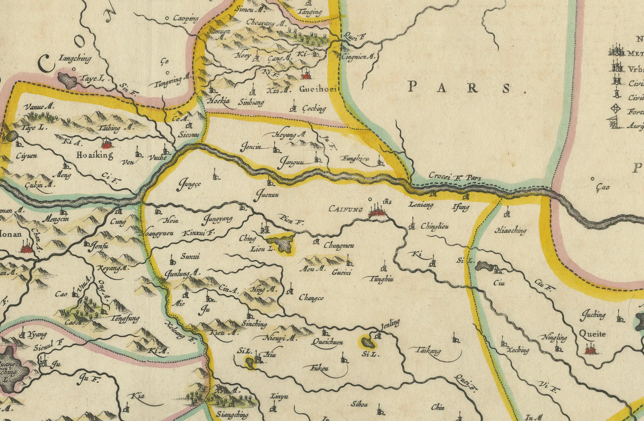
This exceptional 17th-century map of Henan Province, historically referred to as "Honan," was created by Johannes Blaeu and published in 1655 as part of the *Novus Atlas Sinensis*. Henan, located in central China, is known as the cradle of Chinese civilization and holds deep historical and cultural significance. The map offers a detailed representation of Henan’s geography, including its towns, rivers, and mountainous terrain, all meticulously engraved and labeled in Latin.
The province is renowned for its role in Chinese history, being home to ancient capitals such as Luoyang and Kaifeng. These cities played central roles during various dynasties, including the Tang and Song. The Yellow River, prominently depicted on the map, has shaped the region’s history and development as one of the most important rivers in Chinese civilization.
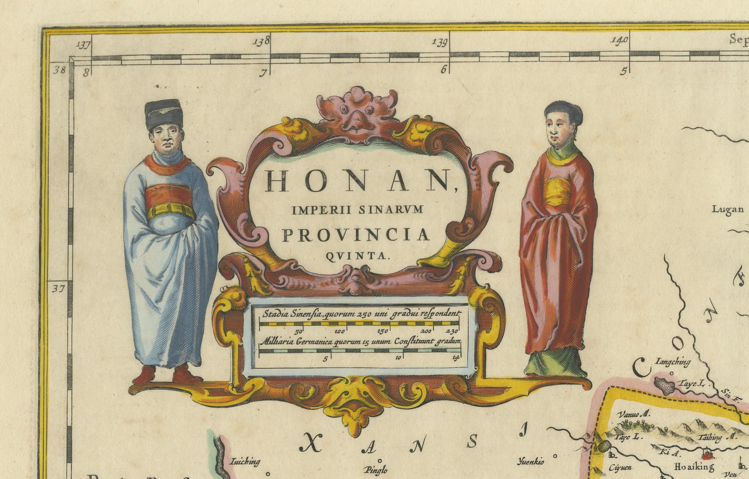
The decorative cartouche in the upper-left corner features two figures in traditional Chinese attire, adding a cultural element to the map. The precision of the copperplate engraving, combined with vibrant hand-coloring, highlights the province’s borders, key cities, and natural features, making the map both an artistic and historical masterpiece.
Condition: Near excellent. Strong impression with vivid hand-coloring. Wide margins with light age-toning consistent with its age.
Framing Tips: Enhance its presentation with a neutral double mat and a gilt or dark wood frame to complement its historic and artistic value. Use UV-protective glass to preserve the vibrant hand-coloring and intricate engraving.
This map is ideal for collectors of historical maps, Chinese history enthusiasts, or anyone seeking a stunning representation of one of China’s most historically significant provinces.
Henan, historically referred to as "Honan," is known as the cradle of Chinese civilization, with its fertile lands along the Yellow River supporting the development of some of the earliest Chinese dynasties. The region’s historical significance lies in its role as the location of ancient capitals such as Luoyang and Kaifeng, which were political, cultural, and economic centers during various periods of Chinese history. The Yellow River, one of the most important rivers in Chinese history, flows through the province, earning it the title "The Mother River of China."
Important places in Henan include Luoyang, known for the Longmen Grottoes and its role as a major cultural center, and Kaifeng, historically significant as a hub of trade, culture, and governance during the Song Dynasty. Zhengzhou, now the modern provincial capital, was an early Shang Dynasty capital. The Shaolin Temple, located on Mount Song, is famous as the birthplace of Zen Buddhism and Shaolin martial arts.
Keywords for this original engraving: antique map of Henan, Honan map, Yellow River map, 17th-century Chinese map, Blaeu map, Novus Atlas Sinensis, Martino Martini, ancient Chinese capitals, Longmen Grottoes, Kaifeng, Luoyang, copperplate engraving, hand-colored map, decorative cartouche, Chinese history and cartography, and Dutch Golden Age maps. These keywords reflect the historical and cultural importance of the region and its artistic appeal for collectors.