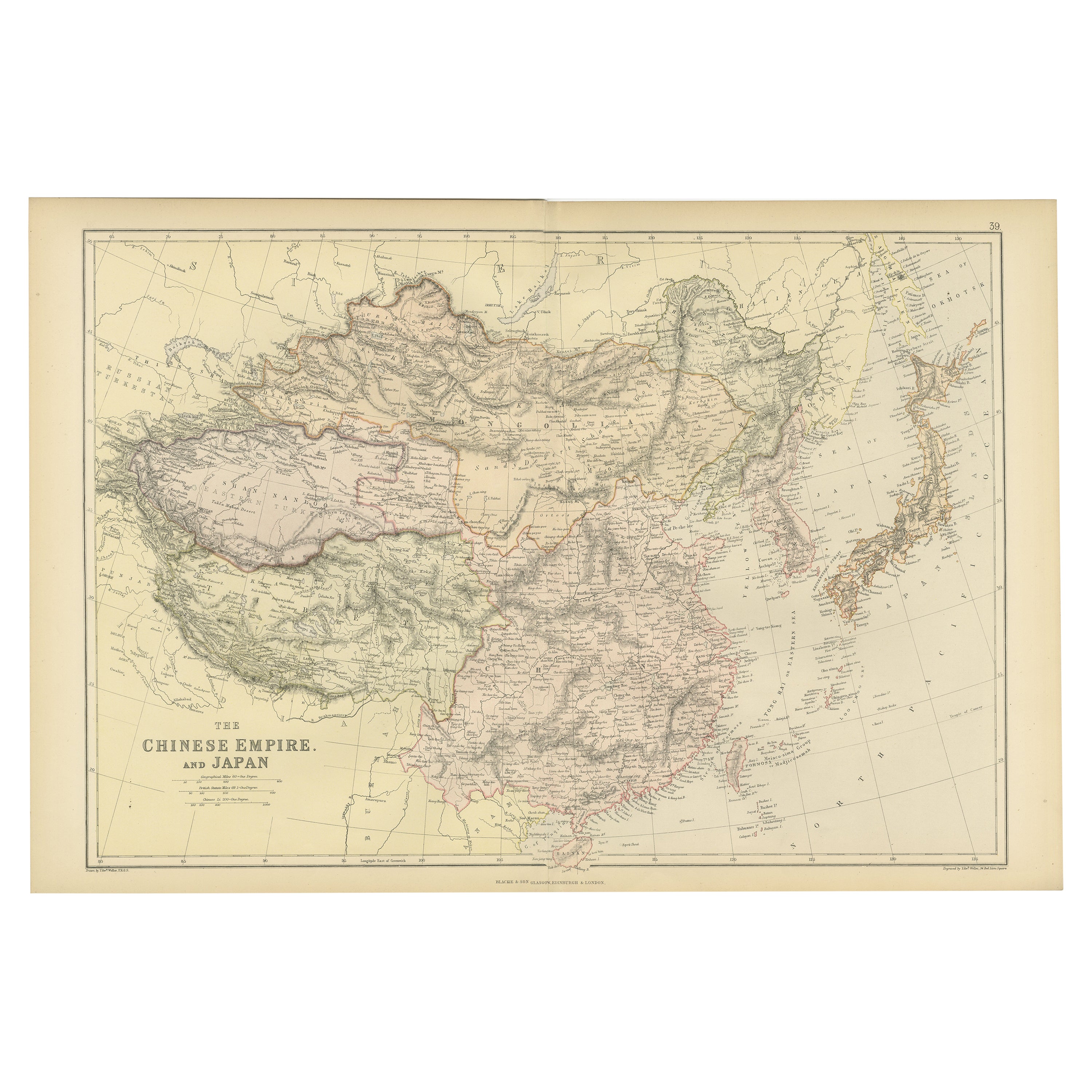
One of a kind: this is the sheet in the photographs. Ships from Langweer, the Netherlands.
Date
1882
Sheet size
38 × 57 cm (15.0 × 22.4 in)
Condition
Good
Reference
BG-13601-2-49
Condition
Good condition, folding line in the middle. The outer borders are slightly discolored due to age, but not the image. This map is ideal for framing. Study the image carefully.
About this sheet
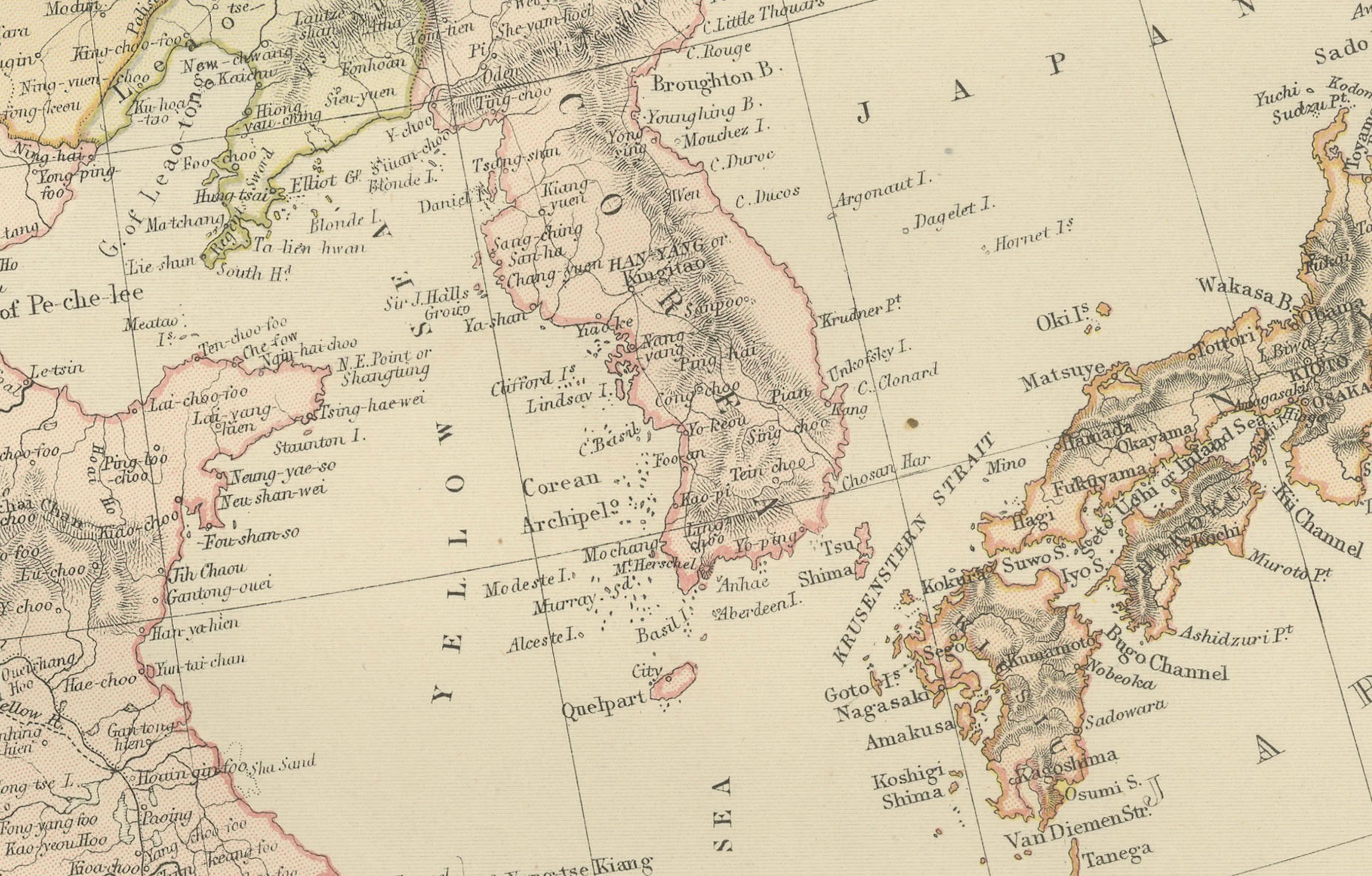
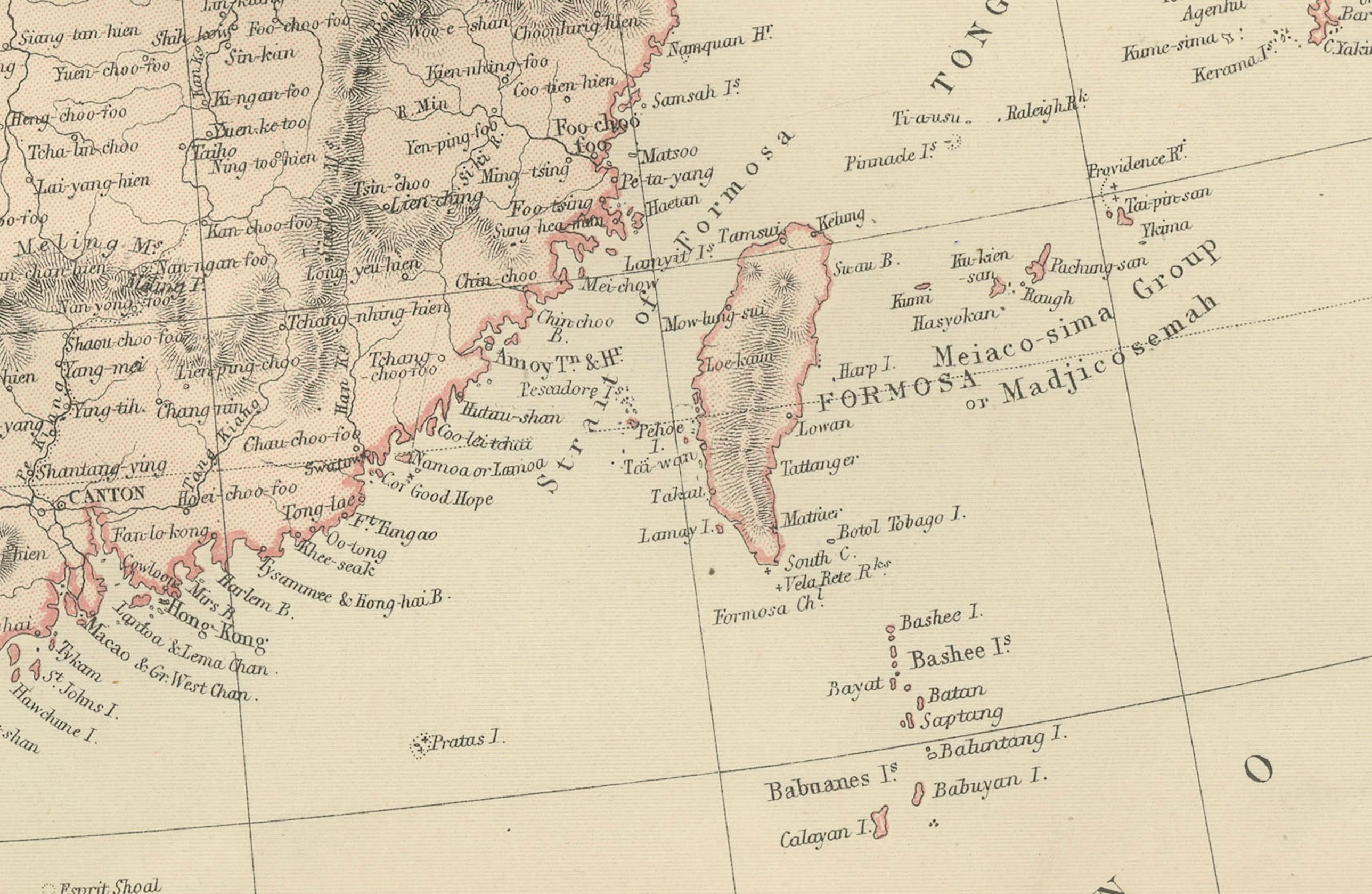
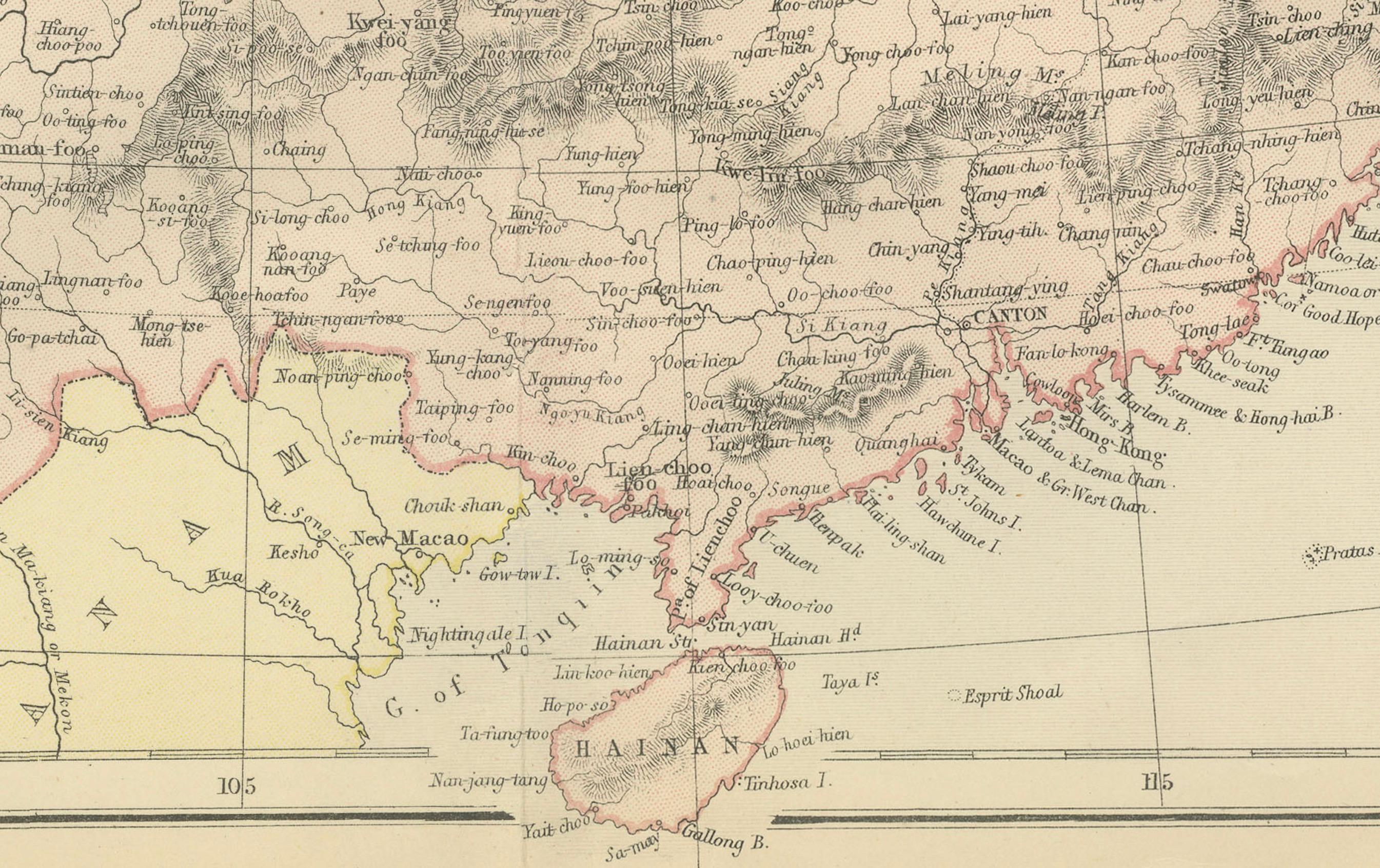
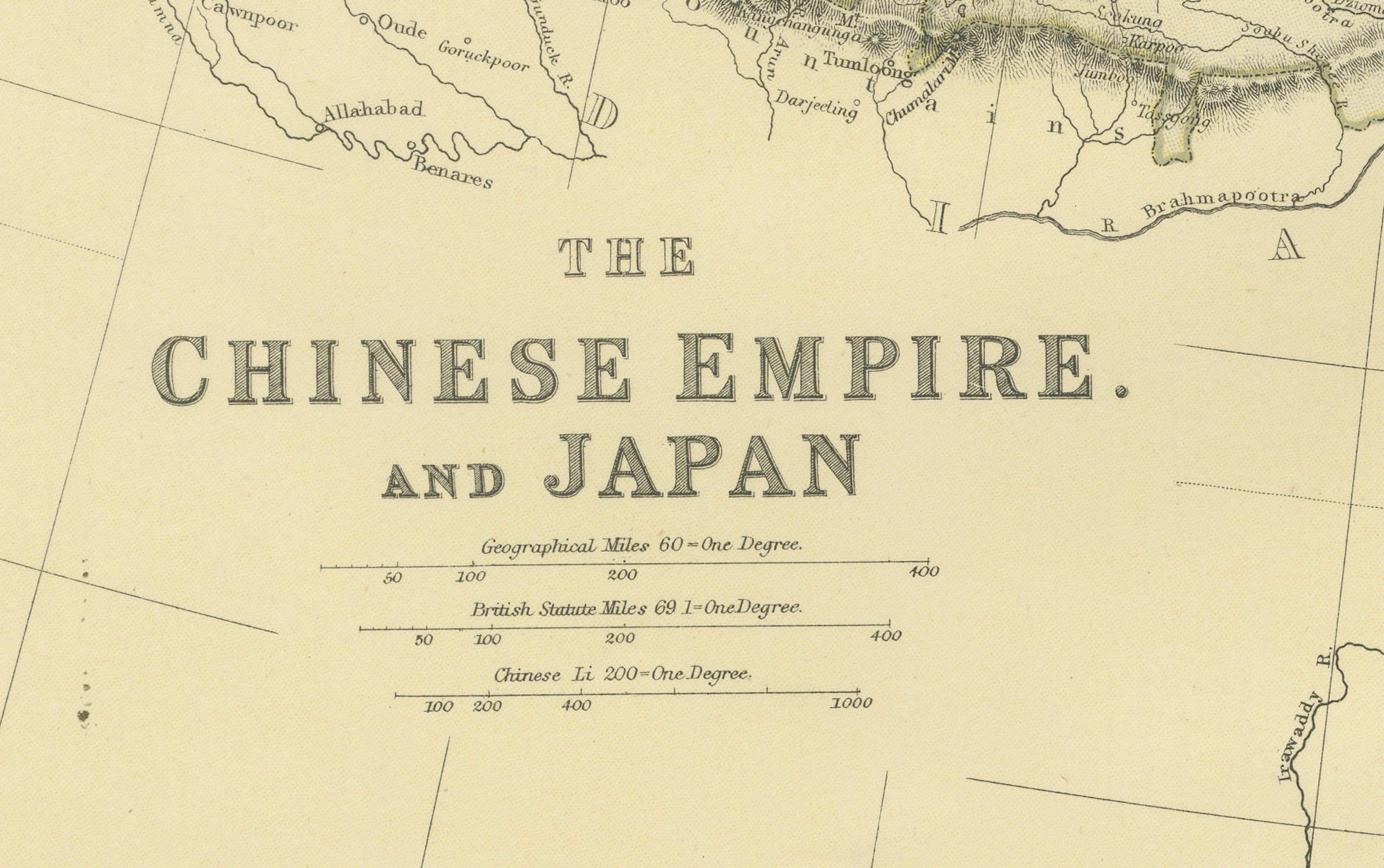
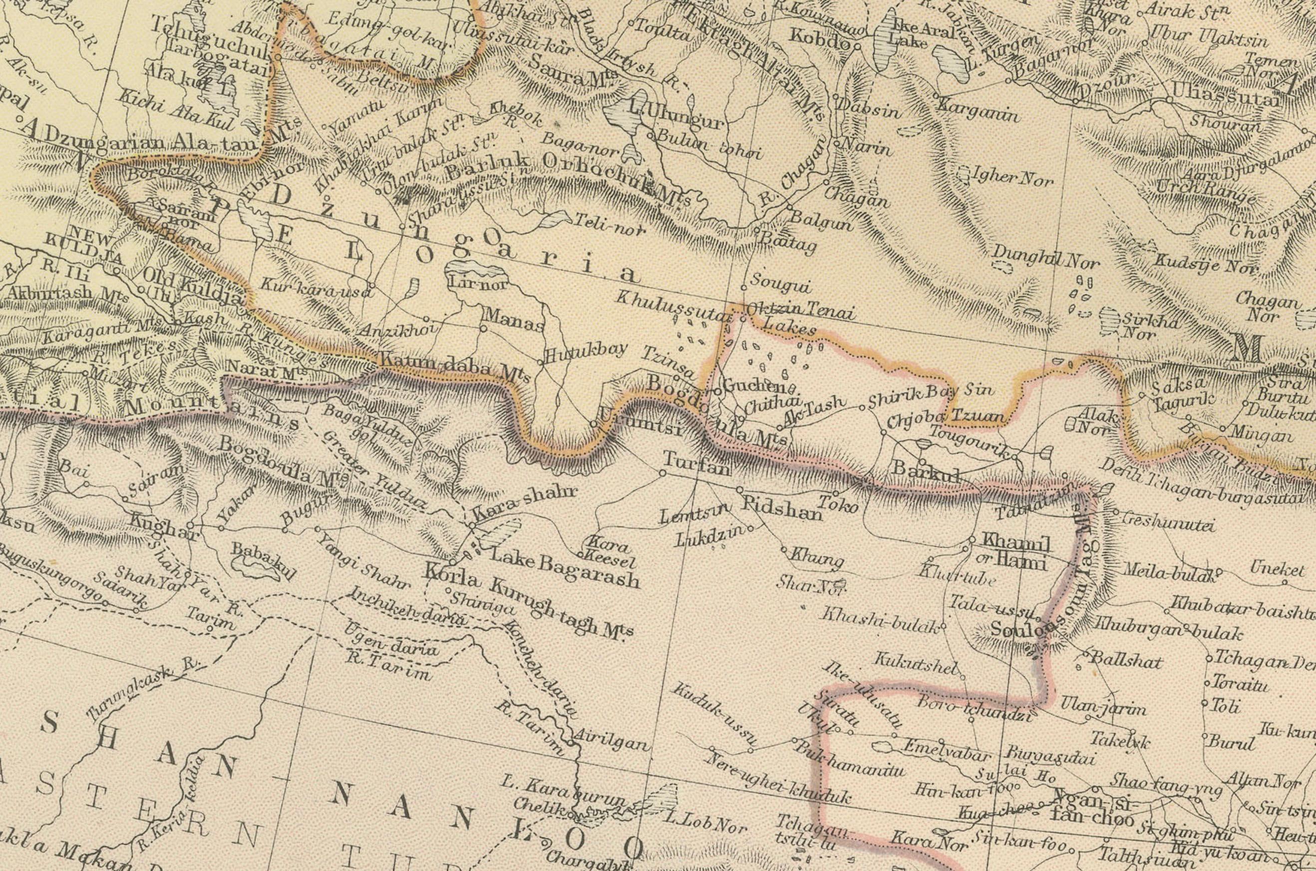
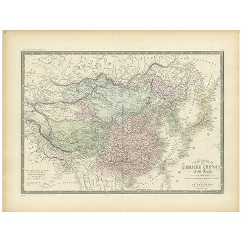
An original antique map titled "The Chinese Empire and Japan," dating from an 1882 atlas by Blackie & Son. It is a color map with geographical features such as mountain ranges, rivers, and political boundaries. The vast area of China is central, with its provinces outlined and labeled in detail. To the east, the archipelago of Japan is depicted, including the main islands, as well as Korea, Taiwan (Formosa), Hainan and Macau . The topography is represented with hachures, a method of shading used to indicate slopes and mountains.
The map uses latitudinal and longitudinal lines for reference, and the color coding may represent different political regions or elevations. The waters around Japan and along the coast of China are well-charted.
This map likely reflects the geopolitical boundaries of the time, which could differ from present-day borders. Since this is from a 19th-century British atlas, place names are probably anglicized, and the map would serve educational purposes or as a reference for those interested in the region's geography and political divisions at that time.