Antique 19th Century Map of China by Blackie & Son, 1882
€ 250
One of a kind: this is the sheet in the photographs. Ships from Langweer, the Netherlands.
Date
1882
Sheet size
57 × 38 cm (22.4 × 15.0 in)
Condition
Good
Reference
BG-13601-2-50
Condition
Good condition, folding line in the middle. The outer borders are slightly discolored due to age, but not the image. This map is ideal for framing. Study the image carefully.
About this sheet
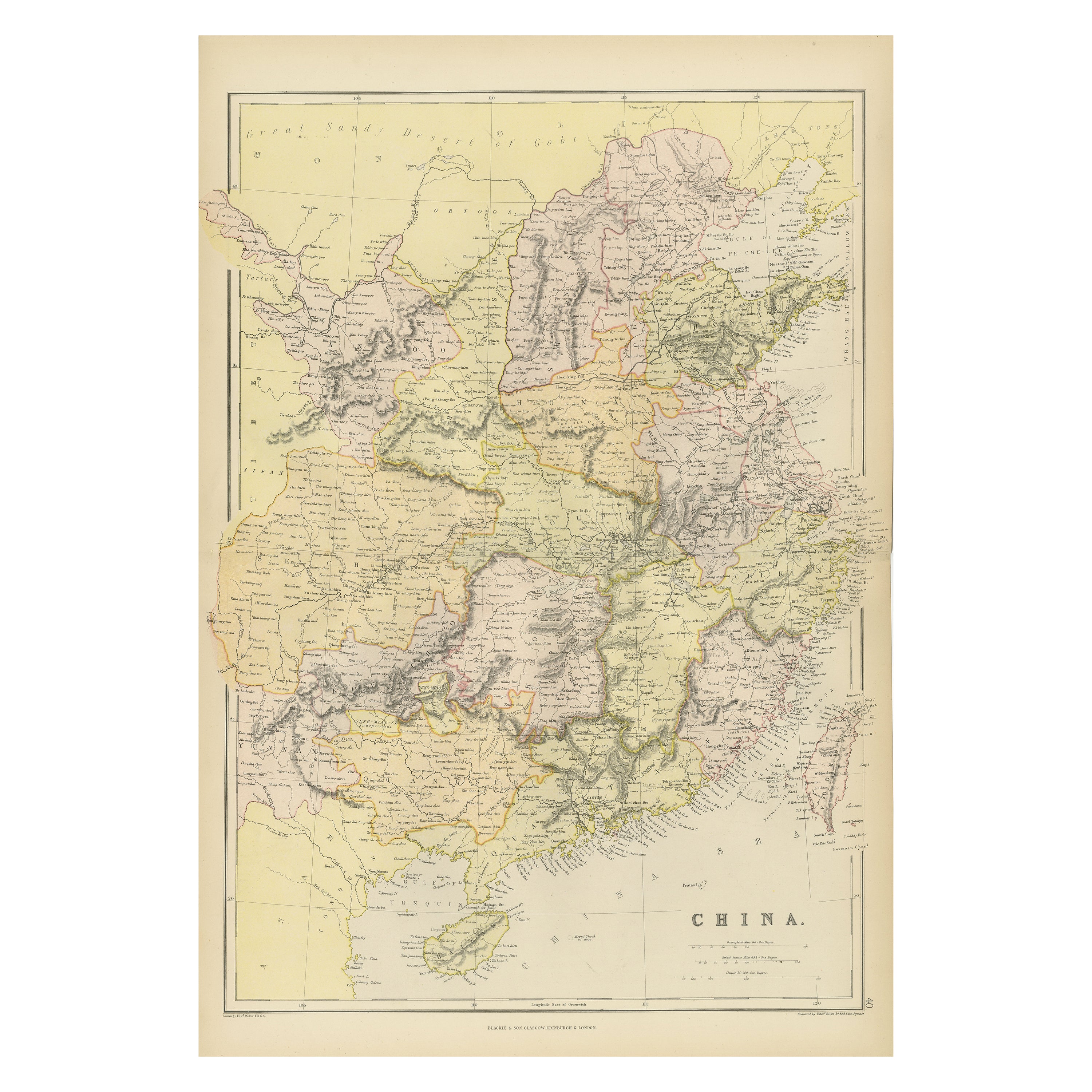
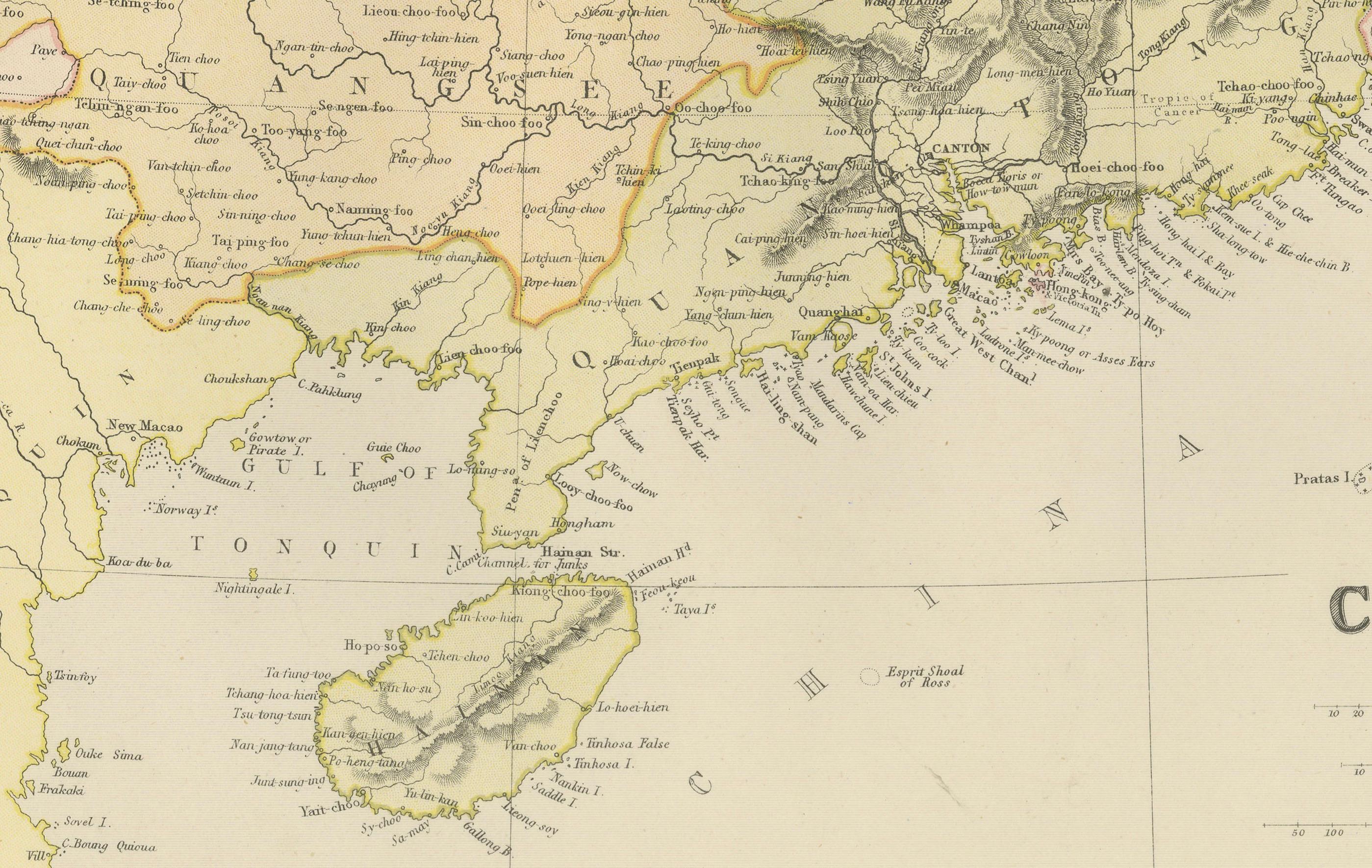
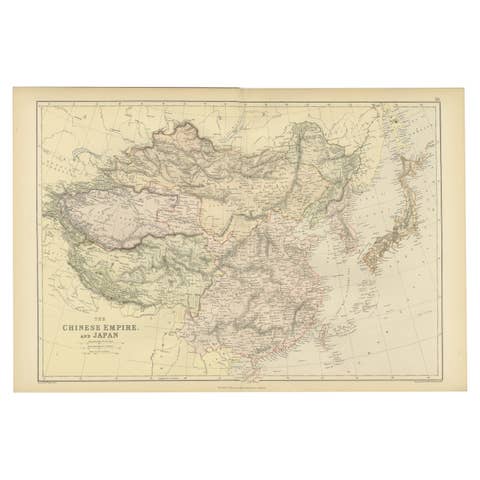
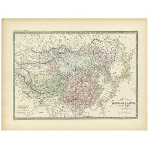
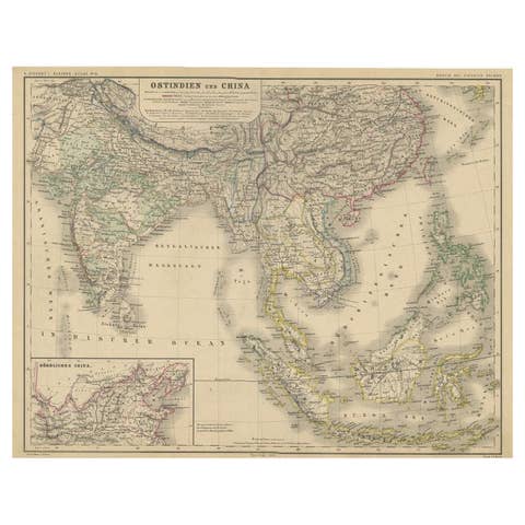
This map is an 1882 Blackie & Son map of China. The title "CHINA." is prominently displayed at the bottom. The map is colored to differentiate various regions, possibly indicating different provinces or territories within China at the time.
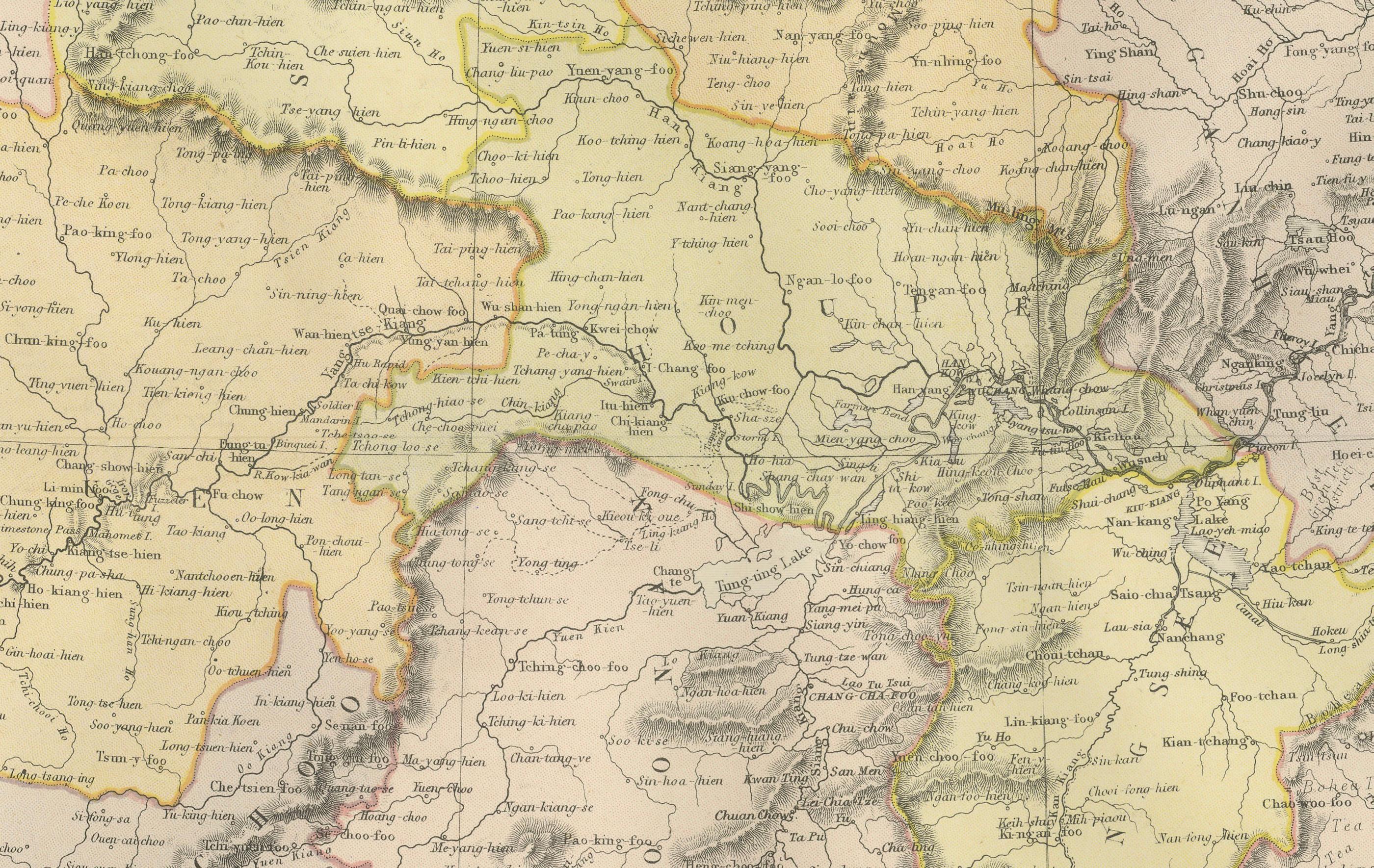
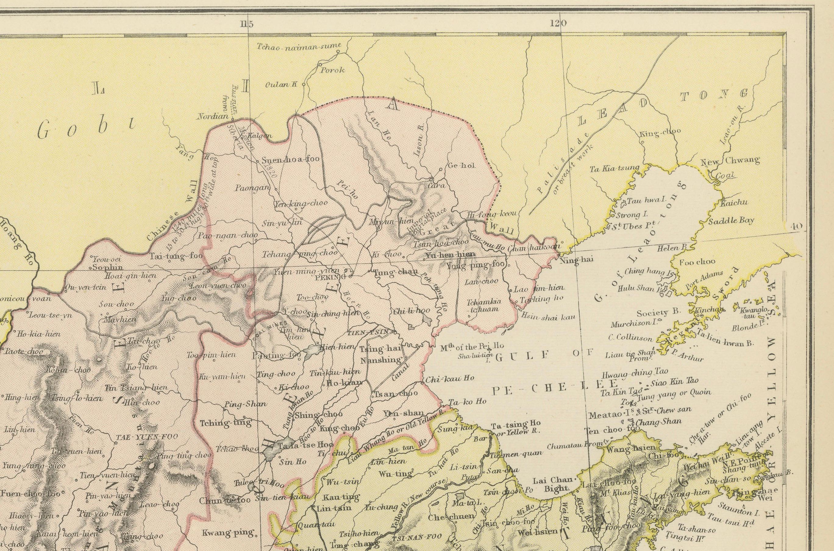
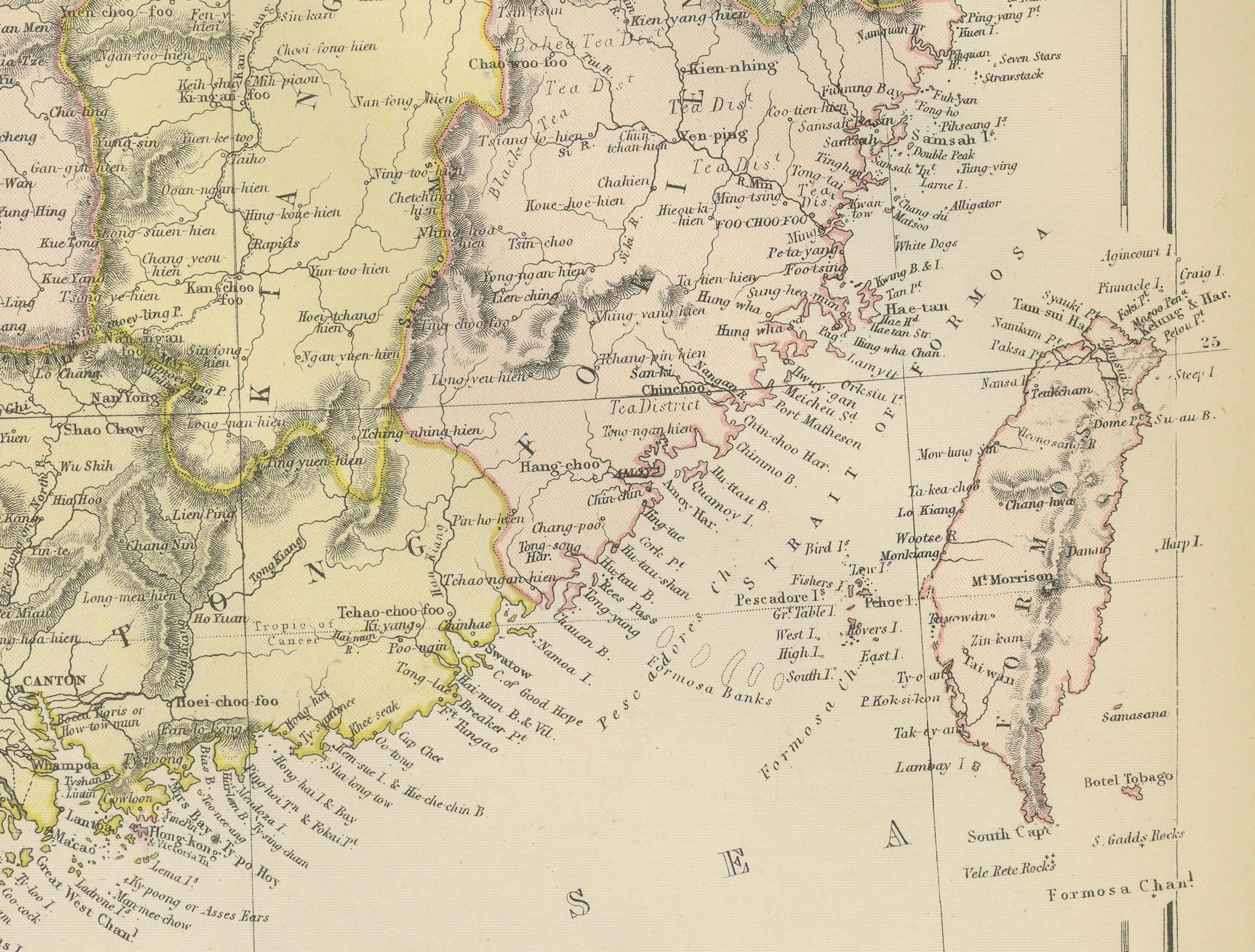
Notable geographic features include the "Great Sandy Desert of Gobi" in the north, depicted in a light yellow shade. The map shows a diverse range of topographical details, such as mountain ranges, rivers, and coastal lines, which are highlighted with hachures and contours to denote elevation and terrain.
The map is gridded with longitudinal and latitudinal lines, aiding in navigation and location. Various cities and towns are marked and labeled throughout, suggesting a comprehensive survey of populated places at the time. The scale of miles is present at the bottom right, allowing for the estimation of distances between different points on the map.
This map would serve not only as a geographical reference but also as an educational tool or a means for planning travel and understanding the regional division of 19th-century China. The cartography reflects the style and knowledge of the era and provides insights into the historical landscape of China.