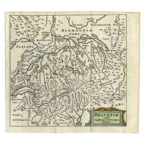
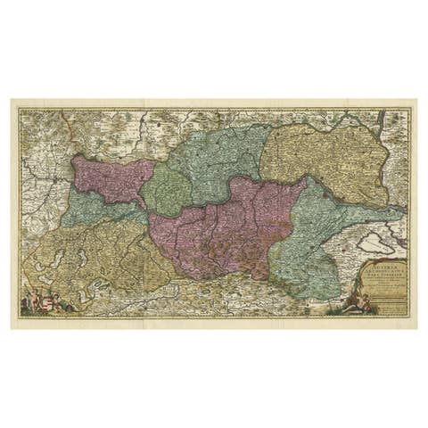
Map of Switzerland by Justus Danckerts, Hand-Colored Engraving ca. 1690
€ 550
One of a kind: this is the sheet in the photographs. Ships from Langweer, the Netherlands.
Date
1690
Sheet size
52 × 60 cm (20.5 × 23.6 in)
Condition
Good
Reference
BG-13669-1
Condition
Well-preserved, considering age, but with some edge wear, light age toning, but mostly in the borders. The image itself mostly a clean and detailed sharp impression.
About this sheet
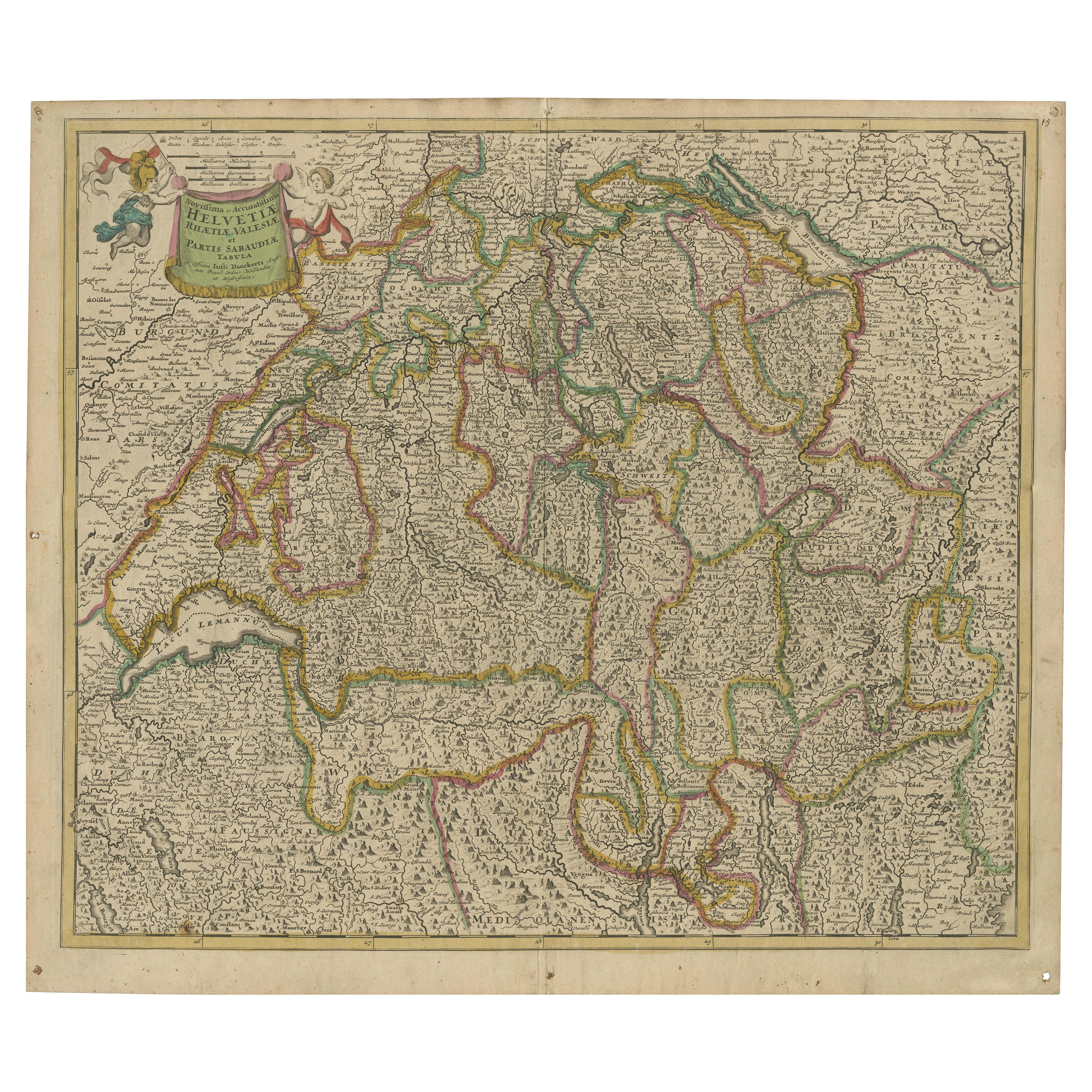
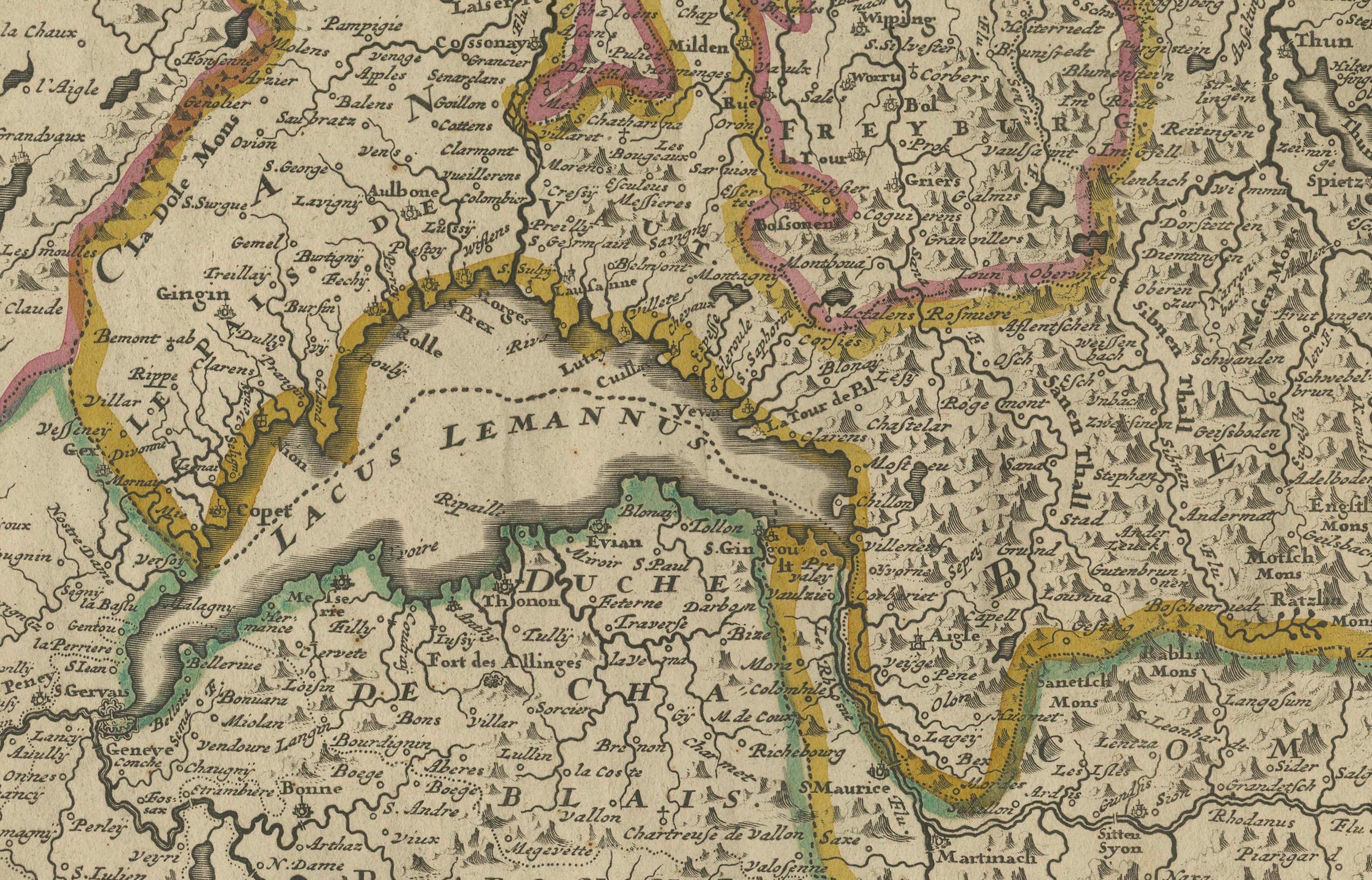
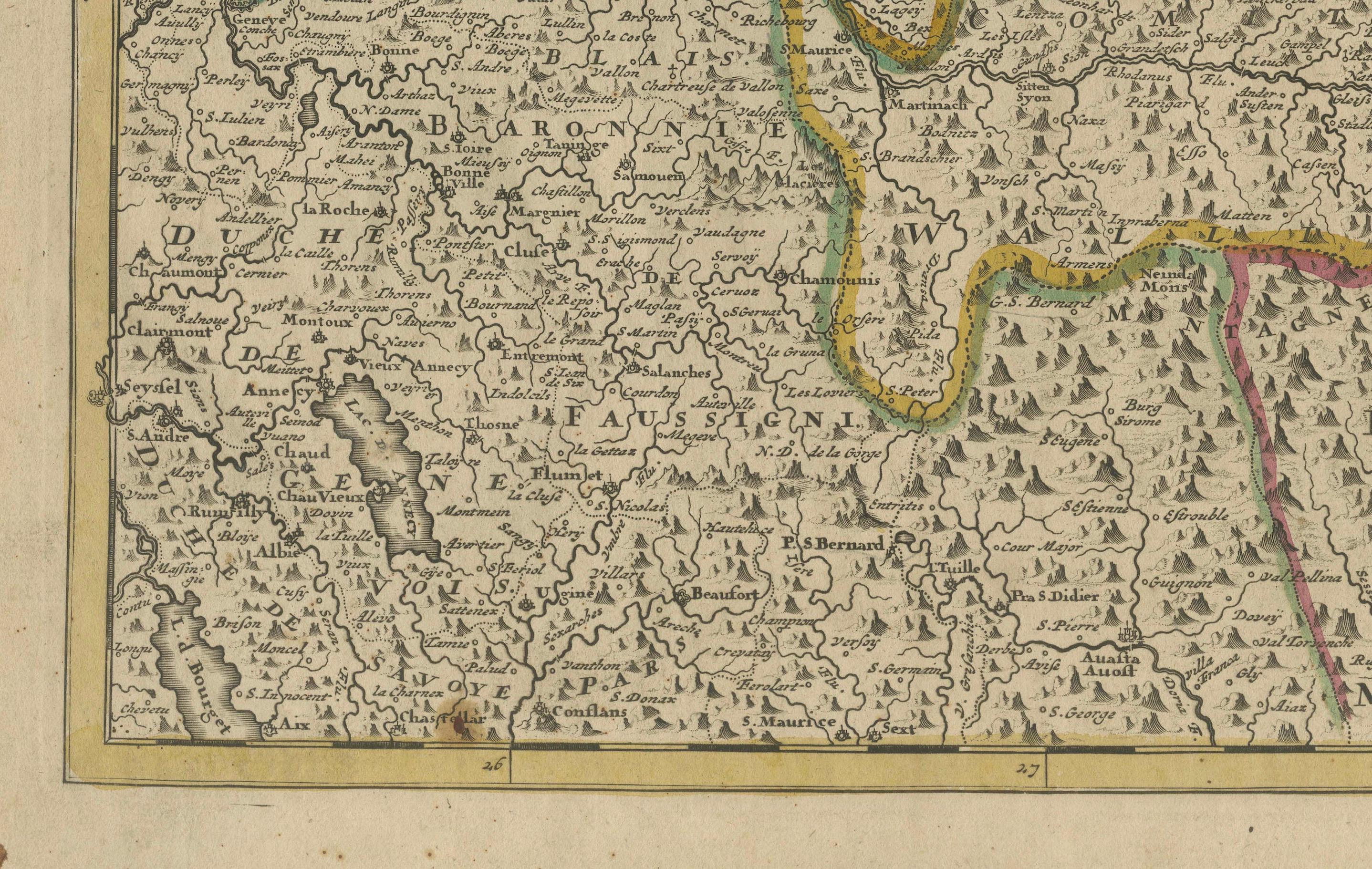
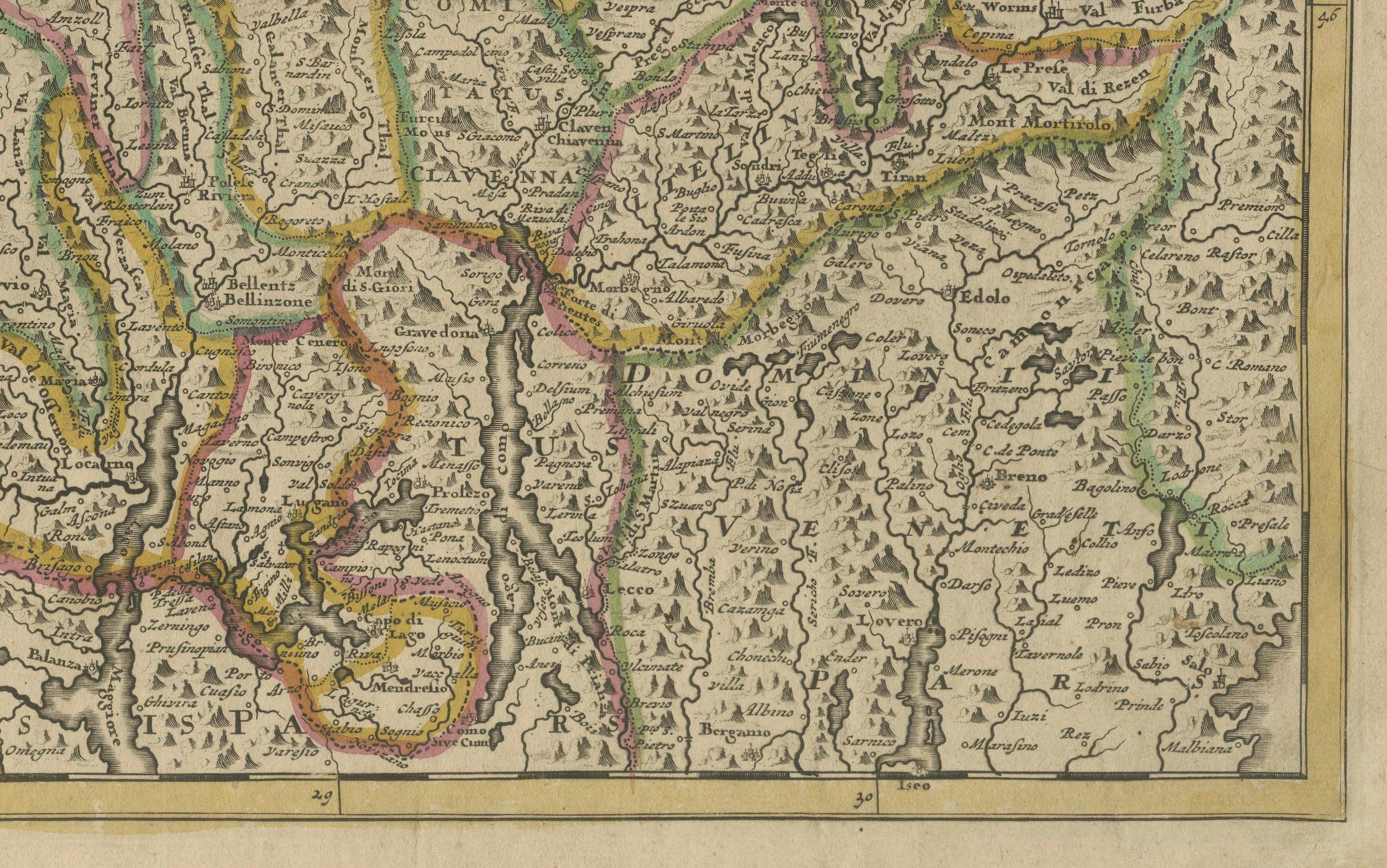
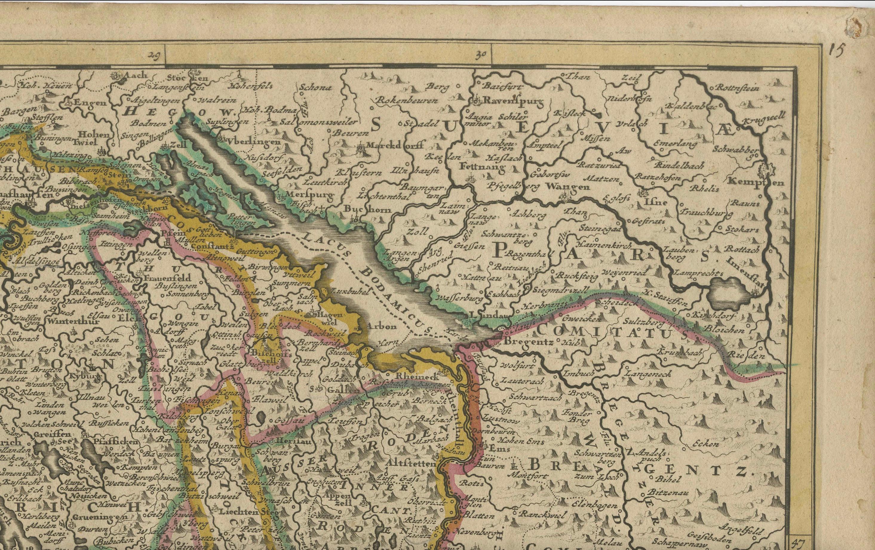
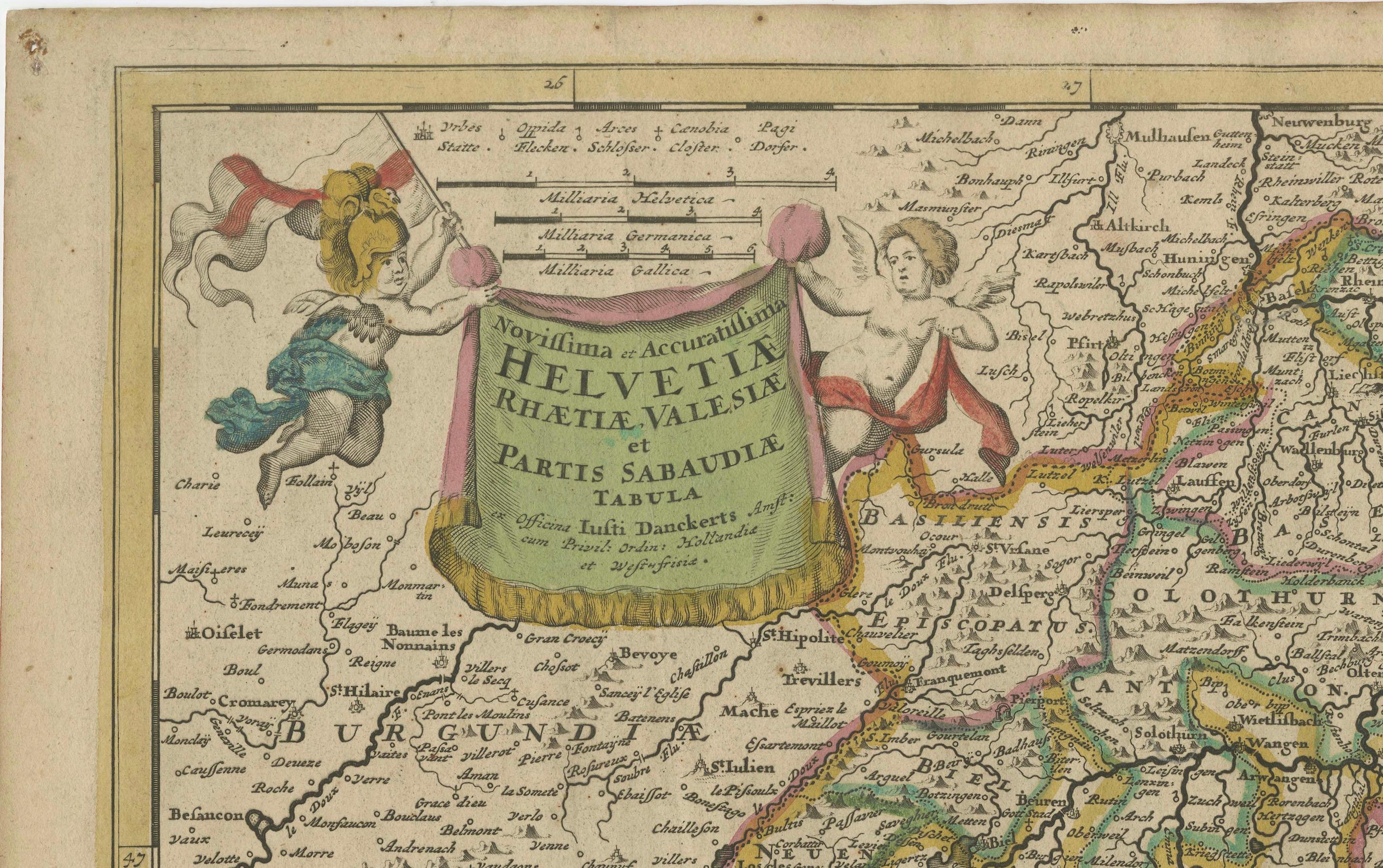
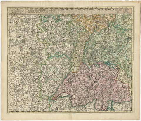
Map of Switzerland by Justus Danckerts, Hand-Colored Engraving ca. 1690
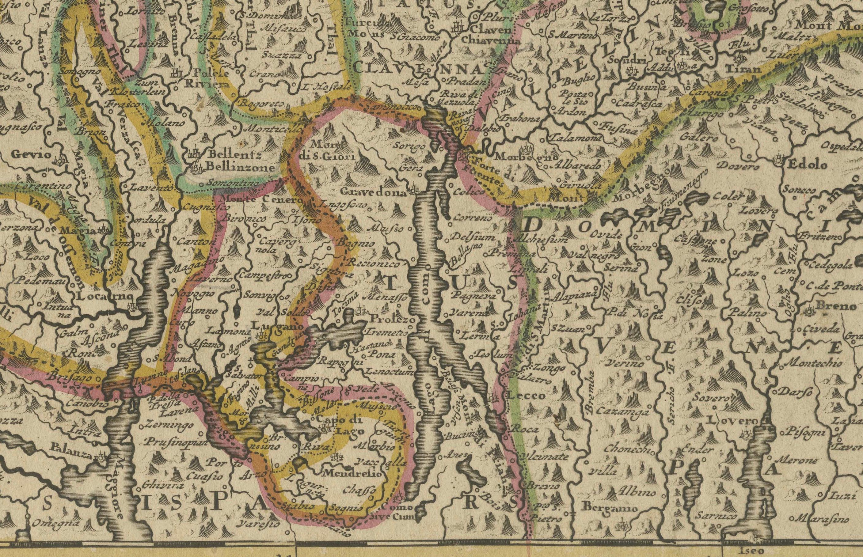
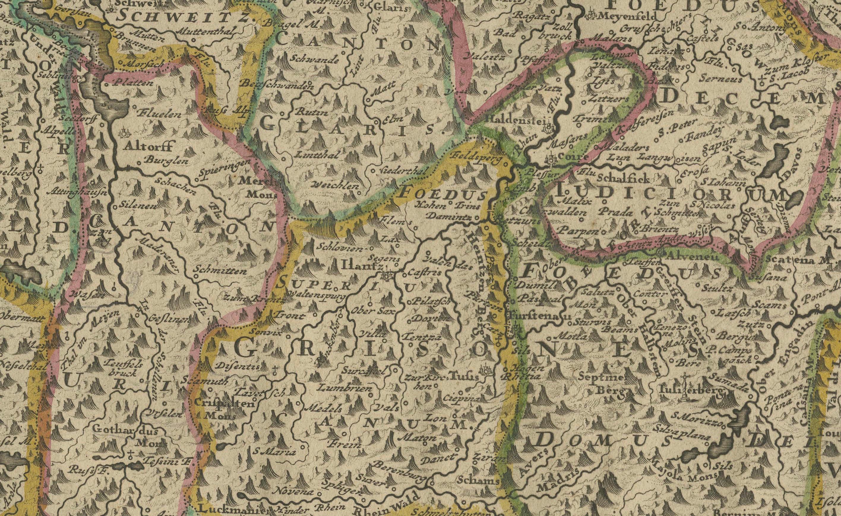
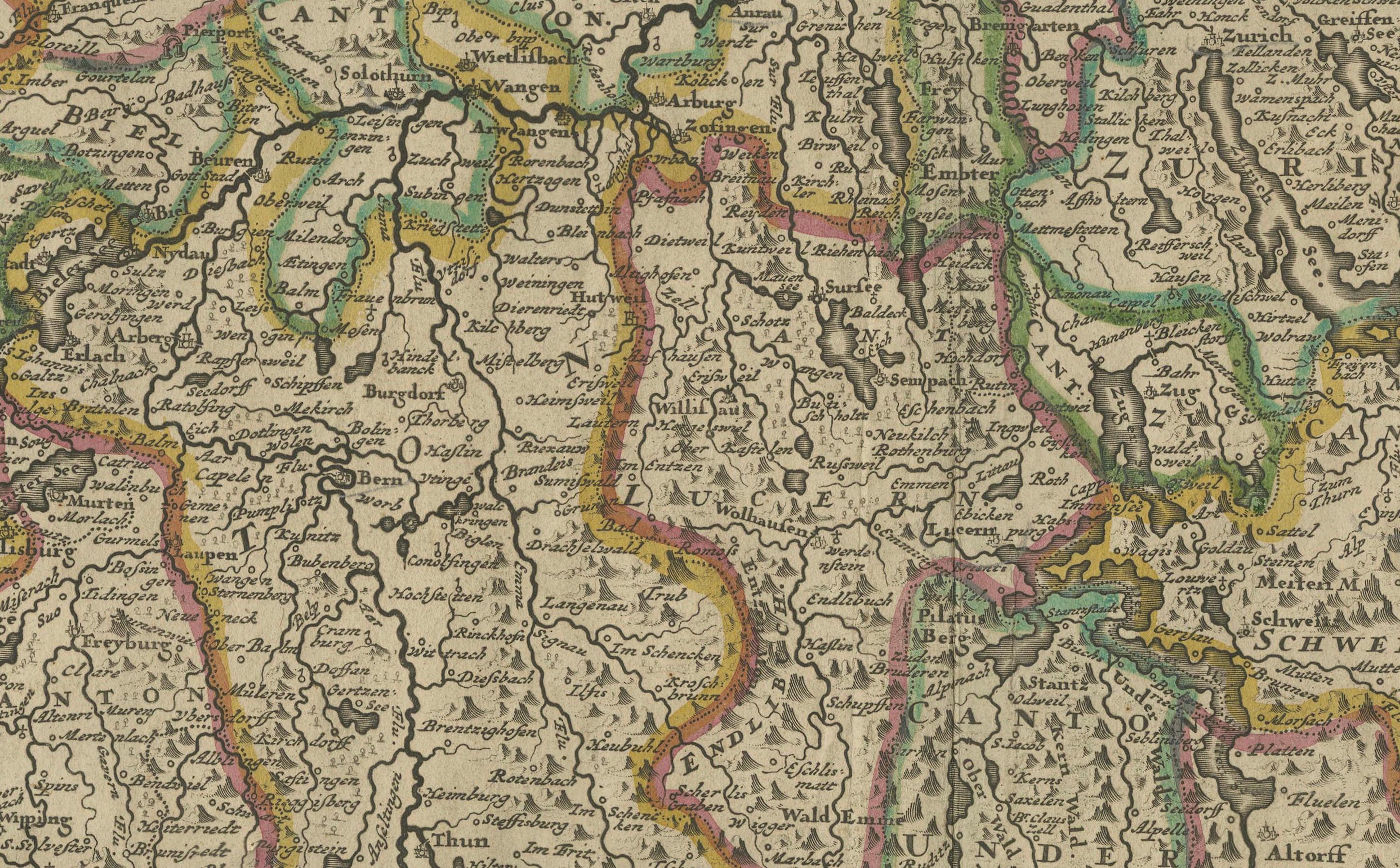
This detailed and attractively hand-colored antique map titled *Helvetiae Rhaetiae et Valesiae, nec non partis Sabaudiae Tabula* was engraved and published by Justus Danckerts in Amsterdam around 1690. It depicts the Swiss Confederacy along with neighboring regions, including Rhaetia (modern Graubünden), Valais, and part of Savoy. This is a quintessential example of late 17th-century Dutch cartography—ornate, richly detailed, and both scientifically useful and visually appealing.
The map is a masterful representation of the geography of the Swiss Alps and surrounding territories. It features major cities such as Zurich, Bern, Basel, Lucerne, and Geneva (Genève), along with an exceptional network of rivers, lakes, mountain ranges, and political boundaries. Lake Geneva (Lemanus Lacus) and parts of the Rhône River system are prominently illustrated.
The regional borders are highlighted in original hand-color, a practice common in maps from this period to distinguish various cantons and territories. In the upper left, a decorative cartouche with scrollwork, draped fabric, and two allegorical figures presents the title. This style of embellishment, with its bold putti and theatrical flair, is characteristic of the Danckerts workshop and helps distinguish this map from earlier works by Blaeu or Janssonius.
Justus Danckerts (1635–1701) came from a renowned family of Dutch mapmakers and publishers. He was part of the third generation of the Danckerts firm and was known for producing high-quality wall maps, atlases, and decorative engravings. His maps were prized for their clarity, vivid hand-coloring, and elegant ornamentation.
This map serves as both a collector’s piece and a decorative artifact of late Dutch Golden Age cartography. It captures a richly detailed vision of Switzerland at a time when it was forming its independent identity in the heart of Europe.
Condition report: Well-preserved, considering age, but with some edge wear, light age toning, but mostly in the borders. The image itself mostly a clean and detailed sharp impression.
Tips for Framng: Best framed in dark walnut or gold-leaf wood, with an off-white or pale grey mat to enhance the map’s intricate linework and rich period coloring.