About this sheet
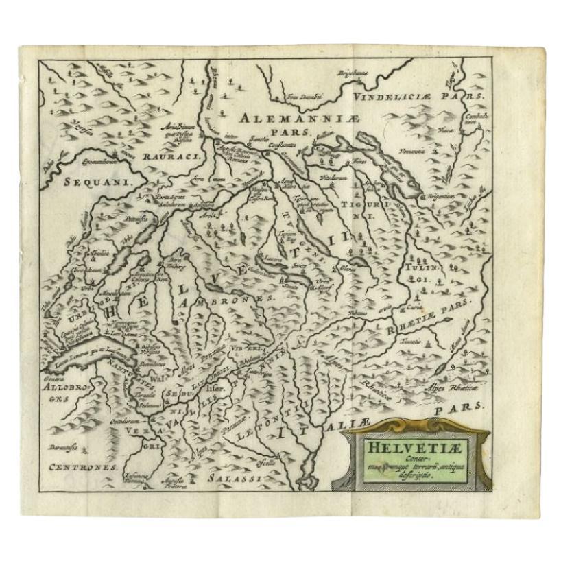
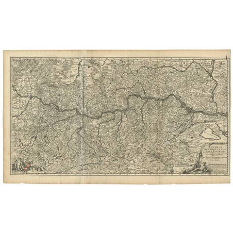
Antique map titled 'Helvetiae Conterminarumque Terrarii, antiqua descriptio.' Miniature map of Switzerland, from the pocket atlas 'Introductionis in Universam Geographiam tam Veterem quam novam .. Acessit P. Bertii (Bertius) Brevarium Orbis Terrarum', by Ph. Cluverius (Cluver) Artists and Engravers: Philipp Cluver (1580 - 1622), early modern German geographer and historian.
Condition: Good, given age. Small repaired hole in title cartouche bottom right. Original folds as issued. Title cartouche partly coloured. General age-related toning and/or occasional minor defects from handling. Please study image carefully.
Date: 1685
Overall size: 14.3 x 13 cm.
Image size: 0.001 x 12.3 x 11.8 cm.
They were the product of engraved, etched or lithographed plates. These plates were handmade out of wood or metal, which required an incredible level of skill, patience and craftsmanship. Whether you have a house with Victorian furniture or more contemporary decor an old engraving can enhance your living space. We offer a wide range of authentic antique prints for any budget.